





Blånebba Hike
Key facts about the hike
- Difficulty
- Very hard Hikes are rated from very easy to very hard: my difficulty scale
- Duration
- 8h Estimated time, short breaks included (photos, water, snacks), picnic not included: how it is calculated
- Distance
- 17.3km
- out and back
- Elevation gain
- 1,660m
- Type of route
- Out and back
- Maximum altitude
- 1,320 m
- Vertiginous Five levels, depending on how exposed the route is: the levels in detail
- Moderately
- Marked
- Yes
- Popularity
- Moderate
- County
- Møre og Romsdal
- Start point
- 62.56375, 7.69112
- Activity
- Hiking
Hike overview
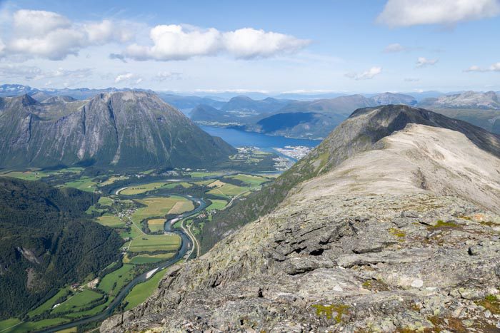
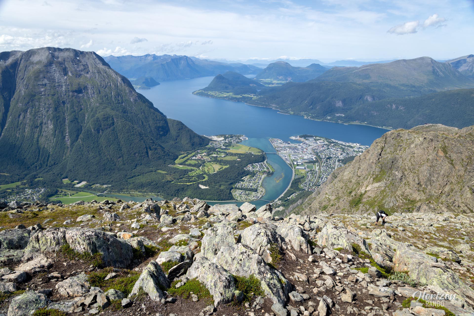
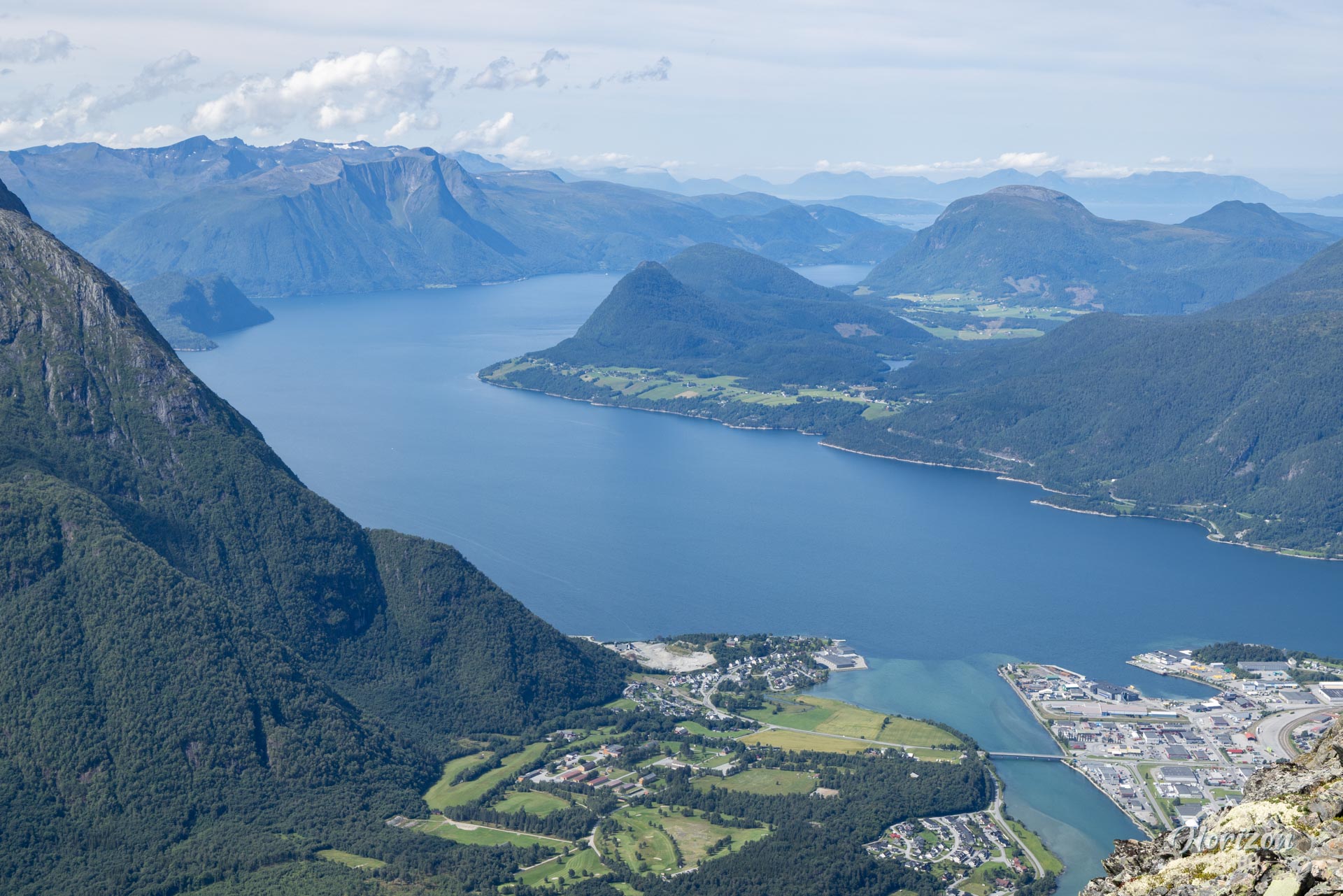
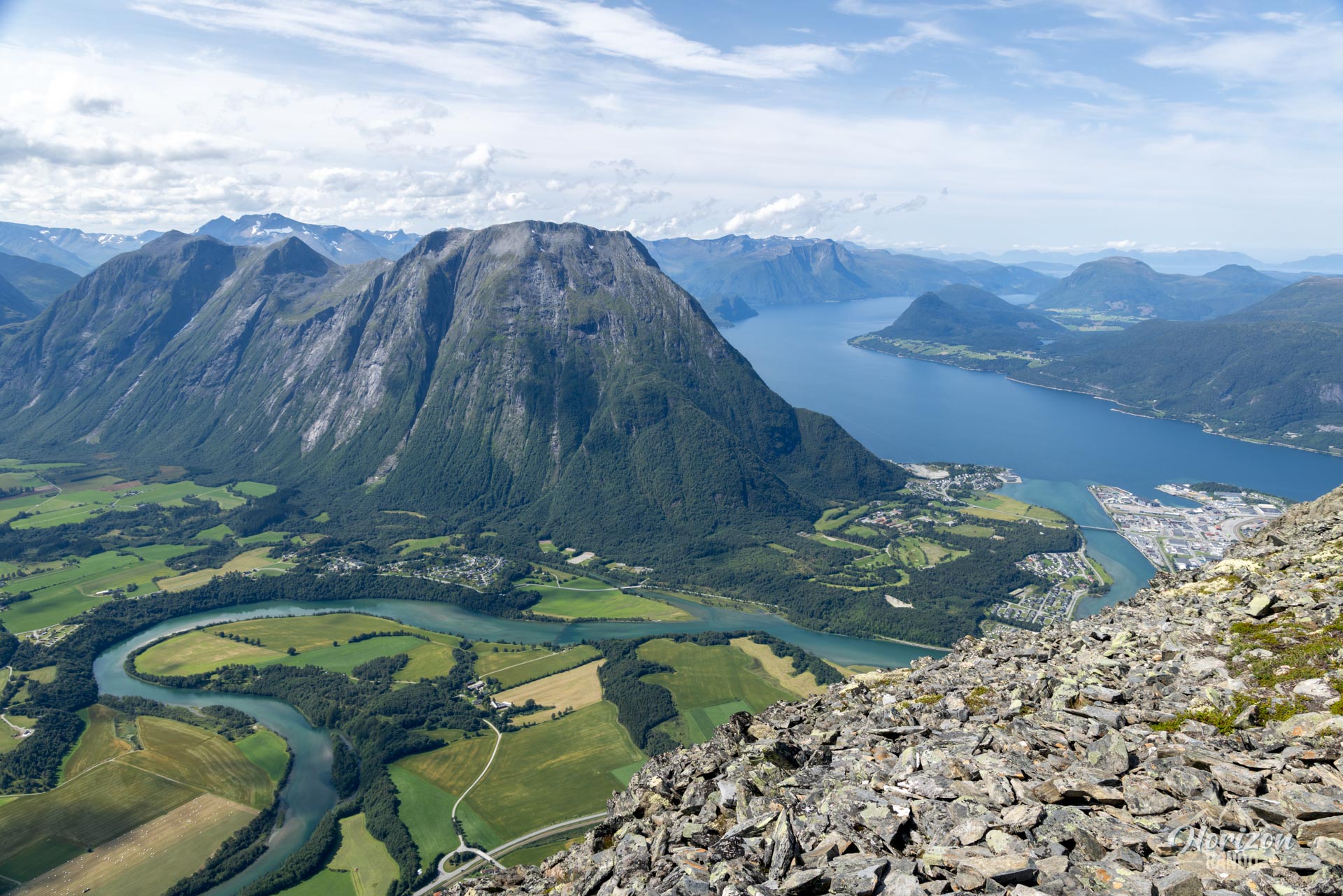
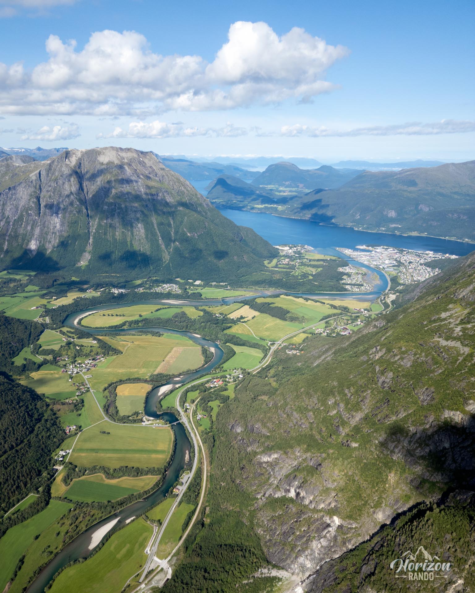
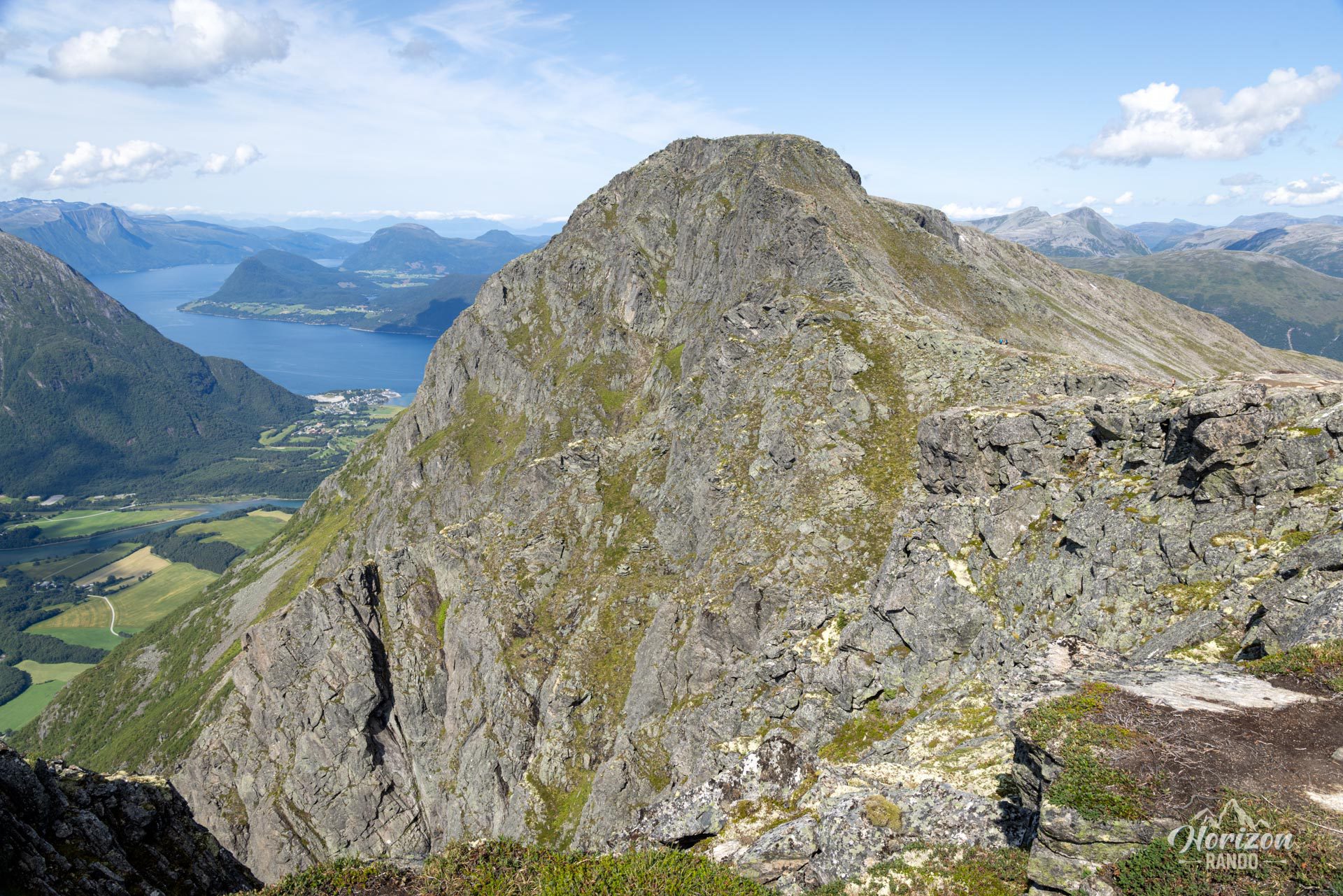
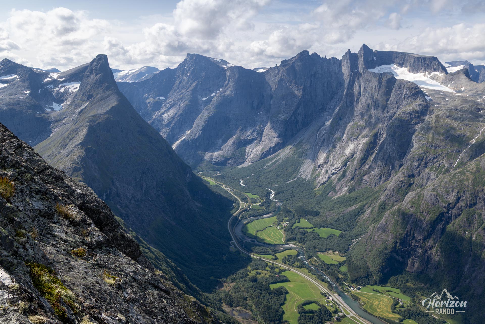
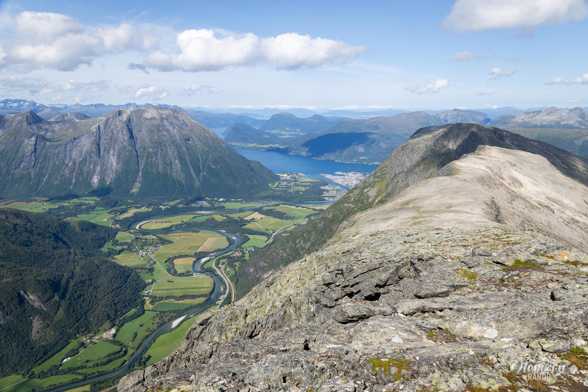
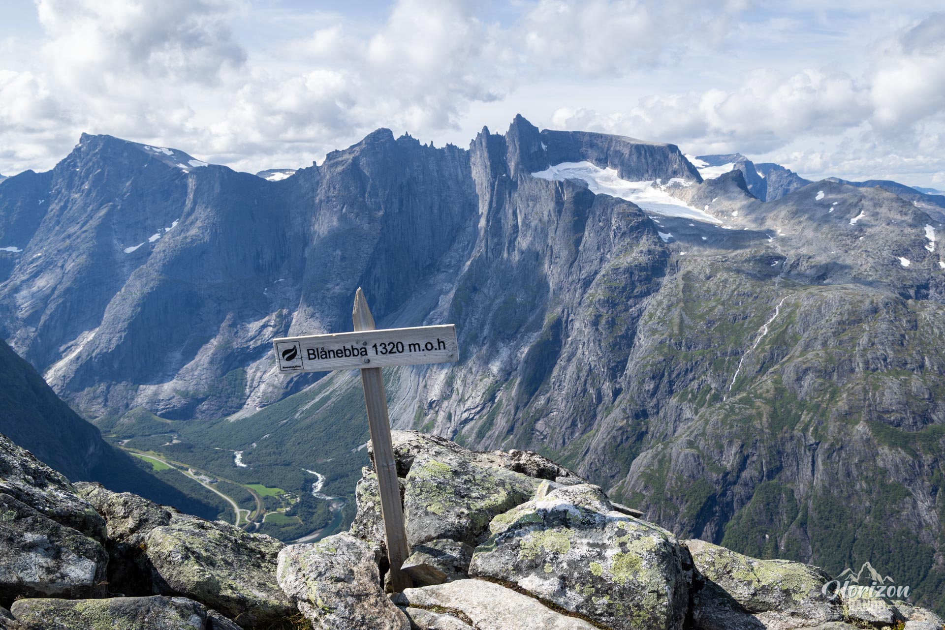
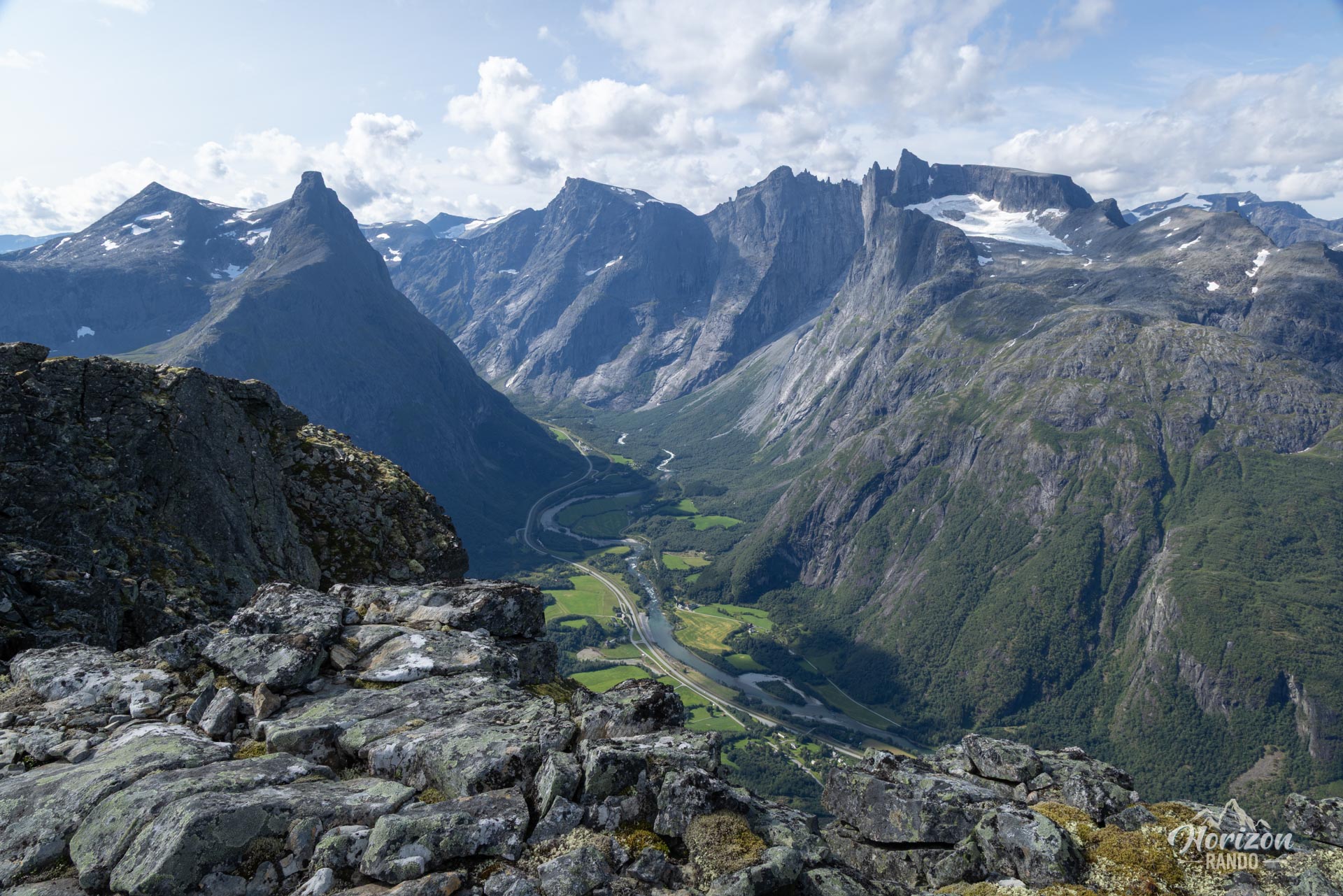
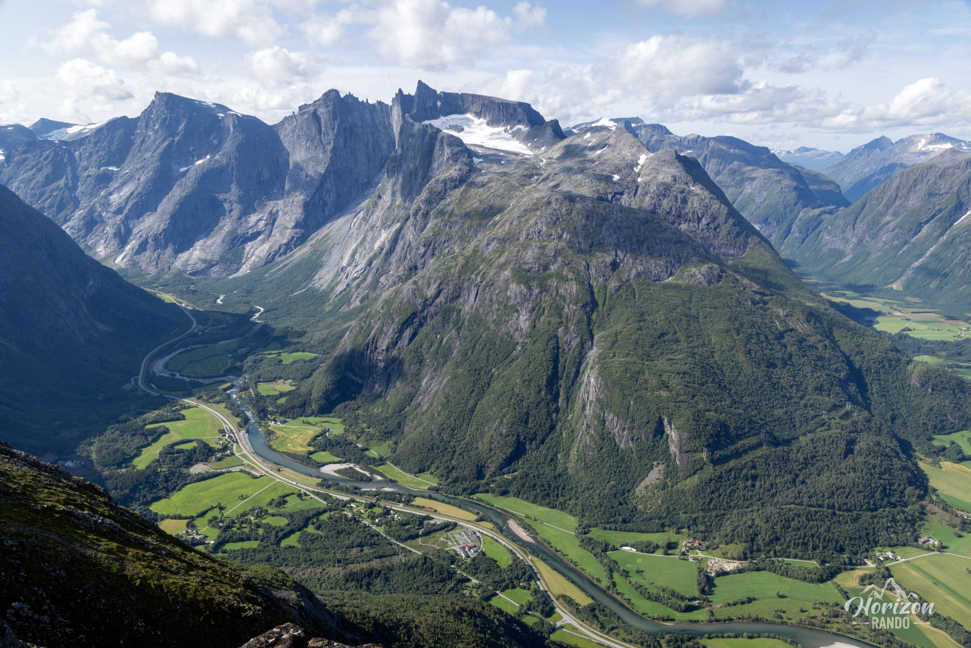
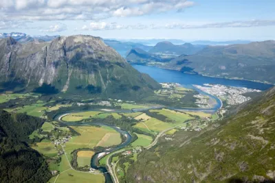
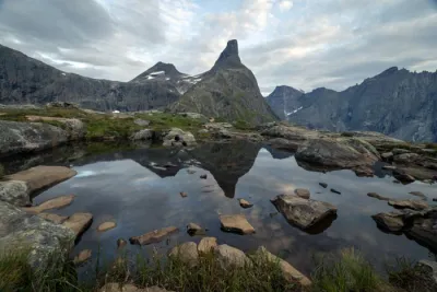
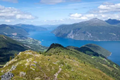
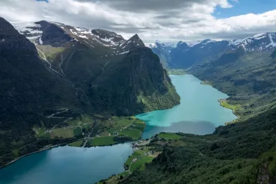
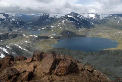
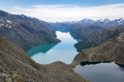
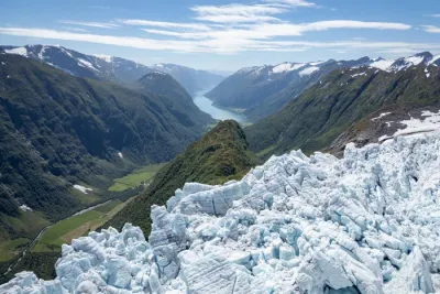
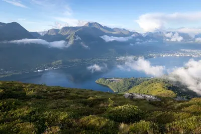
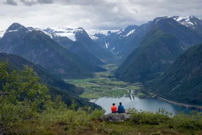
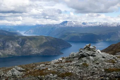
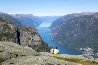
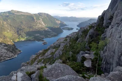
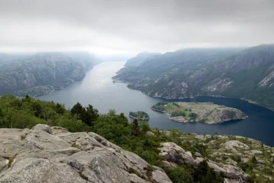
Rising to 1,320 meters, Blånebba is a peak in the heart of Norway's spectacular Romsdal region. Accessible by extending the famous Romsdalseggen ridge walk, this hike promises absolutely unforgettable views. Prepare to be amazed by the impressive Trollveggen (the Troll's Wall) – the highest vertical rock face in Europe, plunging 1,100 meters into the valley, as well as the majestic profile of Romsdalshornet. It is a challenging climb that rewards you with unique views of the treasures of Romsdal.
Map and elevation profile of the hike
Blånebba Hike
Description and difficulties of the hike
Blånebba is classified as very difficult, primarily because of its length and significant cumulative elevation gain. The hike is over 17 kilometers long with 1,600 meters of climbing. Excellent endurance and good cardio fitness are essential!
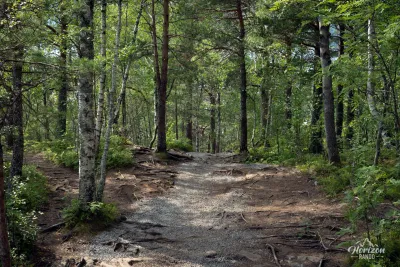
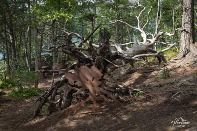
The route sets the tone right from the start with a sustained initial climb through the forest to reach Nesaksla (715 m), where the cable car also arrives. The adventure then continues along the famous Romsdalseggen ridge. Although the average gradient flattens out, the terrain becomes increasingly rocky and mineral, requiring constant attention.
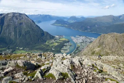
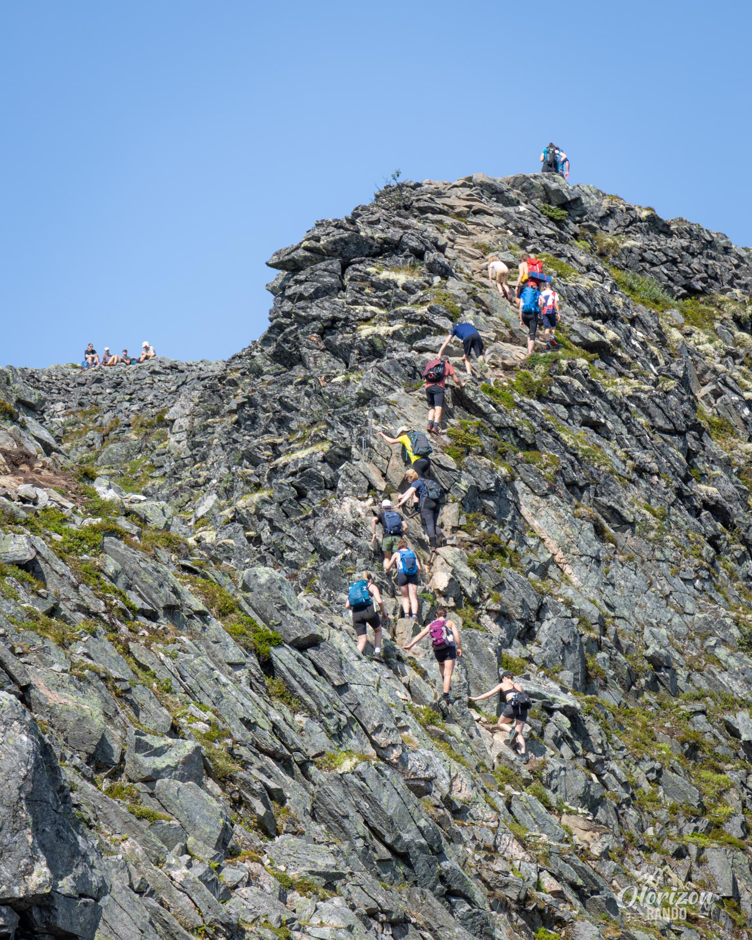
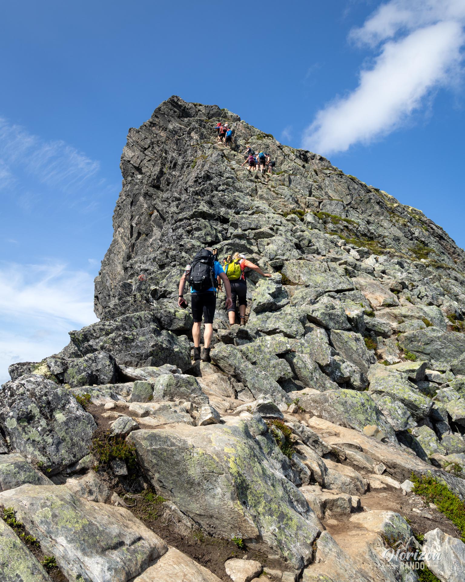
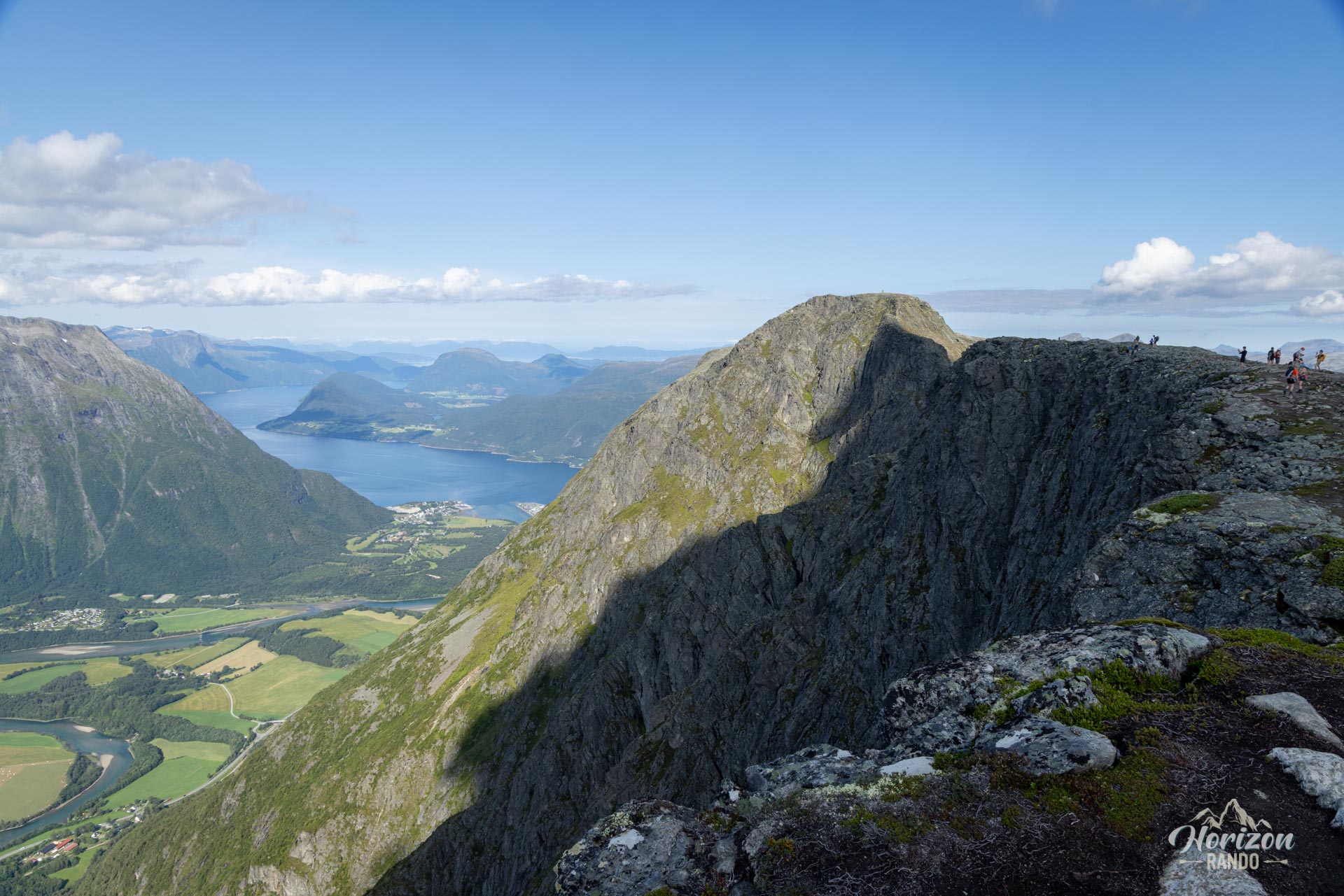
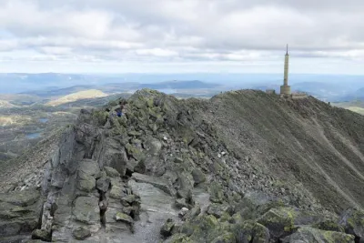
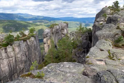
On the ridge, be prepared for some exposed sections that may impress those afraid of heights. Some sections are quite aerial, especially around the second to last summit, Mjolvafjellet (1,216 m). They require some scrambling to progress and are secured by chains at key points.
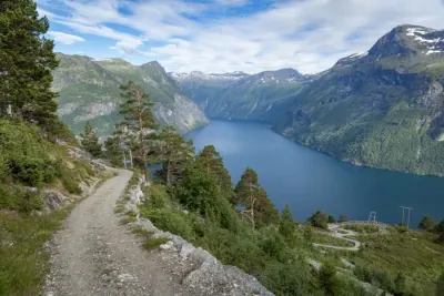
The good news is that, unlike many Norwegian trails, this route is remarkably well marked with regular signposts. You will encounter many hikers until the junction with the classic Romsdalseggen route, then enjoy a wilder and more solitary atmosphere on the final stretch to the summit of Blånebba.
What you'll love
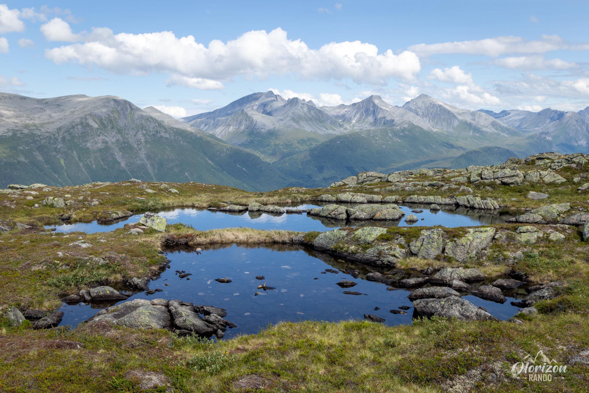
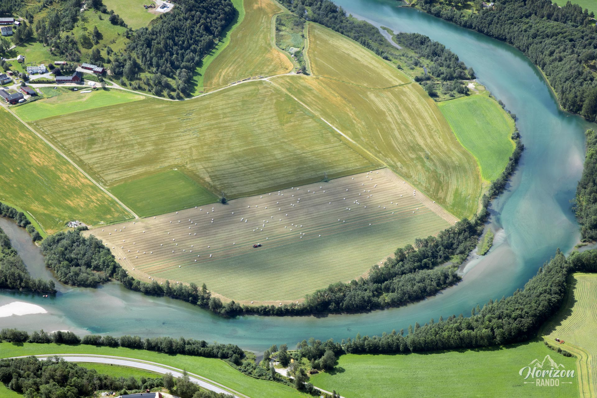
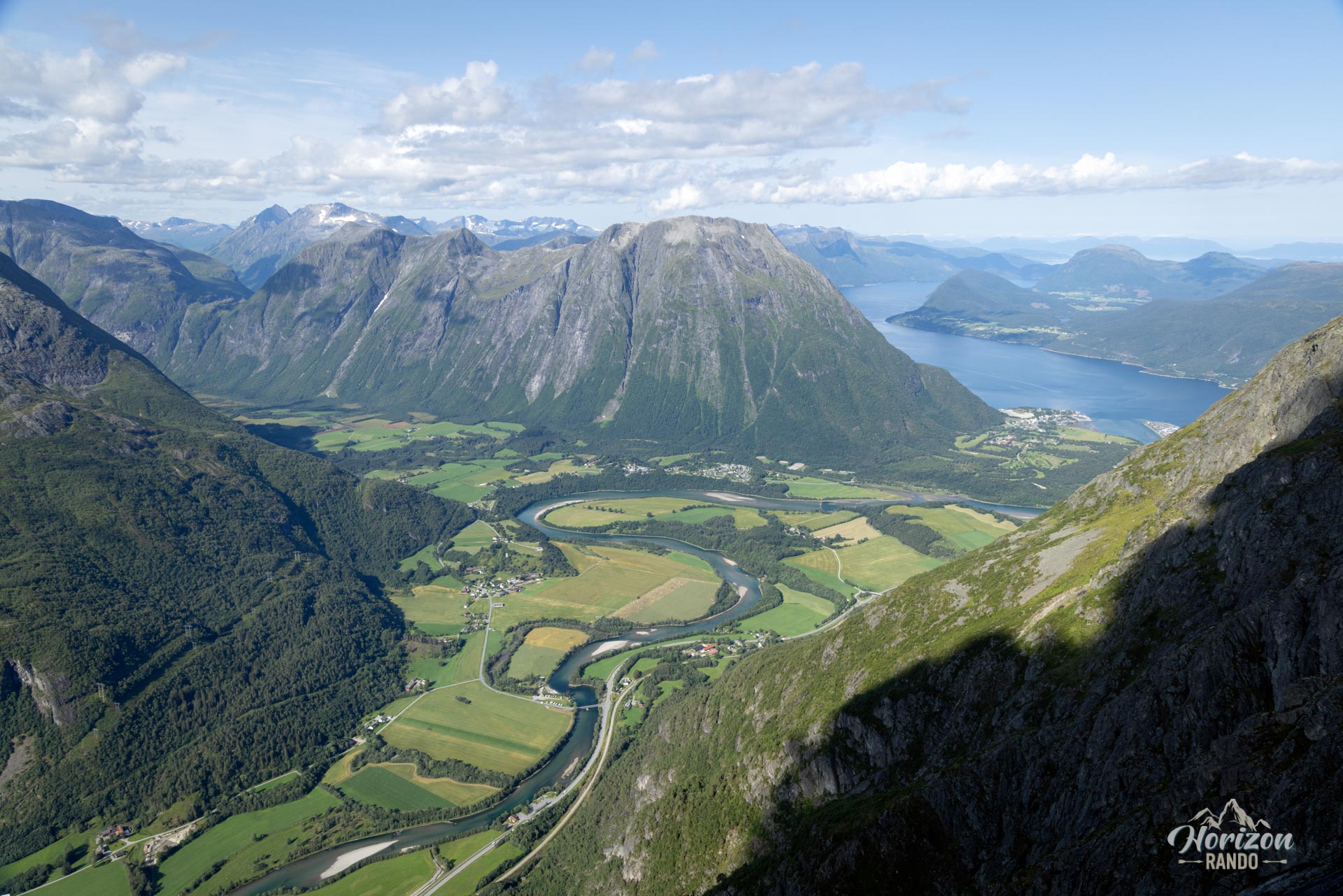
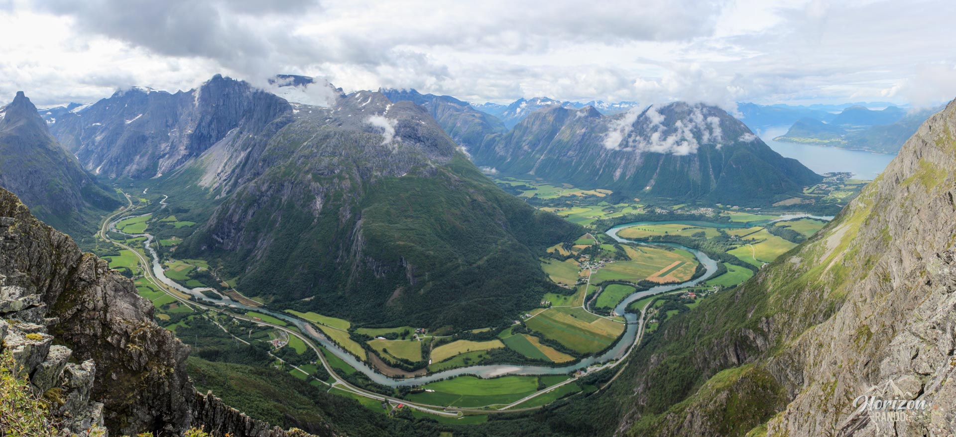
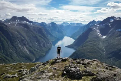
- Spectacular panoramic views: Take in a 360° panoramic view of the Romsdalen valley, the Rauma river, the Trollveggen massif, and more.
- Exceptional ridge crossing: Walk over 12 km there and back on a spectacular ridge, surrounded by magnificent landscapes stretching as far as the eye can see.
- Sense of achievement: Experience the intense pleasure of reaching a prestigious summit after a strenuous journey, followed by a more intimate finale that is often much less frequented than the initial part of the ridge.
Practical information
Best time to go
From July to September, on average. See the Norway FAQ for more details. This will help you avoid dangerous snowfields that could make some sections of the ridge dangerous. Be sure to check the trail conditions before setting off, especially at the beginning and end of the season.
Alternative via cable car
For a less physically demanding hike, you can take the Romsdalsgondolen cable car between Åndalsnes and Nesaksla (715 m). Cable cars depart approximately every half hour. This option allows you to focus on the magnificent ridge walk. The route is then approximately 12.6 kilometers with 930 meters of elevation gain.
Photos
See all 20 photos →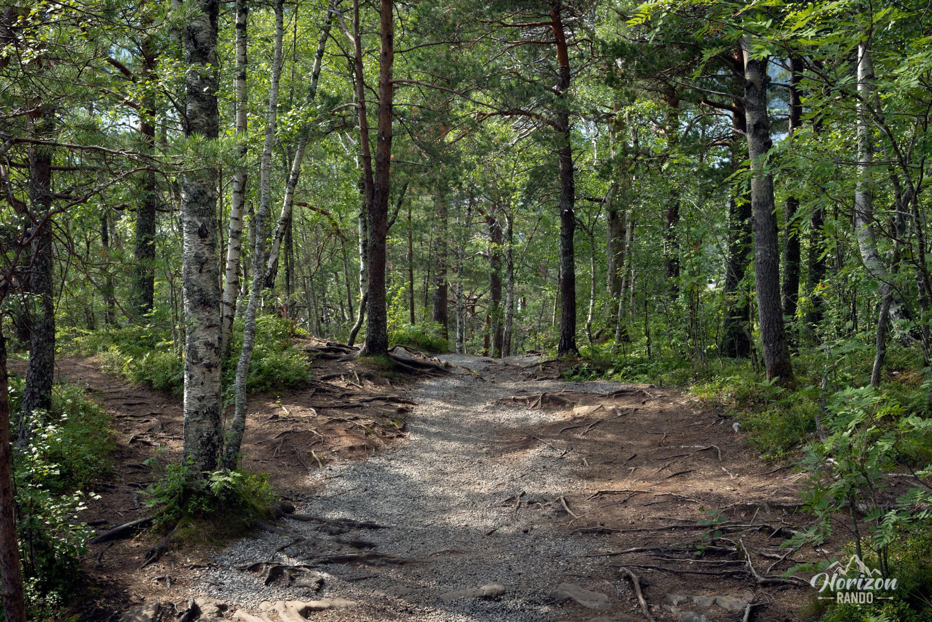
More hikes to do in Norway
Nearby hikes
Printed from www.horizonrando.fr/en/norway/blanebba/