
Via Ferrata Brigata Tridentina
Hike overview
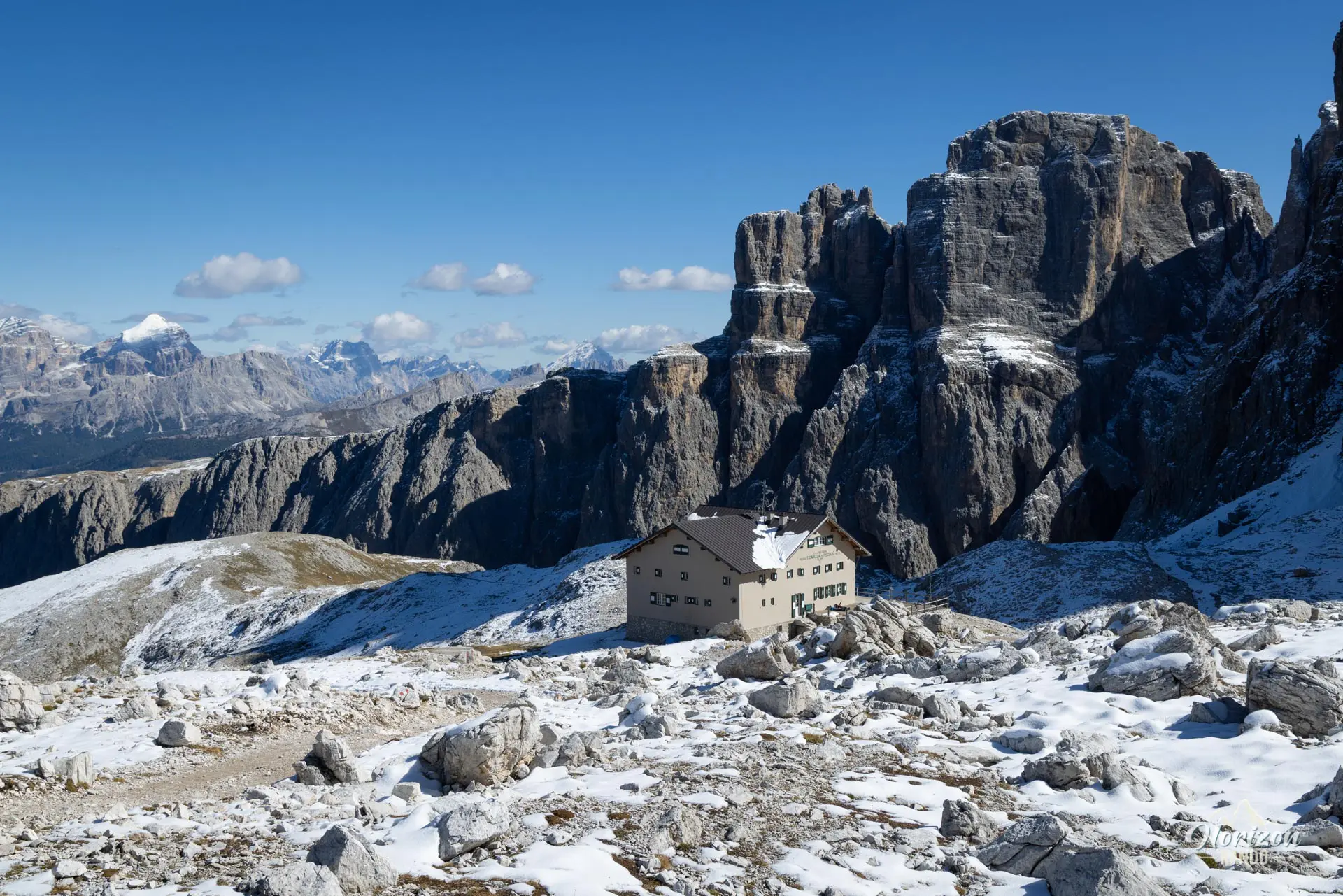
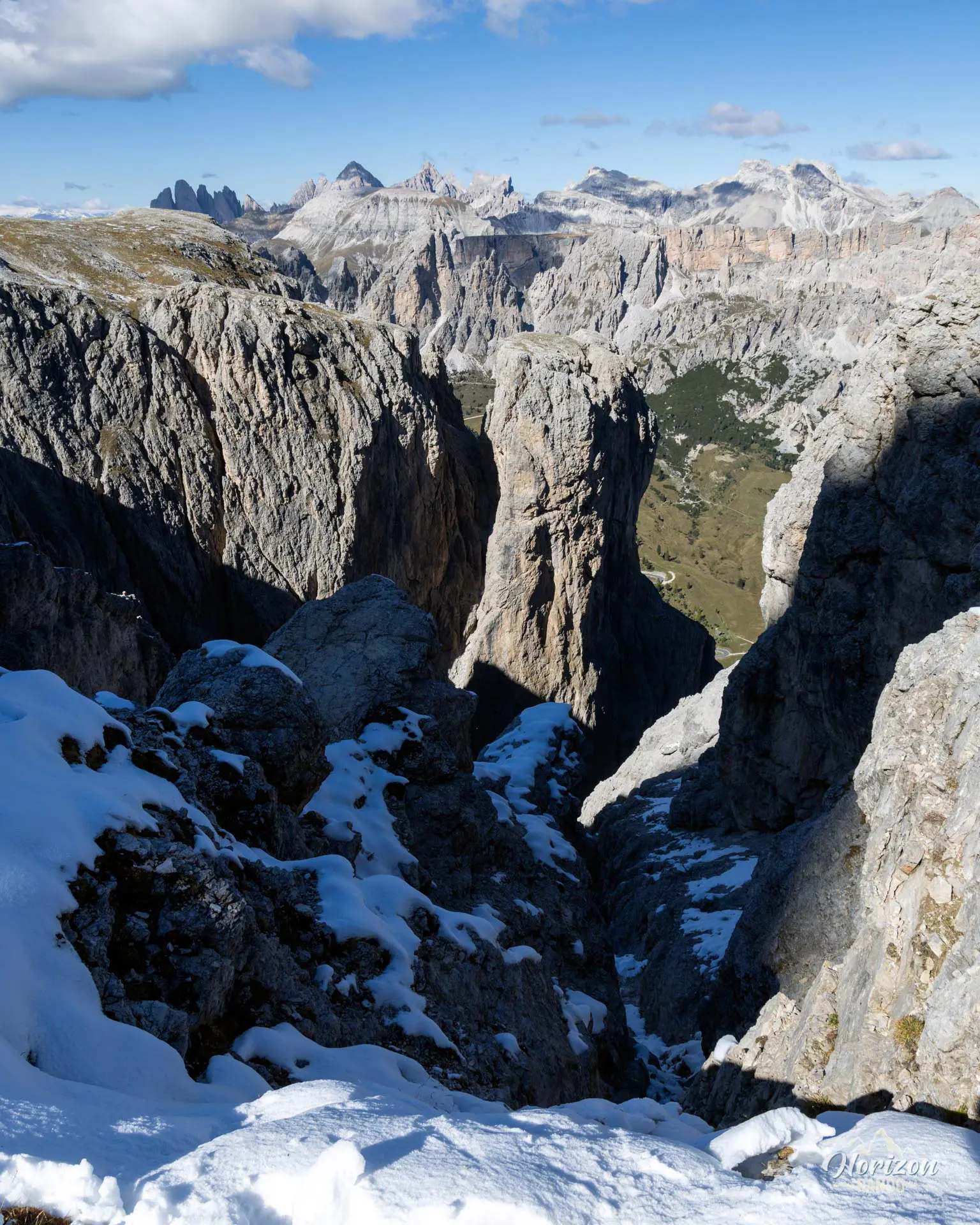
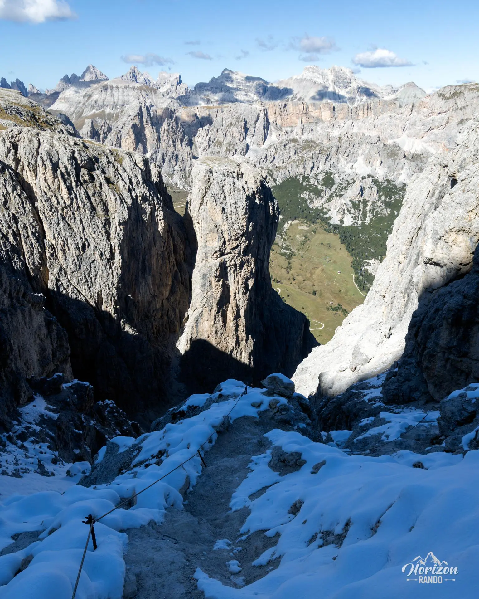
The via ferrata Brigata Tridentina is a classic route in the Dolomites. It climbs the north face of the Sella Group, above Passo Gardena, to the Cavazza al Pisciadù mountain hut (2,587 m). The route features a series of vertical walls and crosses a spectacular suspension bridge between the Exner Tower and the Pisciadù plateau, which has become the symbol of the via ferrata since its installation.
The hike is magnificent from start to finish, but it suffers from its popularity. During peak season, lines at key sections can make the ascent a test of patience. Setting out very early in the morning or evening is highly recommended to fully enjoy the experience.
Remarks
Equipment: a helmet, harness, and via ferrata lanyard are required. Gloves are recommended.
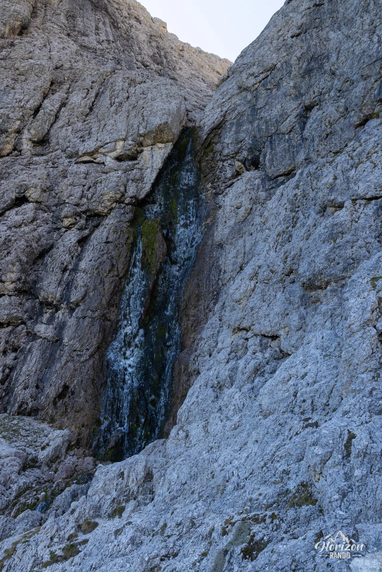
Ideal time of year: from mid-June to late September. The north face is prone to frost at the beginning and end of the season. July is the best month to see the Pisciadù waterfall in all its glory. In August, however, it may reduce to a trickle or even dry up completely.
Timing: to avoid crowds, aim to start before 7 a.m. or in the middle of the afternoon. Starting in the middle of the morning almost always results in traffic jams at key sections.
Description and difficulties of the hike
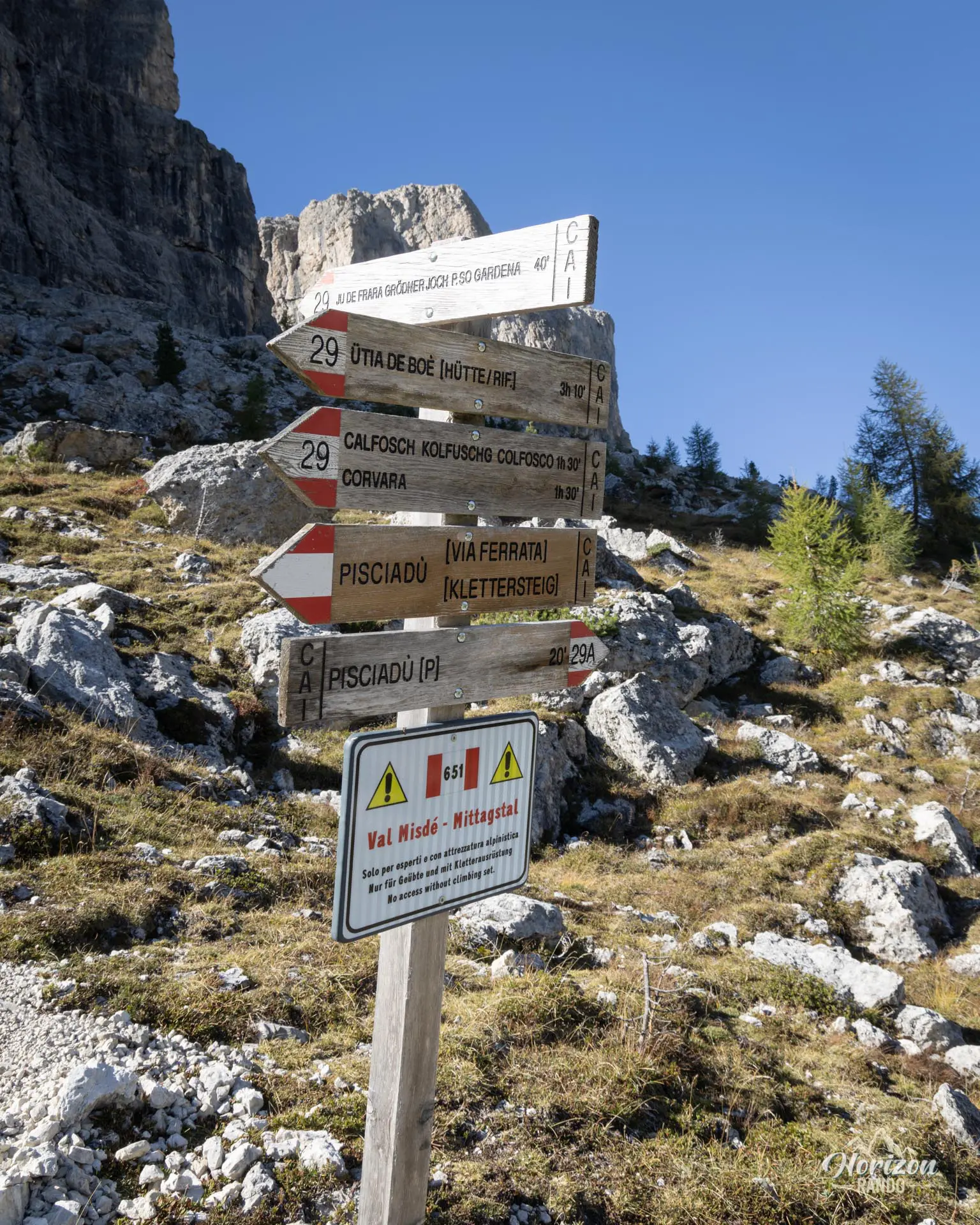
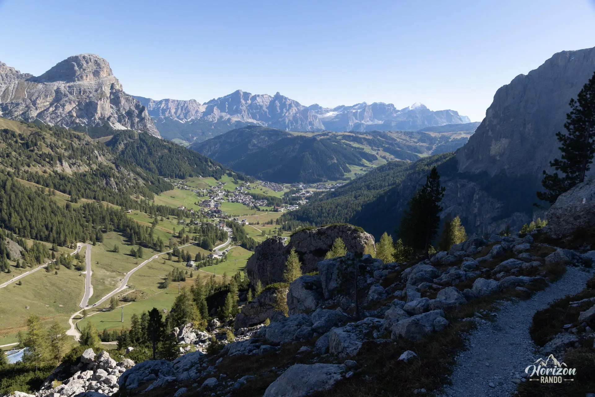
From the small parking lot below Passo Gardena, a gently sloping trail leads to the base of the first cables in about fifteen minutes. The via ferrata consists of three distinct sections, each offering an escape route to a bypass trail, which is useful in case of fatigue or deteriorating weather.
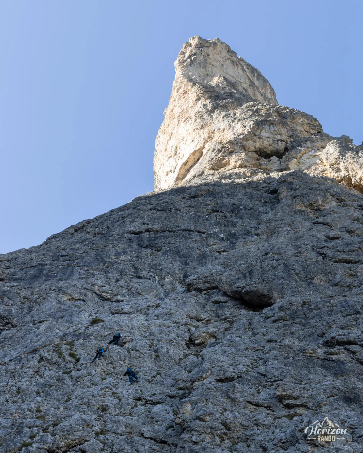
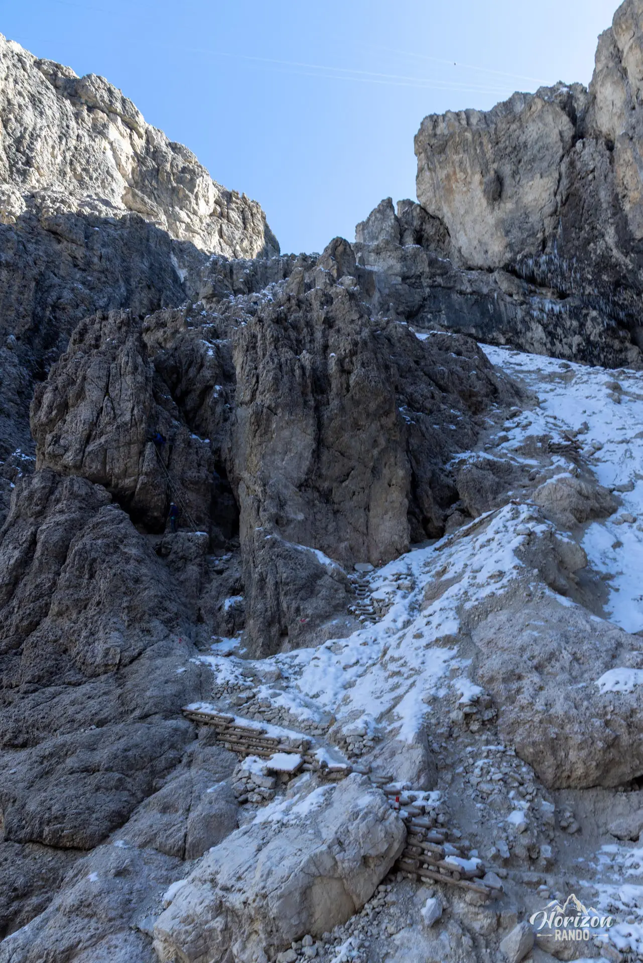
The first section is short and consists of a series of cable crossings and a few metal rungs on a moderately angled rock face. It serves as a warm-up and gives a good idea of the required skill level. After an intermediate passage that runs alongside the Pisciadù waterfall—which has a good flow in July but may dry up later in the season—the second section tackles the main wall. This section is the longest, on well-bolted rock. It is never excessively difficult, but it is sustained and increasingly airy as you gain height.
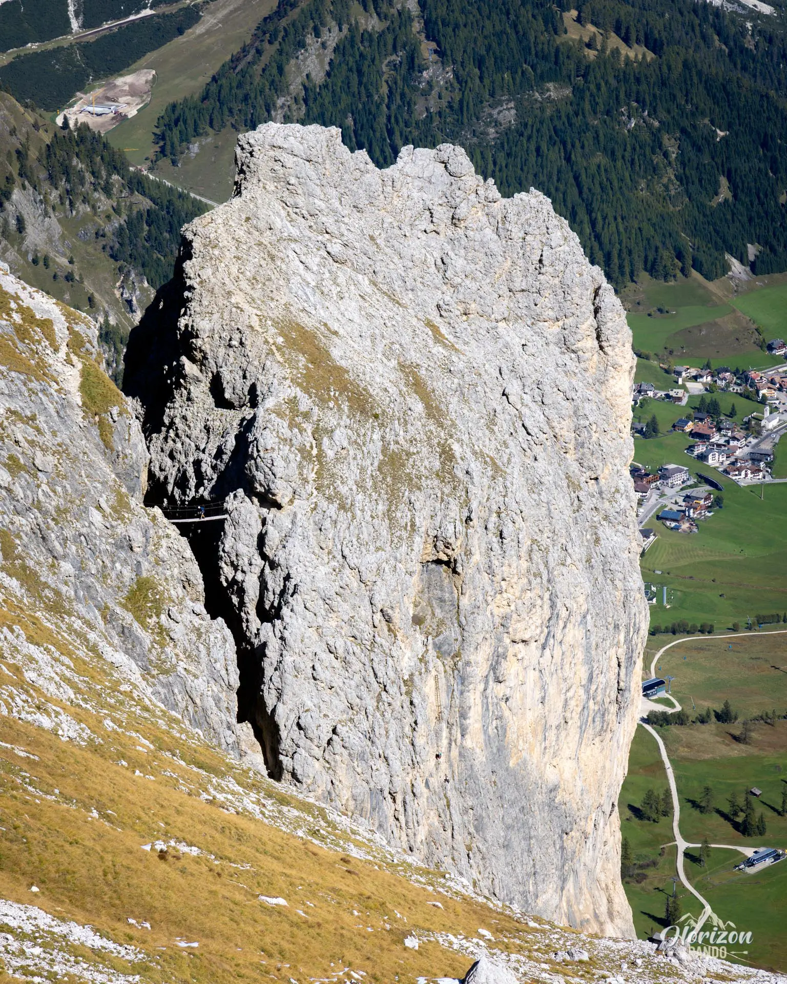
The third section, around the Exner Tower, contains the most challenging passages: a vertical dihedral, a long metal ladder, and the famous footbridge connecting the tower to the final ledge. Short but impressive, it spans a vertiginous void of several hundred meters. A trail then leads to the Cavazza al Pisciadù refuge in about ten minutes. While the technical difficulty remains moderate (B/C), the elevation gain and steep terrain require good stamina and a head for heights.
The descent follows trail no. 666 in the Val Setus (Alta Via 2). The upper section is equipped with a handline: few passages actually require clipping in. The trail then plunges into a wide gully of scree and loose rocks. Numerous tight switchbacks make the descent manageable, but caution is advised because the terrain is slippery.
What you'll love
- The iconic footbridge: suspended over the void between two gigantic cliffs. It is the highlight of the ascent.
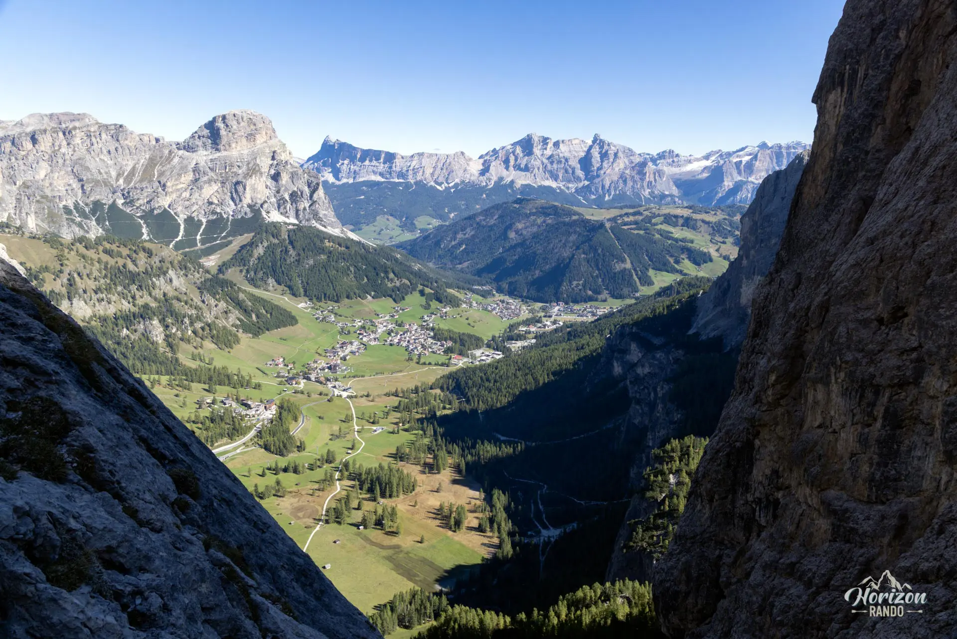
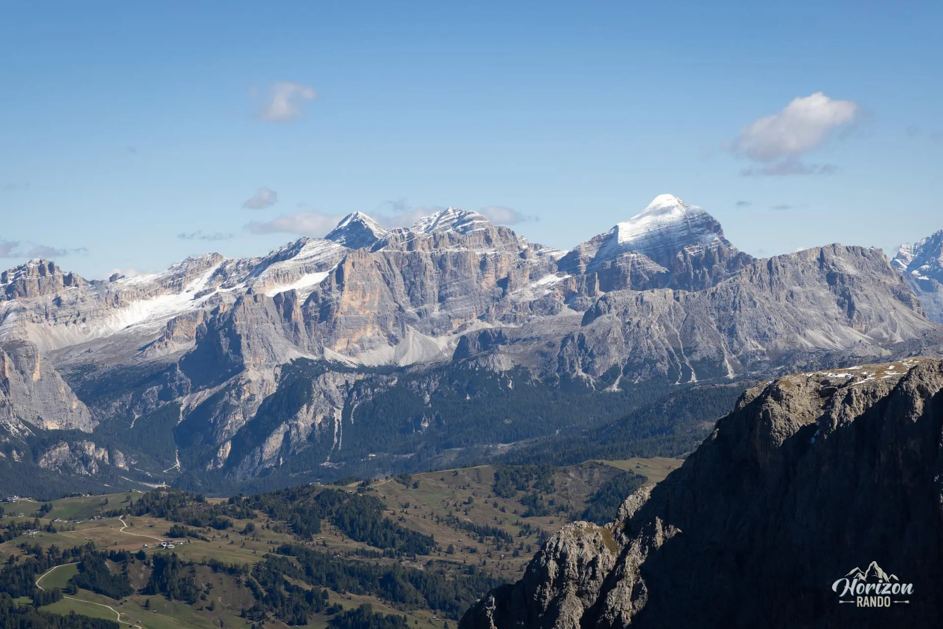
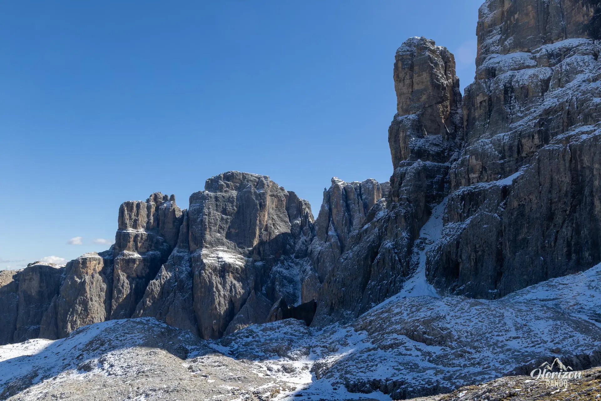
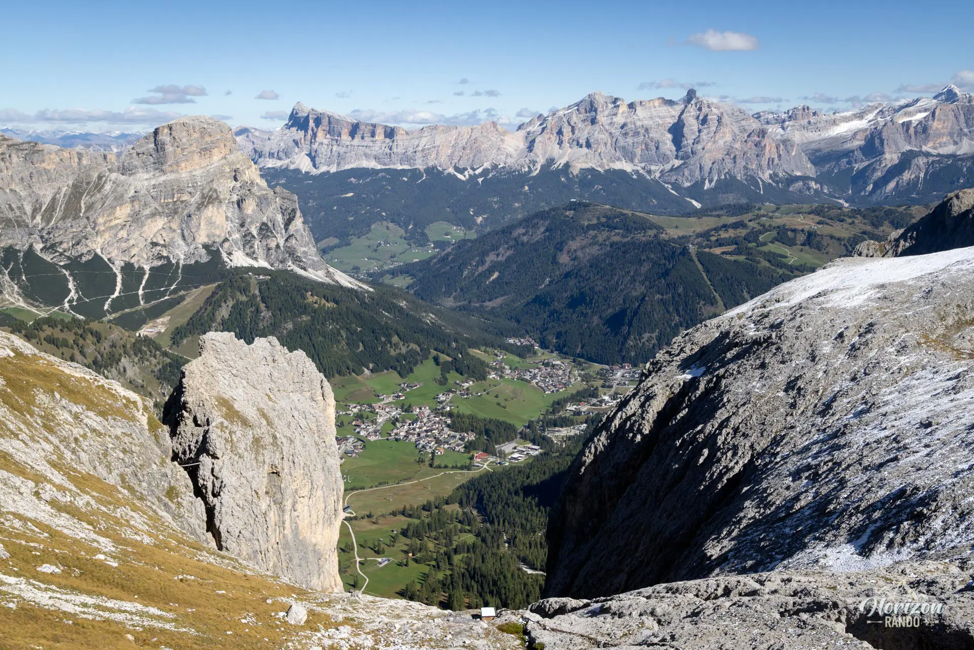
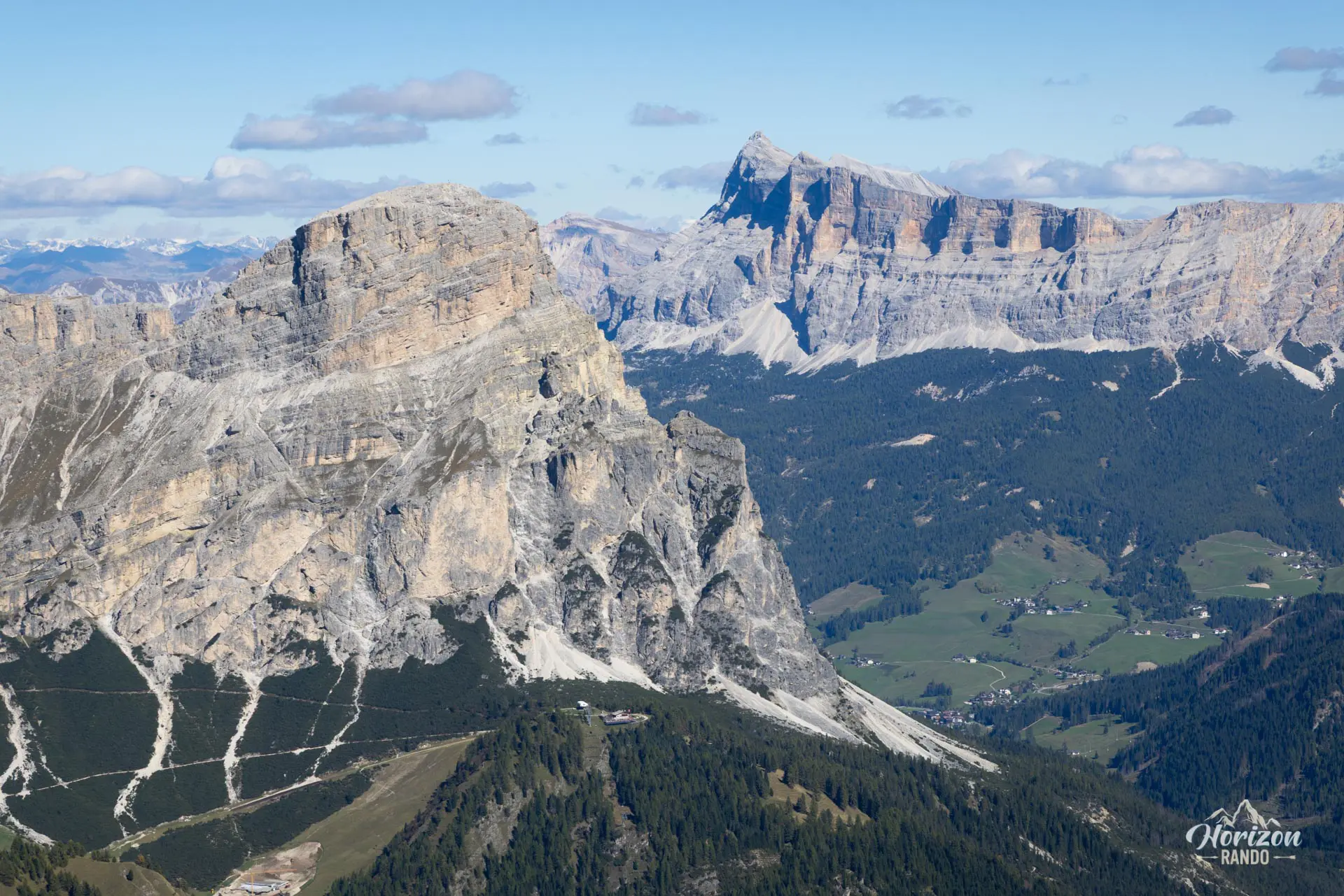
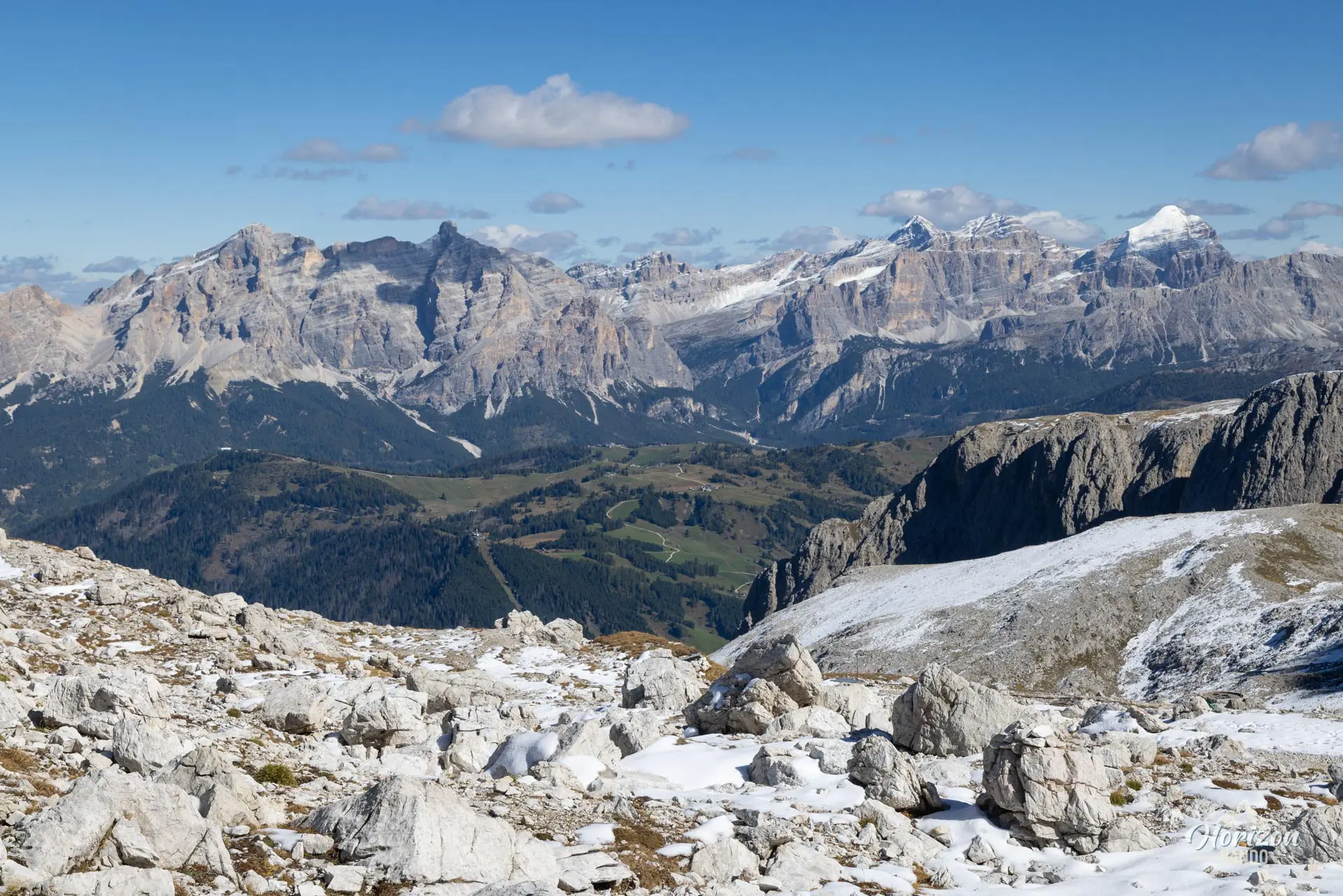
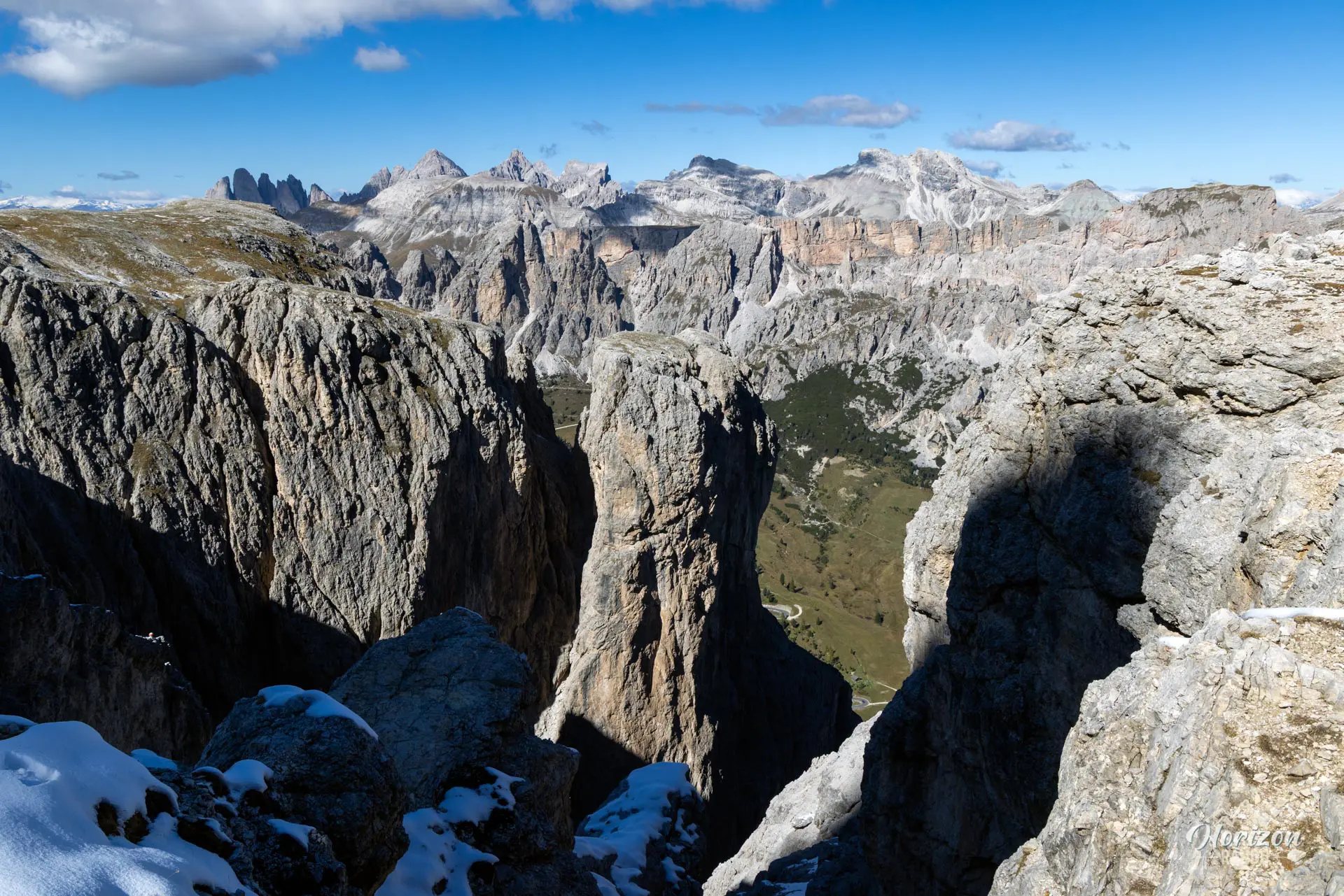
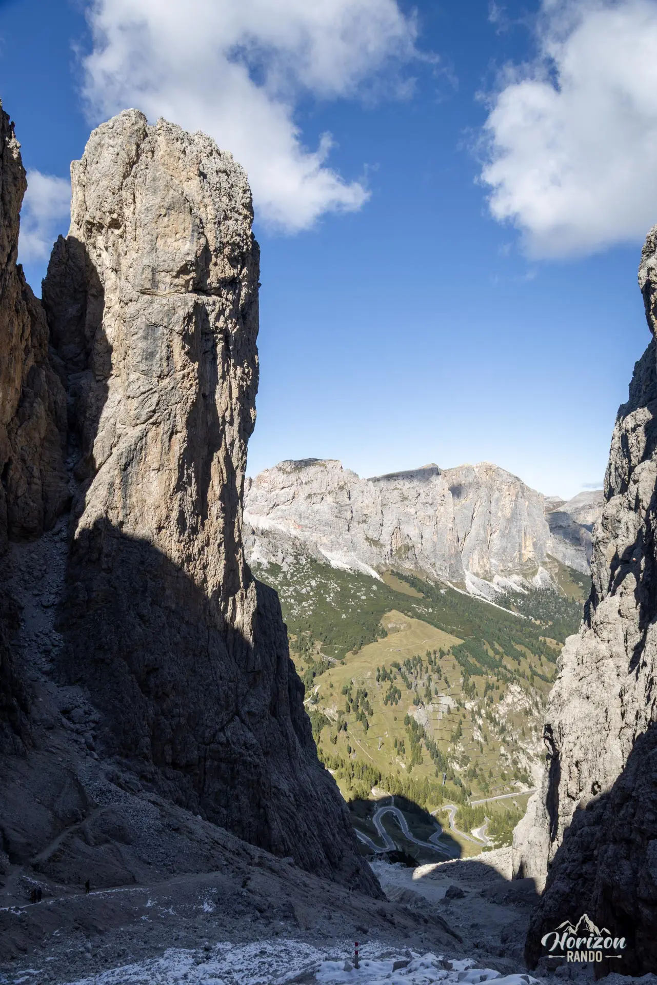
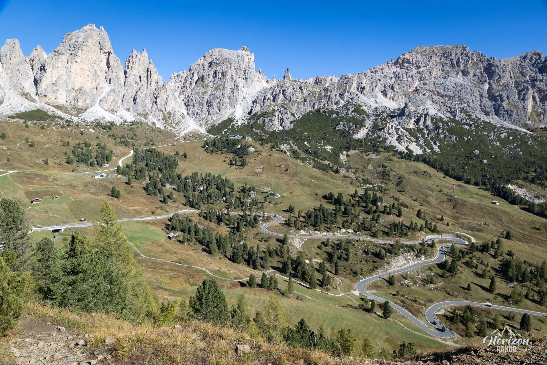
- The spectacular views throughout the climb: of the spires and vertical walls of the Sella Group. The panorama widens to include Colfosco and Val Badia as you climb.
- The memorable arrival at the Cavazza al Pisciadù mountain hut, nestled in a rocky cirque of the Sella Group with its small alpine lake.
- The Pisciadù waterfall: magnificent early in the season when the flow is still strong. It is passed halfway up the route.
Hike technical sheet
➡️ Hiking parameters
➡️ Hiking parameters
➡️ Hiking parameters
Map and elevation profile of the hike
Slideshow
Nearby hikes

Sass da Ciampac Hike
- Difficulty : Moderate
- Duration : 3 h 30
- Distance : 8.2 km
- Elevation gain : 660 m

Via Ferrata Gran Cir
- Hiking Difficulty : Easy
- Via Ferrata Difficulty : A (Easy)
- Duration : 2 h 45
- Distance : 4.1 km
- Elevation gain : 460 m

Via Ferrata Piccolo Cir
- Hiking Difficulty : Easy
- Via Ferrata Difficulty : B (Moderatly difficult)
- Duration : 2 h 30
- Distance : 3.4 km
- Elevation gain : 400 m

Sassongher Hike
- Difficulty : Hard
- Duration : 4 h 30
- Distance : 9.1 km
- Elevation gain : 980 m
Map of the 10 closest hikes
Hikes to discover

Via Ferrata Ra Gusela
- Hiking Difficulty : Easy
- Via Ferrata Difficulty : A (Easy)
- Duration : 3 h 30
- Distance : 8 km
- Elevation gain : 610 m

Fanes Waterfalls Hike and Via Ferrata
- Hiking Difficulty : Moderate
- Via Ferrata Difficulty : A (Easy)
- Duration : 4 h 30
- Distance : 10 km
- Elevation gain : 560 m

Croda da Lago Loop
- Difficulty : Moderate
- Duration : 5 h
- Distance : 12.8 km
- Elevation gain : 910 m

Lago di Braies Loop
- Difficulty : Very easy
- Duration : 1 h 15
- Distance : 3.7 km
- Elevation gain : 90 m

Monte Nuvolau, Monte Averau and Cinque Torri Circuit
- Hiking Difficulty : Hard
- Via Ferrata Difficulty : A/B (Easy)
- Duration : 5 h 30
- Distance : 11.4 km
- Elevation gain : 950 m

Via Ferrata Ra Gusela and Averau
- Hiking Difficulty : Moderate
- Via Ferrata Difficulty : A/B (Easy)
- Duration : 4 h 30
- Distance : 9 km
- Elevation gain : 720 m