





Via Ferrata Ra Gusela
Key facts about the hike
- Via ferrata difficulty
- A Via ferrata grades, from A (easy) to E (extremely difficult): my via ferrata scale
- Easy
- Duration
- 3h30 Estimated time, short breaks included (photos, water, snacks), picnic not included: how it is calculated
- Distance
- 8km
- Elevation gain
- 610m
- Hiking difficulty
- Easy
- Type of route
- Loop
- Maximum altitude
- 2,595 m
- Vertiginous Five levels, depending on how exposed the route is: the levels in detail
- Slightly
- Marked
- Yes
- Popularity
- Moderate
- Start point
- 46.48255, 12.05369
- Activity
- Hiking and Via Ferrata
Hike overview
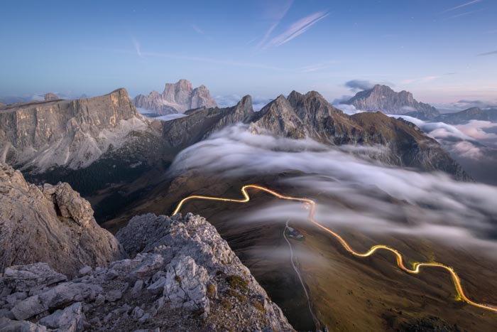
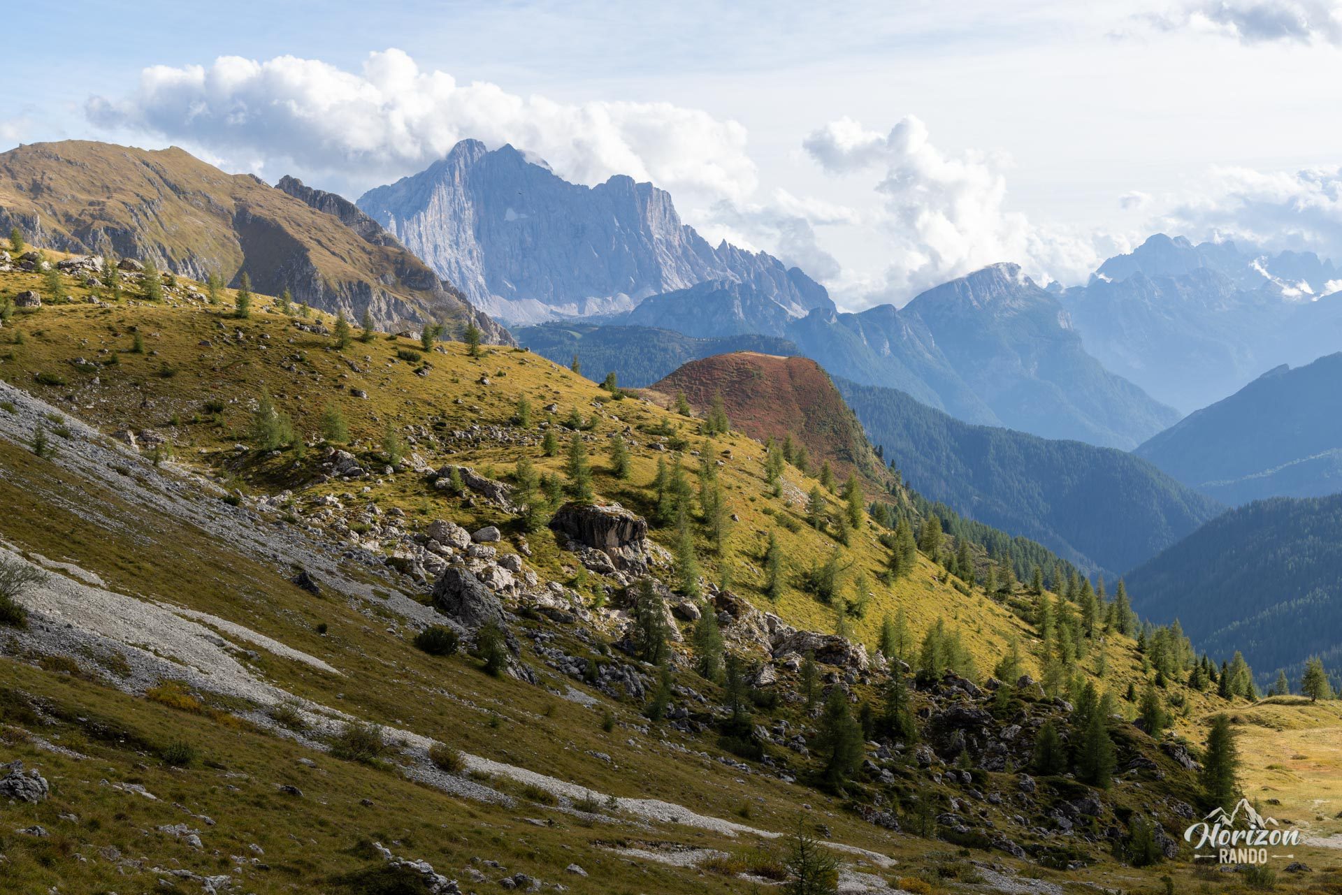
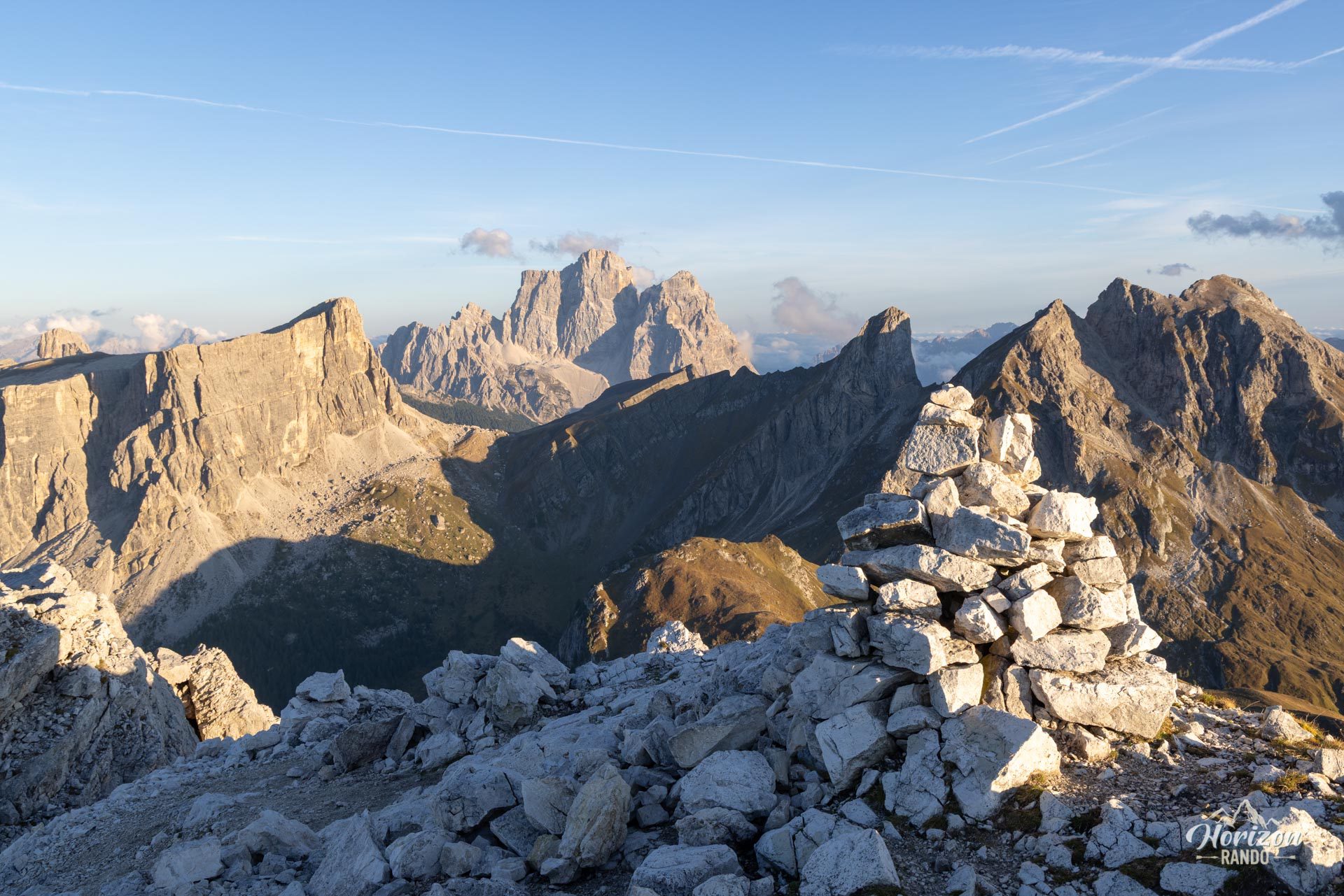
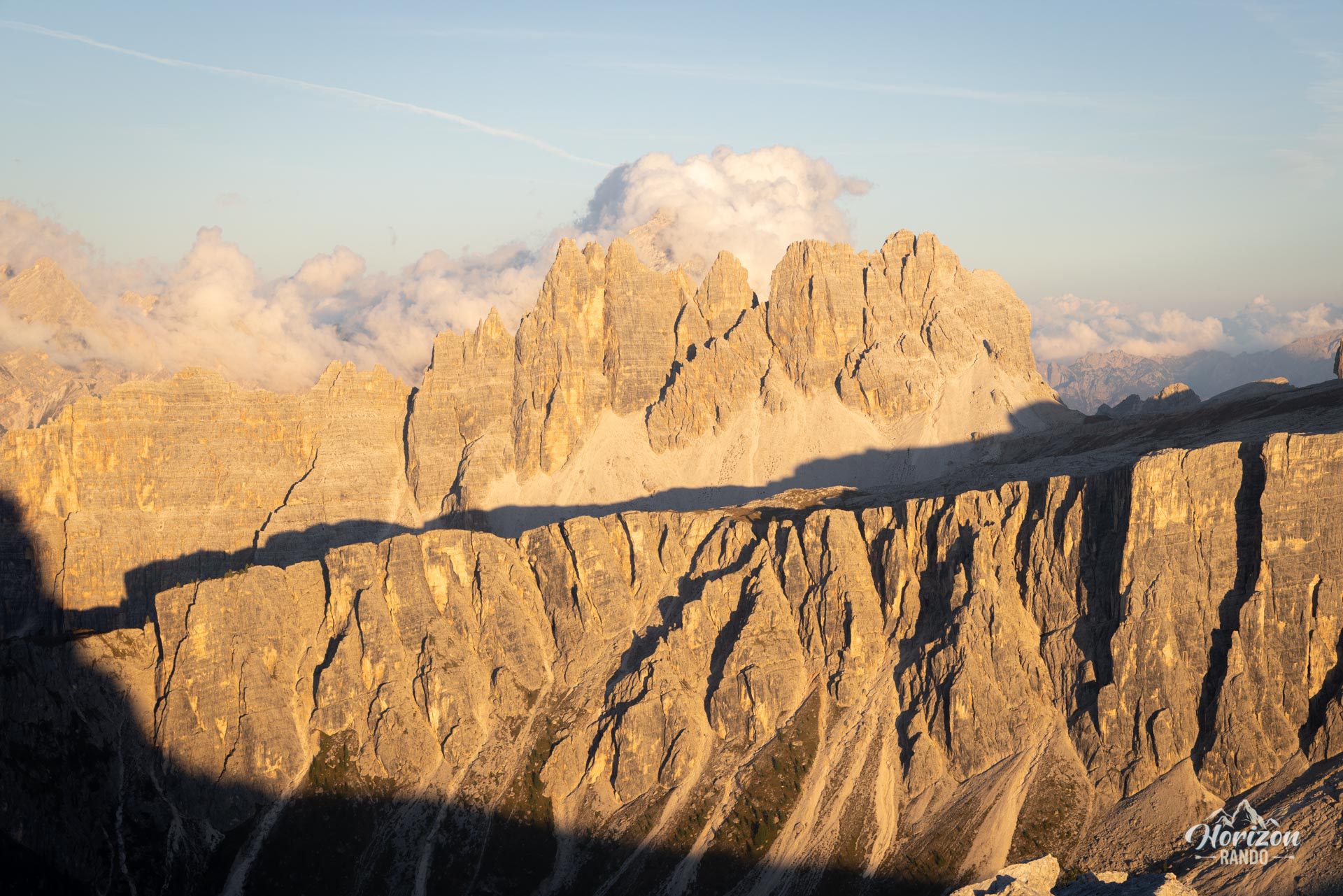
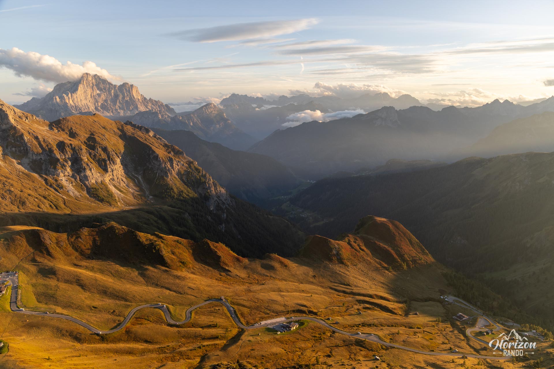
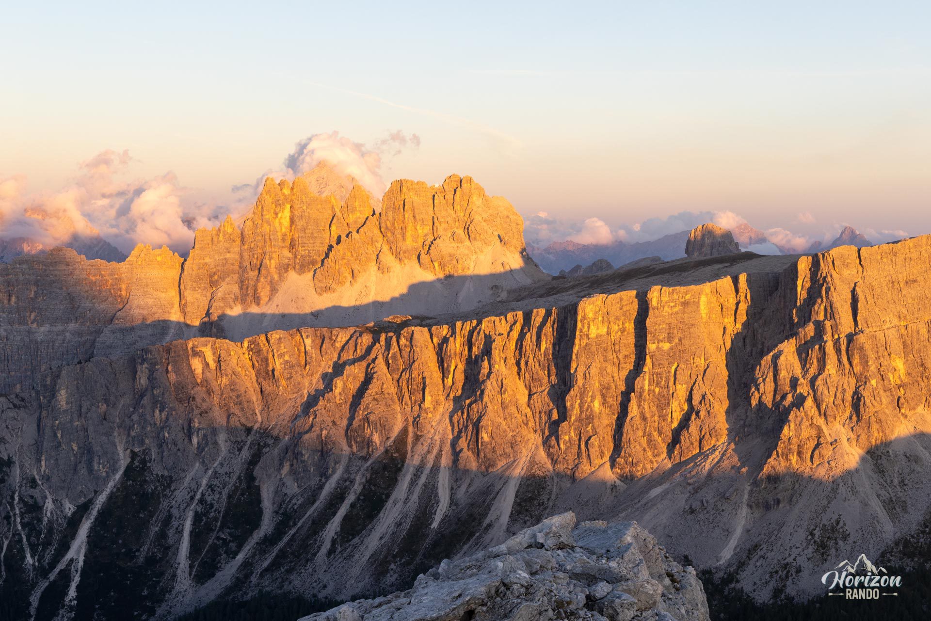
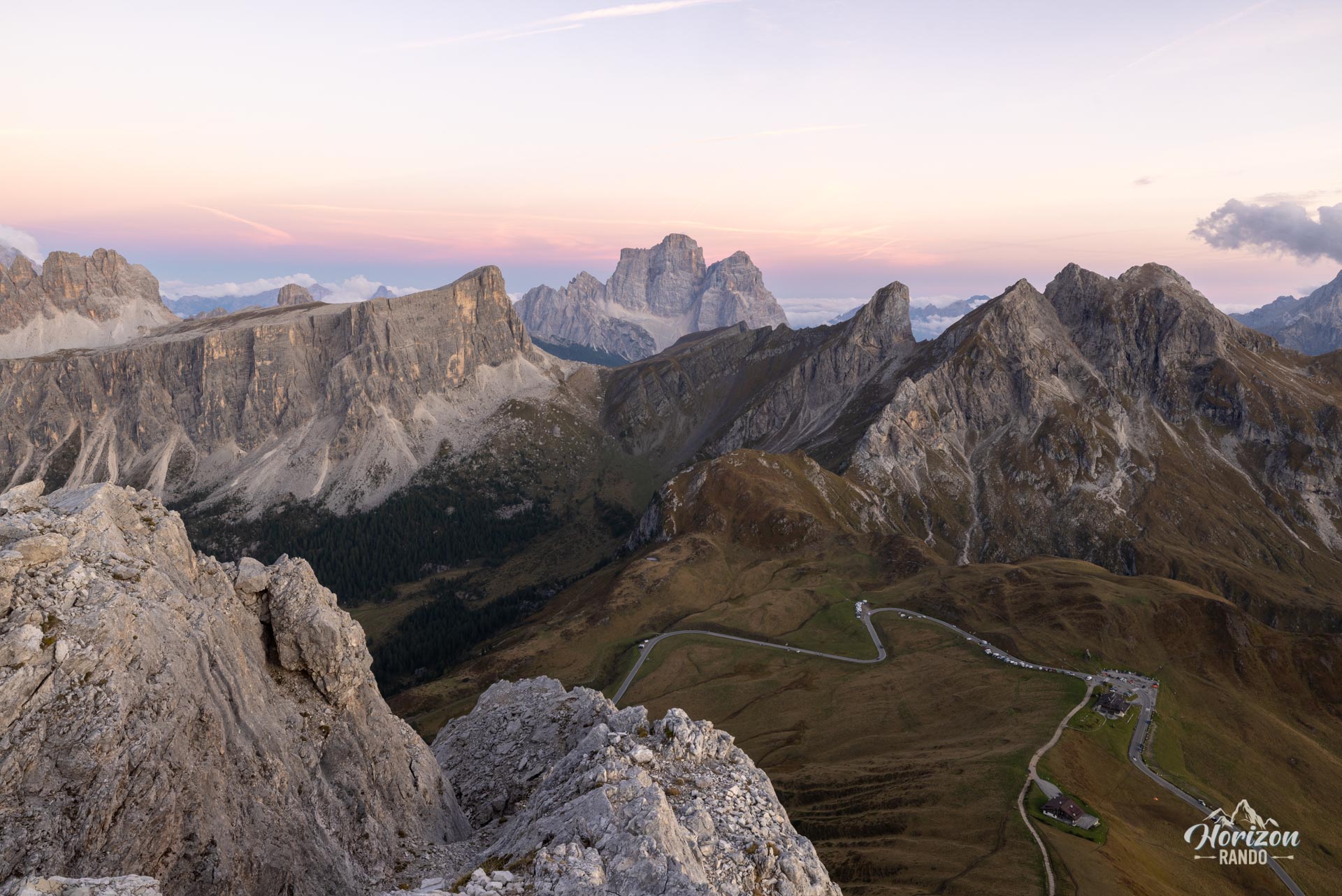
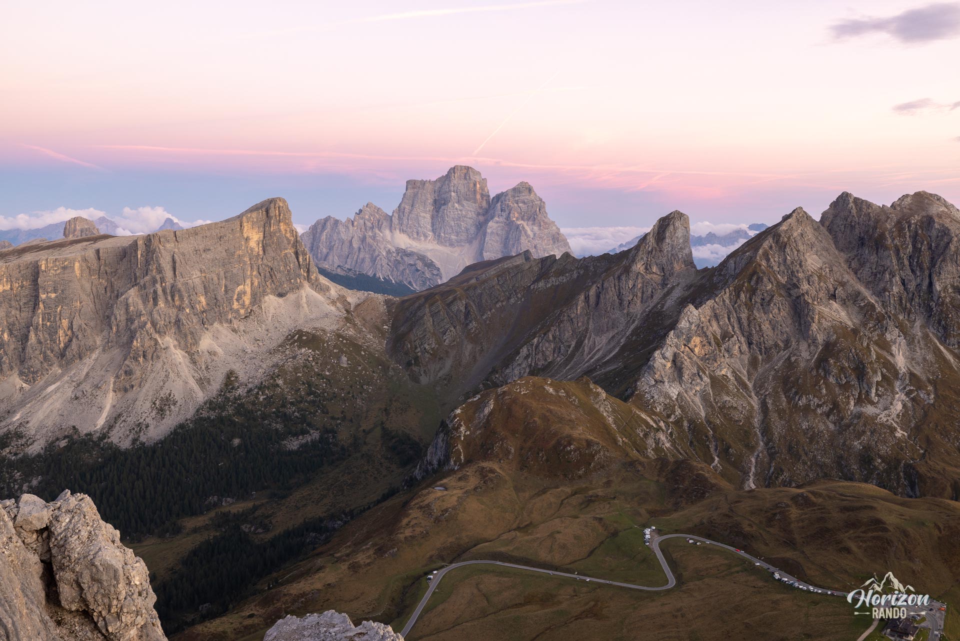
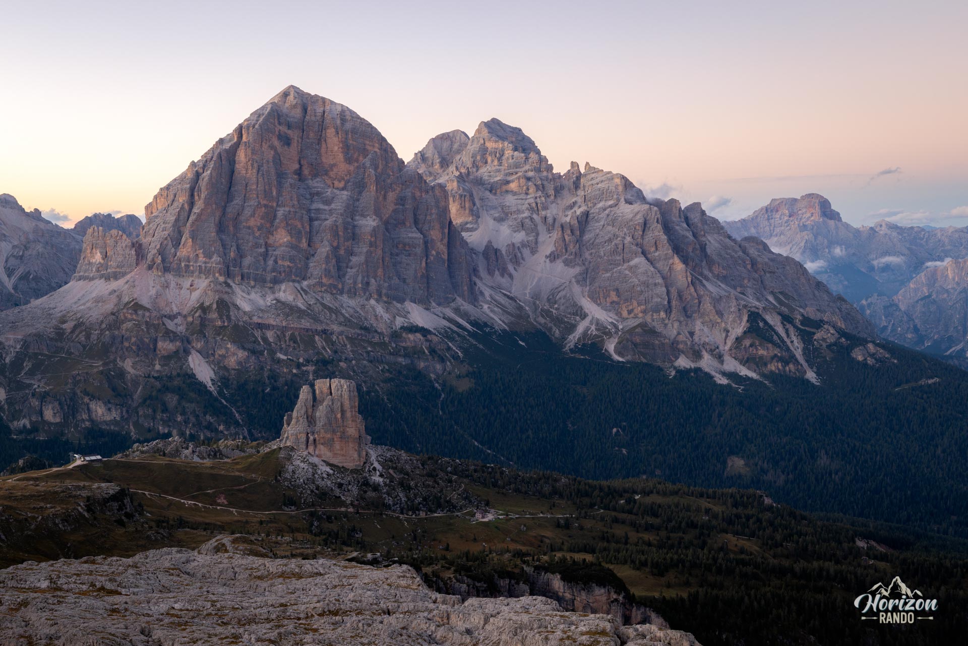
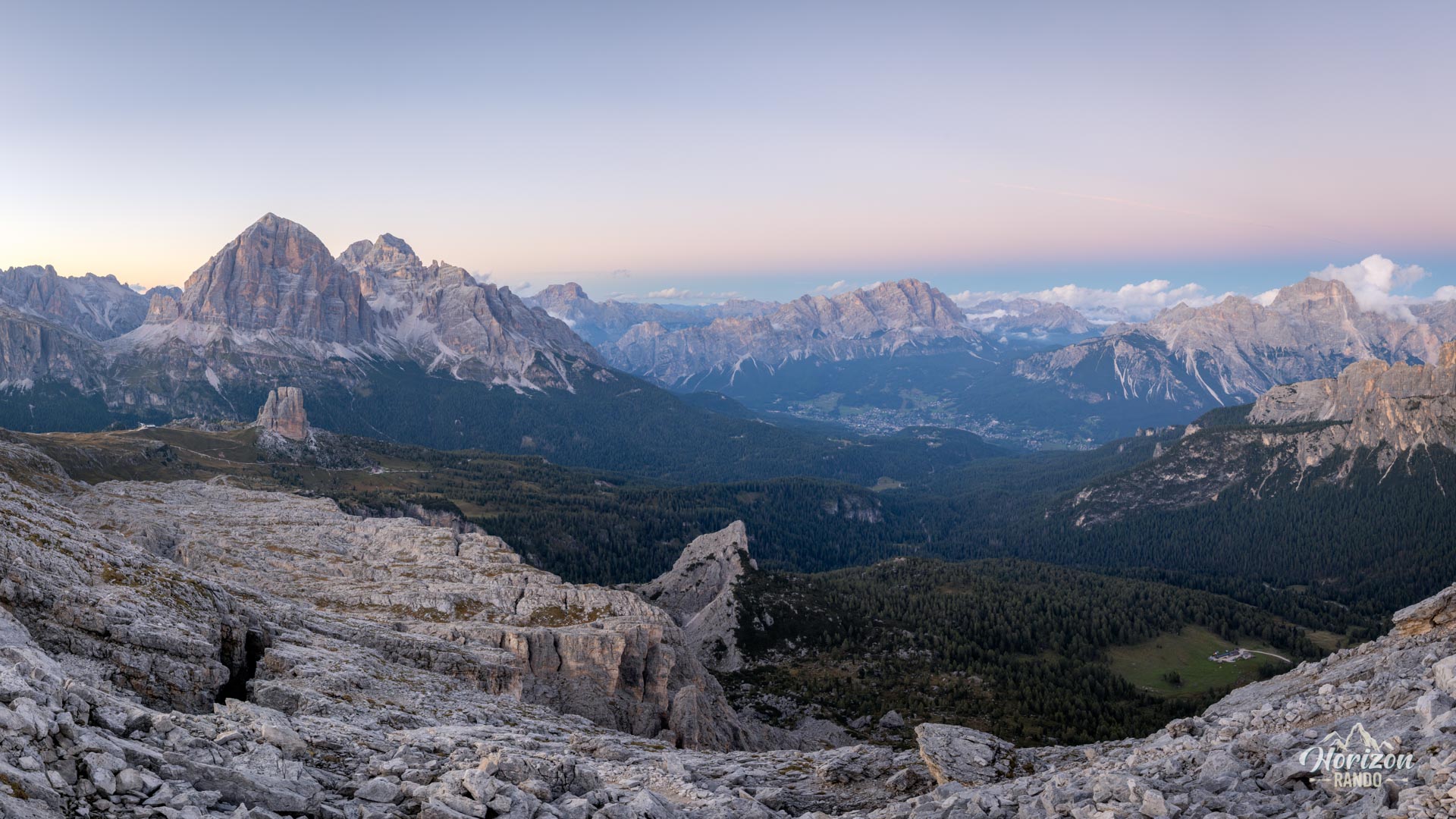
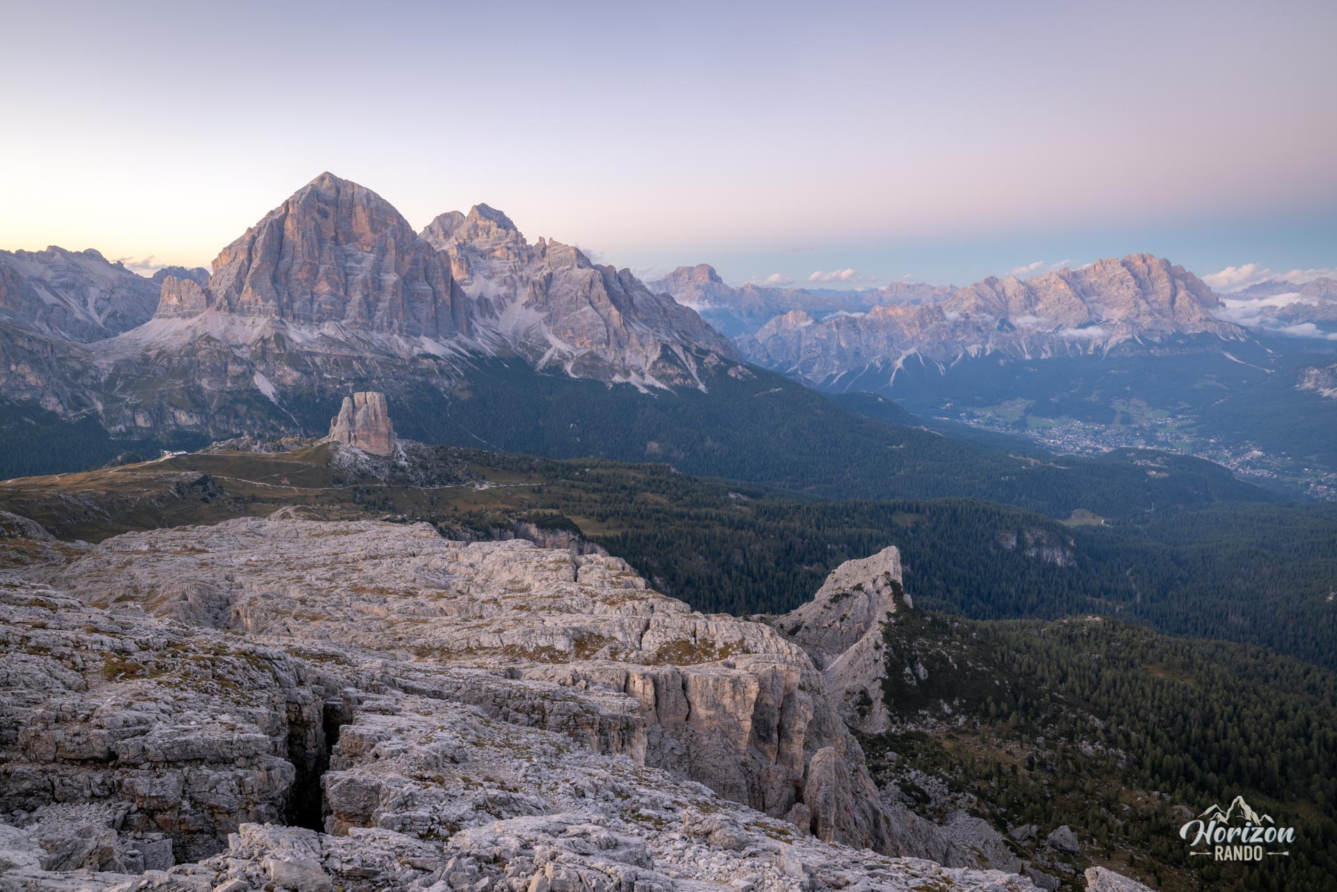
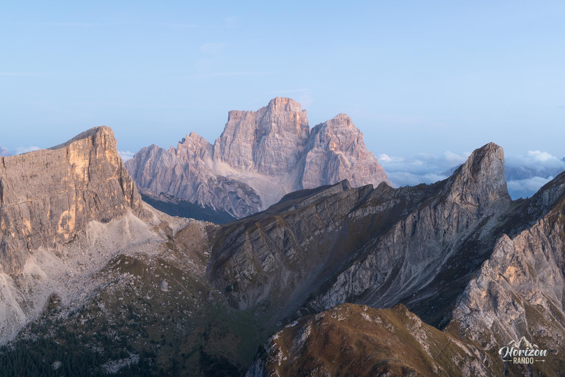
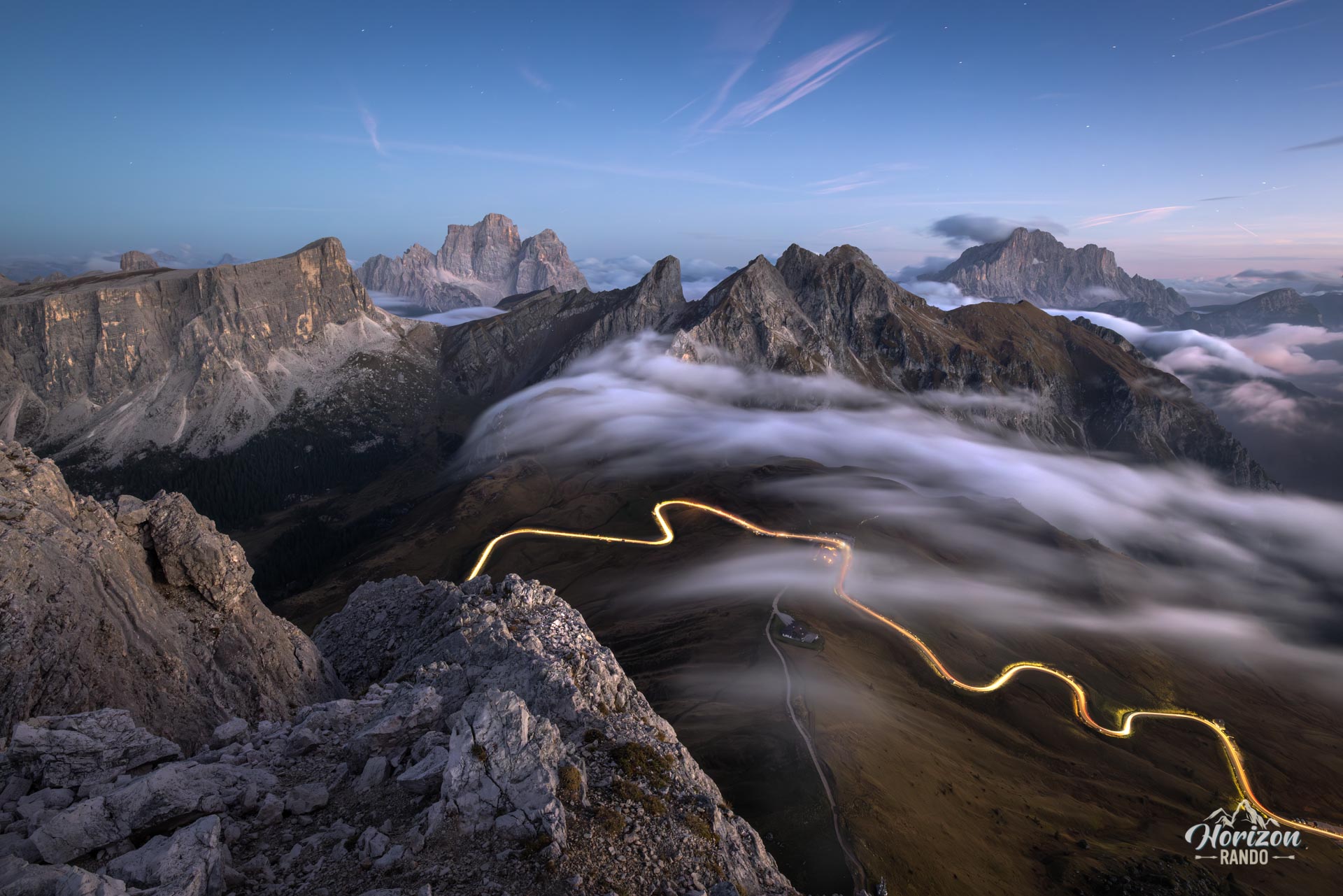
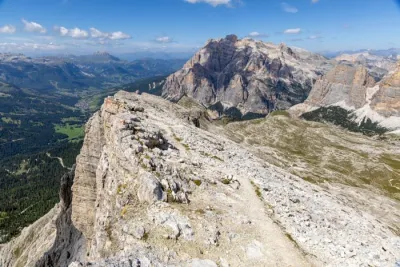
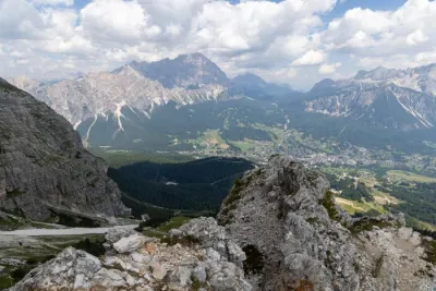
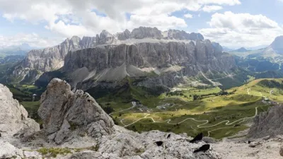
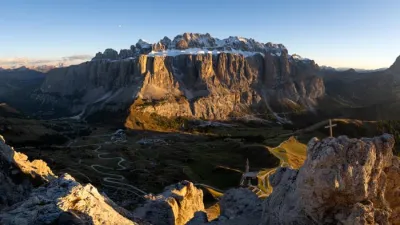
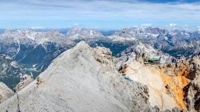
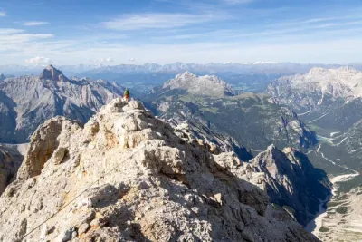
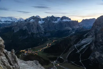
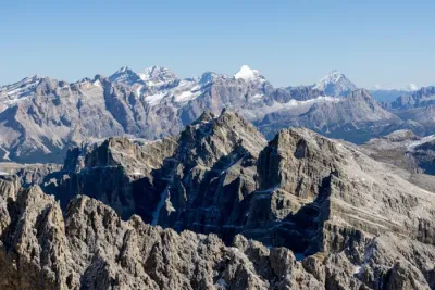
The Ra Gusela route from Passo Giau combines a beginner-friendly via ferrata with a traverse of two iconic peaks in the Nuvolau range. From the 2,595-meter summit of Ra Gusela, as well as from Rifugio Nuvolau, hikers can enjoy a 360-degree panorama encompassing most of the major peaks of the Dolomites, including Tofane, Cristallo, Sorapiss, Pelmo, Antelao, Civetta, and Marmolada.
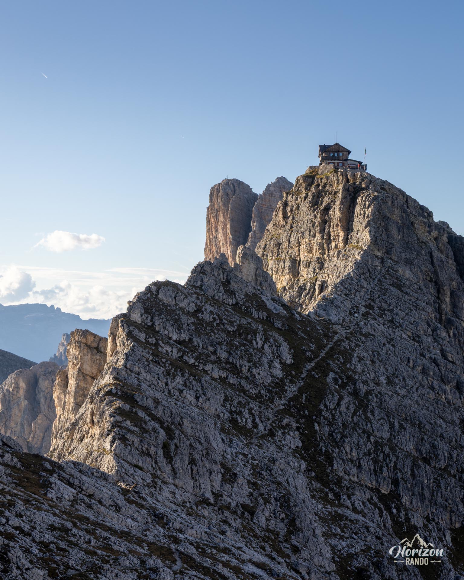
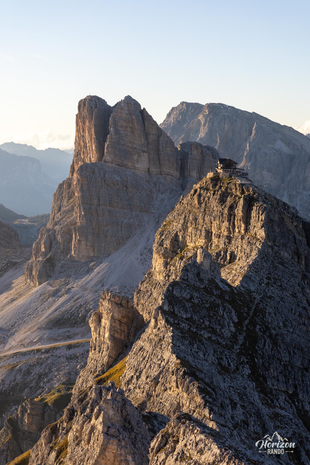
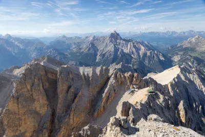
Perched atop Monte Nuvolau is the oldest refuge in the Dolomites, built in 1883, which occupies an impressive position right on the edge of the precipice. This short, accessible and spectacular loop packs the best of the Dolomites into just a few hours.
Map and elevation profile of the hike
Via Ferrata Ra Gusela
Description and difficulties of the hike
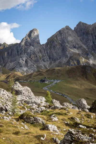
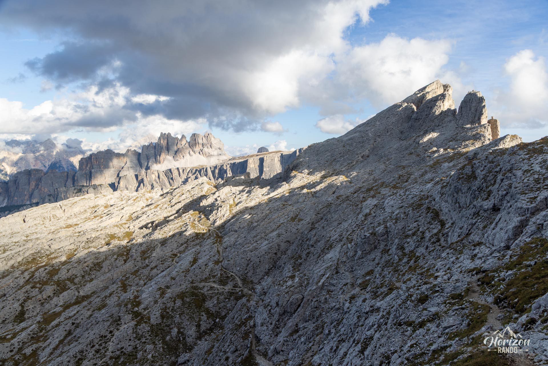
From the Passo Giau parking lot (2,236 m), take the wide trail heading north. In just five minutes, you'll reach the first junction, where you should keep right on trail no. 443 toward the Cinque Torri. Continue northeast to a well-marked fork, then take trail no. 438 to the left. This trail climbs in switchbacks toward the east face of Ra Gusela. About 45 minutes after setting out, you'll reach the first cable and the start of the via ferrata.
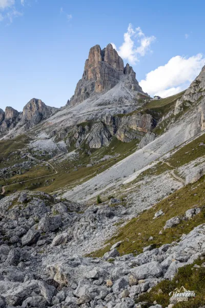
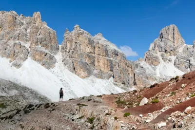
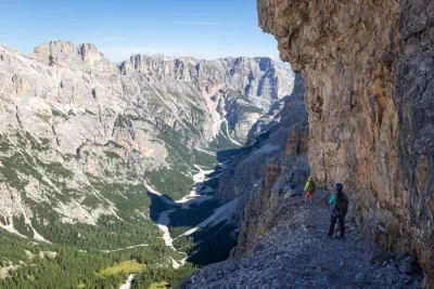
The via ferrata initially follows a wide ledge with a handline, presenting no particular difficulty. You will go around a ridge and find yourself beneath the eastern face of Ra Gusela, then climb into a chimney. After a few easy sections, you'll emerge onto a small plateau with an almost lunar landscape. From there, you can see Rifugio Nuvolau high above you and the summit of Ra Gusela to your left.
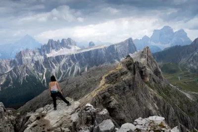
A thirty-minute round trip takes you to the summit of Ra Gusela (2,595 m) via an unmarked trail dotted with cairns — a highly recommended detour. Then, you return to the junction and reach Nuvolau via a final equipped section featuring ladders and slightly exposed rocky passages. There is no real difficulty.
The descent follows a standard hiking trail: you will reach Forcella Nuvolau and Rifugio Averau before returning to Passo Giau via trails 464 and 452 on a gentle downhill slope for about one hour and fifteen minutes.
What you'll love
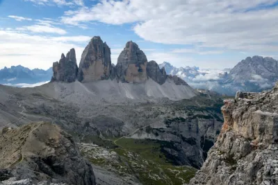
- The 360° panorama from the summits of Ra Gusela and Monte Nuvolau: Cinque Torri, Tofane, Croda da Lago, Marmolada, and Civetta — a spectacular overview of the great peaks of the Dolomites.
- Rifugio Nuvolau, the oldest mountain hut in the Dolomites, perched on the edge of a cliff — the perfect spot for a well-deserved break in a breathtaking setting.
- The ideal via ferrata for beginners: the cable sections are short and not very exposed, perfect for building confidence before tackling more challenging routes.
Practical information
Parking
Free spots are available along the road to Passo Giau, one of the region's most popular mountain passes. During peak season, these spots fill up quickly; plan to arrive before 8:00 a.m. to secure one.
Extension
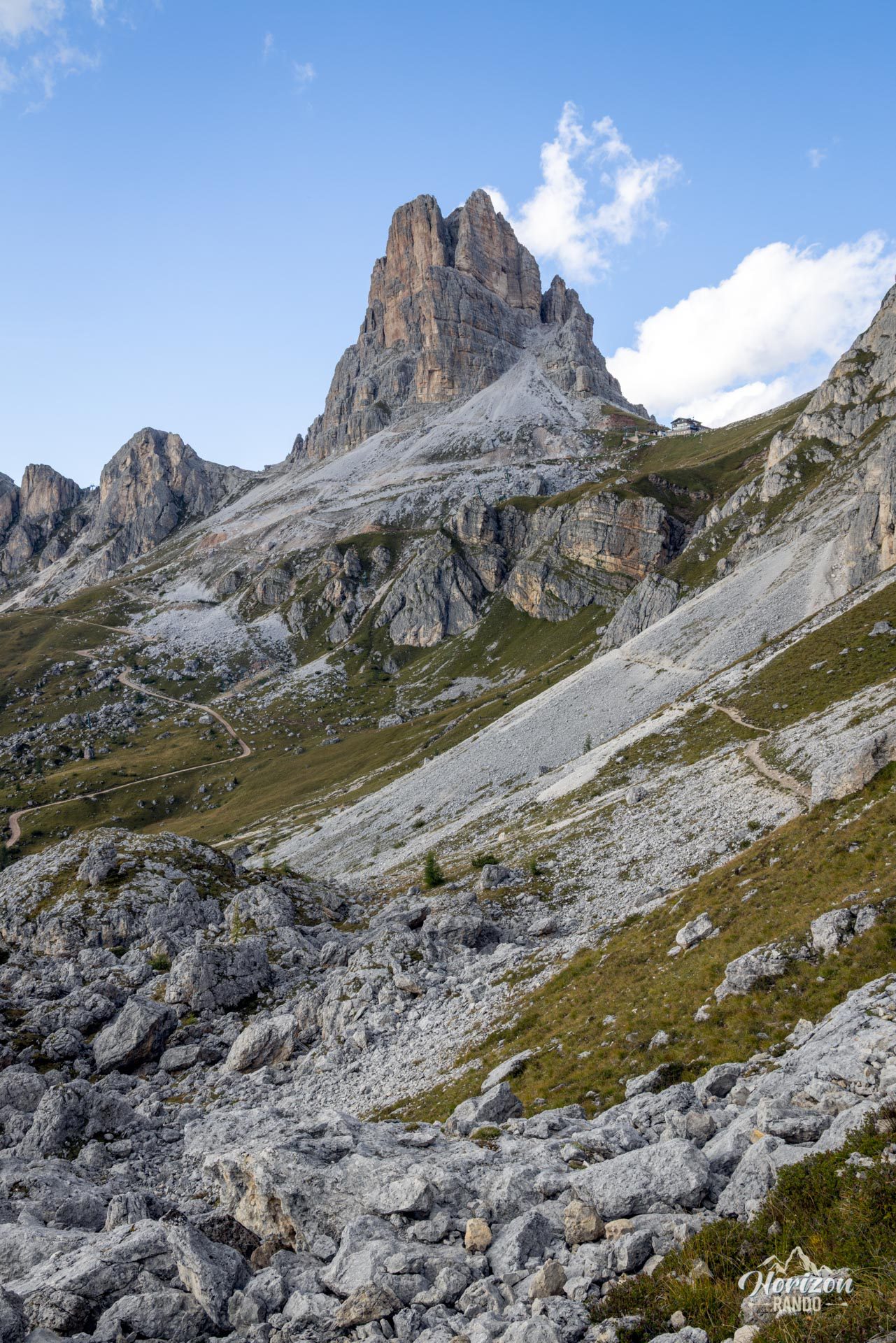
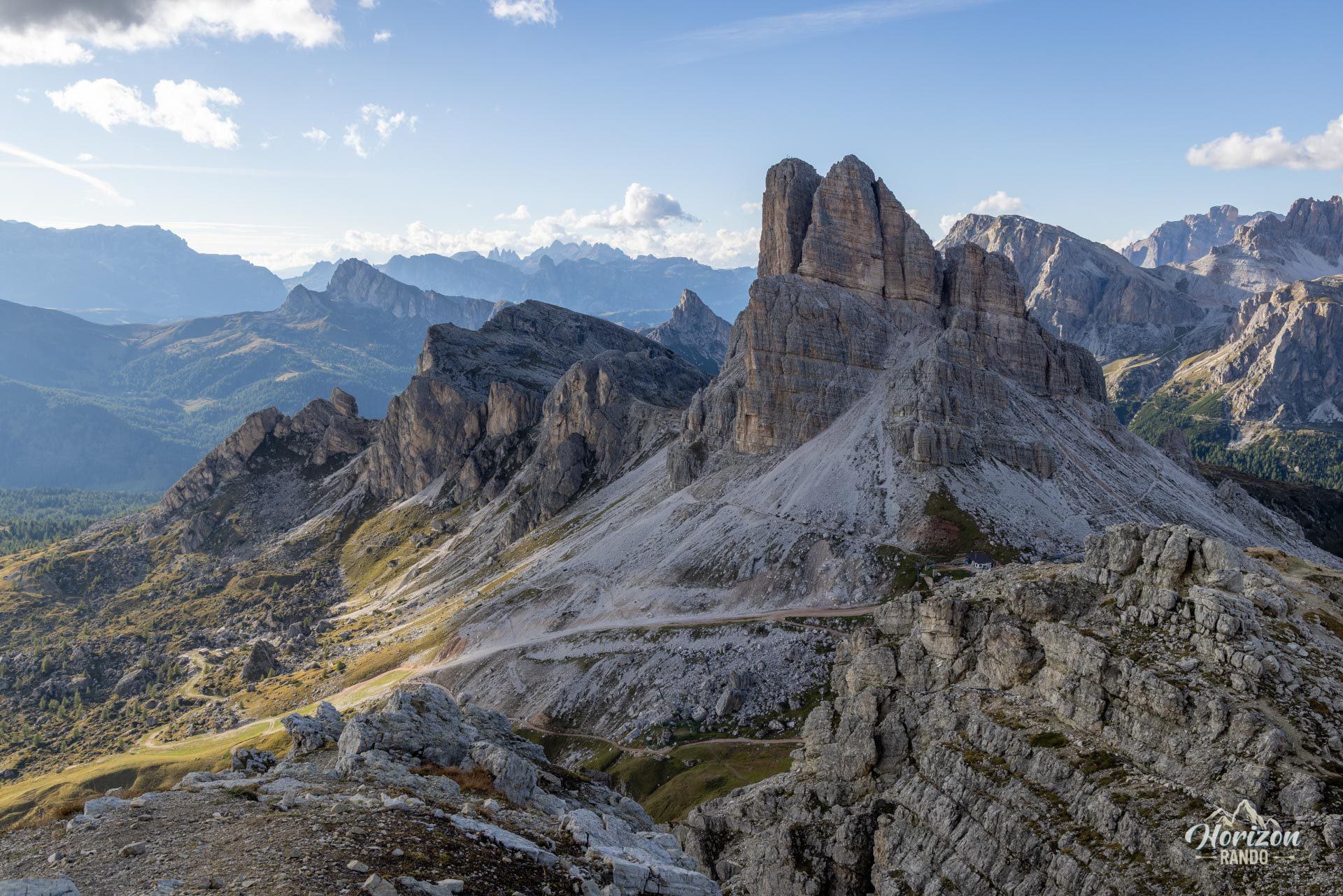
This route can be extended to the via ferrata Averau — the approach hike is complete upon arrival at Rifugio Averau. Plan for an additional hour and a half round trip to reach the summit of Monte Averau.
Please note
The equipped sections are very short (shown in purple on the map, between markers 1 and 2, and 4 and 5). This is primarily a hiking route; the via ferrata allows you to reach a summit that would otherwise be very difficult to access. View it as a bonus rather than a standalone activity.
Photos
See all 18 photos →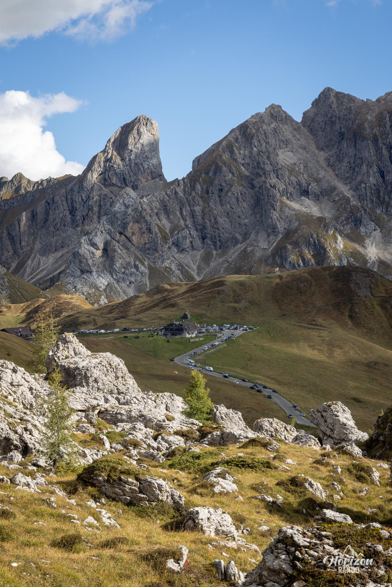
More hikes to do in the Dolomites
Nearby hikes
Printed from www.horizonrando.fr/en/hiking-dolomites/via-ferrata-ra-gusela/