





Via Ferrata Averau
Key facts about the hike
- Via ferrata difficulty
- A/B Via ferrata grades, from A (easy) to E (extremely difficult): my via ferrata scale
- Easy
- Duration
- 3h30 Estimated time, short breaks included (photos, water, snacks), picnic not included: how it is calculated
- Distance
- 8.4km
- out and back
- Elevation gain
- 580m
- Hiking difficulty
- Moderate
- Type of route
- Out and back
- Maximum altitude
- 2,648 m
- Vertiginous Five levels, depending on how exposed the route is: the levels in detail
- Moderately
- Marked
- Yes
- Popularity
- Moderate
- Start point
- 46.48255, 12.05369
- Activity
- Hiking and Via Ferrata
Hike overview
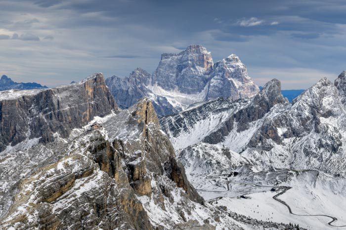
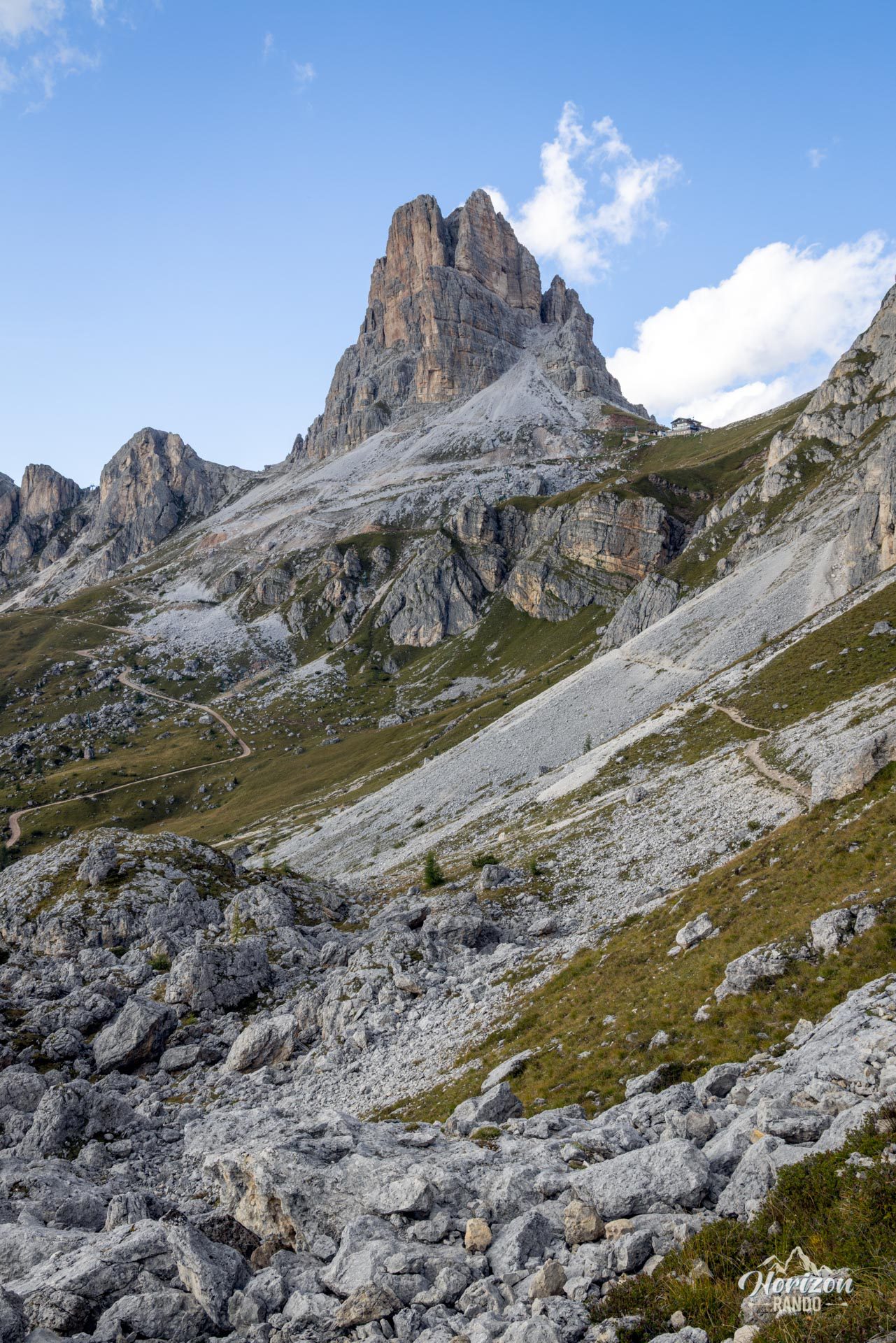
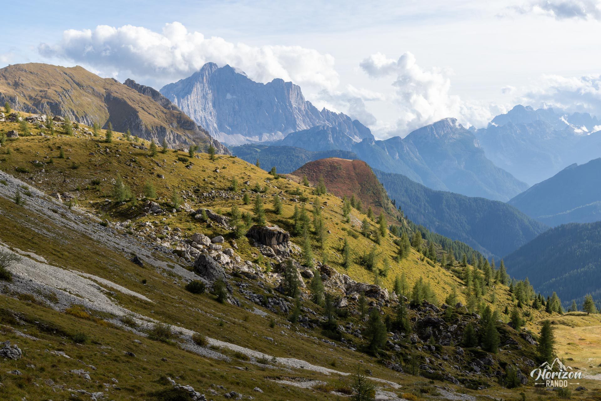
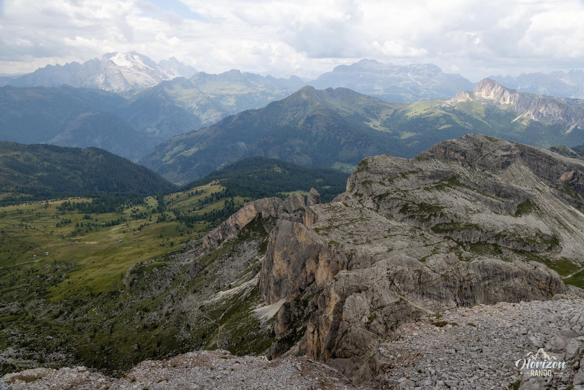
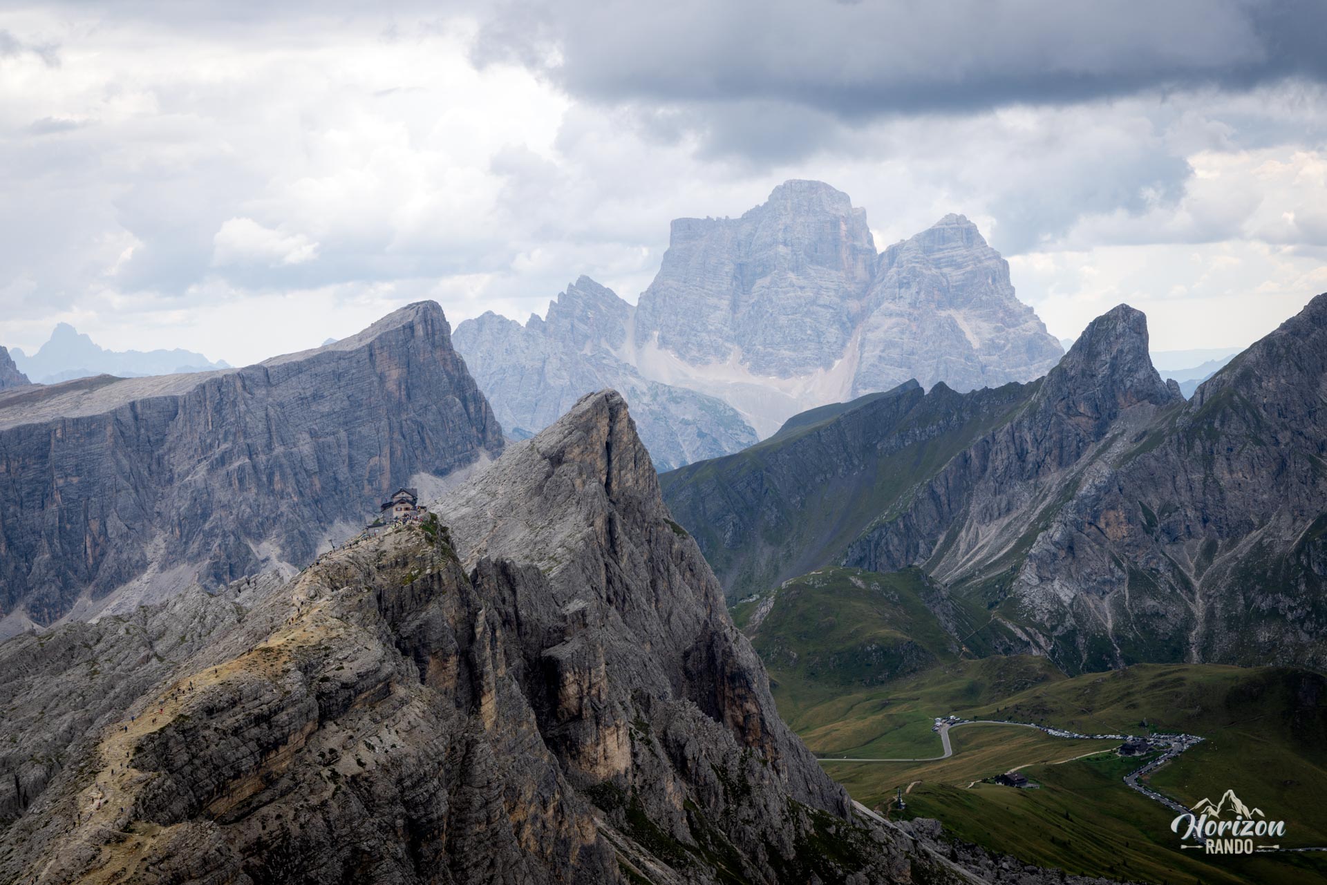
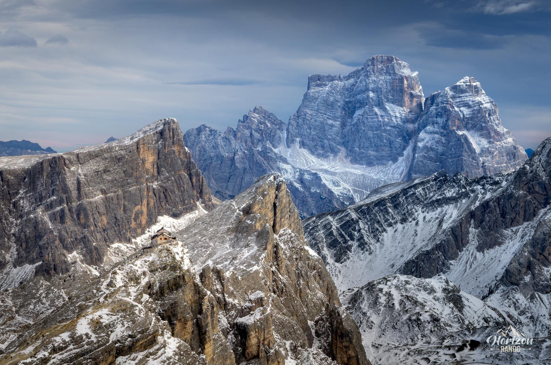
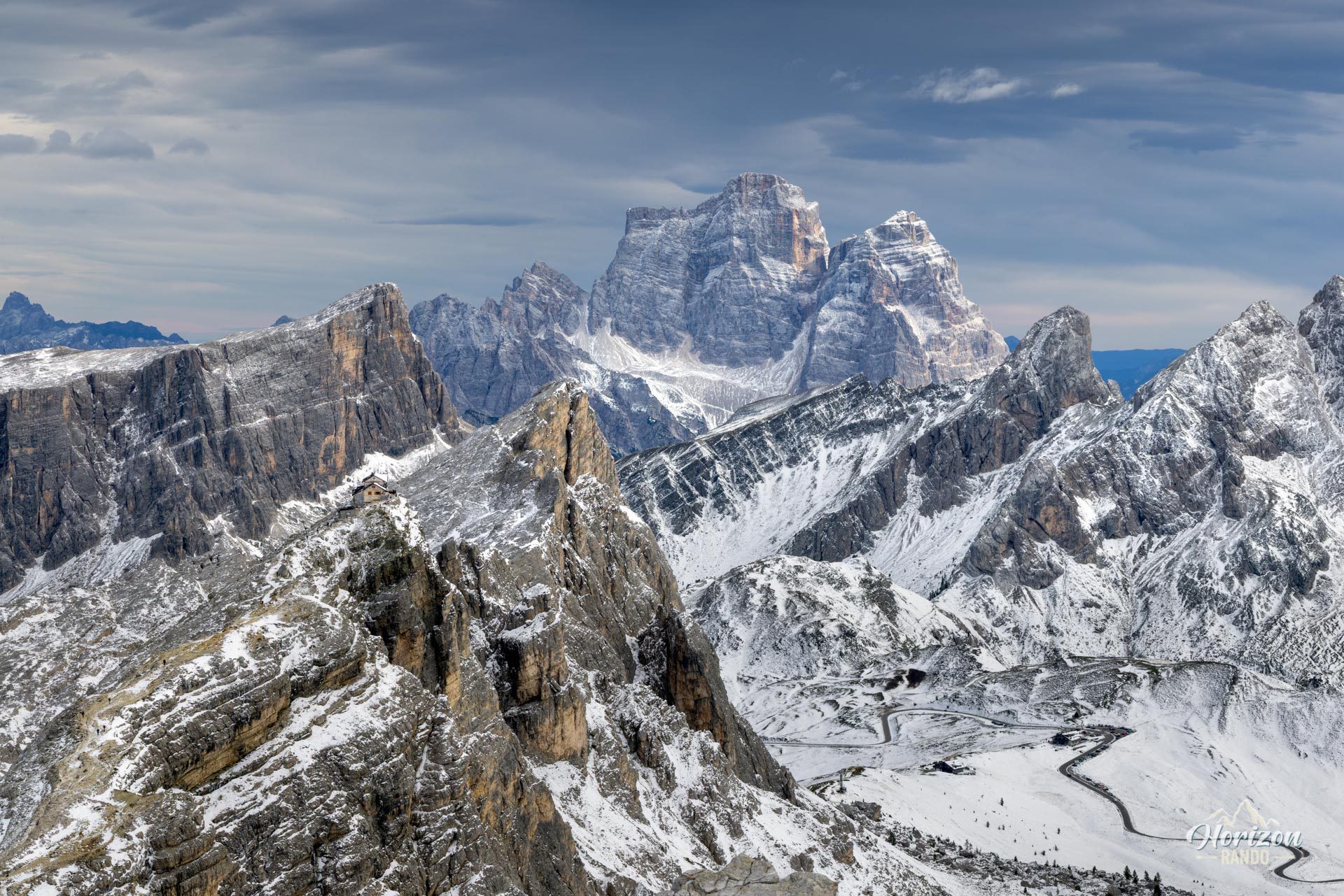
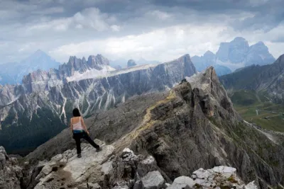
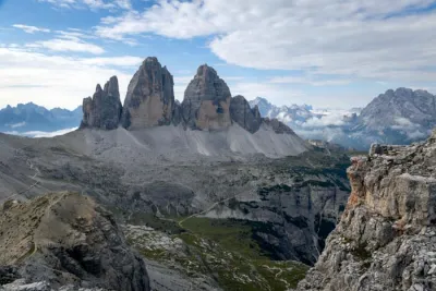
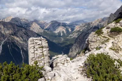
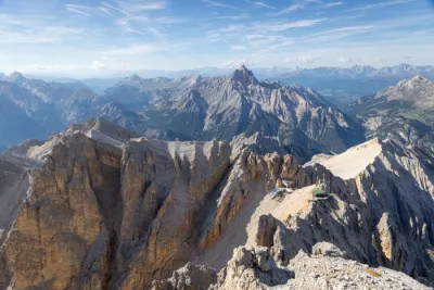
From Passo Giau (2,236 m), this hike leads to the summit of Monte Averau (2,648 m), the highest peak in the Nuvolau group, via a short A/B-rated via ferrata. The route combines a beautiful contour path approach facing the great Dolomite massifs — Civetta, Marmolada, and Tofane — with a short, enjoyable equipped section that offers access to an exceptional 360° panorama from the summit.
Map and elevation profile of the hike
Via Ferrata Averau
Description and difficulties of the hike
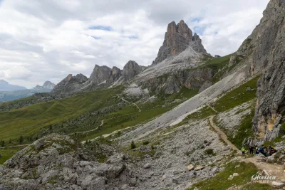
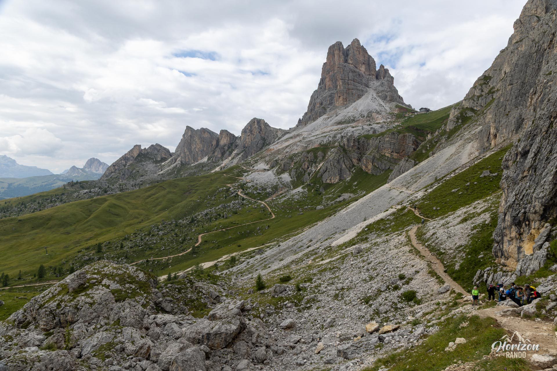
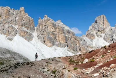
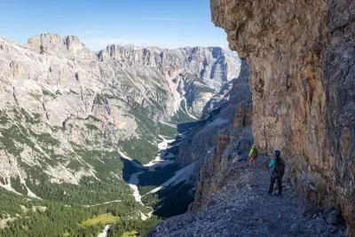
From Passo Giau, the route follows Trail 452 toward Forcella Nuvolau and Averau Hut (2,413 m). The first section follows a contour path: the terrain is straightforward, on a waymarked trail crossing the western slopes of Ra Gusela. The climb becomes significantly steeper in the final section before joining the wide Track 464 leading to the hut. Allow about one to one and a half hours for this approach.
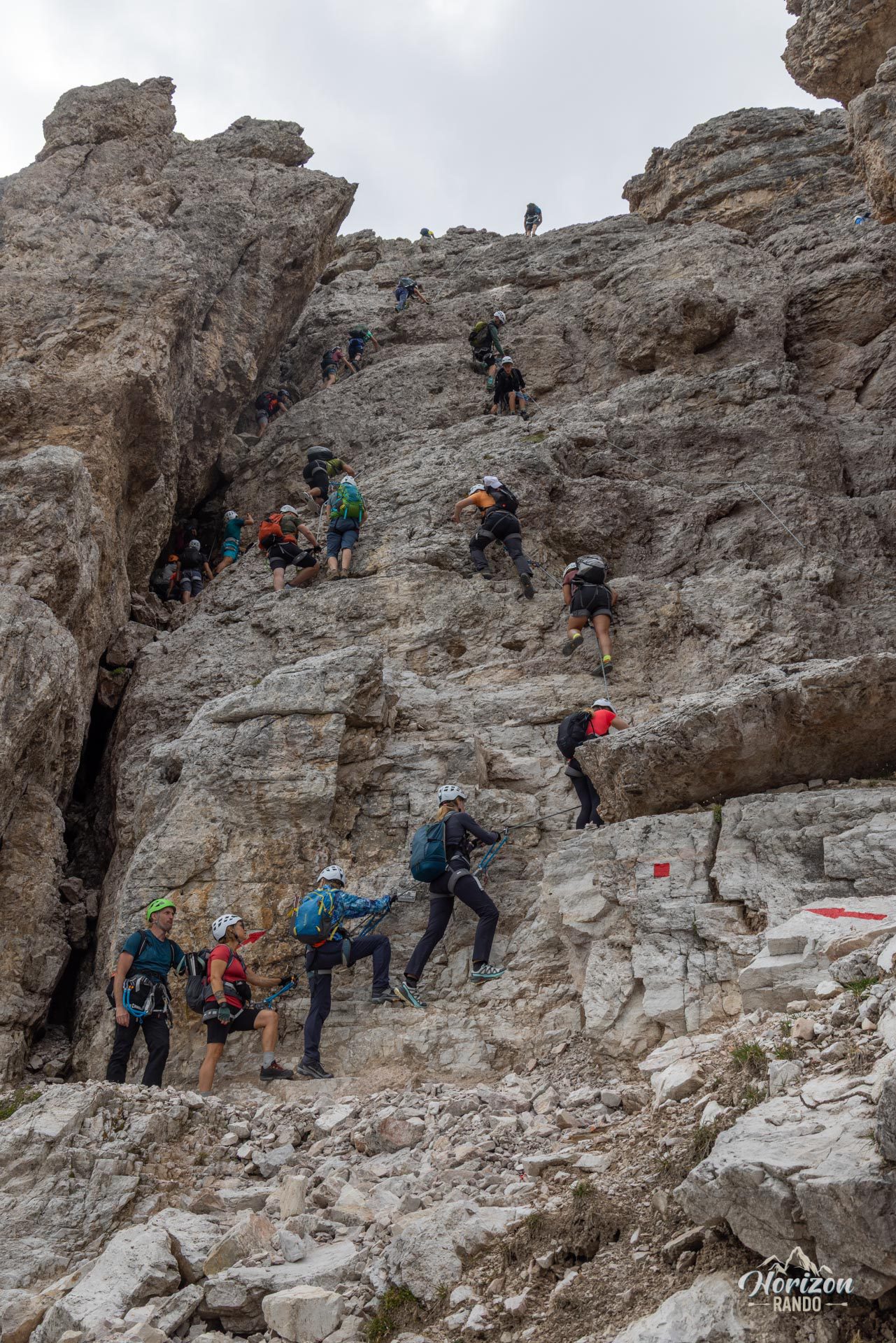
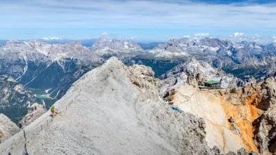
From the hut, a waymarked trail leads to the foot of the via ferrata on the northeast face of Averau in about 15 minutes. The equipped section covers only about 50 meters of elevation gain but is very steep and includes a few slightly technical sections.
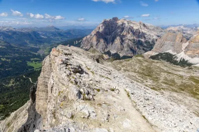
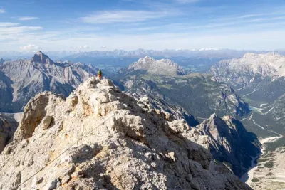
A short walk over scree and loose rocks leads to the summit cross in about 20 minutes. The descent follows the same route, which means going back down the via ferrata, always trickier than the ascent, especially on the smooth sections. Since 2024, the route has been split into two lanes (ascent on the left and descent on the right), which has significantly reduced the traffic jams that were previously common on this section.
What you'll love
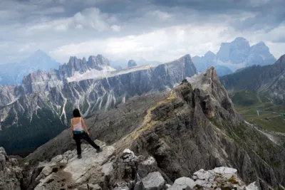
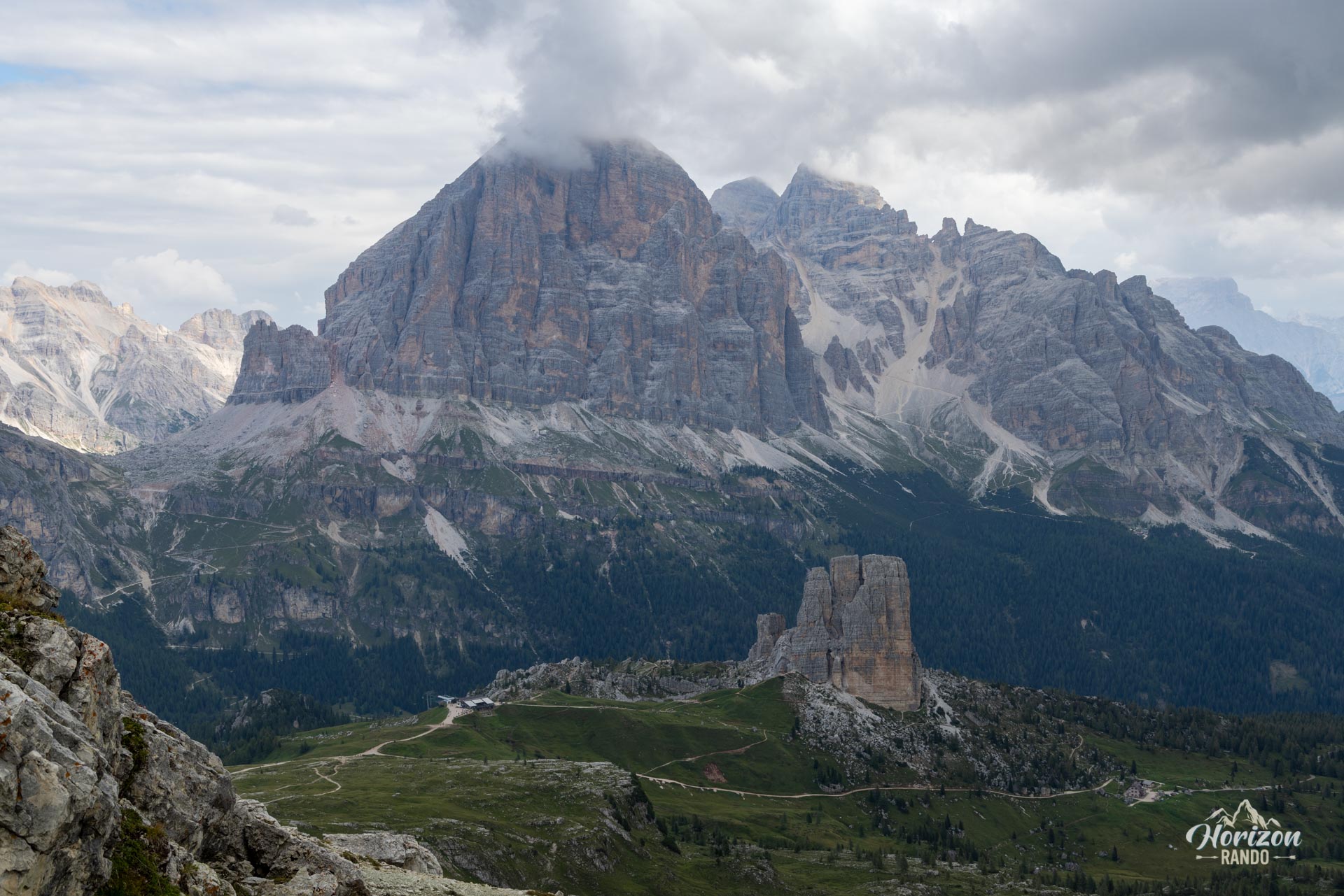
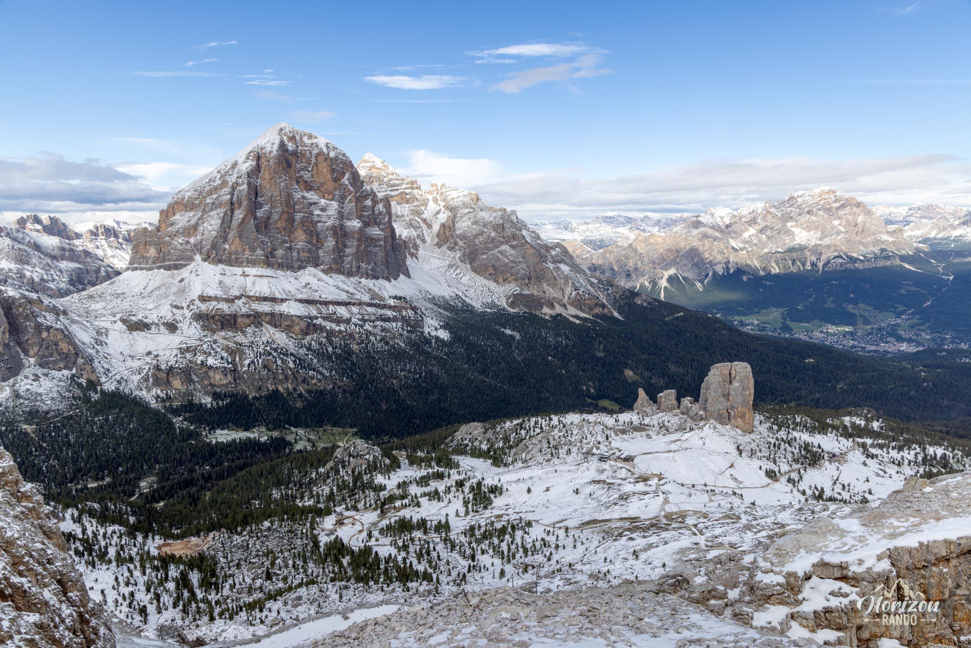
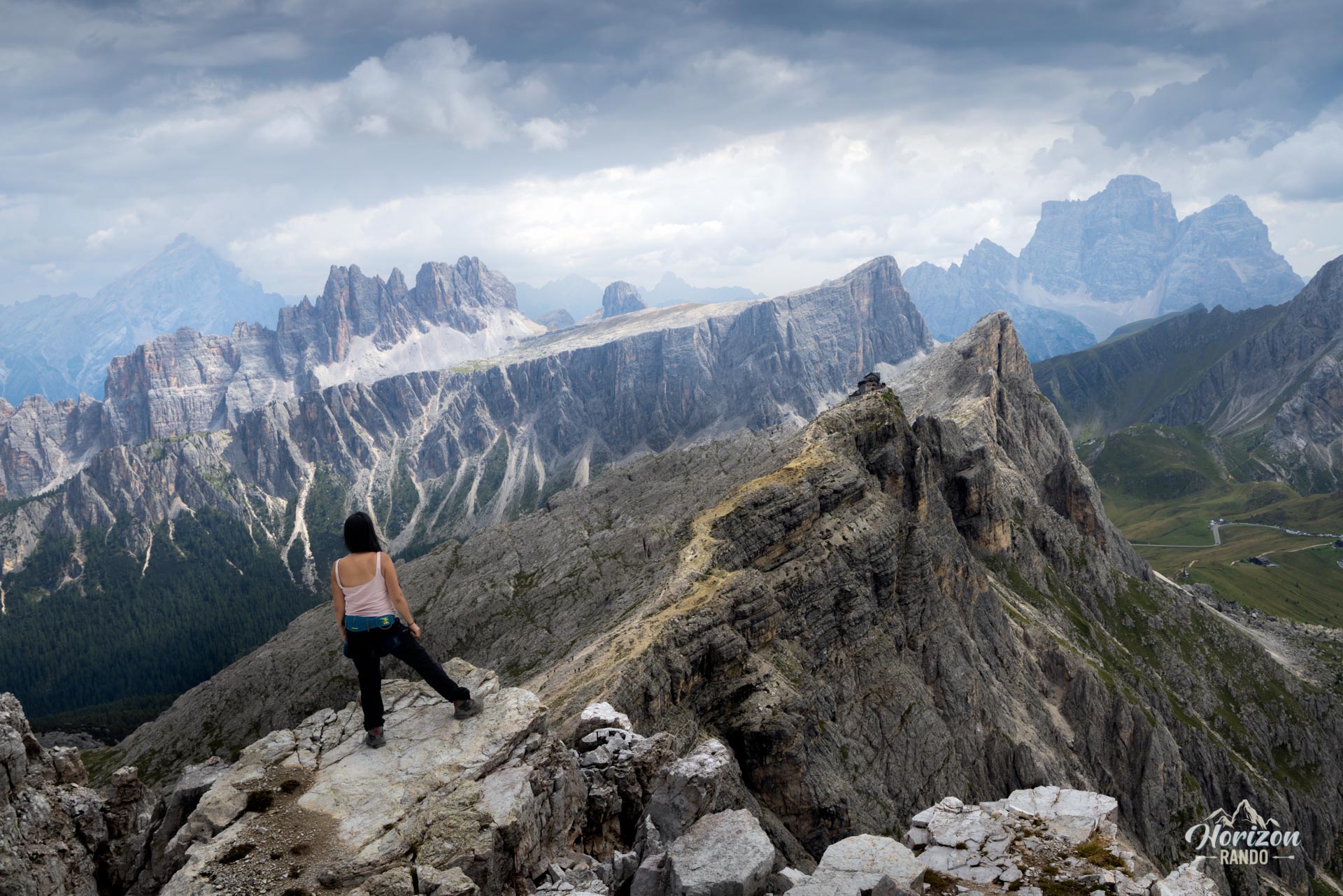
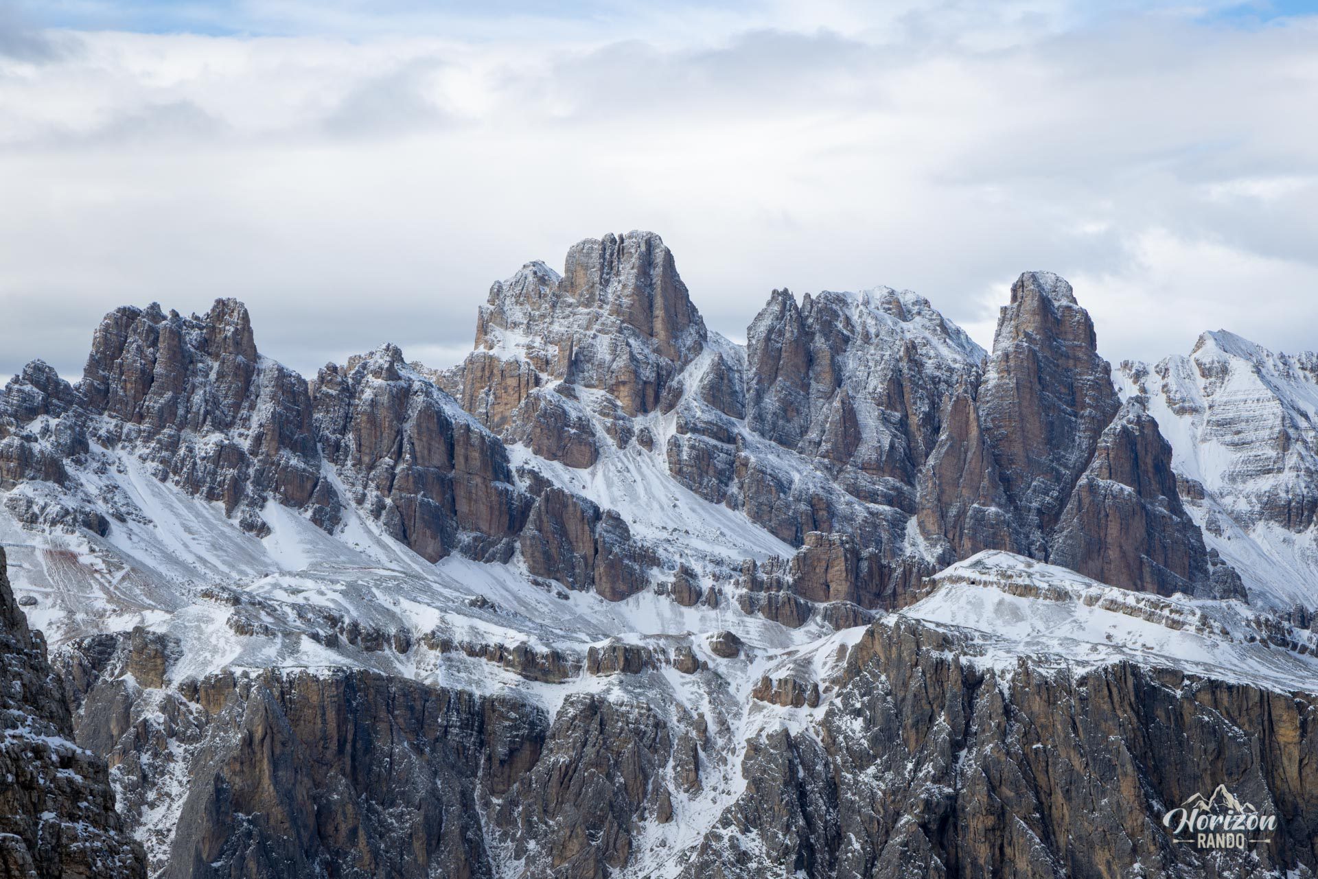
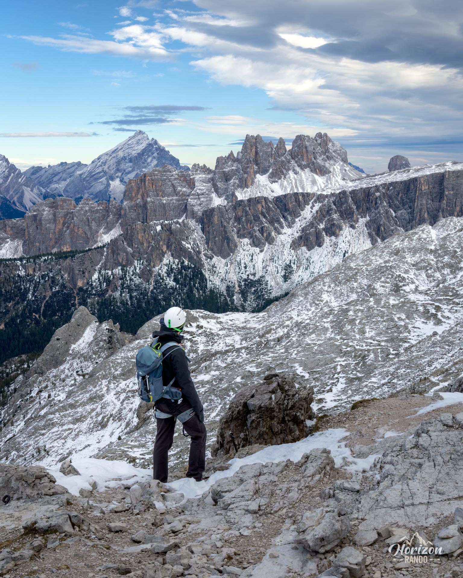
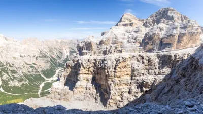
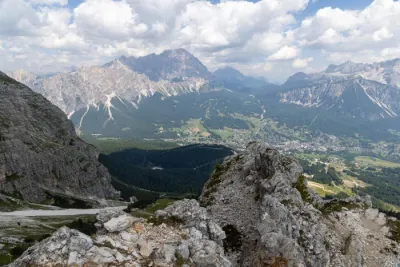
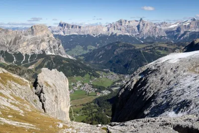
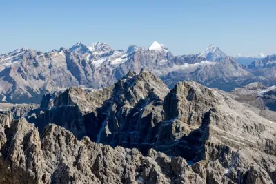
- The exceptional panorama at the summit: the view takes in many of the legendary peaks of the Dolomites, including Tofane, Cristallo, Croda da Lago, Cinque Torri, and Marmolada. In my opinion, it is one of the most beautiful viewpoints in the region.
- An ideal introduction to via ferrata: a short route that is perfectly equipped and steep enough to give you a real taste of the activity.
- The proximity of the mountain huts: the Averau Hut is located directly on the route, and the Nuvolau Hut is accessible via a short detour. It is highly recommended and offers dining in a spectacular high-mountain setting.
Practical information
Parking
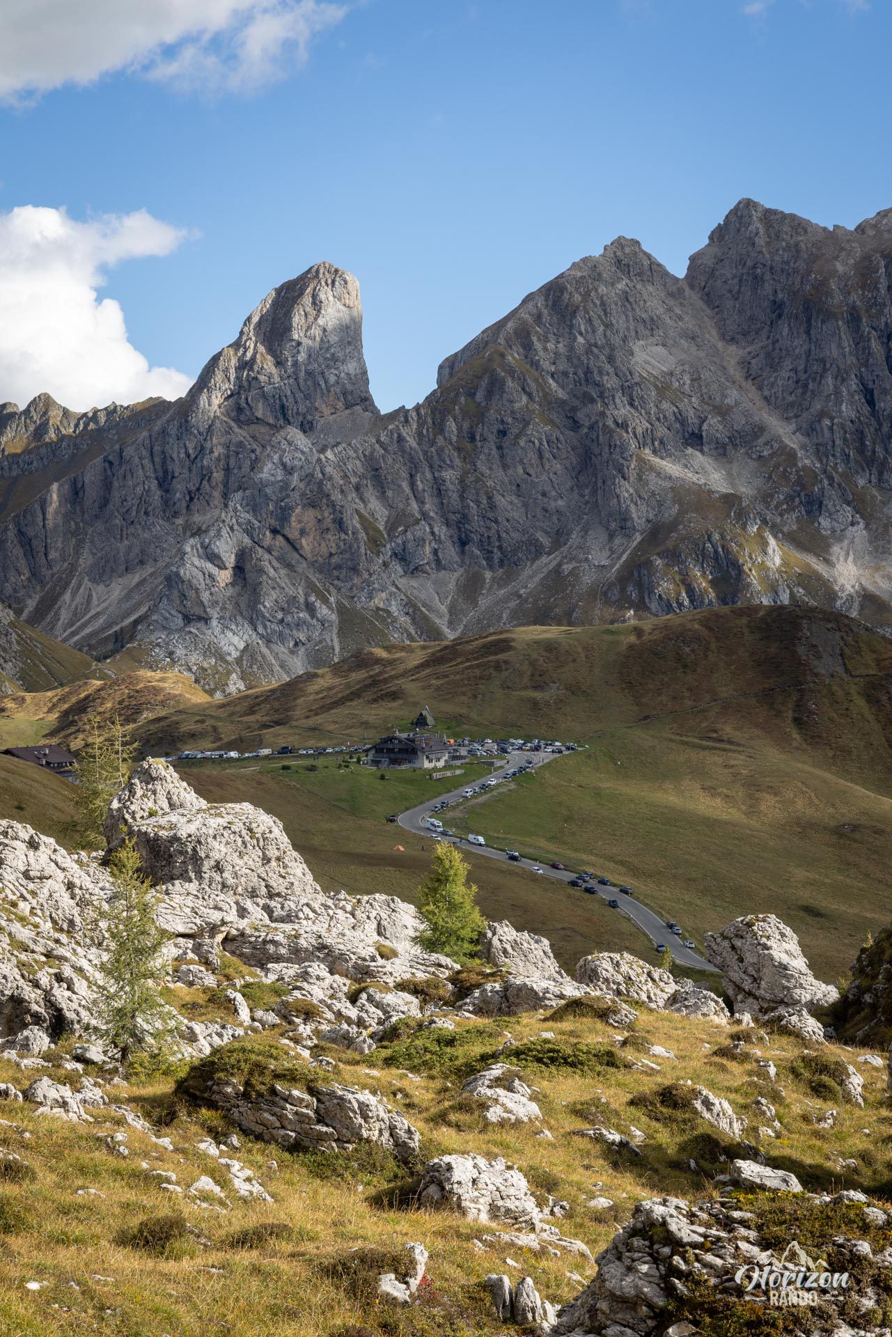
Free spaces are available along Passo Giau Road, one of the most popular mountain passes in the region. In high season, these spaces fill up quickly, so plan to arrive before 8:00 a.m. to find one.
Variant
The start of the via ferrata is accessible from several other points: from Passo Falzarego or the Col Gallina Hut, to the north, following the route of Lago Limides and Monte Nuvolau. You can also reach the base of the via ferrata via the Fedare chairlift, which connects the Fedare and Averau huts, to avoid the elevation gain of the initial approach.
Extension
The route naturally combines with the Ra Gusela via ferrata and the ascent to Nuvolau (2,574 m), forming a magnificent 4.5-hour loop starting from Passo Giau.
Please note
The equipped section is very short (shown in purple on the map between markers 2 and 3) and takes no more than fifteen minutes. This is primarily a hike; the via ferrata is enjoyable and allows you to reach a summit that would otherwise be inaccessible. Think of it as a bonus rather than a standalone activity.
Photos
See all 15 photos →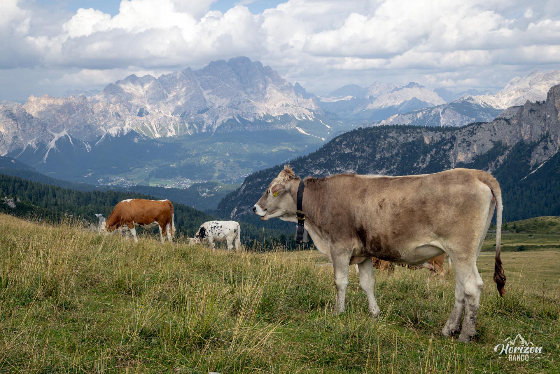
More hikes to do in the Dolomites
Nearby hikes
Printed from www.horizonrando.fr/en/hiking-dolomites/monte-averau-via-ferrata/