
Saksa Hike
Hike overview
Conquer Mount Saksa, the iconic peak of the Sunnmøre Alps, renowned for offering one of the most breathtaking views of the majestic Hjørundfjord. Starting from the village of Urke, this challenging hike is an unforgettable immersion into the heart of Norway's most spectacular fjord landscapes.
Remarks
Best time of year to hike: From mid-June to September, on average. See the Norway FAQ for more details.
Parking: There is a car park for hikers in Urke, just a stone's throw from the trailhead. Price in 2025: NOK 50.
Description and difficulties of the hike
As is often the case in Norway, the route starts at sea level. It climbs through a pine forest, then birch trees, before gradually opening up at an altitude of around 400 to 500 meters, roughly halfway through the hike.
Get ready for a vertical challenge! The climb is demanding with 1,000 meters of elevation gain over just 3 kilometers. The slope gets steeper the higher you go, especially on the scree during the final section.
Fortunately, the trail is clearly defined and several sections have beautifully built stone steps crafted by Sherpa artisans from Nepal. This remarkable work makes negociating the most technical sections easier.
Though the trail is not marked, the path is generally easy to see and there are few intersections, so navigation is fairly simple in good weather. However, since the weather in Norway is notoriously changeable, it is essential to carry reliable navigation tools as fog and low clouds can arise very quickly.
What you'll love
- A dazzling 360° panorama: The undisputed highlight of this hike! From the summit, you can enjoy a bird's-eye view of the Hjørundfjord and the surrounding peaks, one of the most spectacular in Norway.
- The Hjørundfjord from every angle: Saksa's unique position allows you to take in the Hjørundfjord as it majestically branches in several directions.
- Very reasonable hiker numbers: Although Mount Saksa is widely appreciated by Norwegians, it is still relatively unknown to international hikers. You can therefore enjoy the beauty of the area without the crowds.
Hike technical sheet
➡️ Hiking parameters
➡️ Hiking parameters
➡️ Hiking parameters
Map and elevation profile of the hike
Slideshow


Nearby hikes

Urkeegga Ridge Hike
- Difficulty : Hard
- Duration : 5 h 30
- Distance : 10.3 km
- Elevation gain : 960 m

Slogen Hike
- Difficulty : Very Hard
- Duration : 7 h 30
- Distance : 7.6 km
- Elevation gain : 1500 m

Sætrenibba Hike
- Difficulty : Moderate
- Duration : 2 h 30
- Distance : 5.9 km
- Elevation gain : 540 m

Lievarden Hike
- Difficulty : Easy
- Duration : 2 h 15
- Distance : 5.1 km
- Elevation gain : 440 m
Map of the 10 closest hikes
Hikes to discover
Let chance guide your steps: discover a random selection of the best hikes in Norway.
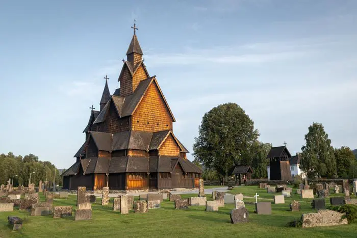
Église de Heddal

Hesten Hike
- Difficulty : Moderate
- Duration : 3 h 15
- Distance : 4 km
- Elevation gain : 490 m

Hermannsdalstinden Hike
- Difficulty : Very Hard
- Duration : 10 h
- Distance : 21.2 km
- Elevation gain : 1810 m

Helvetestinden Hike
- Difficulty : Hard
- Duration : 4 h
- Distance : 8.6 km
- Elevation gain : 610 m

Helgehornet Hike
- Difficulty : Easy
- Duration : 1 h 45
- Distance : 4.1 km
- Elevation gain : 370 m

Munken Hike
- Difficulty : Hard
- Duration : 5 h 30
- Distance : 13 km
- Elevation gain : 1030 m