
Dettifoss West Hike
Hike overview
The Dettifoss waterfall is fed by the Jökulsá á Fjöllum glacial river, which flows down from Vatnajökull, the largest glacier in Europe.
It is extremely powerful and the second most powerful waterfall in Europe, with an average flow of 500 m³/s in the summer. The deafening roar of the waterfall and the spray create an atmosphere that leaves no one indifferent. The falls are 100 meters wide and 44 meters high.
This walk offers several impressive views of Dettifoss, including a viewpoint very close to the top of the waterfall. The trail then follows the river to the magnificent Selfoss waterfall, which is less photogenic from this side than from the east.
Remarks
East Bank or West Bank: You will have to choose whether to explore the west or east side of Dettifoss Falls. There is no bridge connecting the two sides, so traveling between them requires more than a 80-kilometer road trip.
The east side is significantly less touristy because it is only accessible via a gravel road. However, this road is passable with any vehicle. Additionally, the view of Selfoss Falls is much more impressive from the east side. If you don't mind rough roads, I recommend choosing the east side for your visit.
Difficulties of the hike
The hike is well-marked, easy, with no significant elevation gain, making it accessible to most people.
The trail crosses volcanic terrain characteristic of the region, consisting of black basalt, pebbles, and rock formations from ancient lava flows.
What you'll love
- The raw power of Dettifoss: Witness the mesmerizing spectacle of tons of water pouring down with a low rumble and creating a permanent cloud of spray.
- Multiple viewpoints: Explore the various platforms that allow you to admire the waterfall from different angles. Each viewpoint reveals a unique perspective.
- A spectacular lunar landscape: Walk through a gray and black volcanic landscape typical of Iceland's highlands, which enhances the site's dramatic character.
- Accessibility: Enjoy this exceptional natural site without expending significant physical effort thanks to the short, easy trail from Route 862.
Hike technical sheet
➡️ Hiking parameters
➡️ Hiking parameters
➡️ Hiking parameters
Map and elevation profile of the hike
Slideshow


Nearby hikes


Map of the 10 closest hikes
Hikes to discover
Let chance guide your steps: discover a random selection of the best hikes in Iceland.

Hvannárgil Hike
- Difficulty : Easy
- Duration : 2 h
- Distance : 4.9 km
- Elevation gain : 380 m
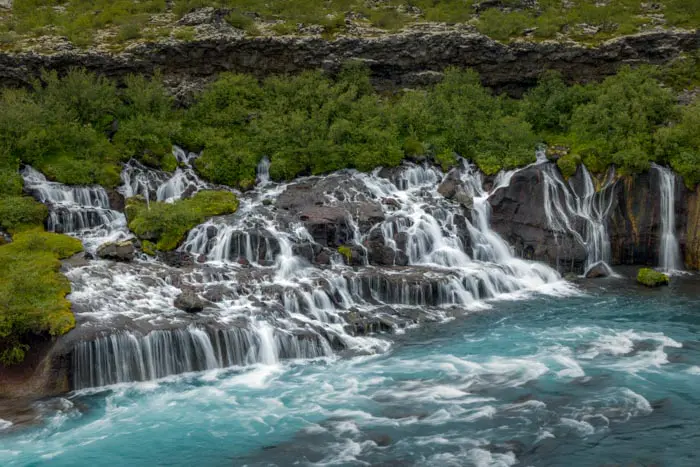
Hraunfossar

Grænihryggur Hike
- Difficulty : Hard
- Duration : 6 h 30
- Distance : 15.7 km
- Elevation gain : 910 m

Móði and Magni Craters Hike
- Difficulty : Hard
- Duration : 7 h
- Distance : 16.2 km
- Elevation gain : 1100 m

Hveradalir Geothermal Area Hike
- Difficulty : Easy
- Duration : 2 h
- Distance : 4.3 km
- Elevation gain : 320 m

Bláhnúkur and Brennisteinsalda Hike
- Difficulty : Moderate
- Duration : 4 h
- Distance : 9.9 km
- Elevation gain : 620 m