





Rauðauga Hike
Key facts about the hike
- Difficulty
- Easy Hikes are rated from very easy to very hard: my difficulty scale
- Duration
- 3h30 Estimated time, short breaks included (photos, water, snacks), picnic not included: how it is calculated
- Distance
- 9.2km
- out and back
- Elevation gain
- 340m
- Type of route
- Out and back
- Maximum altitude
- 800 m
- Vertiginous Five levels, depending on how exposed the route is: the levels in detail
- No
- Marked
- Yes
- Popularity
- Low
- Region
- Highlands
- Start point
- 64.03356, -19.34644
- Activity
- Hiking
Hike overview
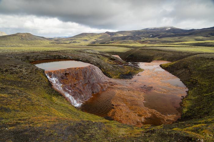
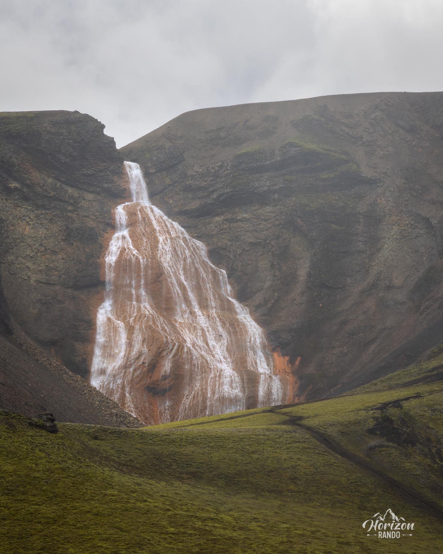
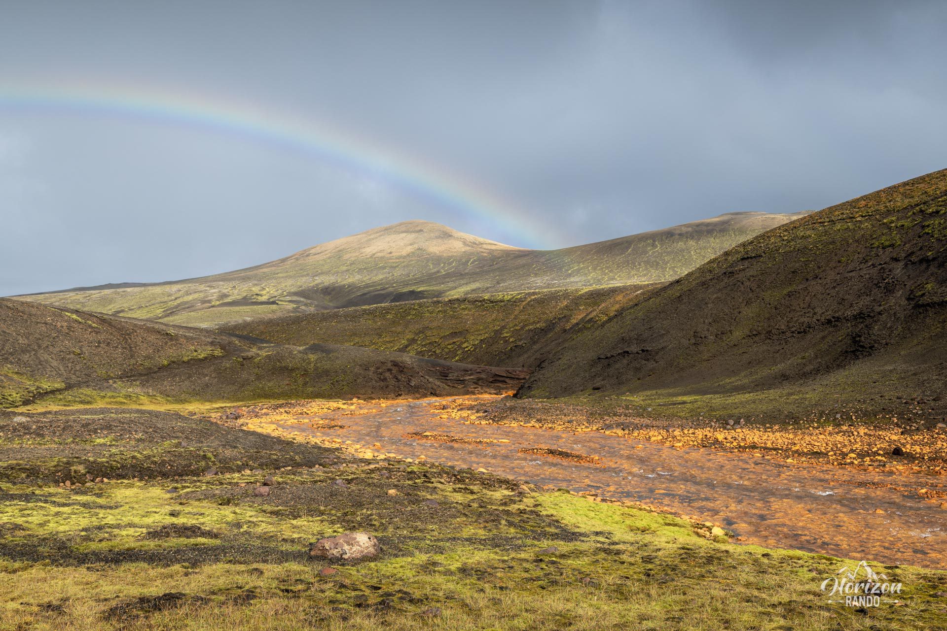
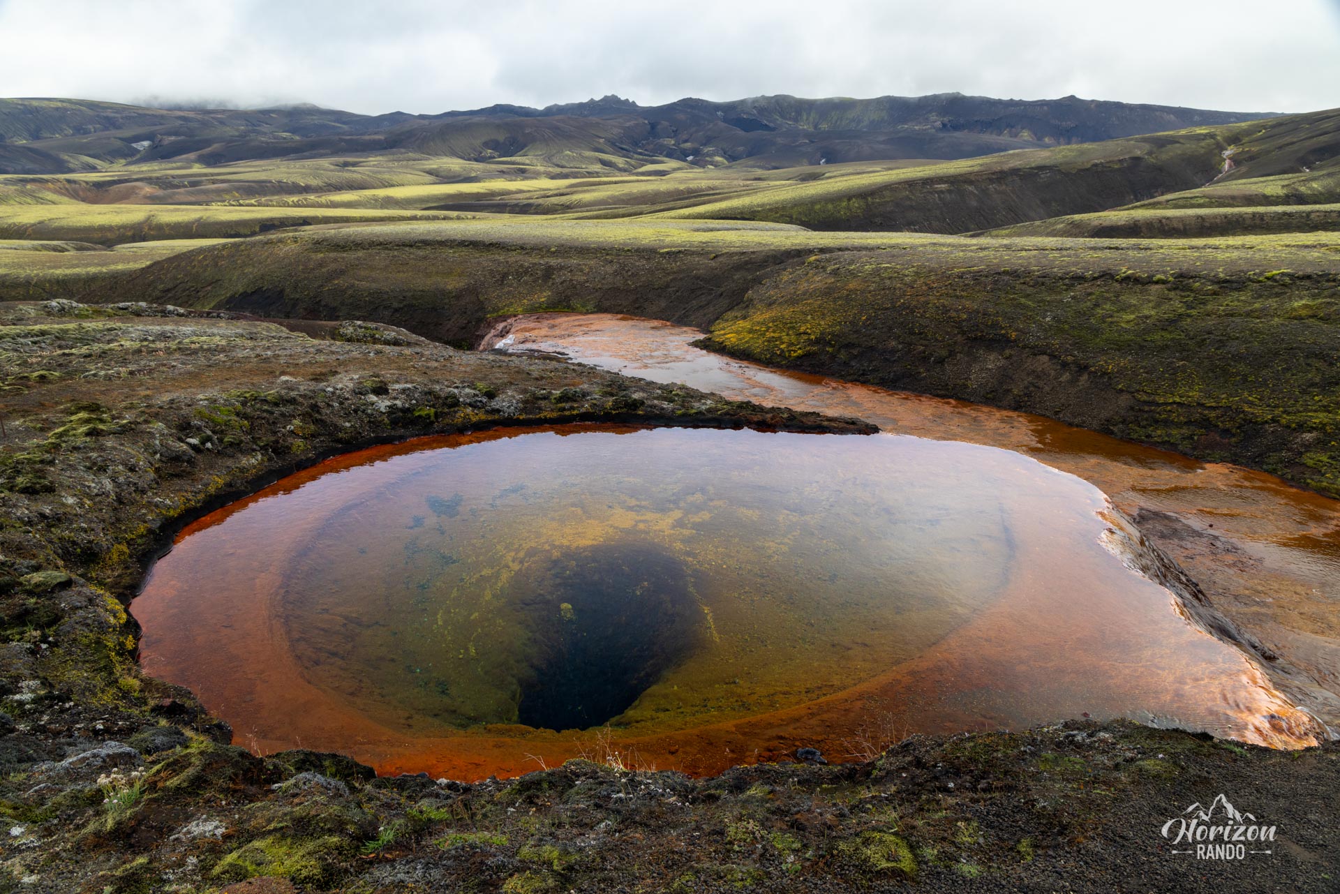
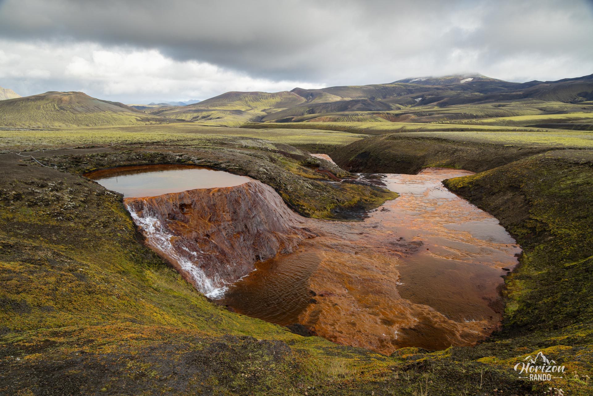
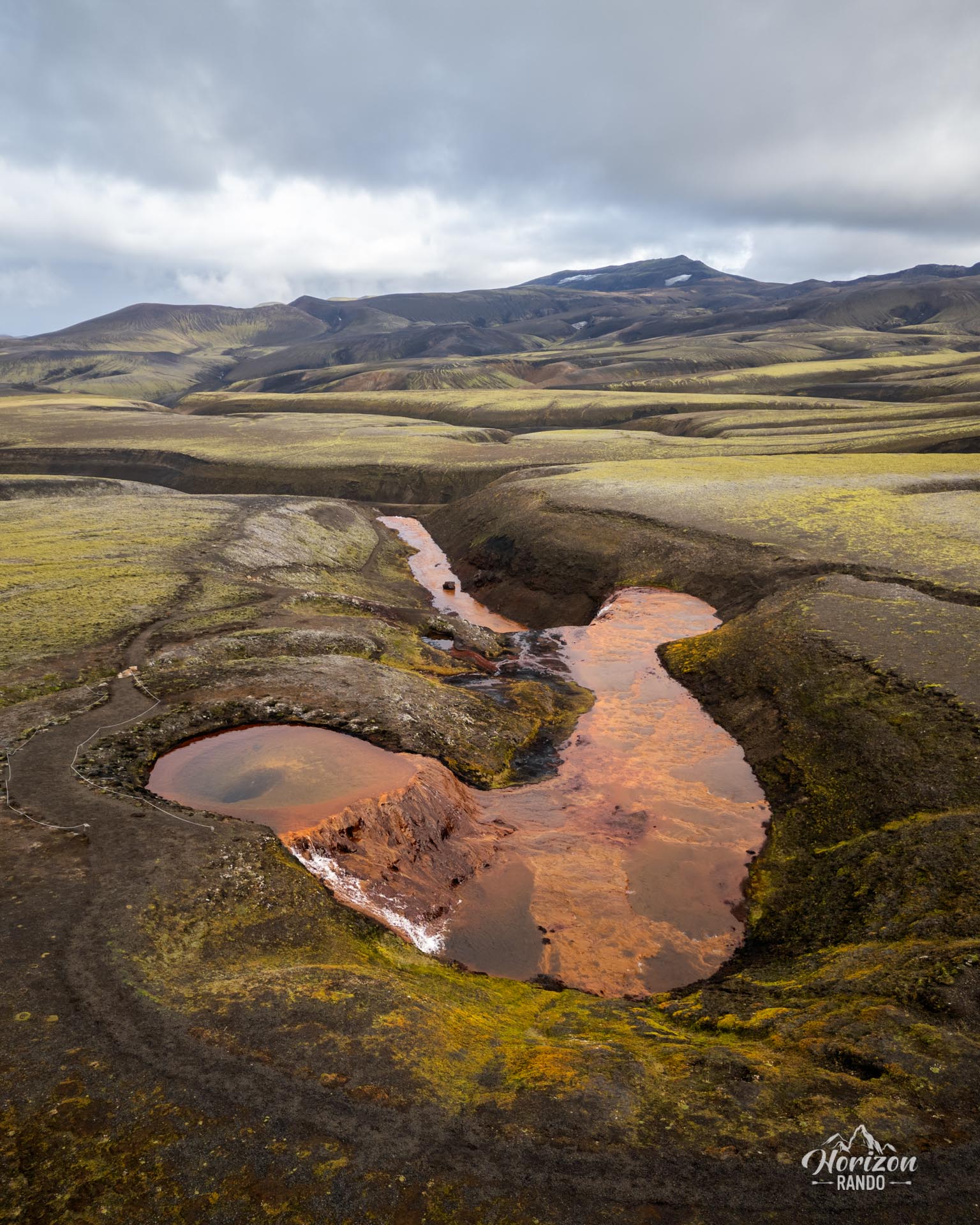
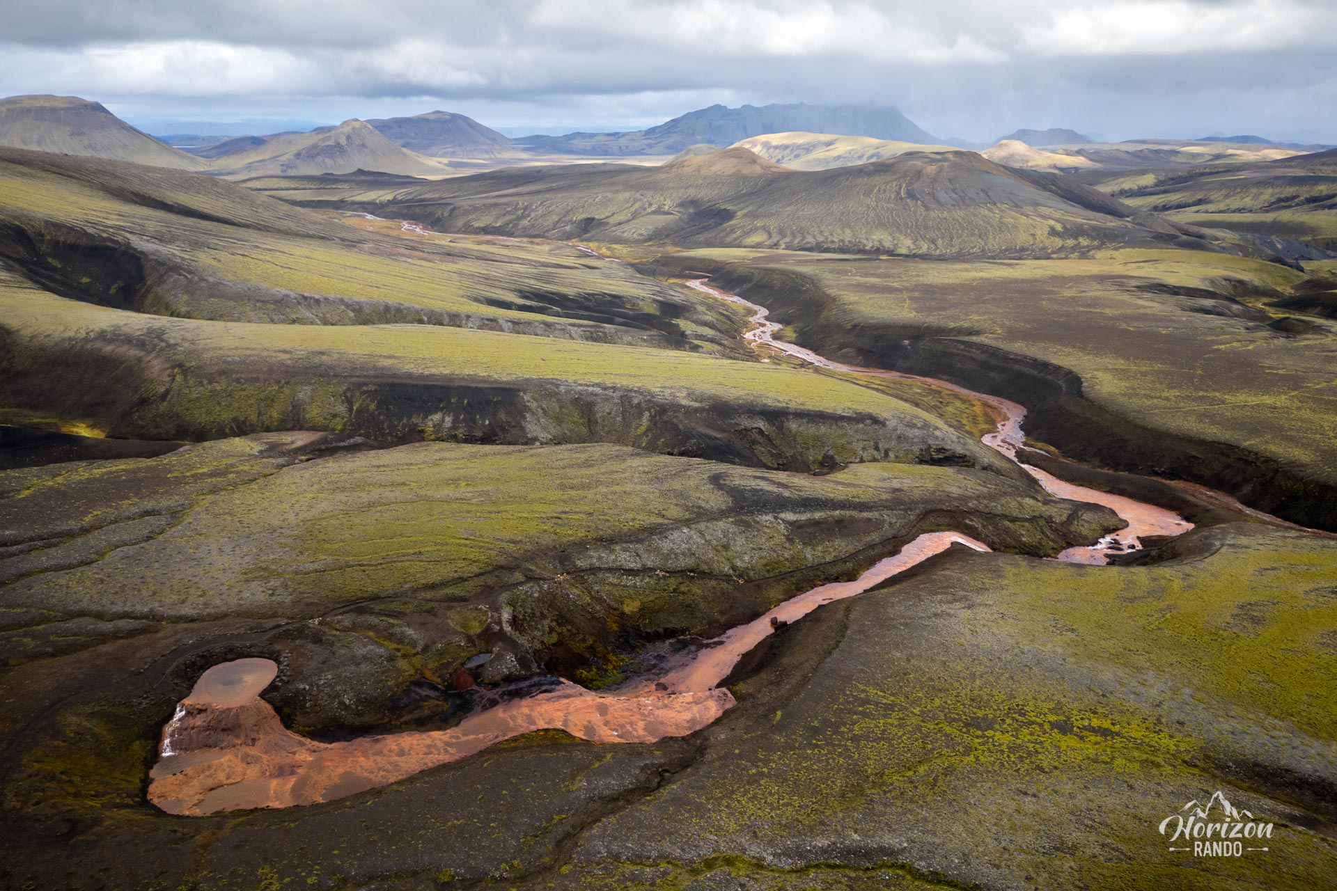
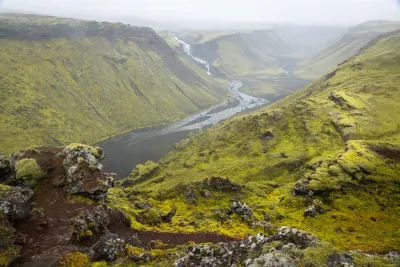
The Rauðauga hike leads to one of Iceland's most fascinating natural wonders: the Red Eye, the mysterious source of the Rauðfossakvísl River. The water's high iron content has stained the riverbed and waterfalls a distinctive rusty red color.
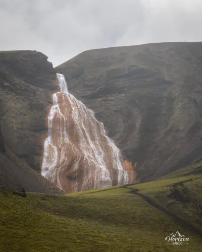
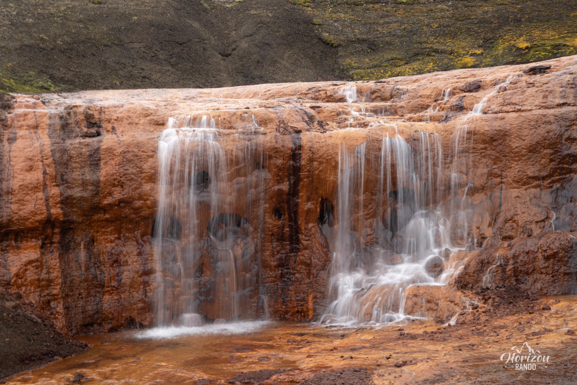
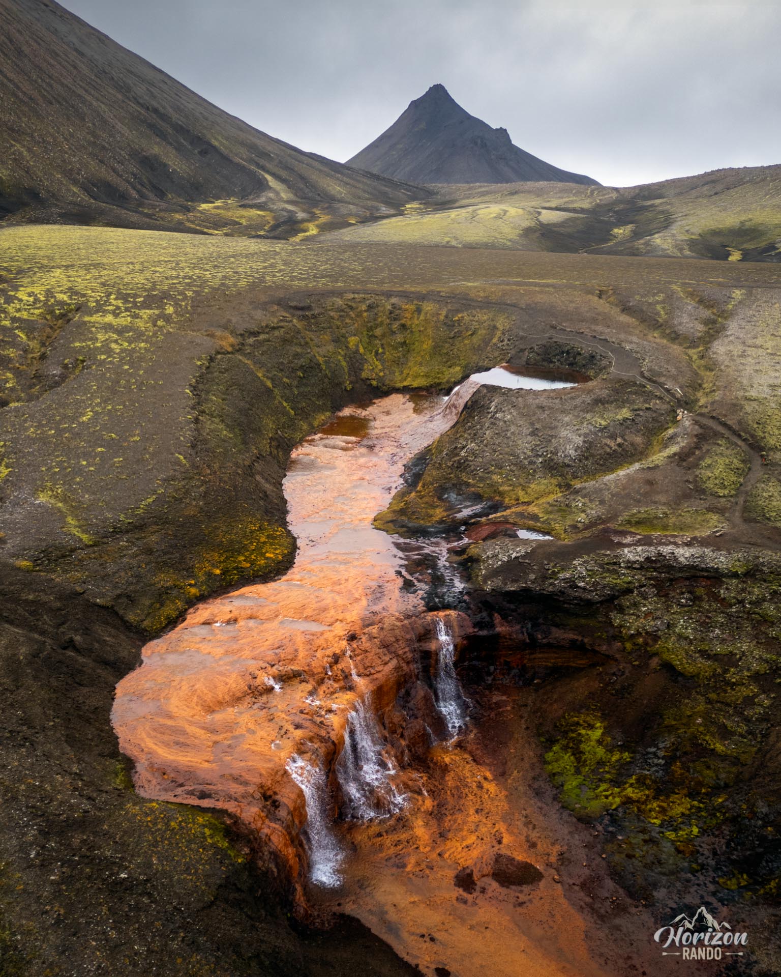
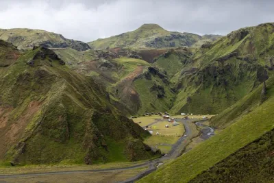
This enchanting place, which is still largely unknown, is located in the heart of the Highlands, in the Fjallabak Nature Reserve. Here, you will discover Rauðfoss, an impressive 60-meter-high waterfall, cascades, and a red river winding through the landscape.
Map and elevation profile of the hike
Rauðauga Hike
Difficulties of the hike
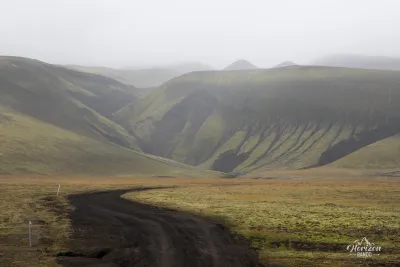
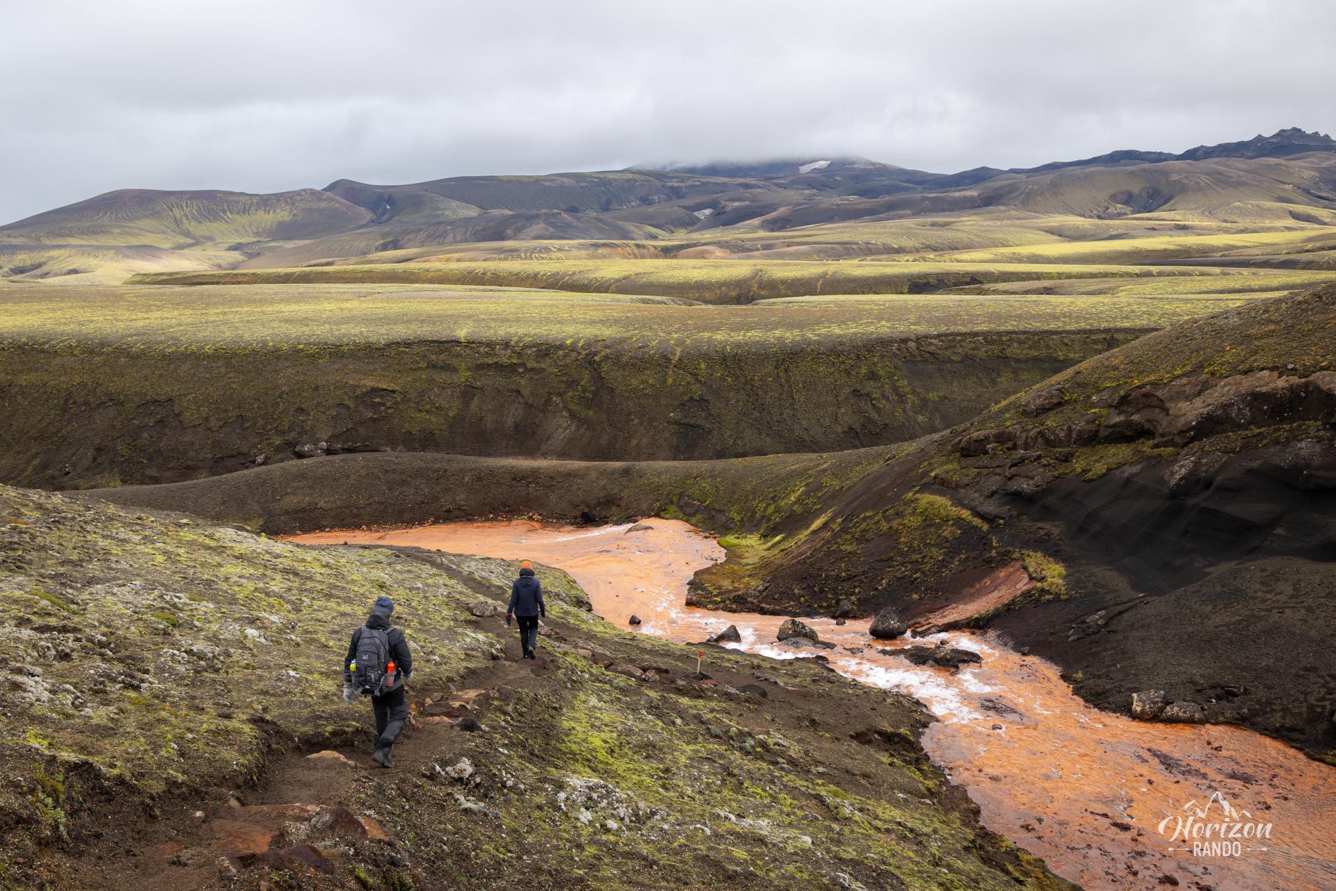
Although few hikers walk this trail, it is carefully maintained and marked. The hike is easy, mostly flat, and free of technical difficulty. It's an experience not to be missed if you're in the Landmannalaugar area.
What you'll love
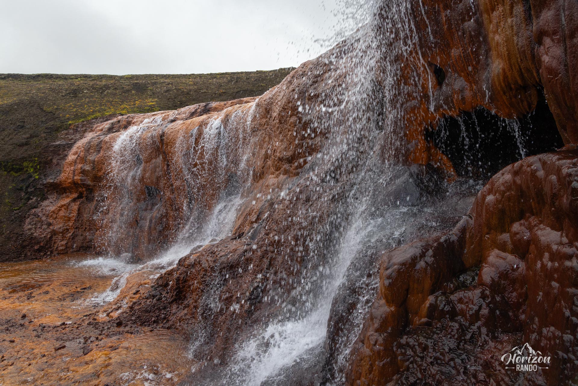
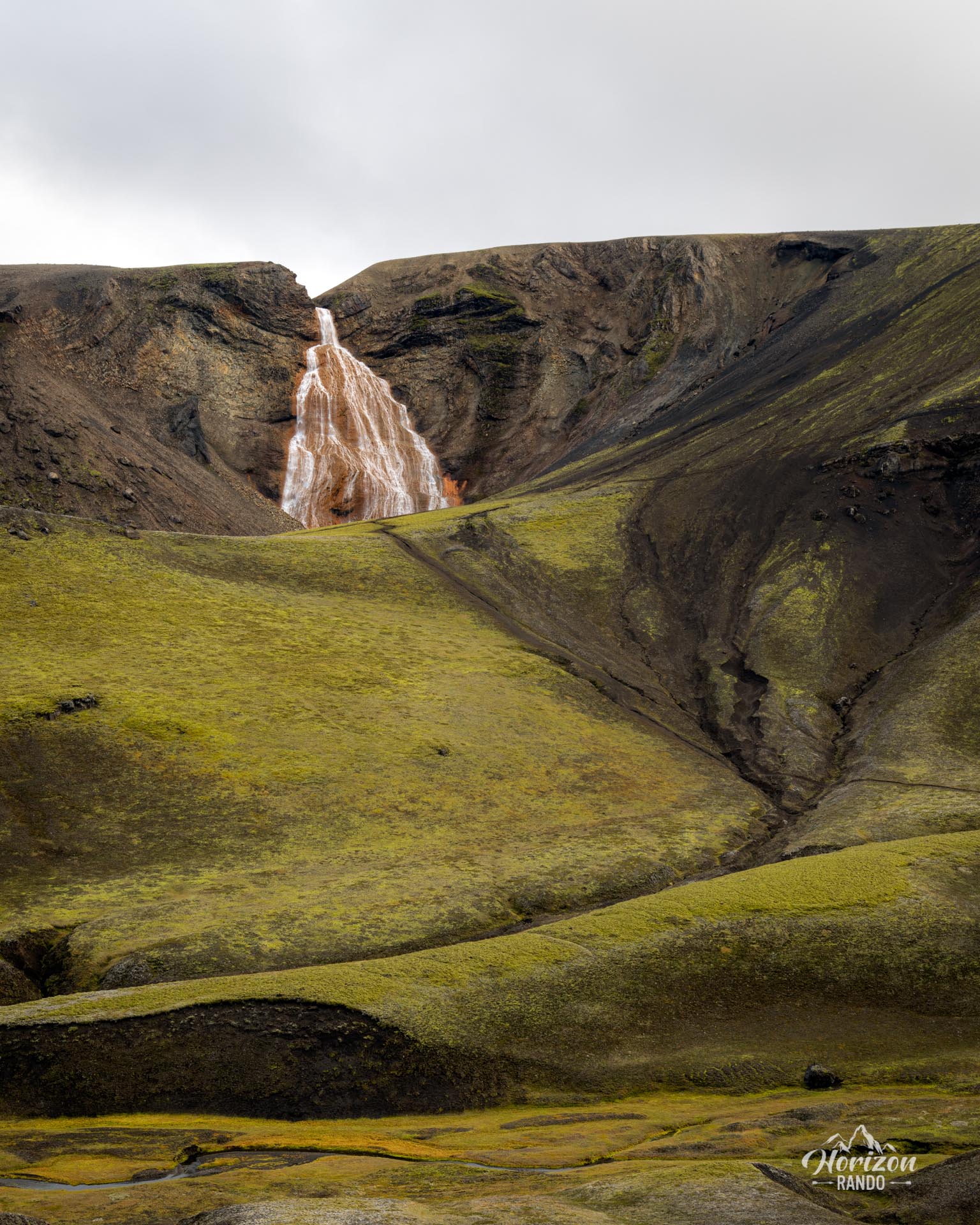
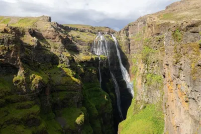
- The spectacular Rauðfoss waterfall: This 60-meter waterfall has a unique rust-red color.
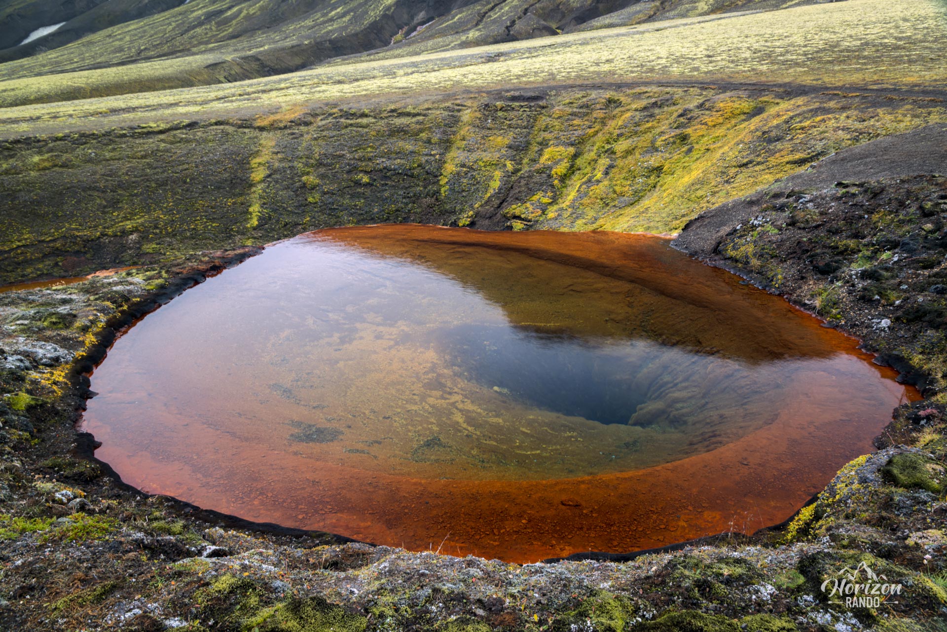
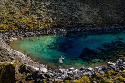
- Arriving at Rauðauga, a crystal-clear spring that literally bursts out of the ground like a red eye with magical reflections.
- A preserved, peaceful route: Far from the busy Highlands, this hike offers a real sense of solitude and adventure.
Practical information
Access
Only possible in summer via the F208 North or F225 roads. A 4WD vehicle is mandatory on Icelandic F-roads.
The F208 North road is recommended because it does not cross any rivers, and all 4WD vehicles can handle it. However, the F225 crosses several small rivers and requires a medium-sized or larger vehicle. See the Driving in the Highlands section for more information.
Photos
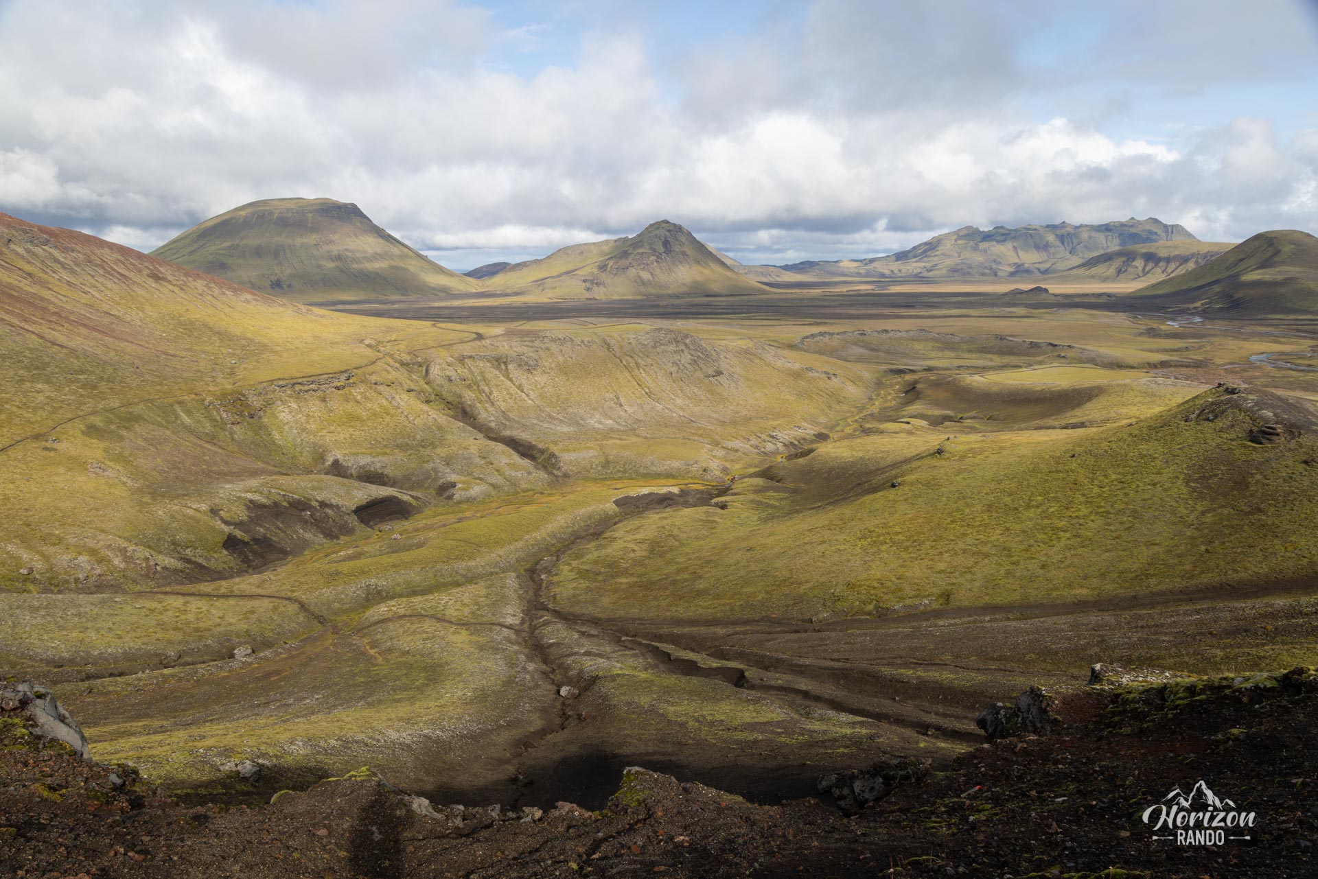
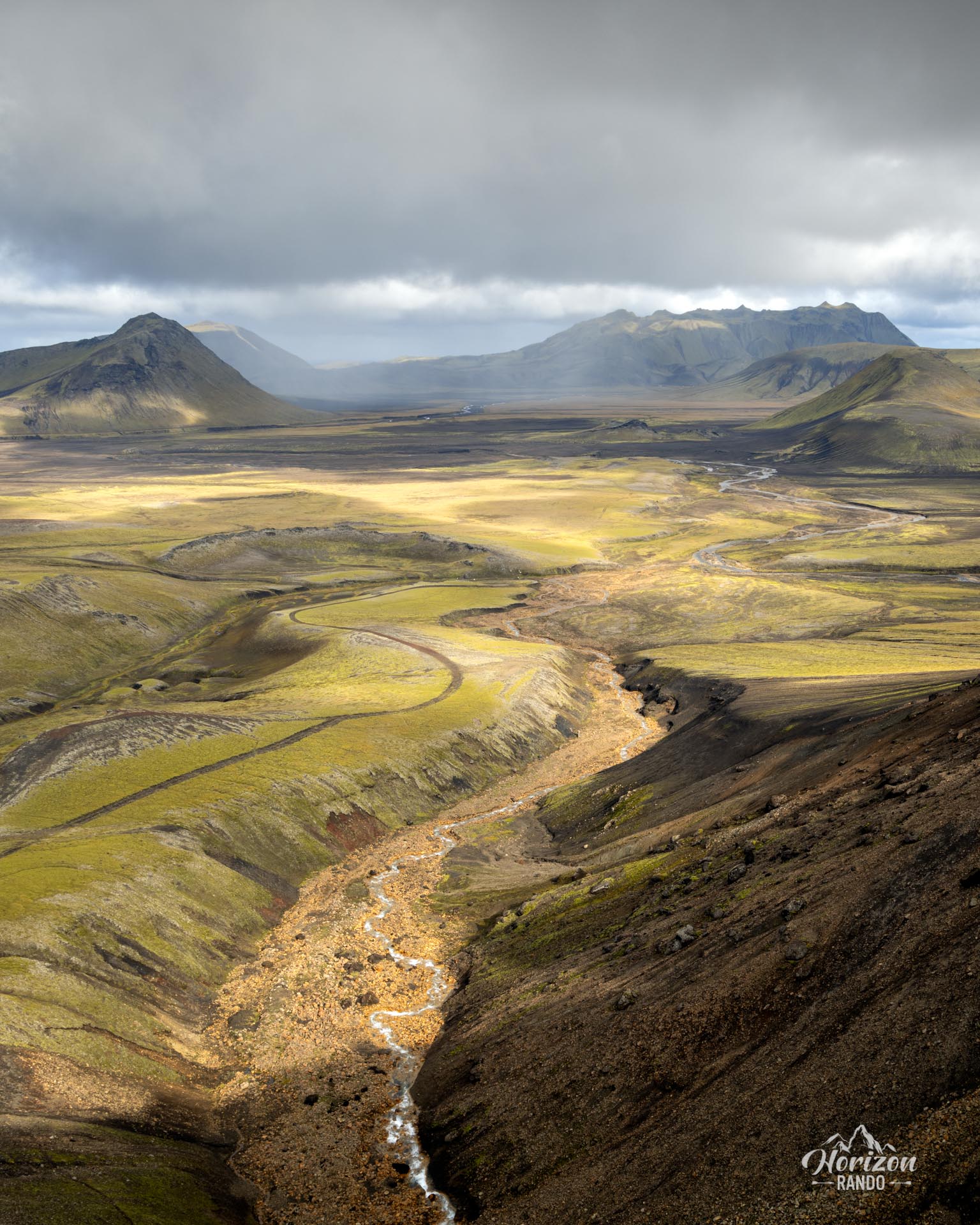
See all 15 photos →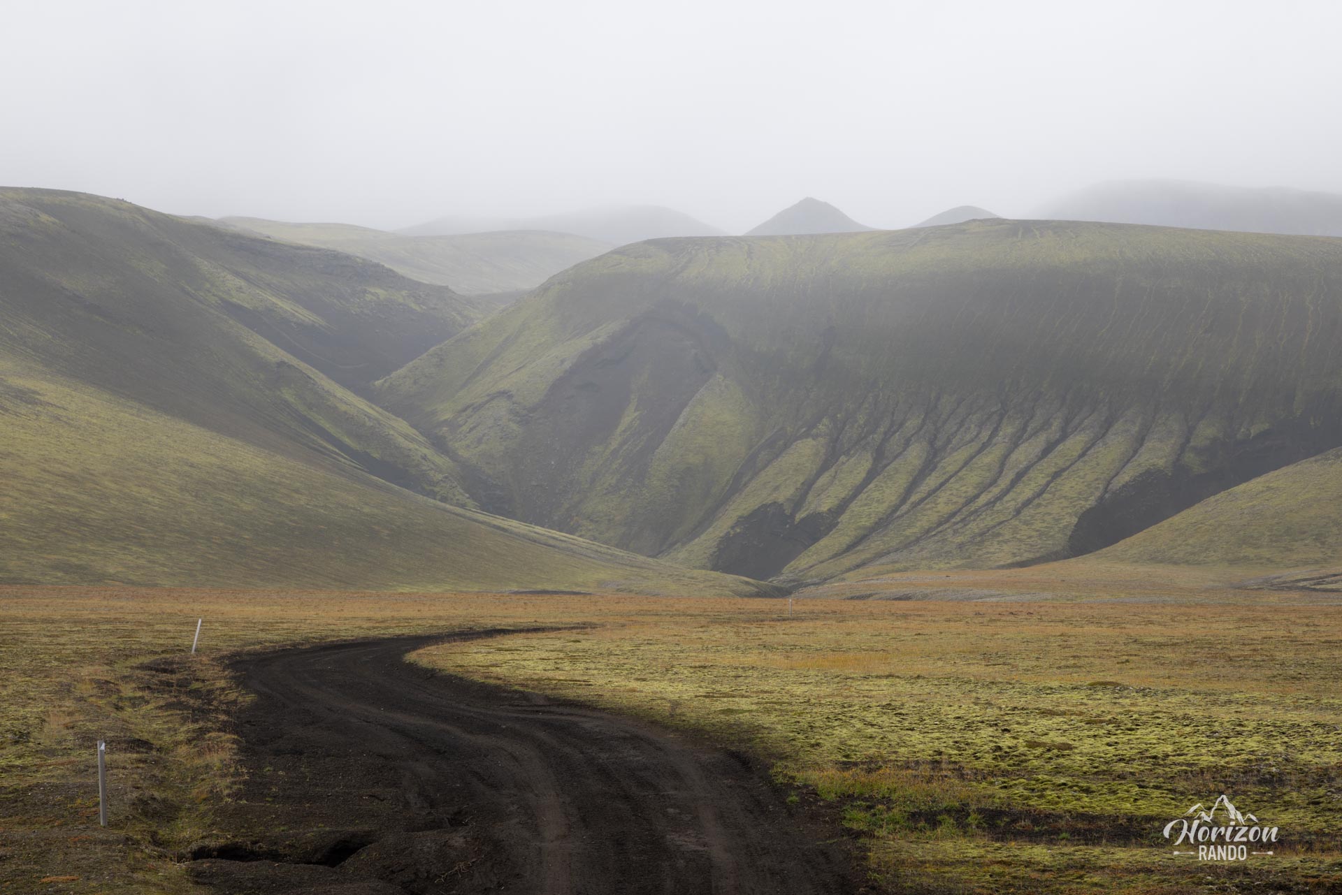
More hikes to do in Iceland
Nearby hikes
Printed from www.horizonrando.fr/en/iceland/raudauga/