
Sveinstindur Hike
Hike overview
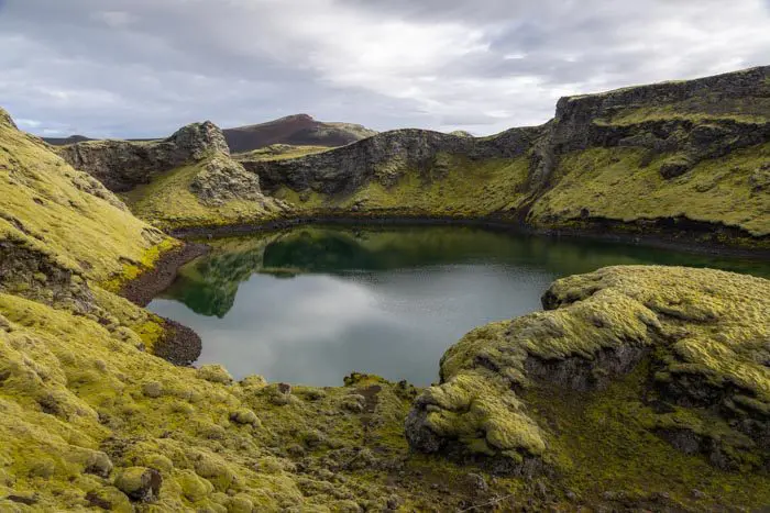
The 1,089-meter-high Sveinstindur summit majestically overlooks Lake Langisjór in Vatnajökull National Park. Located in the heart of the Highlands, the lake is surrounded by a vast desert of black sand and green mountains. Hiking Sveinstindur offers fantastic views of Langisjór, and the remoteness of this site makes the experience truly unique.
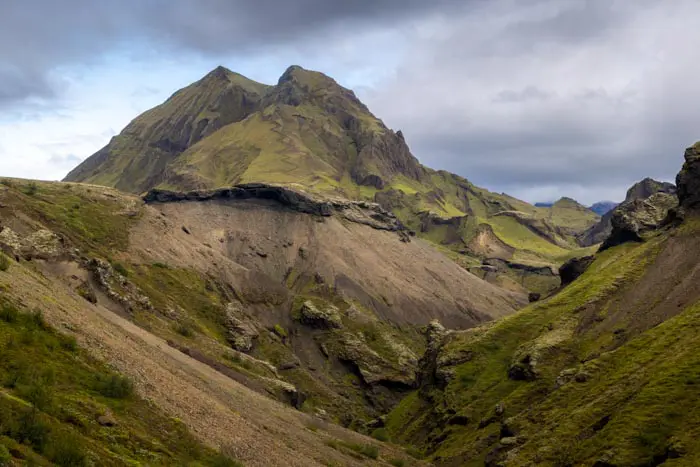
Reaching the summit reveals one of the most sublime panoramas in Iceland —the most beautiful, in my opinion. No photo can truly do this place justice; you must be there to grasp the magnitude of its beauty. From Sveinstindur, you can see the vast expanses of the Vatnajökull and Mýrdalsjökull ice caps, black sand deserts stretching as far as the eye can see, hundreds of mountain peaks, winding rivers, and dozens of kilometers of horizon in every direction. The immensity of the landscape and the silence awaken emotions of rare intensity.
Remarks
Access: Accessible only in the summer, a 4x4 vehicle is mandatory. The journey to Langisjór is an epic adventure and a constant source of wonder. From the F208 road, take the F235 for about 20 kilometers. Expect to cross numerous fords, most of which are easy but some of which are moderately deep, especially along the F208.
See the section on driving in the Highlands for more information.
Accommodation: A campsite near Lake Langisjór welcomes camping enthusiasts. Although it is very basic, it fits in perfectly with the region's authentic atmosphere.
Difficulties of the hike
Despite its low traffic, the trail is well-maintained and marked all the way to the summit. The route is relatively easy, with only a few steep slopes. However, check for snow if you are visiting before mid-July. Rangers are available to provide this information.
What you'll love
- The exceptional panorama at the summit: A 360° view of the Vatnajökull and Mýrdalsjökull ice caps, the Lakagígar craters, and the splendid Langisjór lake.
- Total isolation and authenticity: This region is often overlooked by tourists due to its remoteness, but it offers a sense of adventure and discovery that is rare in Iceland.
- Striking color contrasts: The vast black sand deserts contrast with the blue of the winding Skaftá River and Lake Langisjór, as well as the green moss.
- Lake Langisjór: From the first plateau, you can admire the immense, photogenic Lake Langisjór, which is 20 kilometers long.
Hike technical sheet
➡️ Hiking parameters
➡️ Hiking parameters
➡️ Hiking parameters
Map and elevation profile of the hike
Slideshow


")
")


Nearby hikes


Map of the 10 closest hikes
Hikes to discover
Let chance guide your steps: discover a random selection of the best hikes in Iceland.

Grænihryggur Hike
- Difficulty : Hard
- Duration : 6 h 30
- Distance : 15.7 km
- Elevation gain : 910 m
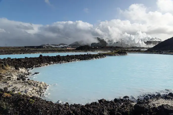
Blue Lagoon

Landmannalaugar to Ljótipollur Hike
- Difficulty : Moderate
- Duration : 4 h 30
- Distance : 13 km
- Elevation gain : 330 m
Rjúpnafell Hike
- Difficulty : Very Hard
- Duration : 6 h
- Distance : 14.3 km
- Elevation gain : 920 m

Tindfjöll Circuit Hike
- Difficulty : Moderate
- Duration : 3 h 30
- Distance : 8.8 km
- Elevation gain : 380 m

Dettifoss East Hike
- Difficulty : Easy
- Duration : 1 h 30
- Distance : 3.9 km
- Elevation gain : 70 m