Tindfjöll Circuit Hike
Hike overview
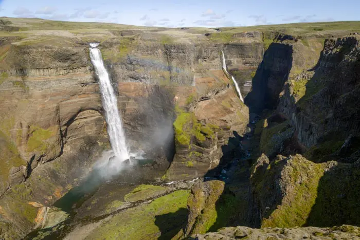
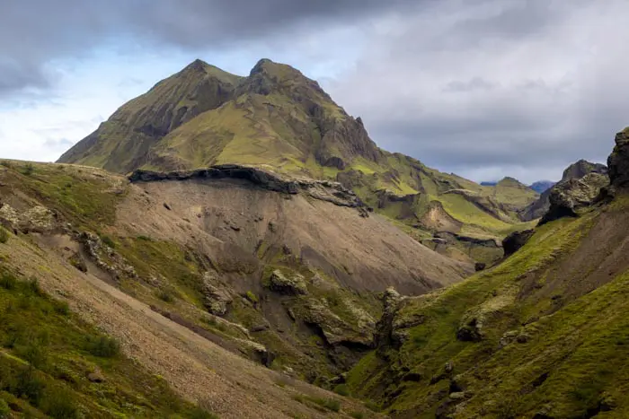
The Tindfjöll circuit begins in Thórsmörk (Thor's Valley), named after the Norse god Thor. Nestled between the Mýrdalsjökull and Eyjafjallajökull ice caps in the highlands, this rugged region is a favorite place of Icelanders and a true paradise for hikers. Sheltered from Atlantic winds, the valley has a surprisingly mild summer microclimate, which promotes lush vegetation, including numerous birch forests. Surrounded by steep, ice-capped mountains, the valley offers striking contrasts between moss-covered slopes and black plains carved by glacial rivers.
This loop hike takes you through some of the most spectacular landscapes in Thórsmörk. In particular, you will discover a dramatic viewpoint at the bottom of the valley where intriguingly shaped rocks rise among magnificent canyons and glaciers.
Remarks
Getting to Thórsmörk: I strongly recommend taking one of the bus companies to reach the region. The F249 road to Thórsmörk has some of the most challenging river crossings in Iceland and should only be attempted by highly experienced drivers with suitable vehicles.
You can book tickets with the bus companies Icelandia and TREX.
Hiking in Thórsmörk: Check out my Thórsmörk hiking guide to help you choose your hikes.
Difficulties of the hike
As with all hikes in the Thórsmörk region, the trail is well-maintained and clearly marked. While it does not present any technical challenges, it includes many passages along the mountainside that may be daunting for those afraid of heights.
What you'll love
- Exceptional views: The highest point offers spectacular, 360-degree views of the meandering Krossá River, the Mýrdalsjökull and Eyjafjallajökull glaciers, Mount Rjúpnafell, and the impressive glacial valleys.
- Unique rock formations: Discover the small Tröllakirkja cave, a rock formation whose name means "troll church."
- Peaceful atmosphere: Despite Thórsmörk's popularity, this tour offers an intimate experience in pristine nature.
- Extension option: For those seeking more adventure, there is the option to climb the impressive Mount Rjúpnafell, adding an extra six kilometers to the route.
Hike technical sheet
➡️ Hiking parameters
➡️ Hiking parameters
➡️ Hiking parameters
Map and elevation profile of the hike
Slideshow


Nearby hikes
Rjúpnafell Hike
- Difficulty : Very Hard
- Duration : 6 h
- Distance : 14.3 km
- Elevation gain : 920 m

Valahnúkur Hike
- Difficulty : Easy
- Duration : 1 h
- Distance : 2.4 km
- Elevation gain : 200 m

Móði and Magni Craters Hike
- Difficulty : Hard
- Duration : 7 h
- Distance : 16.2 km
- Elevation gain : 1100 m

Hvannárgil Hike
- Difficulty : Easy
- Duration : 2 h
- Distance : 4.9 km
- Elevation gain : 380 m
Map of the 10 closest hikes
Hikes to discover
Let chance guide your steps: discover a random selection of the best hikes in Iceland.