Stuðlagil Canyon Hike
Hike overview
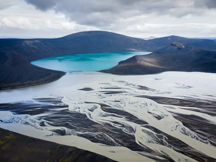
With its remarkable basalt columns and turquoise waters, the Stuðlagil Canyon is one of Iceland's most stunning treasures. Its popularity is relatively recent, and the reason is simple: it used to be underwater! The completion of the Hálslón hydroelectric dam in 2009 caused the water level in the Jökuldalur valley to drop, revealing this extraordinary place to the world.
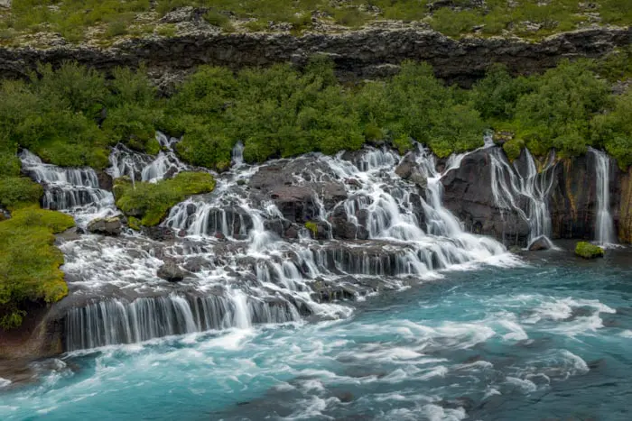
The basalt columns are the result of volcanism. When lava cools slowly, it cracks and forms symmetrical patterns, primarily hexagonal ones. While they are commonly found in Iceland, particularly at Reynisfjara Beach, the Stuðlagil Canyon has the largest concentration.
Remarks
Two sides to explore: The canyon can be explored from both sides. The east side requires a hike, which is described here, and offers free exploration. The west side provides direct access to a unique observation platform.
Water color: Don't be surprised if the water is not turquoise during your visit. Its color can vary from day to day and may appear brownish.
Difficulties of the hike
Access to the canyon from the main parking lot (east side) is via a wide, nearly flat trail that is perfect for the whole family! On the other side, a second parking lot provides access to a unique viewpoint with a lookout visible in the photo above.
What you'll love
- Exceptional geological formations: The 20- to 30-meter-high hexagonal basalt columns create a spectacular backdrop.
- The turquoise waters of the Jökla: The striking contrast between the dark columns and the crystal-clear waters offers exceptional photo opportunities.
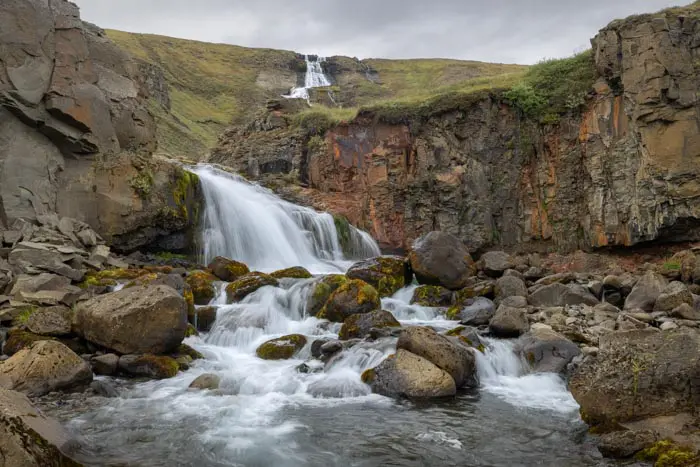
- Stuðlafoss Waterfall: Located just a few meters from the starting point, this waterfall cascades between basalt columns that resemble those of Svartifoss.
Hike technical sheet
➡️ Hiking parameters
➡️ Hiking parameters
➡️ Hiking parameters
Map and elevation profile of the hike
Slideshow


Nearby hikes


Map of the 6 closest hikes
Hikes to discover
Let chance guide your steps: discover a random selection of the best hikes in Iceland.