Hengifoss Hike
Hike overview
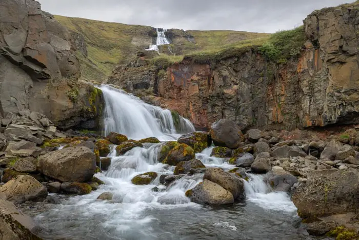
The Hengifoss hike takes you to Iceland's third-highest waterfall, where the Hengifossá River plunges 128 meters into the void. This natural wonder is characterized by its impressive geological strata, which alternate between layers of black basalt and thin bands of red clay, bearing witness to millions of years of volcanic activity.
As you climb, you will also have the opportunity to see the majestic Lítanesfoss waterfall framed by basalt columns. This hike is one of the most popular in eastern Iceland and should definitely be included in your itinerary when exploring this region.
Remarks
Recommended period: May to October for optimal conditions. Access can be difficult in winter due to snow and ice.
Difficulties of the hike
The trail to Hengifoss is easy and accessible to all hikers. The route is well marked.
What you'll love
- The impressive red and black strata of Hengifoss, a veritable geological archive tracing Iceland's volcanic history.
- Discovering Lítanesfoss and its magnificent basalt columns that elegantly frame the waterfall.
Hike technical sheet
➡️ Hiking parameters
➡️ Hiking parameters
➡️ Hiking parameters
Map and elevation profile of the hike
Slideshow


")
")
")


Nearby hikes


Map of the 5 closest hikes
Hikes to discover
Let chance guide your steps: discover a random selection of the best hikes in Iceland.

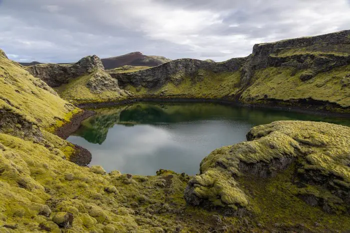
Móði and Magni Craters Hike
- Difficulty : Hard
- Duration : 7 h
- Distance : 16.2 km
- Elevation gain : 1100 m
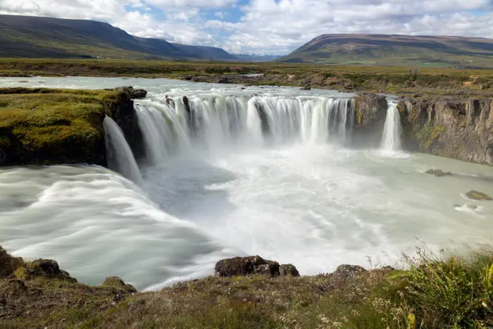
Chutes de Goðafoss

Múlagljúfur Canyon Hike
- Difficulty : Easy
- Duration : 2 h 15
- Distance : 5.6 km
- Elevation gain : 440 m
Suðurnámur Hike
- Difficulty : Moderate
- Duration : 3 h 30
- Distance : 10.1 km
- Elevation gain : 510 m
Drone : Sud Hvolsvöllur