





Ljótipollur Crater Hike
Key facts about the hike
- Difficulty
- Easy Hikes are rated from very easy to very hard: my difficulty scale
- Duration
- 1h30 Estimated time, short breaks included (photos, water, snacks), picnic not included: how it is calculated
- Distance
- 4.4km
- Elevation gain
- 190m
- Type of route
- Loop
- Maximum altitude
- 732 m
- Vertiginous Five levels, depending on how exposed the route is: the levels in detail
- No
- Marked
- Yes
- Popularity
- Low
- Region
- Highlands
- Start point
- 64.03460, -19.01395
- Activity
- Hiking
Hike overview
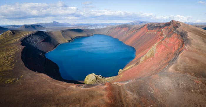
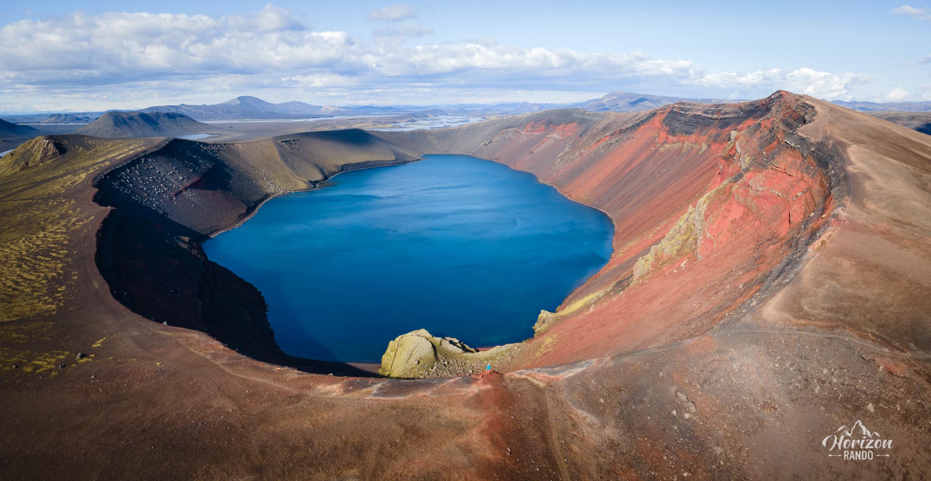
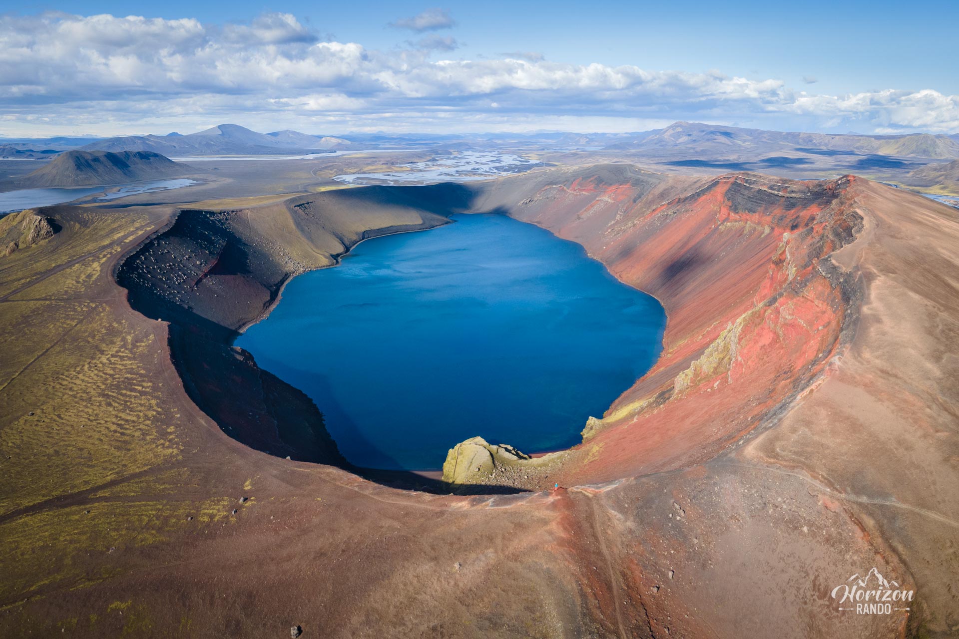
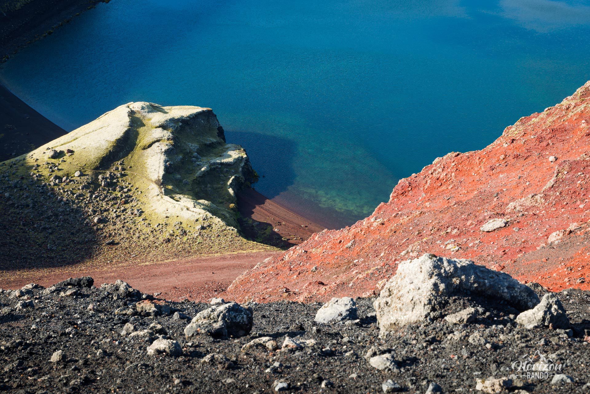
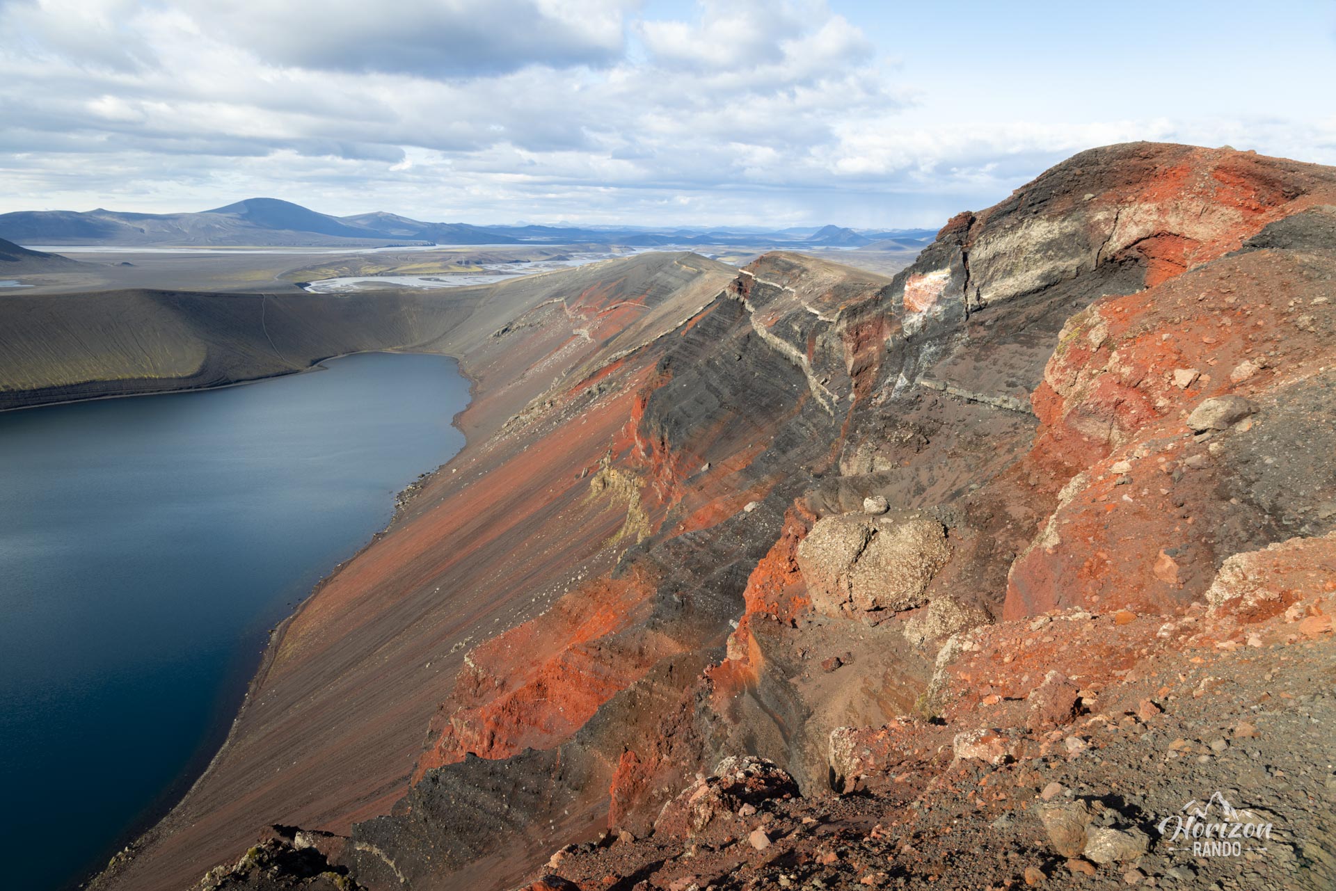
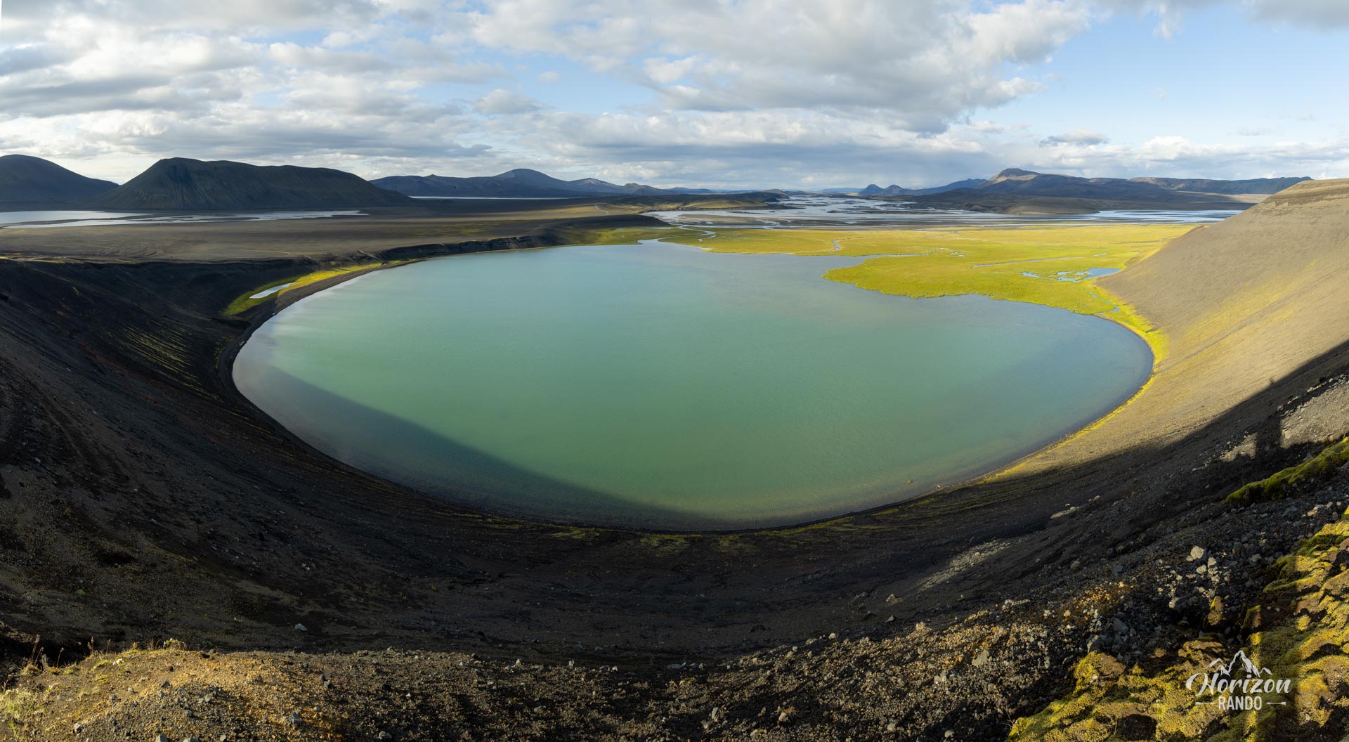
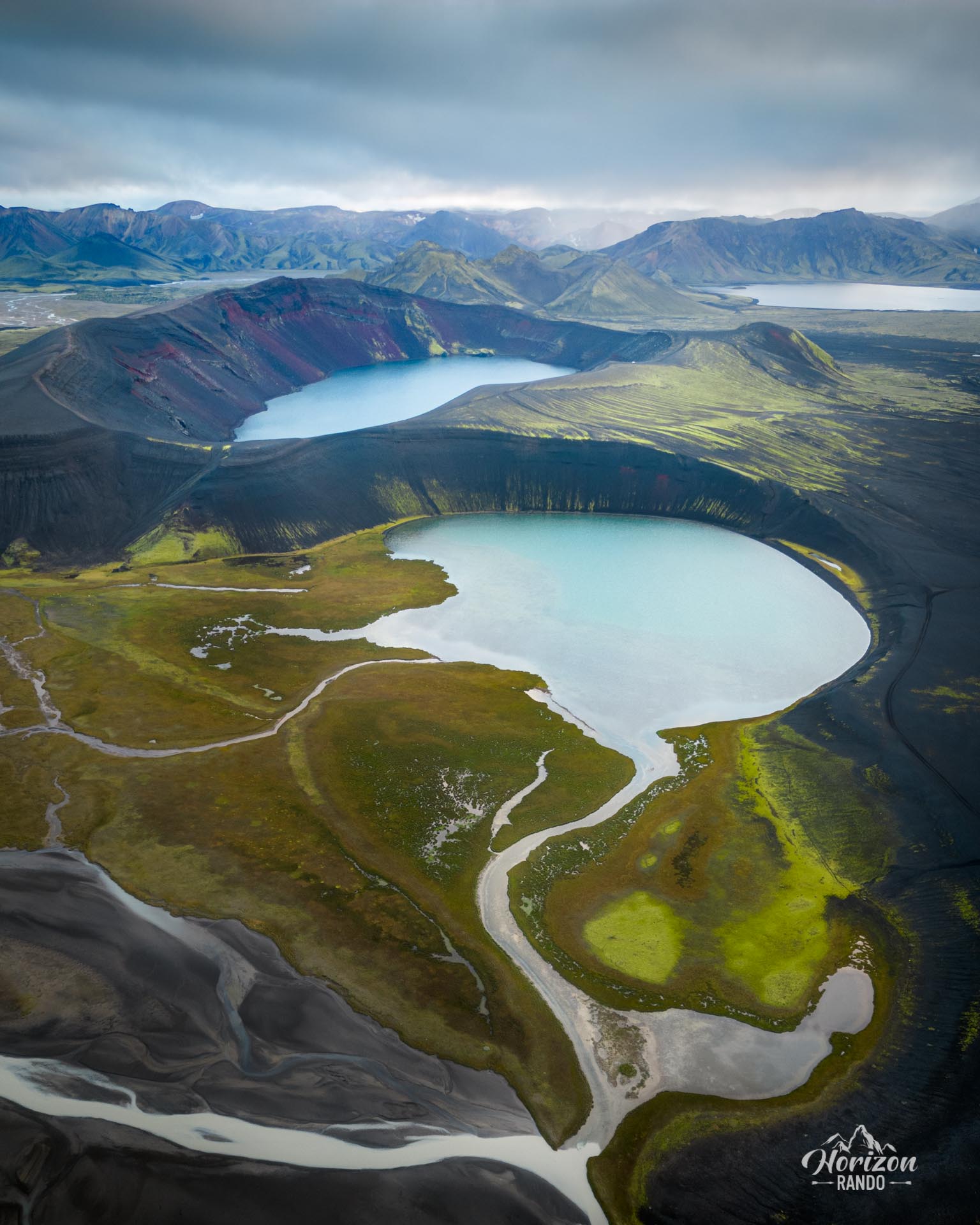
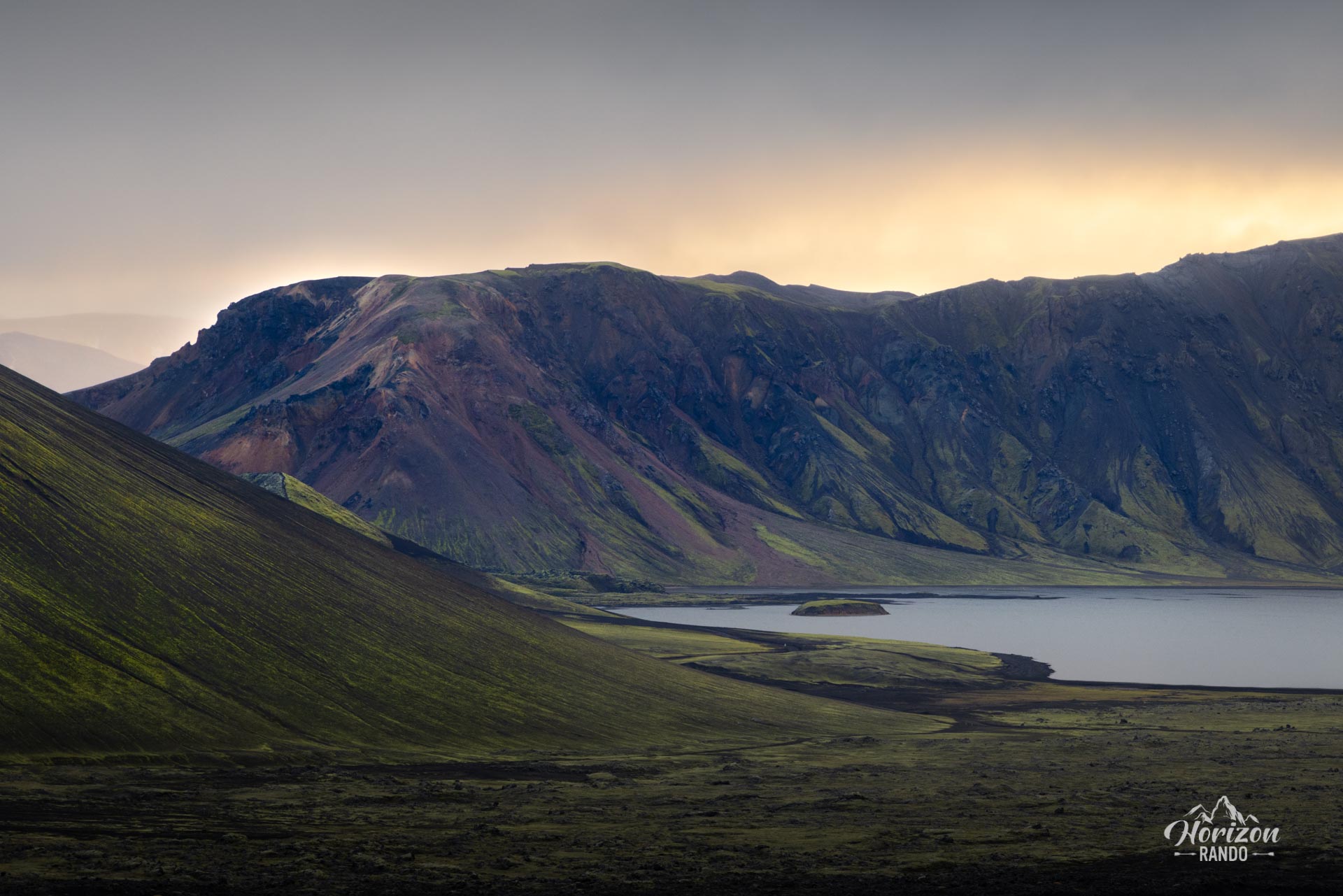
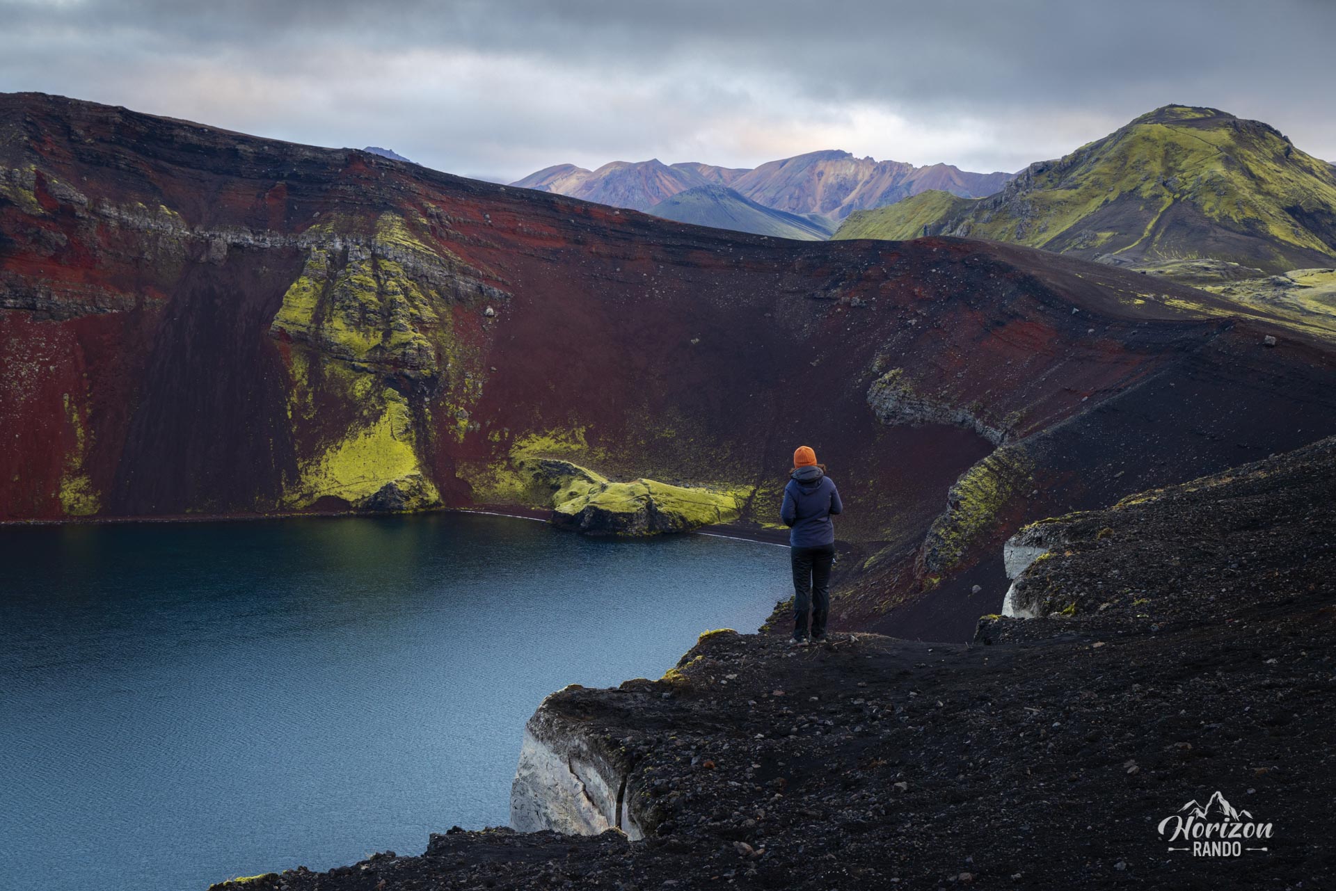
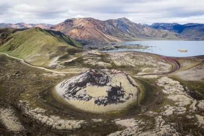
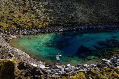
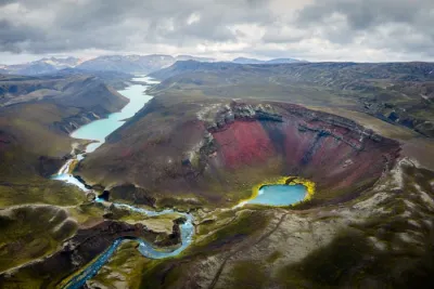
Discover the crater and lake of Ljótipollur, true hidden gems of the Landmannalaugar region in Iceland. Often overlooked by tourists, the crater's name, which means ugly mud pool, is completely undeserved! The deep blue lake provides a striking contrast to the crater's bright red sides.
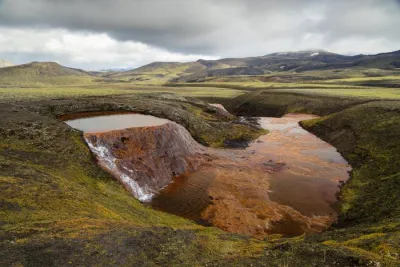
Ljótipollur is a volcanic explosion crater formed by an enormous eruption in 1477 that has gradually filled with water over the years. Although the crater's prominence is not impressive, the views throughout the hike are spectacular and unobstructed.
Map and elevation profile of the hike
Ljótipollur Crater Hike
Difficulties of the hike
This hike is very easy: the trail is clearly marked and goes all the way around the crater along its shores. With no technical difficulties or significant elevation gain, it is suitable for everyone!
What you'll love
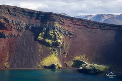
- The color contrast: the bright red sides of the crater create a striking contrast with the deep blue of the lake.
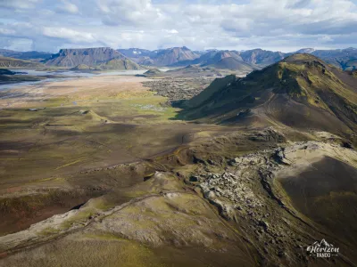
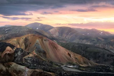
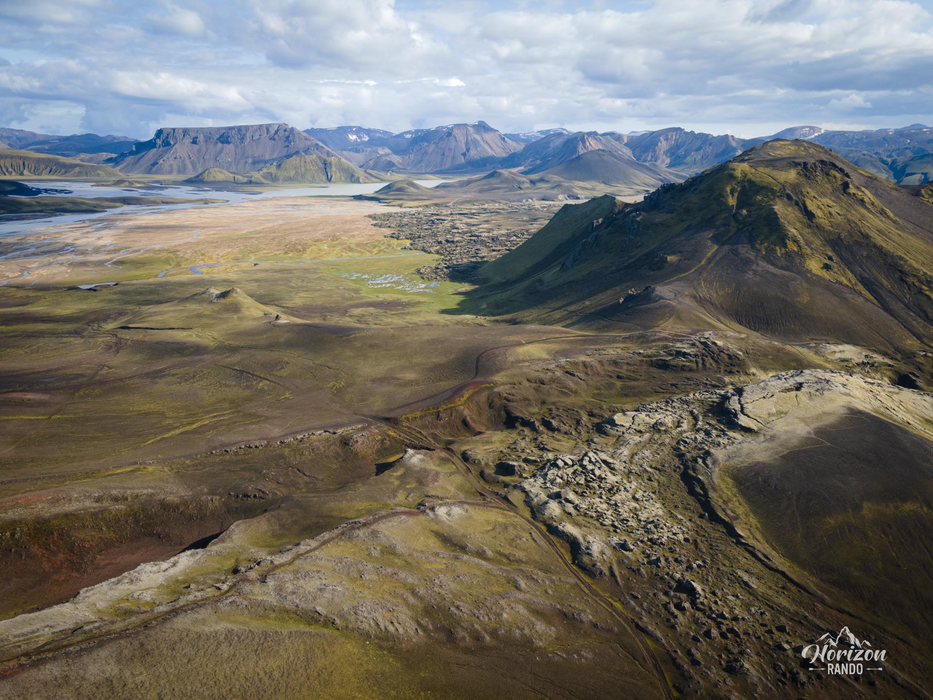
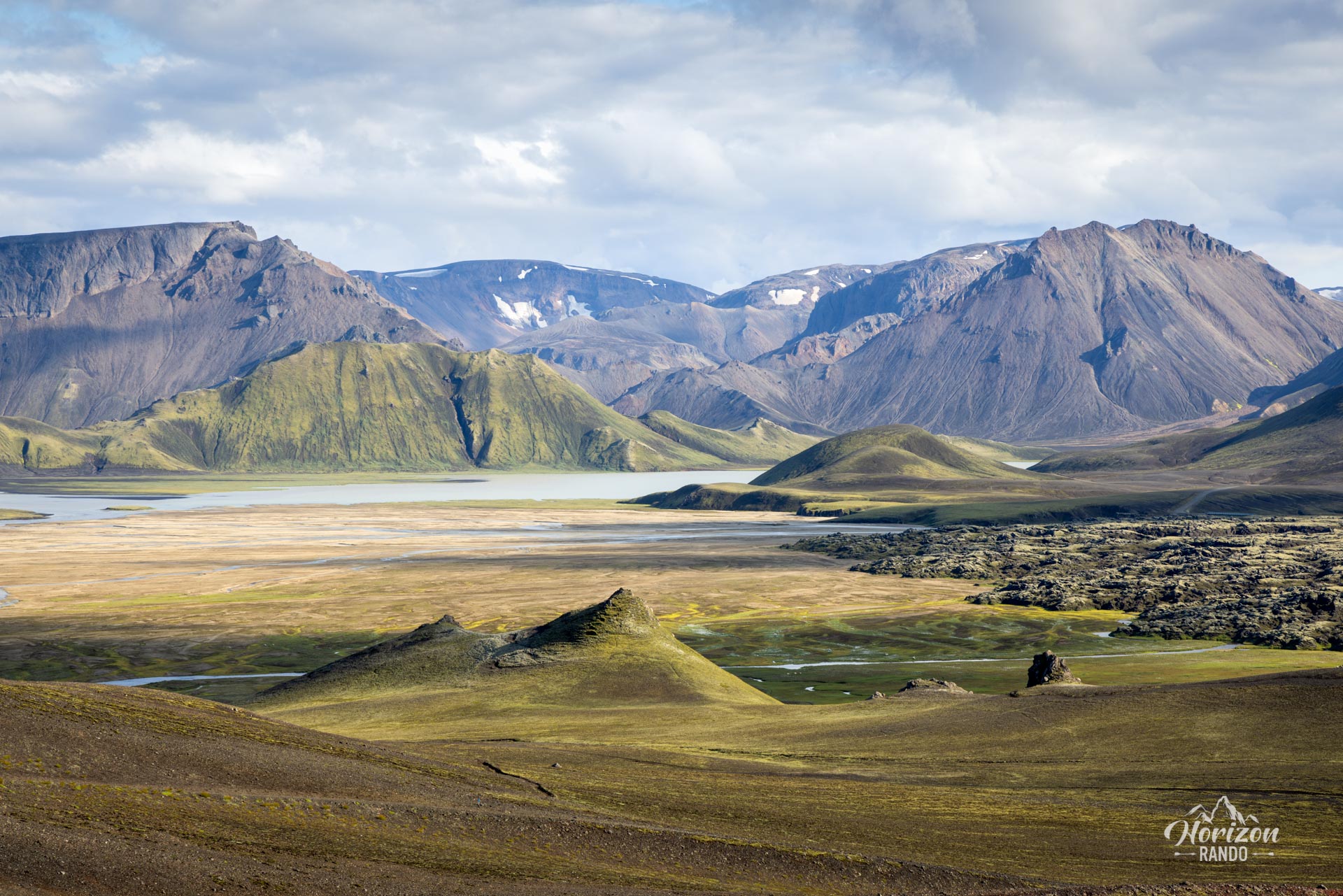
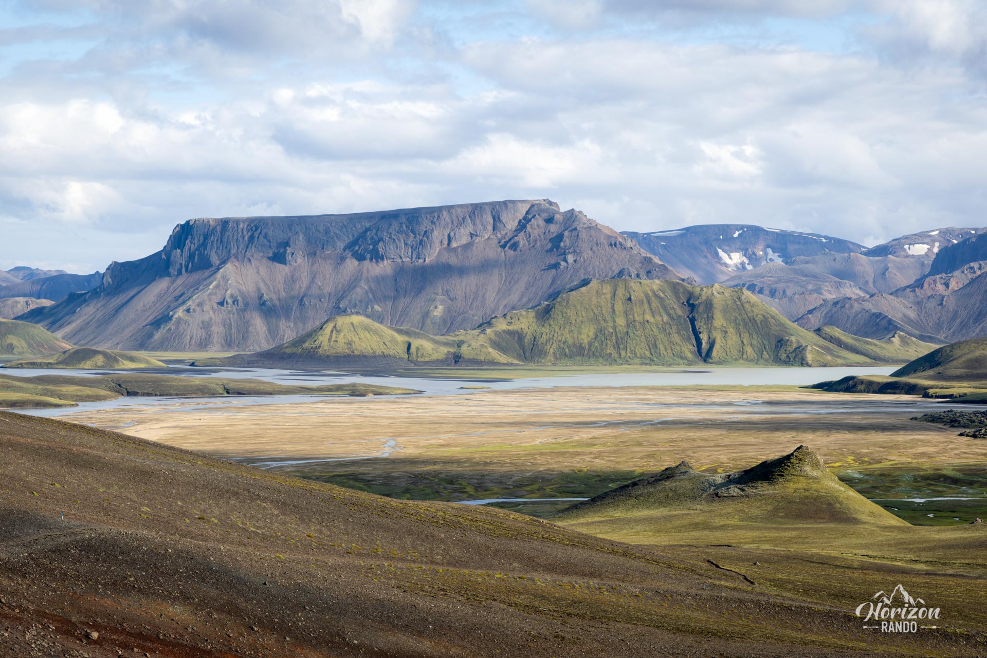
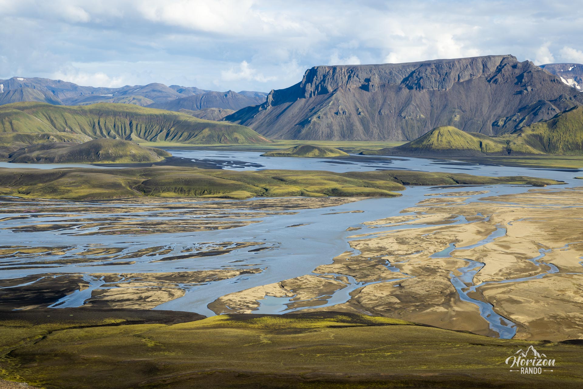
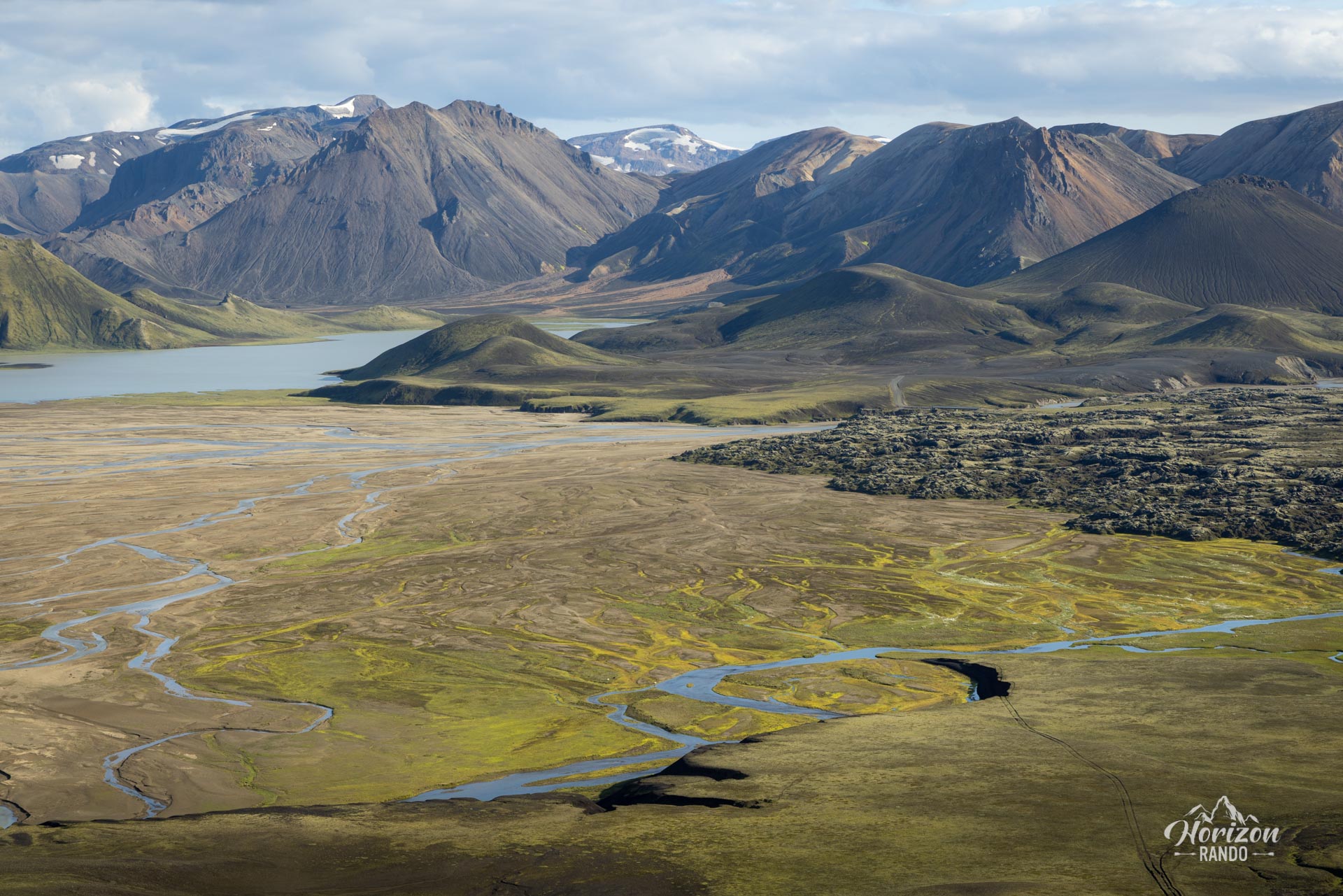
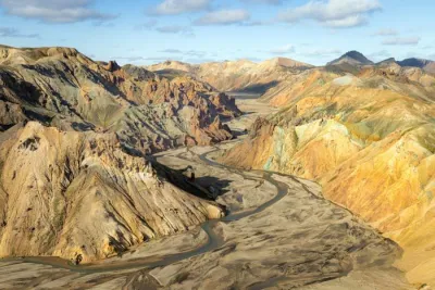
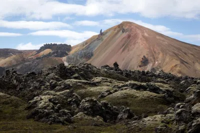
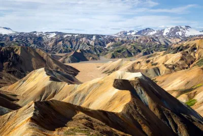
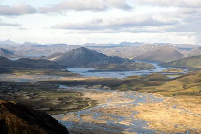
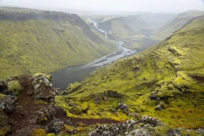
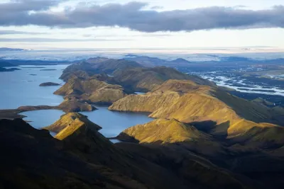
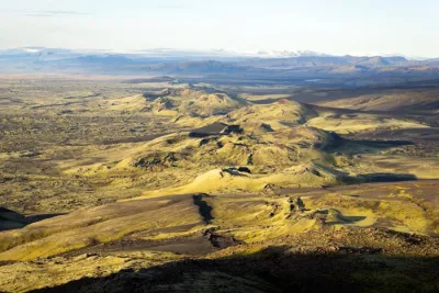
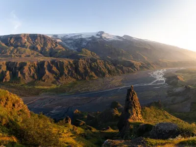
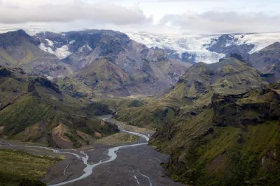
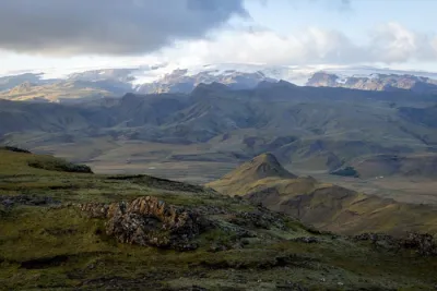
- Exceptional panoramas: throughout the hike, enjoy 360° views of the extraordinary Landmannalaugar region.
- Tranquil haven: accessible yet little-known, this unspoiled site guarantees a peaceful hike far from the crowds.
Practical information
Access
Only possible in summer via the F208 North or F225 roads. A 4WD vehicle is mandatory on Icelandic F-roads.
The F208 North road is recommended because it does not cross any rivers, and all 4WD vehicles can handle it! However, the F225 requires crossing several small rivers and requires a medium-sized or larger vehicle. See the Driving in the Highlands section for more information.
Photos
See all 15 photos →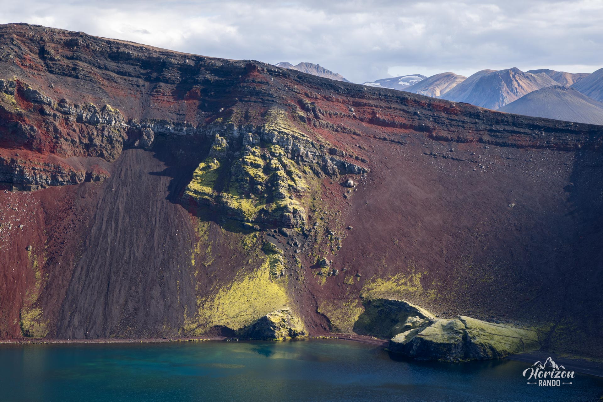

More hikes to do in Iceland
Nearby hikes
Printed from www.horizonrando.fr/en/iceland/ljotipollur-lake/