
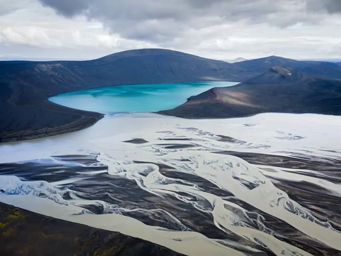
Frostastaðavatn lake
Discover the Frostastaðavatn lake, meaning “lake of the frozen place” in Icelandic, one of the largest lakes in the region with a surface area of 2.6 km². Located along the F208 road leading to Landmannalaugar, this lake offers a landscape marked by the volcanic activity typical of Iceland. In particular, an ancient lava flow from the Suðurnámur mountain into the waters of the lake. This flow is the result of the combined eruptions of the Torfajökull and Bárðarbunga volcanic systems in 1477.
Viewpoint technical sheet
Remarks
How to get there: Accessible only in summer, a 4WD is required. There are three options for reaching the viewpoint:
- Road F208 from the north: the easiest, with no river crossings.
- Road F225: more picturesque, but requiring the crossing of several shallow rivers.
- Road F208 from the south: crossing several moderately deep rivers.
Click here for more details on driving in the Highlands.


")
")
")
")
")
")
")
")
")


Nearby hikes
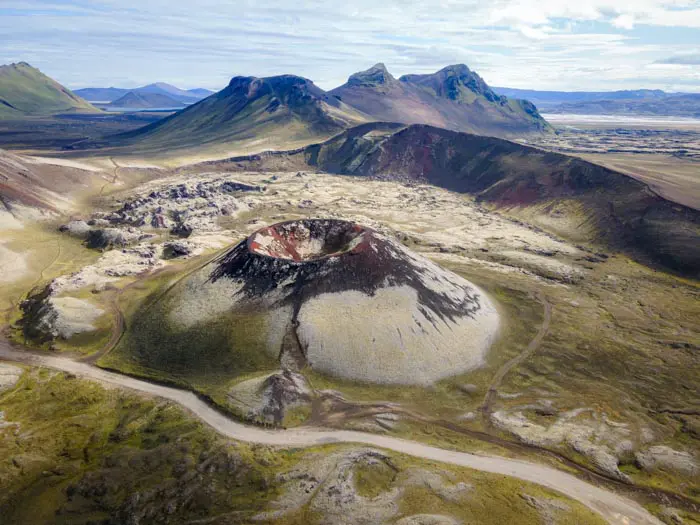
Cratère de Stútur

Bláhnúkur Hike
- Difficulty : Easy
- Duration : 2 h 30
- Distance : 6.3 km
- Elevation gain : 400 m

Bláhnúkur and Brennisteinsalda Hike
- Difficulty : Moderate
- Duration : 4 h
- Distance : 9.9 km
- Elevation gain : 620 m

Brennisteinsalda Hike
- Difficulty : Easy
- Duration : 2 h 45
- Distance : 7.5 km
- Elevation gain : 350 m
Hikes to discover
Let chance guide your steps: discover a random selection of the best hikes in Iceland.
Drone : Lac de Skyggnisvatn
Rjúpnafell Hike
- Difficulty : Very Hard
- Duration : 6 h
- Distance : 14.3 km
- Elevation gain : 920 m

Cascades de Kirkjufell

Dettifoss East Hike
- Difficulty : Easy
- Duration : 1 h 30
- Distance : 3.9 km
- Elevation gain : 70 m

Eldgjá Canyon Hike
- Difficulty : Easy
- Duration : 2 h
- Distance : 5 km
- Elevation gain : 200 m
