
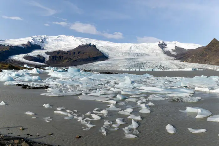
Drone: South Fjallsárlón
This is a particularly photogenic spot, with the braided, milky river from Lake Fjallsárlón in the foreground and the many glacial tongues of Vatnajökull in the background.
MY RATING :
Viewpoint technical sheet
Remarks
Important: before any flight, please take note of Iceland's drone legislation. To do so, please consult this site.

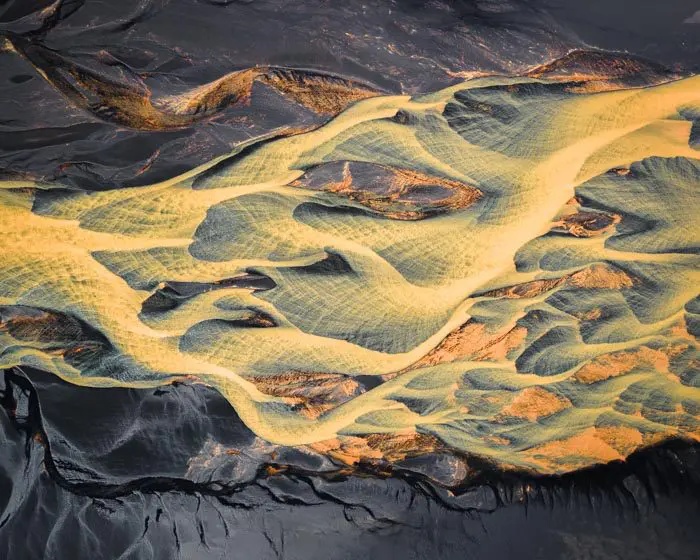
Rivière de Fjallsárlón

Rivière de Fjallsárlón

Rivière de Fjallsárlón

Rivière de Fjallsárlón

Rivière de Fjallsárlón

Rivière de Fjallsárlón

Rivière de Fjallsárlón
Nearby hikes


Hikes to discover
Let chance guide your steps: discover a random selection of the best hikes in Iceland.

Brennisteinsalda Hike
- Difficulty : Easy
- Duration : 2 h 45
- Distance : 7.5 km
- Elevation gain : 350 m
Drone : Sud Hvolsvöllur
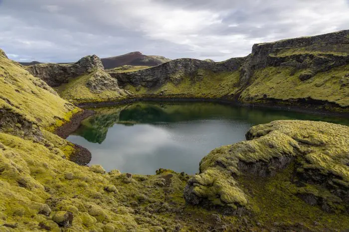
Cratère de Tjarnargígur

Fimmvörðuháls Trek
- Difficulty : Very Hard
- Duration : 10 h
- Distance : 23.8 km
- Elevation gain : 1320 m

Kristínartindar Hike
- Difficulty : Very Hard
- Duration : 7 h
- Distance : 18 km
- Elevation gain : 1100 m

Bláhnúkur Hike
- Difficulty : Easy
- Duration : 2 h 30
- Distance : 6.3 km
- Elevation gain : 400 m