
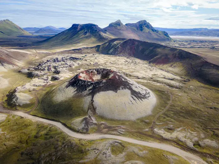
Bláhylur lake
Discover Lake Blahylur, also known as Hnausapollur, near Landmannalaugar in the heart of the Highlands. Blahylur is a maar, a type of volcanic crater formed when groundwater meets hot lava. Typically, a maar fills with water to form a shallow crater lake, as Blahylur did in 871. The scenery is grandiose, with the blue color of the lake contrasting magnificently with the bright green moss of Mount Tjörvafell and the darker shades of the lava.
Tip: take the time to climb Hnausar Hill to the north. The 360-degree view over the Fjallabak reserve is exceptional. To cover the round trip, allow around 45 minutes over a distance of 1.2 kilometers, with an elevation gain of 160 meters. The trail is steep and slippery. Our 4.5 rating takes into account this magnificent panoramic view. Without it, it would be 3.5, just for the view from the parking lot.
Viewpoint technical sheet
Remarks
How to get there: Accessible only in summer, a 4WD is required. There are three options for reaching the shores of the lake:
- Road F208 from the north: the easiest, with no river crossings.
- Road F225: more picturesque, but requiring the crossing of several shallow rivers.
- Road F208 from the south: crossing several moderately deep rivers.
Click here for more details on driving in the Highlands.


")


")
")
")
")
")
Nearby hikes


Hikes to discover
Let chance guide your steps: discover a random selection of the best hikes in Iceland.
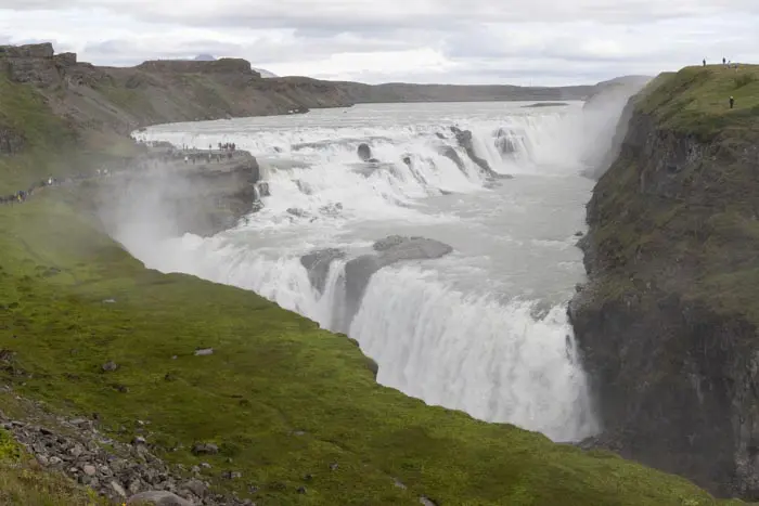
Gullfoss

Leirhnjúkur Hike
- Difficulty : Easy
- Duration : 1 h 45
- Distance : 4.6 km
- Elevation gain : 100 m

Rauðauga Hike
- Difficulty : Easy
- Duration : 3 h 30
- Distance : 9.2 km
- Elevation gain : 340 m

Fimmvörðuháls Trek
- Difficulty : Very Hard
- Duration : 10 h
- Distance : 23.8 km
- Elevation gain : 1320 m

Grænihryggur Hike
- Difficulty : Hard
- Duration : 6 h 30
- Distance : 15.7 km
- Elevation gain : 910 m

Bláhnúkur Hike
- Difficulty : Easy
- Duration : 2 h 30
- Distance : 6.3 km
- Elevation gain : 400 m