





Drone: Fjallabak red craters
The place at a glance
- Type
- Drone spot
- Popularity
- Low
- Region
- Highlands
- Location
- 64.06422, -19.04813
About the place
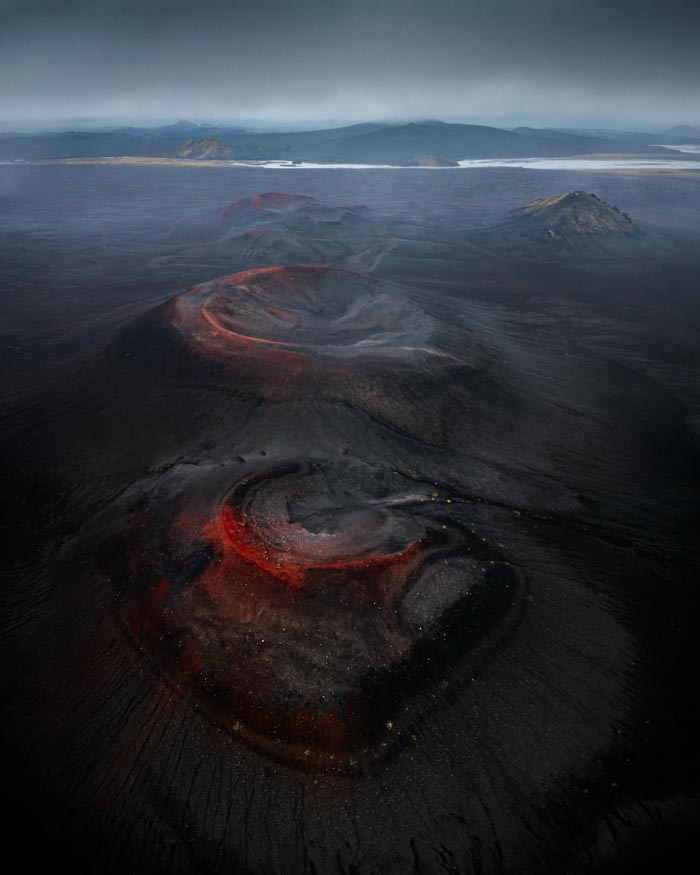
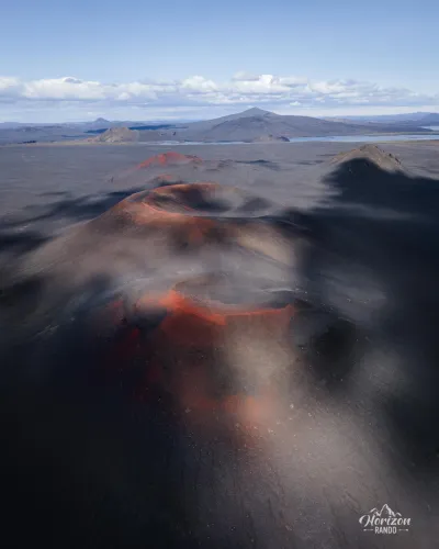
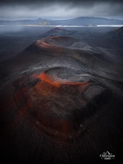
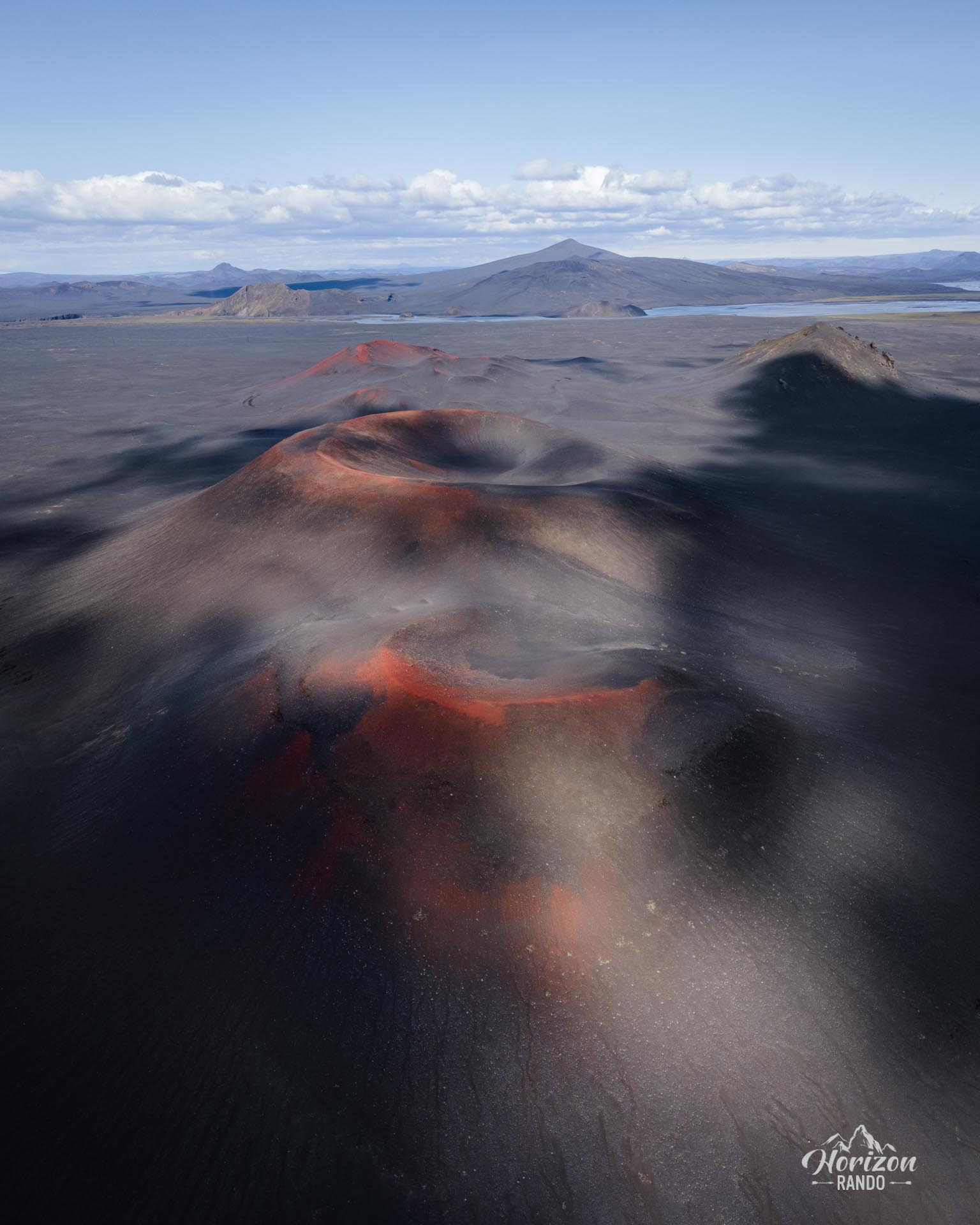
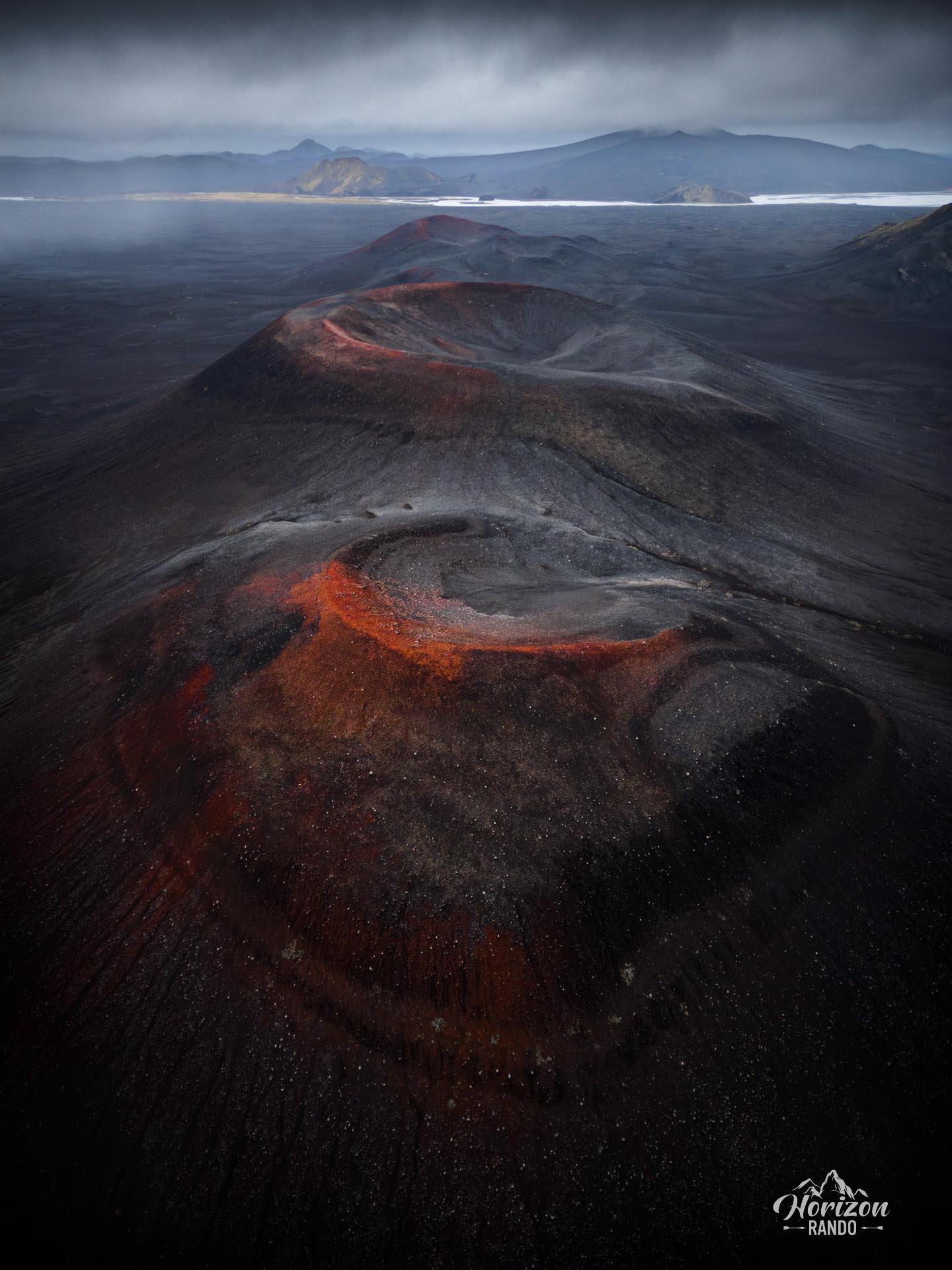
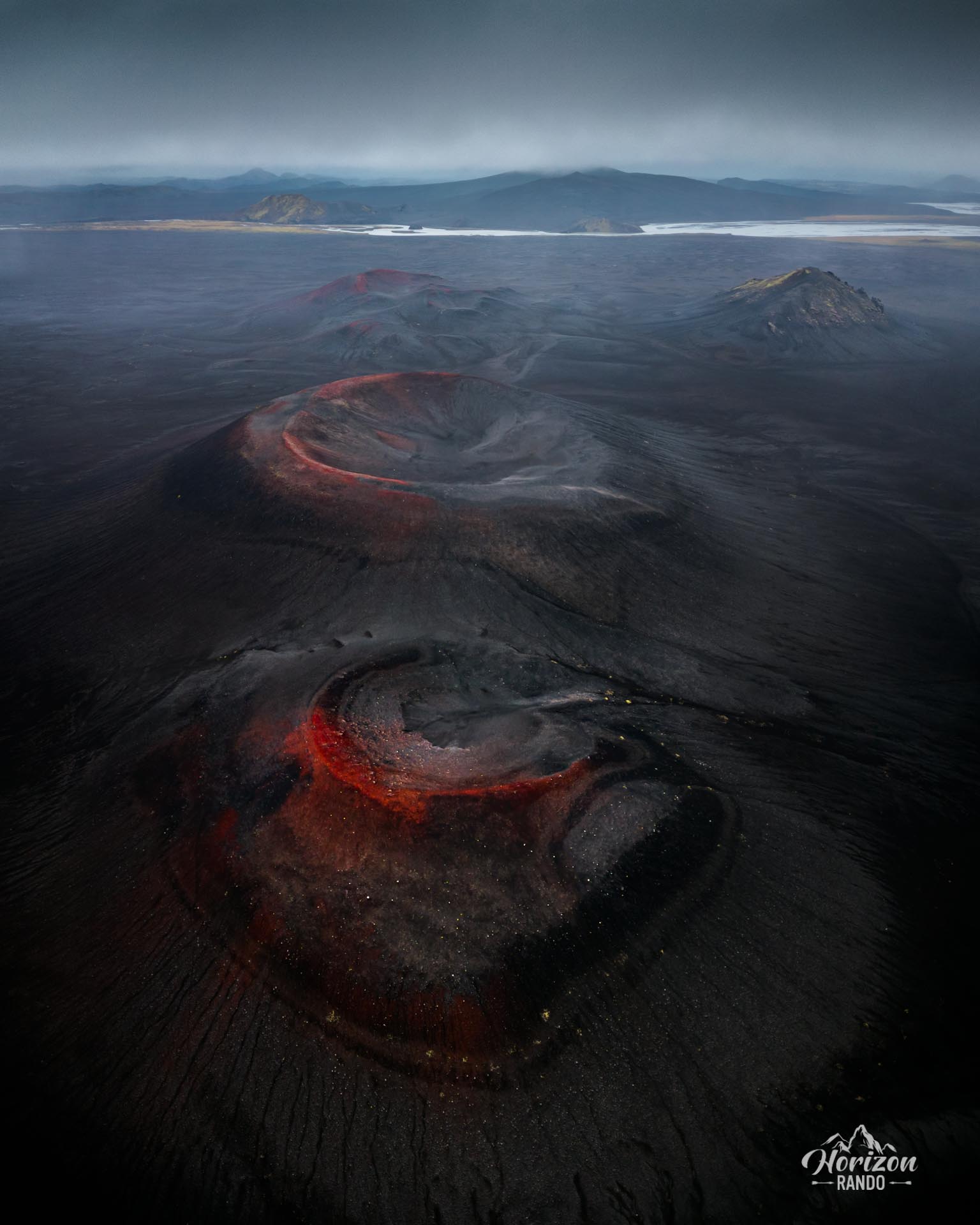
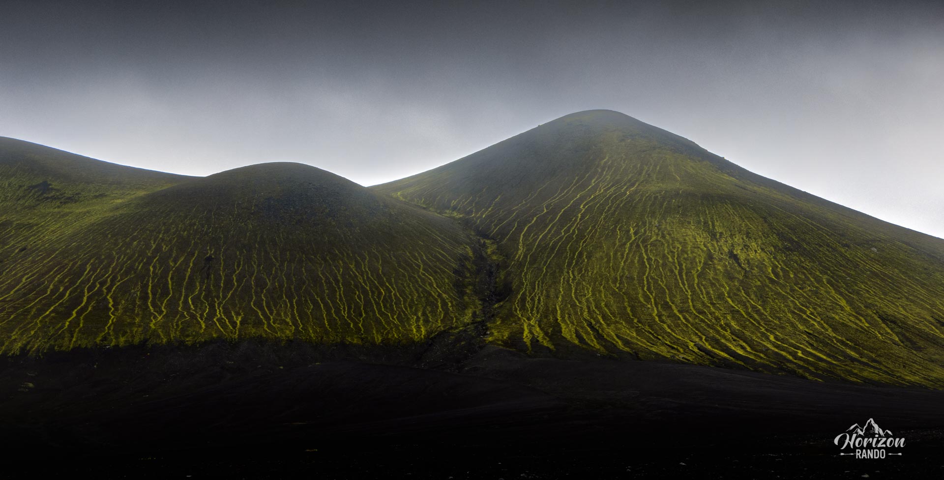
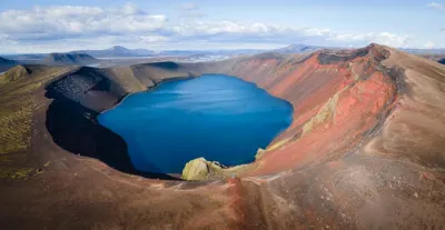
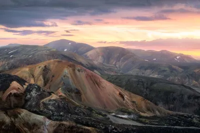
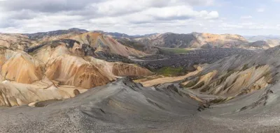
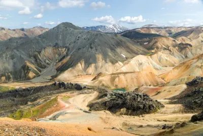
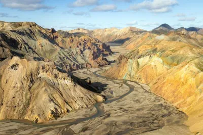
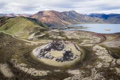
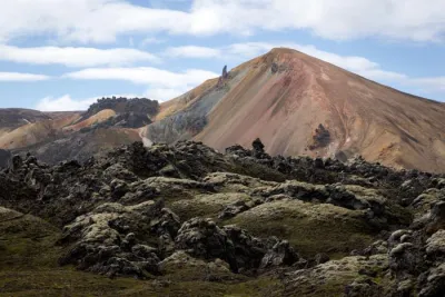
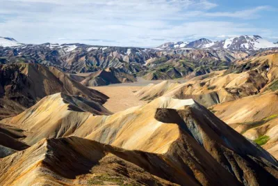
Discover from the air a series of craters with red hues that contrast magnificently with the dark shades of the lava. The atmosphere will be even more captivating on a day with threatening skies.
Practical information
Regulations
Before any flight, check the drone regulations in Iceland (no-fly zones, national parks, maximum height) on island.is.
Access
Accessible via the F208 road, only in summer, a 4WD is required. However, the road is easy and no river crossings are necessary.
Please note
The site is only of interest if you have a drone.
Photos
More places to discover nearby
Nearby viewpoints
Printed from www.horizonrando.fr/en/iceland/drone-fjallabak-red-craters/