
Roalden Hike
Hike overview
Hiking up Roalden (862 m) is one of the most authentic experiences on Senja Island in Norway. It is far from the most popular tourist trails. Yet, it offers equally spectacular and varied panoramic views. Hikers are rewarded with 360° views of the Ersfjord and Medfjord, rugged Senja mountains, and the island's dramatic coastline, often referred to as "Norway in miniature."
This hike is an excellent way to experience the wild beauty of Senja away from the crowds that flock to the more famous peaks.
Remarks
Best time to go: Mid-June to September on average. See the Norway FAQ for more details.
Caution: If you want to reach the exact summit, keep in mind that the last few meters are very vertiginous and tricky. It is strongly recommended that you stop at the mailbox, where the view is the same.
Description and difficulties of the hike
As is often the case on Senja, the trail is clearly visible and perfectly marked, making it easy to find your way. There are no major technical difficulties. From the very beginning, you will cross a marshy area, so wearing waterproof shoes is recommended to keep your feet dry.
The second part of the hike follows the Roalden ridge. Contrary to what you might expect, the route is not very exposed; the trail never runs close to the cliff, and there are no vertiginous passages. However, if you plan to reach the summit of Roalden, proceed with caution; the final part of the route is much more exposed and technical. It is strongly recommended that you stop at the mailbox located a few meters before the summit, where the view is equally magnificent.
What you'll love
- Exceptional panorama from the summit: 360° views of the rugged mountains and spectacular coastline of Senja, with the Ersfjord and Medfjord on either side.
- A wild and unspoiled atmosphere: The trail is not busy, so you can enjoy an authentic Norwegian mountain experience.
- An alternative viewpoint: You can reach the secondary summit, located 200 meters to the northwest, which offers a slightly different view, particularly of the Ersfjord.
Hike technical sheet
➡️ Hiking parameters
➡️ Hiking parameters
➡️ Hiking parameters
Map and elevation profile of the hike
Slideshow


Nearby hikes

Segla Hike
- Difficulty : Moderate
- Duration : 3 h 30
- Distance : 4.2 km
- Elevation gain : 600 m

Hesten Hike
- Difficulty : Moderate
- Duration : 3 h 15
- Distance : 4 km
- Elevation gain : 490 m

Barden Hike
- Difficulty : Moderate
- Duration : 3 h 30
- Distance : 7.1 km
- Elevation gain : 570 m

Grytetippen and Keipen Hike
- Difficulty : Hard
- Duration : 6 h
- Distance : 9.6 km
- Elevation gain : 1140 m
Map of the 8 closest hikes
Hikes to discover
Let chance guide your steps: discover a random selection of the best hikes in Norway.
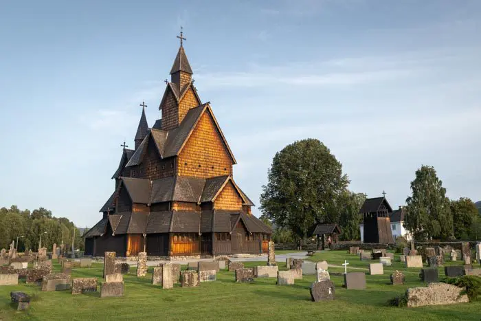
Église de Heddal

Husedalen Waterfall Hike
- Difficulty : Moderate
- Duration : 4 h 30
- Distance : 10.6 km
- Elevation gain : 650 m

Raudmelen Hike
- Difficulty : Moderate
- Duration : 5 h
- Distance : 9.8 km
- Elevation gain : 920 m

Blånebba Hike
- Difficulty : Very Hard
- Duration : 8 h
- Distance : 17.3 km
- Elevation gain : 1660 m

Munken Hike
- Difficulty : Hard
- Duration : 5 h 30
- Distance : 13 km
- Elevation gain : 1030 m

Husfjellet Hike
- Difficulty : Moderate
- Duration : 4 h
- Distance : 8.8 km
- Elevation gain : 670 m