
An Teallach Hike
Hike overview
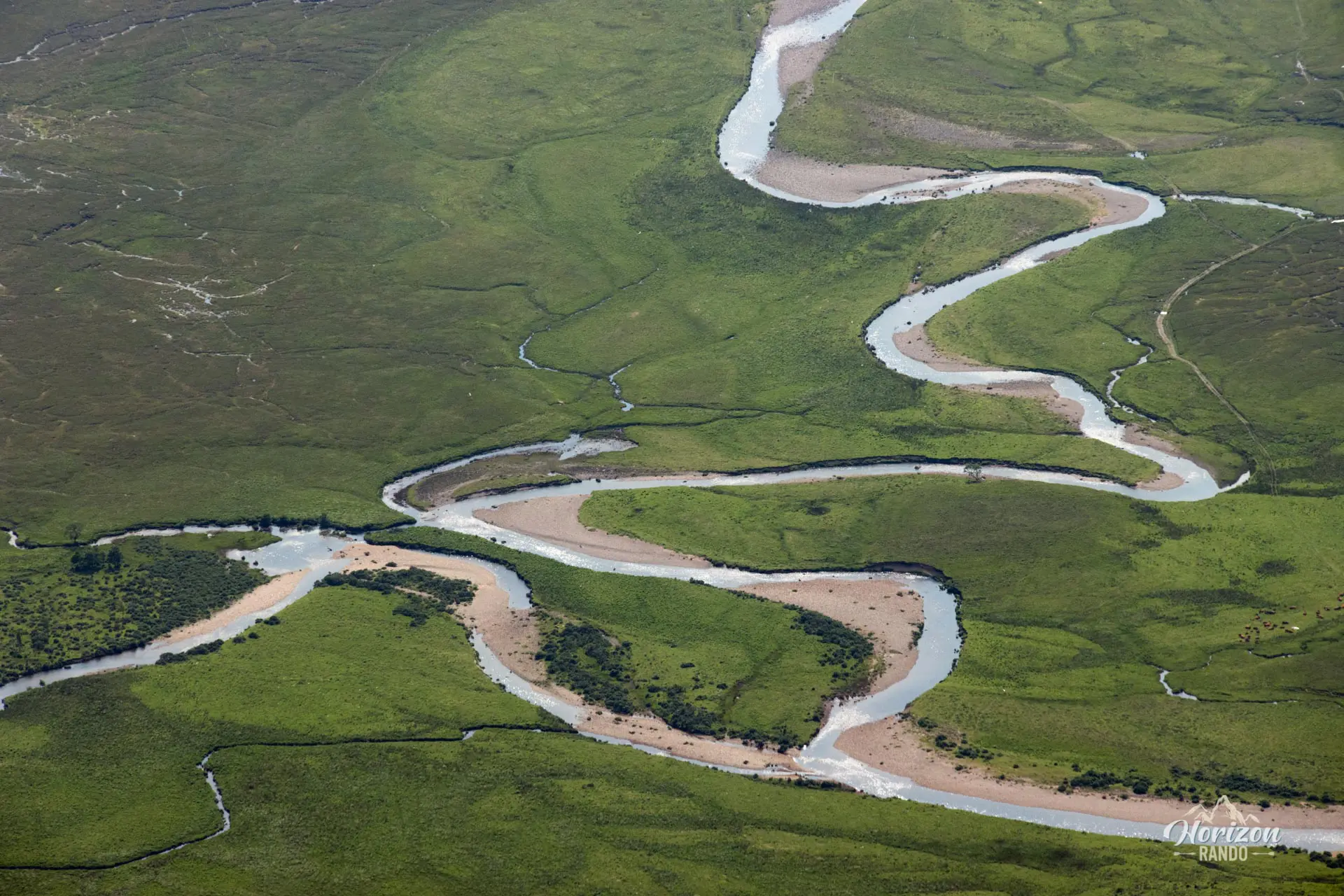
The An Teallach hike takes you to the summit of one of Scotland's most impressive mountain ranges. This route leads to two Munros, Bidein a'Glas Thuil (1,062 m) and Sgùrr Fiona (1,060 m), and provides stunning vistas of Little Loch Broom, the neighboring mountains, and the distinctive Torridonian sandstone formations.
However, this hike does not include the full traverse of the ridge and its famous pinnacles, which is reserved for very experienced hikers due to its technical and exposed nature.
Description and difficulties of the hike
This demanding hike has a total elevation gain of 1,210 meters over 14.1 kilometers. The trail is clearly visible for most of the route, though a few short sections require you to look for cairns to stay on track. I recommend following the route described here and using the map or GPX file because there are several possible routes at the start of the trail. This is the shortest route and the one that minimizes off-trail sections.
The climb gradually becomes more challenging with increasingly rocky terrain and steeper slopes as you approach the summits. The landscape becomes very rocky, alternating between scree and large Torridonian sandstone blocks, which are characteristic of the region. The climbs to the first summit, Bidein a'Glas Thuill, and to the final summit, Sgùrr Fiona, are sustained but do not present any technical difficulties.
What you'll love
- Impressive 360° panoramas: From the summits, you can admire the spectacular views of Little Loch Broom, the wild Fisherfield Mountains, and Loch Toll an Lochain, which is nestled in an impressive cirque.
- The majestic silhouette of An Teallach: As soon as you reach the first summit, you'll be amazed by the view of the sharp ridges and vertiginous pinnacles that seem insurmountable.
- Torridonian sandstone: Admire these reddish-brown rock formations, which are characteristic of the northwestern Highlands and are evidence of geology dating back hundreds of millions of years.
Hike technical sheet
➡️ Hiking parameters
➡️ Hiking parameters
➡️ Hiking parameters
Map and elevation profile of the hike
Slideshow


Nearby hikes

Ben More Coigach Hike
- Difficulty : Hard
- Duration : 6 h
- Distance : 11.2 km
- Elevation gain : 910 m

Stac Pollaidh Hike
- Difficulty : Easy / Moderate
- Duration : 3 h
- Distance : 3.8 km
- Elevation gain : 490 m

Knockan Crag Hike
- Difficulty : Very easy
- Duration : 1 h 15
- Distance : 1.9 km
- Elevation gain : 130 m

Cùl Mòr Hike
- Difficulty : Hard
- Duration : 6 h
- Distance : 14.1 km
- Elevation gain : 850 m
Map of the 10 closest hikes
Hikes to discover
Let chance guide your steps: discover a random selection of the best hikes in Scotland.

Sgùrr na Stri Hike
- Difficulty : Hard
- Duration : 5 h 30
- Distance : 13 km
- Elevation gain : 710 m

Arkle Hike
- Difficulty : Hard
- Duration : 7 h 30
- Distance : 17.9 km
- Elevation gain : 950 m

Bidean Nam Bian Hike
- Difficulty : Hard
- Duration : 7 h
- Distance : 12 km
- Elevation gain : 1320 m

Blà Bheinn Hike
- Difficulty : Hard
- Duration : 5 h
- Distance : 8.5 km
- Elevation gain : 940 m

Beinn Dearg Mhór Hike
- Difficulty : Hard
- Duration : 5 h 30
- Distance : 11.3 km
- Elevation gain : 910 m

Buachaille Etive Mòr Hike
- Difficulty : Hard
- Duration : 7 h 30
- Distance : 14.4 km
- Elevation gain : 1150 m