






The Old Man of Storr Hike
Key facts about the hike
- Difficulty
- Easy Hikes are rated from very easy to very hard: my difficulty scale
- Duration
- 2h Estimated time, short breaks included (photos, water, snacks), picnic not included: how it is calculated
- Distance
- 4.3km
- out and back
- Elevation gain
- 350m
- Type of route
- Out and back
- Maximum altitude
- 504 m
- Vertiginous Five levels, depending on how exposed the route is: the levels in detail
- No
- Marked
- No
- Popularity
- High
- Region
- Isle of Skye
- Start point
- 57.49893, -6.15876
- Activity
- Hiking
Hike overview
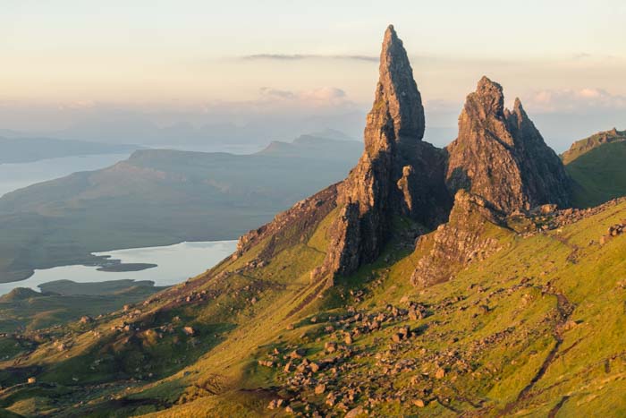
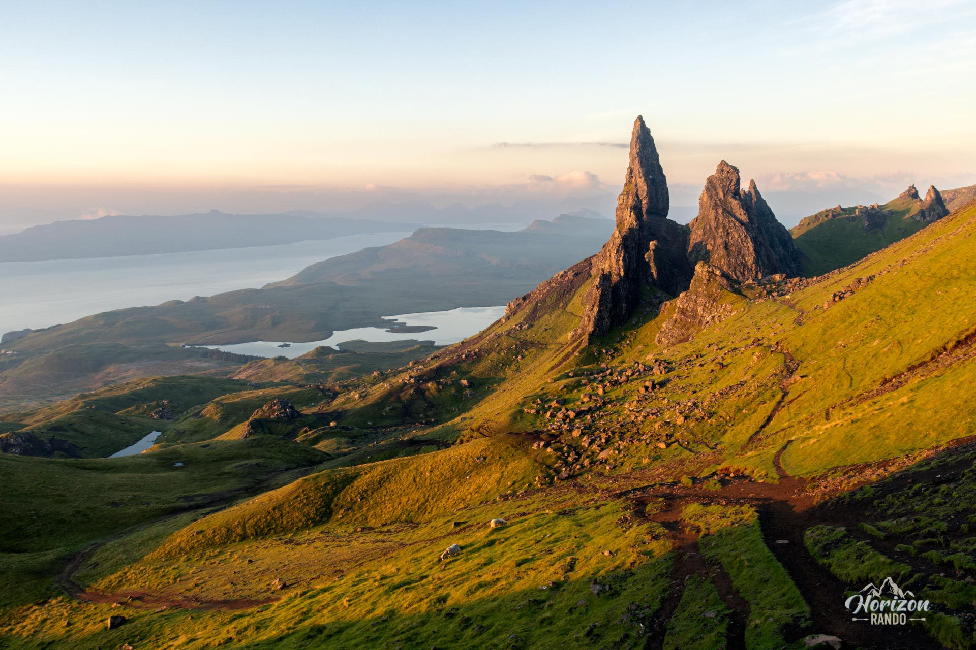
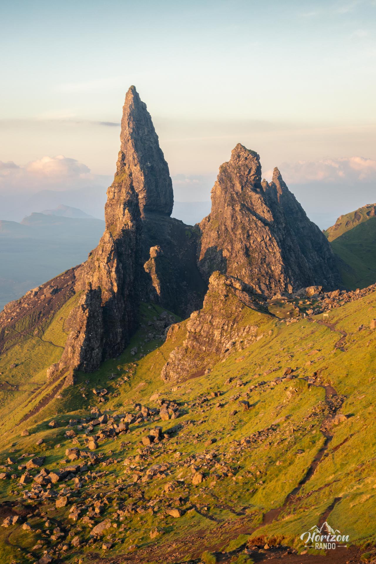
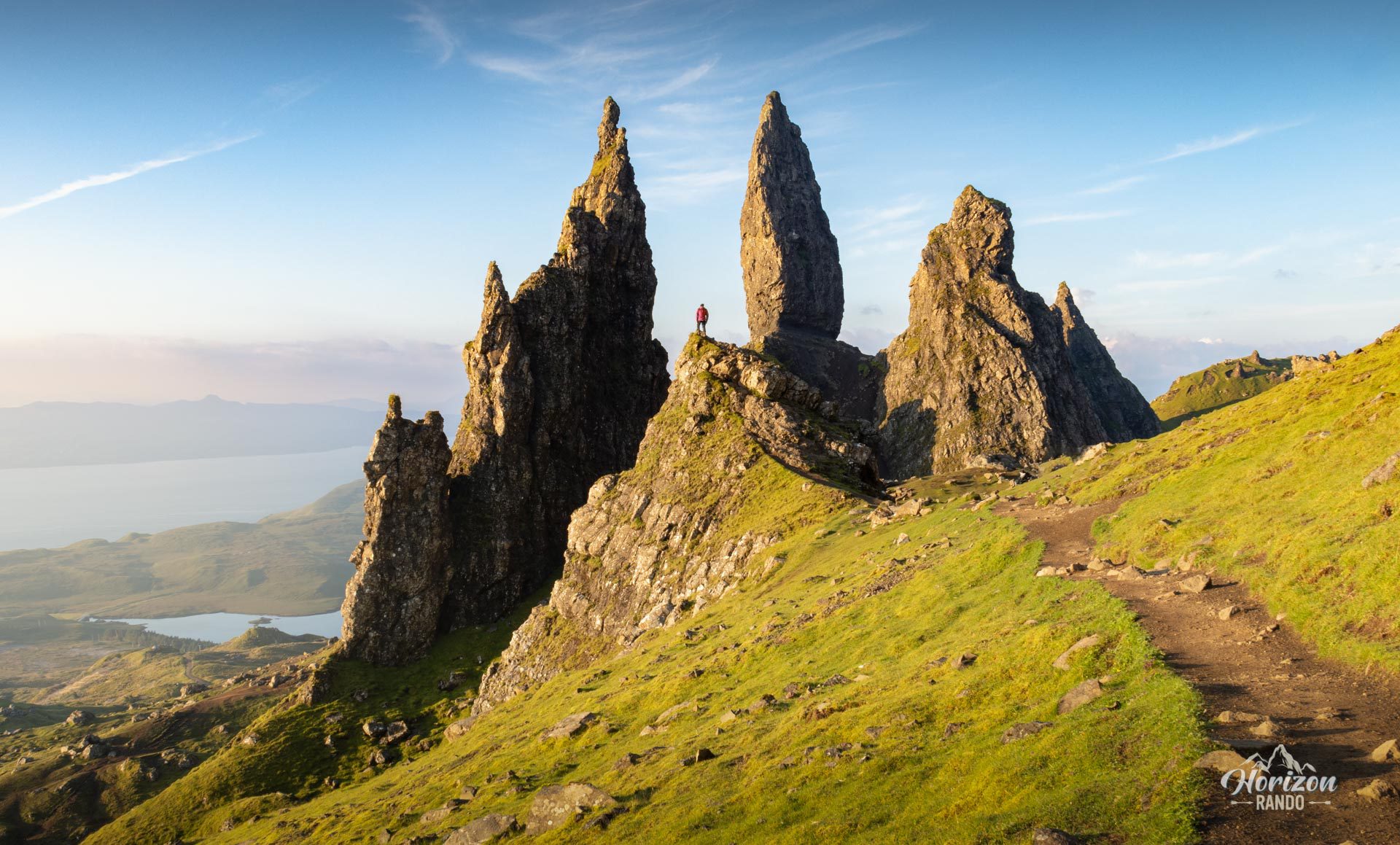
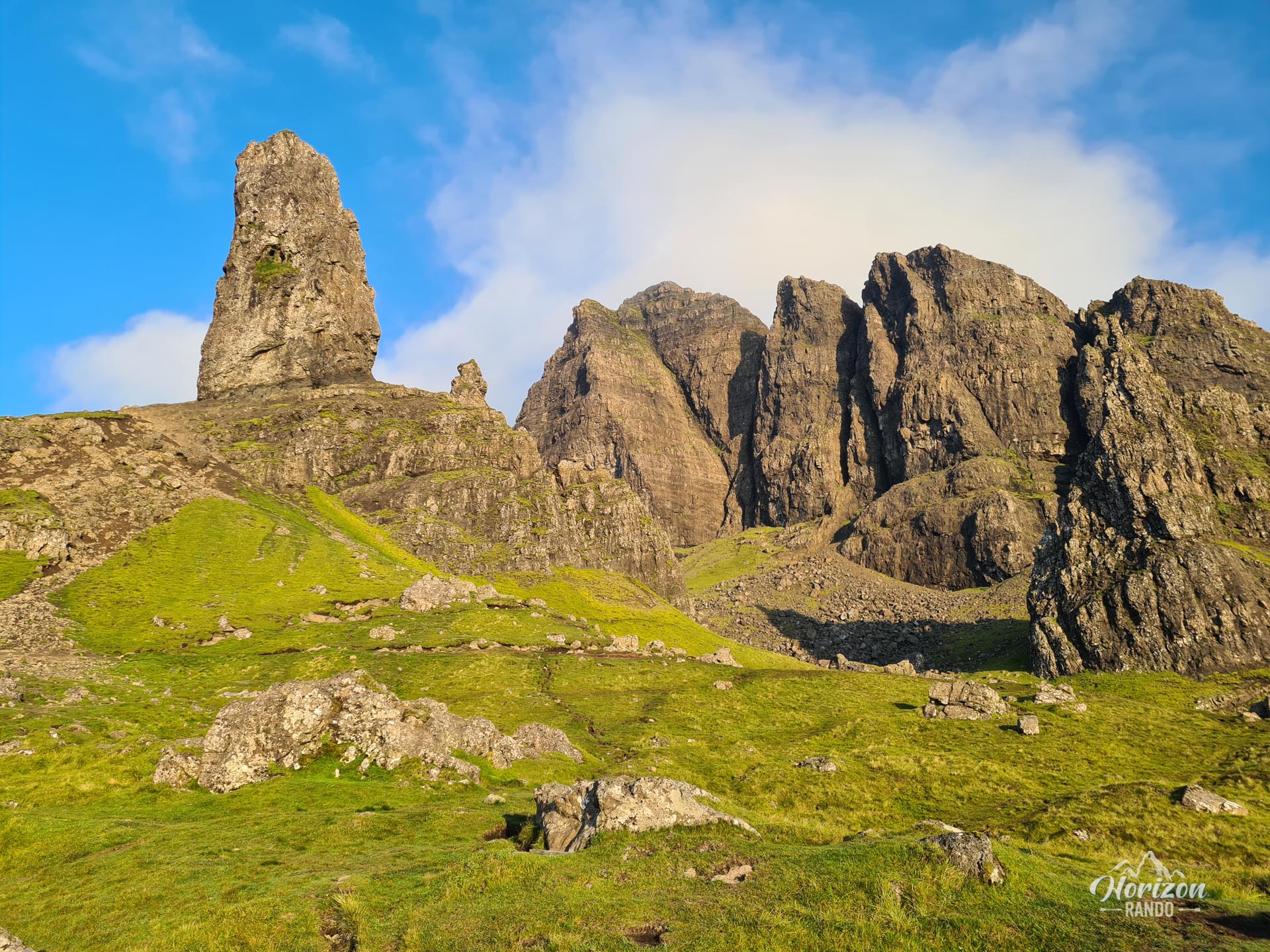
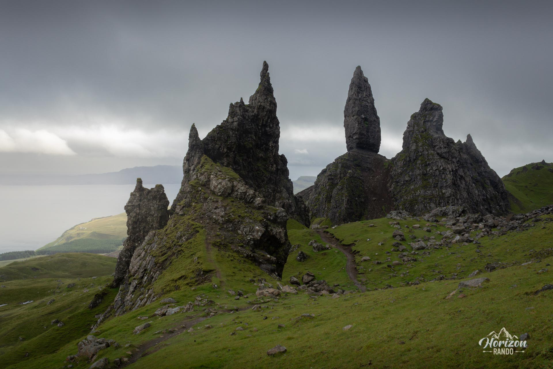
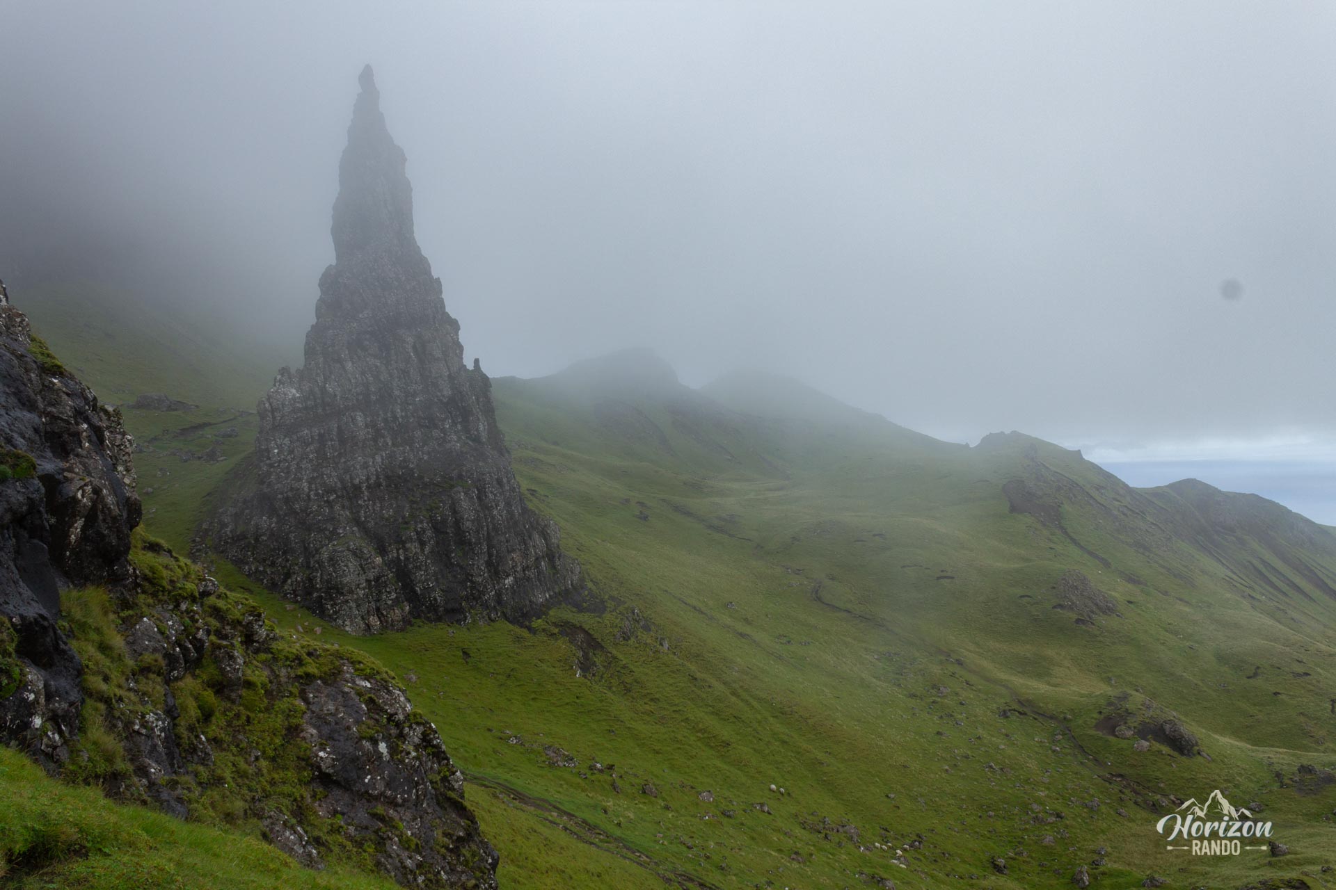
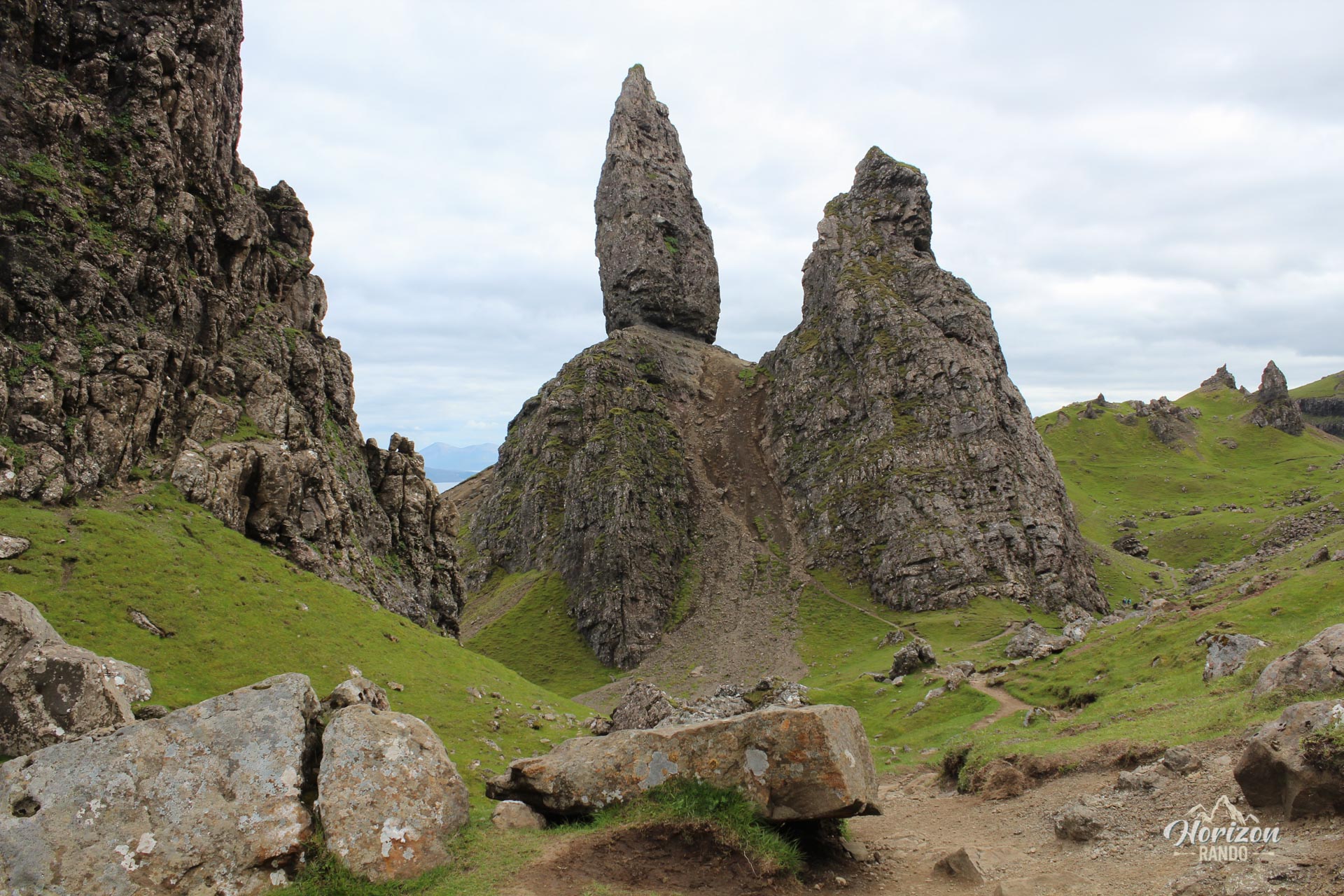
The Old Man of Storr hike is undoubtedly one of the most iconic on the Isle of Skye, attracting over 200,000 visitors each year. The route leads to the Sanctuary, a spectacular group of rock formations dominated by the Old Man, a 55-meter-high pinnacle which resulted from landslides 60 million years ago.
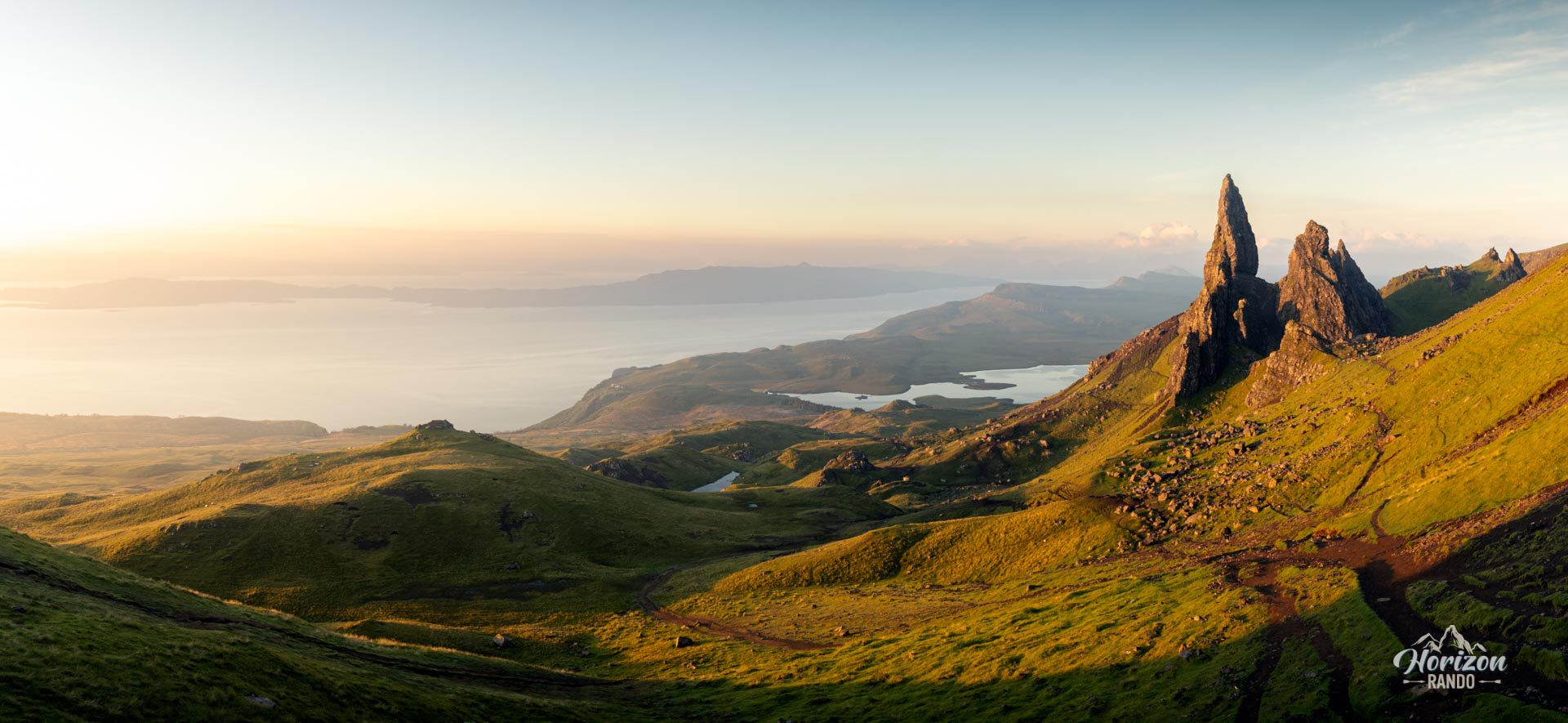
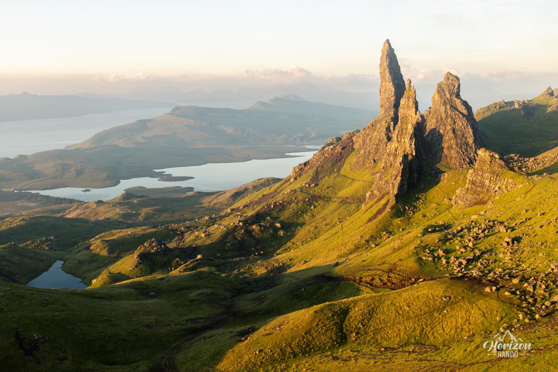
Hikers are rewarded with sublime scenery and breathtaking views of the island of Raasay, the Applecross Peninsula, and the Trotternish Ridge for a moderate effort.
Map and elevation profile of the hike
The Old Man of Storr Hike
Difficulties of the hike
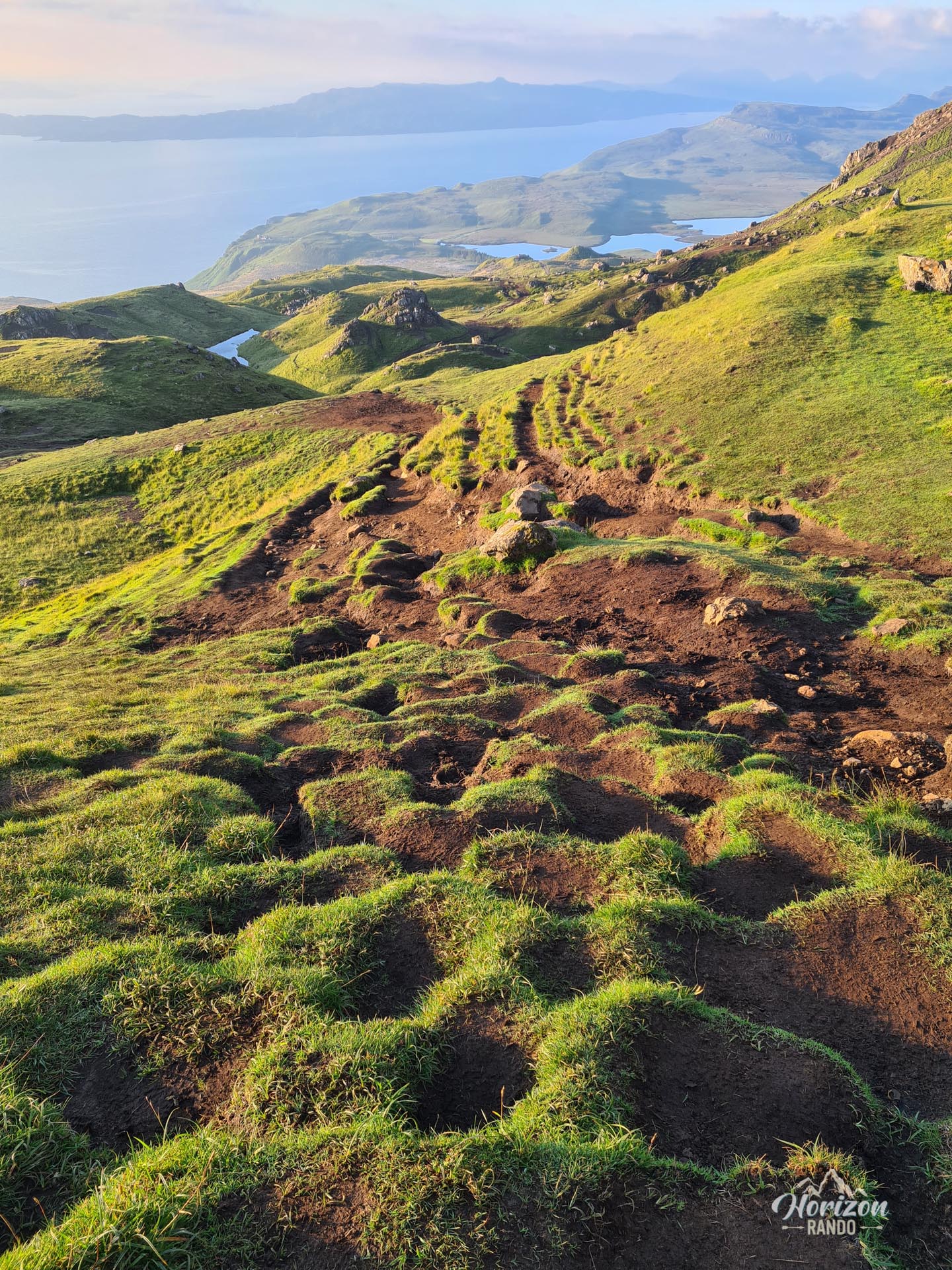
The hike is short and does not present any major technical difficulties. In recent years, significant work has been done to improve the trail: what was once a muddy path is now mainly gravel.
As you approach the geological formations, the terrain gradually becomes rockier and more rugged, with a steeper gradient. Although the route is not marked, it is easy to find your way: the trail is clearly visible, and you can follow the other hikers.
What you'll love
- Extraordinary panoramic views from the platform of the spectacular rock formations of the Sanctuary, Loch Leathan, the Trotternish Ridge, and the silhouette of the mainland mountains.
- Exploring the Sanctuary, home to impressive geological formations such as the Old Man, the Cathedral, and Needle Rock.
Practical information
Parking
There is a large paid parking lot at the trailhead with restrooms and bike storage (indicative price in 2025: £5 for up to 6 hours).
Helpful tip
To avoid the crowds and fully enjoy the experience, arrive early in the morning (before 8:00–9:00 a.m.) or late in the afternoon.
Photos
See all 11 photos →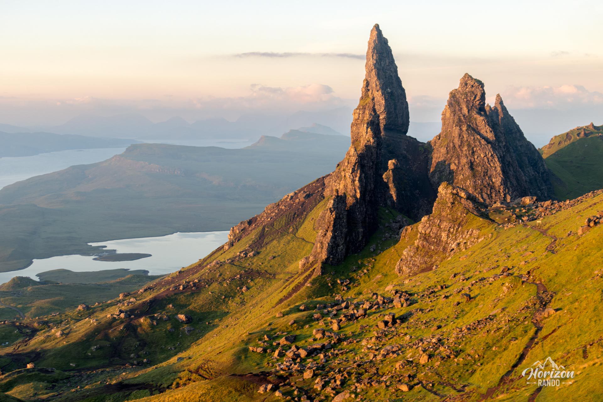
More hikes to do in Scotland
Nearby hikes






Printed from www.horizonrando.fr/en/scotland/old-man-of-storr/