





Bioda Buidhe Hike
Key facts about the hike
- Difficulty
- Easy Hikes are rated from very easy to very hard: my difficulty scale
- Duration
- 2h15 Estimated time, short breaks included (photos, water, snacks), picnic not included: how it is calculated
- Distance
- 4.6km
- out and back
- Elevation gain
- 290m
- Type of route
- Out and back
- Maximum altitude
- 466 m
- Vertiginous Five levels, depending on how exposed the route is: the levels in detail
- Slightly
- Marked
- No
- Popularity
- Very low
- Region
- Isle of Skye
- Start point
- 57.62814, -6.29043
- Activity
- Hiking
Hike overview
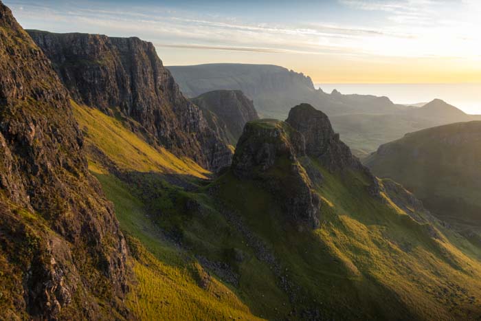
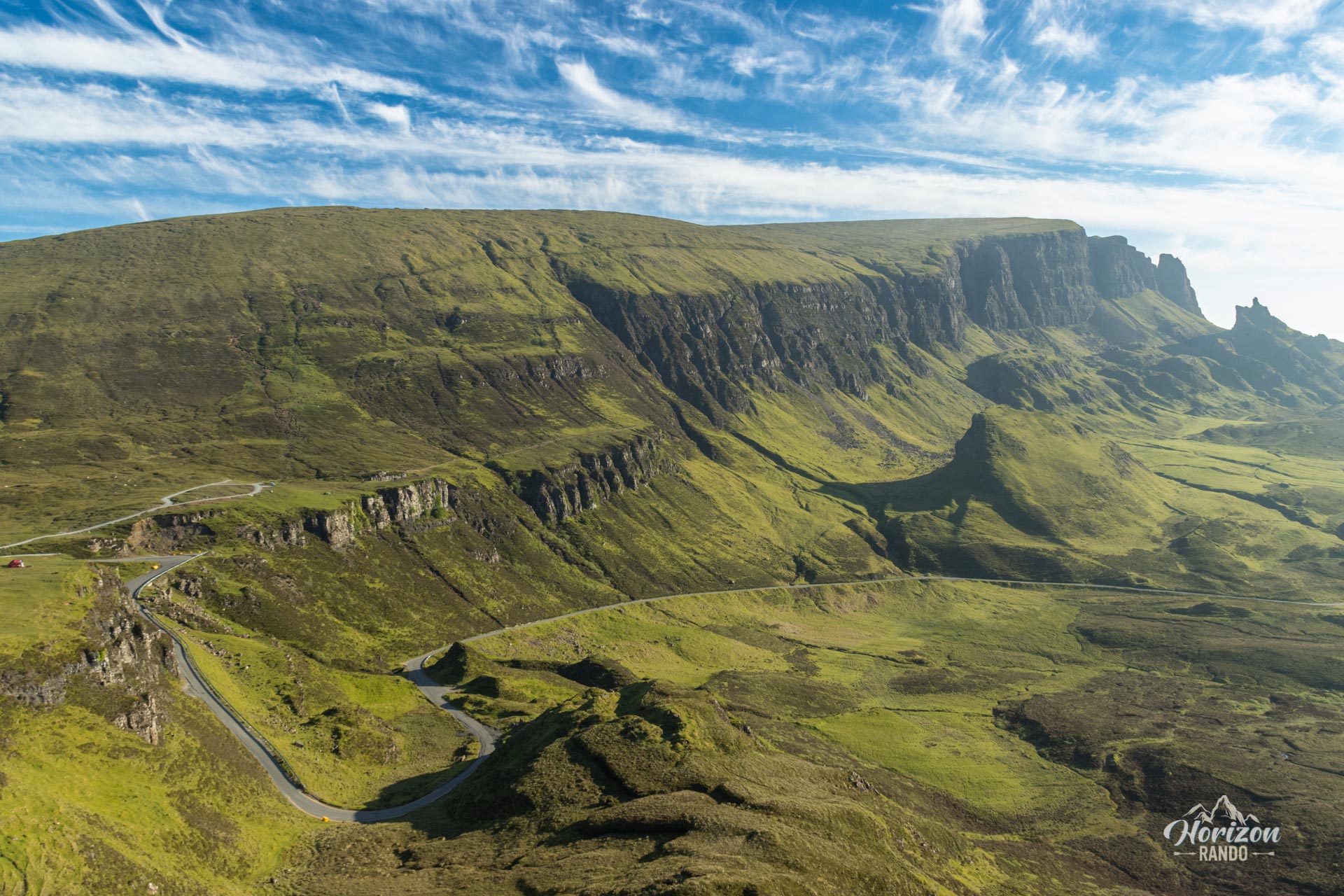
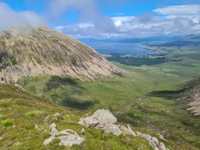
The Bioda Buidhe hike is a lesser-known alternative to the popular Quiraing trail on the Isle of Skye. Starting from the same location on the spectacular Trotternish Ridge, this modest 466-meter peak offers a radically different experience. While nearly all visitors head north toward the Quiraing, the Bioda Buidhe trail promises exceptional views in complete solitude.
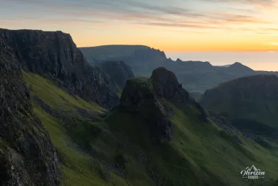
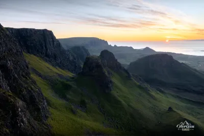
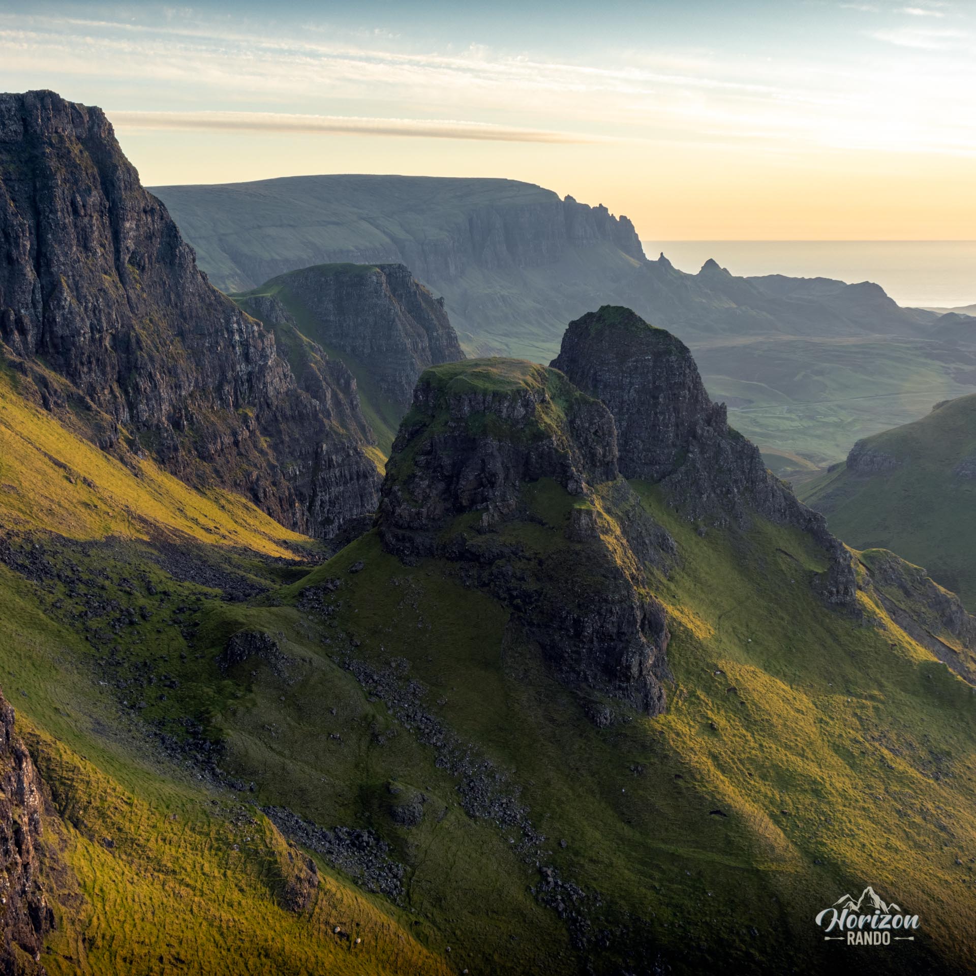
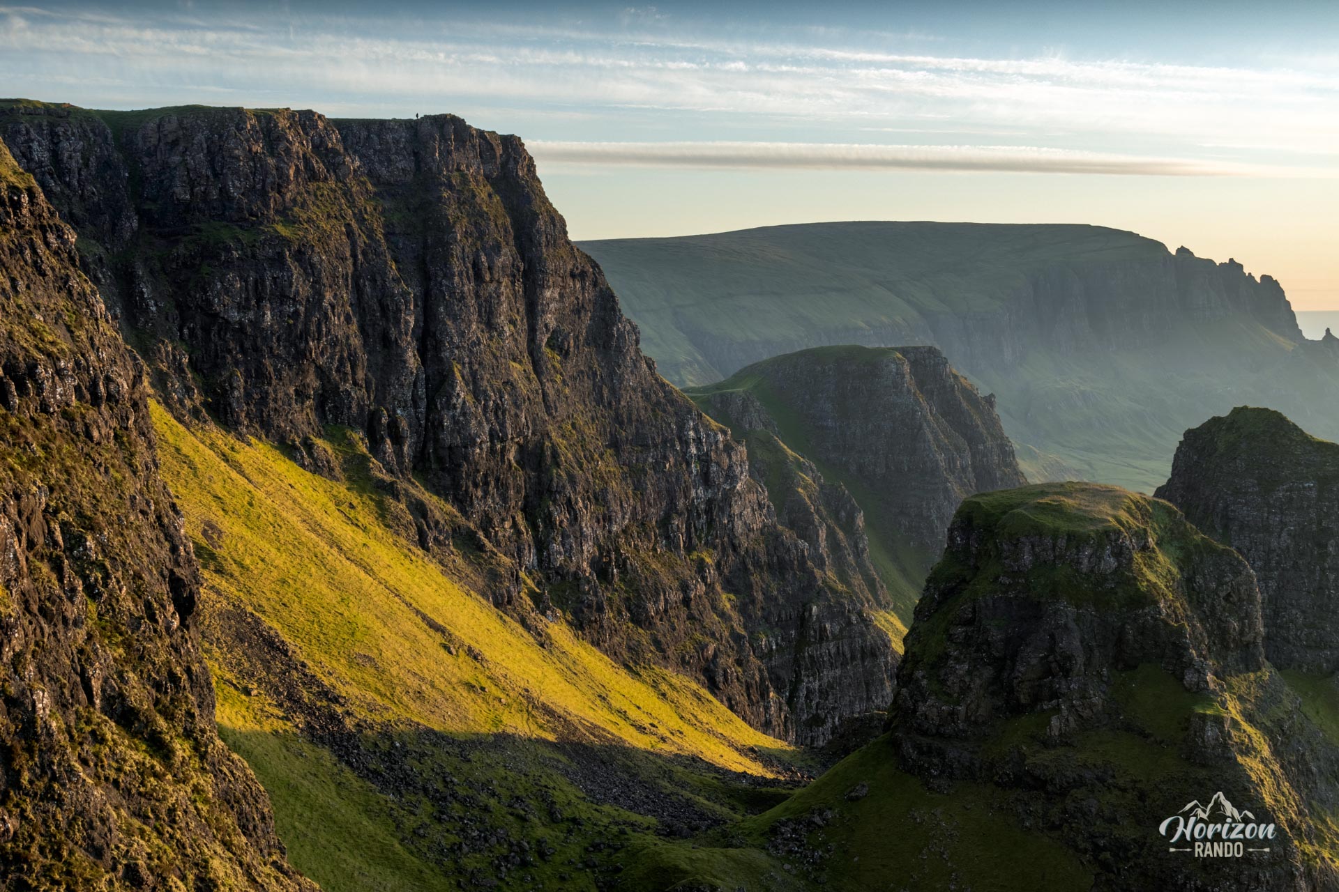
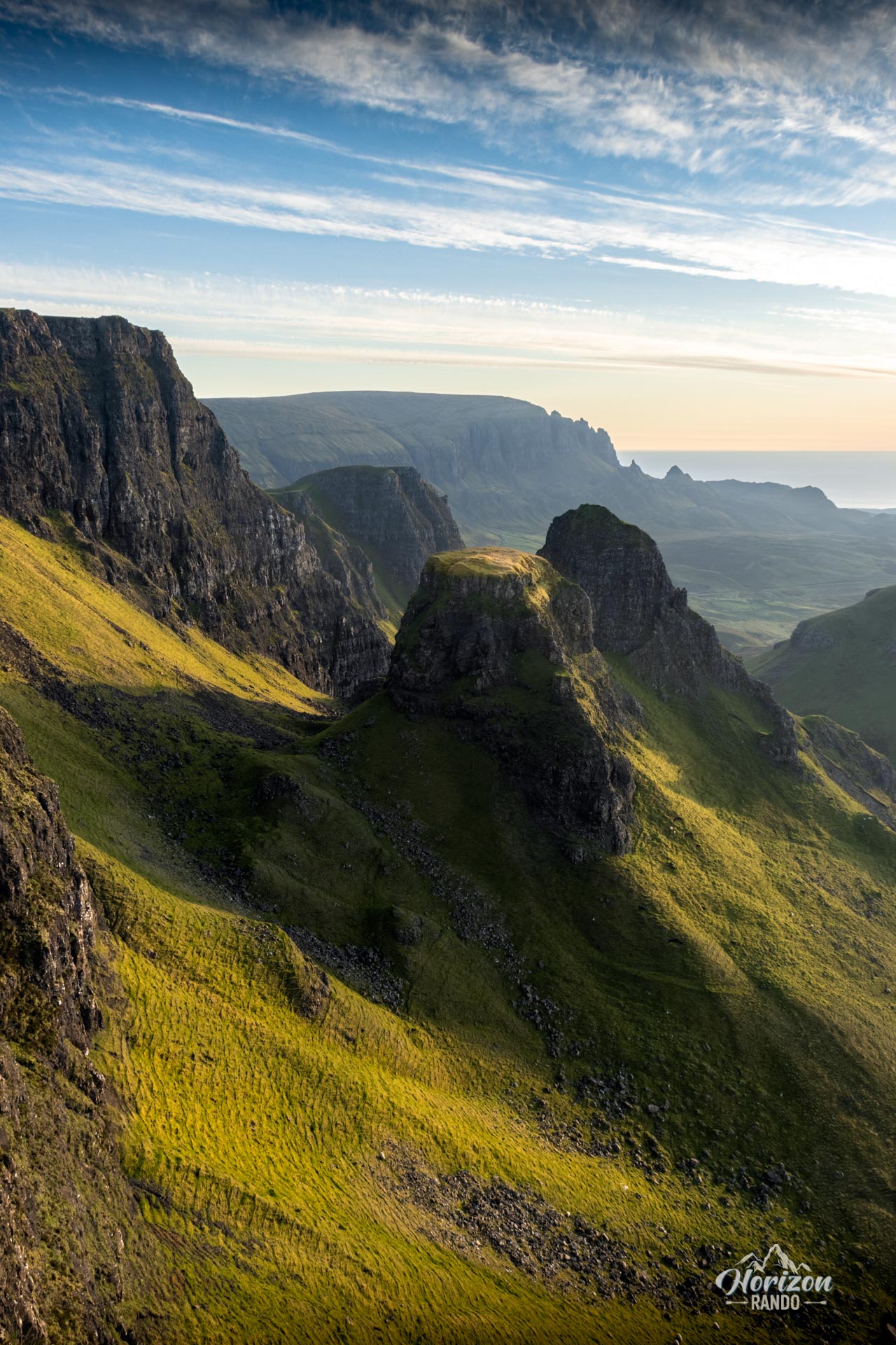
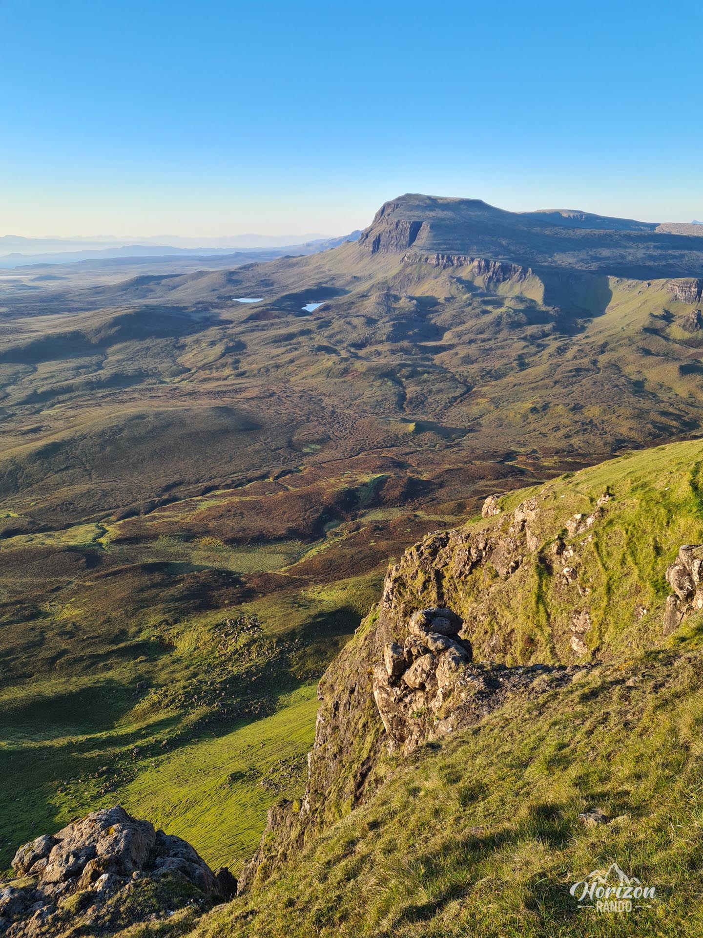
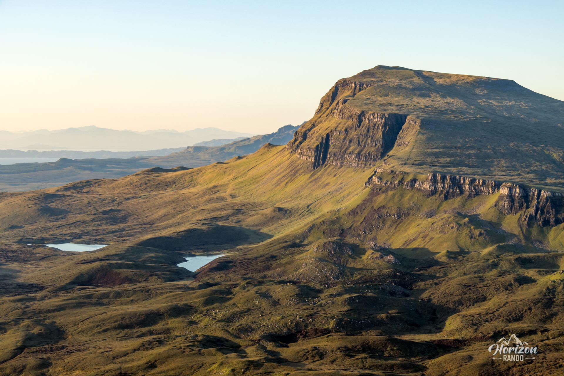
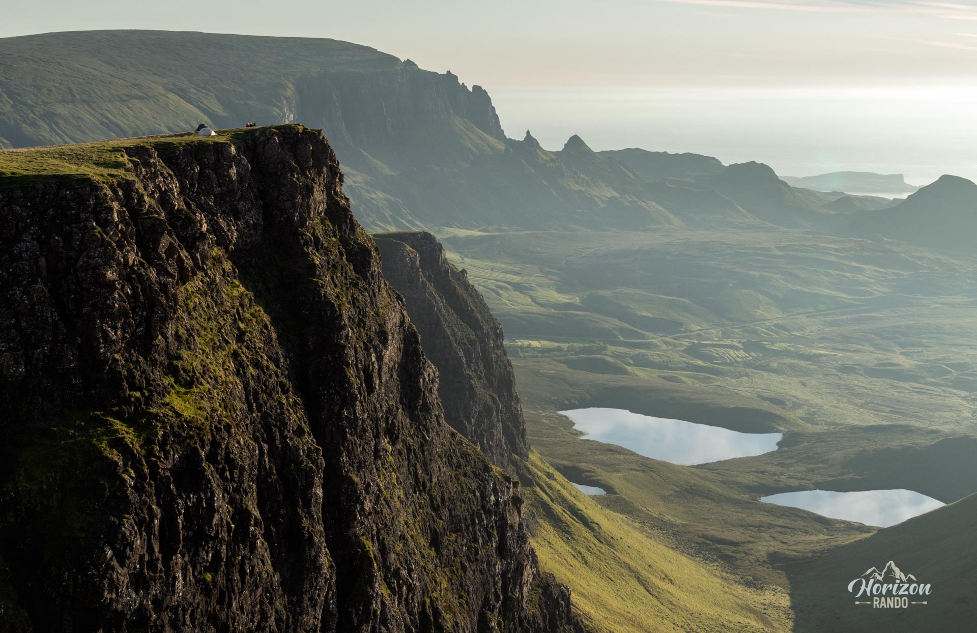
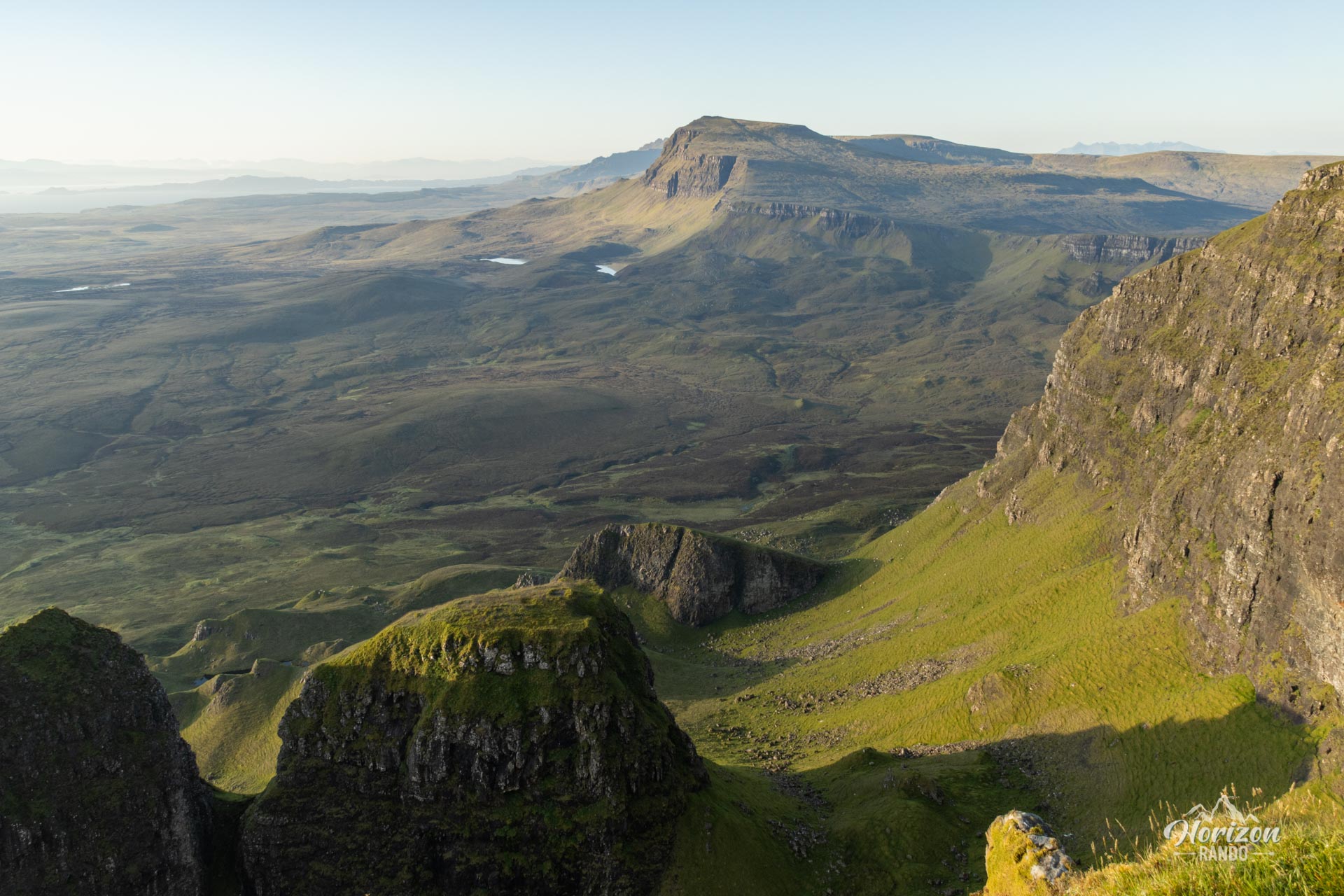
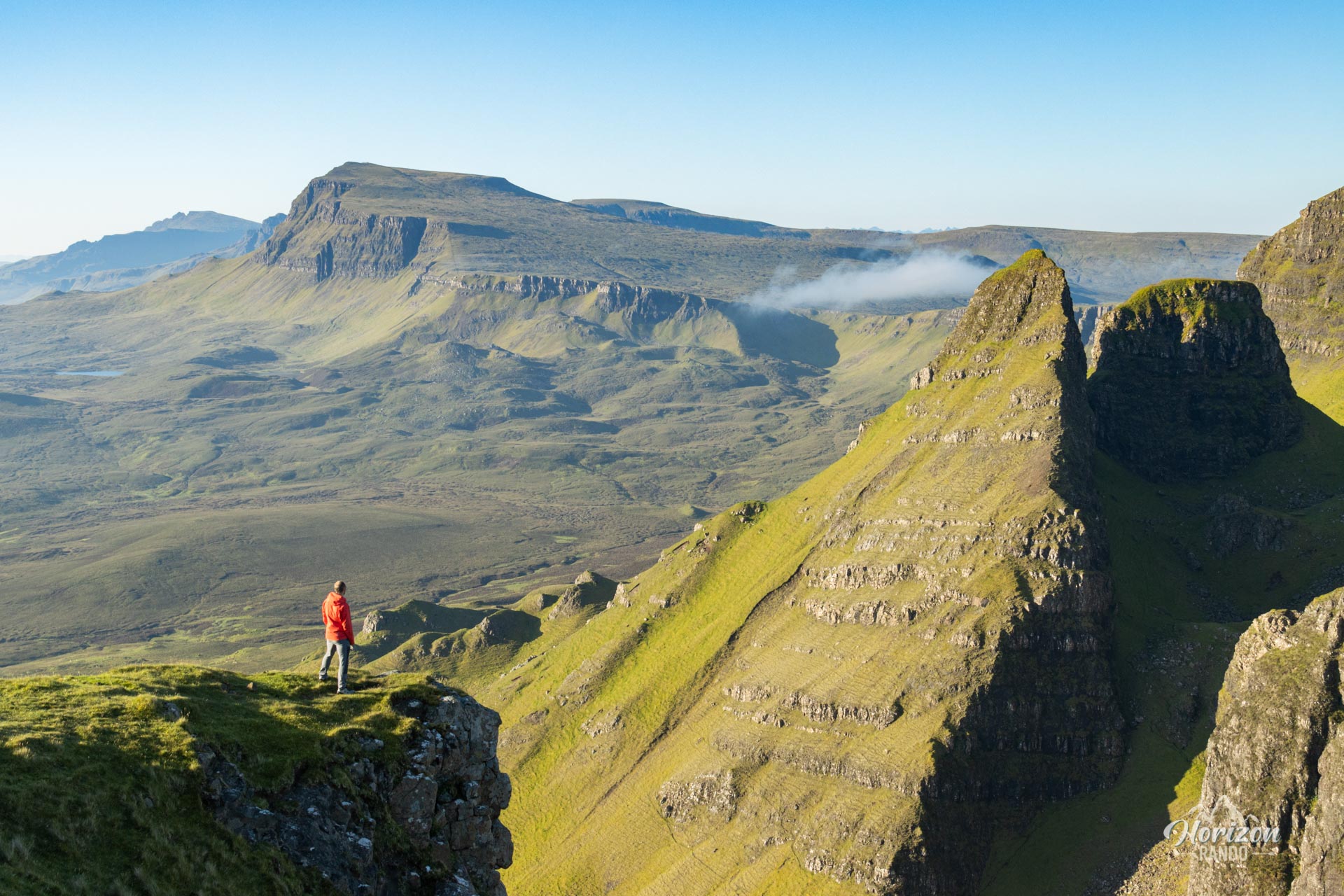
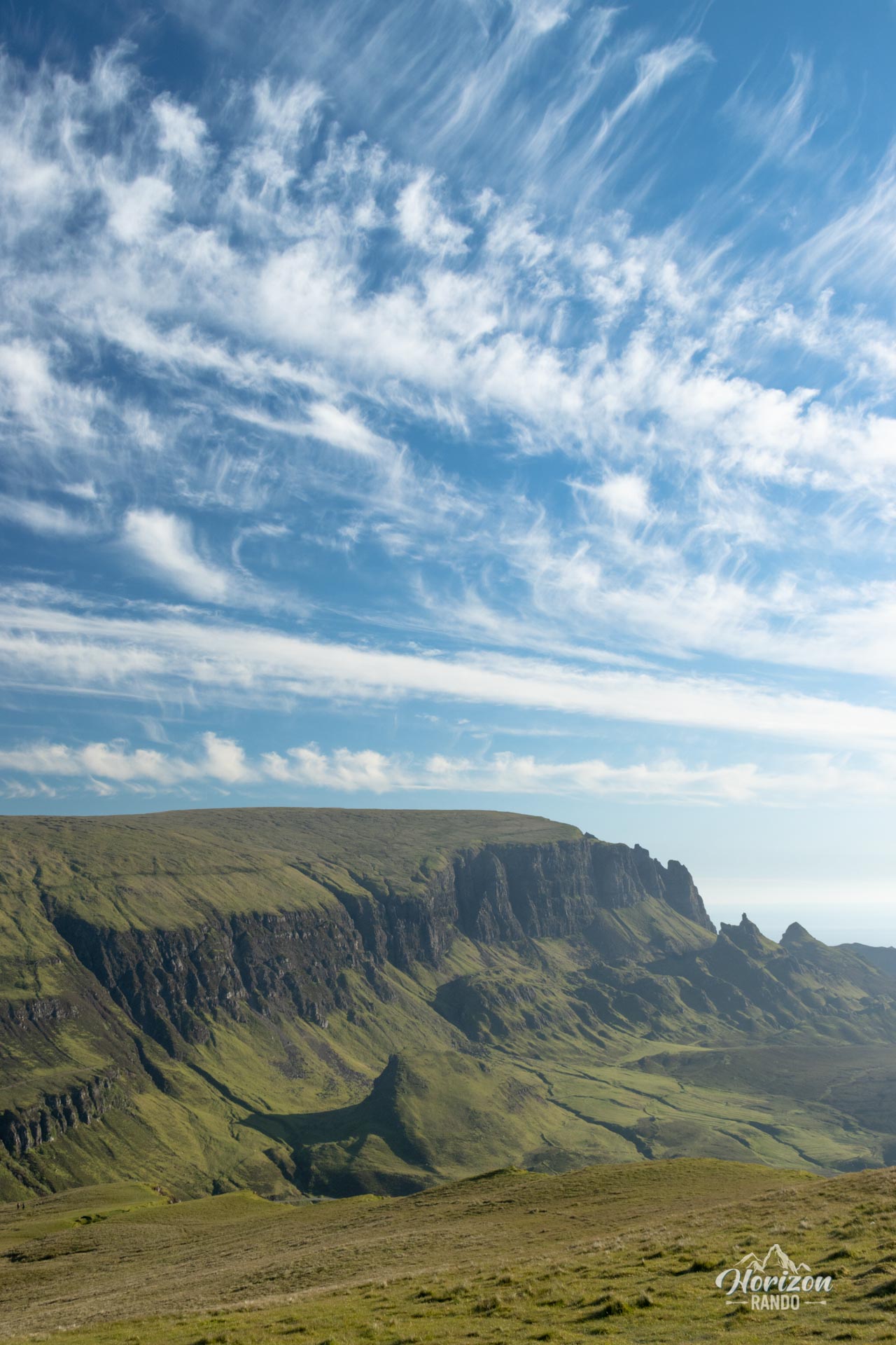
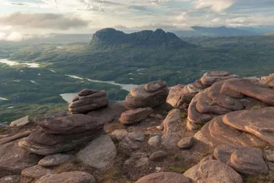
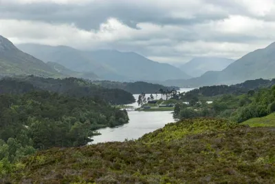
The route winds along the escarpment, revealing breathtaking views of various geological formations, lochs, and sea vistas.
Map and elevation profile of the hike
Bioda Buidhe Hike
Difficulties of the hike
This route is accessible to most people. The terrain consists mainly of relatively gentle, grassy slopes. Although the trail is well marked at the start, it gradually fades as you approach the summit. However, it is easy to find your way in clear weather thanks to the obvious topography of the ridge, which naturally guides your progress.
What you'll love
- Exceptional panoramic views: Enjoy a 360-degree spectacle of numerous geological formations, lochs, the sea, and the Trotternish Ridge stretching south toward the famous Old Man of Storr.
- Remarkable isolation: Unlike the overcrowded Quiraing, you'll enjoy rare tranquility and often encounter more sheep than hikers.
- A short but rewarding hike: At only two hours long, this route offers an excellent effort-to-reward ratio.
Practical information
Parking
Paid parking is available at the start and is shared with the Quiraing. Indicative price in 2025: £5 per car for six hours. In high season, arrive early, as the parking lot can fill up by midday.
Extension
The Quiraing, located north of the parking lot, is also a magnificent hike. You can easily complete both routes in one day to fully explore this exceptional area of Trotternish.
Bonus viewpoint
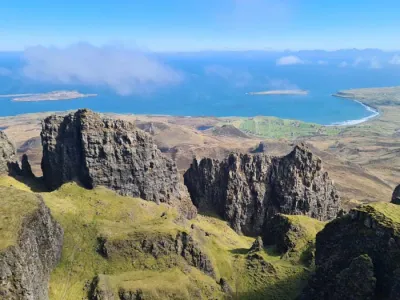
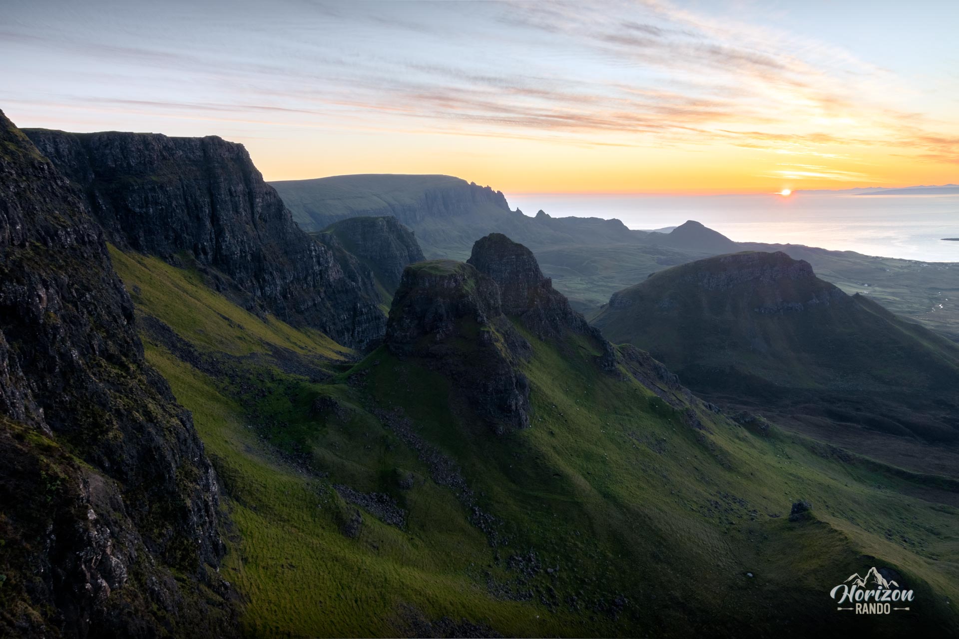
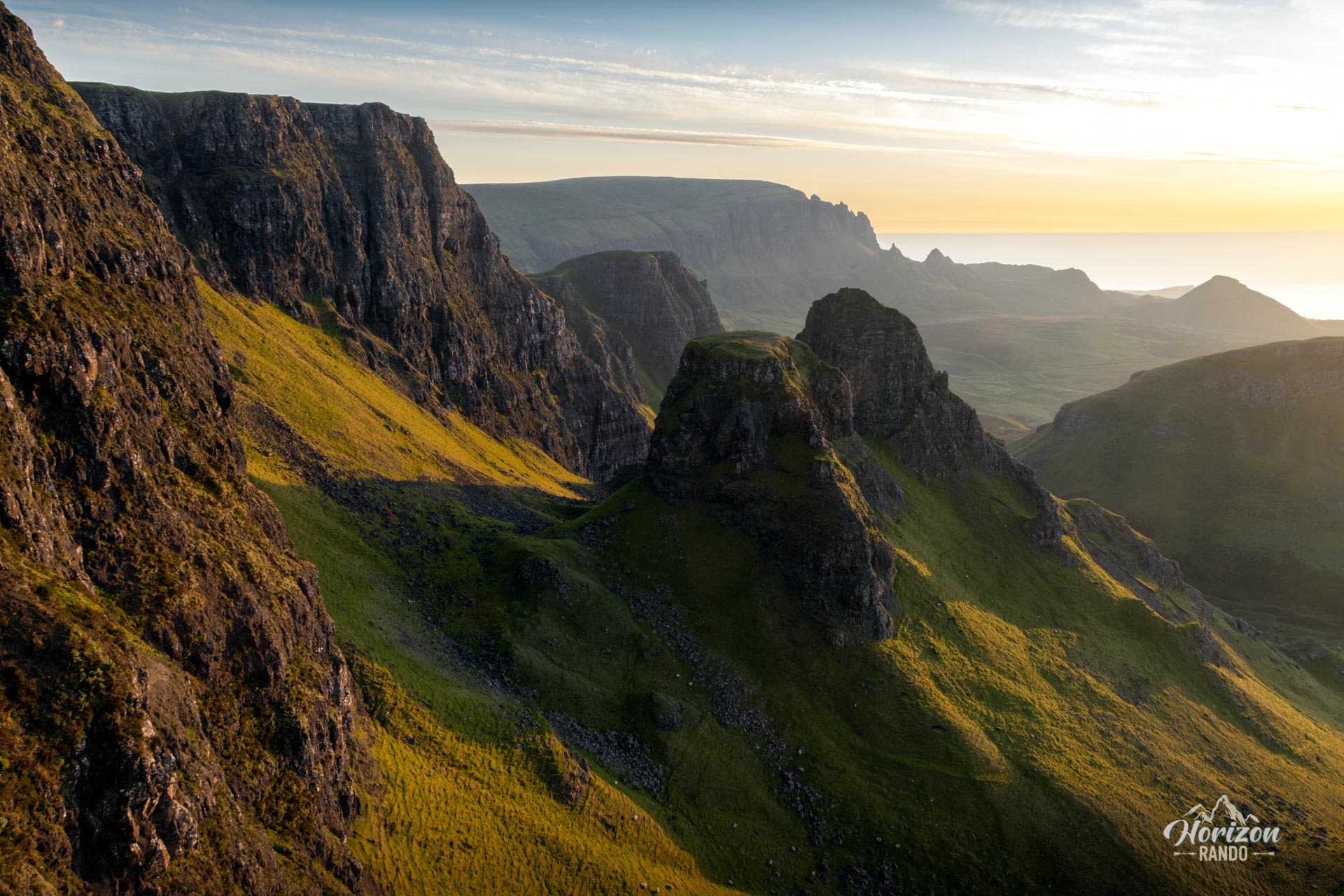
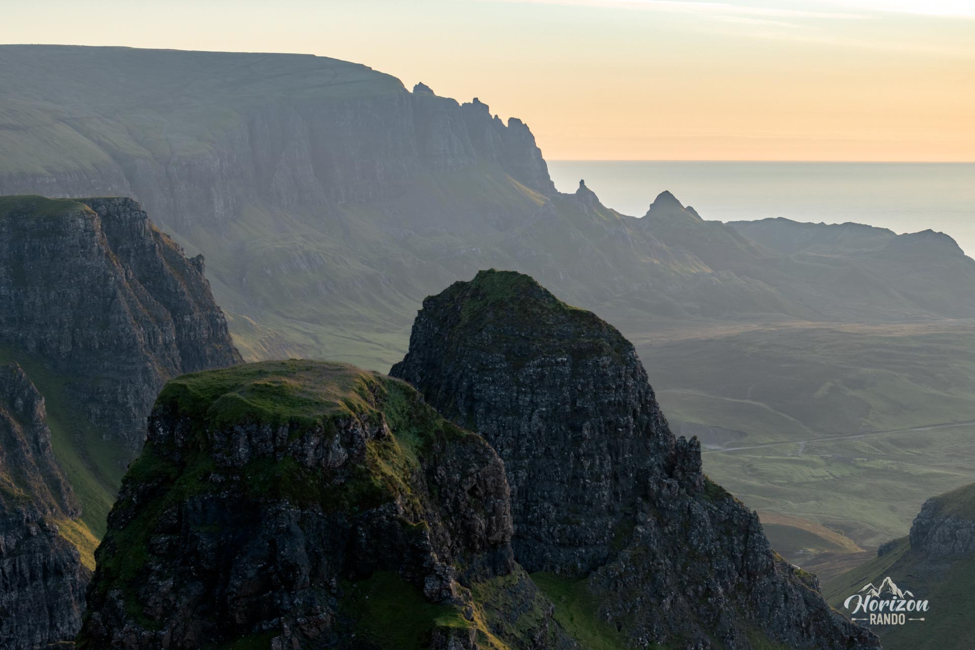
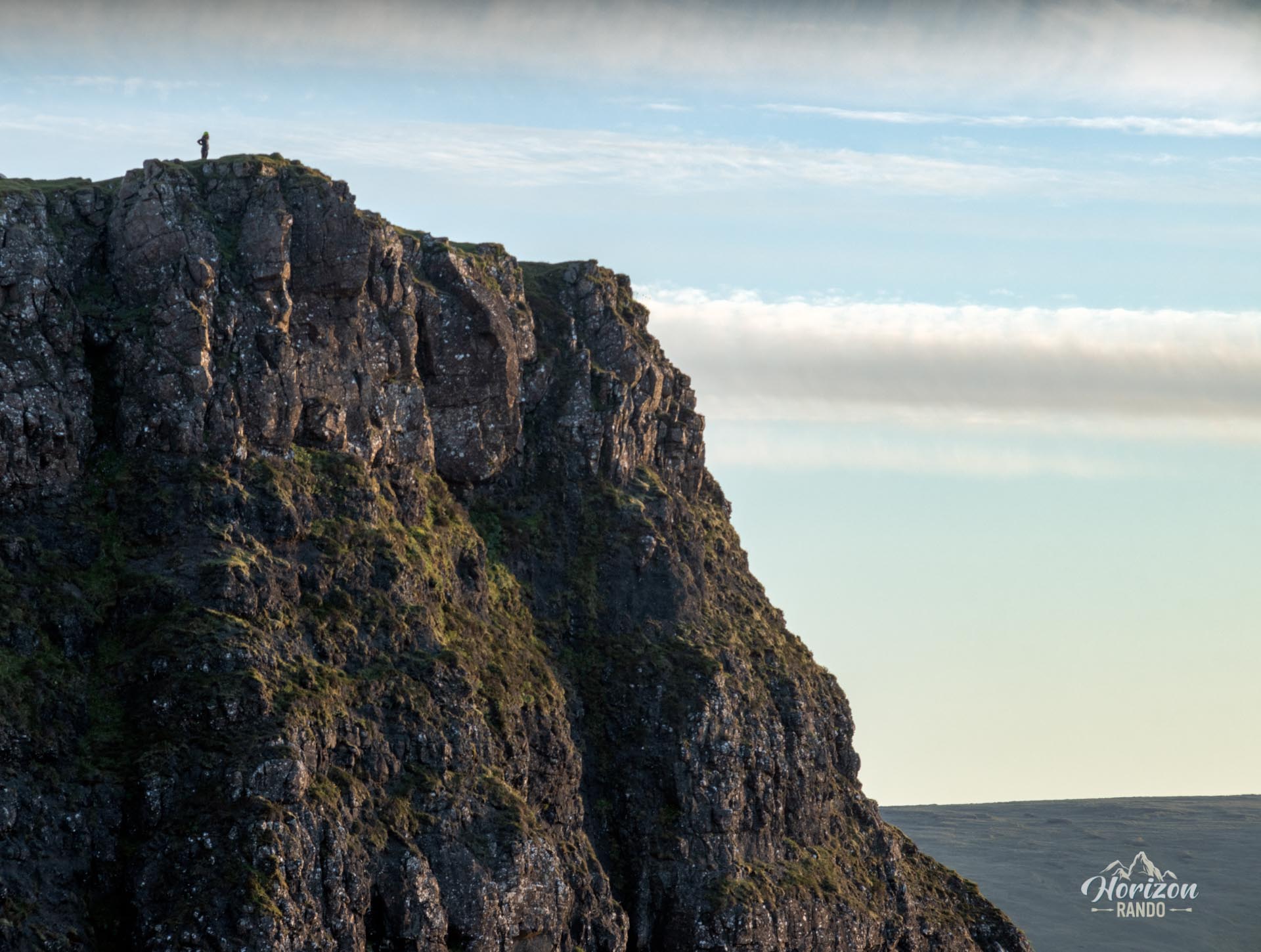
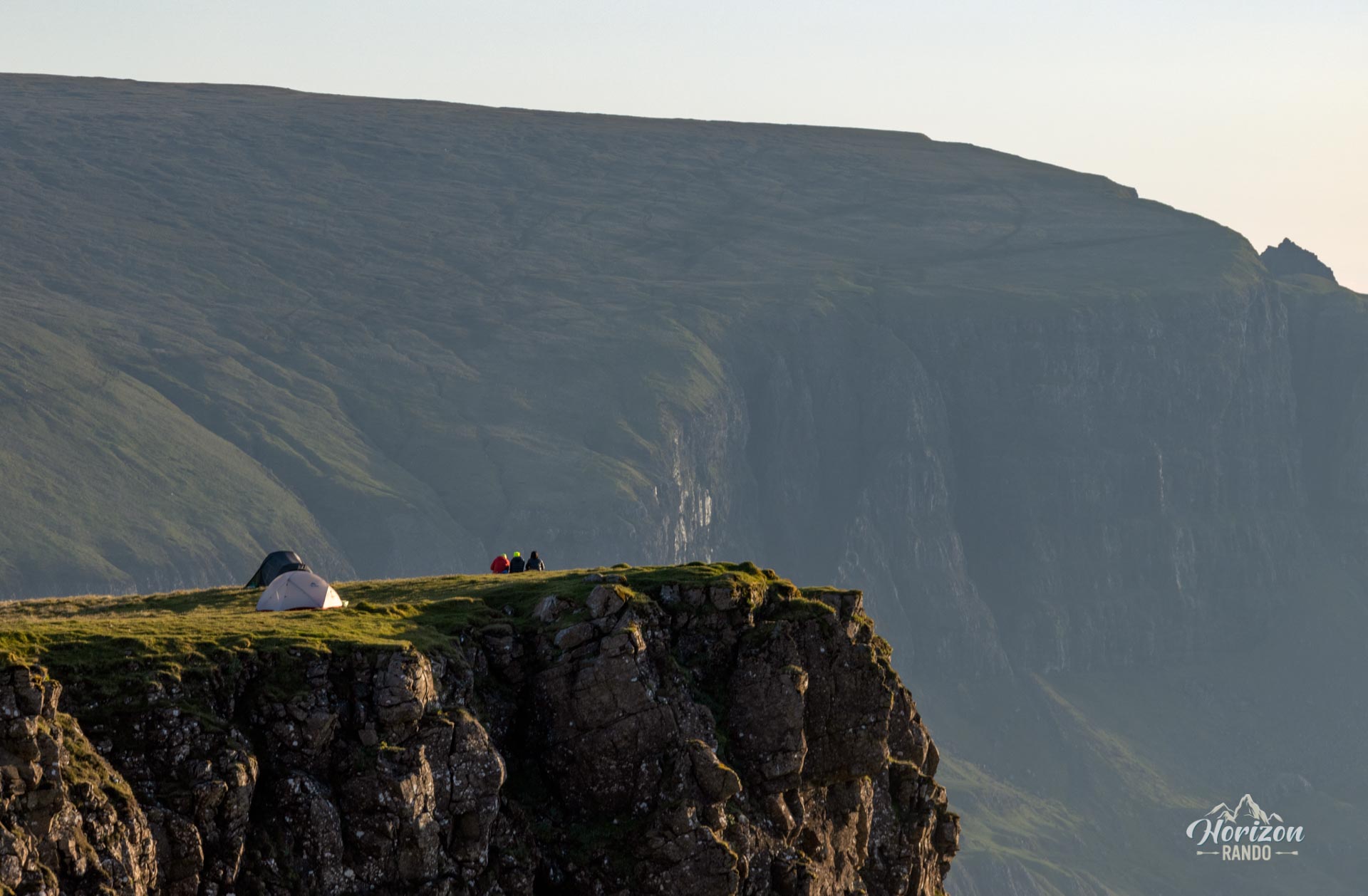
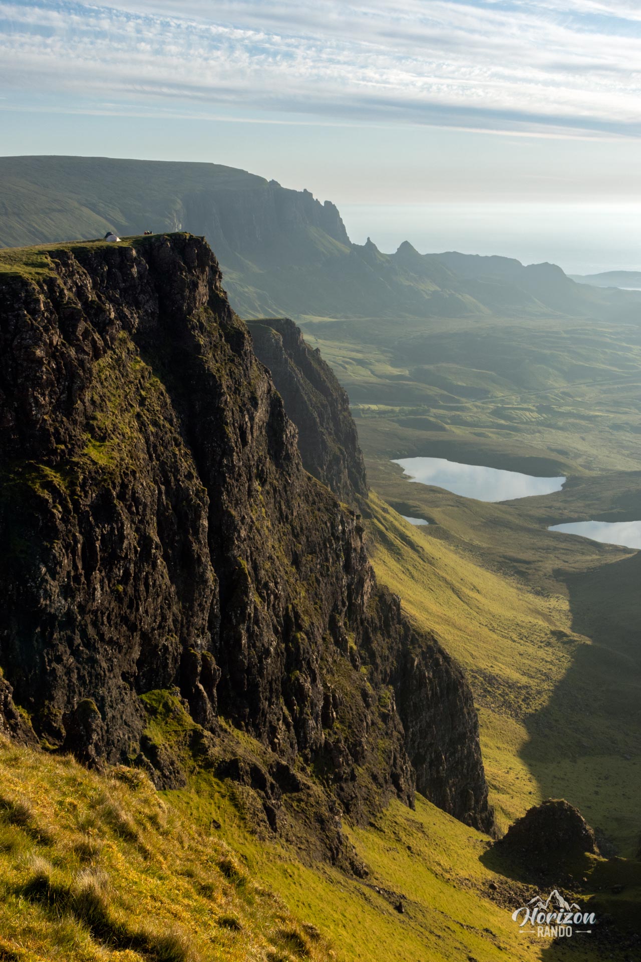
I highly recommend continuing a few hundred meters beyond the Bioda Buidhe summit (see the route on the map). This area has the most impressive views of the hike, especially of the rock formations below.
Photos
See all 17 photos →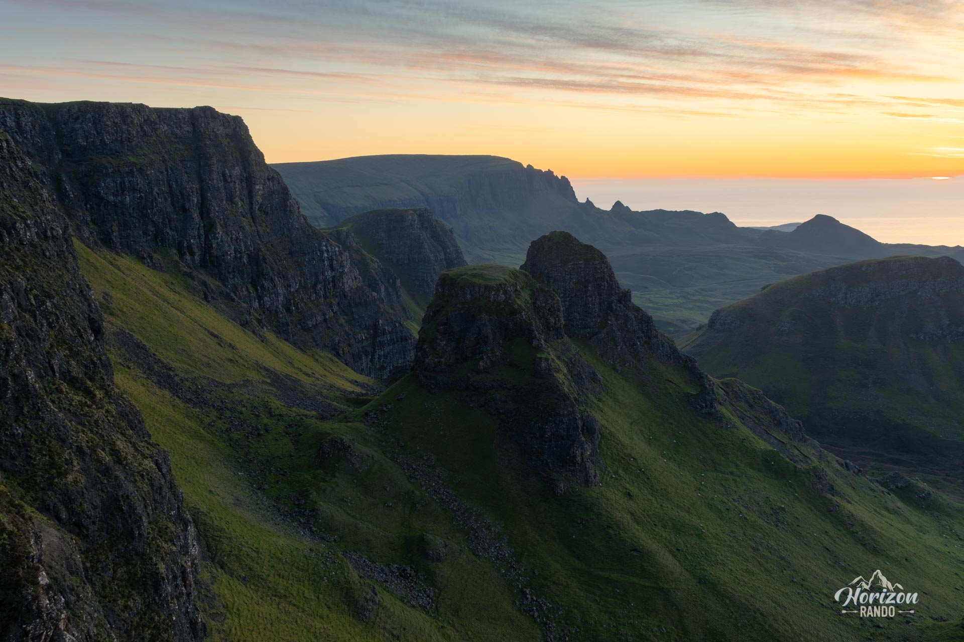
More hikes to do in Scotland
Nearby hikes


Printed from www.horizonrando.fr/en/scotland/bioda-buidhe/