





Neist Point Hike
Key facts about the hike
- Difficulty
- Very easy Hikes are rated from very easy to very hard: my difficulty scale
- Duration
- 1h15 Estimated time, short breaks included (photos, water, snacks), picnic not included: how it is calculated
- Distance
- 2.6km
- out and back
- Elevation gain
- 120m
- Type of route
- Out and back
- Maximum altitude
- 90 m
- Vertiginous Five levels, depending on how exposed the route is: the levels in detail
- No
- Marked
- No
- Popularity
- High
- Region
- Isle of Skye
- Start point
- 57.42953, -6.77917
- Activity
- Hiking
Hike overview
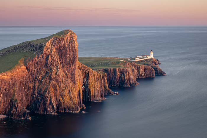
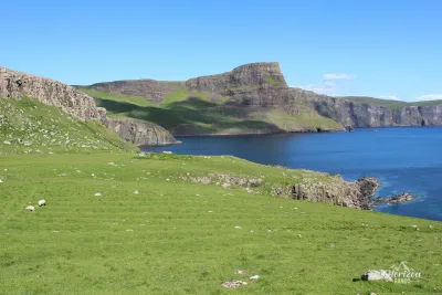
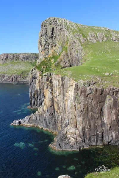
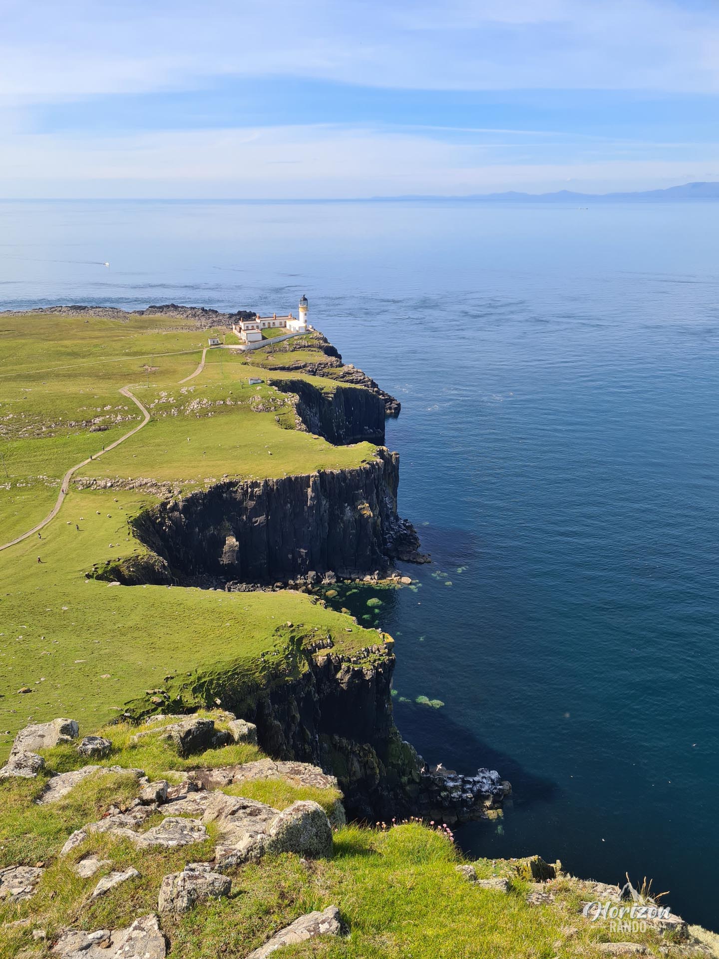
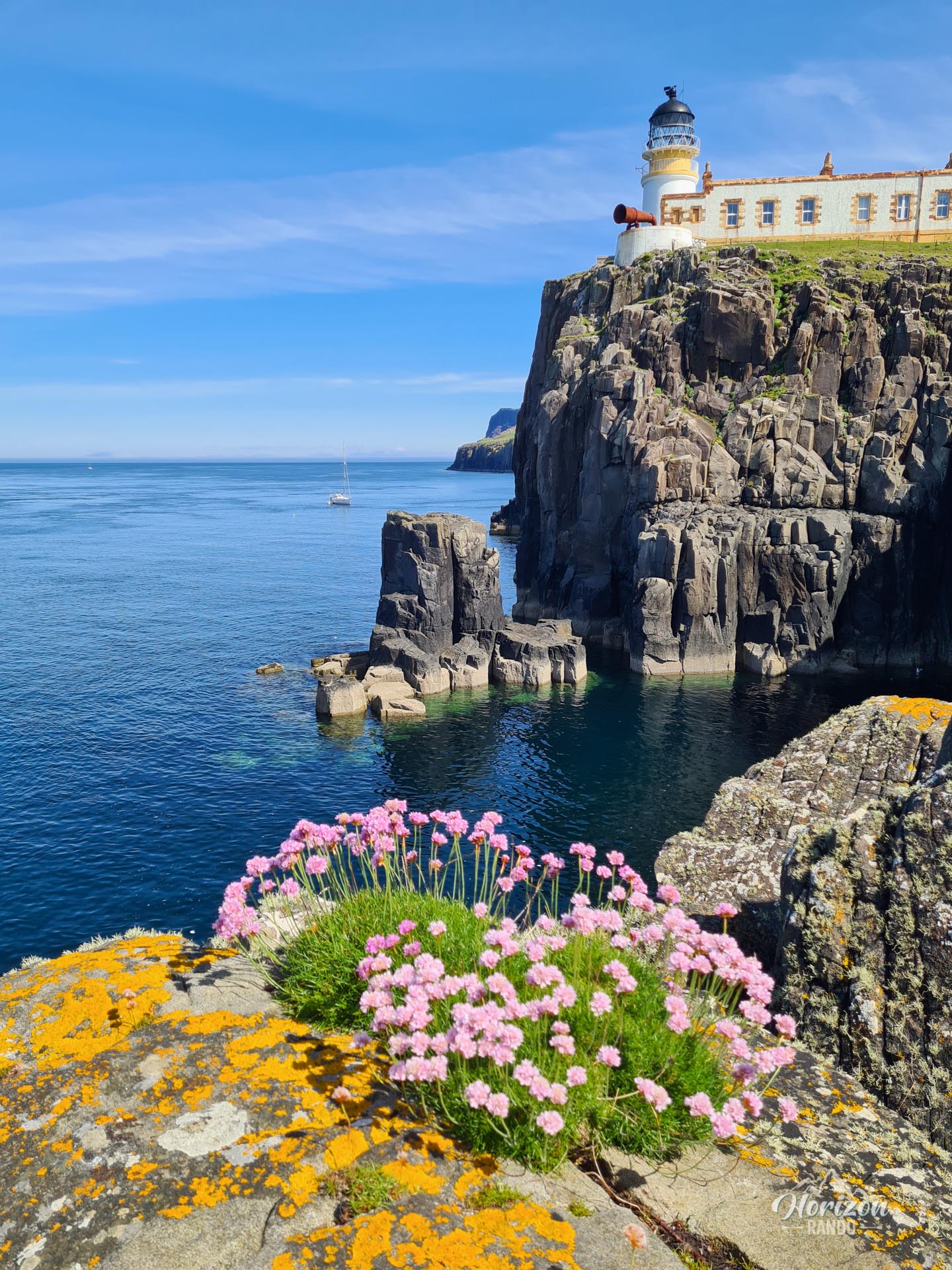
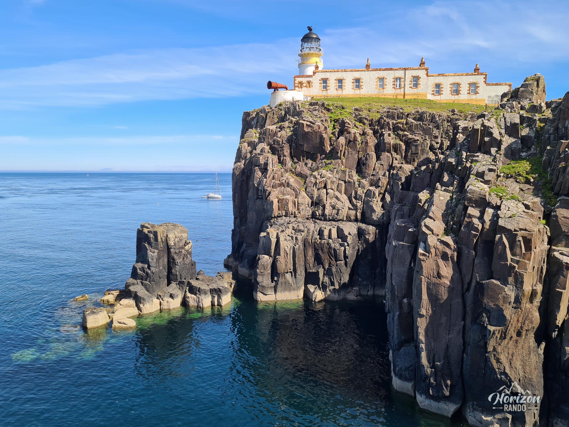
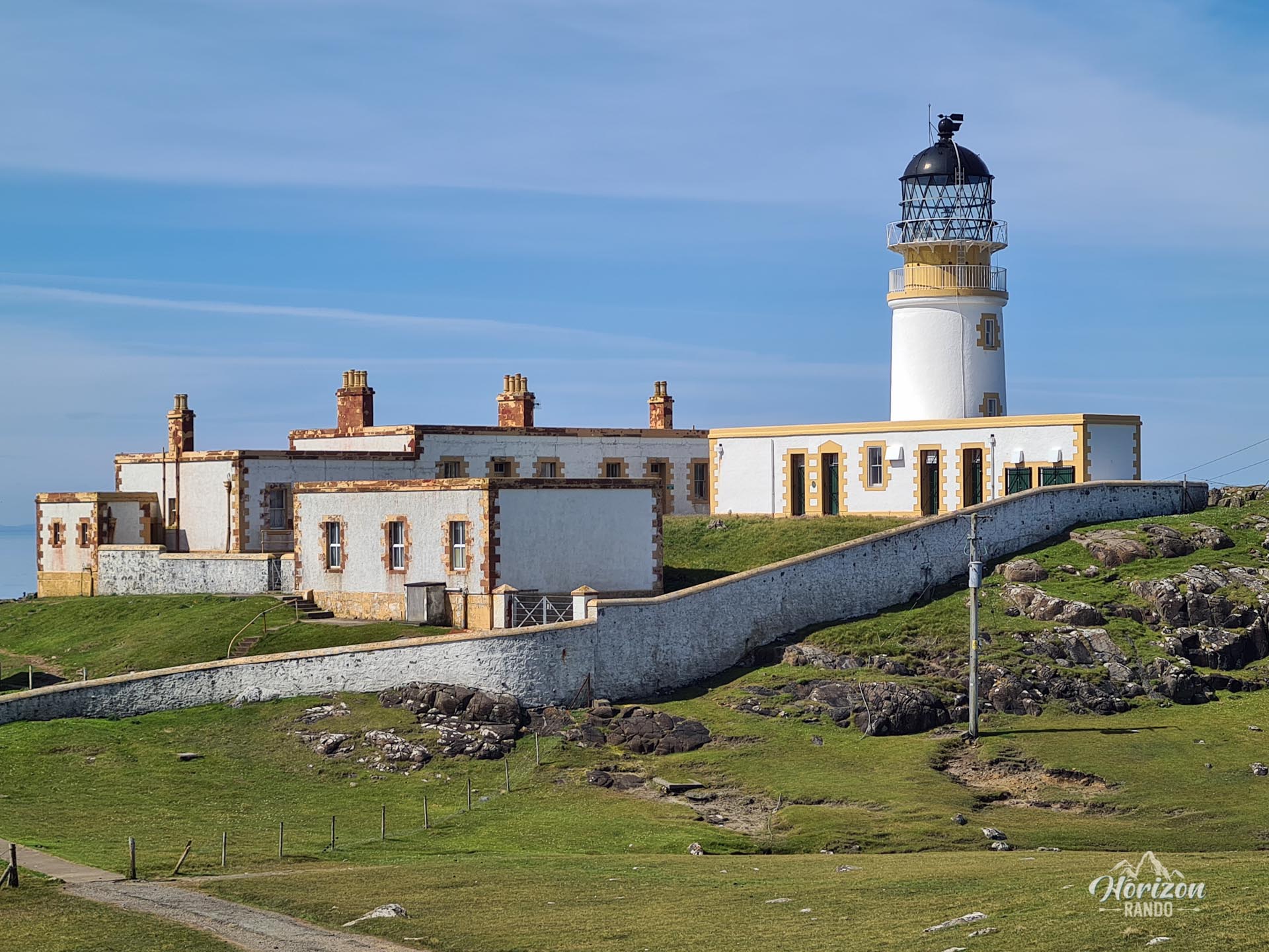
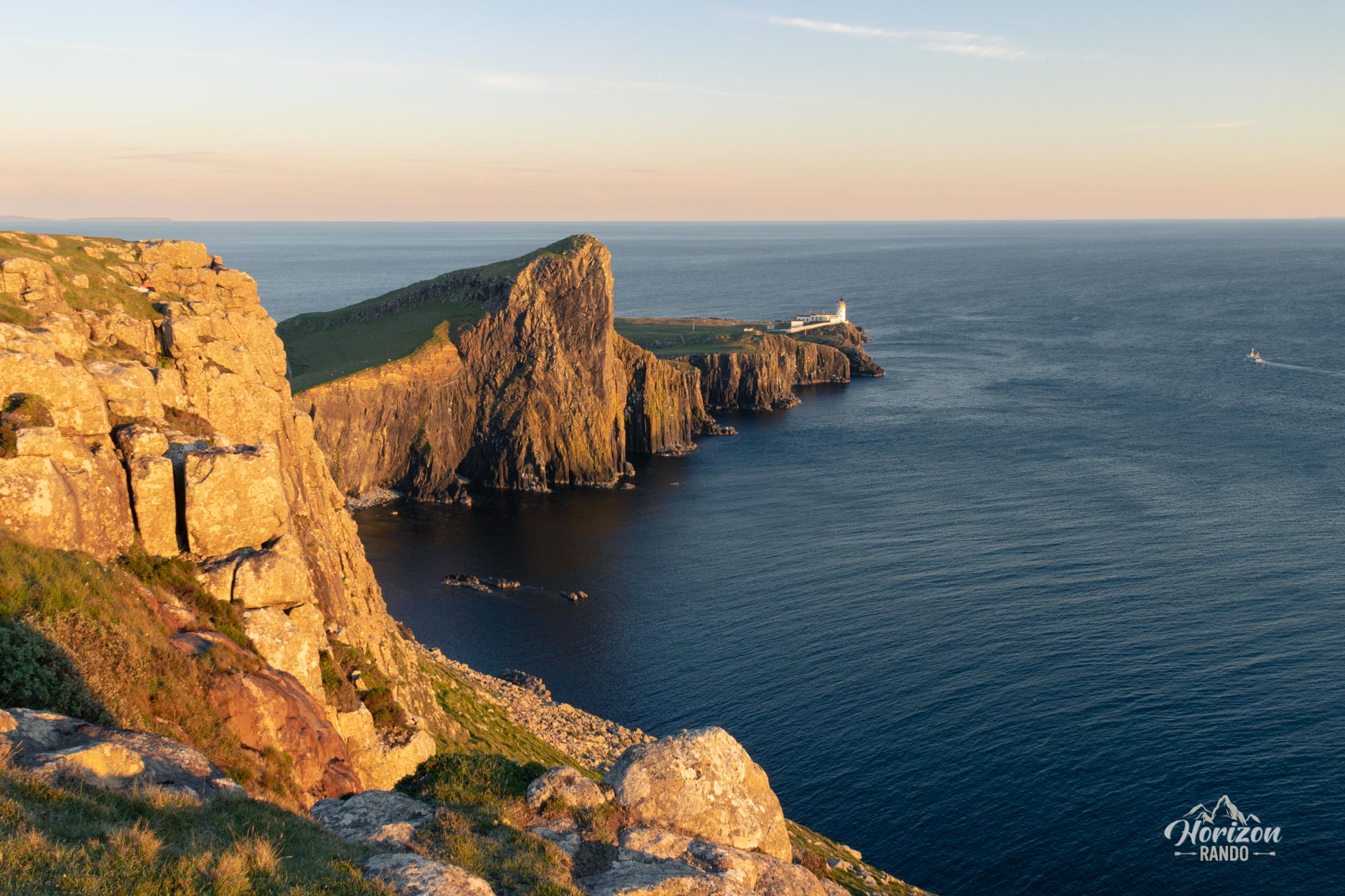
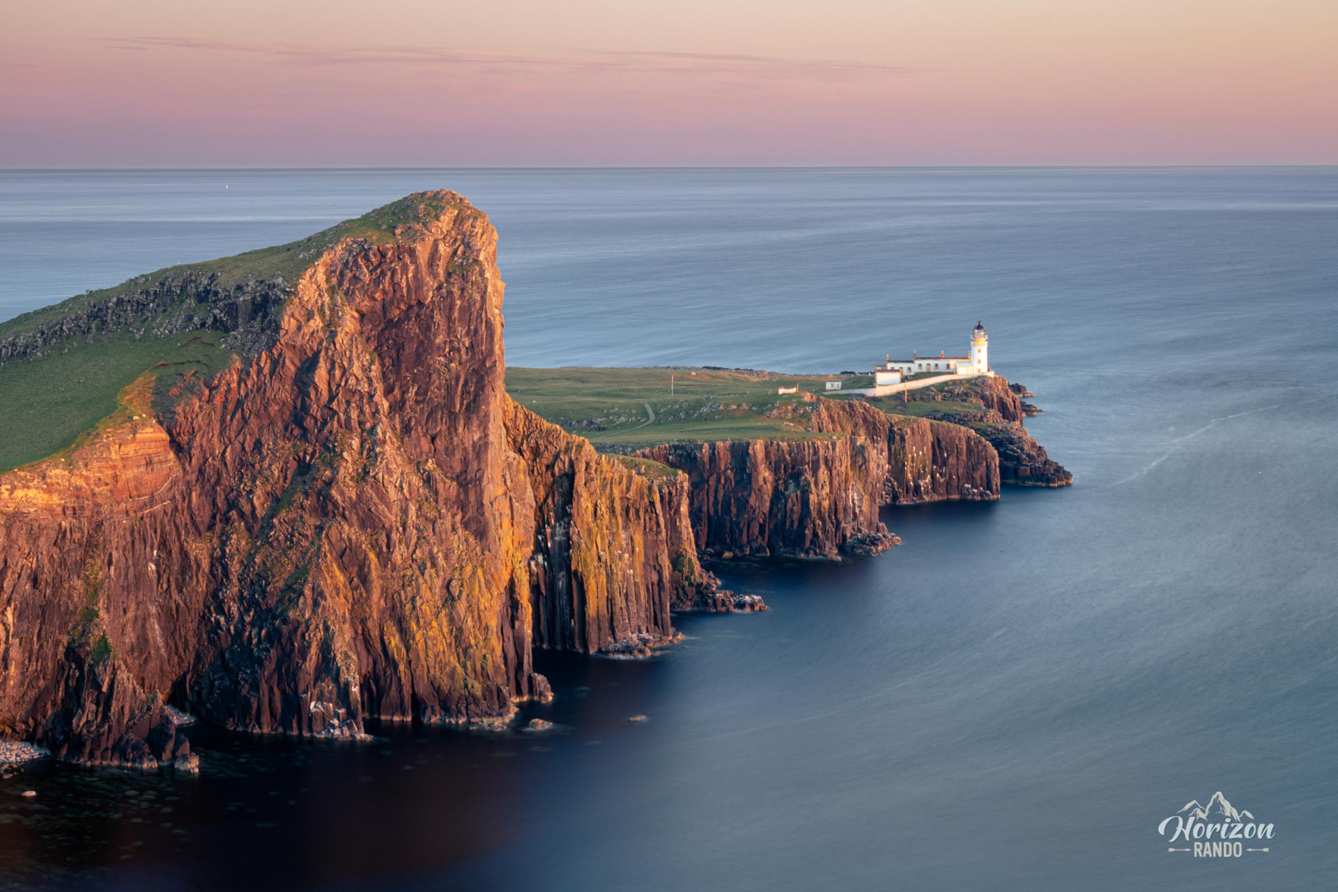
The Neist Point hike leads to the famous lighthouse situated at the westernmost tip of the Isle of Skye. This short yet remarkable route offers stunning views of steep cliffs, the Atlantic Ocean, and the Outer Hebrides silhouetted against the horizon. Built by the Stevenson family in 1909, Neist Point Lighthouse is a popular destination for photographers, especially at sunset, when the golden light illuminates the coastal landscape.
Map and elevation profile of the hike
Neist Point Hike
Difficulties of the hike
The route is very easy and presents absolutely no difficulty. The trail is well-maintained and mostly paved.
What you'll love
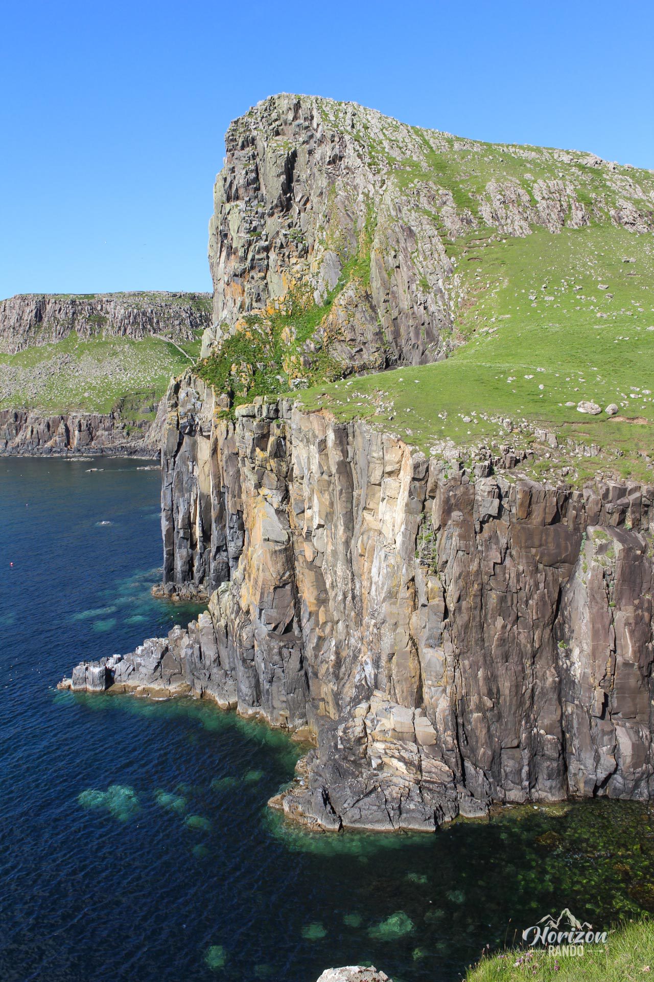
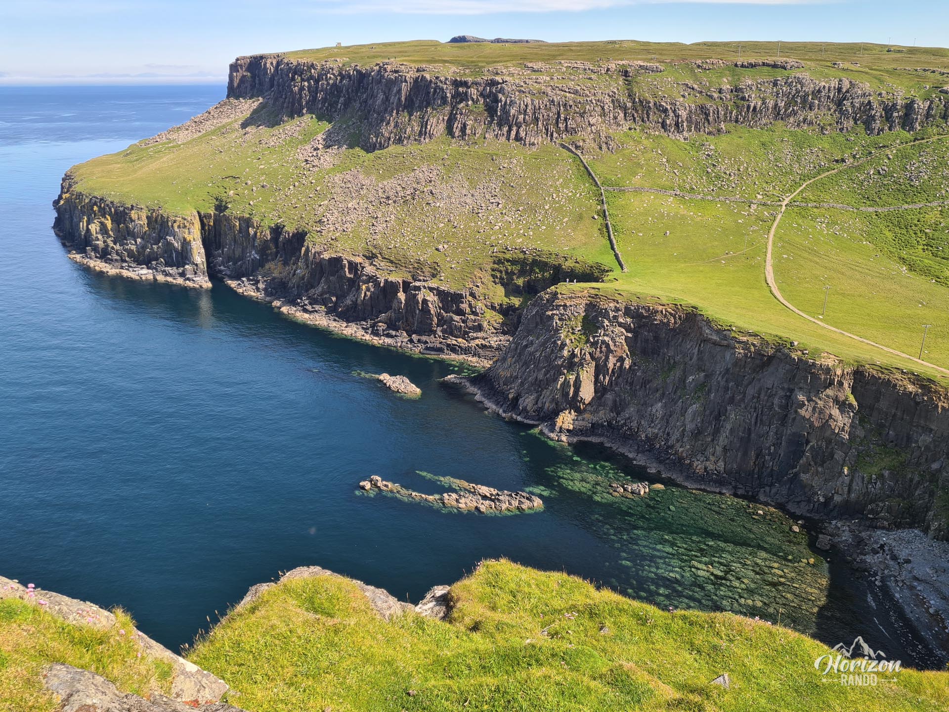
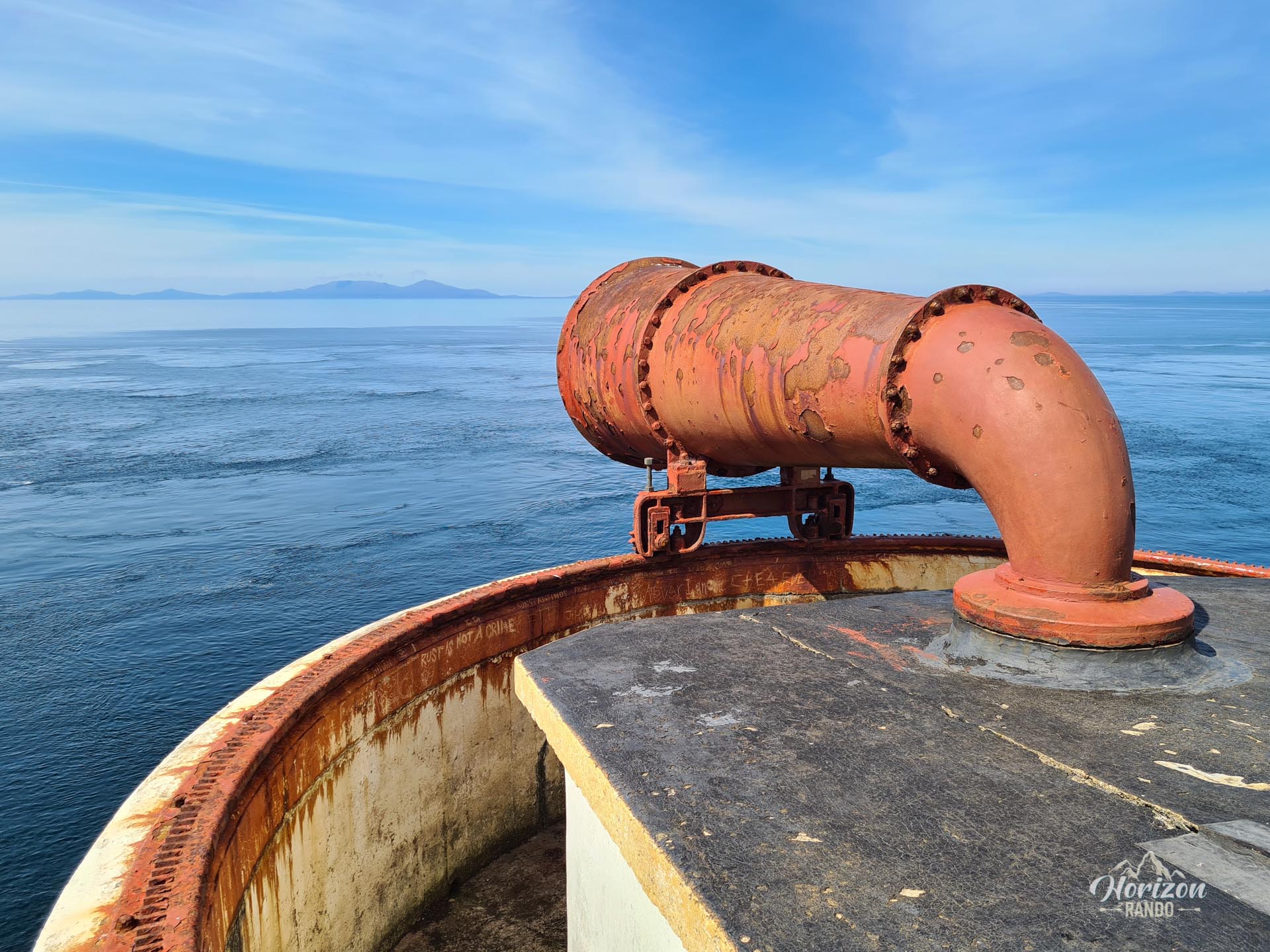
- Breathtaking panoramic views of the jagged cliffs and the Atlantic Ocean. On a clear day, you can see the Outer Hebrides. The white lighthouse blends majestically into this wild landscape.
- Watching seabirds nesting on the cliffs: northern gannets, black guillemots, and cormorants.
Practical information
Iconic viewpoint
To capture the classic photo of the lighthouse with the cliffs in the foreground, head northwest from the parking lot and walk about 200 meters along the cliffs.
Photos
See all 10 photos →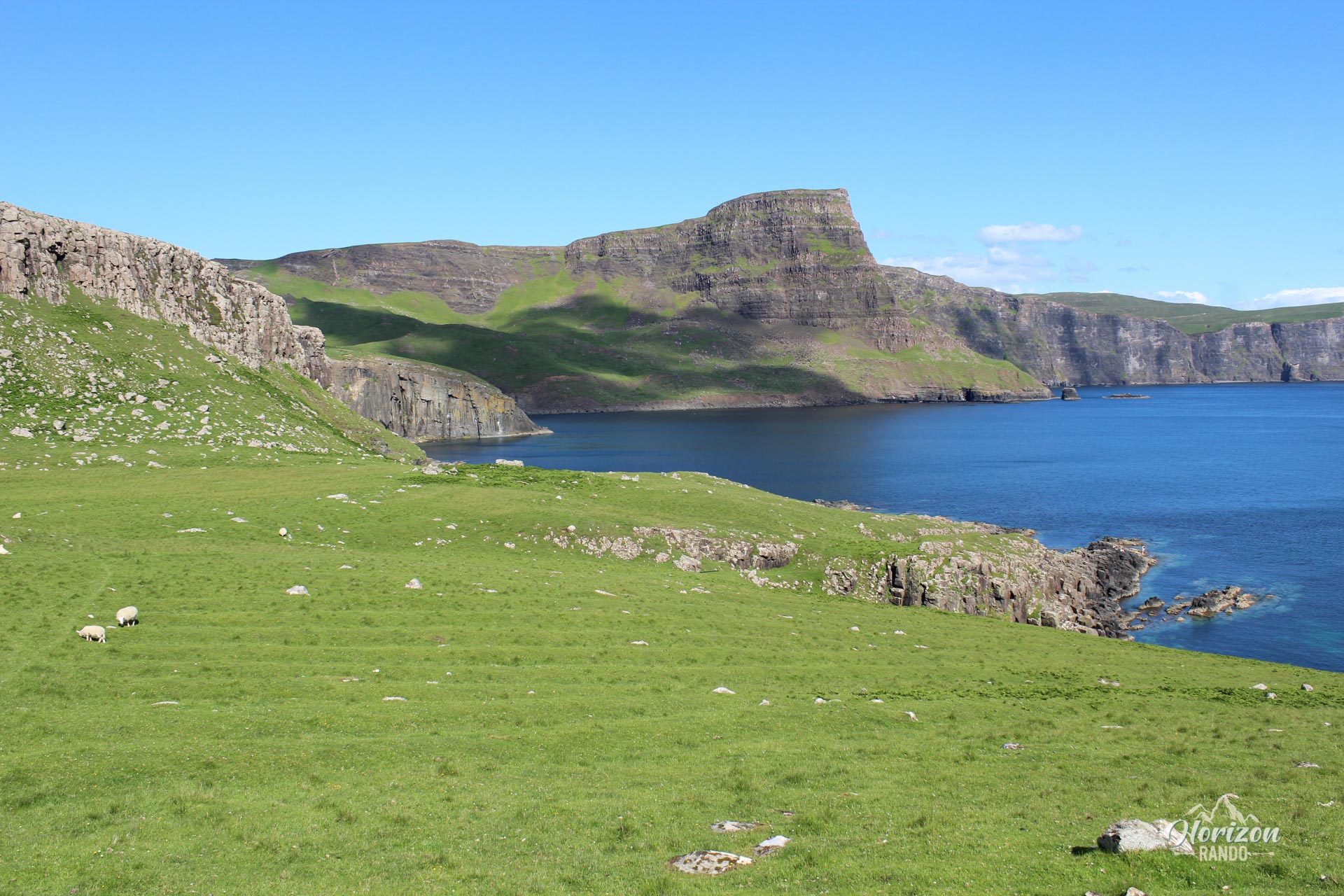
More hikes to do in Scotland
Nearby hikes


Printed from www.horizonrando.fr/en/scotland/neist-point/