
Calanques de Piana Hike
Hike overview
The Calanques de Piana hike will take you to the heart of an exceptional UNESCO World Heritage Site. You will discover spectacular red granite rock formations overlooking the azure waters of the Gulf of Porto.
The route follows an old paved mule track lined with a magnificent dry stone wall that connected Piana and Porto in the 19th century before the road was built. This easy loop alternates between breathtaking calanques views and peaceful walks through Piana's pine forest.
Difficulties of the hike
This hike is not particularly difficult and is accessible to most people. The trail is well-maintained and marked the entire way.
What you'll love
- The exceptional views of the Calanques de Piana and the Gulf of Porto: The mule track reveals spectacular overlooks of the road, allowing you to admire these unique geological formations.
- The historical significance of this ancient paved trail used by mule drivers in the 19th century and its beautiful dry stone wall.
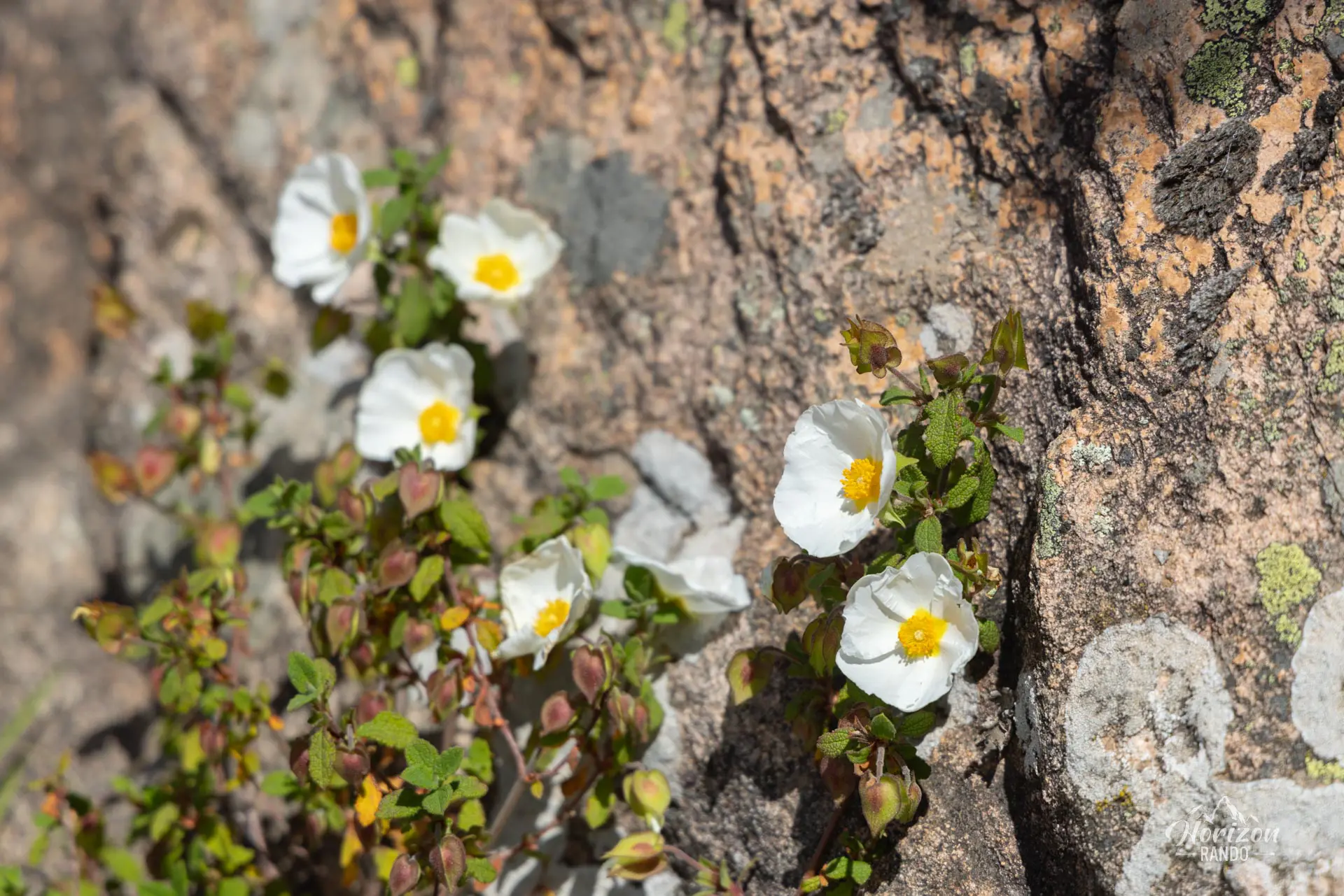
- The coolness of the pine forest: After enjoying the panoramic views of the Calanques, take advantage of the shade and peaceful atmosphere of the forest.
- The moderate traffic on this trail, even in the summer, unlike the Calanques road, which is often congested with vehicles.
MY RATING :
Hike technical sheet
➡️ Hiking parameters
➡️ Hiking parameters
➡️ Hiking parameters
Map and elevation profile of the hike
Calanques de Piana Hike
Slideshow

Carte au stade municipal

Stade municipal de Piana

Sentier des roches bleues

Calanques de Piana

Calanques de Piana

Calanques de Piana

Sentier muletier

Calanques de Piana

Forêt de pins de Piana

Forêt de pins de Piana

Calanques de Piana

Calanques de Piana

Calanques de Piana

Calanques de Piana

Calanques de Piana
Nearby hikes

Capu di u Vitullu Hike
- Difficulty : Moderate
- Duration : 5 h 30
- Distance : 12.2 km
- Elevation gain : 870 m

Capu d'Orto Hike
- Difficulty : Moderate
- Duration : 5 h
- Distance : 11 km
- Elevation gain : 860 m

Capo Rosso Hike
- Difficulty : Moderate
- Duration : 4 h 15
- Distance : 9.5 km
- Elevation gain : 570 m

Spelunca Gorges Hike
- Difficulty : Easy
- Duration : 2 h
- Distance : 4.2 km
- Elevation gain : 160 m
Map of the 10 closest hikes
Hikes to discover
Let chance guide your steps: discover a random selection of the best hikes in Corsica.

GR20 Stage 2 – Ortu di u Piobbu to Carrozzu
- Difficulty : Hard
- Duration : 6 h
- Distance : 7.8 km
- Elevation gain : 830 m

Lotu and Saleccia Beaches Hike
- Difficulty : Easy to Hard
- Duration : 7 h 30
- Distance : 27.3 km
- Elevation gain : 320 m

GR20 Stage 9 – Alpine Variant
- Difficulty : Hard
- Duration : 7 h
- Distance : 12 km
- Elevation gain : 1090 m

Customs path Hike
- Difficulty : Moderate
- Duration : 4 h
- Distance : 11.7 km
- Elevation gain : 360 m

Bruzzi Trail Hike
- Difficulty : Easy
- Duration : 2 h
- Distance : 5 km
- Elevation gain : 200 m

Monte d'Oro Hike
- Difficulty : Very Hard
- Duration : 7 h 30
- Distance : 15.8 km
- Elevation gain : 1520 m