
Punta d'Omigna Hike
Hike overview
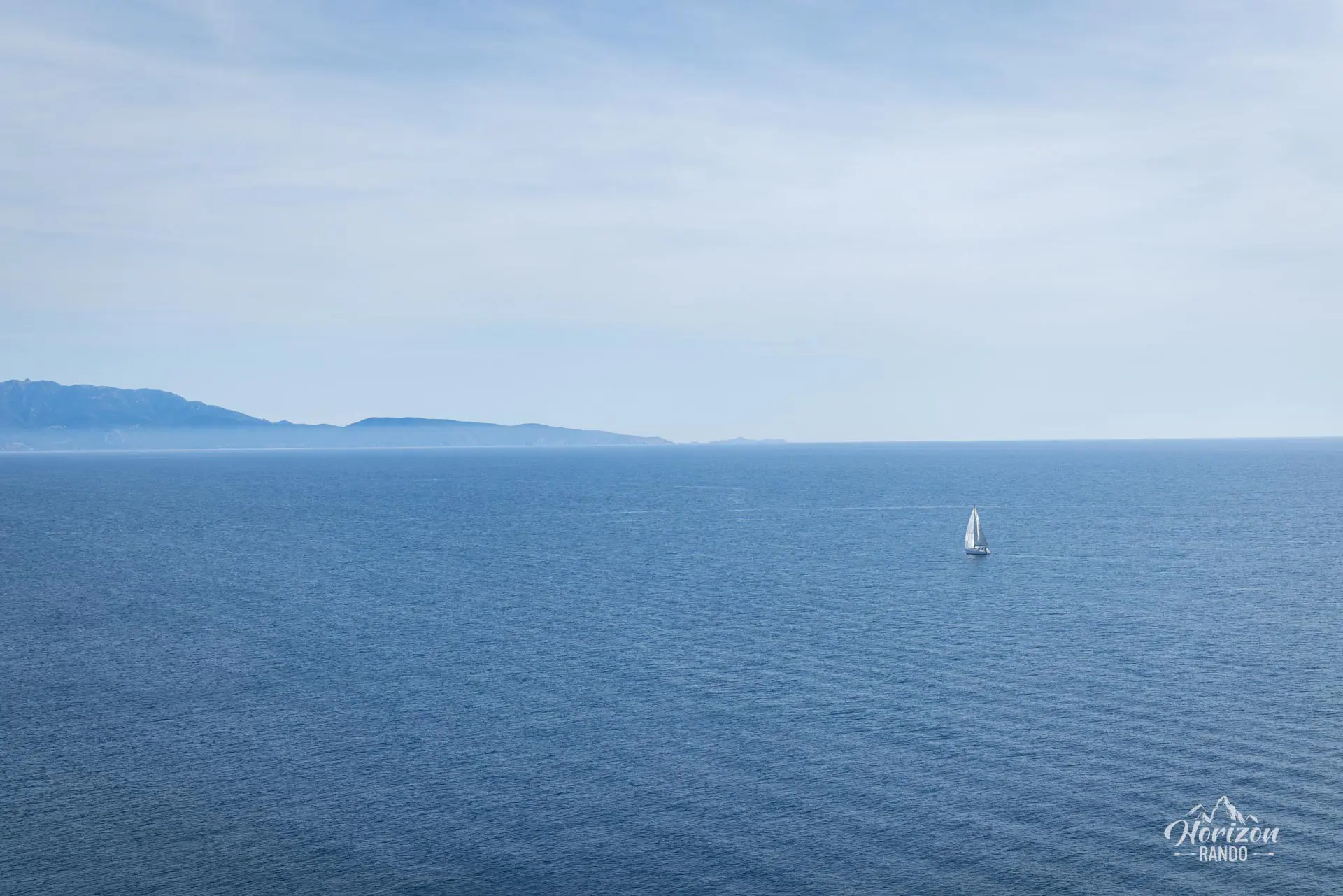
The Punta d'Omigna hike takes you to one of the most beautiful Genoese towers in Corsica. This tower has been beautifully restored and is open to the public. Located on a peninsula between the gulfs of Chiuni and Peru, this 12-meter-high tower offers remarkable views stretching from Capo Rosso in the north to the Sanguinaires Islands in the south.
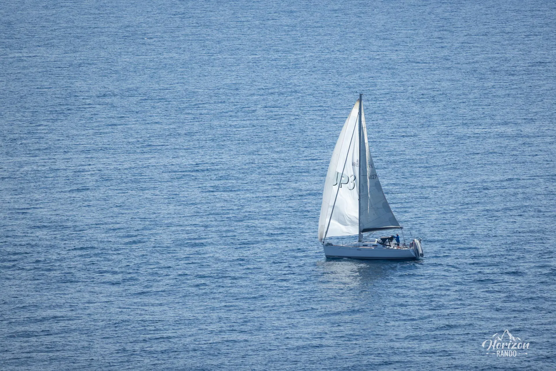
This accessible, uncrowded coastal walk introduces you to typical Corsican landscapes: winding paths through low scrub, dry stone walls, and constant views of the Mediterranean.
Remarks
Parking: Free parking at Peru Beach. To reach the trailhead, walk north for about five minutes, then follow the cul-de-sac to the starting gate, which is marked by a sign reading "Tour d'Omigna."
Swimming: After your hike, enjoy beautiful Peru Beach and cool off in its crystal-clear waters.
Difficulties of the hike
This coastal hike is not difficult. The well-marked trail runs along the coastline through low scrubland and has a few signposts and directional signs.
What you'll love
- The Genoese Tower of Omigna: A perfectly restored historical monument dating from the second half of the 16th century that bears witness to the island's defensive past against barbarian invasions.
- The exceptional panorama from the Genoese tower's terrace, which is accessible via an internal staircase and offers a 360° view of the Peru and Chiuni gulfs.
- The low number of visitors to this route, which allows you to fully enjoy the area's tranquility.
Hike technical sheet
➡️ Hiking parameters
➡️ Hiking parameters
➡️ Hiking parameters
Map and elevation profile of the hike
Slideshow


Nearby hikes

Capo Rosso Hike
- Difficulty : Moderate
- Duration : 4 h 15
- Distance : 9.5 km
- Elevation gain : 570 m

Calanques de Piana Hike
- Difficulty : Easy
- Duration : 2 h 15
- Distance : 4.8 km
- Elevation gain : 320 m

Capu di u Vitullu Hike
- Difficulty : Moderate
- Duration : 5 h 30
- Distance : 12.2 km
- Elevation gain : 870 m

Capu d'Orto Hike
- Difficulty : Moderate
- Duration : 5 h
- Distance : 11 km
- Elevation gain : 860 m
Map of the 10 closest hikes
Hikes to discover
Let chance guide your steps: discover a random selection of the best hikes in Corsica.

GR20 Stage 4 – Asco to Tighiettu
- Difficulty : Hard
- Duration : 7 h
- Distance : 8.5 km
- Elevation gain : 1200 m

Campomoro Coastal Trail Hike
- Difficulty : Moderate
- Duration : 5 h 30
- Distance : 15.8 km
- Elevation gain : 430 m

Monte Senino Hike
- Difficulty : Hard
- Duration : 4 h
- Distance : 6.1 km
- Elevation gain : 680 m

Capu a Cuccula Hike
- Difficulty : Moderate
- Duration : 3 h 45
- Distance : 6.3 km
- Elevation gain : 650 m

Melo and Capitello Lakes Hike
- Difficulty : Moderate
- Duration : 3 h 30
- Distance : 6.6 km
- Elevation gain : 560 m

GR20 Stage 2 – Ortu di u Piobbu to Carrozzu
- Difficulty : Hard
- Duration : 6 h
- Distance : 7.8 km
- Elevation gain : 830 m