
Arnarstapi Hike
Hike overview
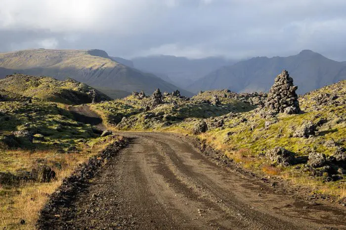
The coastal walk at Arnarstapi is one of the most beautiful family walks on the Snæfellsnes Peninsula. Starting in the picturesque fishing village of Arnarstapi, the trail winds along steep basalt cliffs that are home to countless seabird colonies within a nature reserve protected since 1979.
Along the way, you will discover geological wonders shaped by volcanic activity and the ocean, including the famous Gatklettur arch and a natural lava bridge. The majestic Snæfellsjökull volcano provides a stunning backdrop throughout the hike.
Remarks
Flexible Itinerary: The suggested itinerary ends at the Gatklettur arch, which is about a one-hour round trip. However, you can easily continue on to Hellnar for a three-hour total hike.
Difficulties of the hike
This coastal walk is extremely accessible and presents no difficulty. The well-maintained trail is almost entirely flat. Although unmarked, the route is fairly obvious.
What you'll love
- The almost perfectly circular Gatklettur basalt arch, a masterpiece sculpted by ocean waves over centuries.
- The endless spectacle of seabirds: Black-legged kittiwakes, Arctic terns and many other species nest by the thousands in the cliffs, offering a fascinating ballet between sky and sea.
- Impressive geological formations: Basalt columns, chasms created by rock collapse, natural lava bridges, which are evidence of the region's volcanic past.
Hike technical sheet
➡️ Hiking parameters
➡️ Hiking parameters
➡️ Hiking parameters
Map and elevation profile of the hike
Slideshow


Nearby hikes


Map of the 3 closest hikes
Hikes to discover
Let chance guide your steps: discover a random selection of the best hikes in Iceland.

Landmannalaugar to Ljótipollur Hike
- Difficulty : Moderate
- Duration : 4 h 30
- Distance : 13 km
- Elevation gain : 330 m

Fjaðrárgljúfur Canyon Hike
- Difficulty : Very easy
- Duration : 1 h
- Distance : 2.2 km
- Elevation gain : 70 m
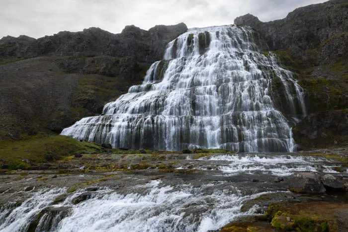
Cascades de Dynjandi

Snækollur Hike
- Difficulty : Moderate
- Duration : 3 h 15
- Distance : 5.1 km
- Elevation gain : 600 m

Chutes d'Aldeyjarfoss
