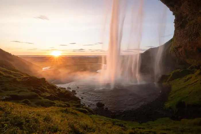
Drone: Bláfjallafoss waterfall
Discover Bláfjallafoss, a modest 5-meter-high waterfall, yet one of Iceland's most emblematic. Located along the F232 road, this waterfall offers a unique experience as you pass literally just a few meters from its edge. If you've ever seen a photo of a car braving an Icelandic river over a waterfall, chances are it happened right here. However, it's important to note that this view can only be captured with a drone, as there is no relief in front of the waterfall.
Viewpoint technical sheet
Remarks
How to get there: Accessible via the F232 road, only in summer, a 4WD is required. The only tricky part of this road is fording the Bláfjallakvisl river, which gives rise to the waterfalls. This is a medium-sized river. Click here for more details.
Important: before any flight, please take note of Iceland's drone legislation. To do so, please consult this site. Important: before any flight, please take note of Iceland's drone legislation. To do so, please consult this site.


Nearby hikes


Hikes to discover
Let chance guide your steps: discover a random selection of the best hikes in Iceland.