Grábrók Crater Hike
Hike overview
At over 170 meters high, Grábrók is an explosive volcano that formed around 3,400 years ago. The largest of the three craters at the site, Grábrók belongs to the 90-kilometer-long Ljosufjoll volcanic system, one of the longest in Iceland.
From the summit, you can enjoy a 360° panorama of the impressive moss-covered lava field, surrounding lupine fields, and mountains of Borgarfjörður. This short, accessible hike is an ideal stop along the Golden Circle.
Difficulties of the hike
This route is easy and falls somewhere between a walk and a viewpoint. The climb takes no more than 15 minutes and follows a well-maintained, marked trail with around 300 wooden steps.
What you'll love
- Spectacular panoramic views from the top: You will overlook Grábrókarhraun, an impressive moss-covered lava field, and enjoy a 360-degree view of the Icelandic countryside.
- The unique experience of walking along the edge of a volcanic crater.
- Remarkable accessibility: A short, well-maintained trail, ideal for a quick break along the circular route.
MY RATING :
Hike technical sheet
➡️ Hiking parameters
➡️ Hiking parameters
➡️ Hiking parameters
Map and elevation profile of the hike
Grábrók Crater Hike
Slideshow
")
Cratère de Grábrók (vue drone)
")
Cratère de Grábrók (vue drone)
")
Cratère de Grábrók (vue drone)

Sentier aménagé

Cratère de Grábrók

Champ de lave Grábrókarhraun

Cratère de Grábrók

Cratère de Grábrók
Nearby hikes
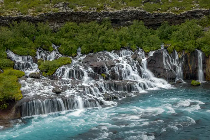
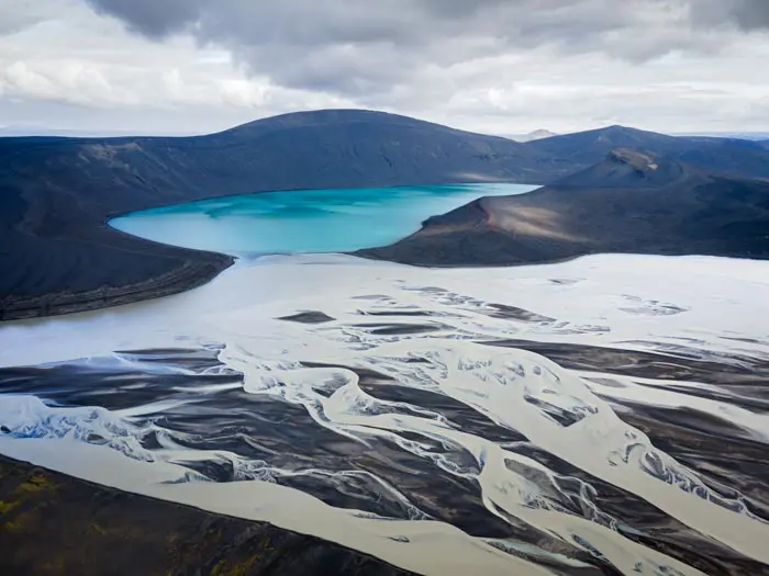
Hraunfossar

Glymur Waterfall Hike
- Difficulty : Moderate
- Duration : 2 h 45
- Distance : 6.3 km
- Elevation gain : 420 m

Thingvellir National Park Hike
- Difficulty : Very easy
- Duration : 1 h 30
- Distance : 5.1 km
- Elevation gain : 80 m

Mount Esja Hike
- Difficulty : Moderate
- Duration : 3 h 30
- Distance : 7.8 km
- Elevation gain : 760 m
Map of the 5 closest hikes
Hikes to discover
Let chance guide your steps: discover a random selection of the best hikes in Iceland.
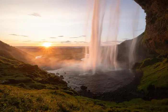
Cascade de Seljalandsfoss

Lac de Bláhylur

Grænihryggur Hike
- Difficulty : Hard
- Duration : 6 h 30
- Distance : 15.7 km
- Elevation gain : 910 m

Ljótipollur Crater Hike
- Difficulty : Easy
- Duration : 1 h 30
- Distance : 4.4 km
- Elevation gain : 190 m

Skalli Hike
- Difficulty : Hard
- Duration : 6 h 30
- Distance : 17.7 km
- Elevation gain : 960 m