Mount Esja Hike
Hike overview
Mount Esja is a volcanic mountain range located in western Iceland, near Reykjavik. Due to its proximity to the capital city, hiking to the intermediate summit of Þverfellshorn is a popular activity in the country, attracting many locals eager to enjoy the outdoors. From the summit, you can enjoy beautiful views of the Atlantic Ocean and Reykjavik.
Difficulties of the hike
The clearly marked trail begins at the Mógilsá parking lot and initially follows the river before gradually climbing uphill. The first section, up to the Steinn viewpoint (at an altitude of 600 meters), presents no technical difficulties.
Beyond that, the trail becomes more demanding, with some sections requiring some scrambling to progress. The final section before the summit of Þverfellshorn has metal chains to secure the climb and may be daunting for those afraid of heights.
What you'll love
- The view of Reykjavik and the ocean: From the summit of Þverfellshorn, you will be rewarded with a bird's-eye view of the Icelandic capital, the Atlantic Ocean, and the surrounding fjords.
- Accessibility from Reykjavik: This hike is just a 30-minute drive (or accessible by bus) from the capital, allowing you to immerse yourself in Icelandic nature without straying far. It's ideal for a half-day getaway.
- The local atmosphere: You will meet many Icelanders, some of whom are mountain runners, creating a friendly and authentic atmosphere.
Hike technical sheet
➡️ Hiking parameters
➡️ Hiking parameters
➡️ Hiking parameters
Map and elevation profile of the hike
Slideshow


Nearby hikes

Nesjavellir Hike
- Difficulty : Easy
- Duration : 2 h 30
- Distance : 6.6 km
- Elevation gain : 260 m

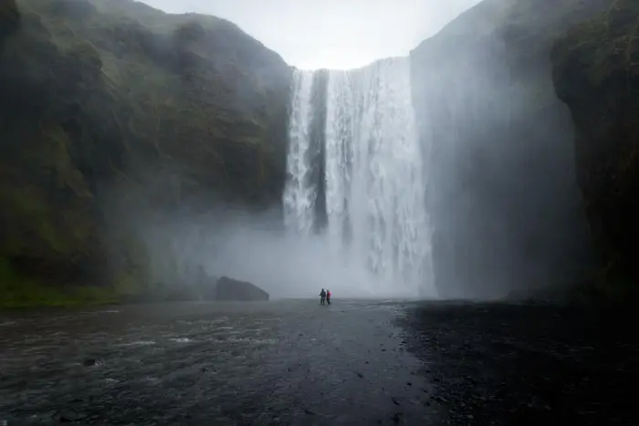
Glymur Waterfall Hike
- Difficulty : Moderate
- Duration : 2 h 45
- Distance : 6.3 km
- Elevation gain : 420 m

Thingvellir National Park Hike
- Difficulty : Very easy
- Duration : 1 h 30
- Distance : 5.1 km
- Elevation gain : 80 m

Reykjadalur Thermal River Hike
- Difficulty : Easy
- Duration : 2 h 30
- Distance : 7.9 km
- Elevation gain : 310 m
Map of the 10 closest hikes
Hikes to discover
Let chance guide your steps: discover a random selection of the best hikes in Iceland.

Sveinstindur Hike
- Difficulty : Easy
- Duration : 2 h
- Distance : 3.5 km
- Elevation gain : 420 m
Suðurnámur Hike
- Difficulty : Moderate
- Duration : 3 h 30
- Distance : 10.1 km
- Elevation gain : 510 m

Múlagljúfur Canyon Hike
- Difficulty : Easy
- Duration : 2 h 15
- Distance : 5.6 km
- Elevation gain : 440 m

Fimmvörðuháls Trek
- Difficulty : Very Hard
- Duration : 10 h
- Distance : 23.8 km
- Elevation gain : 1320 m
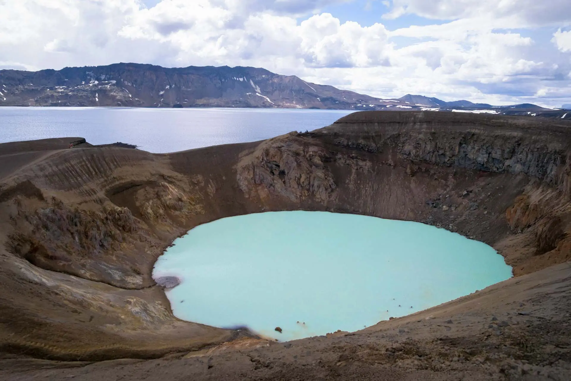
Askja