





Reykjadalur Thermal River Hike
Key facts about the hike
- Difficulty
- Easy Hikes are rated from very easy to very hard: my difficulty scale
- Duration
- 2h30 Estimated time, short breaks included (photos, water, snacks), picnic not included: how it is calculated
- Distance
- 7.9km
- out and back
- Elevation gain
- 310m
- Type of route
- Out and back
- Maximum altitude
- 285 m
- Vertiginous Five levels, depending on how exposed the route is: the levels in detail
- No
- Marked
- Yes
- Popularity
- High
- Region
- West
- Start point
- 64.02148, -21.21052
- Activity
- Hiking
Hike overview
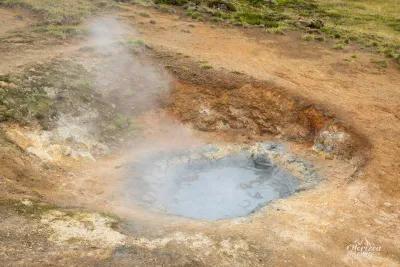
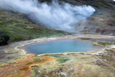
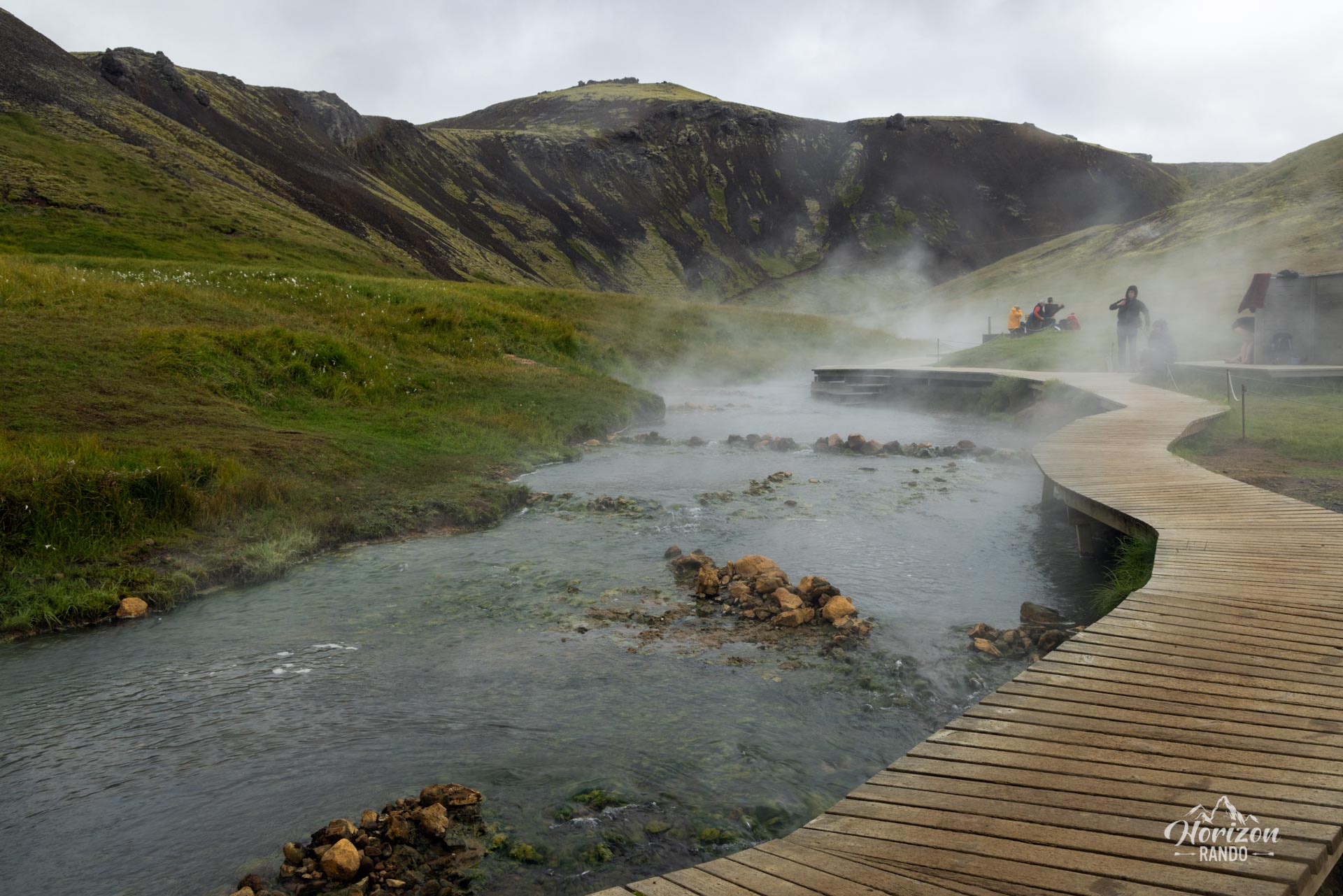
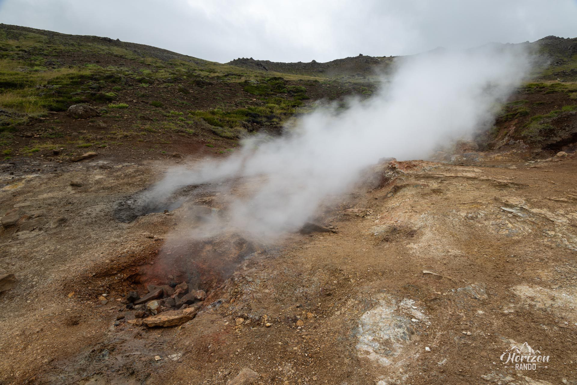
Discover Reykjadalur, meaning "Valley of Steam" in Icelandic, located in the Hengill volcanic region. Although Mount Hengill last erupted 2,000 years ago, the volcano is still active today. The area is dotted with hot springs, bubbling mud pools, fumaroles, and most notably, a geothermal river in which you can bathe.
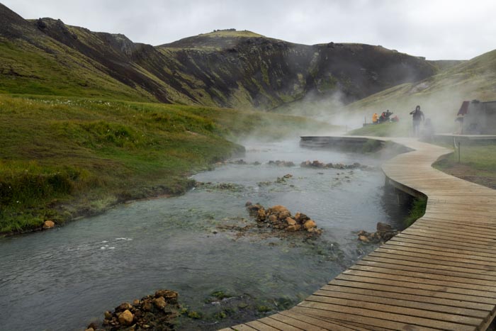
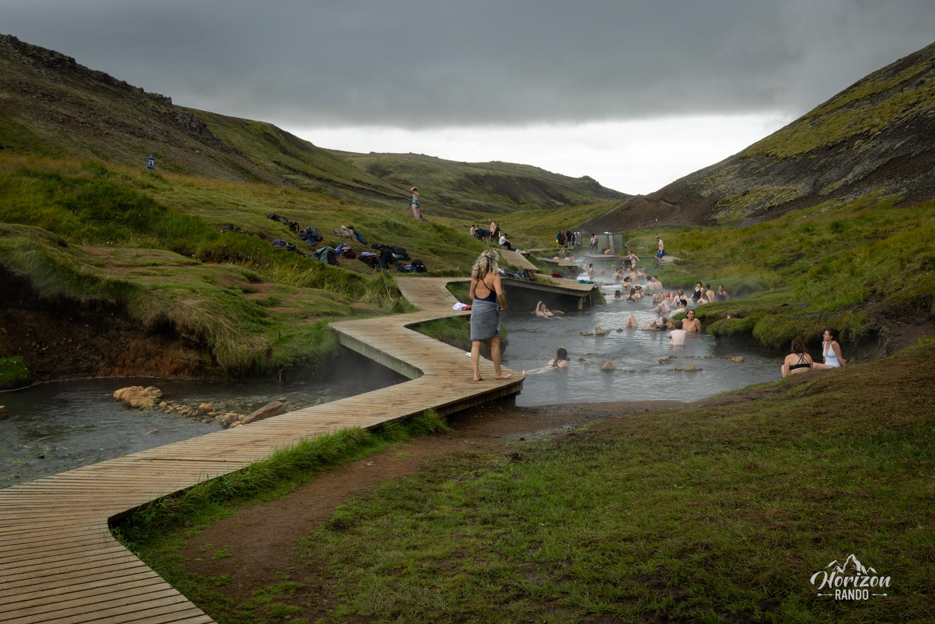
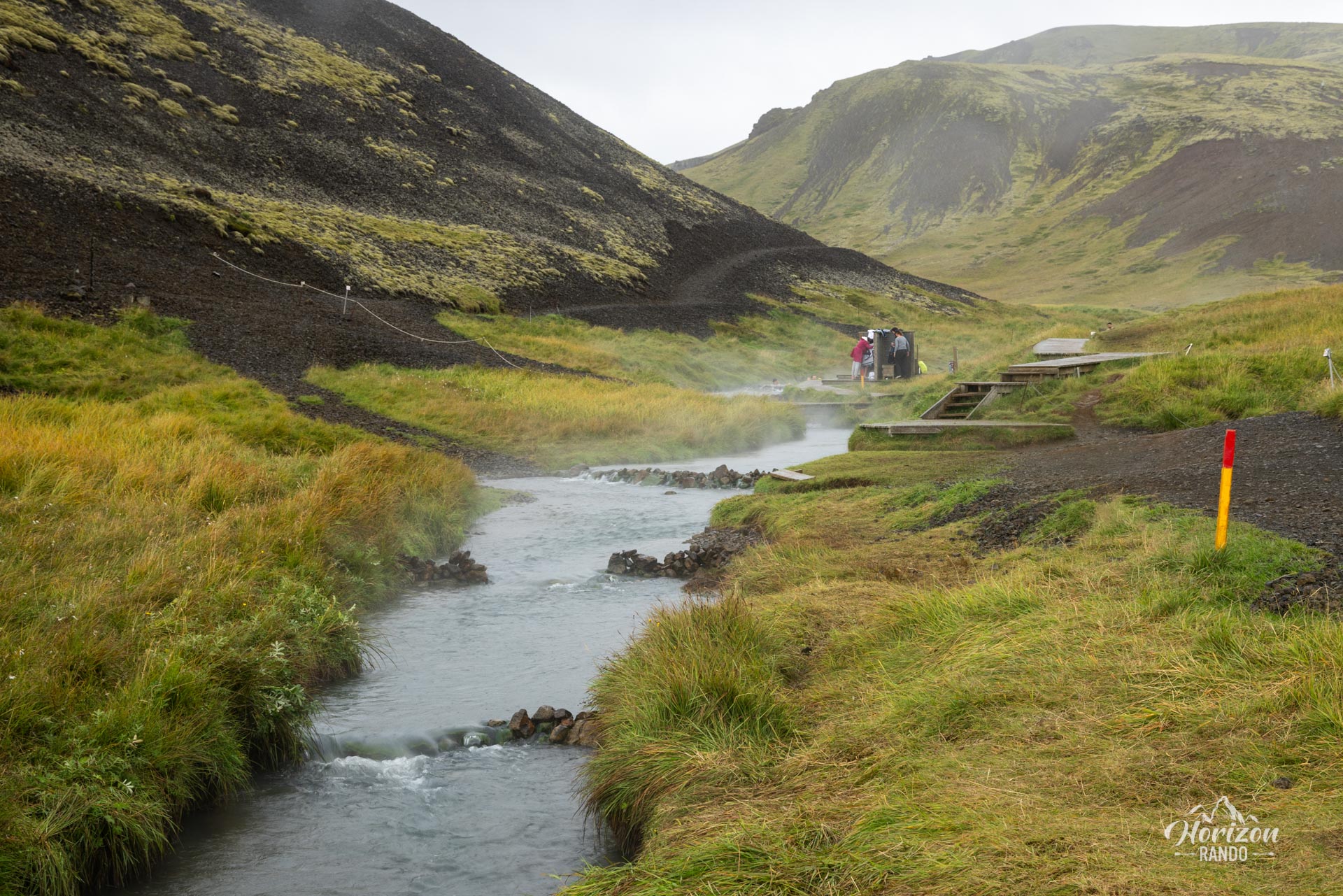
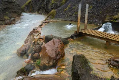
The site is remarkably well developed: wooden pontoons run along the river for several hundred meters and basic changing rooms are available. The area is organized into small independent natural pools, bordered by stacked rocks, offering a truly unique experience. An interesting detail: the further up the stream you go, the higher the temperature rises, allowing everyone to find their ideal bathing temperature.
Map and elevation profile of the hike
Reykjadalur Thermal River Hike
Difficulties of the hike
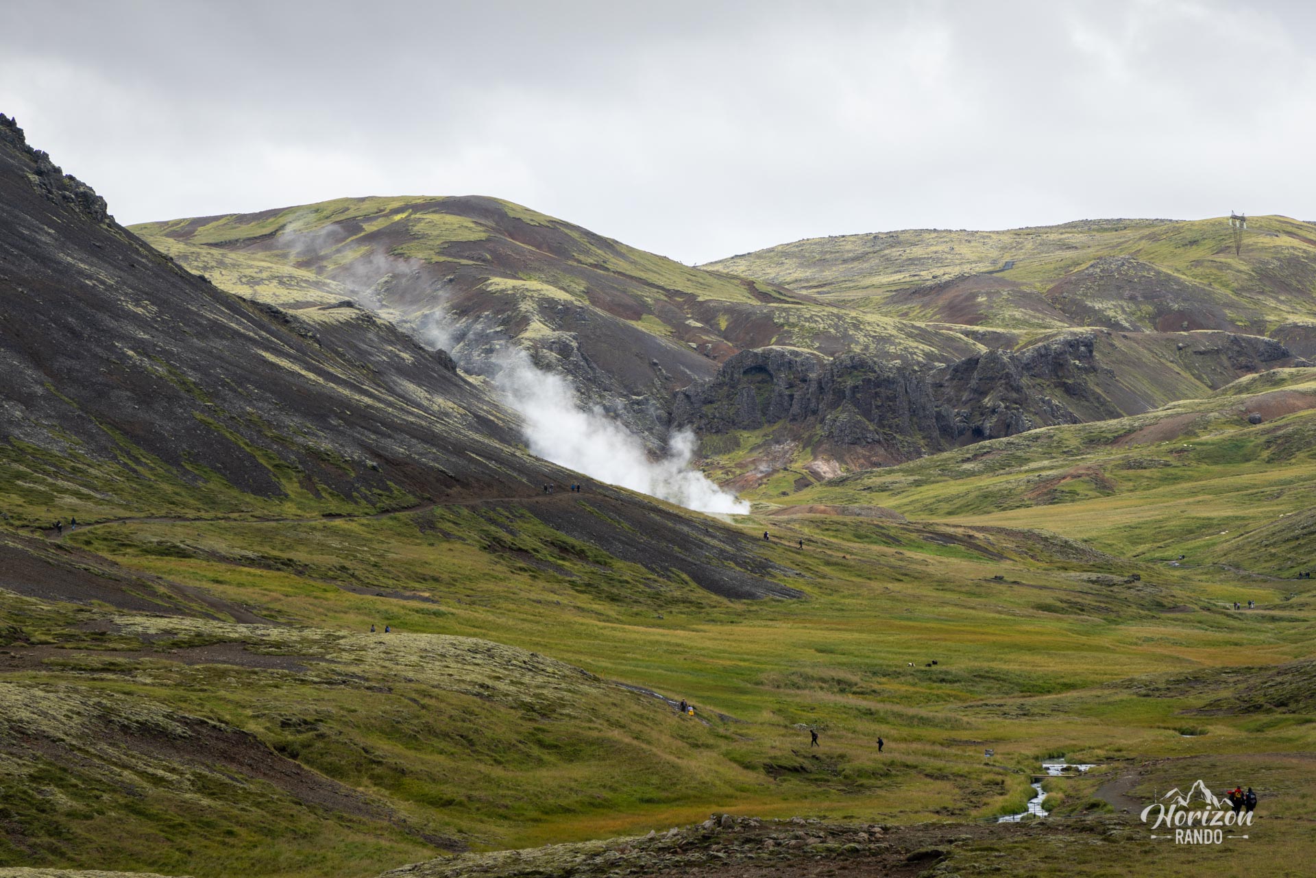
The route is easy and presents no technical difficulty. The well-maintained trail winds over dirt and gravel terrain. Clearly marked, it is very easy to follow.
What you'll love
- The unique experience of bathing in a natural thermal river, with wooden pontoons stretching for several hundred meters.
- The ability to choose your ideal temperature: The further up the river you go, the warmer the water gets, with temperatures ranging from 36 to 40°C.
- Its proximity to Reykjavik (a 45-minute drive), perfect for a half-day getaway.
Practical information
Parking
Large paid parking lot at the trailhead located near the Reykjadalur Café (indicative price in 2025: ISK 200 for the first two hours, then ISK 250 per additional hour).
Equipment
Bring a swimsuit and towel. The changing rooms are basic (simple wooden panels). Toilets are only available at the parking lot at the trailhead.
Best time to go
Since the site is very popular, it is best to set off early in the morning or late in the afternoon. The water temperature remains constant throughout the day and year-round.
Tip
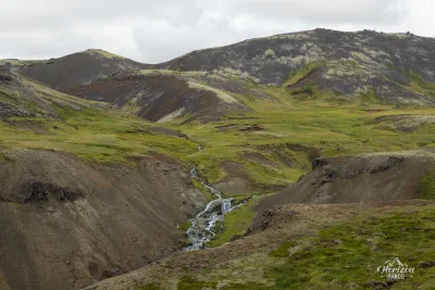
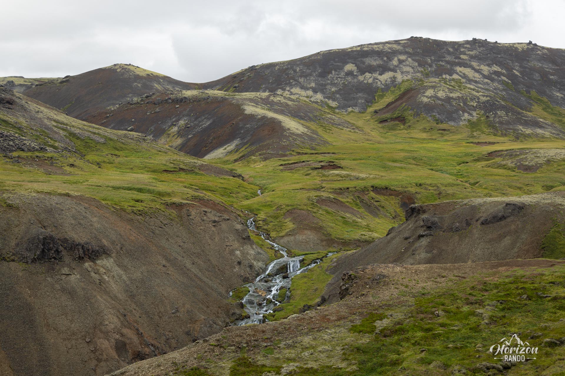
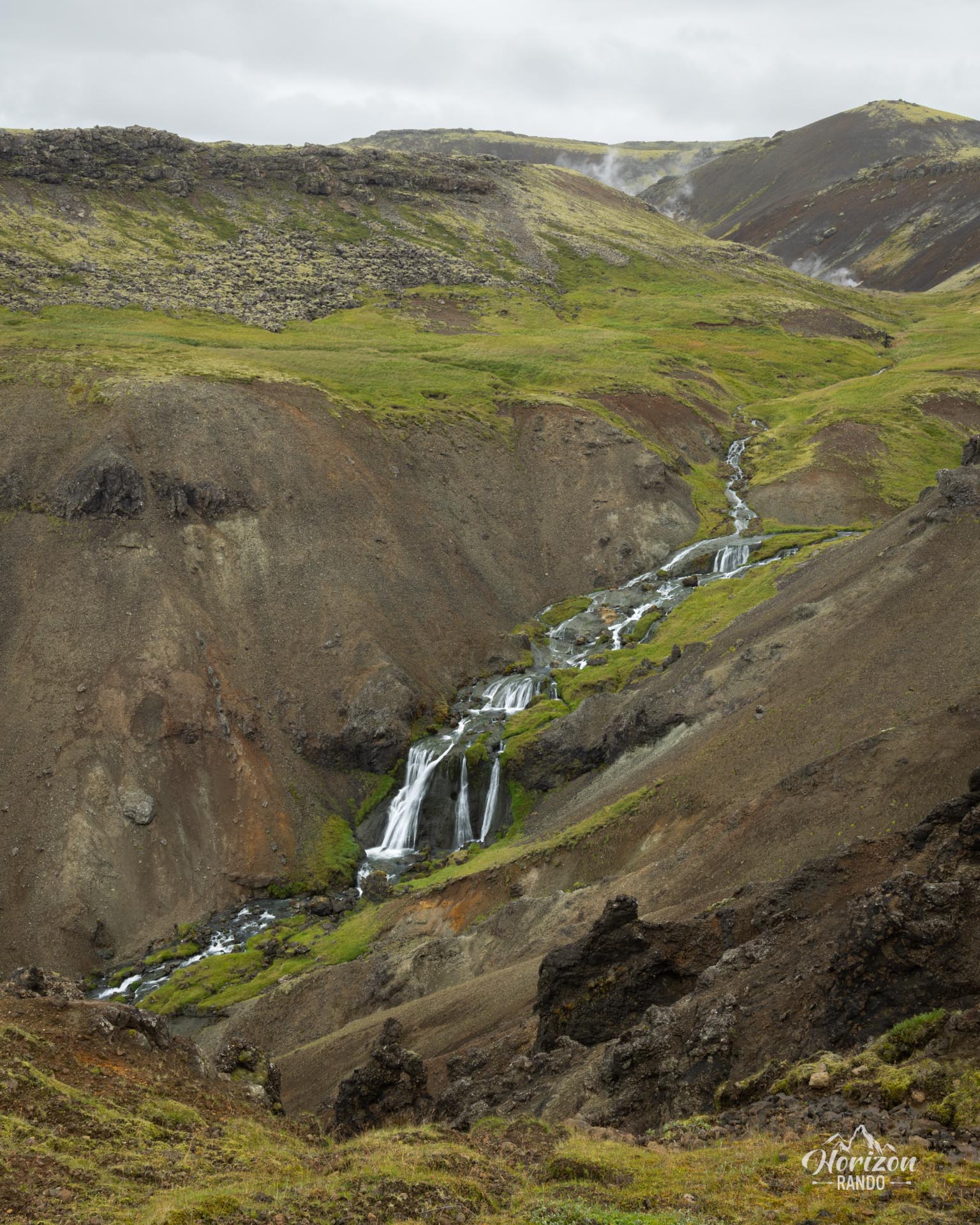
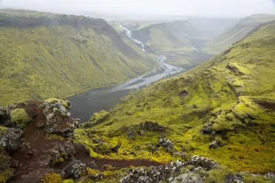
Only do this hike if you want to enjoy a relaxing swim in the river. While the scenery along the route is quite pretty, it doesn't rival the country's most beautiful hikes.
Photos
See all 8 photos →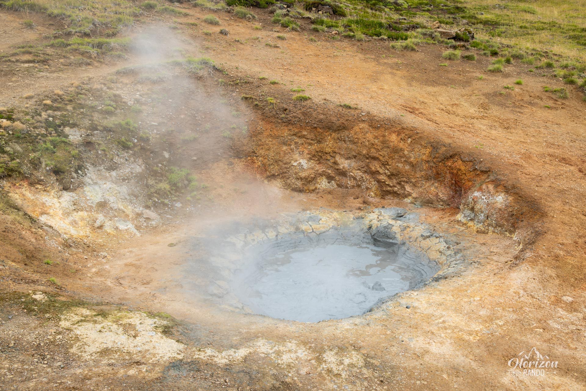
More hikes to do in Iceland
Nearby hikes
Printed from www.horizonrando.fr/en/iceland/reykjadalur-thermal-river/