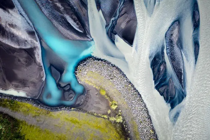
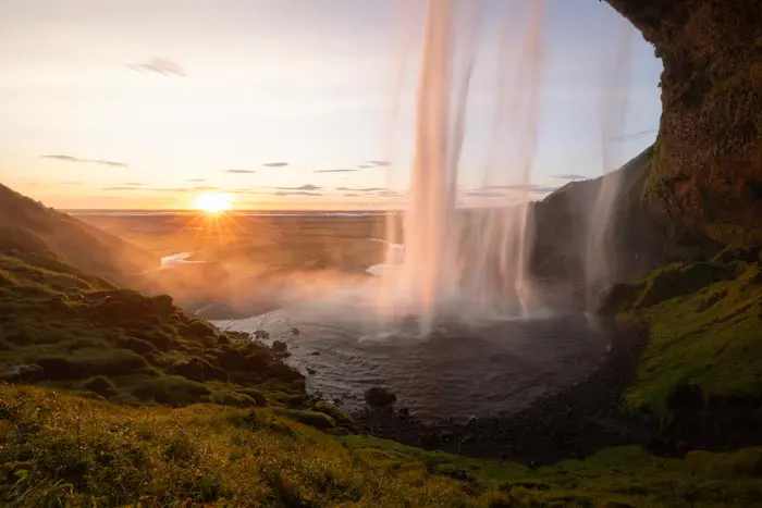
Drone: West Seljandsfoss
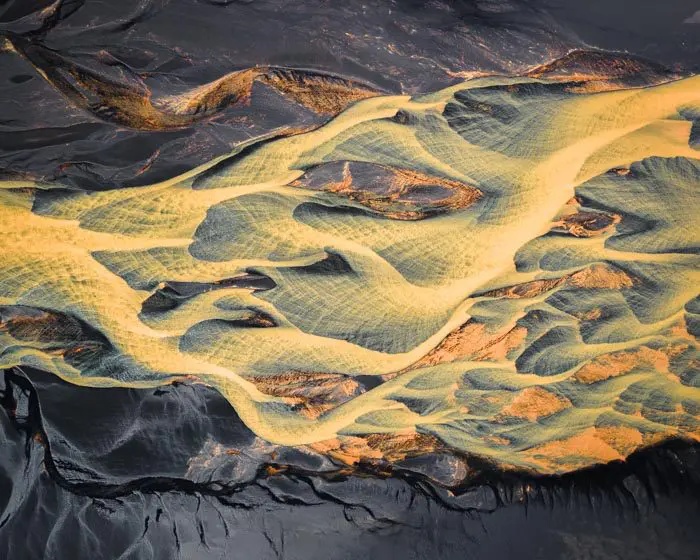
This is the perfect spot to photograph the meandering Krossá river, which winds its way from the Thórsmörk valley and springs from the Mýrdalsjökull ice cap. It lies a few hundred metres west of Seljalandsfoss waterfall.
MY RATING :
Viewpoint technical sheet
Remarks
Important: before any flight, please take note of Iceland's drone legislation. To do so, please consult this site.

Rivière Krossá

Rivière Krossá

Rivière Krossá
Nearby hikes

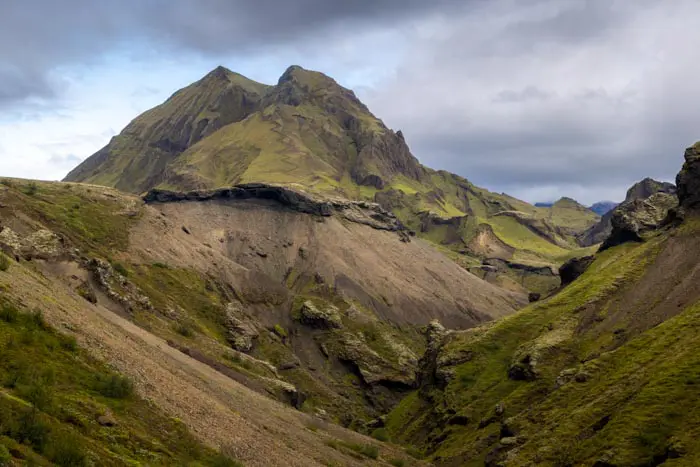
Hikes to discover
Let chance guide your steps: discover a random selection of the best hikes in Iceland.