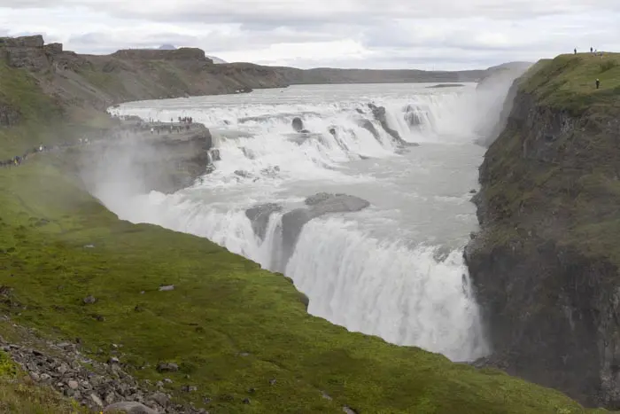
Horseshoe bend in Kerlingarfjöll
A stop along the F347 road will delight photography enthusiasts. Here, the river forms a magnificent horseshoe shape, offering spectacular views.
MY RATING :
Viewpoint technical sheet
Remarks
How to get there: Accessible only in summer, a 4WD is mandatory. Take Route 35, formerly an F-road but now a classic track, then Route F347. No river crossings to negotiate.

Horseshoe bend

Horseshoe bend

Horseshoe bend

Horseshoe bend

Horseshoe bend
Nearby hikes

Kerlingarfjöll Hot Spring Hike
- Difficulty : Easy
- Duration : 1 h
- Distance : 2.9 km
- Elevation gain : 90 m

Snækollur Hike
- Difficulty : Moderate
- Duration : 3 h 15
- Distance : 5.1 km
- Elevation gain : 600 m

Hveradalir Geothermal Area Hike
- Difficulty : Easy
- Duration : 2 h
- Distance : 4.3 km
- Elevation gain : 320 m
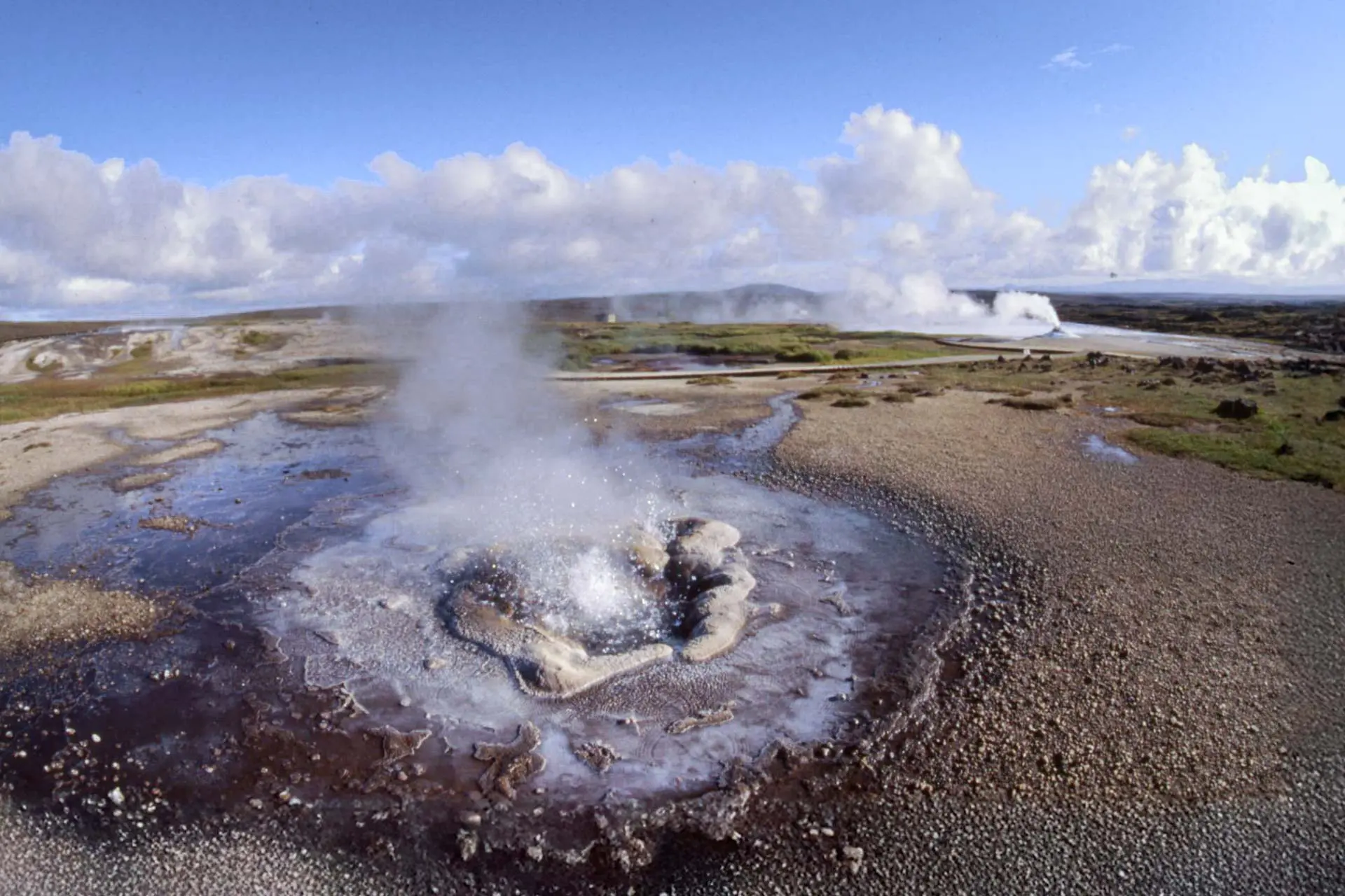
Hveravellir
Hikes to discover
Let chance guide your steps: discover a random selection of the best hikes in Iceland.

Hvannárgil Hike
- Difficulty : Easy
- Duration : 2 h
- Distance : 4.9 km
- Elevation gain : 380 m

Cascades de Kirkjufell

Zone géothermique de Hverir

Fimmvörðuháls Trek
- Difficulty : Very Hard
- Duration : 10 h
- Distance : 23.8 km
- Elevation gain : 1320 m
Bláhnúkur, Skalli and Grænihryggur Circuit
- Difficulty : Very Hard
- Duration : 9 h
- Distance : 23.7 km
- Elevation gain : 1500 m