
Mannen Hike
Hike overview
The hike to Mannen is a must-see classic in the Lofoten Islands, offering one of the most beautiful viewpoints of the paradisiacal Haukland and Uttakleiv beaches. Despite its modest elevation of 400 meters, this peak reveals stunning panoramas where white sand contrasts with turquoise waters and the sharp peaks of the archipelago. This easy climb allows you to quickly experience the iconic beauty of the Lofoten Islands, but its popularity also makes it one of the busiest hikes in the region.
Remarks
Best time to go: Mid-May to mid-October on average. See the Norway FAQ for more details.
Alternative trailhead: You can start the hike from Uttakleiv, which is slightly longer but just as easy.
Parking: Park in the only parking lot in the village on your left before the tunnel to Uttakleiv. Both Haukland and Uttakleiv have paid parking lots equipped with toilets, trash cans, and information points.
Difficulties of the hike
The trail is clearly visible and presents no major difficulties under normal conditions. Do not get too close to the cliff when walking along the ridge; the route never requires it. However, be careful on windy days, as the ridge is exposed to the elements. Finally, expect muddy and slippery terrain in case of rain or high humidity.
What you'll love
- The exceptional panorama: As soon as you reach the ridge, you will enjoy magnificent views and a unique perspective of the turquoise waters of Haukland and Uttakleiv beaches.
- Accessibility: With only 400 meters of elevation gain and a hike of about two hours, this trail offers an excellent effort-to-reward ratio for discovering the beauty of the Lofoten Islands.
- Proximity to beaches: You can cool off at the beautiful beaches near the trailhead after your hike.
Hike technical sheet
➡️ Hiking parameters
➡️ Hiking parameters
➡️ Hiking parameters
Map and elevation profile of the hike
Slideshow


Nearby hikes

Himmeltindan Hike
- Difficulty : Moderate / Hard
- Duration : 5 h
- Distance : 7.7 km
- Elevation gain : 950 m

Holandsmelen Hike
- Difficulty : Easy
- Duration : 2 h 30
- Distance : 5.7 km
- Elevation gain : 450 m

Offersøykammen Hike
- Difficulty : Easy / Moderate
- Duration : 2 h
- Distance : 2.2 km
- Elevation gain : 410 m

Nonstinden Hike
- Difficulty : Easy
- Duration : 2 h 30
- Distance : 5.7 km
- Elevation gain : 520 m
Map of the 10 closest hikes
Hikes to discover
Let chance guide your steps: discover a random selection of the best hikes in Norway.
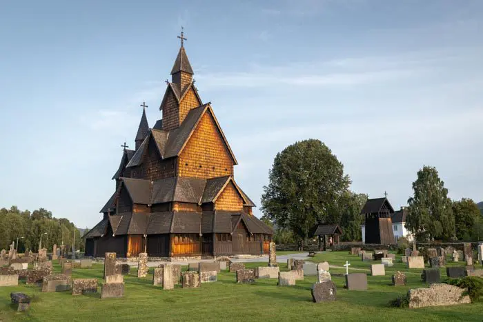
Église de Heddal

Romsdalseggen Ridge Hike
- Difficulty : Hard
- Duration : 6 h
- Distance : 11.4 km
- Elevation gain : 950 m

Helvete Hike
- Difficulty : Hard
- Duration : 5 h 30
- Distance : 9.6 km
- Elevation gain : 850 m

Raudmelen Hike
- Difficulty : Moderate
- Duration : 5 h
- Distance : 9.8 km
- Elevation gain : 920 m

Brunakseltinden Hike
- Difficulty : Easy / Moderate
- Duration : 3 h 30
- Distance : 7.9 km
- Elevation gain : 520 m

Blånebba Hike
- Difficulty : Very Hard
- Duration : 8 h
- Distance : 17.3 km
- Elevation gain : 1660 m