





Offersøykammen Hike
Key facts about the hike
- Duration
- 2h Estimated time, short breaks included (photos, water, snacks), picnic not included: how it is calculated
- Distance
- 2.2km
- out and back
- Elevation gain
- 410m
- Type of route
- Out and back
- Maximum altitude
- 436 m
- Vertiginous Five levels, depending on how exposed the route is: the levels in detail
- Slightly
- Marked
- No
- Popularity
- Moderate
- Island
- Vestvågøya, Lofoten
- Start point
- 68.15439, 13.51368
- Activity
- Hiking
Hike overview
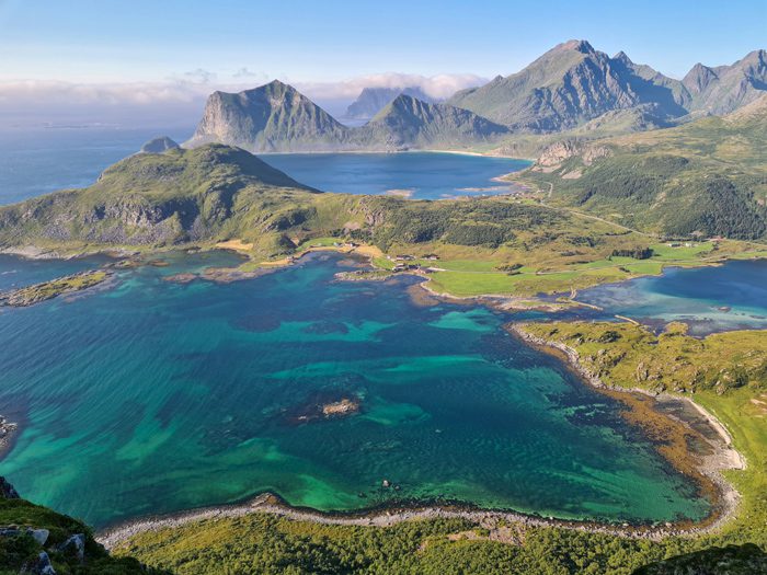
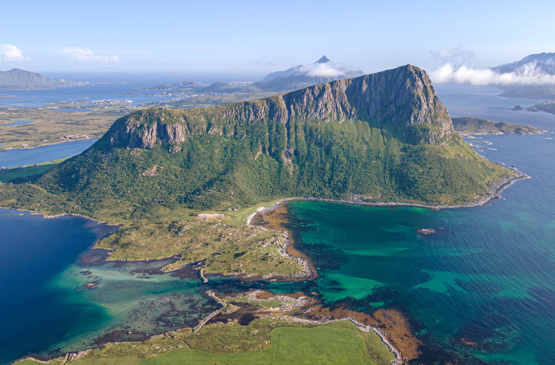
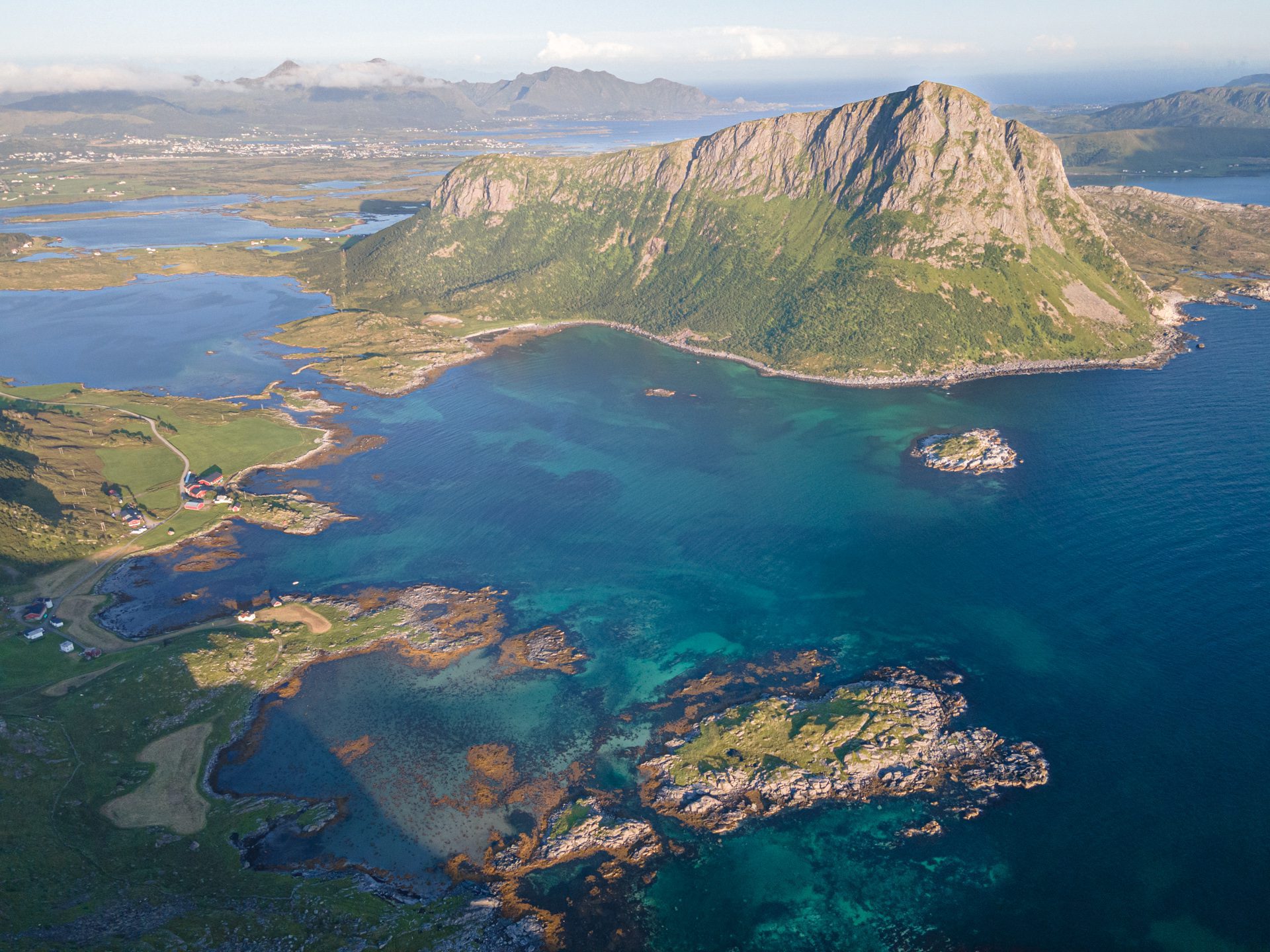
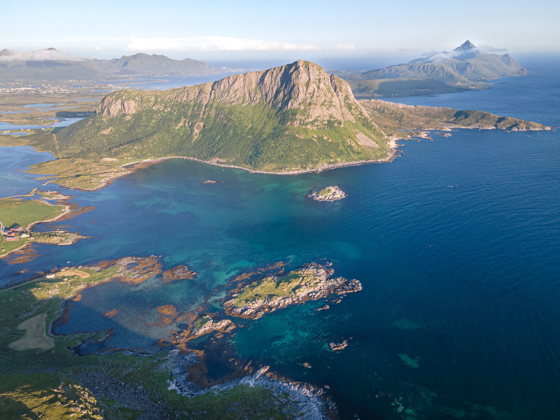
The Offersøykammen hike leads to the summit of an isolated, iconic mountain on Vestvågøya Island, reaching an elevation of 436 meters. This short but steep hike is off the beaten path, making it an excellent way to experience the wild beauty of the Lofoten archipelago.
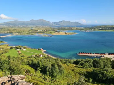
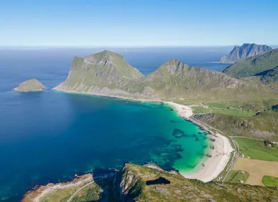
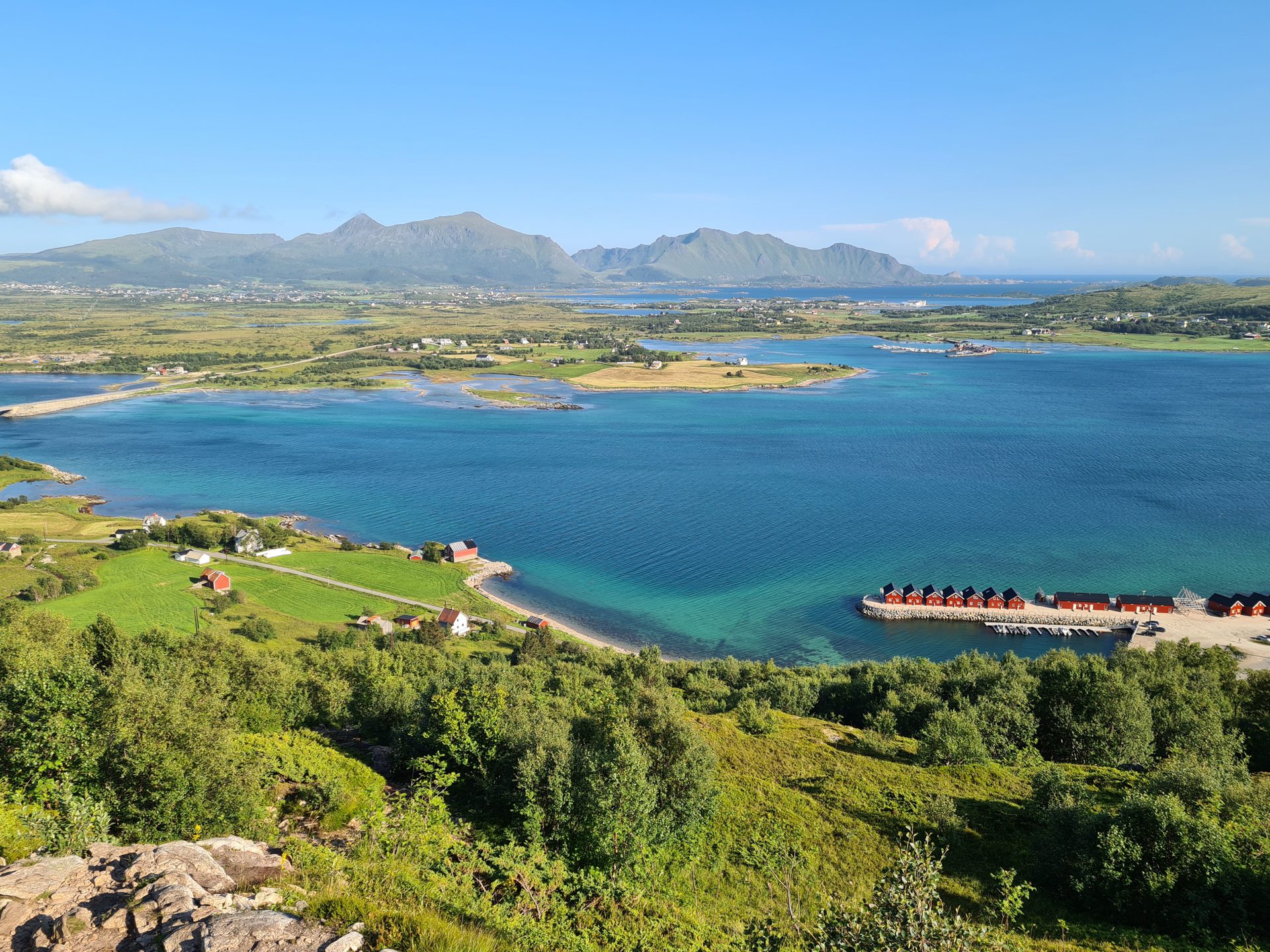
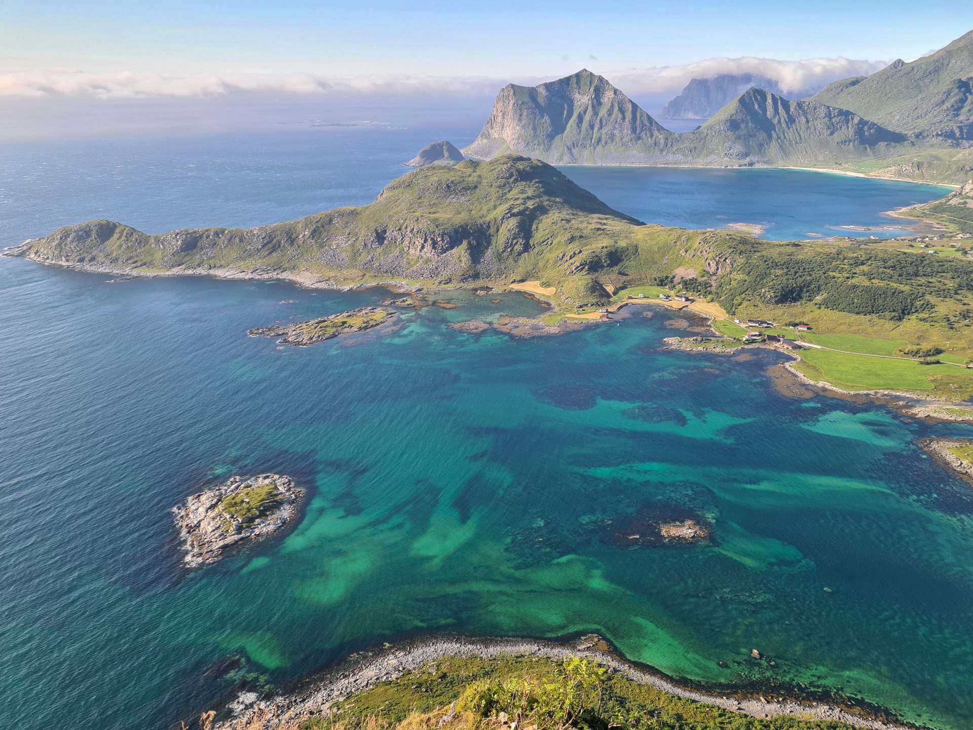
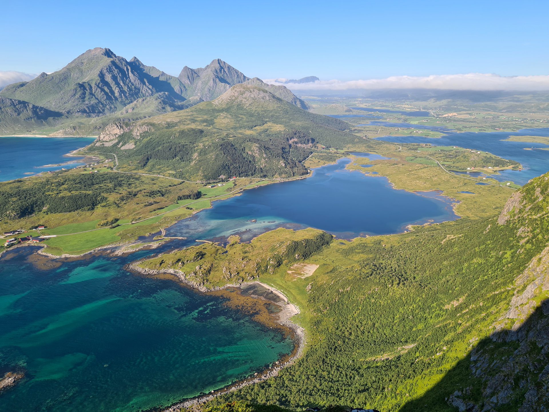
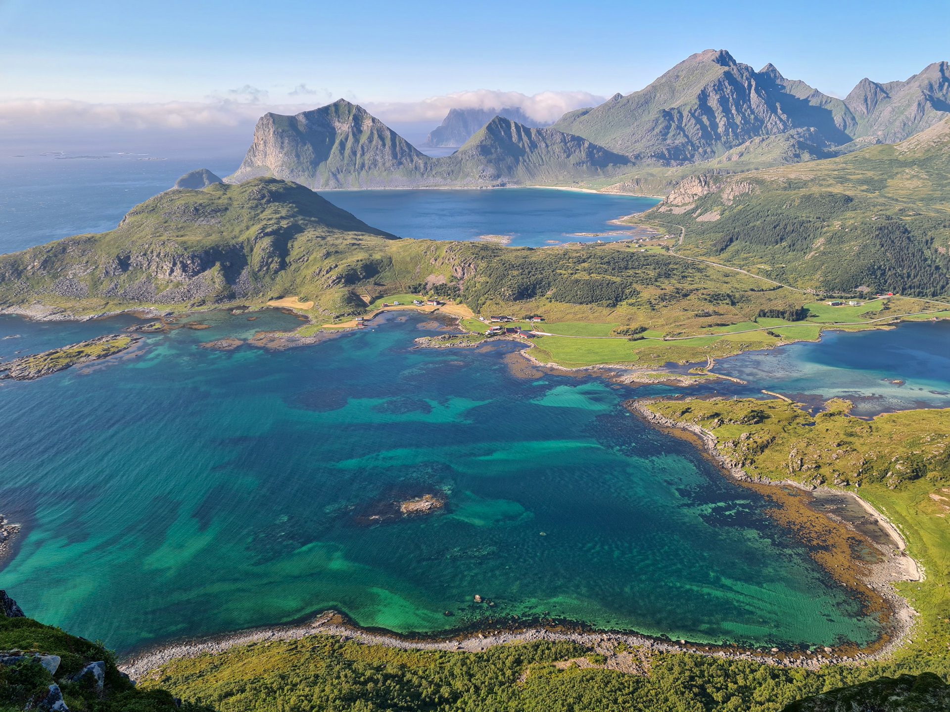
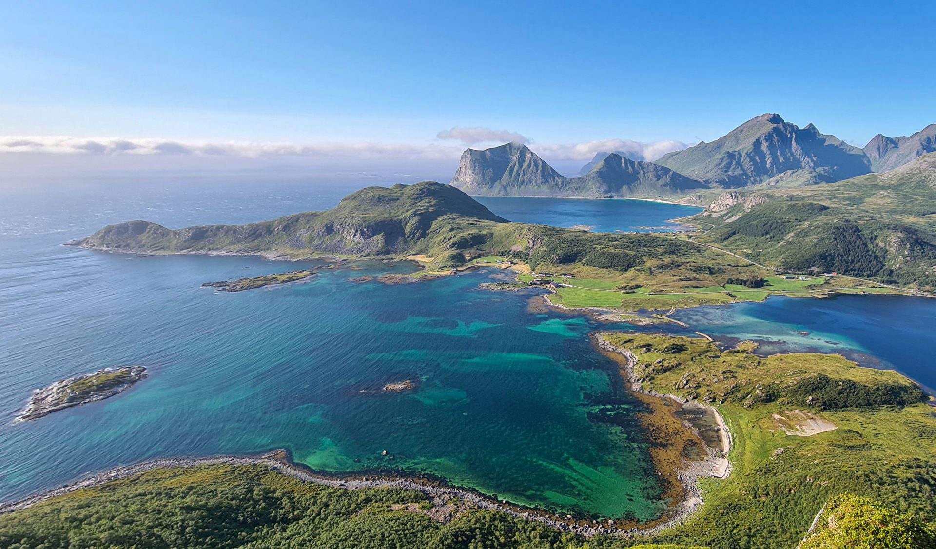
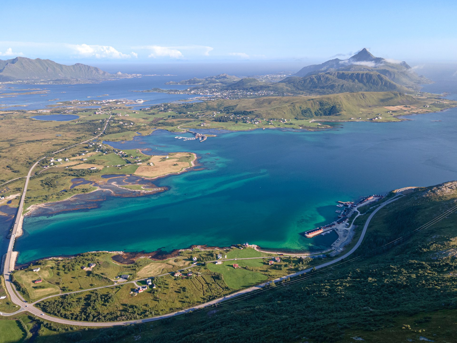
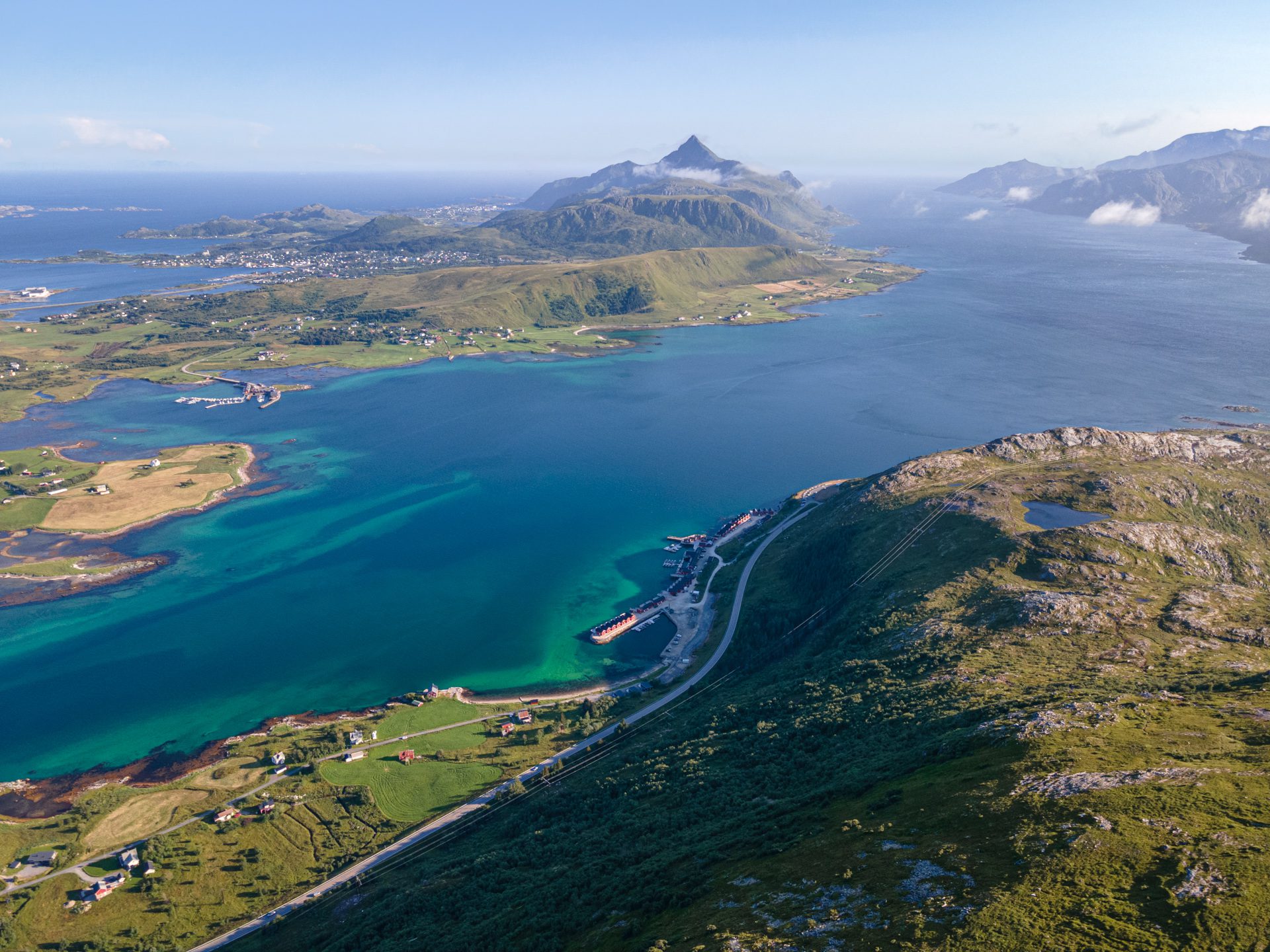
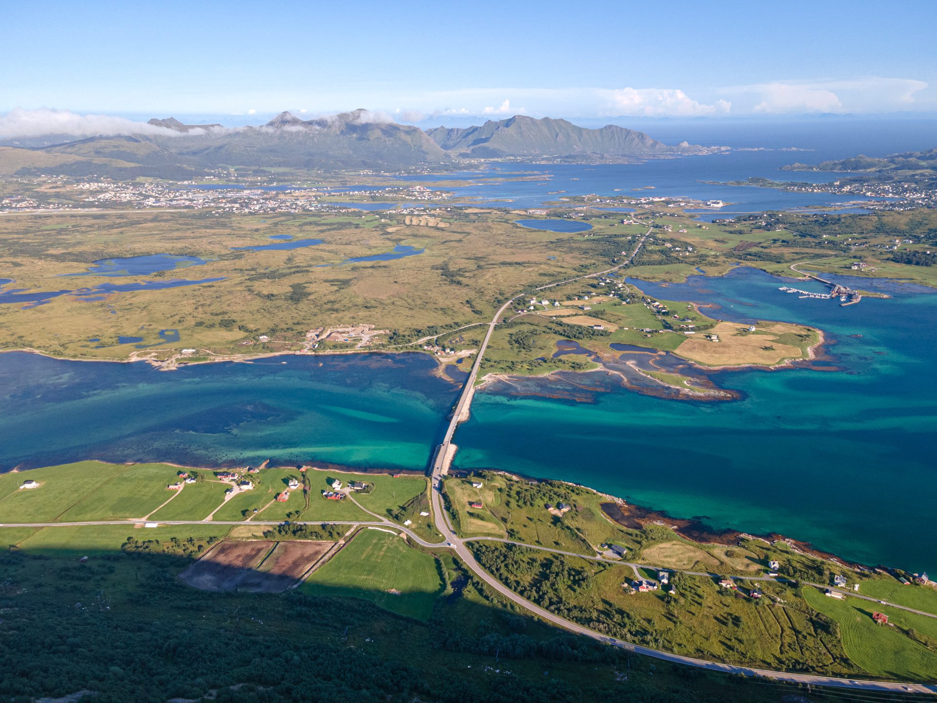
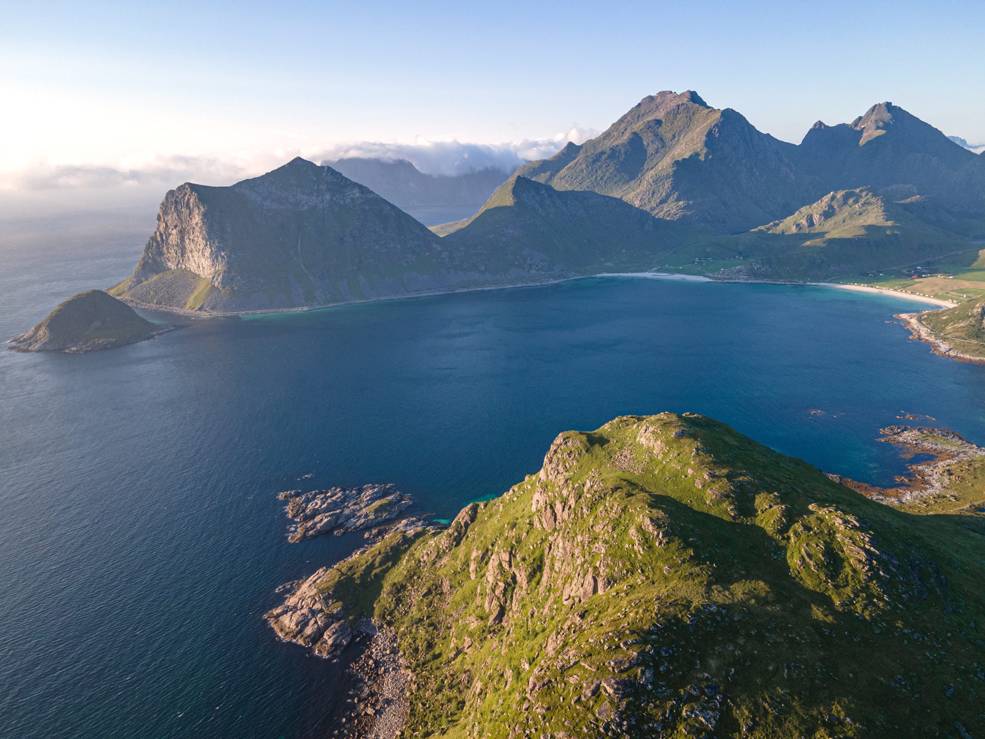
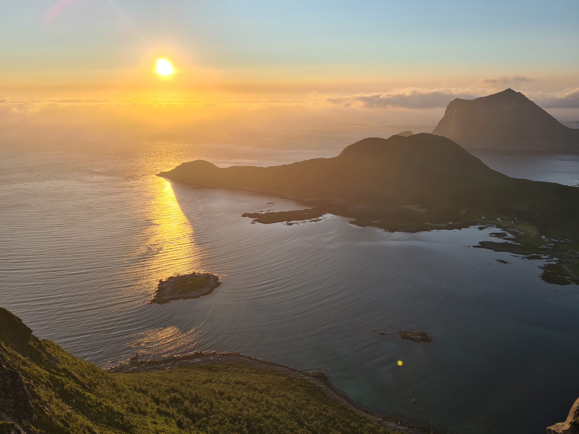
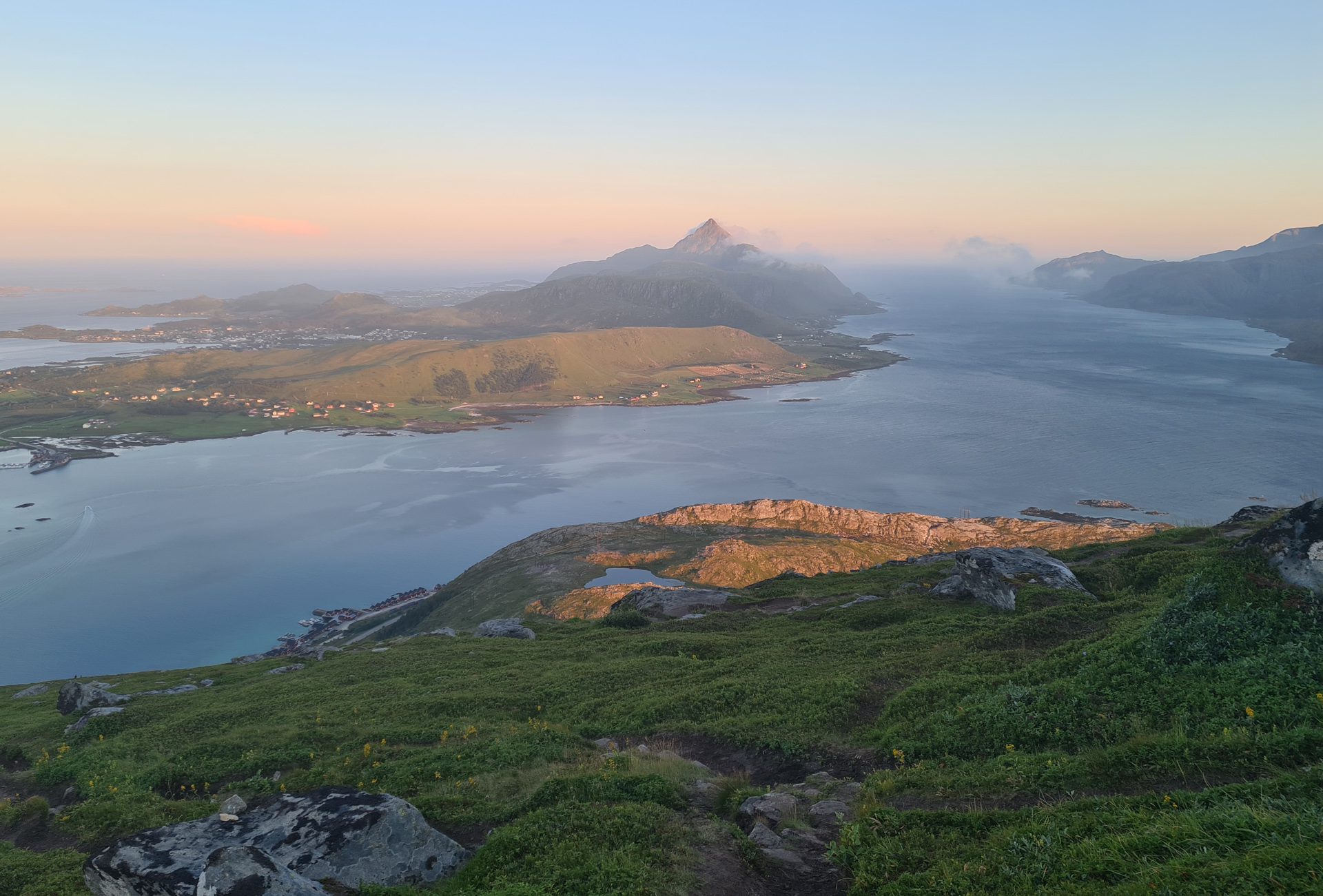
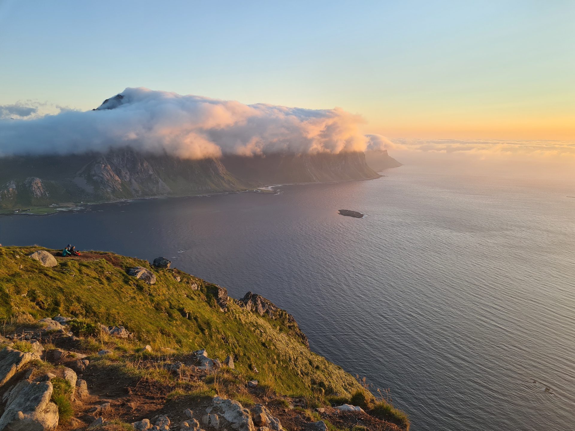
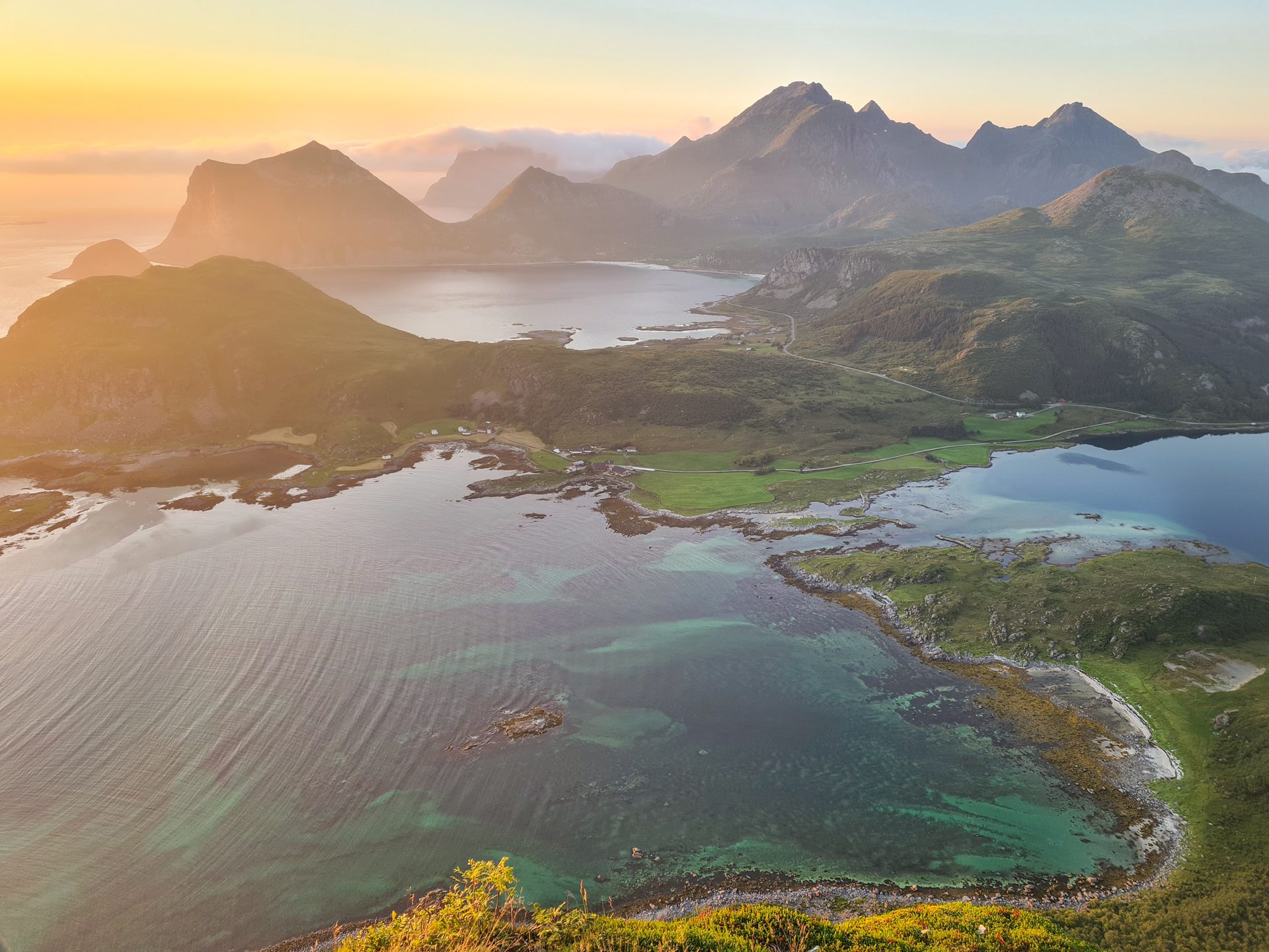
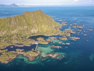
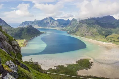
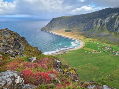
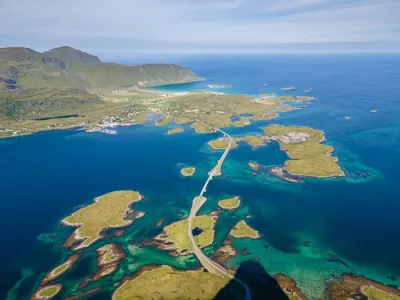
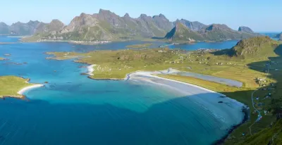
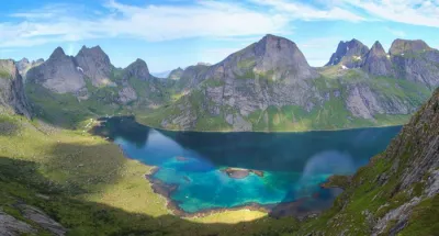
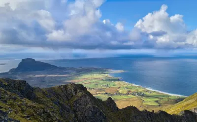
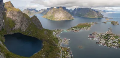
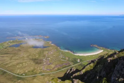
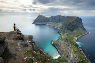
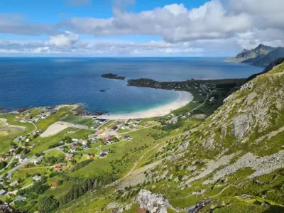
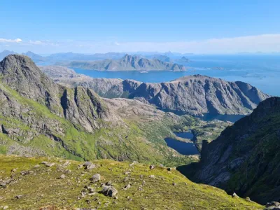
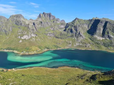
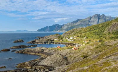
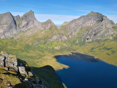
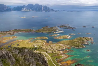
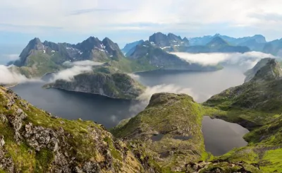
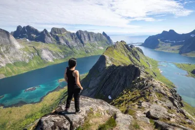
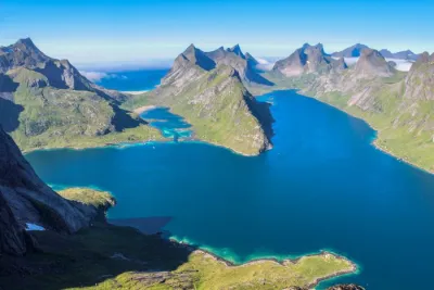
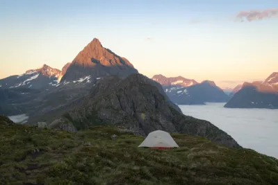
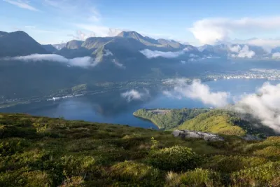
Thanks to its isolation, the summit of Offersøykammen boasts spectacular, unobstructed vistas of fjords, white sandy beaches, the mountains of Vestvågøya, and the Norwegian Sea stretching as far as the eye can see.
Map and elevation profile of the hike
Offersøykammen Hike
Difficulties of the hike
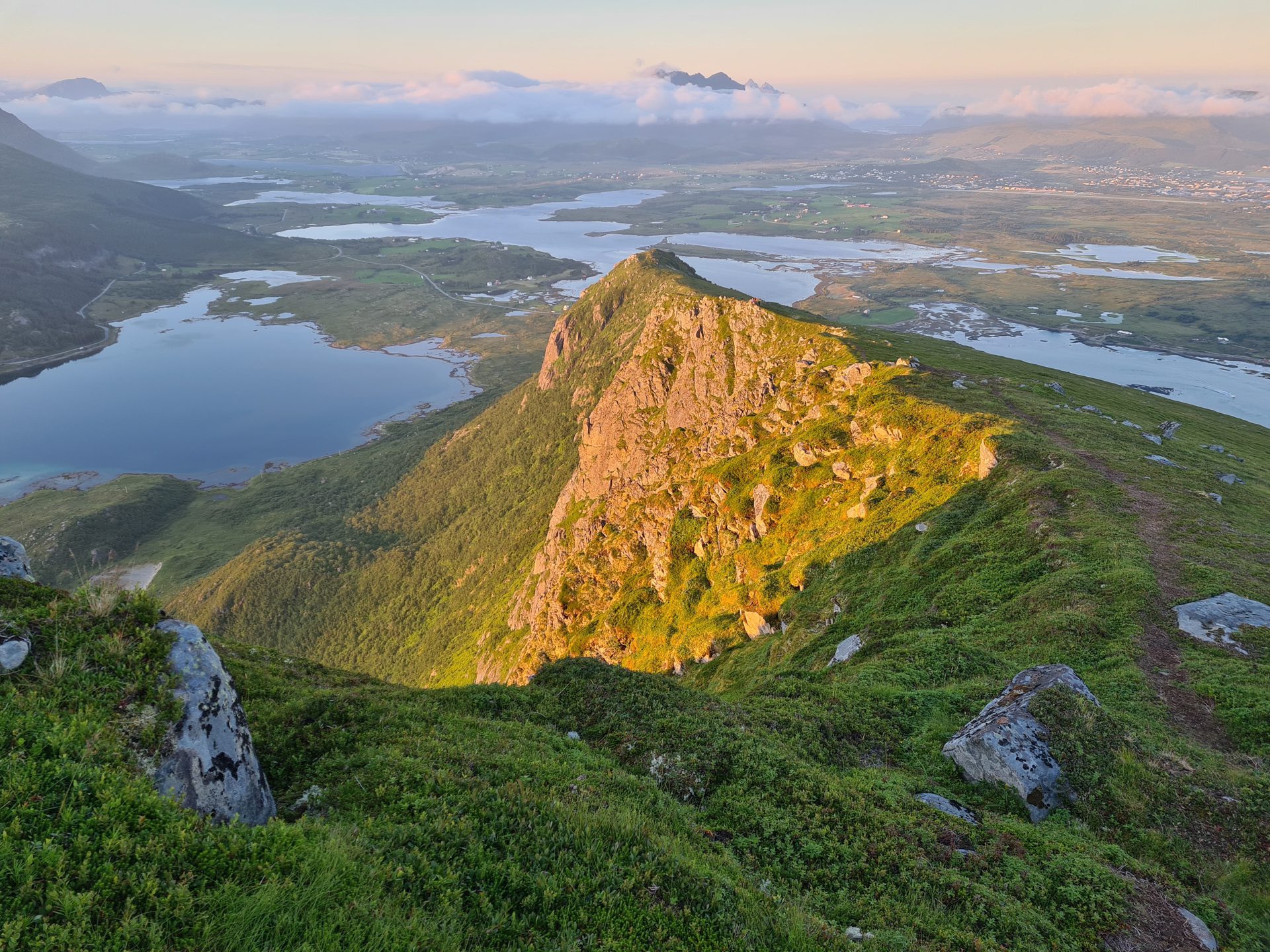
The only real difficulty of this route lies in its steepness from start to finish. With more than 400 meters of elevation gain concentrated in just one kilometer, it is an intense and constant climb. There is no respite, but the climb is direct and incredibly effective!
What you'll love
- A panoramic view from the summit of the fjords, mountains, small islands, and magnificent bays on all sides.
- An excellent effort-to-reward ratio, with relatively easy access to one of the most beautiful viewpoints in Lofoten.
Practical information
Access
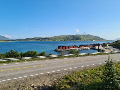
There are several starting points for this hike. One of the most accessible starting points is located across from the rorbuer (fishermen's cabins) visible from the E10, approximately one kilometer after crossing the bridge from Leknes. If you park near the rorbuer, you will find the trail after climbing the embankment and crossing the E10.
Best time to go
June to September on average. See the Norway FAQ for more details.
Photos
See all 18 photos →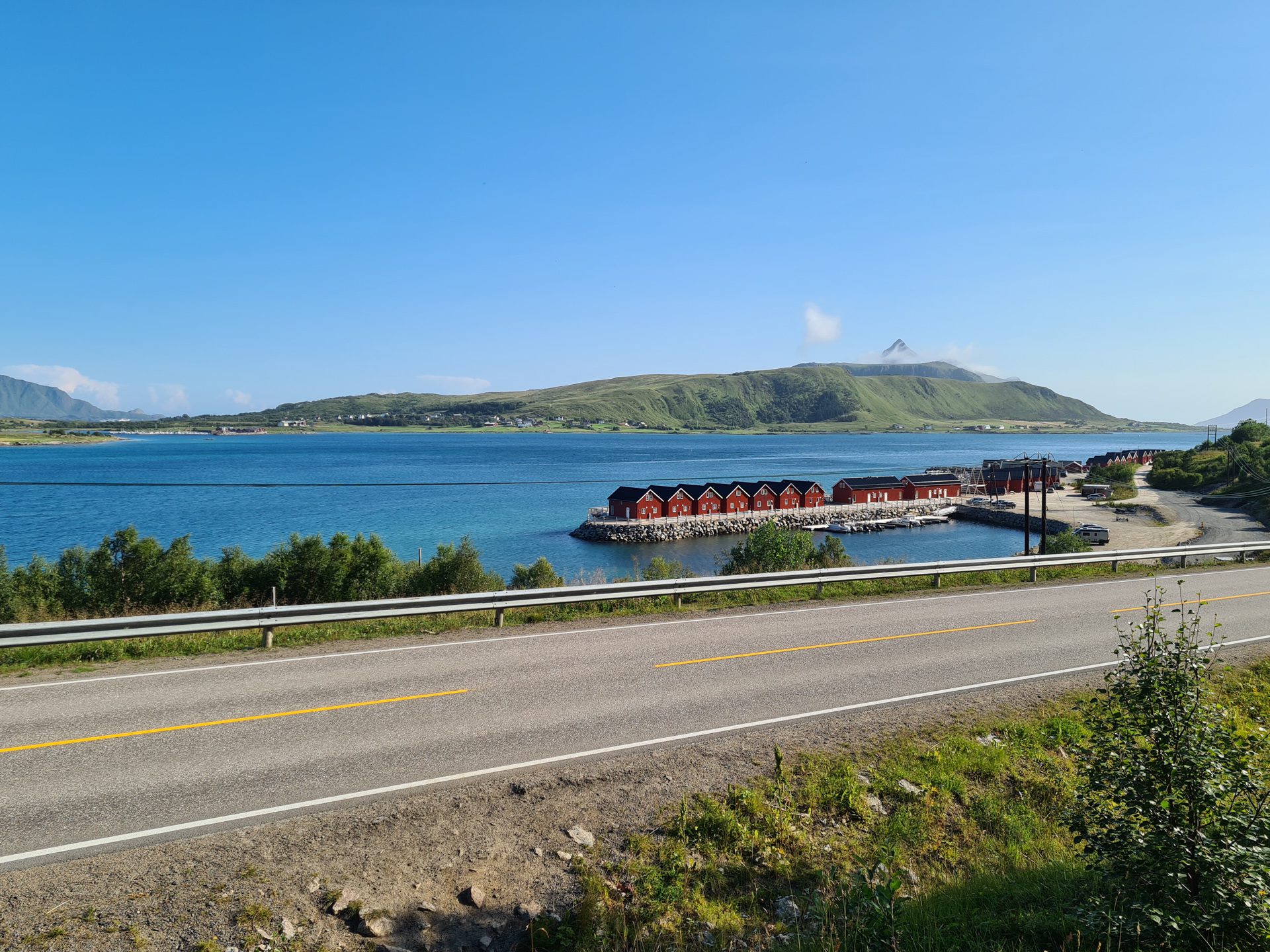
More hikes to do in Norway
Nearby hikes

Printed from www.horizonrando.fr/en/norway/offersoykammen/