
Pozzi sheepfolds Hike
Hike overview
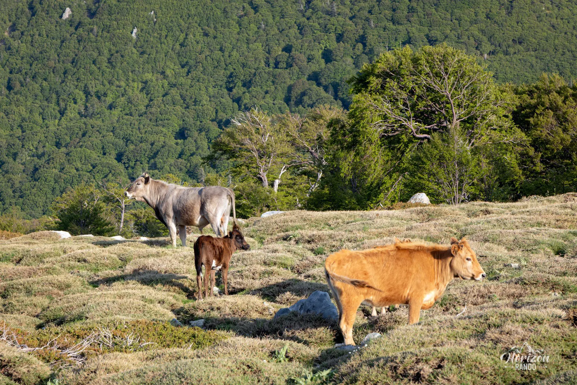
This hike will take you to the Pozzi sheepfolds, where you will discover the Renoso pozzines. These are vast, flat expanses dotted with peat bogs and clear pools of water connected by streams. This picturesque landscape contrasts with the island's usual arid terrain and is an unexpected sight in Corsica.
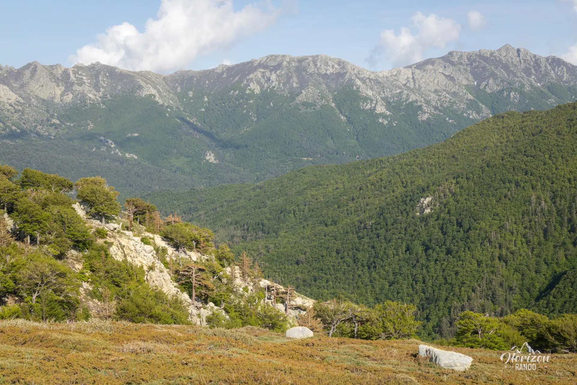
The route begins on an excellent forest trail that follows the GR20 and then branches off to the west at the Gialgone plateau. The terrain is unmarked but not particularly difficult.
Remarks
Departure: A large parking lot is available at Verde Pass, which is located at an altitude of 1,289 meters.
Fragile terrain: Pozzines are fragile natural formations. Stay on the trails to avoid trampling these wetlands and preserving this unique ecosystem.
Difficulties of the hike
The main difficulty of this hike is its length; you will cover nearly 15 km without encountering any significant technical challenges. First, the route takes you along an excellent shaded forest trail, following the red-and-white-marked GR20 for the first half. Then, the trail leaves the GR and branches off to the west at the Gialgone plateau. From there, the path is unmarked, but the hike continues easily through this wild landscape to the Pozzi sheepfolds.
What you'll love
- The magnificent and picturesque spectacle of the pozzines: These peat formations dotted with pools create an enchanting and exotic landscape.
- Crossing the beech and pine forest in the first part of the hike, which offers shade and coolness.
- The tranquility of the area: Unlike the Pozzines of Lake Nino, the Pozzines of the Renoso plateau are largely untouched by crowds.
Hike technical sheet
➡️ Hiking parameters
➡️ Hiking parameters
➡️ Hiking parameters
Map and elevation profile of the hike
Slideshow


")
")
")
")


Nearby hikes

GR20 Stage 12 – Prati to Usciolu
- Difficulty : Moderate
- Duration : 5 h
- Distance : 10.8 km
- Elevation gain : 830 m

GR20 Stage 11 – Capannelle to Prati
- Difficulty : Hard
- Duration : 6 h
- Distance : 17.9 km
- Elevation gain : 990 m

Monte Renoso Hike
- Difficulty : Moderate
- Duration : 3 h 45
- Distance : 7.9 km
- Elevation gain : 660 m

Cascade des Anglais Hike
- Difficulty : Easy
- Duration : 1 h 30
- Distance : 2.8 km
- Elevation gain : 150 m
Map of the 10 closest hikes
Hikes to discover
Let chance guide your steps: discover a random selection of the best hikes in Corsica.

Capu a Cuccula Hike
- Difficulty : Moderate
- Duration : 3 h 45
- Distance : 6.3 km
- Elevation gain : 650 m

Capu di u Vitullu Hike
- Difficulty : Moderate
- Duration : 5 h 30
- Distance : 12.2 km
- Elevation gain : 870 m

Paglia Orba Hike
- Difficulty : Very Hard
- Duration : 8 h 30
- Distance : 18 km
- Elevation gain : 1290 m

GR20 Stage 9 – Alpine Variant
- Difficulty : Hard
- Duration : 7 h
- Distance : 12 km
- Elevation gain : 1090 m

A Maniccia Hike
- Difficulty : Hard
- Duration : 6 h
- Distance : 10.6 km
- Elevation gain : 1150 m

Monte Rotondo from Pietra Piana Hike
- Difficulty : Moderate
- Duration : 4 h 30
- Distance : 6 km
- Elevation gain : 820 m