
Tofana di Rozes Hike
Hike overview
Tofana di Rozes (3,225 m), located a few kilometers southwest of Cortina d'Ampezzo, is one of the most iconic peaks in the Dolomites. Its standard route, which starts from the Dibona Hut, does not include any via ferrata sections, which is a relatively rare feature for a 3,000-meter peak in the region.
The route is long and demanding, featuring steep scree slopes, uncertain navigation, and a few short sections of easy scrambling before reaching the summit. The reward is an exceptional 360° panorama of the Tofane, Cristallo, Sorapiss, Croda da Lago, and surrounding massifs.
Remarks
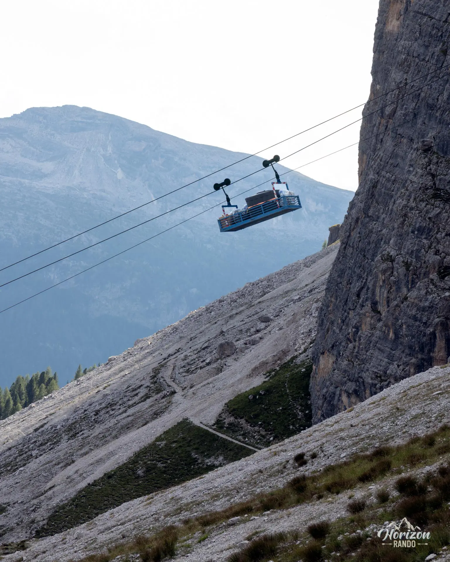
Parking: There is a large, free parking lot at the Dibona refuge. A barrier limits vehicle height to 2.45 meters on the last four kilometers of unpaved road from the junction with SR 48 Cortina–Passo Falzarego.
Ideal time of year: from mid-July to late September when the snowfields have melted and the risk of ice is reduced.
Via Ferrata Option: For properly equipped hikers comfortable with steep terrain, ascending via the Lipella Via Ferrata and descending via the standard route forms the classic loop of the Tofana di Rozes tour—an exceptional itinerary.
Description and difficulties of the hike
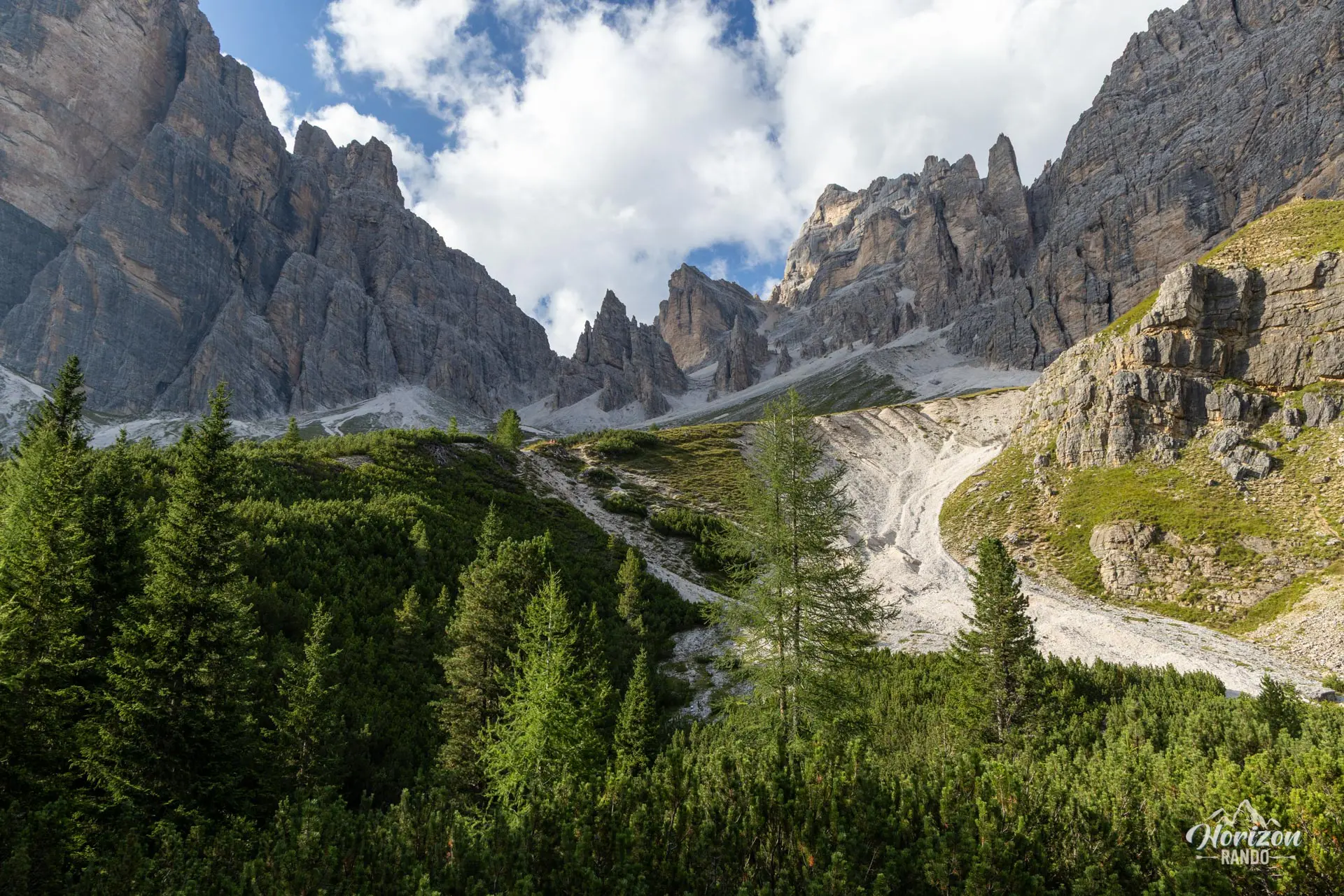
From the Dibona Refuge (2,037 m), follow the wide track heading northwest. Then, turn onto trail no. 403, which winds up through a vast scree field toward Forcella Fontananegra and Rifugio Giussani. The slope is sustained and steady, but there are no technical difficulties. Allow about one and a half hours to reach the refuge.
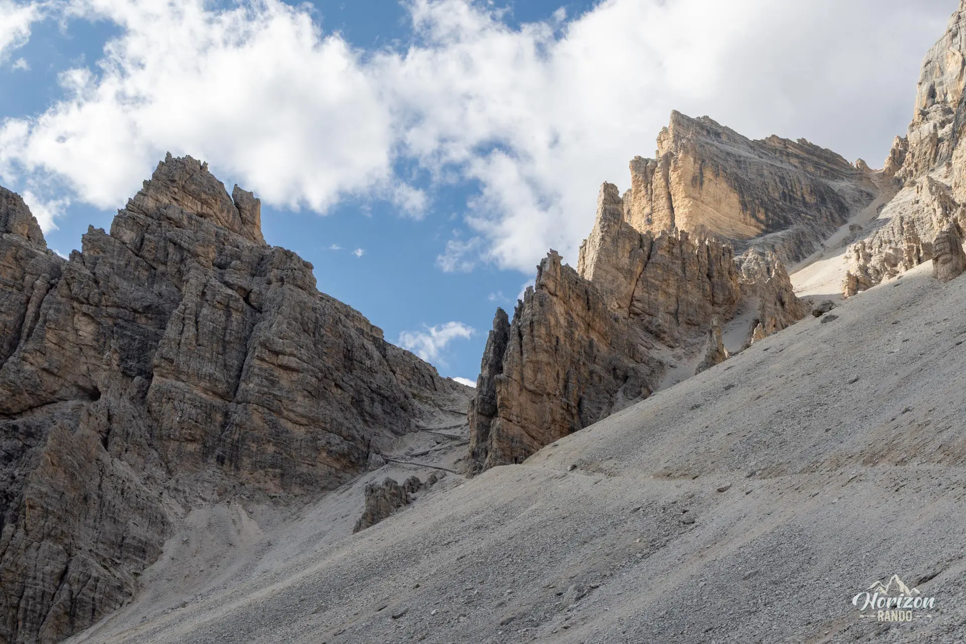
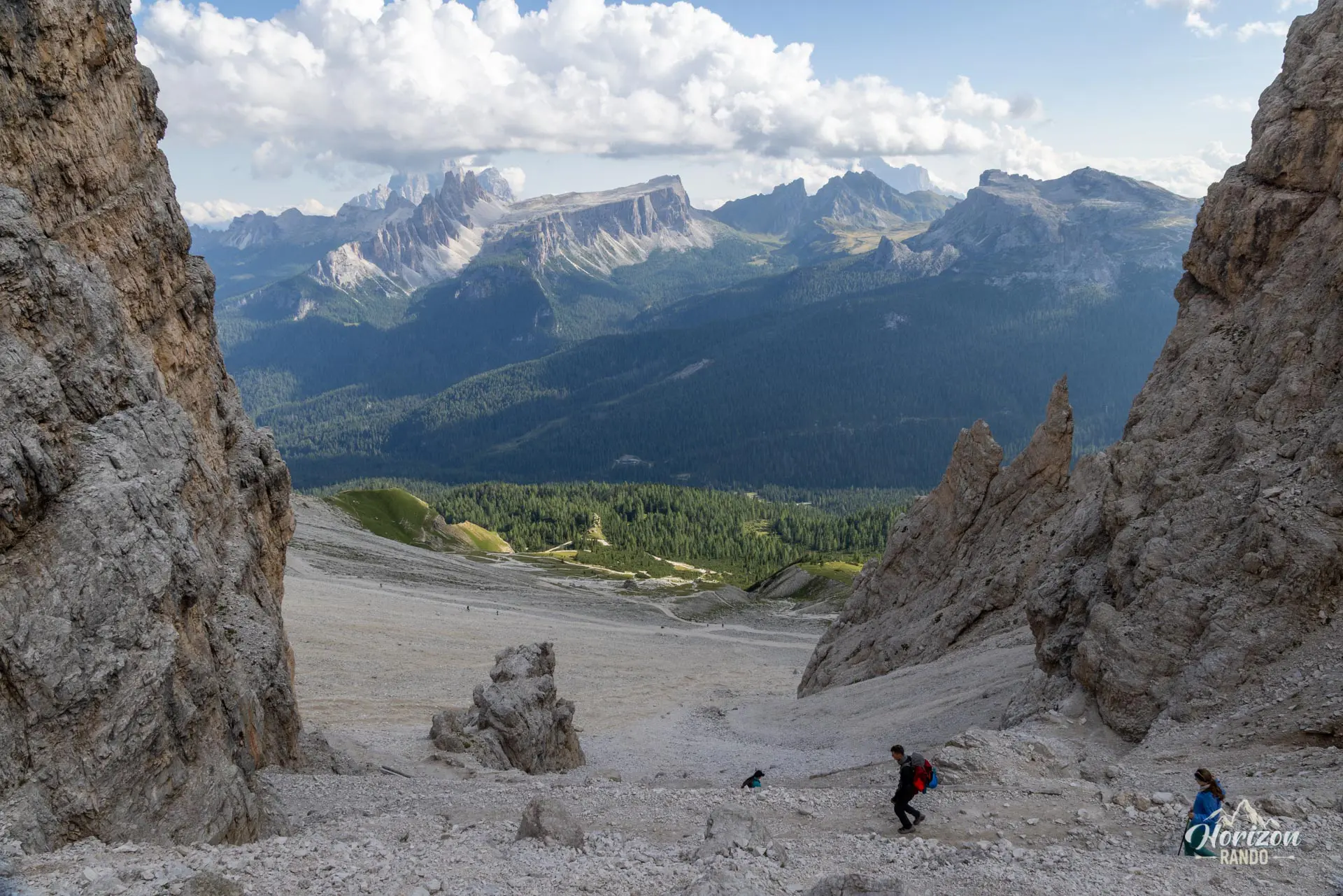
From Giussani, the standard route heads southwest. Finding your way isn't easy: you must follow a faint path through the scree where several parallel tracks are visible. It's easy to veer too high onto ledges that lead nowhere. Look for the cairns and the few red markings, and don't hesitate to turn back if you're unsure. The terrain is typical of the high peaks of the Dolomites, consisting of crumbly scree, sloping slabs, and rock steps that must be bypassed. Progress is slow and involves a few scrambling moves. Constant attention is required.
At around 3,030 meters, the trail reaches the junction with the Lipella via ferrata on the west face. From there, a thirty-minute hike up a steep but technically unchallenging gravel path leads to the summit cross (3,225 m). The descent follows the same route.
What you'll love
- The 360° panorama from the summit is among the most impressive in the region.
- The sense of accomplishment from climbing a legendary Dolomite peak in a high-mountain setting.
- The Rifugio Giussani, which is ideally located halfway up the path for a well-deserved break or snack.
Hike technical sheet
➡️ Hiking parameters
➡️ Hiking parameters
➡️ Hiking parameters
Map and elevation profile of the hike
Slideshow


Nearby hikes

Via Ferrata Lipella - Tofana di Rozes Summit
- Hiking Difficulty : Hard
- Via Ferrata Difficulty : C/D (Difficult)
- Duration : 8 h
- Distance : 11.6 km
- Elevation gain : 1320 m

Via Ferrata Lipella - Tofana di Rozes Loop
- Hiking Difficulty : Moderate
- Via Ferrata Difficulty : C (Difficult)
- Duration : 6 h
- Distance : 9.2 km
- Elevation gain : 810 m

Via Ferrata Ra Bujela
- Hiking Difficulty : Easy
- Via Ferrata Difficulty : B/C (Moderatly difficult)
- Duration : 3 h 30
- Distance : 6.3 km
- Elevation gain : 600 m

Cinque Torri Hike
- Difficulty : Easy
- Duration : 2 h 45
- Distance : 6.9 km
- Elevation gain : 450 m
Map of the 10 closest hikes
Hikes to discover

Croda Fiscalina Loop via Rifugio Locatelli
- Difficulty : Hard
- Duration : 7 h 30
- Distance : 18.5 km
- Elevation gain : 1210 m

Via Ferrata Ra Gusela
- Hiking Difficulty : Easy
- Via Ferrata Difficulty : A (Easy)
- Duration : 3 h 30
- Distance : 8 km
- Elevation gain : 610 m

Via Ferrata Degli Alpini and Monte Lagazuoi
- Hiking Difficulty : Moderate
- Via Ferrata Difficulty : C (Difficult)
- Duration : 5 h
- Distance : 8 km
- Elevation gain : 830 m

Via Ferrata Sass Rigais
- Hiking Difficulty : Very Hard
- Via Ferrata Difficulty : A (Easy)
- Duration : 6 h 30
- Distance : 11 km
- Elevation gain : 1080 m

Via Ferrata Averau
- Hiking Difficulty : Moderate
- Via Ferrata Difficulty : A/B (Easy)
- Duration : 3 h 30
- Distance : 8.4 km
- Elevation gain : 580 m

Via Ferrata Ra Gusela and Averau
- Hiking Difficulty : Moderate
- Via Ferrata Difficulty : A/B (Easy)
- Duration : 4 h 30
- Distance : 9 km
- Elevation gain : 720 m