
Dimmuborgir Lava Field Hike
Hike overview
Discover Dimmuborgir, "the Dark Castles", a vast lava field located east of Lake Mývatn. With its volcanic caves and uniquely shaped structures, Dimmuborgir resembles an ancient citadel in ruins.
This unique geological site formed 2,300 years ago during a volcanic eruption. Lava flowed 12 kilometers from the Hverfjall crater, creating a lava lake that subsequently solidified. Over time, water vapor escaping from the cooling lava carved out the unique columns and rock formations that can be admired today. The site is also the subject of many Icelandic tales and legends.
Remarks
Parking and facilities: There is a large, free parking lot at the start with Café Kaffi Borgir and a souvenir shop (closed in winter). There are pay-to-use toilets.
Mosquitoes in summer: Lake Mývatn ("Mosquito Lake") lives up to its name! Midges can be particularly invasive during the summer months.
Difficulties of the hike
There are several trails ranging from short 10-minute walks to two-hour hikes that allow you to explore Dimmuborgir. The "Church Circle" route leads to a rock formation that resembles a dome and may remind you of a church.
The trails are well-marked with a color-coding system and directional signs at the parking lot and informational panels along the routes. This hike is accessible to all levels. The terrain is generally flat with minimal elevation changes.
What you'll love
- The site's enchanting atmosphere: Lava columns, caves, and strangely shaped rock formations creates an almost fantastical setting that is ideal for letting your imagination run wild.
- The "Kirkjan" (church) formation: This spectacular lava tube with a cathedral-like dome is the highlight of the hike.
- The panoramic views of Lake Mývatn and the Hverfjall crater: The trails offer magnificent views of the surrounding volcanic landscape.
Hike technical sheet
➡️ Hiking parameters
➡️ Hiking parameters
➡️ Hiking parameters
Map and elevation profile of the hike
Slideshow


Nearby hikes

Lake Mývatn, Höfði Hike
- Difficulty : Very easy
- Duration : 0 h 45
- Distance : 1.4 km
- Elevation gain : 30 m

Hverfjall Crater Hike
- Difficulty : Easy
- Duration : 1 h 30
- Distance : 4.5 km
- Elevation gain : 230 m

Zone géothermique de Hverir

Leirhnjúkur Hike
- Difficulty : Easy
- Duration : 1 h 45
- Distance : 4.6 km
- Elevation gain : 100 m
Map of the 10 closest hikes
Hikes to discover
Let chance guide your steps: discover a random selection of the best hikes in Iceland.

Laki Craters Hike
- Difficulty : Easy
- Duration : 1 h 45
- Distance : 3.2 km
- Elevation gain : 260 m

Snækollur Hike
- Difficulty : Moderate
- Duration : 3 h 15
- Distance : 5.1 km
- Elevation gain : 600 m

Eldgjá Canyon Hike
- Difficulty : Easy
- Duration : 2 h
- Distance : 5 km
- Elevation gain : 200 m
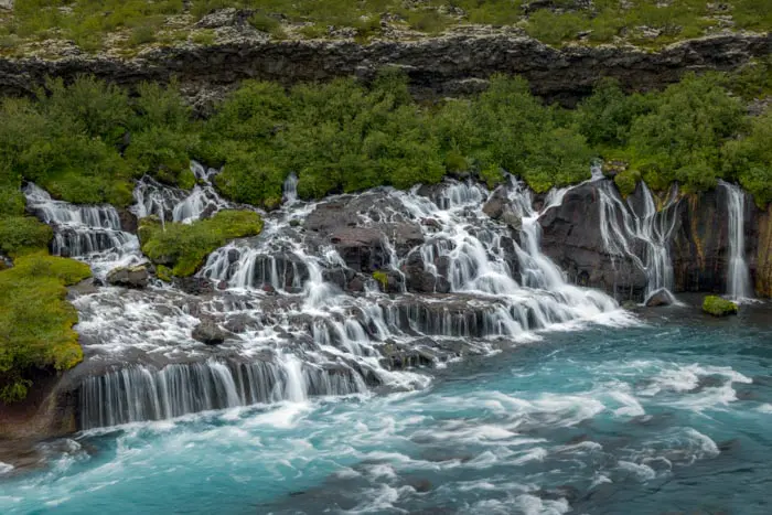
Hraunfossar

Dettifoss East Hike
- Difficulty : Easy
- Duration : 1 h 30
- Distance : 3.9 km
- Elevation gain : 70 m

Tindfjöll Circuit Hike
- Difficulty : Moderate
- Duration : 3 h 30
- Distance : 8.8 km
- Elevation gain : 380 m