





Beinn na Caillich Hike
Key facts about the hike
- Difficulty
- Hard Hikes are rated from very easy to very hard: my difficulty scale
- Duration
- 6h Estimated time, short breaks included (photos, water, snacks), picnic not included: how it is calculated
- Distance
- 8.8km
- Elevation gain
- 1,000m
- Type of route
- Loop
- Maximum altitude
- 732 m
- Vertiginous Five levels, depending on how exposed the route is: the levels in detail
- Moderately
- Marked
- No
- Popularity
- Low
- Region
- Isle of Skye
- Start point
- 57.23351, -5.94677
- Activity
- Hiking
Hike overview
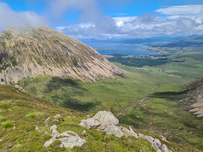
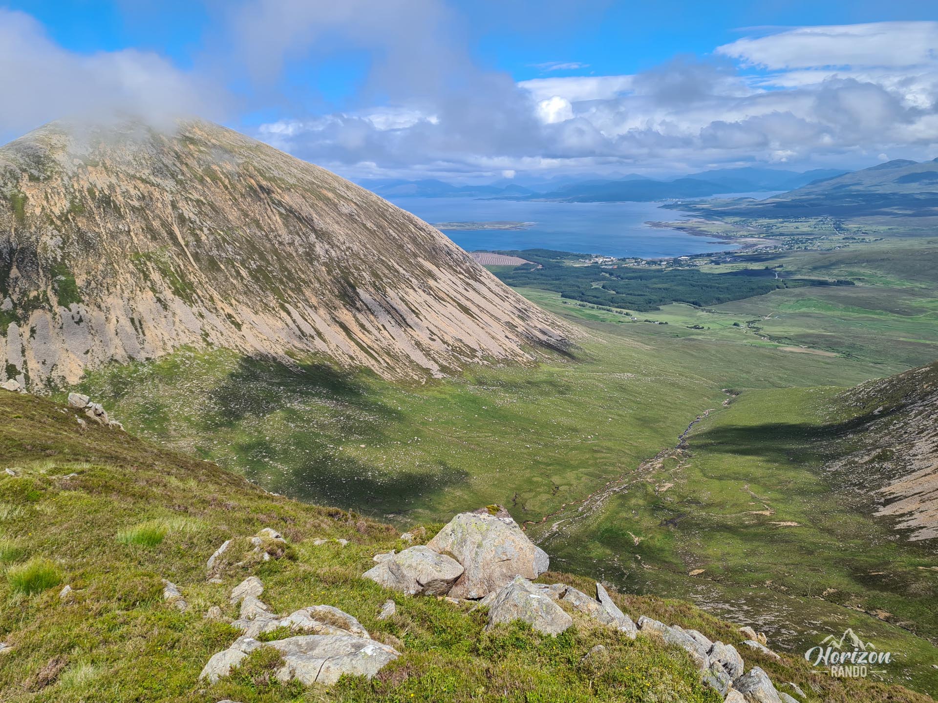
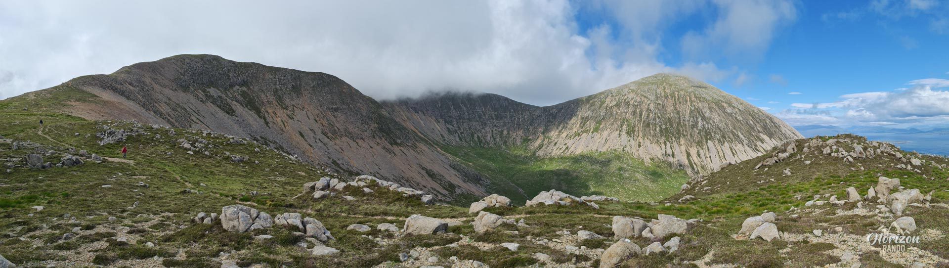
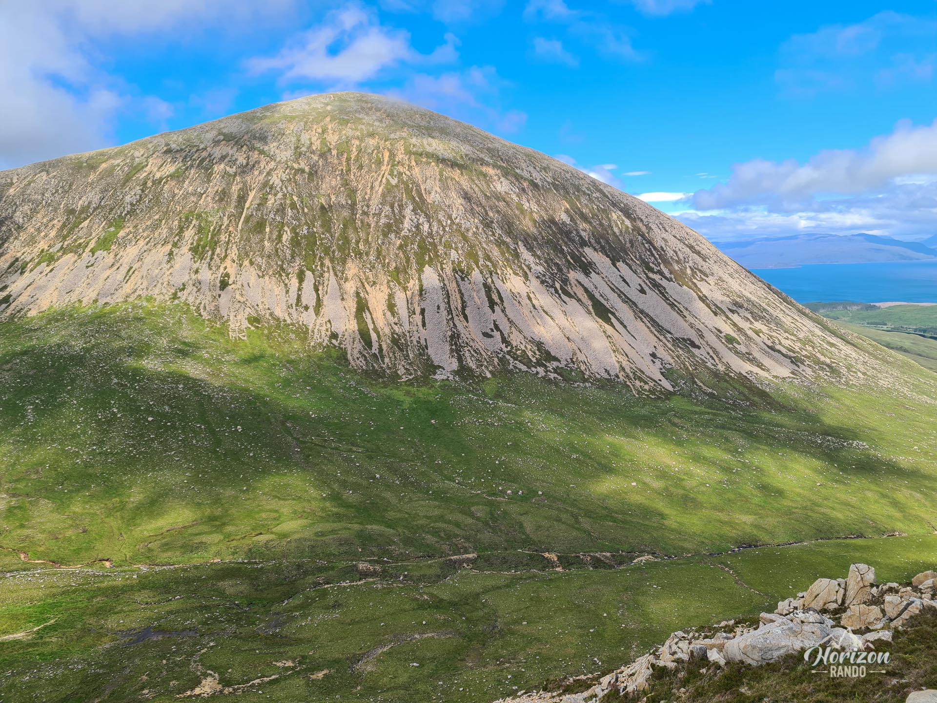
Discover Beinn na Caillich, meaning "the old woman's mountain" in Gaelic, located west of Broadford on the Isle of Skye in Scotland. At 732 meters high, this peak belongs to the Red Hills, a rounded massif composed of granite that gives the hills a reddish hue in certain lights.
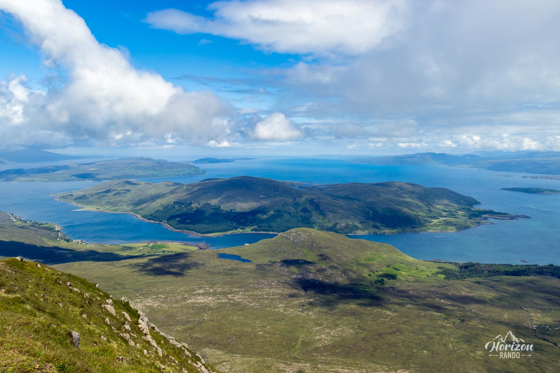
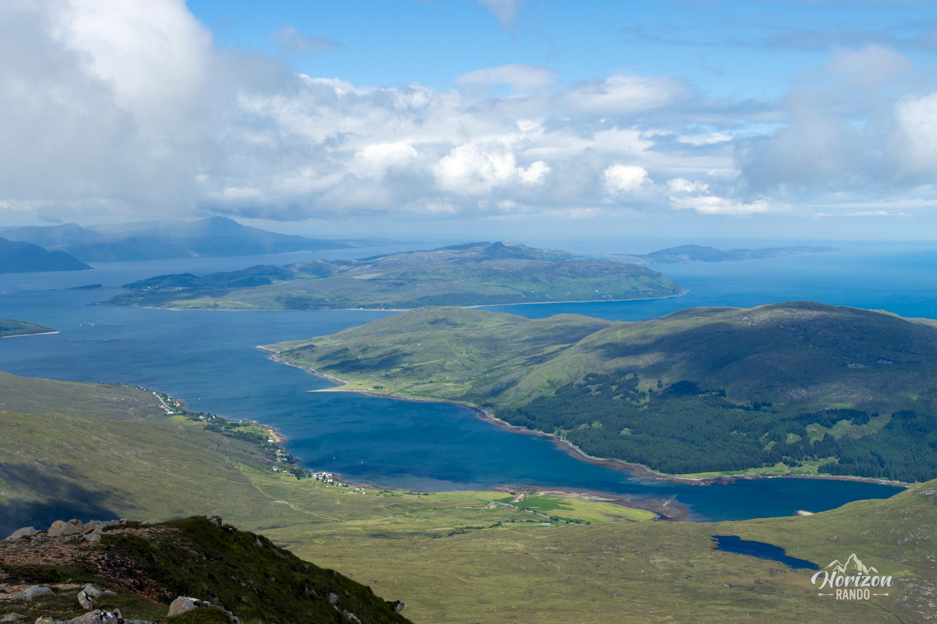
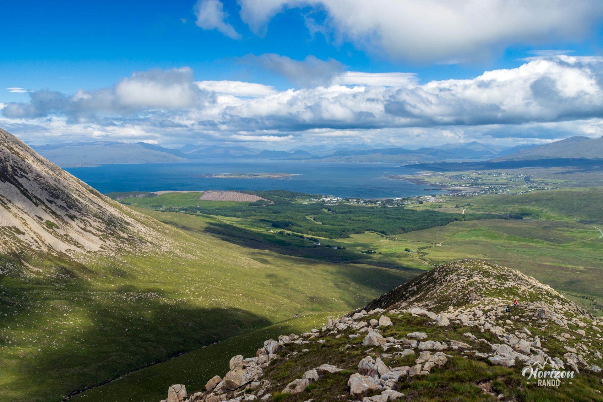
The challenging climb is rewarded with exceptional 360-degree panoramic views of much of the Isle of Skye. Due to its difficulty and lack of a well-marked trail, this hike is not very popular, ensuring an authentic experience in the heart of Skye's wilderness.
Map and elevation profile of the hike
Beinn na Caillich Hike
Description and difficulties of the hike
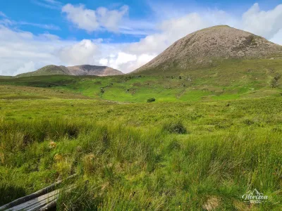
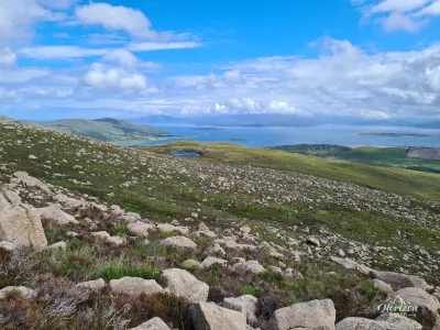
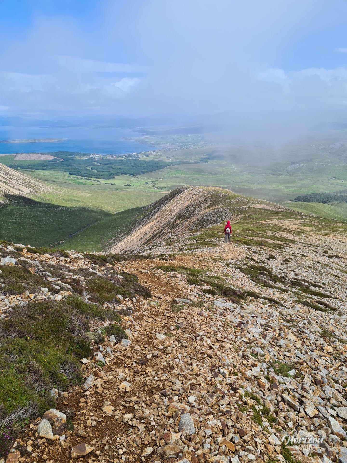
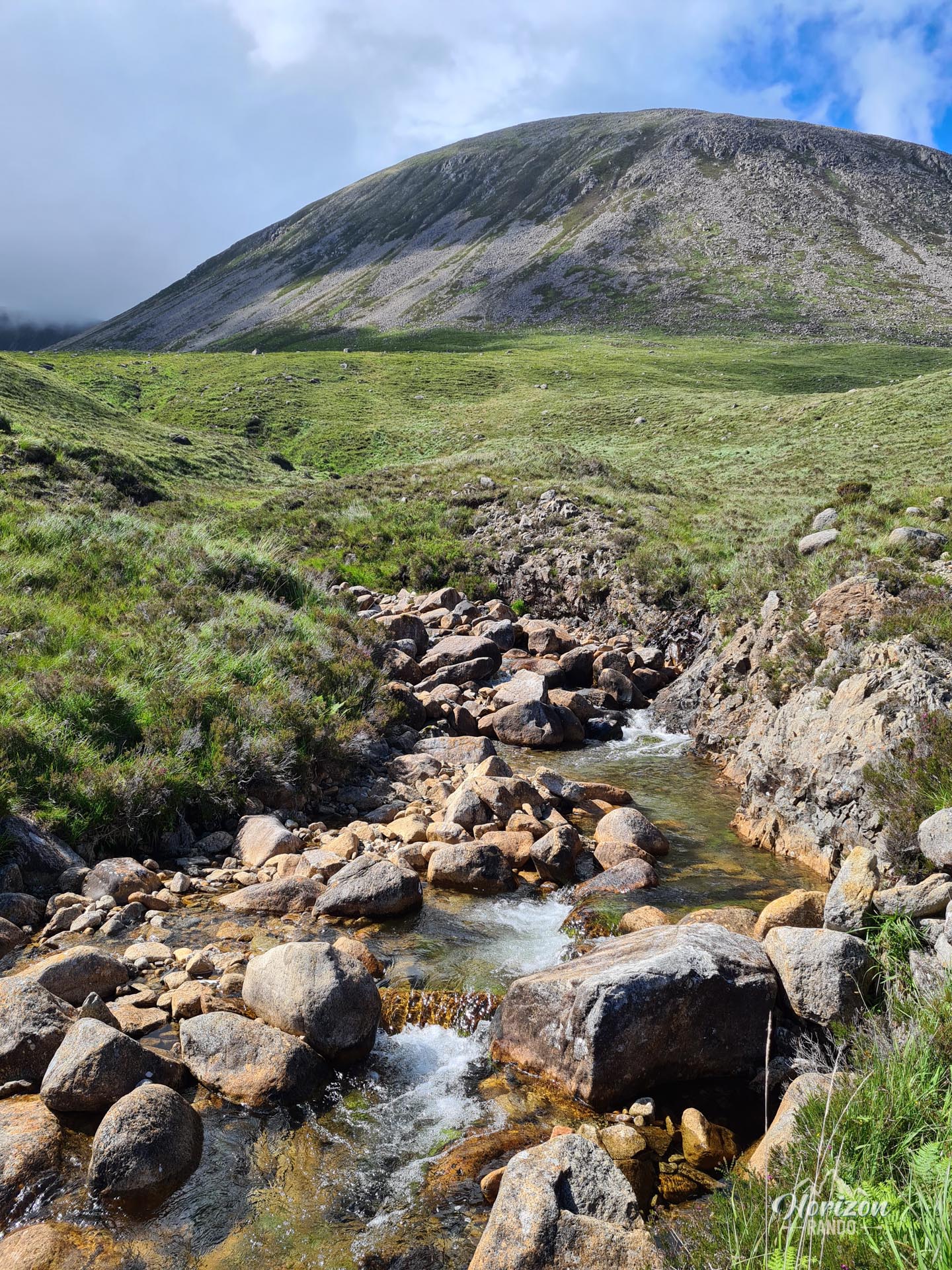
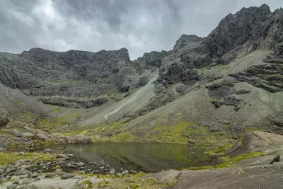
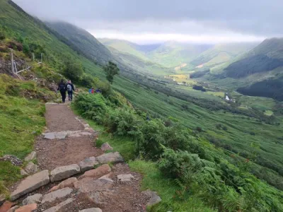
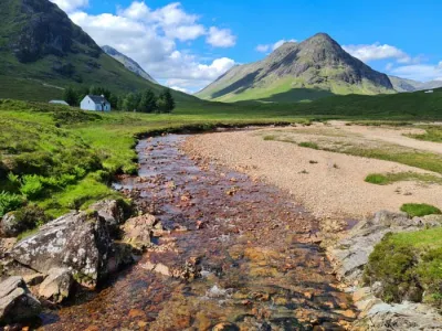
This difficult, partly off-trail route requires good physical condition. The approach begins with crossing marshy areas before reaching the foot of the mountain. The initial ascent to Beinn na Caillich is steep and takes place on uneven terrain that alternates between grass, heather, scree, and rock fields. The absence of a marked trail means you must find your own way up the steep slope, which makes the climb physically demanding.
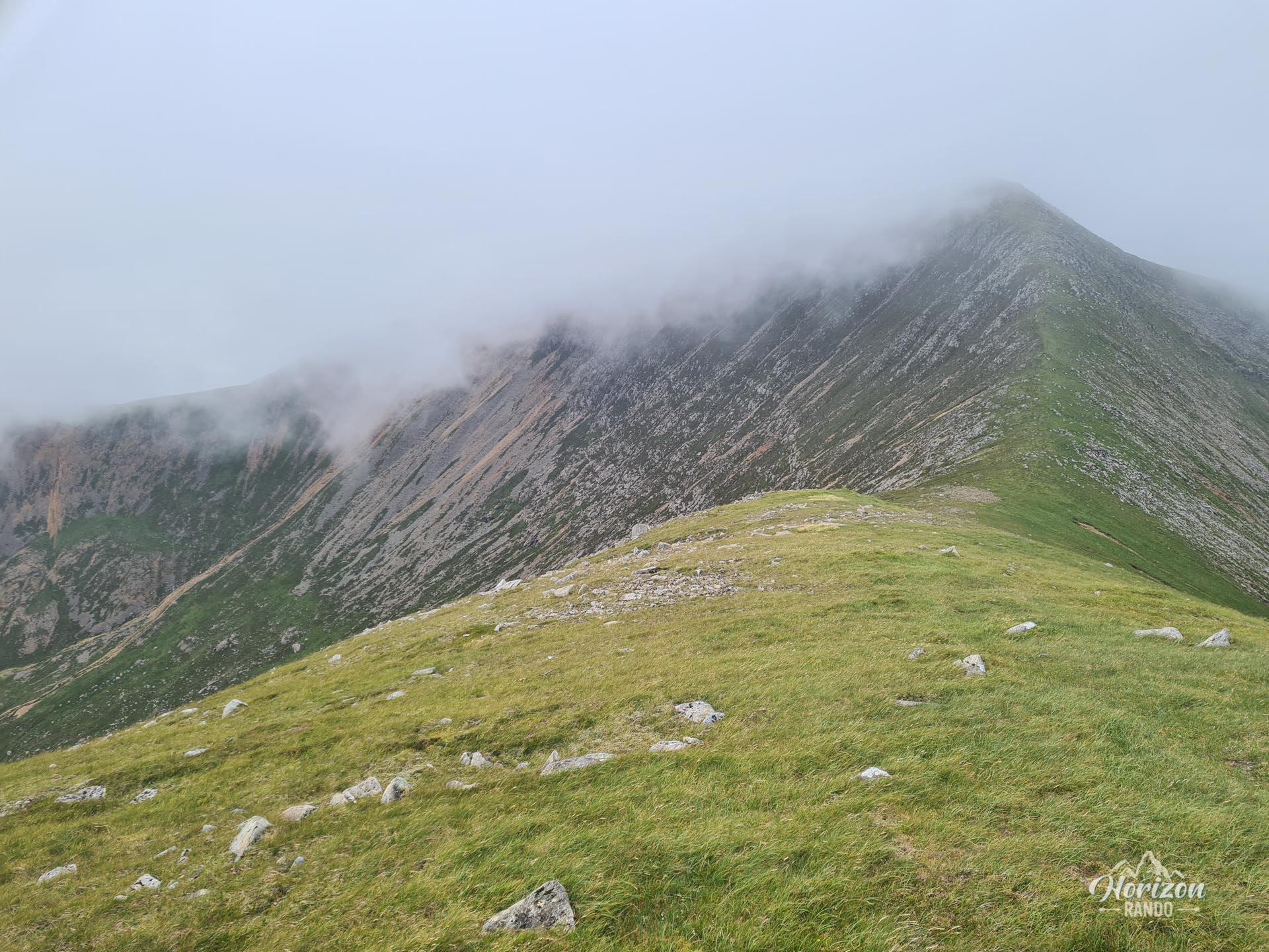
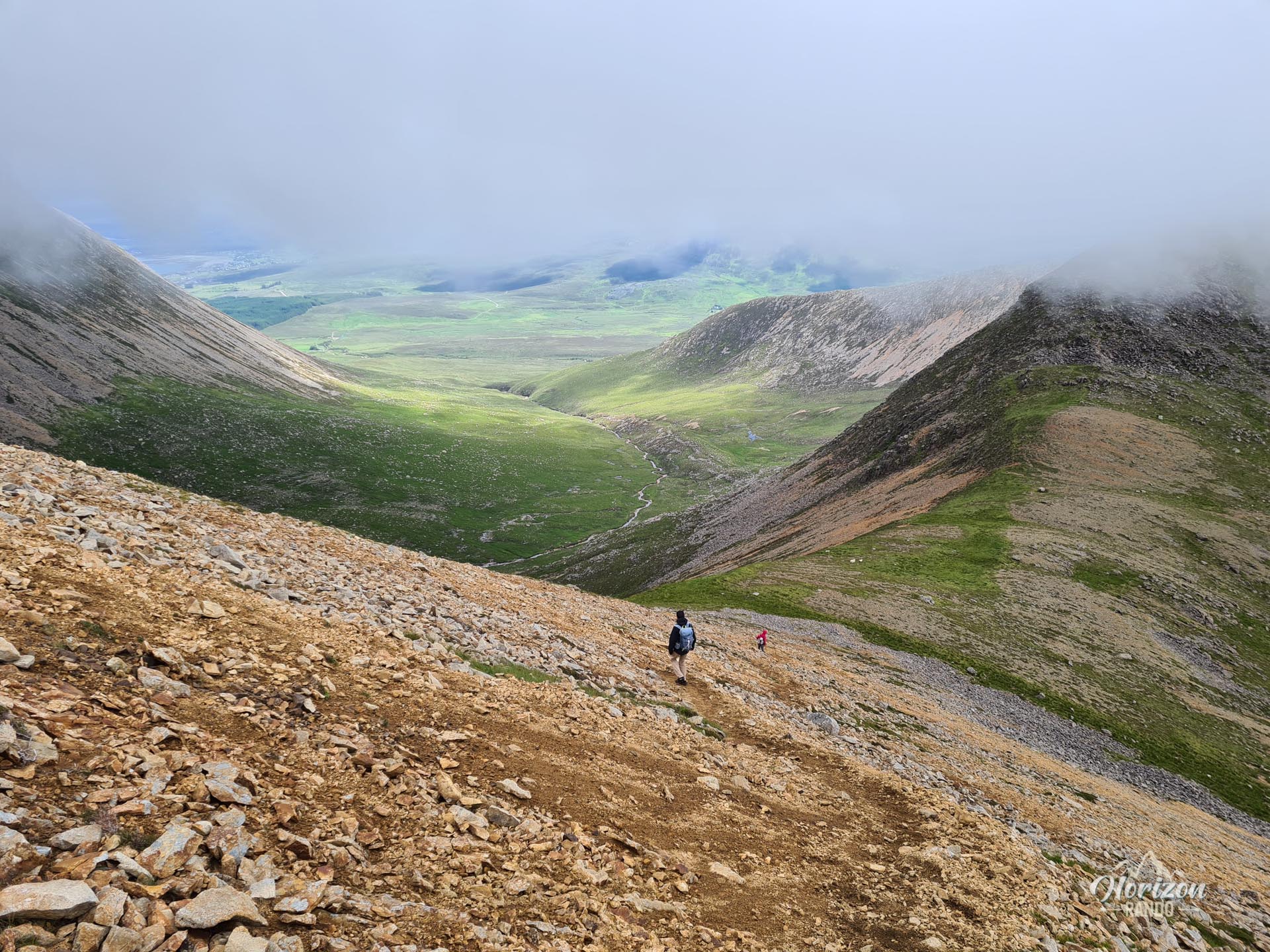
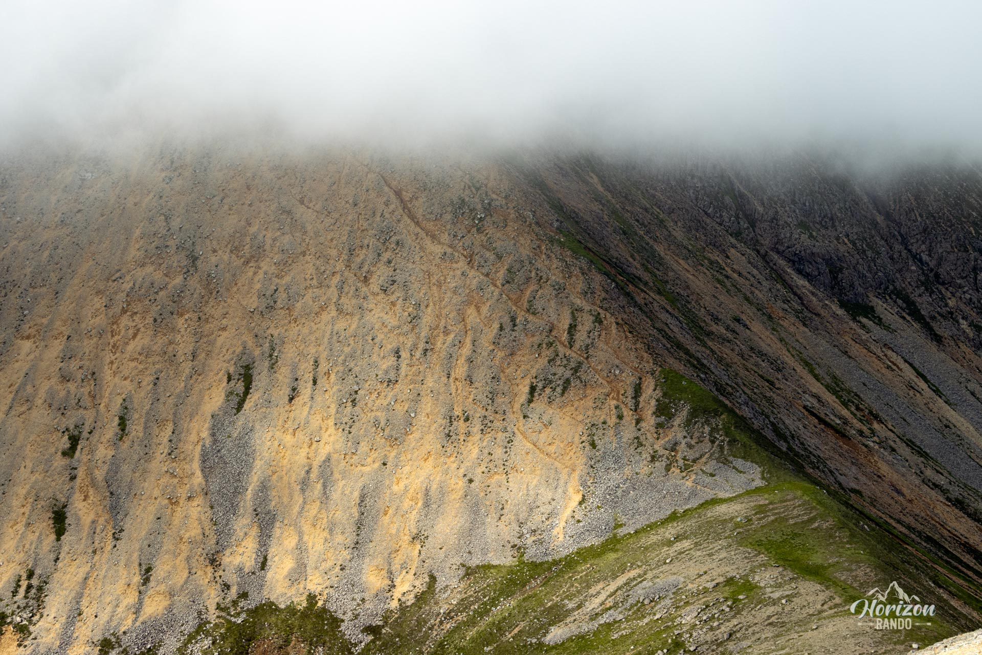
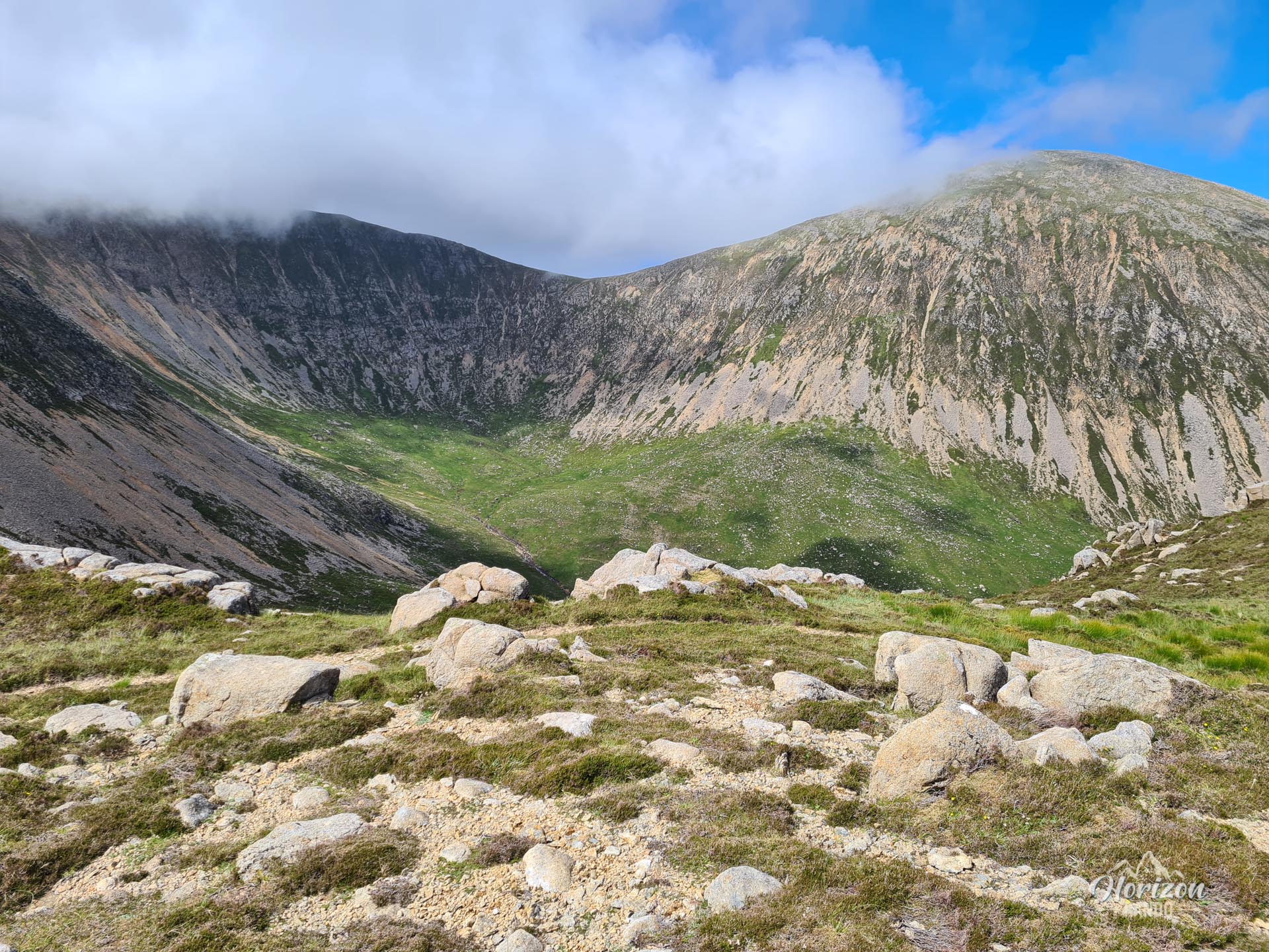
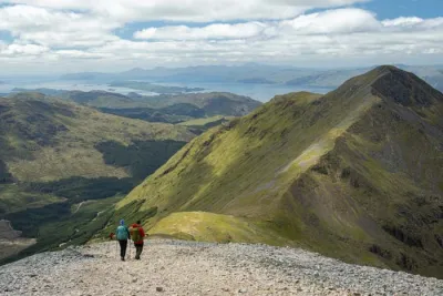
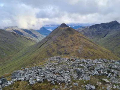
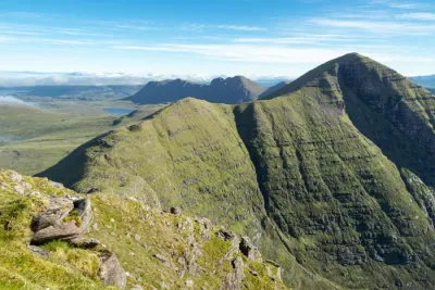
Once you reach the summit, however, the rest of the route becomes much more pleasant. You will enjoy a beautiful ridge walk with breathtaking views all the way to Beinn Dearg Mhòr. However, the descent to the Bealach Coire Sgreamhach pass ("the pass of scree") is tricky: it's an extremely steep slope covered with unstable scree that requires great caution. After this technical section, the climb to Beinn Dearg Bheag is easier and is followed by a gradual descent via the east ridge. The return journey ends with another crossing of marshy terrain back to the starting point.
What you'll love
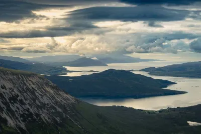
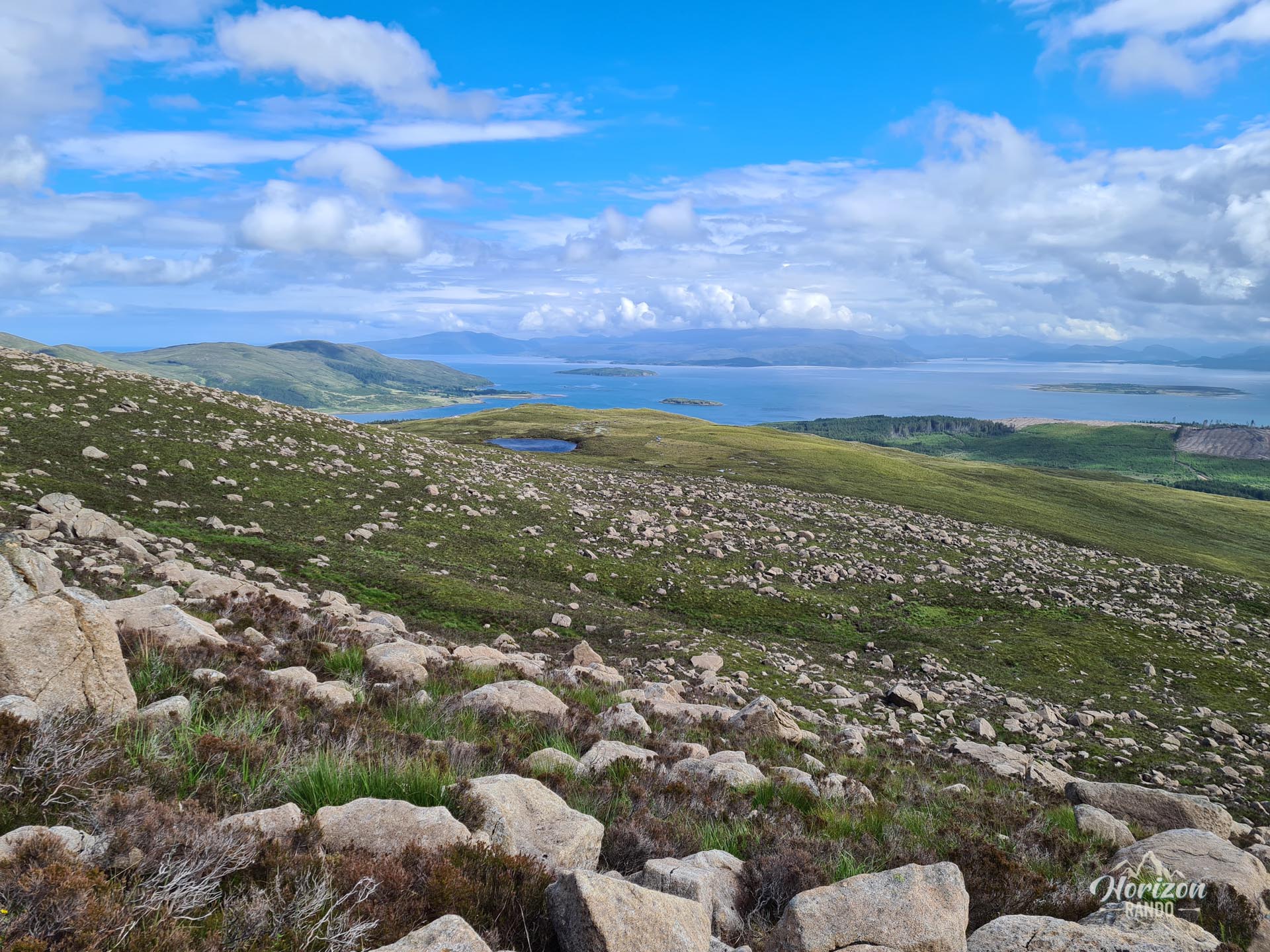
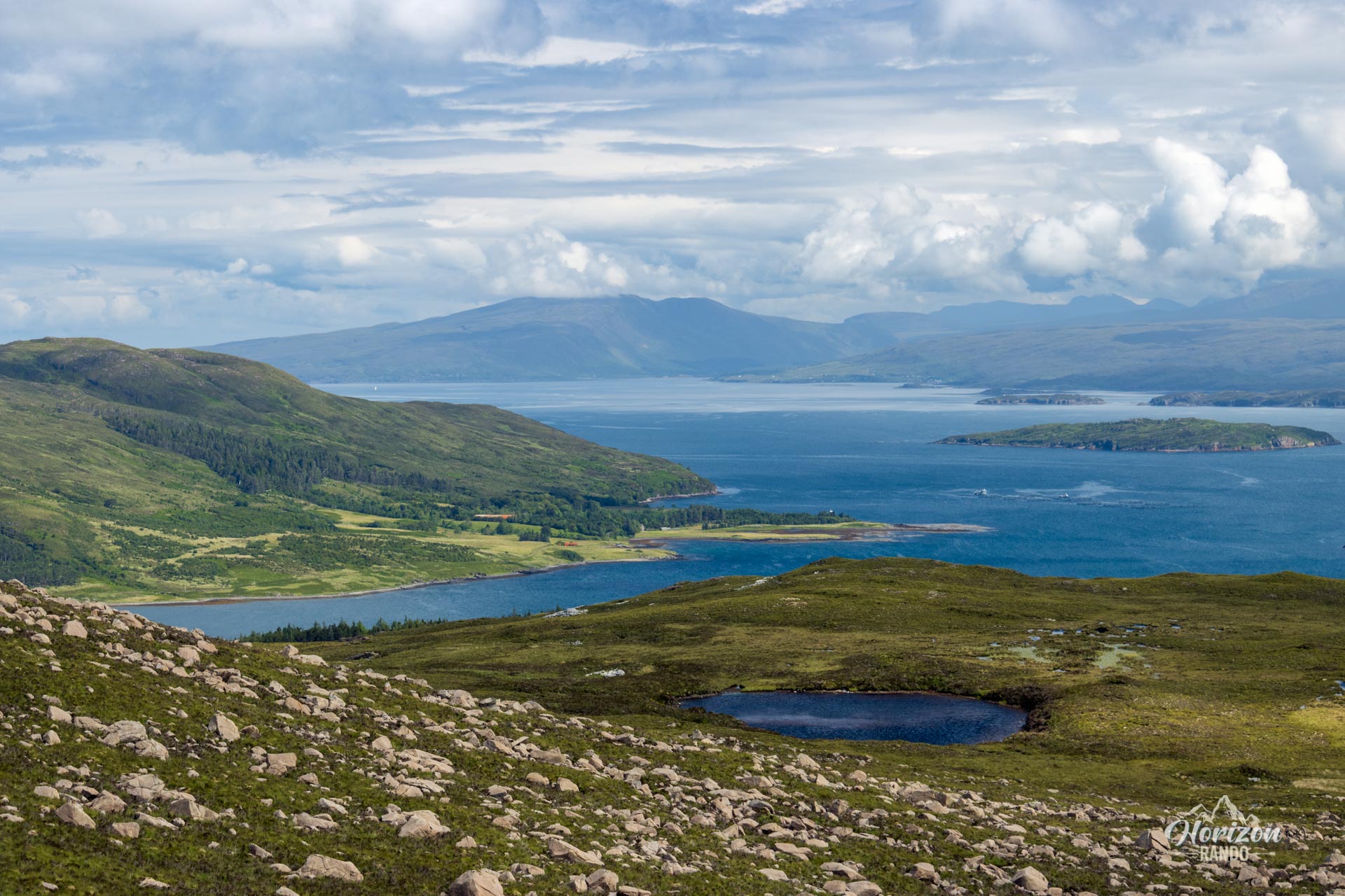
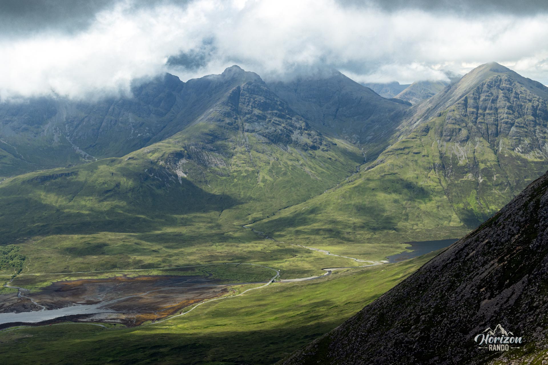
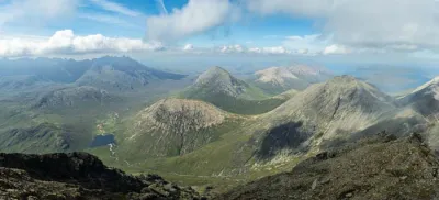
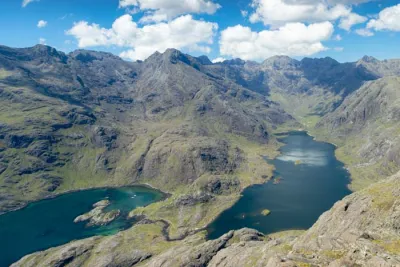
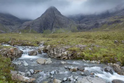
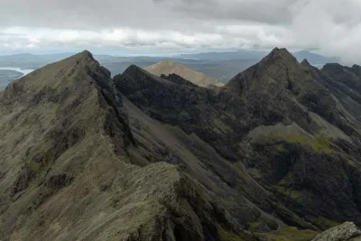
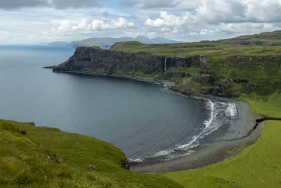
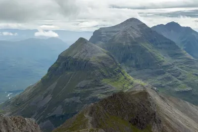
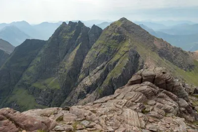
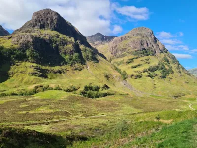
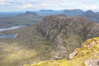
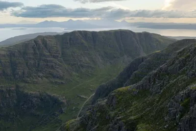
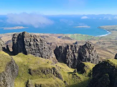
- Exceptional 360-degree panoramic views from the various peaks: Breathtaking vistas of the Black Cuillin range, Blà Bheinn, Broadford Bay, and the surrounding islands.
- The ridge walk between Beinn na Caillich and Beinn Dearg Mhòr: An unforgettable experience with spectacular views on both sides.
- The wild atmosphere of this hike, which allows you to fully enjoy the unspoiled nature of the Isle of Skye.
Photos
See all 16 photos →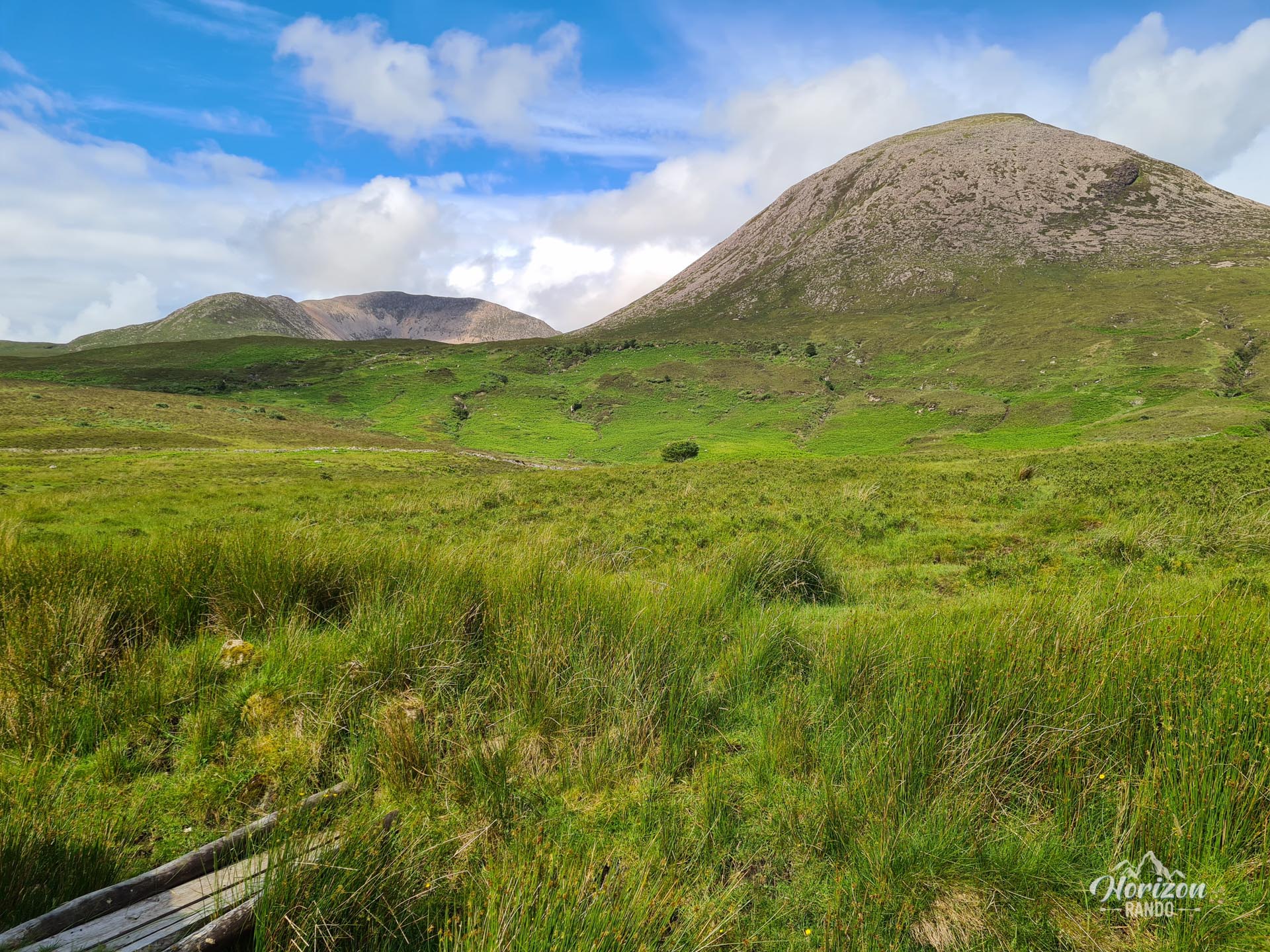
More hikes to do in Scotland
Nearby hikes

Printed from www.horizonrando.fr/en/scotland/beinn-na-caillich/