





Lago di Sorapis Hike
Key facts about the hike
- Difficulty
- Moderate Hikes are rated from very easy to very hard: my difficulty scale
- Duration
- 4h30 Estimated time, short breaks included (photos, water, snacks), picnic not included: how it is calculated
- Distance
- 12.1km
- out and back
- Elevation gain
- 500m
- Type of route
- Out and back
- Maximum altitude
- 1,975 m
- Vertiginous Five levels, depending on how exposed the route is: the levels in detail
- Slightly
- Marked
- Yes
- Popularity
- Very high
- Start point
- 46.55615, 12.20459
- Activity
- Hiking
Hike overview
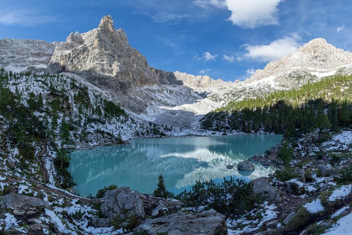
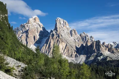
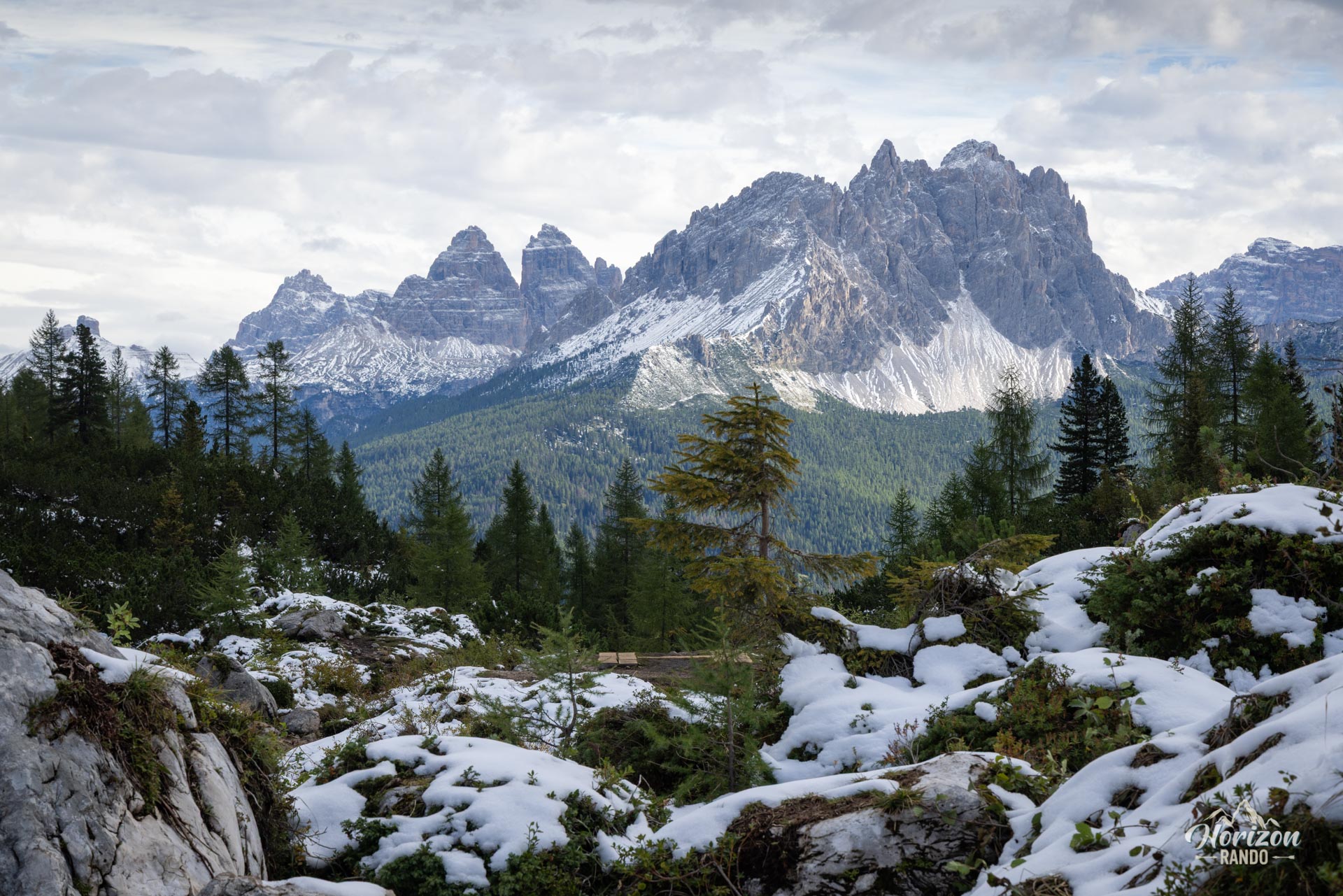
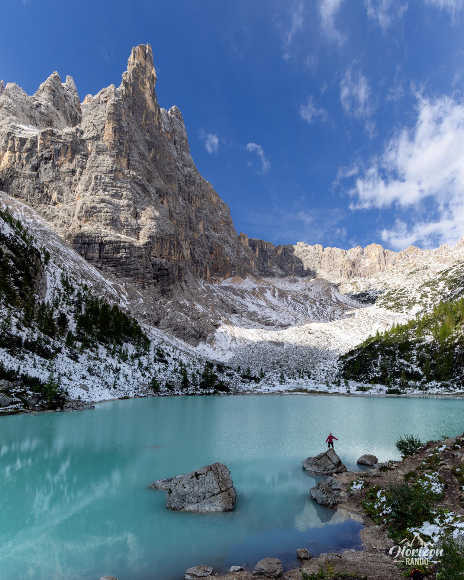
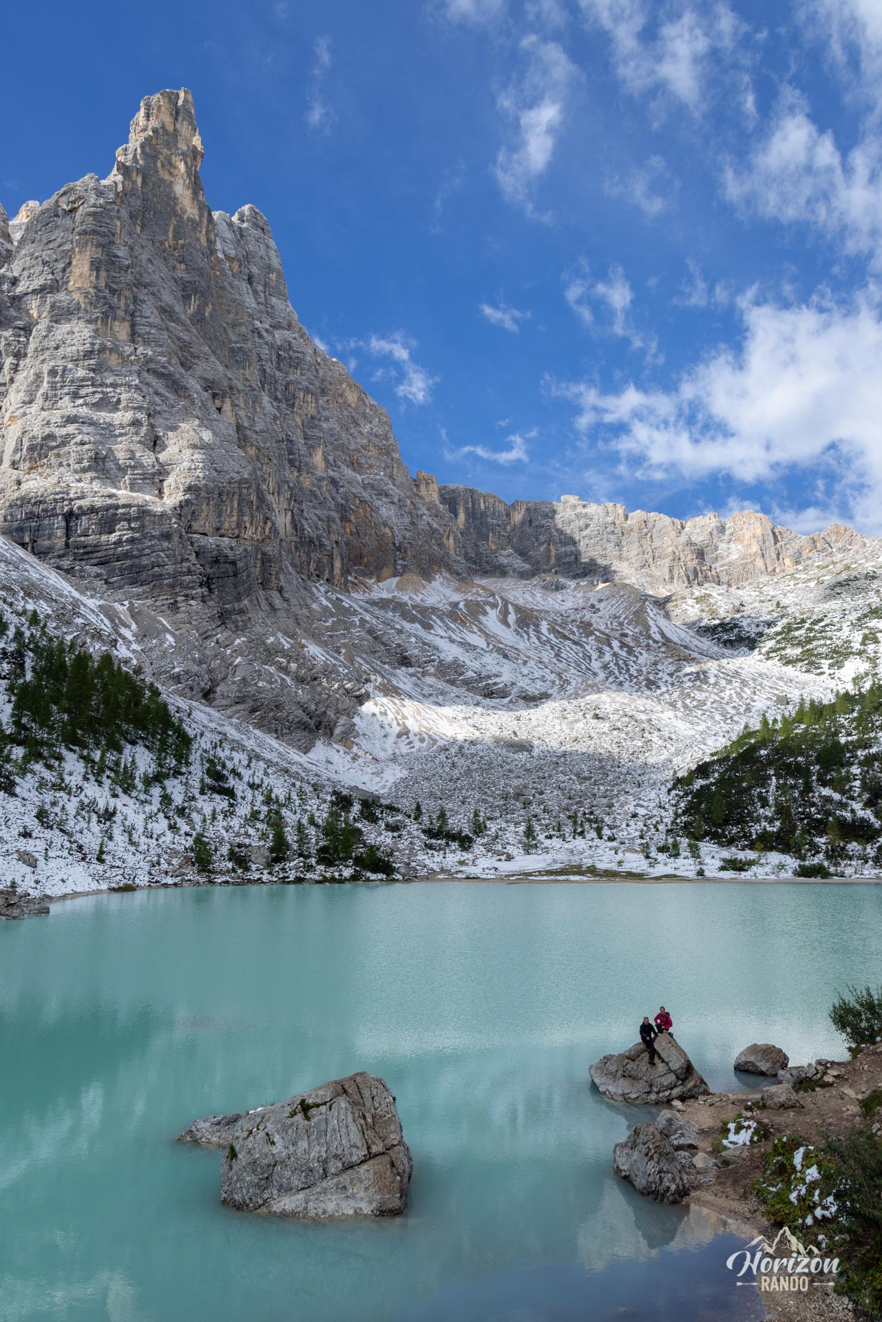
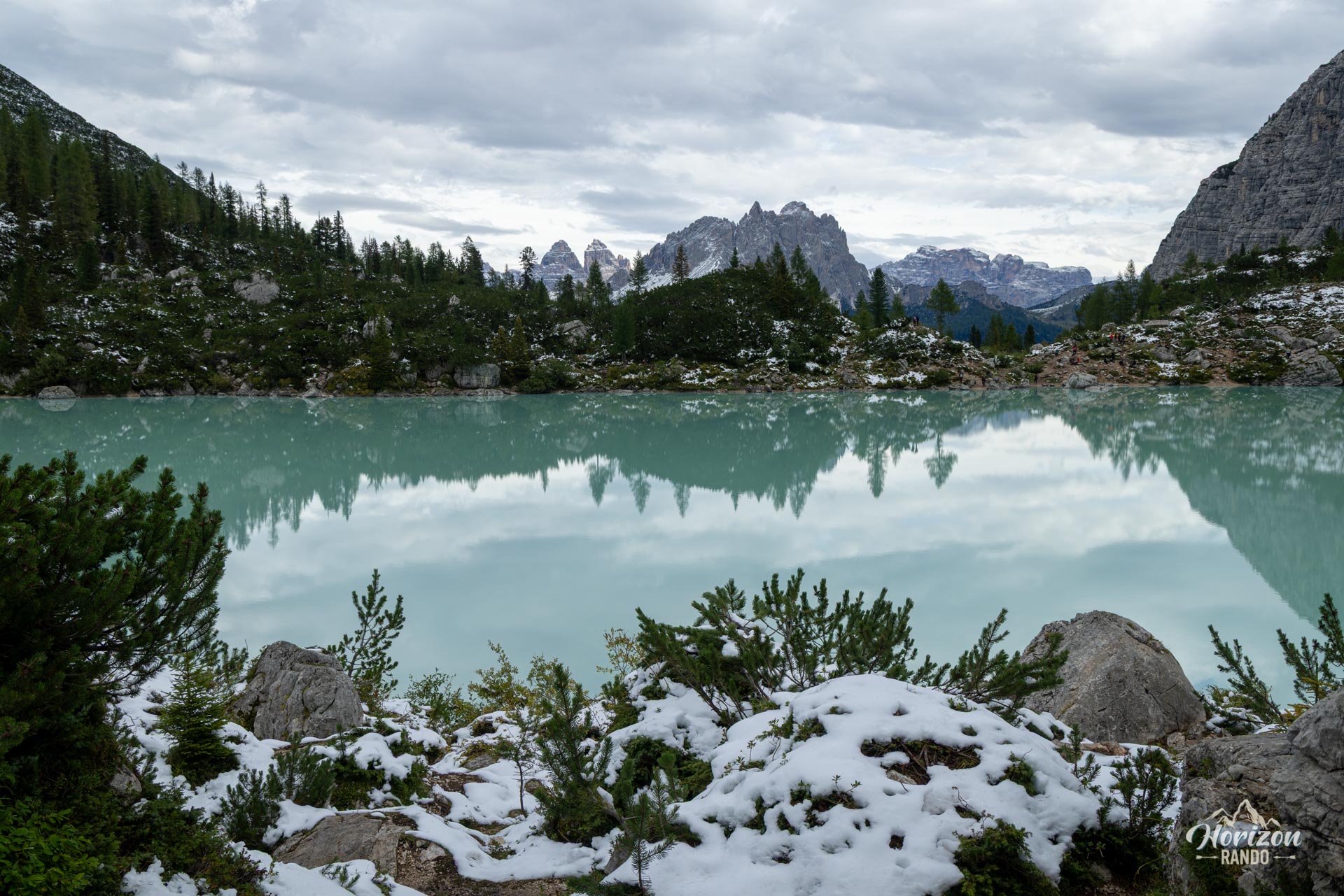
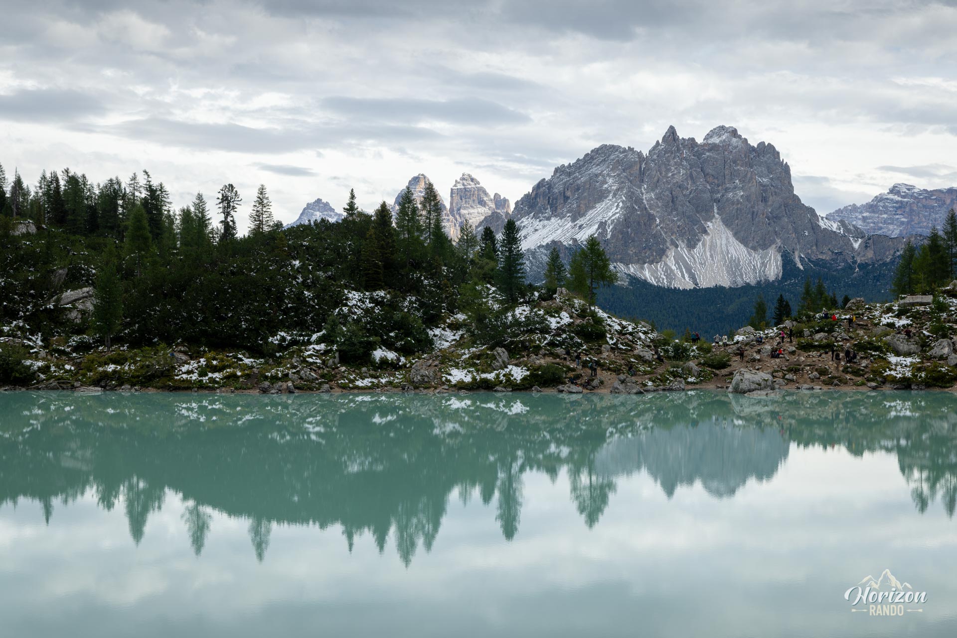
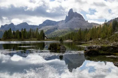
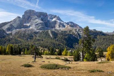
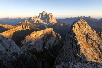
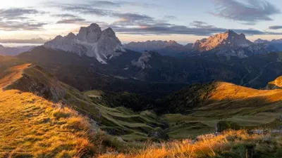
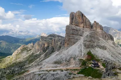
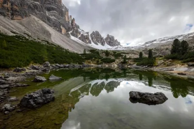
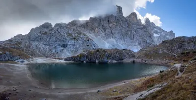
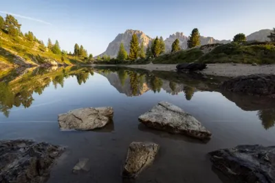
Located in the heart of the Ampezzo Dolomites, Lago di Sorapis is a small glacial lake with milky turquoise water, dominated by the imposing walls of Dito di Dio ("Finger of God") (2,603 m) and Punta Sorapis (3,205 m). Starting from Passo Tre Croci, this hike is one of the most iconic in the region — and one of the busiest.
While the site's beauty is undeniable, summer crowds significantly detract from the experience. To fully enjoy it, arrive early and walk around the lake!
Map and elevation profile of the hike
Lago di Sorapis Hike
Description and difficulties of the hike
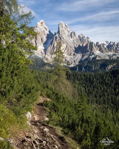
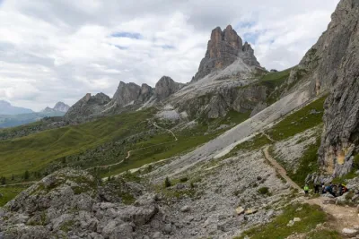
The trailhead is located about 200 m east of Passo Tre Croci, along SR 48. Follow trail no. 215, which initially winds through the woods on a wide, gently sloping forest path. After three kilometers, or about an hour's walk, the route becomes more technical. The trail narrows and follows a contour path along a ledge with a few sections over a drop, which are equipped with cable handlines and short metal stairs. While nothing is technically difficult, these sections require sure footing and may be challenging for those prone to vertigo. A few rocky sections also require you to use your hands to make progress.
After hiking for two to two and a half hours, you will arrive at the lake's shore, at the foot of the impressive cliffs of Punta Sorapis. I highly recommend walking around the lake, which takes about half an hour for one kilometer. This allows you to see Punta Sorapis from different angles while avoiding the crowds gathered around the main viewpoint. The Rifugio Vandelli itself lies a few minutes further down. The return trip follows the same route.
What you'll love
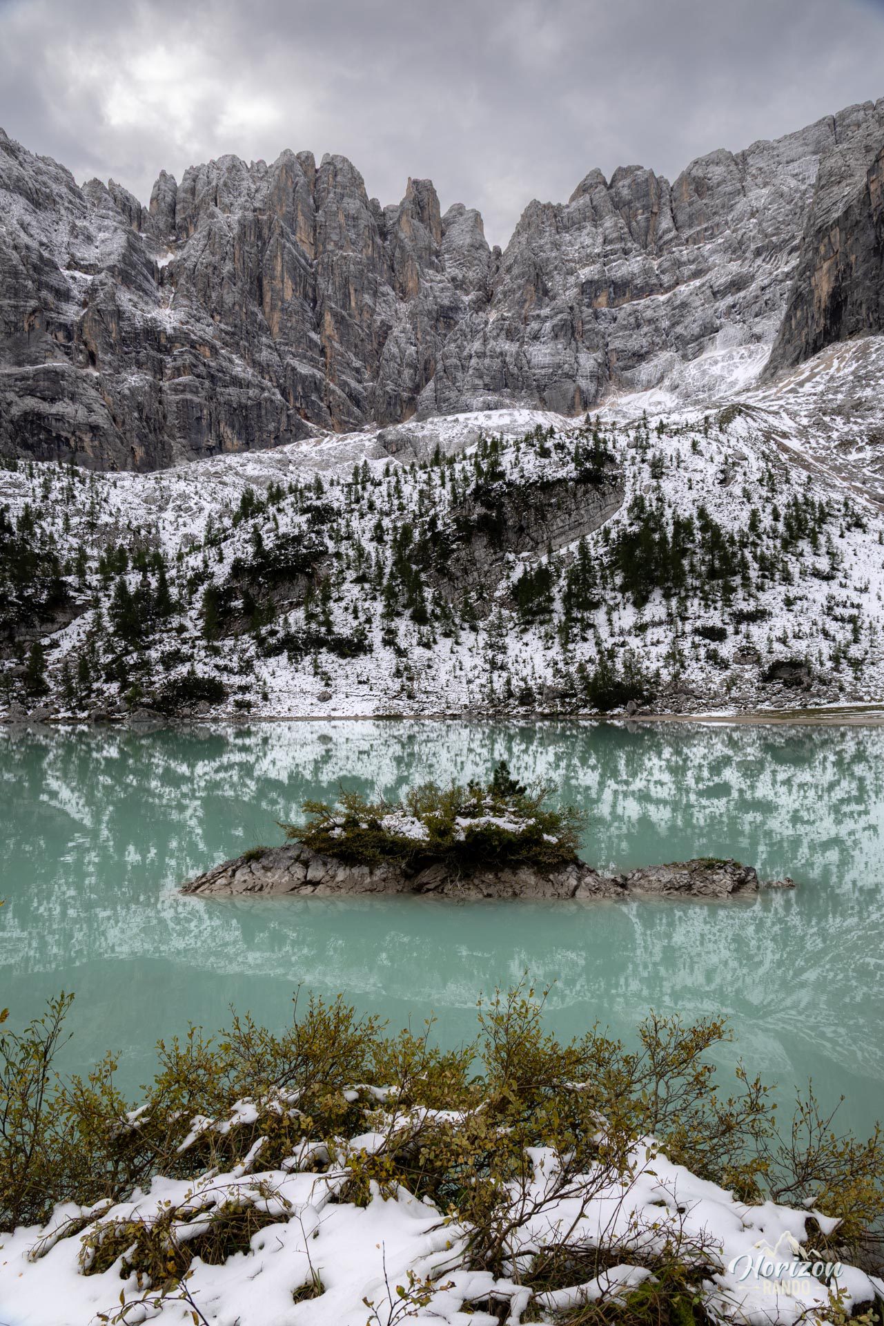
- Lake Sorapis's milky turquoise color contrasting with the gray walls of Punta Sorapis.
- The walk around the lake, which offers many viewpoints of the surrounding peaks, and the fact that there are far fewer people on this trail than on the main one.
Practical information
Parking
Free roadside parking along SR 48 at Passo Tre Croci, near the trailhead. In high season, you must arrive before 7:00 a.m. to secure a spot. There is also a large gravel parking lot further west on SR 48, about 600 meters (less than a 10-minute walk) from the trailhead.
Best time to go
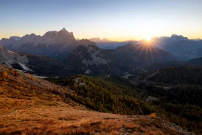
June through late October. In October, the golden color of the larch trees is stunning, but the lake level can drop significantly depending on the year, and it may even be nearly dry.
Photos
See all 10 photos →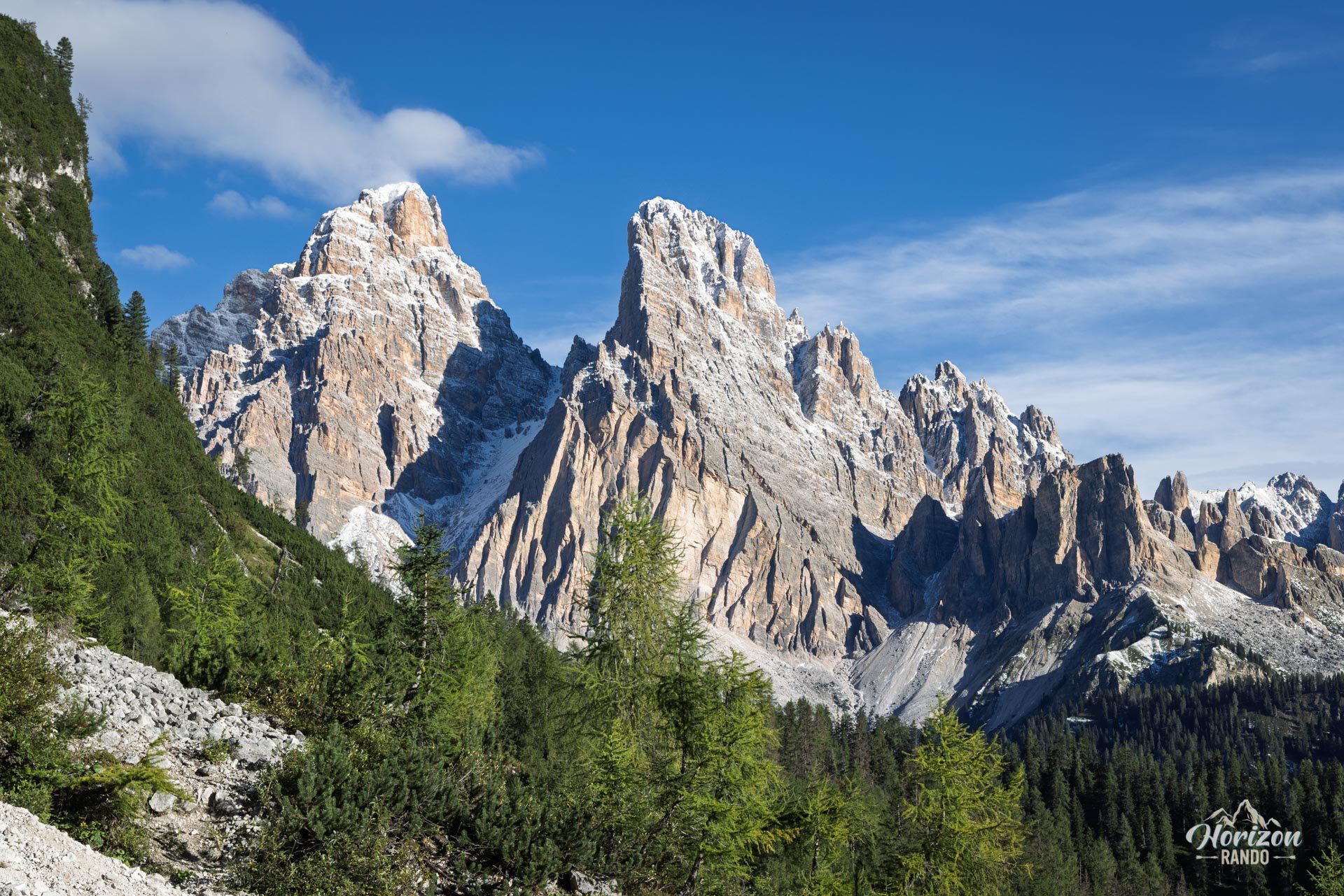
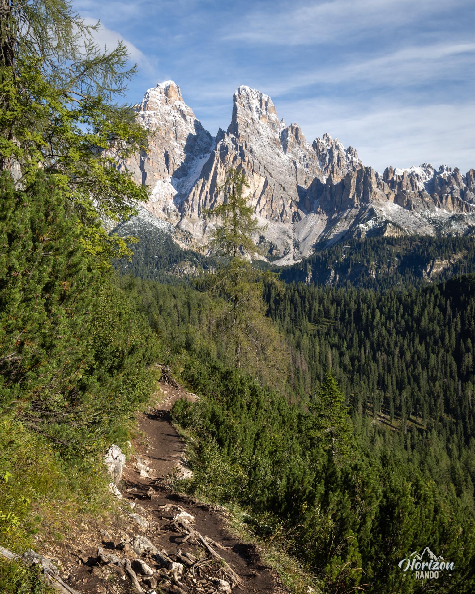
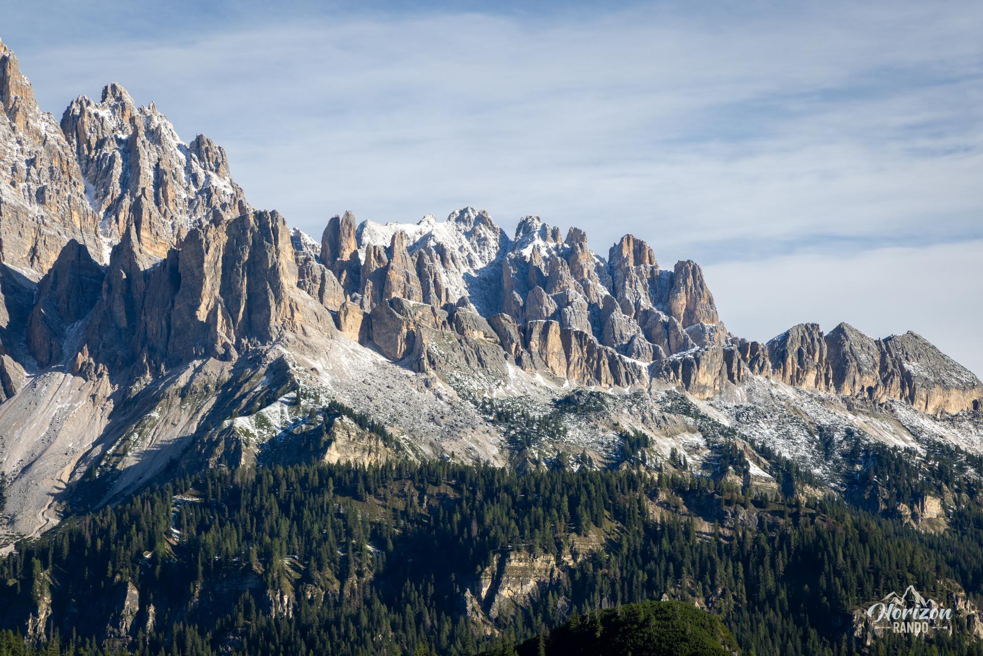
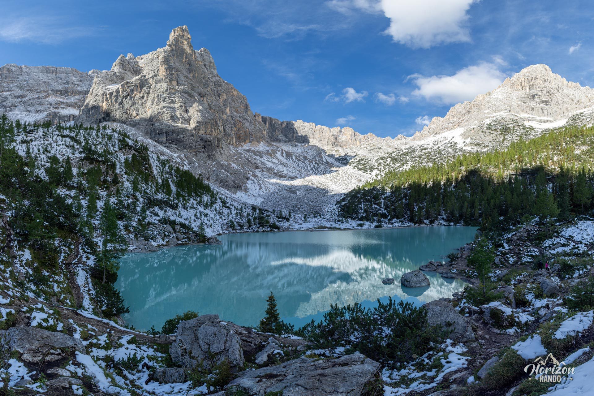
More hikes to do in the Dolomites
Nearby hikes
Printed from www.horizonrando.fr/en/hiking-dolomites/lago-di-sorapis-hike/