





Besseggen Ridge Hike
Key facts about the hike
- Difficulty
- Hard Hikes are rated from very easy to very hard: my difficulty scale
- Duration
- 6h30 Estimated time, short breaks included (photos, water, snacks), picnic not included: how it is calculated
- Distance
- 14.4km
- Elevation gain
- 1,100m
- Type of route
- One way
- Maximum altitude
- 1,743 m
- Vertiginous Five levels, depending on how exposed the route is: the levels in detail
- Moderately
- Marked
- Yes
- Popularity
- Very high
- County
- Innlandet
- Start point
- 61.49047, 8.63367
- Activity
- Hiking
Hike overview
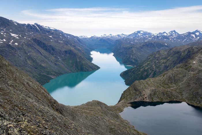
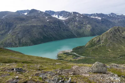
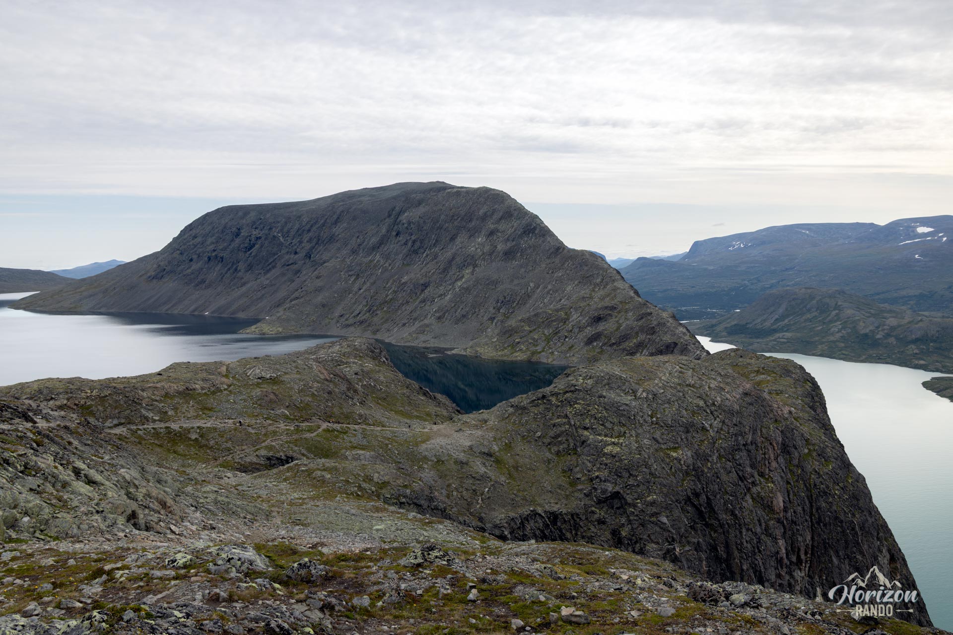
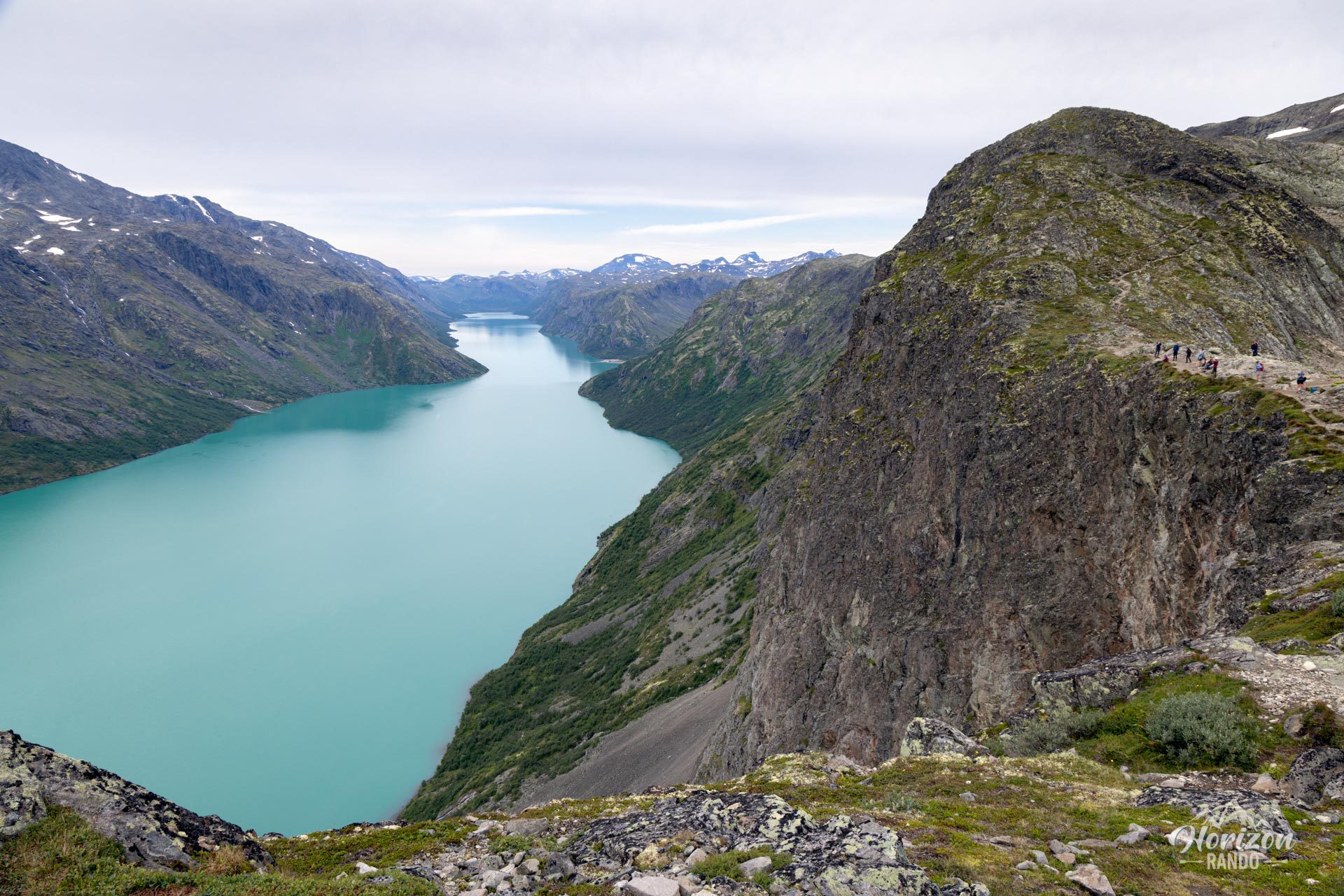
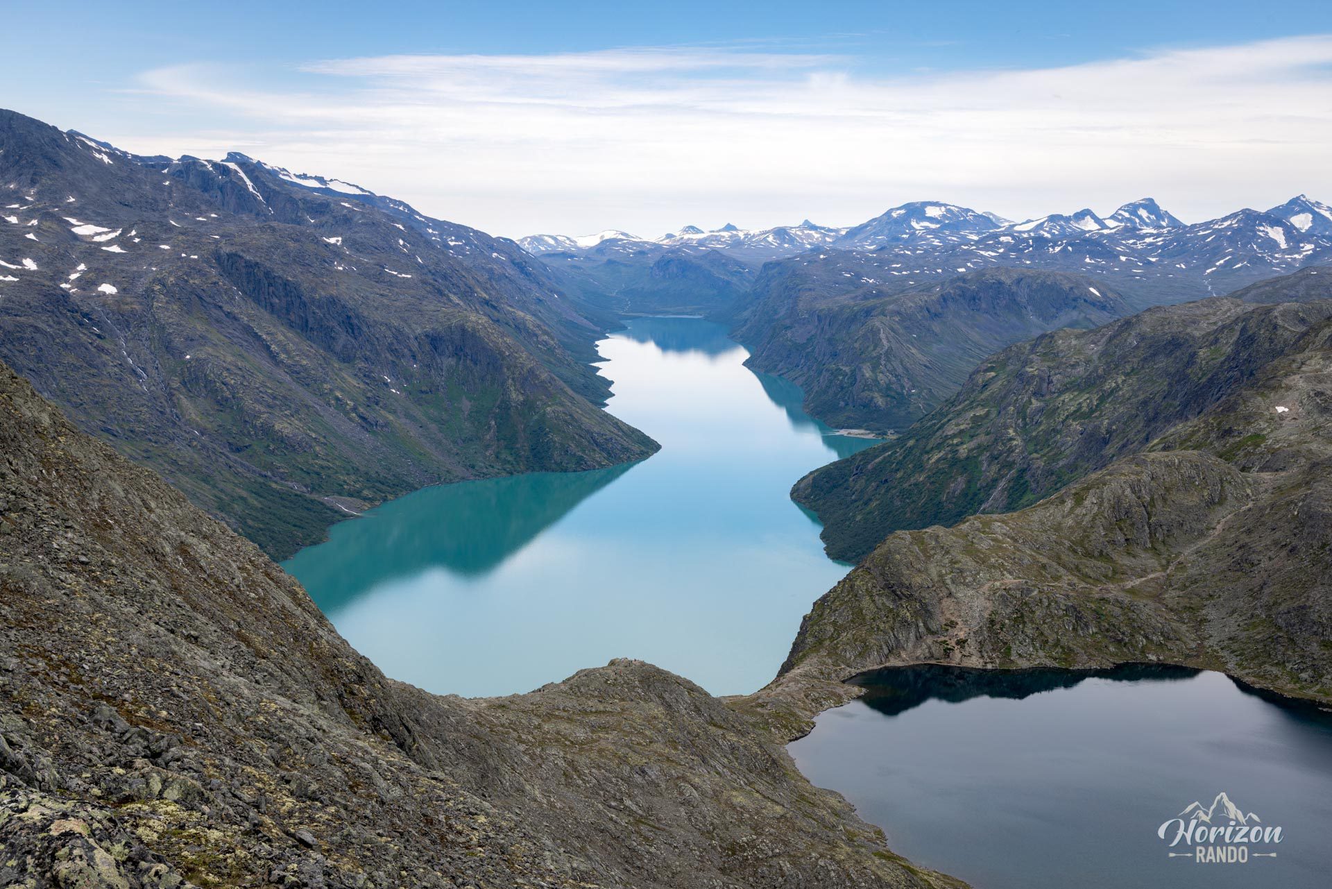
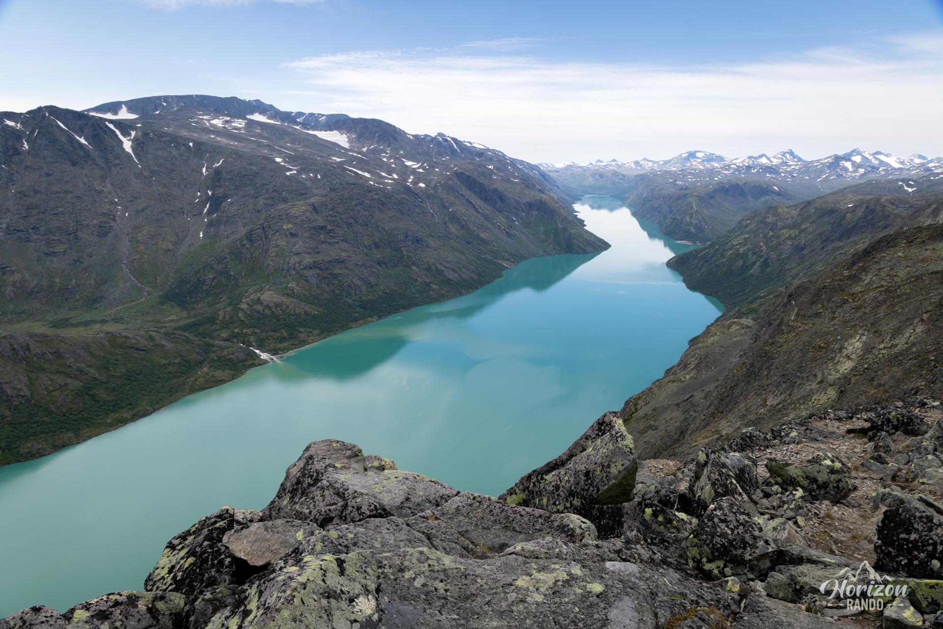
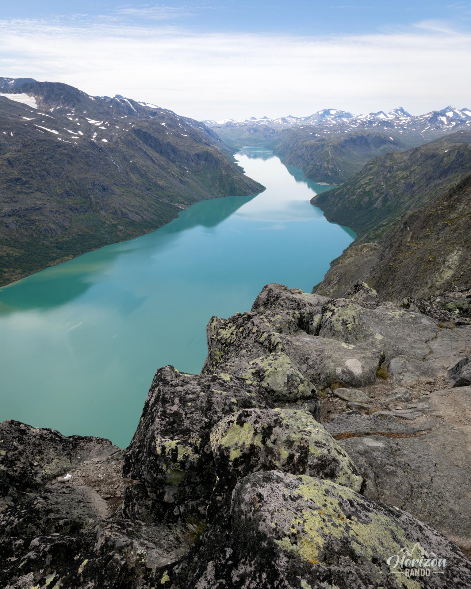
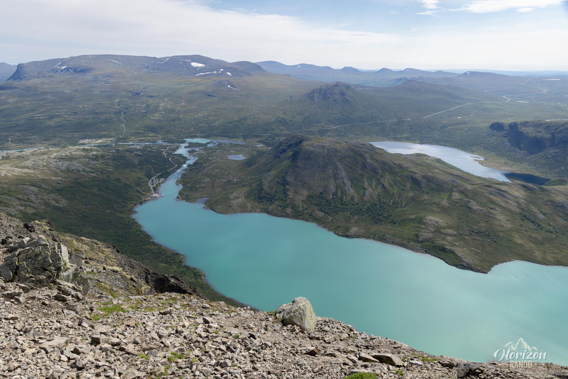
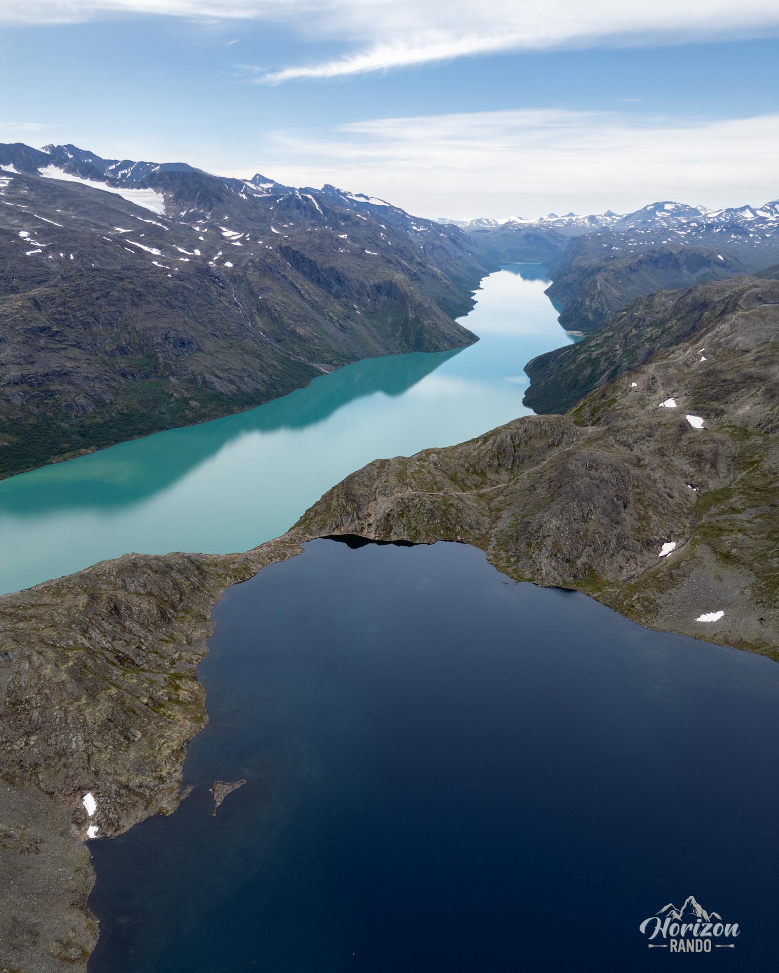
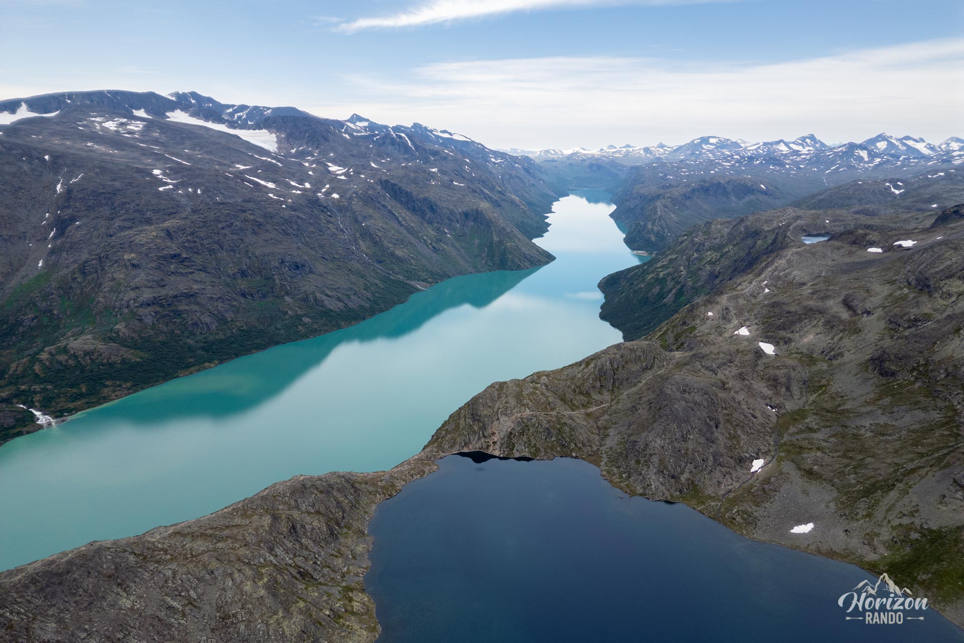
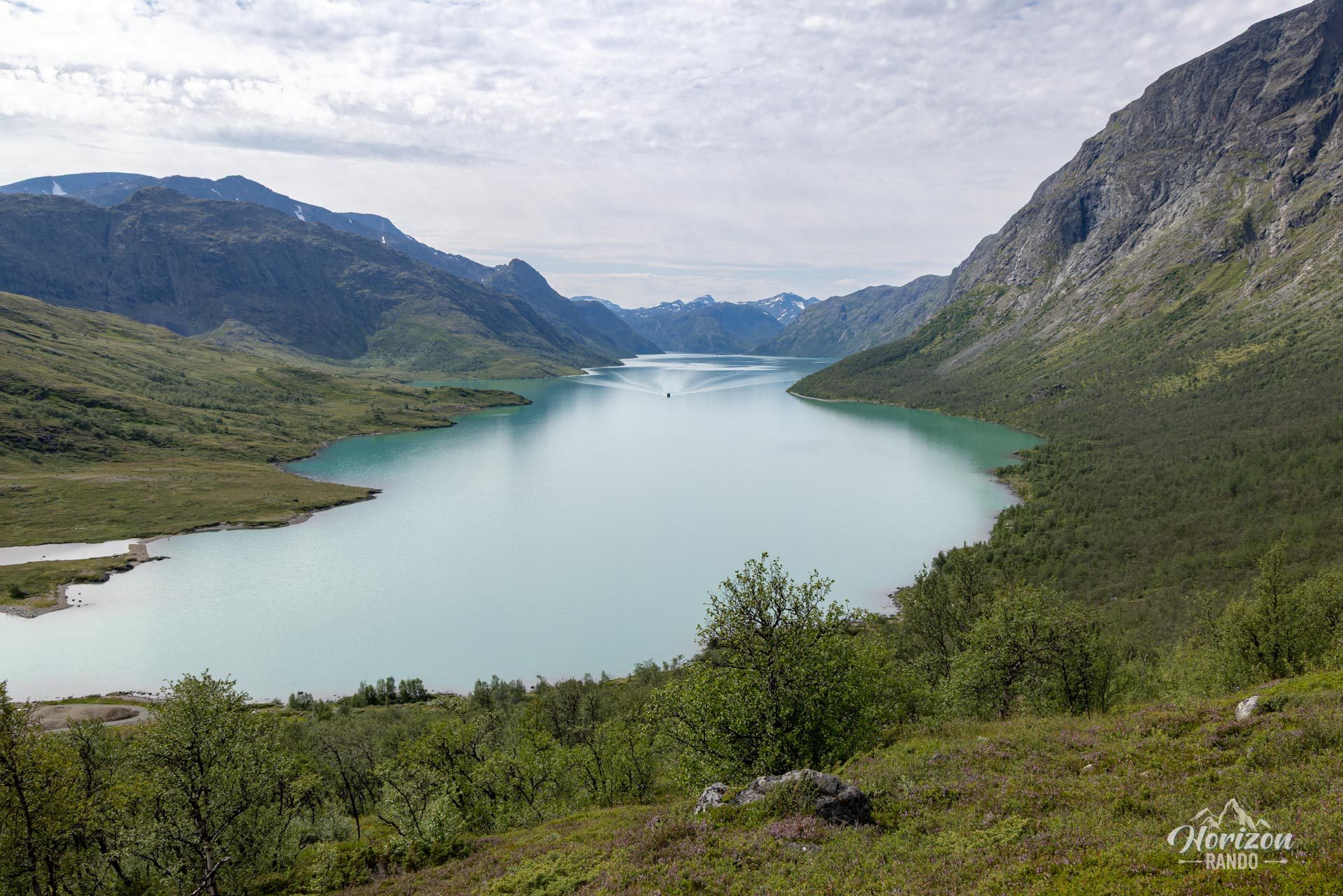
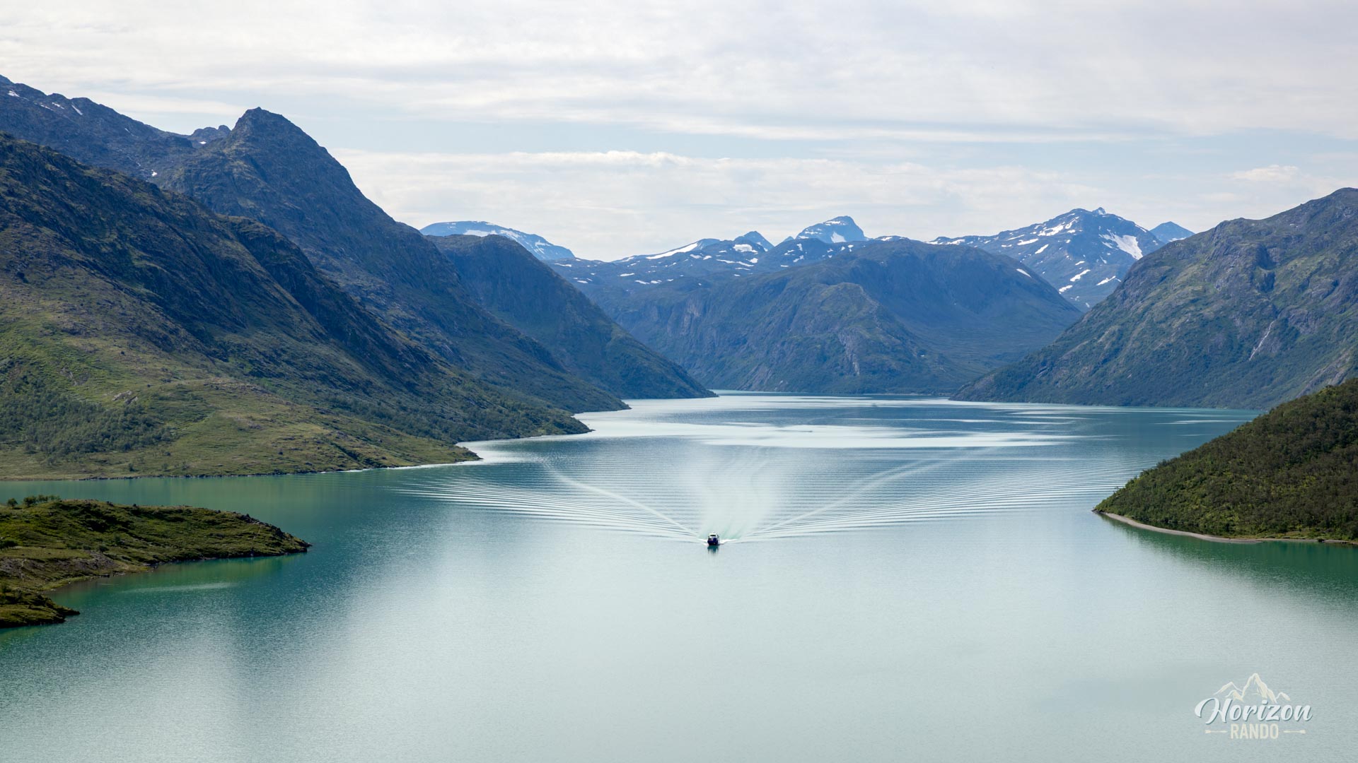
The Besseggen Ridge, located in the heart of Jotunheimen National Park, is one of Norway's most iconic and popular hiking trails. This hike is famous for its spectacular views, marked by the striking contrast between the emerald green waters of Lake Gjende and the deep blue waters of Lake Bessvatnet. It is a highly sought-after, beautiful challenge and, above all, an unforgettable experience in majestic surroundings.
Map and elevation profile of the hike
Besseggen Ridge Hike
Difficulties of the hike
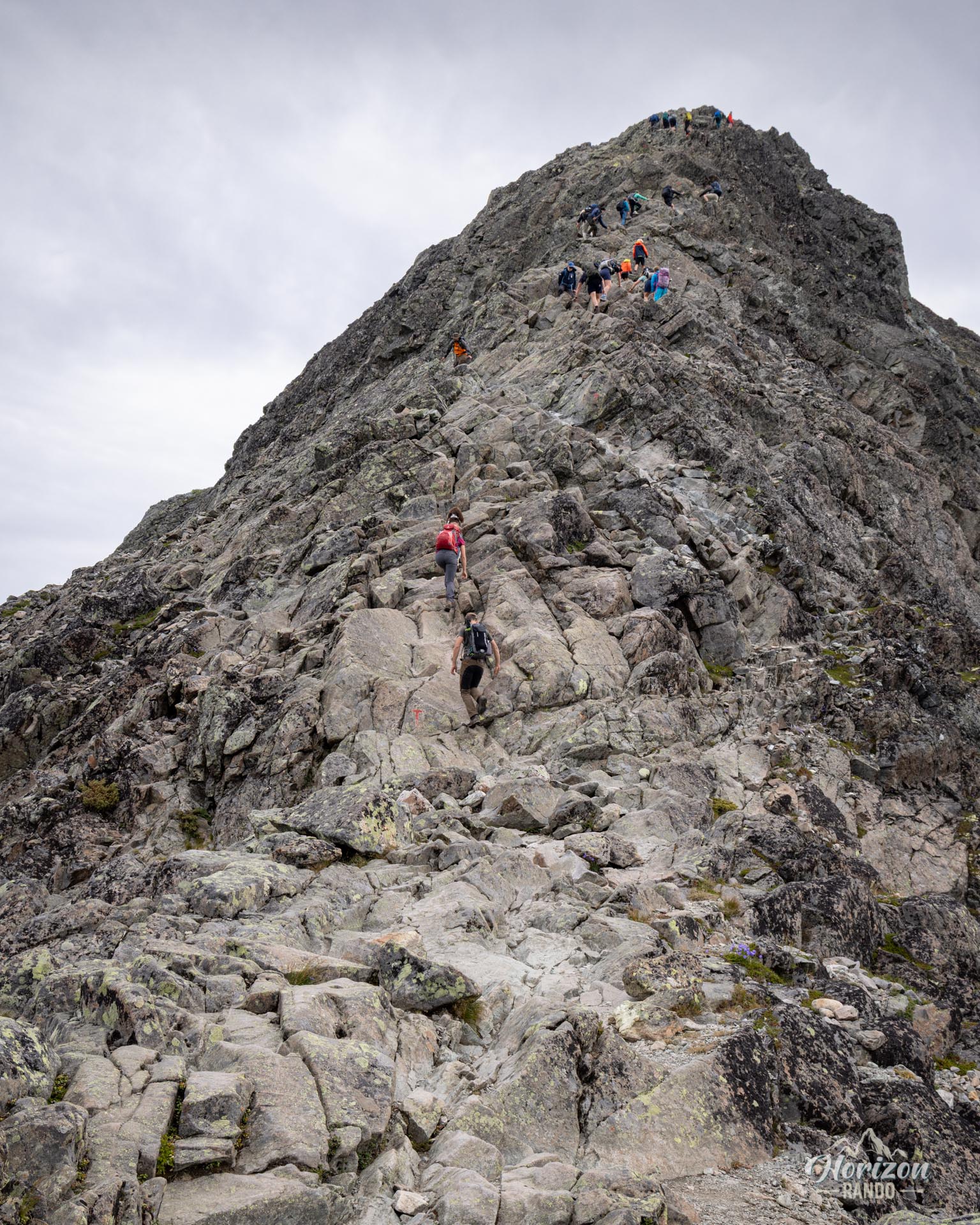
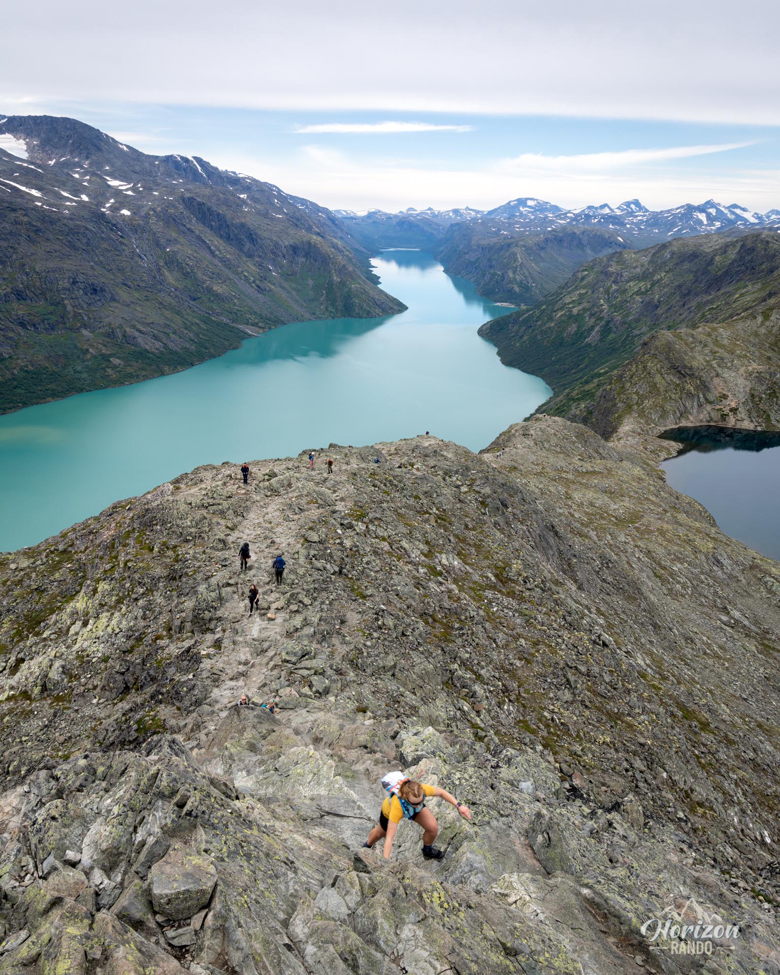
Besseggen is a demanding hike, with a significant elevation gain and a route of over 14 kilometers. The rocky and steep terrain requires good physical condition. There are several passages of scrambling over rocks on the ridge that require increased vigilance.
The trail is clearly marked, making it easy to find your way in clear weather. However, since weather in the mountains can change suddenly, it is essential to carry reliable navigation tools, such as a GPS, or a map and a compass.
What you'll love
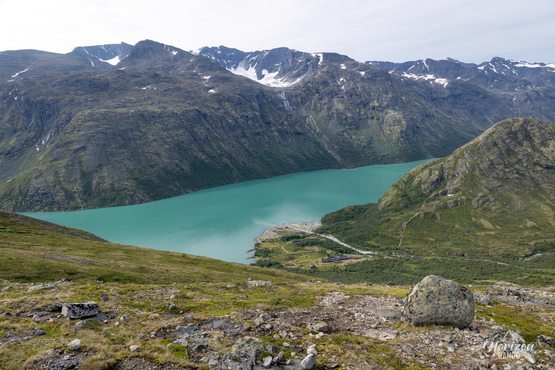
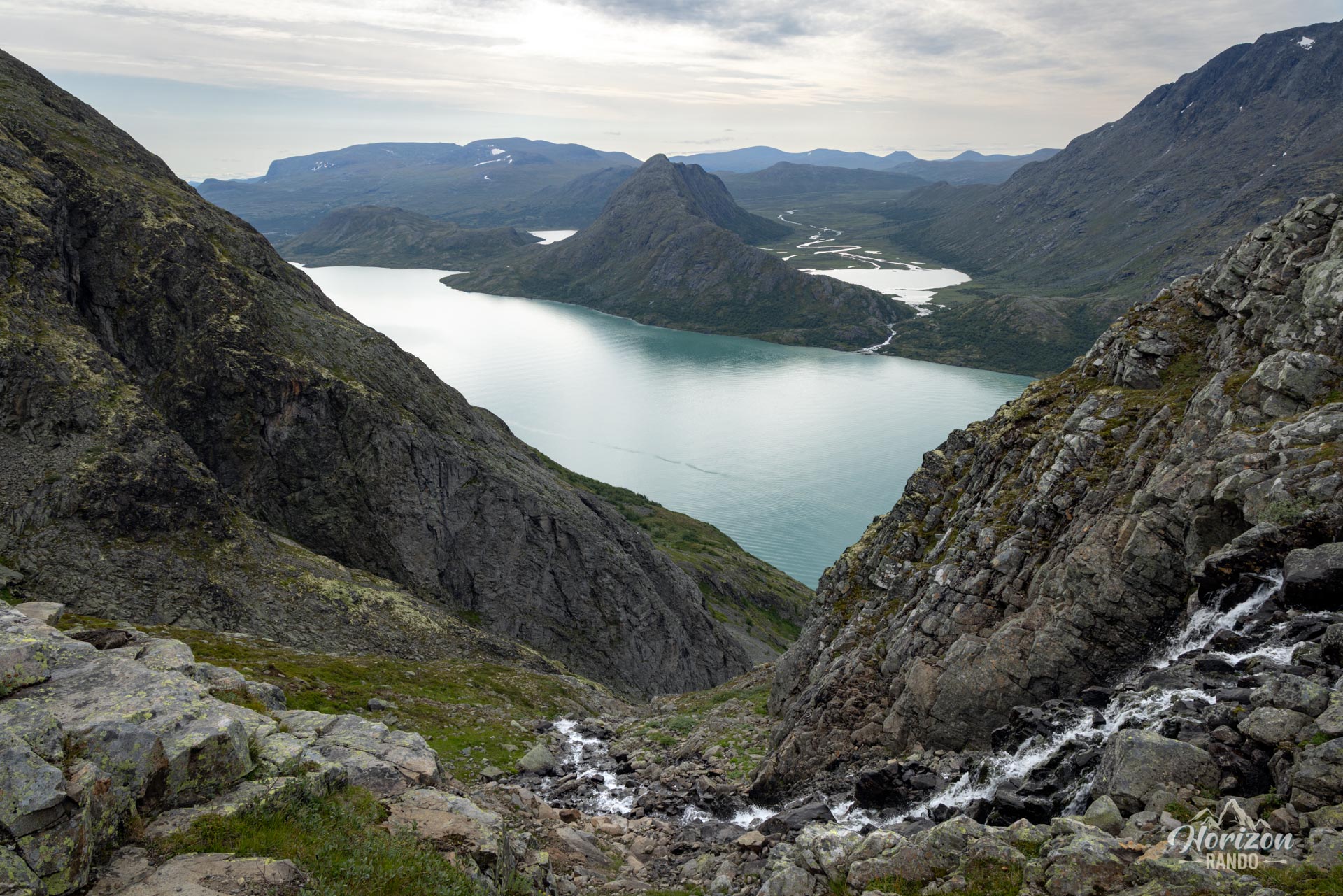
- Spectacular panoramas: The highlight is the iconic view of the two lakes, emerald green Lake Gjende below and deep blue Lake Bessvatnet 400 meters higher up.
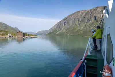
- A complete adventure: The hike begins with a ferry crossing on Lake Gjende, adding an original and immersive touch to the alpine experience.
- A sense of achievement after completing this physically demanding hike, recognized as one of Norway's great classics.
What might be less appealing
- High visitor numbers: This hike is very popular, attracting large numbers of visitors, which detracts somewhat from the wild atmosphere. It is also widely photographed on social media, reducing the element of surprise.
- Logistical constraints: Between booking the boat, parking costs and the shuttle bus, organizing the trip can be complicated and give the impression of a tourist industry. See the “Remarks” section for practical details.
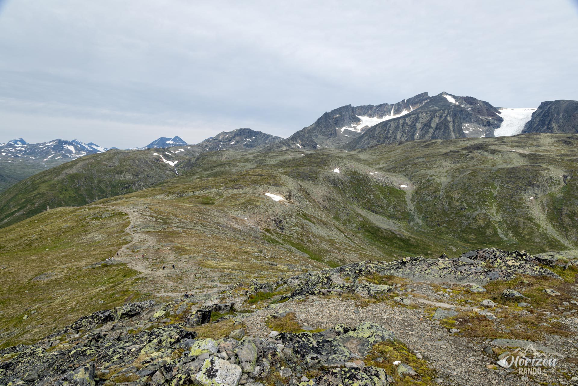
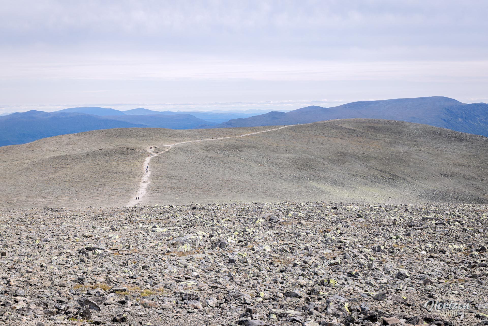
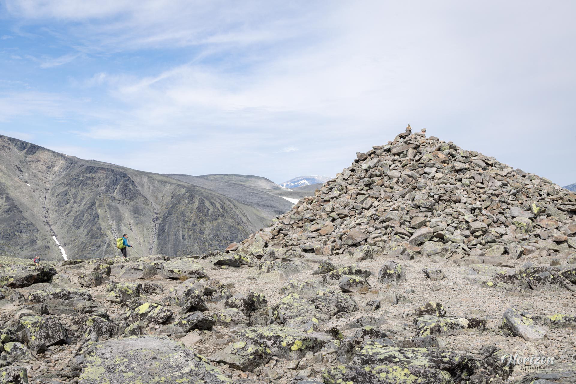
- A somewhat repetitive landscape: While the view is spectacular, it remains relatively constant along the ridge. Don't wait until you reach the summit (Veslfjellet, 1,743 m) to take photos because it is a vast, rocky plateau with less spectacular views than the ridge itself offers.
Practical information
Boat reservation
It is essential to book in advance on the official Gjende website (indicative price in 2025: NOK 240). To follow the descrribed itinerary, choose the Gjendesheim → Memurubu route. You can also do the hike in the opposite direction (Memurubu → Gjendesheim), but this option is less common and more restrictive as you must arrive in time for the return boat.
Access and parking
Parking is available at the paid parking lot in Reinsvangen (GPS coordinates: 61.48634, 8.83246). From there, take the shuttle (also paid) to the starting point in Gjendesheim. The small parking lot in Gjendesheim only allows for short-term parking (two hours max), which is insufficient for the hike.
Best time to go
From July to mid-September, on average. See the Norway FAQ for more details.
Photos
See all 18 photos →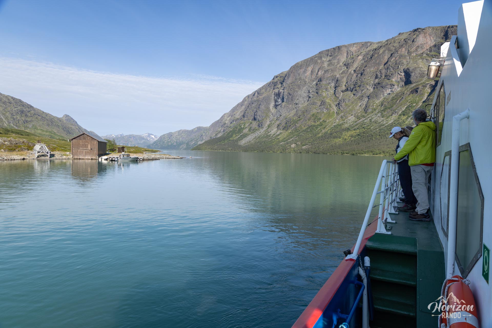
More hikes to do in Norway
Nearby hikes

Printed from www.horizonrando.fr/en/norway/besseggen/