





Brenndalsbreen Hike
Key facts about the hike
- Difficulty
- Easy Hikes are rated from very easy to very hard: my difficulty scale
- Duration
- 2h45 Estimated time, short breaks included (photos, water, snacks), picnic not included: how it is calculated
- Distance
- 7.7km
- out and back
- Elevation gain
- 290m
- Type of route
- Out and back
- Maximum altitude
- 298 m
- Vertiginous Five levels, depending on how exposed the route is: the levels in detail
- No
- Marked
- No
- Popularity
- Moderate
- County
- Vestland
- Start point
- 61.67791, 6.81389
- Activity
- Hiking
Hike overview
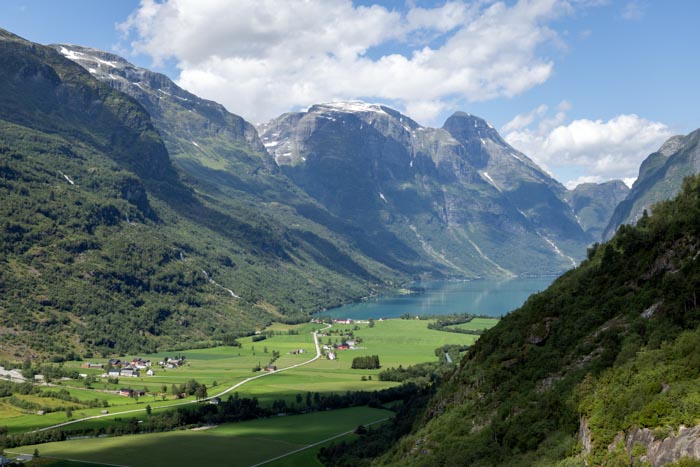
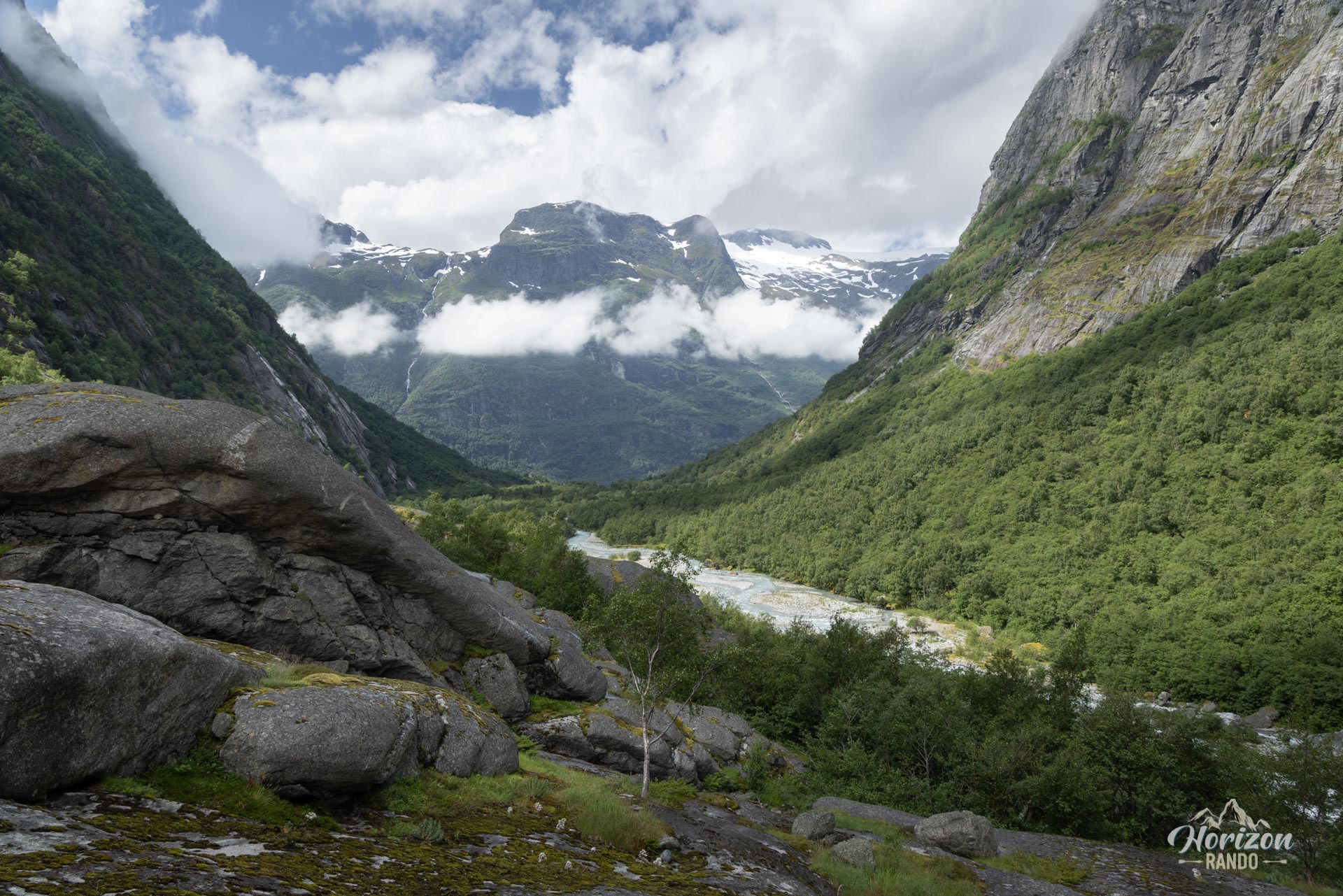
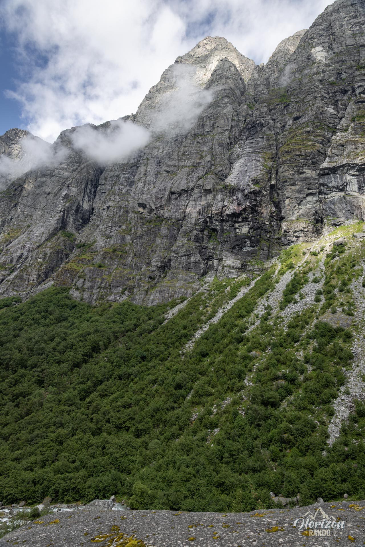
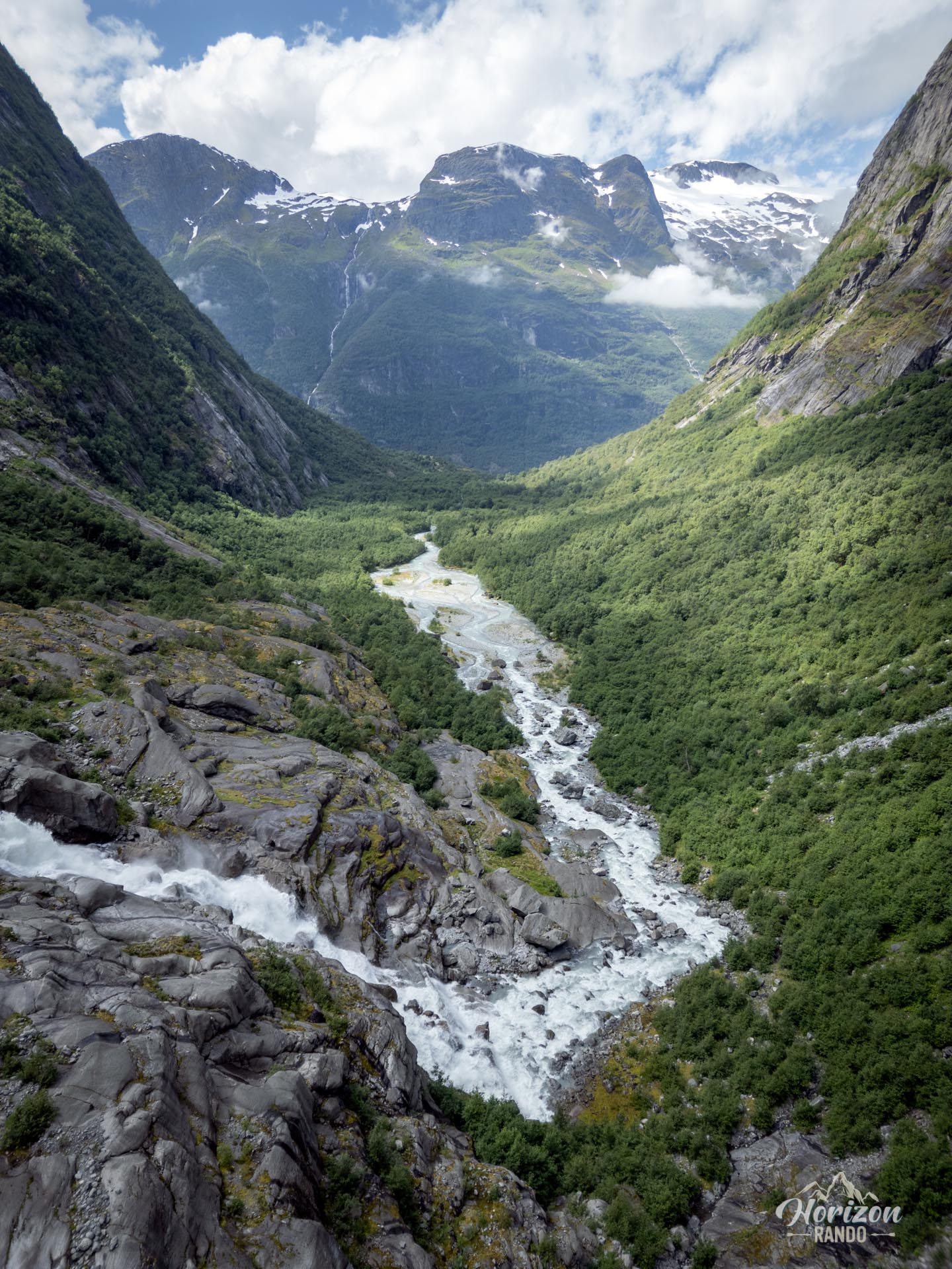
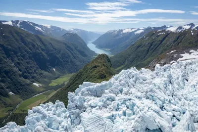
Hiking to the Brenndalsbreen glacier is an authentic experience in the heart of Norway's spectacular Oldedalen Valley. Less crowded than its famous neighbor, the Briksdalsbreen hike, this route takes you through a wild, steep-sided valley to one of the many glacier tongues of the Jostedalsbreen glacier, the largest in continental Europe. This accessible route is perfect for hikers seeking tranquility and spectacular scenery, far from the tourist crowds.
Map and elevation profile of the hike
Brenndalsbreen Hike
Difficulties of the hike
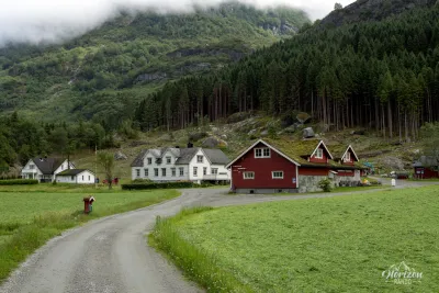
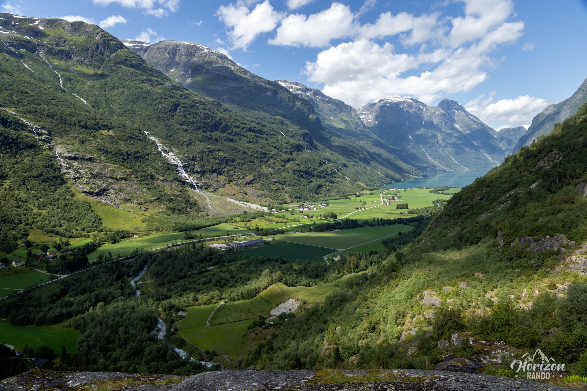
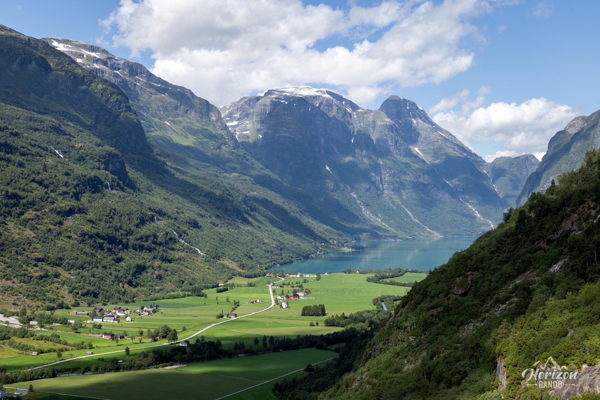
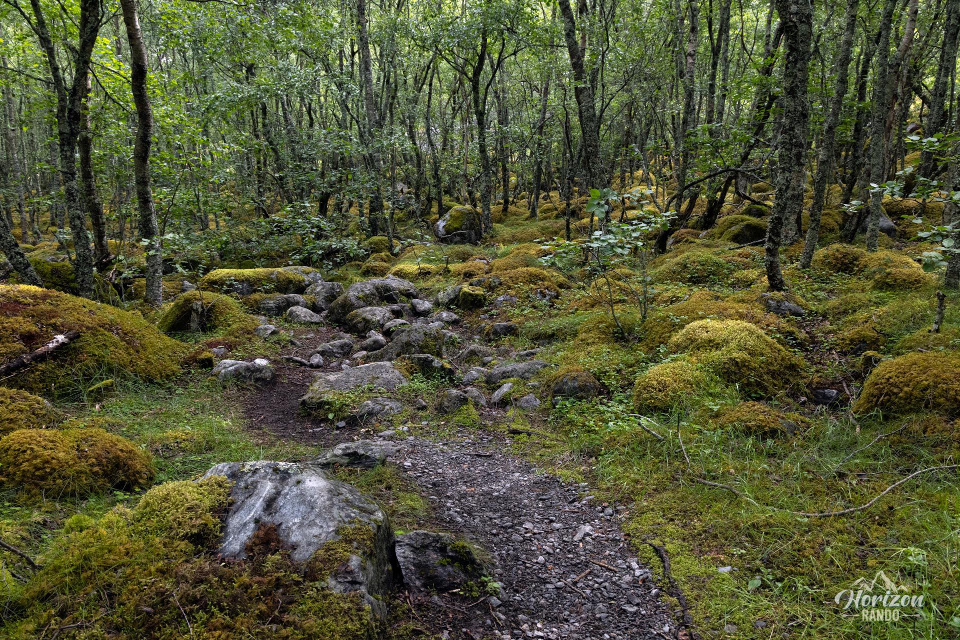
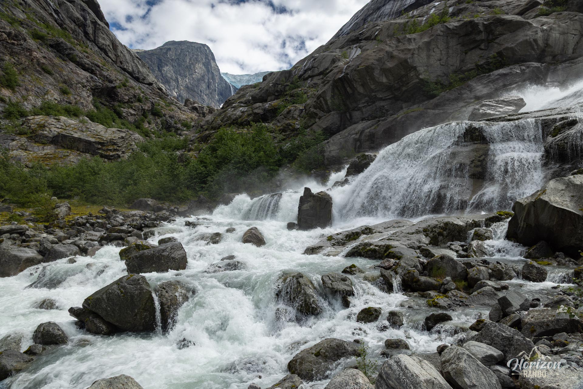
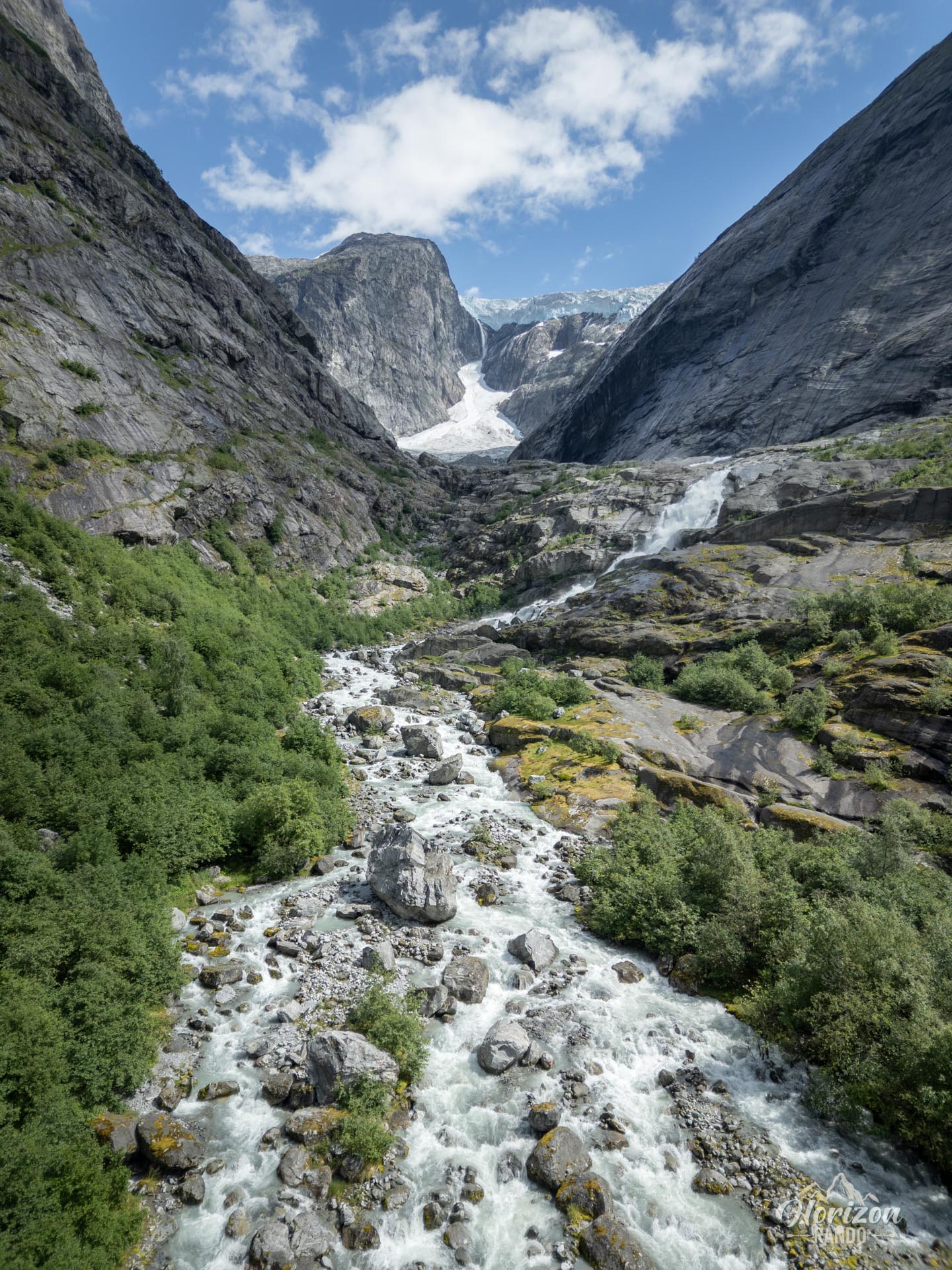
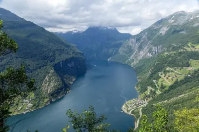
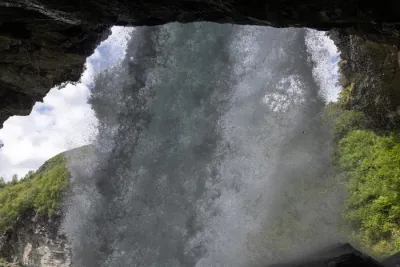
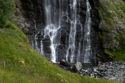
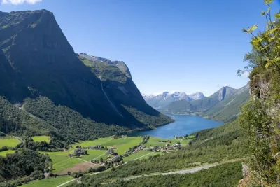
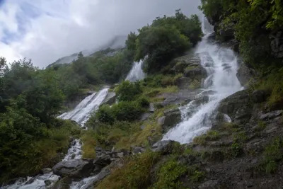
The route presents no technical difficulties. The first section, which is approximately 1.5 kilometers long, follows a wide forest track that leads to a viewpoint overlooking the Oldedalen valley. Then, the trail enters the Brenndalen Valley and passes through a pleasant forest on nearly flat ground until the final approach, which is marked by a waterfall fed by the Brenndalsbreen glacier.
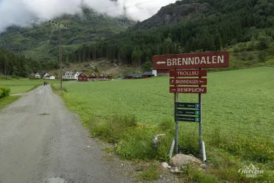
Although marking is sporadic, the path remains relatively easy to follow thanks to a few well-placed directional signs.
Although marking is sporadic, the path remains relatively easy to follow thanks to a few well-placed directional signs.
What you'll love
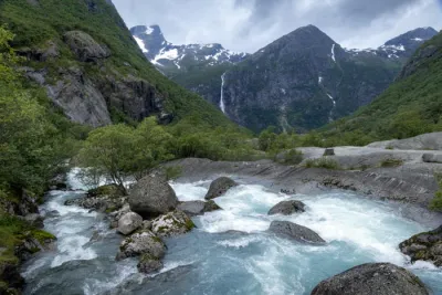
- The variety of landscapes: Lush forests, torrents, tumultuous waterfalls, glaciers, and glacial valleys.
- A much more peaceful atmosphere and less touristy than at the popular nearby Briksdalsbreen glacier.
Practical information
Parking
A parking is available for a fee (70 NOK in 2025), with limited spaces.
Please note
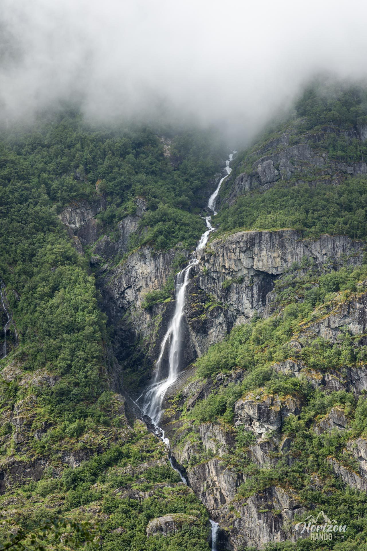
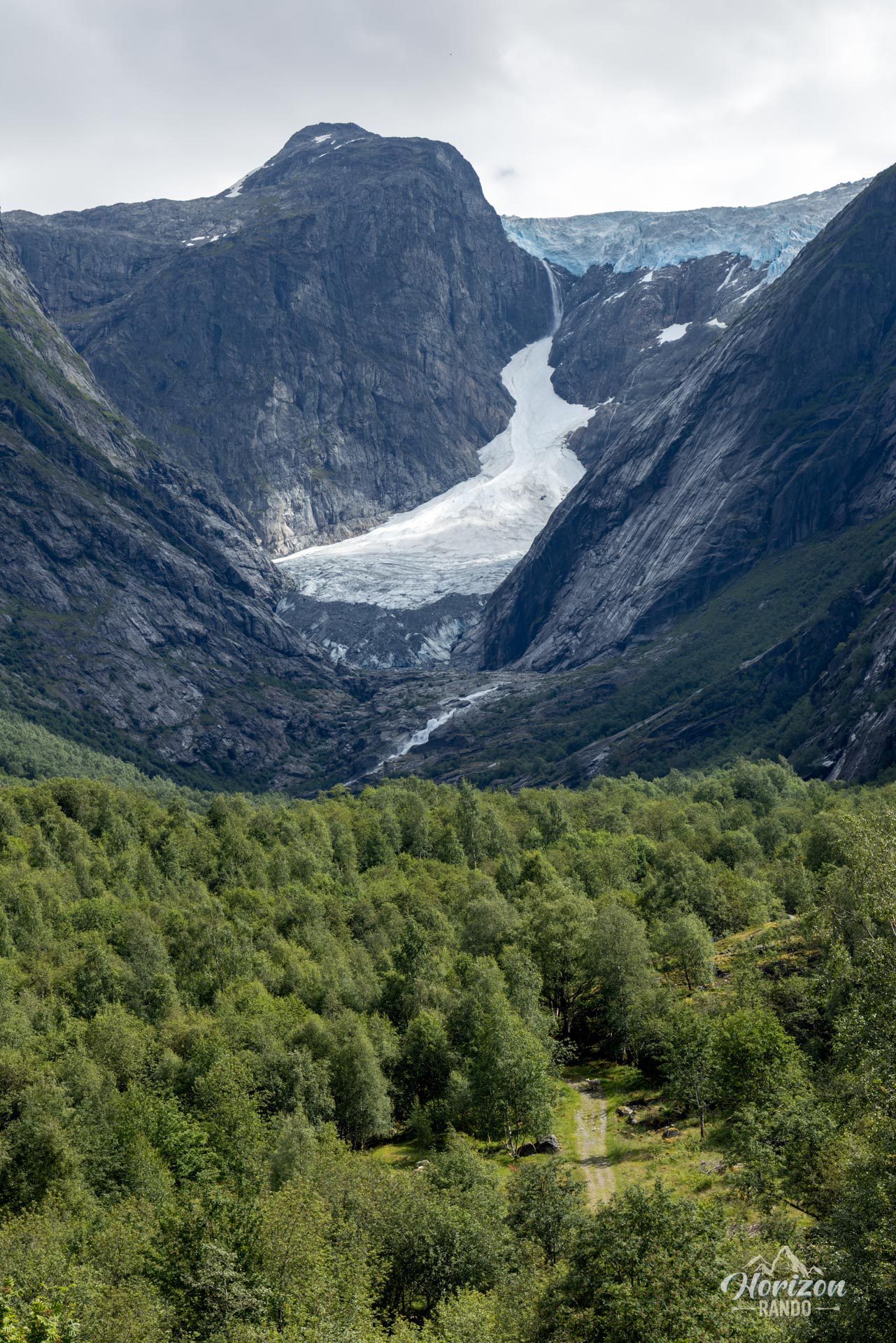
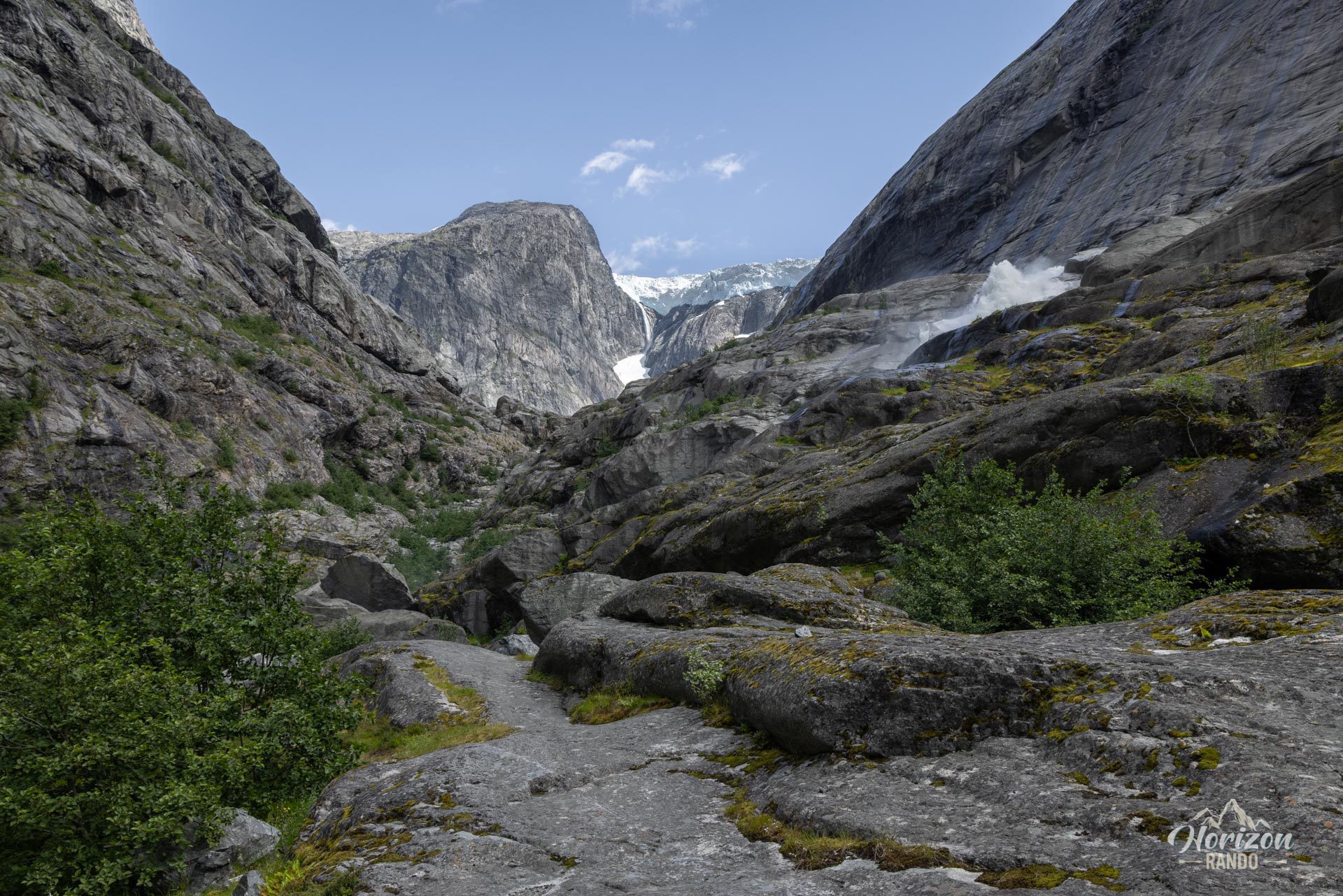
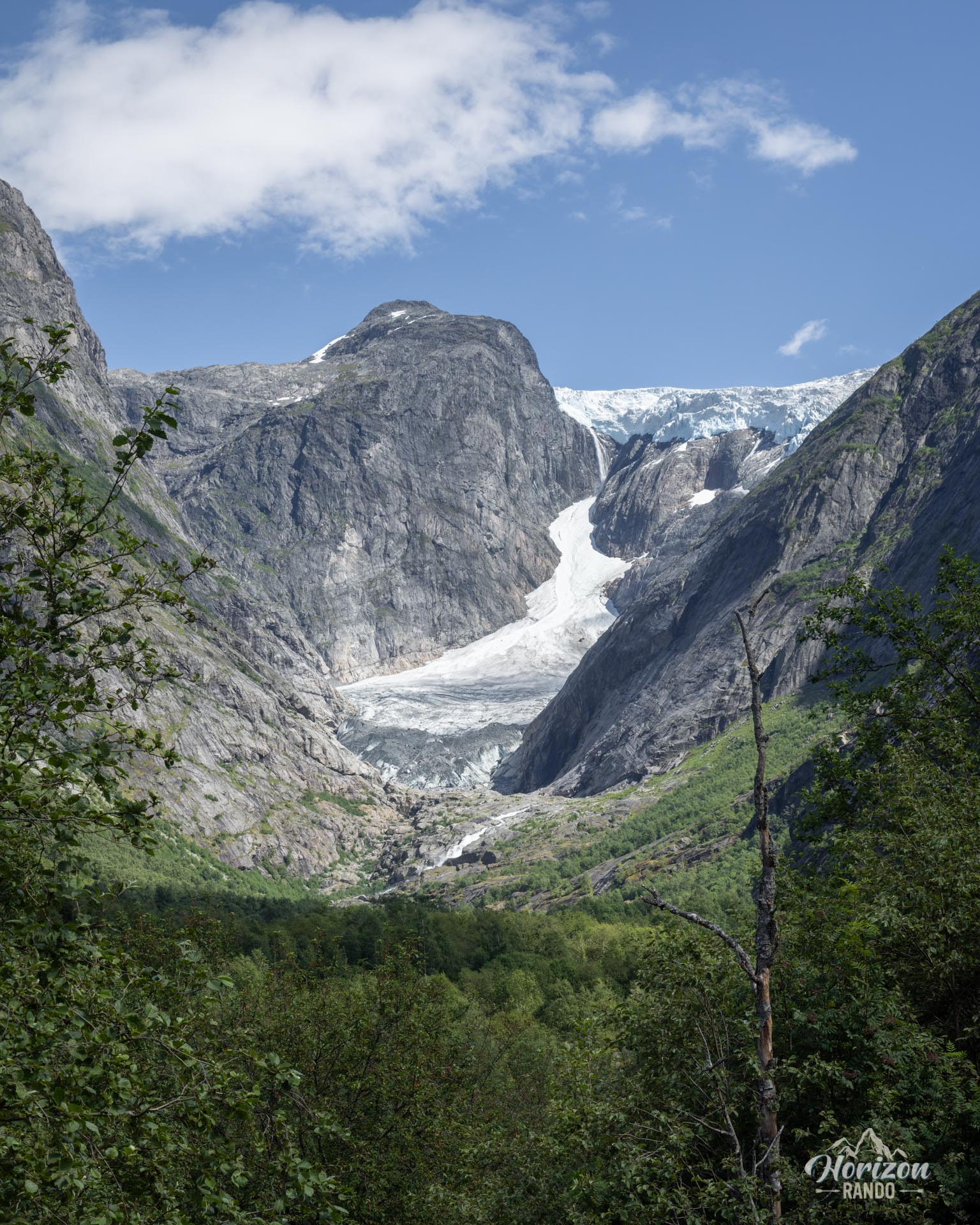
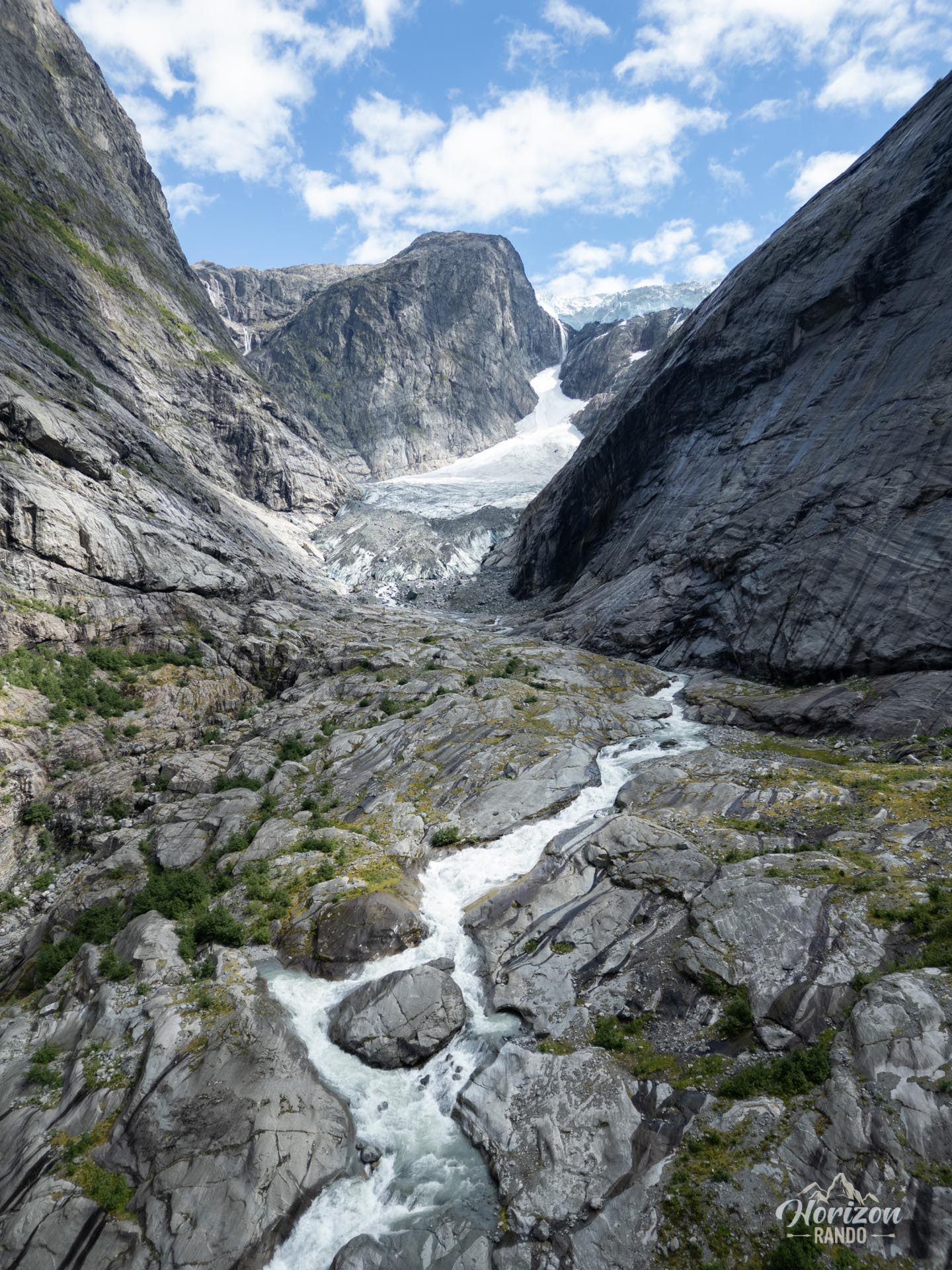
The Brenndalsbreen glacier is not directly visible from the end of the trail. Only a spectacular waterfall, fed by its meltwater, can be seen. The glacier's retreat in recent decades now limits its visibility to distant viewpoints.
Photos
See all 17 photos →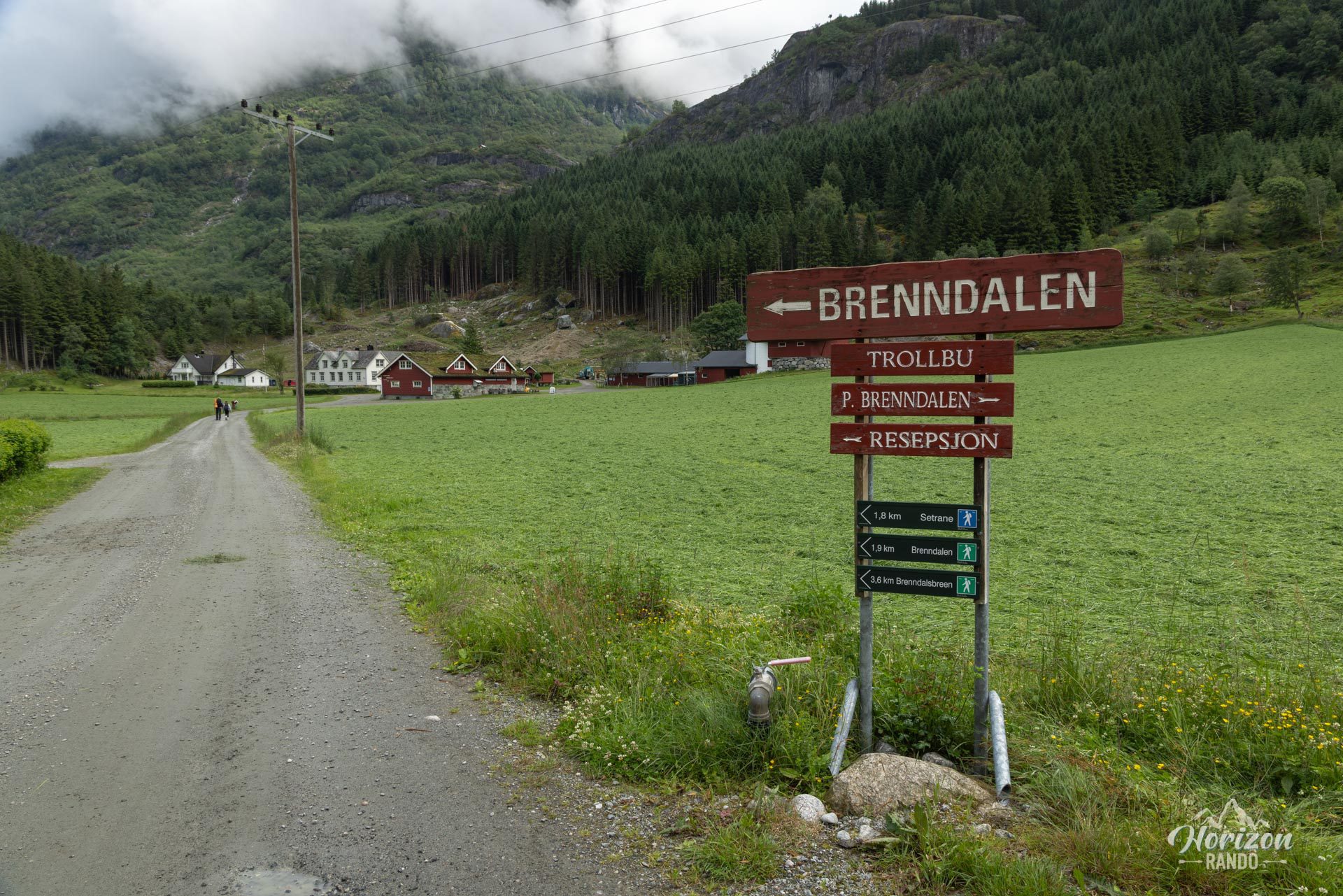
More hikes to do in Norway
Nearby hikes

Printed from www.horizonrando.fr/en/norway/brenndalsbreen/