





Raksætra Hike
Key facts about the hike
- Difficulty
- Easy Hikes are rated from very easy to very hard: my difficulty scale
- Duration
- 1h15 Estimated time, short breaks included (photos, water, snacks), picnic not included: how it is calculated
- Distance
- 2.6km
- out and back
- Elevation gain
- 250m
- Type of route
- Out and back
- Maximum altitude
- 547 m
- Vertiginous Five levels, depending on how exposed the route is: the levels in detail
- No
- Marked
- No
- Popularity
- High
- County
- Vestland
- Start point
- 61.88047, 6.78971
- Activity
- Hiking
Hike overview
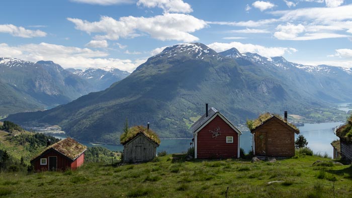
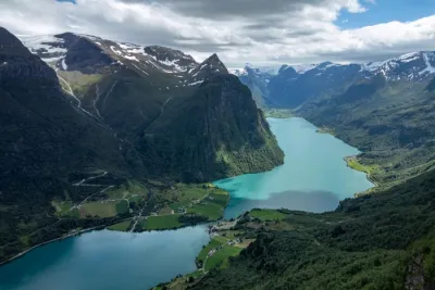
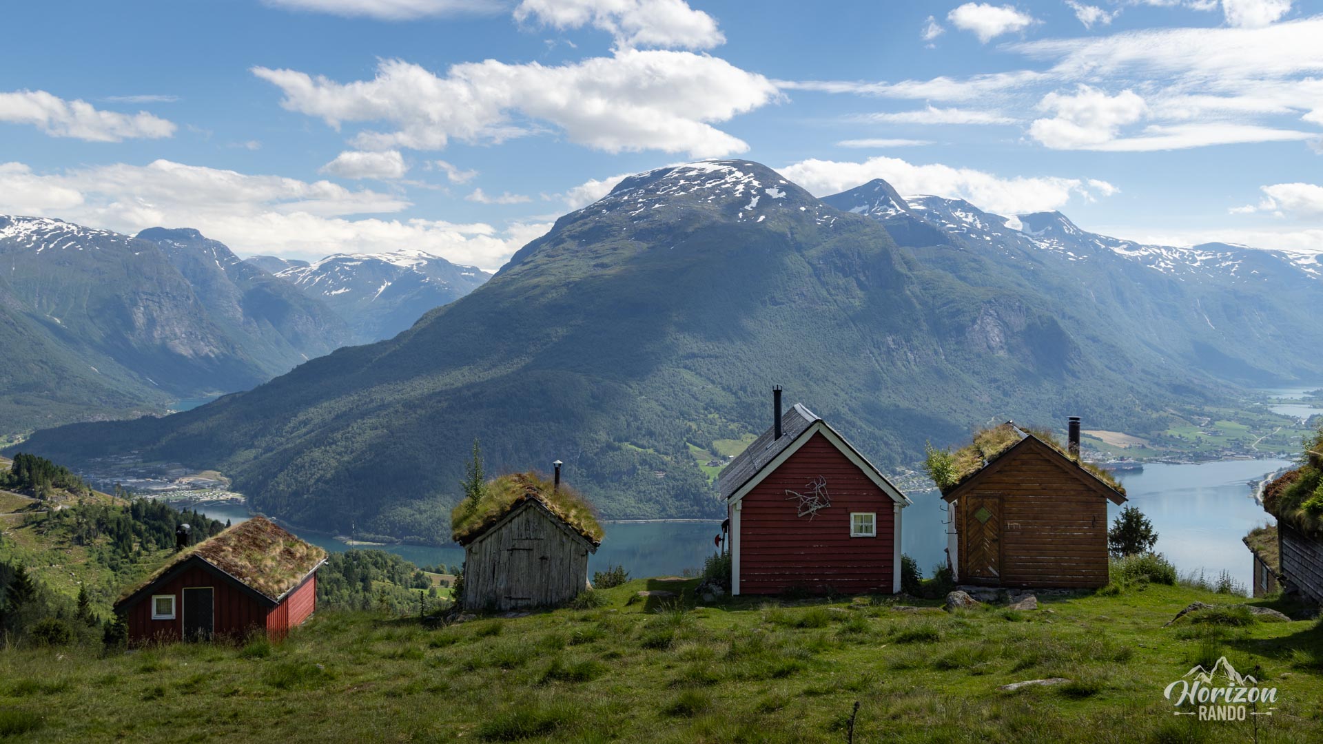
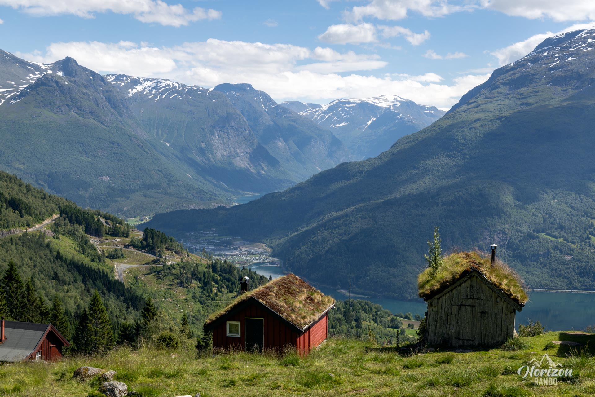
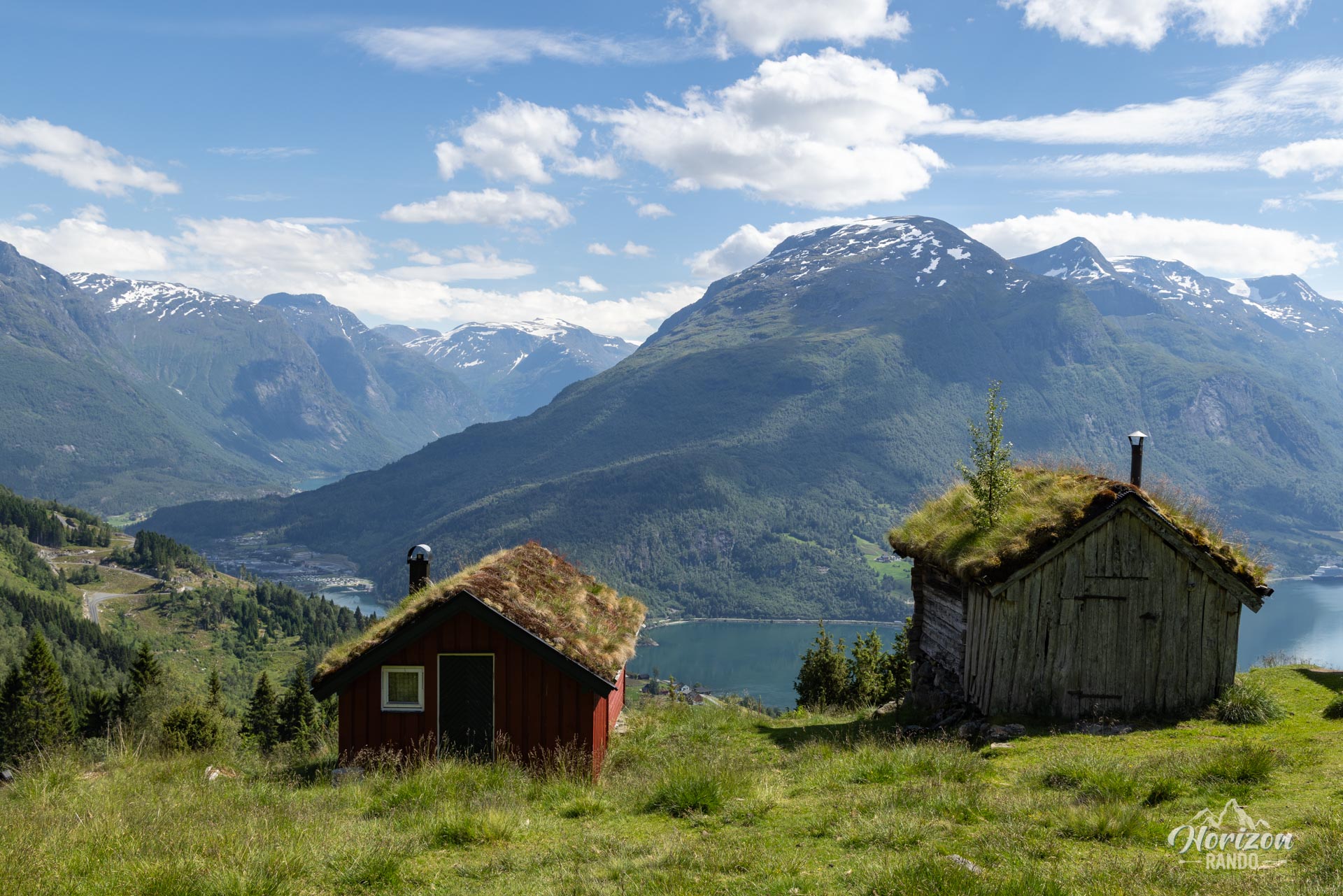
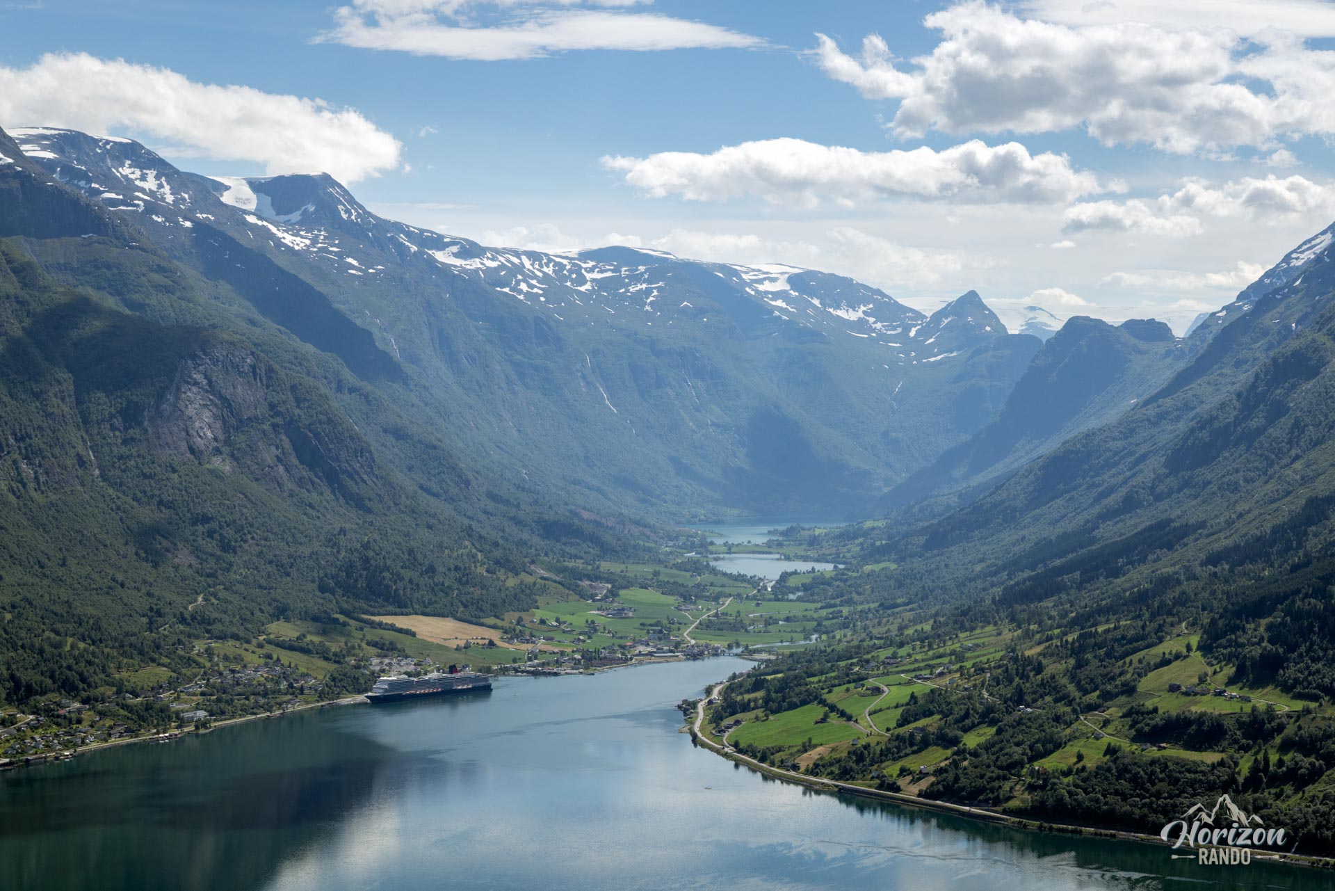
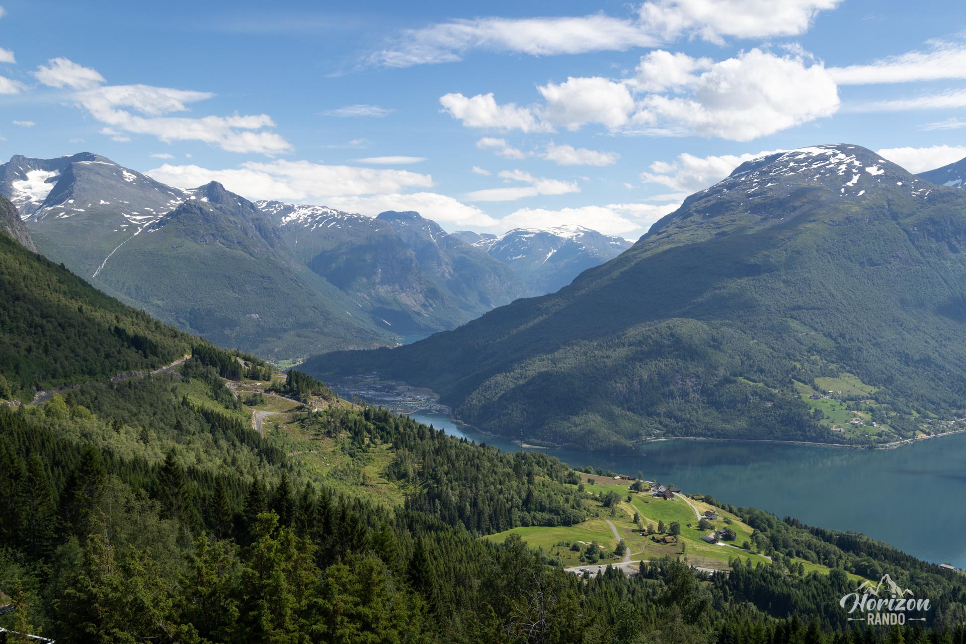
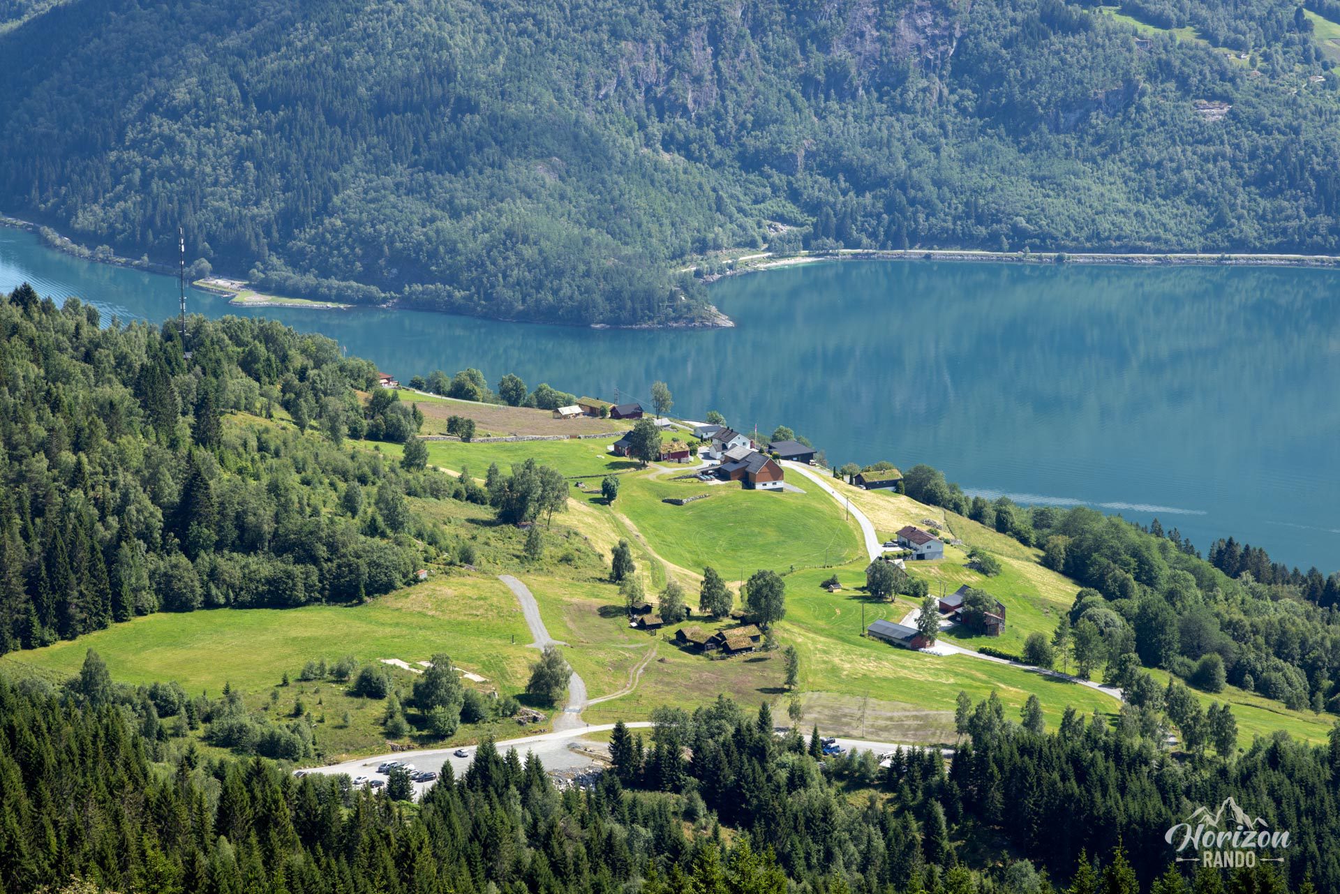
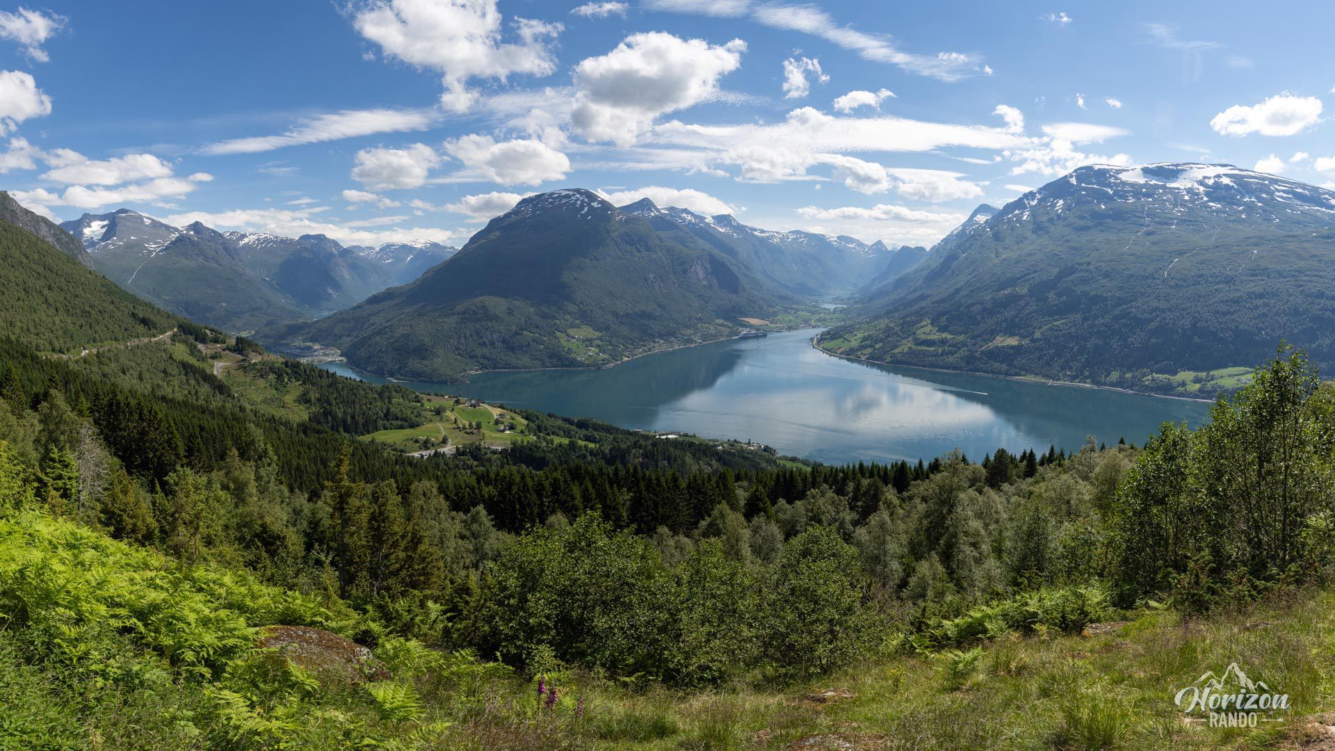
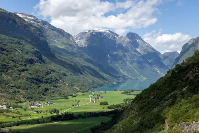
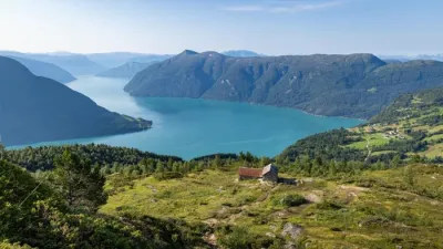
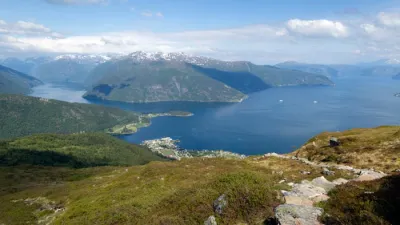
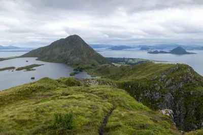
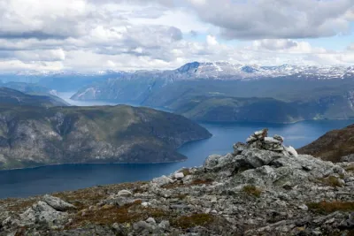
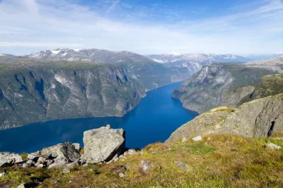
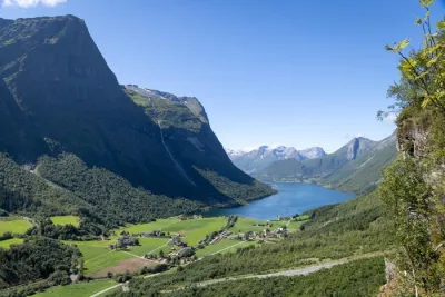
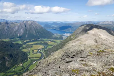
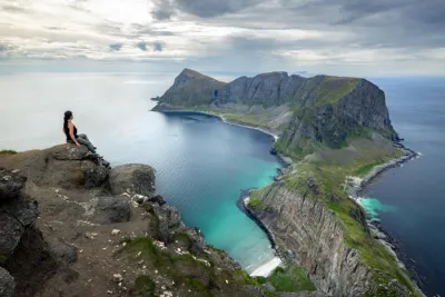
Raksætra is an idyllic old mountain farm situated on a mountainside between Loen and Stryn, in Norway. This short hike takes you through forests and pastures to an elevation of 540 meters, where you will be rewarded with stunning views of the majestic Innvikfjord and the Lodalen and Oldedalen valleys.
Map and elevation profile of the hike
Raksætra Hike
Difficulties of the hike
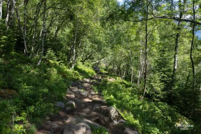
The hike to Raksætra is ideal for a family outing and is not particularly difficult. The trail runs through the forest for almost the entire route and is clearly defined thanks to its popularity. Though not marked, the path is clearly indicated at the start and at the few intersections. An information board and a map of local routes are available at the parking lot.
What you'll love
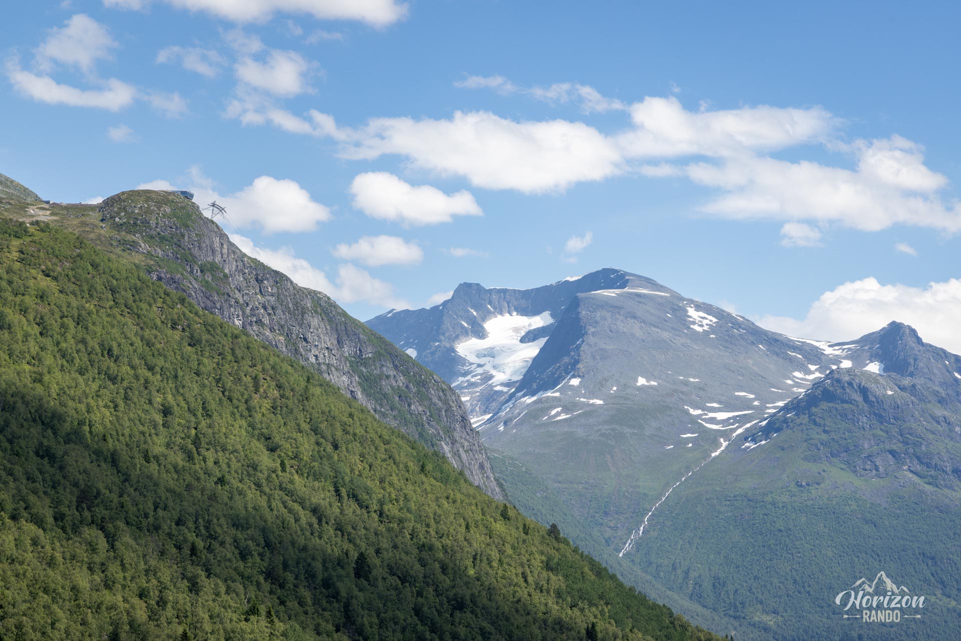
- Exceptional panoramic views: Breathtaking views of the Innvikfjord, the villages of Loen and Olden, and the surrounding mountains.
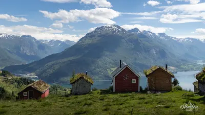
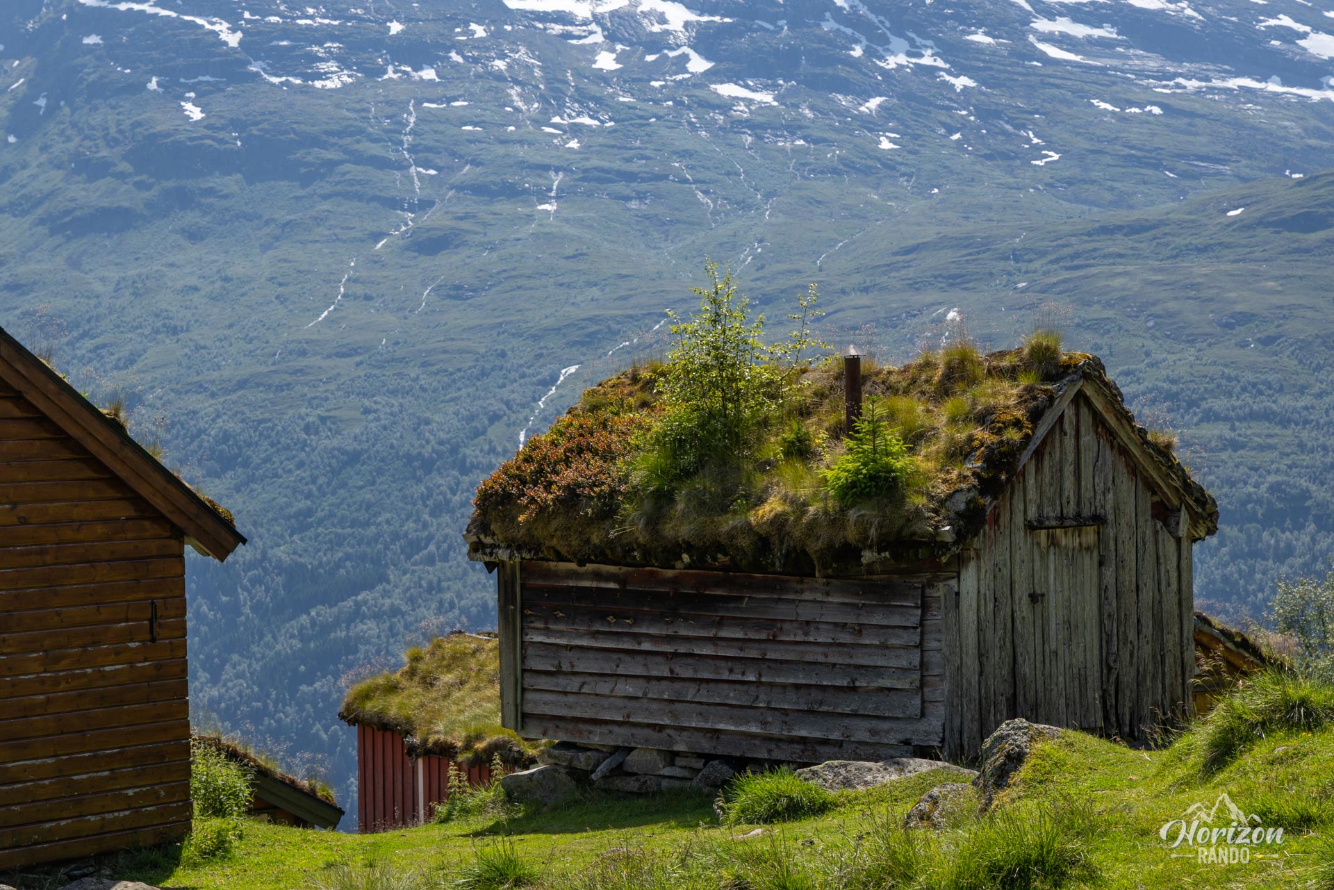
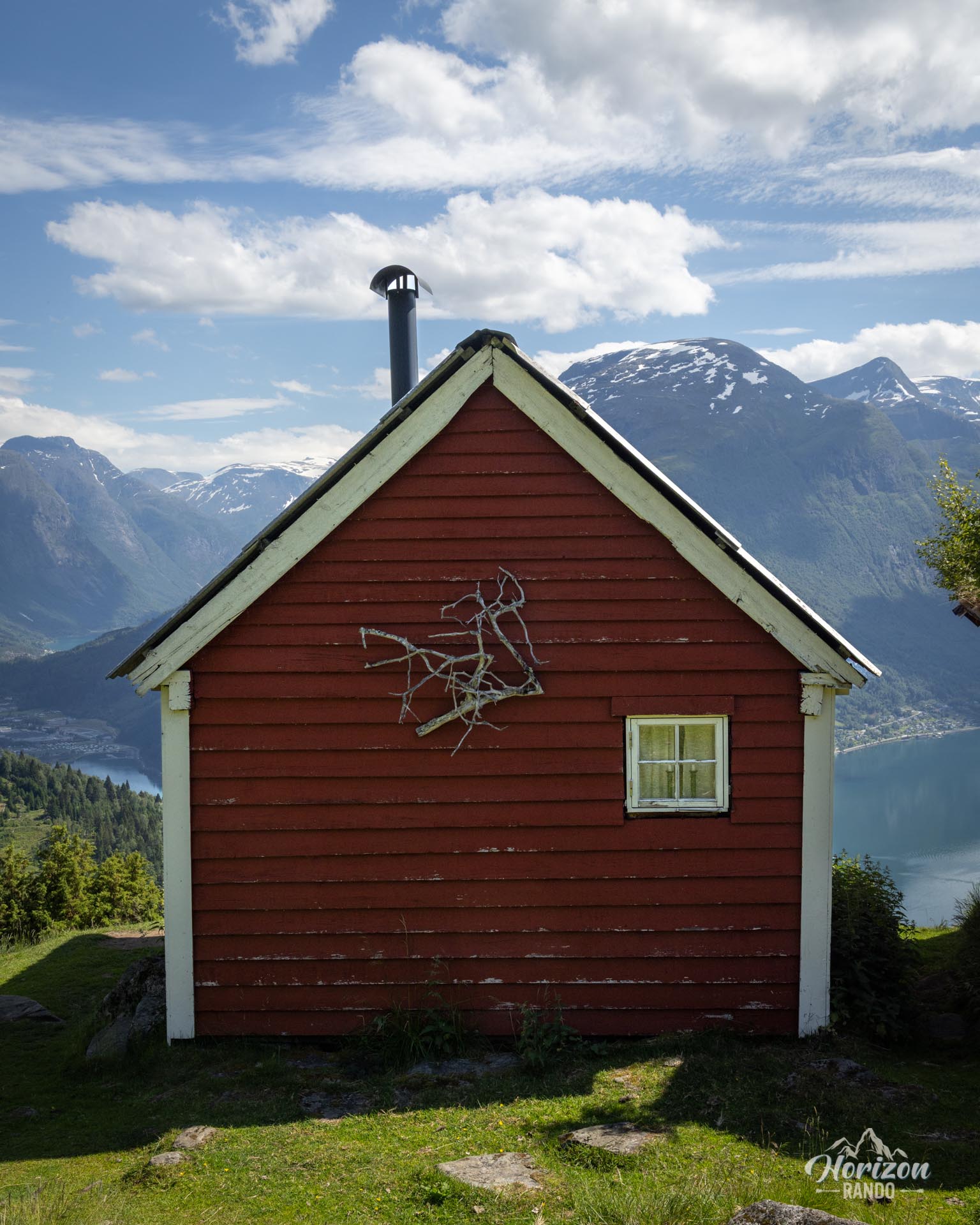
- The authentic charm of old alpine chalets: A picturesque setting with traditional green-roofed huts that are very photogenic.
Practical information
Parking
Spacious paid parking at the trailhead. Indicative price in 2025: NOK 85.
Best time to go
From May to October, on average. See the Norway FAQ for more details.
Photos
See all 11 photos →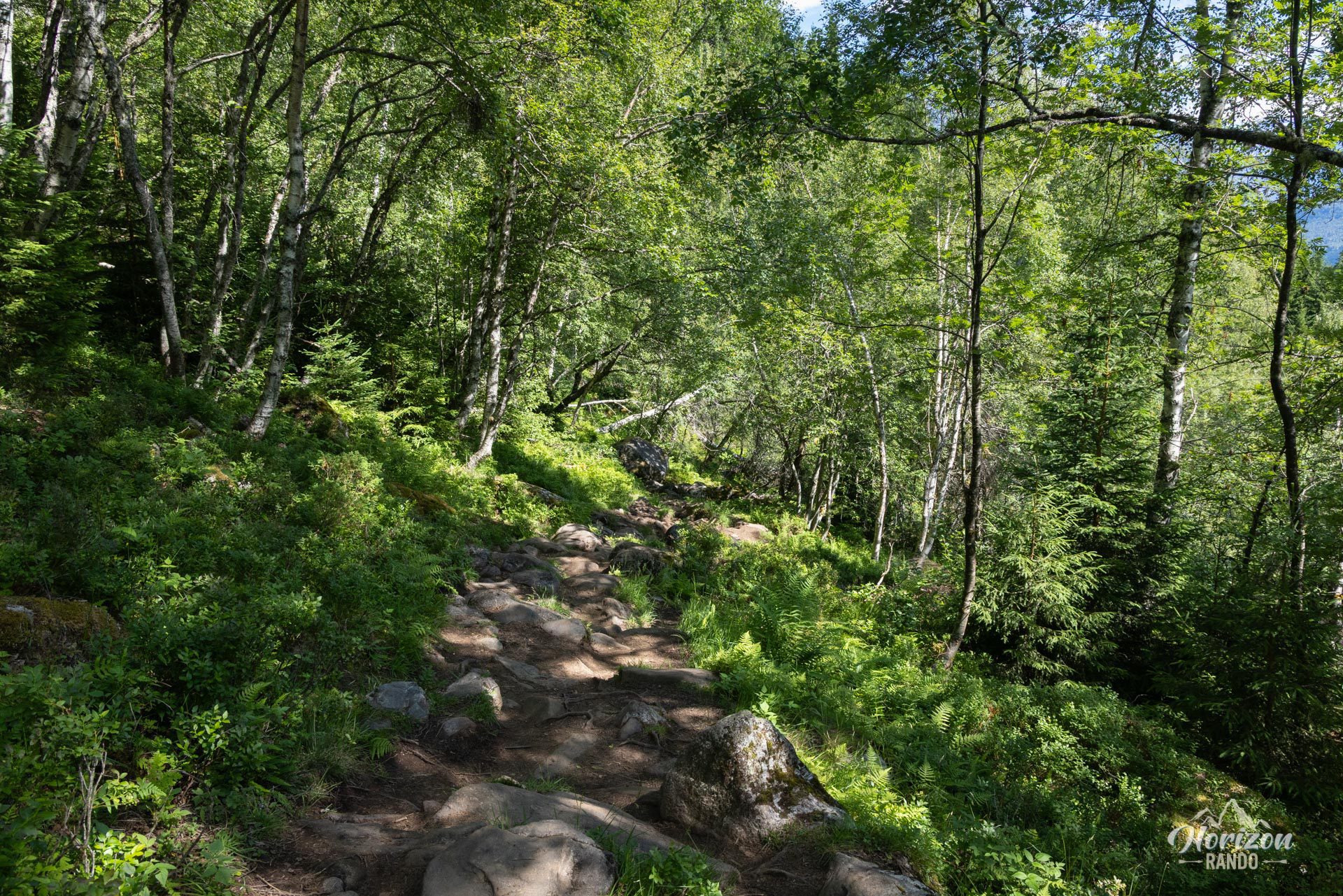
More hikes to do in Norway
Nearby hikes




Printed from www.horizonrando.fr/en/norway/raksaetra/