







Utsikten Hike
Key facts about the hike
- Difficulty
- Very easy Hikes are rated from very easy to very hard: my difficulty scale
- Duration
- 1h Estimated time, short breaks included (photos, water, snacks), picnic not included: how it is calculated
- Distance
- 1.5km
- out and back
- Elevation gain
- 150m
- Type of route
- Out and back
- Maximum altitude
- 120 m
- Vertiginous Five levels, depending on how exposed the route is: the levels in detail
- No
- Marked
- Yes
- Popularity
- Low
- Island
- Senja
- Start point
- 69.41263, 17.15366
- Activity
- Hiking
Hike overview
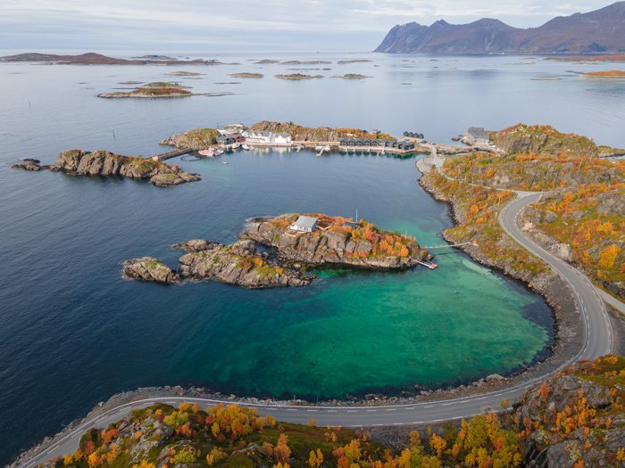
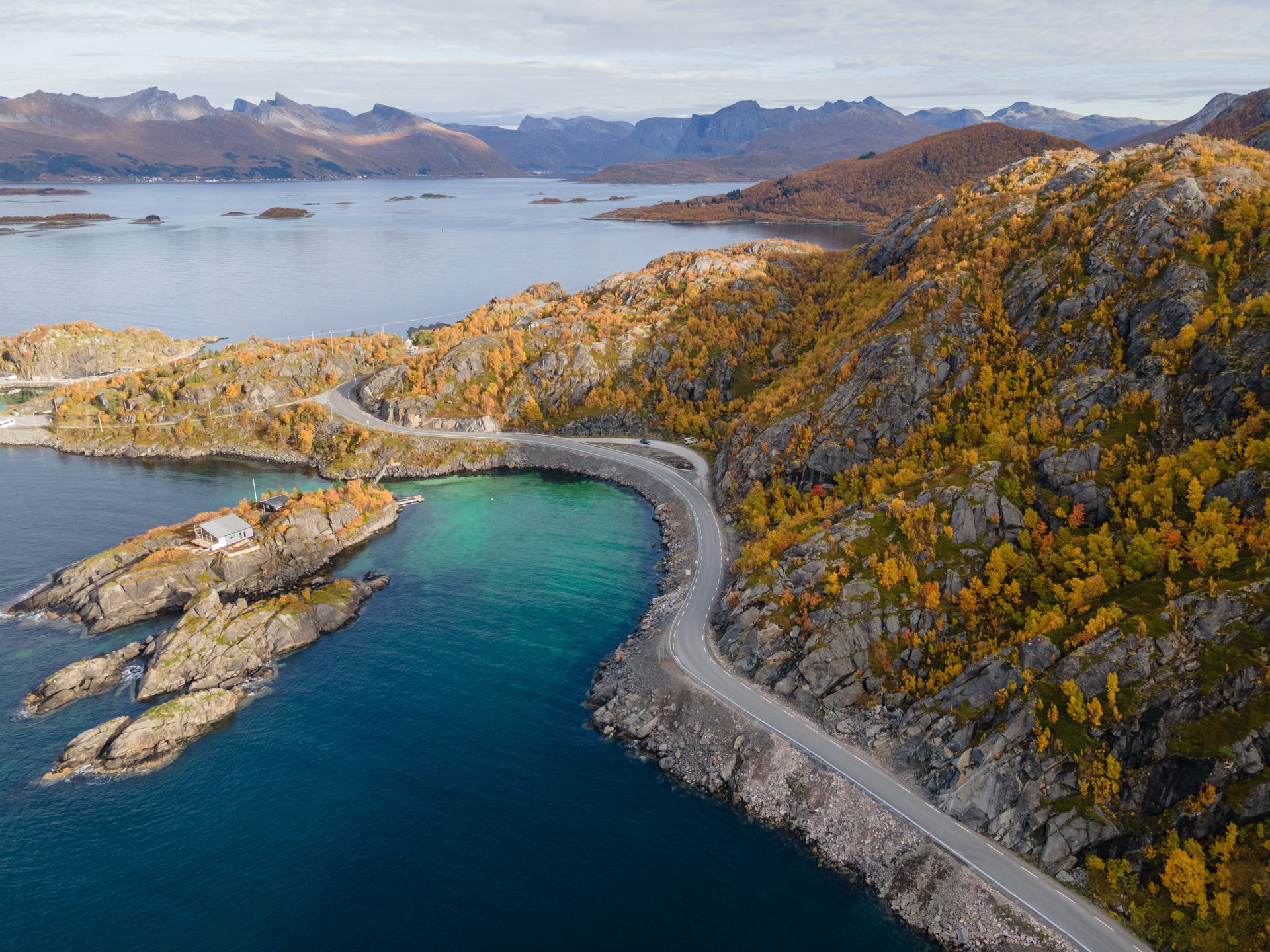
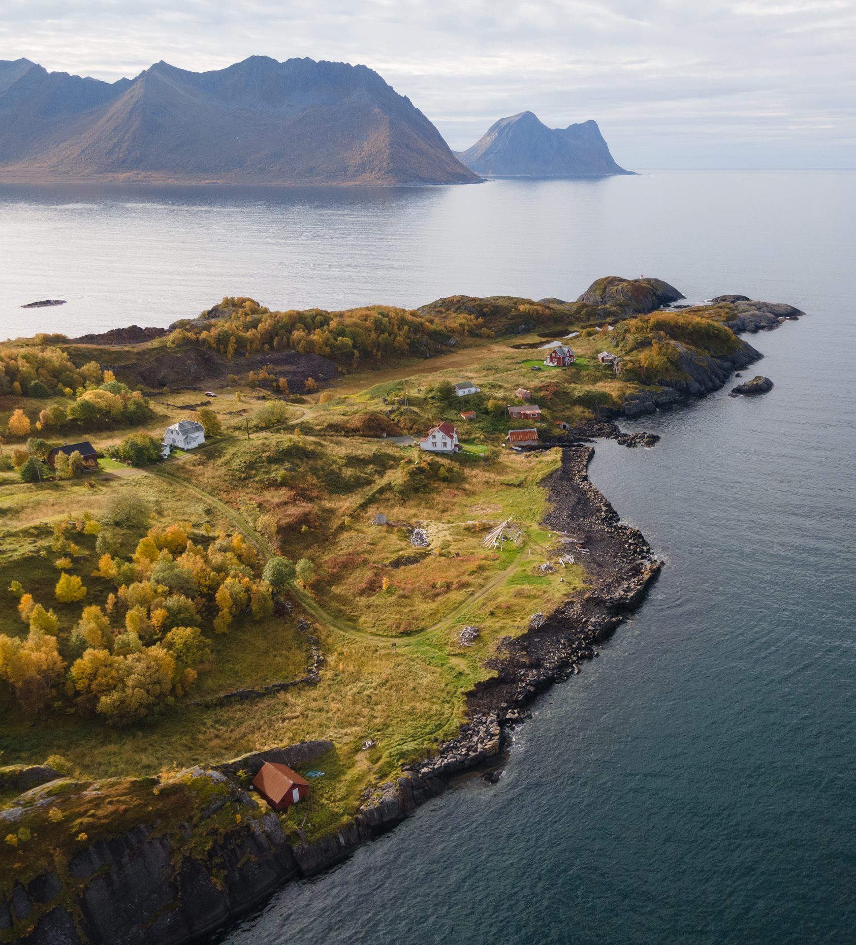
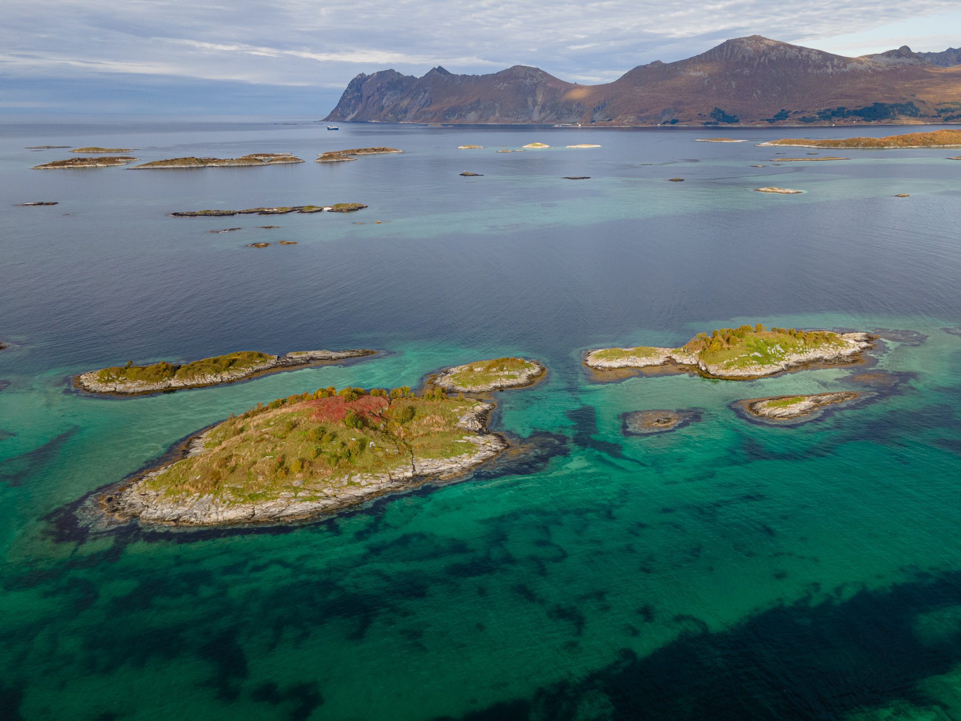
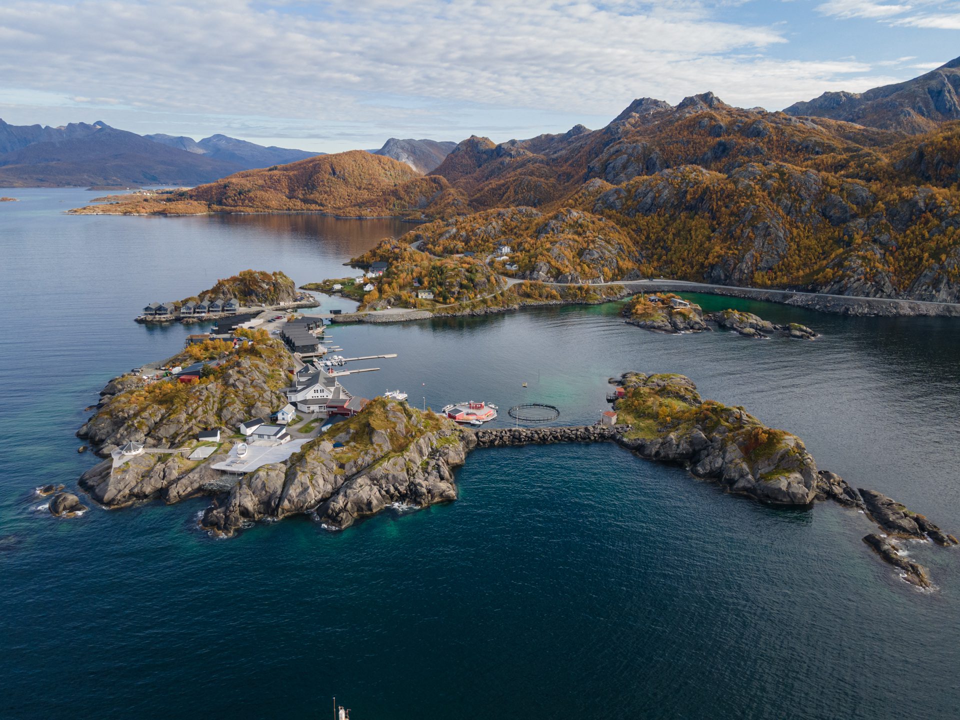
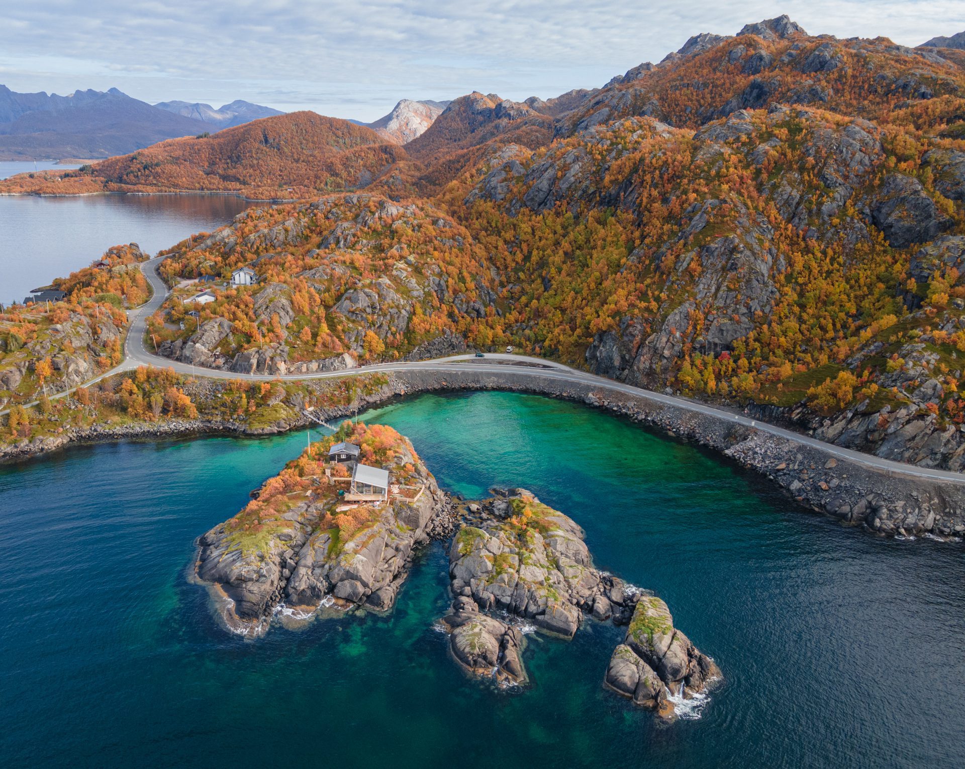
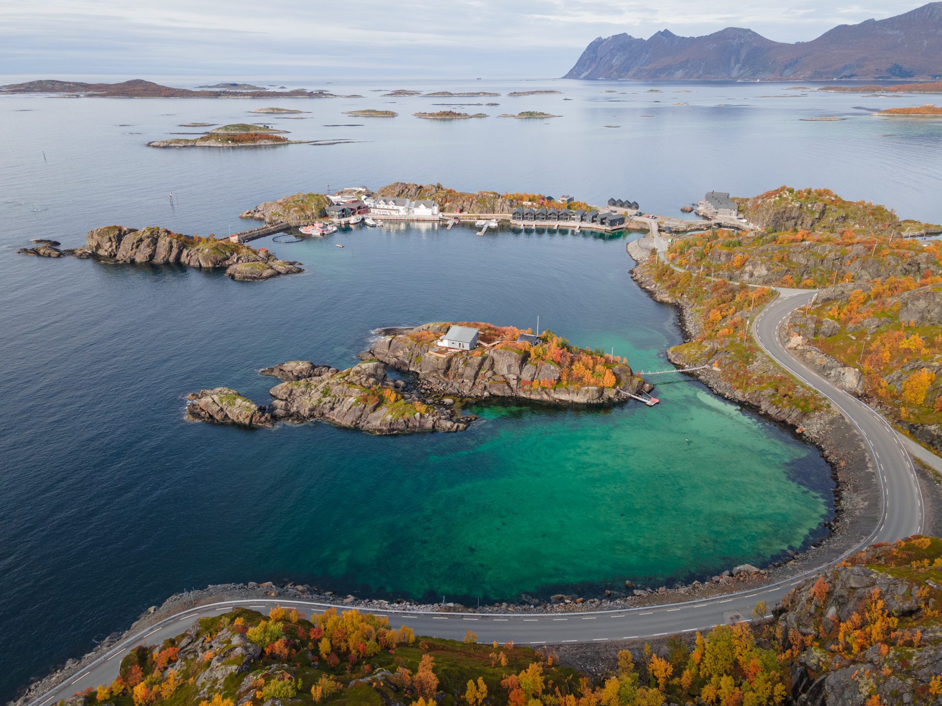
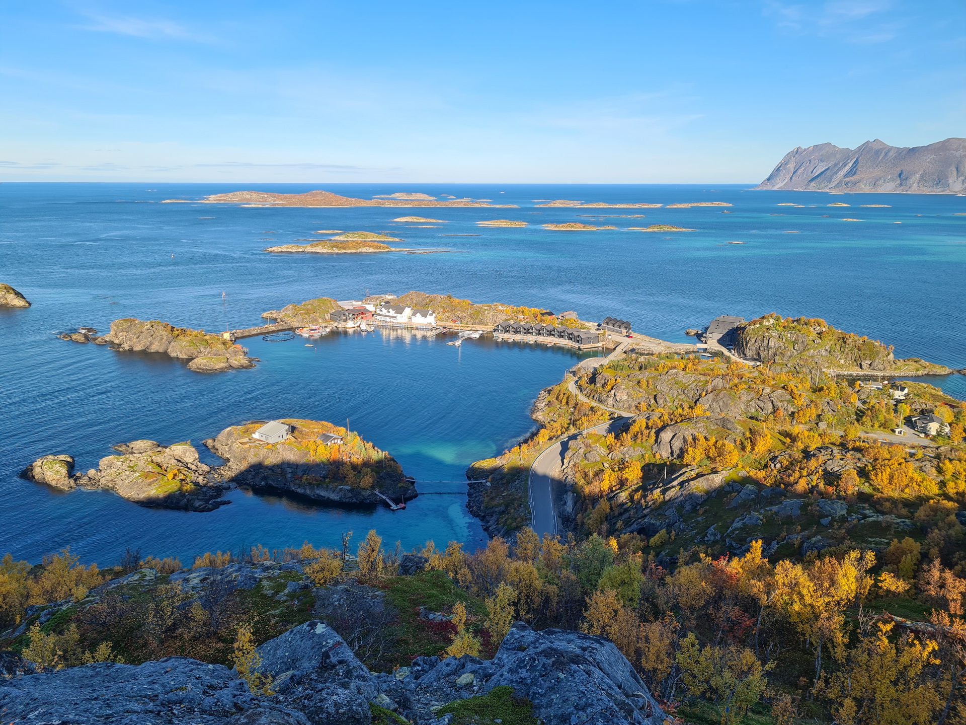
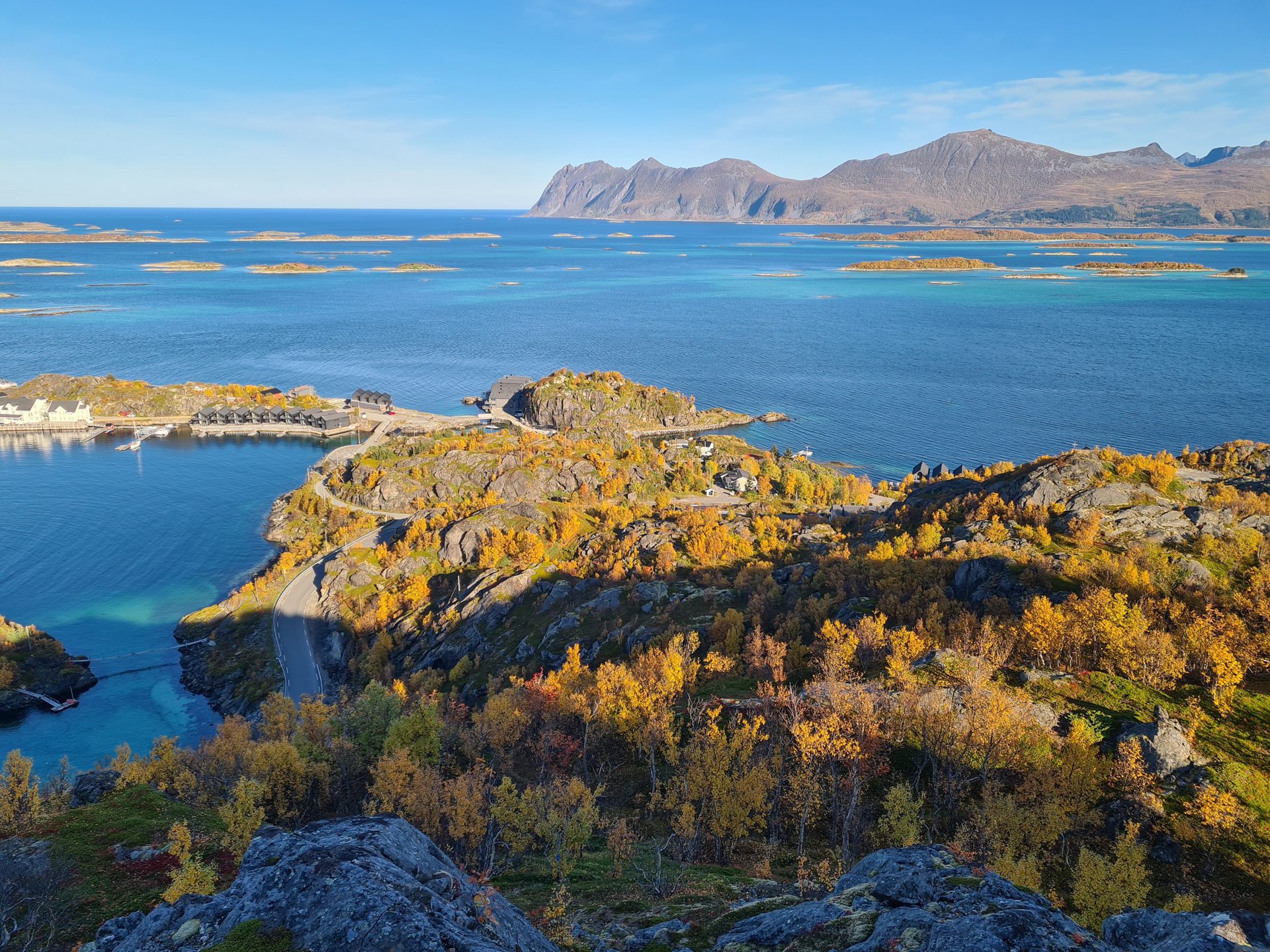
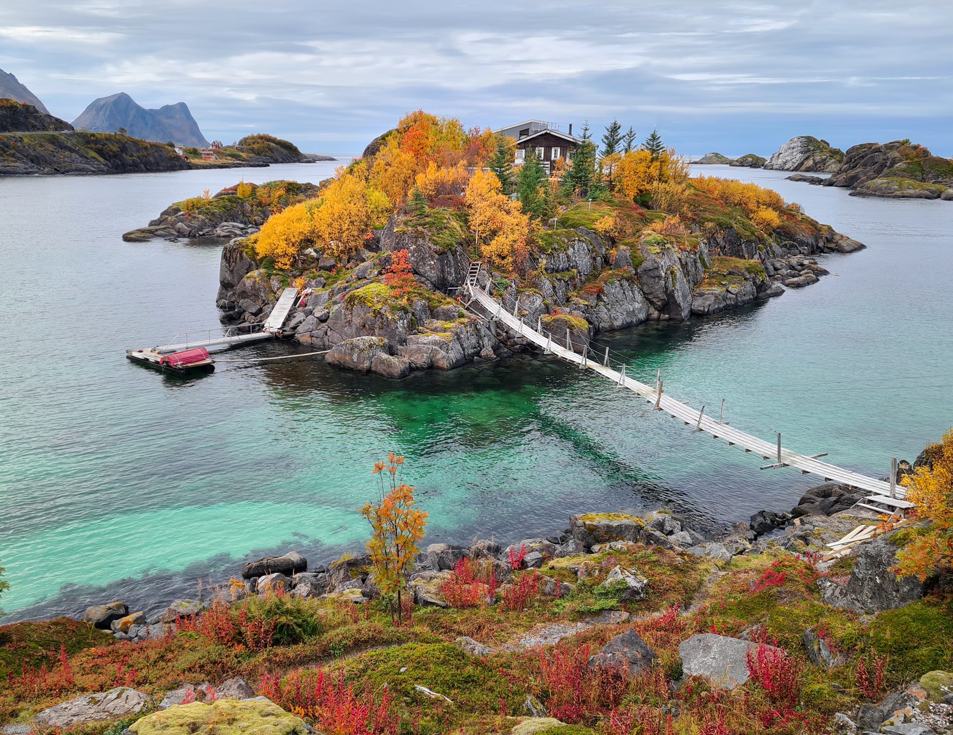
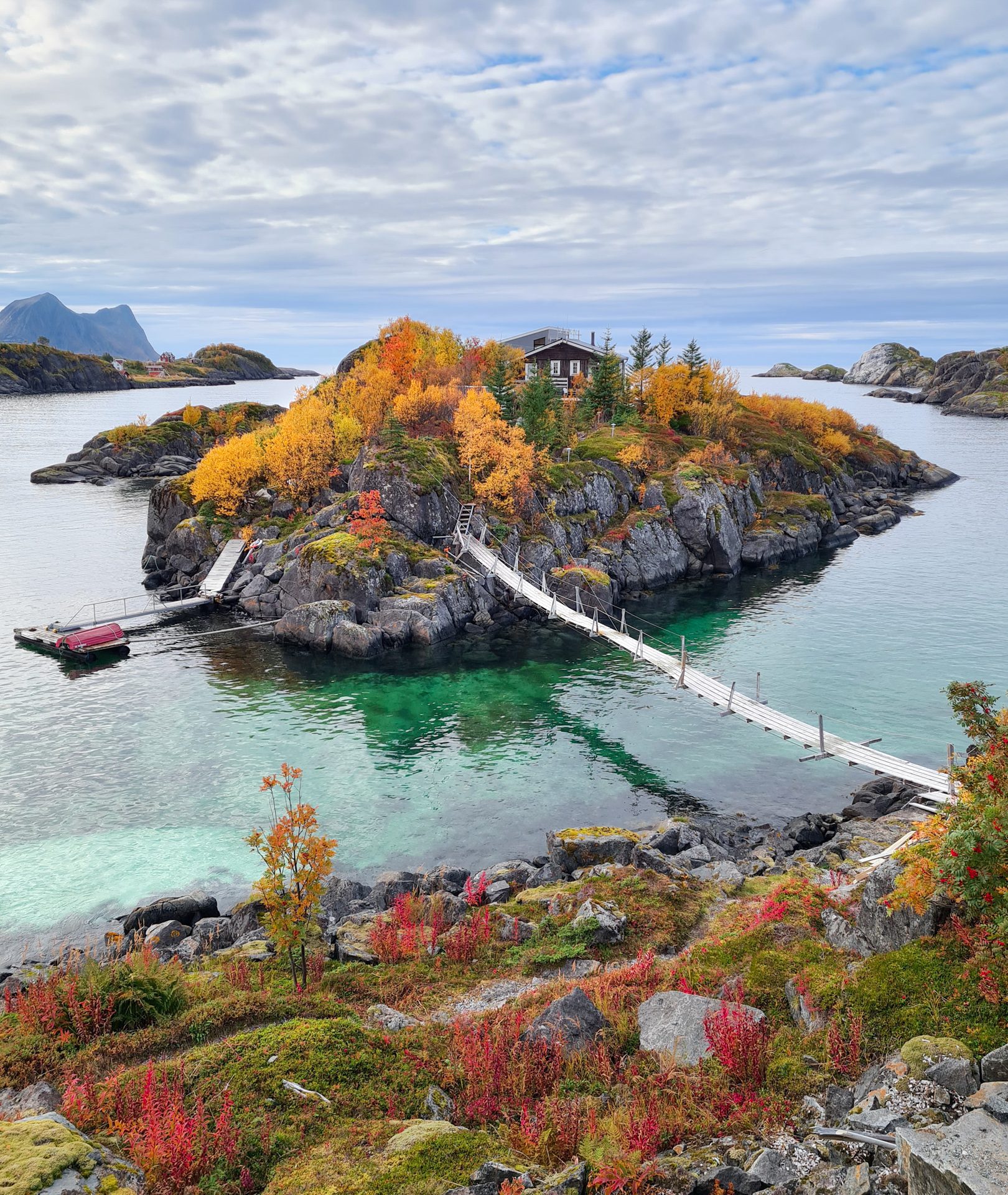
This easy family walk offers views of the village of Hamn on the island of Senja in Norway. Utsikten, which means "the view," is a promontory that offers spectacular panoramic sights of the hamlet below, the Bergsfjorden, and the countless small islands of Bergsøyan.
Map and elevation profile of the hike
Utsikten Hike
Difficulties of the hike
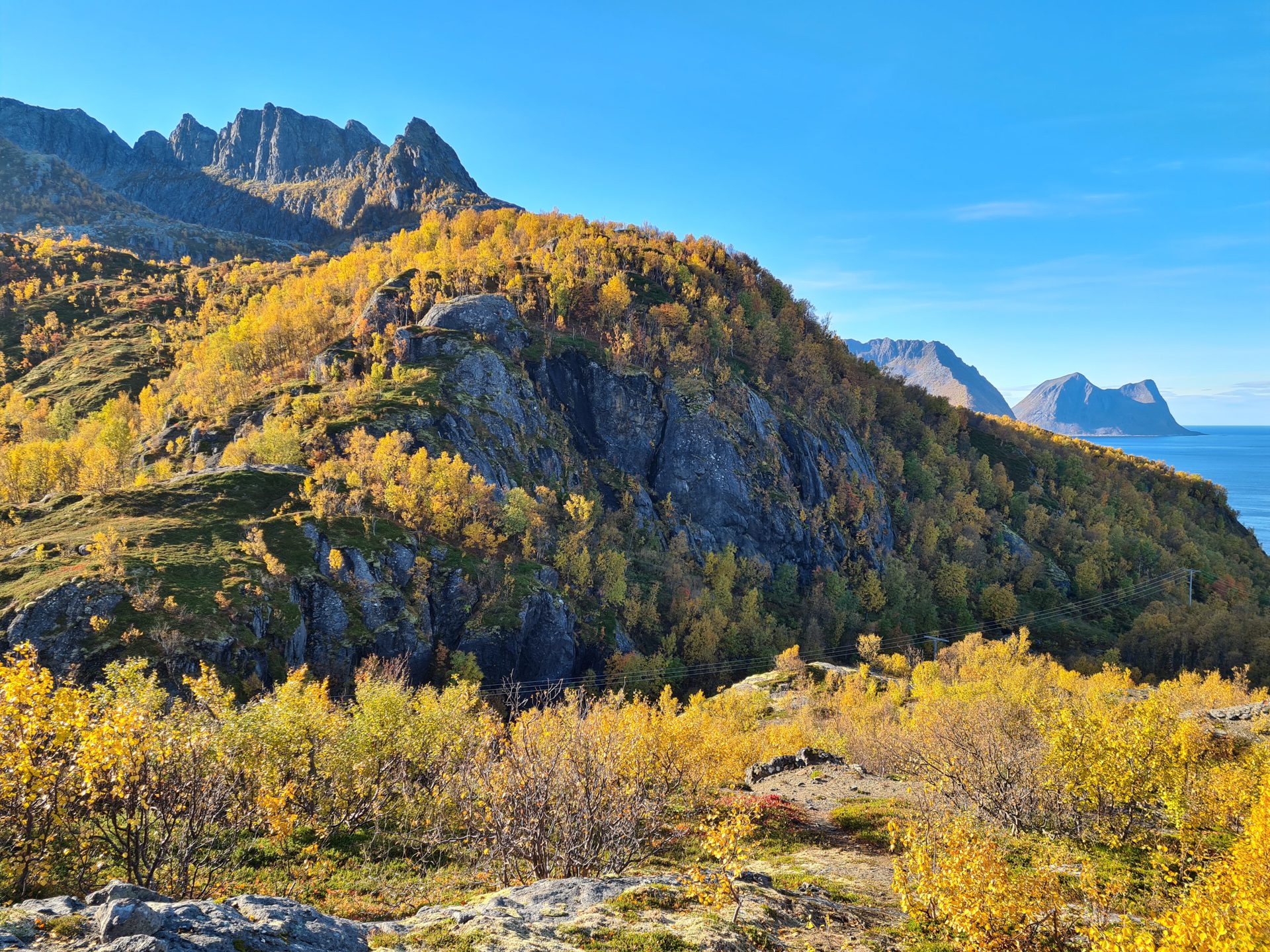
The well-maintained and clearly marked trail presents no difficulty. After a short, 15-minute climb through the forest, a sign will invite you to turn left toward the Utsikten viewpoint.
What you'll love
- A splendid view of the Hamn hamlet and the numerous small islets scattered around the fjord.
- A family-friendly walk accessible to walkers of all levels.
Practical information
Best time to go
May to October on average. See the Norway FAQ for more details.
Extension
Those who wish to continue can check out the hike to the summit of Sukkertoppen, which offers even more spectacular views.
Photos
See all 12 photos →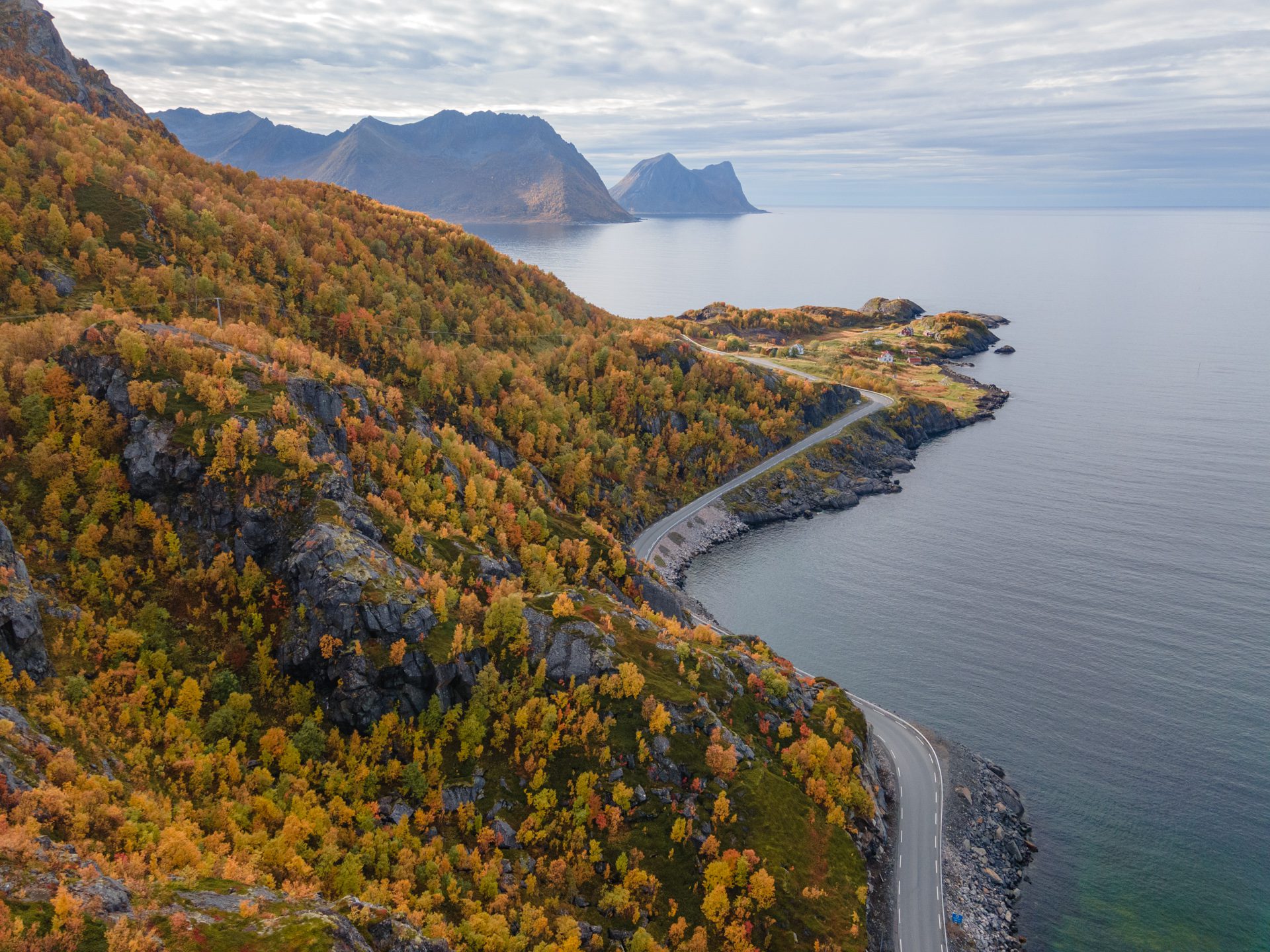
More hikes to do in Norway
Nearby hikes
























Printed from www.horizonrando.fr/en/norway/utsikten/