





Sólheimasandur Plane Wreck Hike
Key facts about the hike
- Difficulty
- Easy Hikes are rated from very easy to very hard: my difficulty scale
- Duration
- 1h45 Estimated time, short breaks included (photos, water, snacks), picnic not included: how it is calculated
- Distance
- 7.3km
- out and back
- Elevation gain
- 30m
- Type of route
- Out and back
- Maximum altitude
- 55 m
- Vertiginous Five levels, depending on how exposed the route is: the levels in detail
- No
- Marked
- Yes
- Popularity
- Moderate
- Region
- South
- Start point
- 63.49061, -19.36390
- Activity
- Hiking
Hike overview
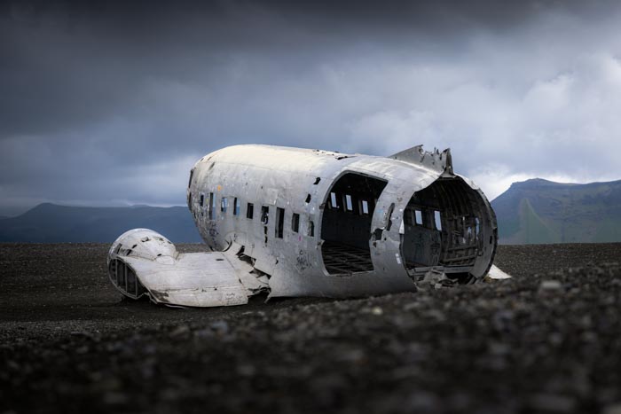
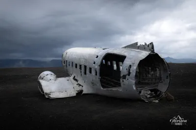
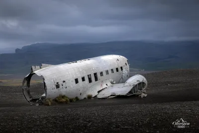
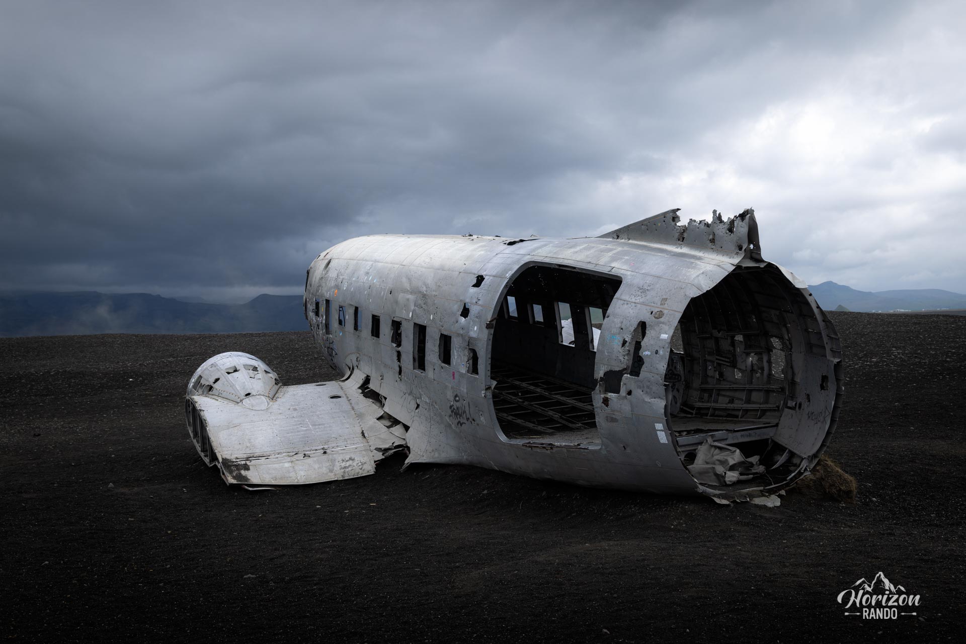
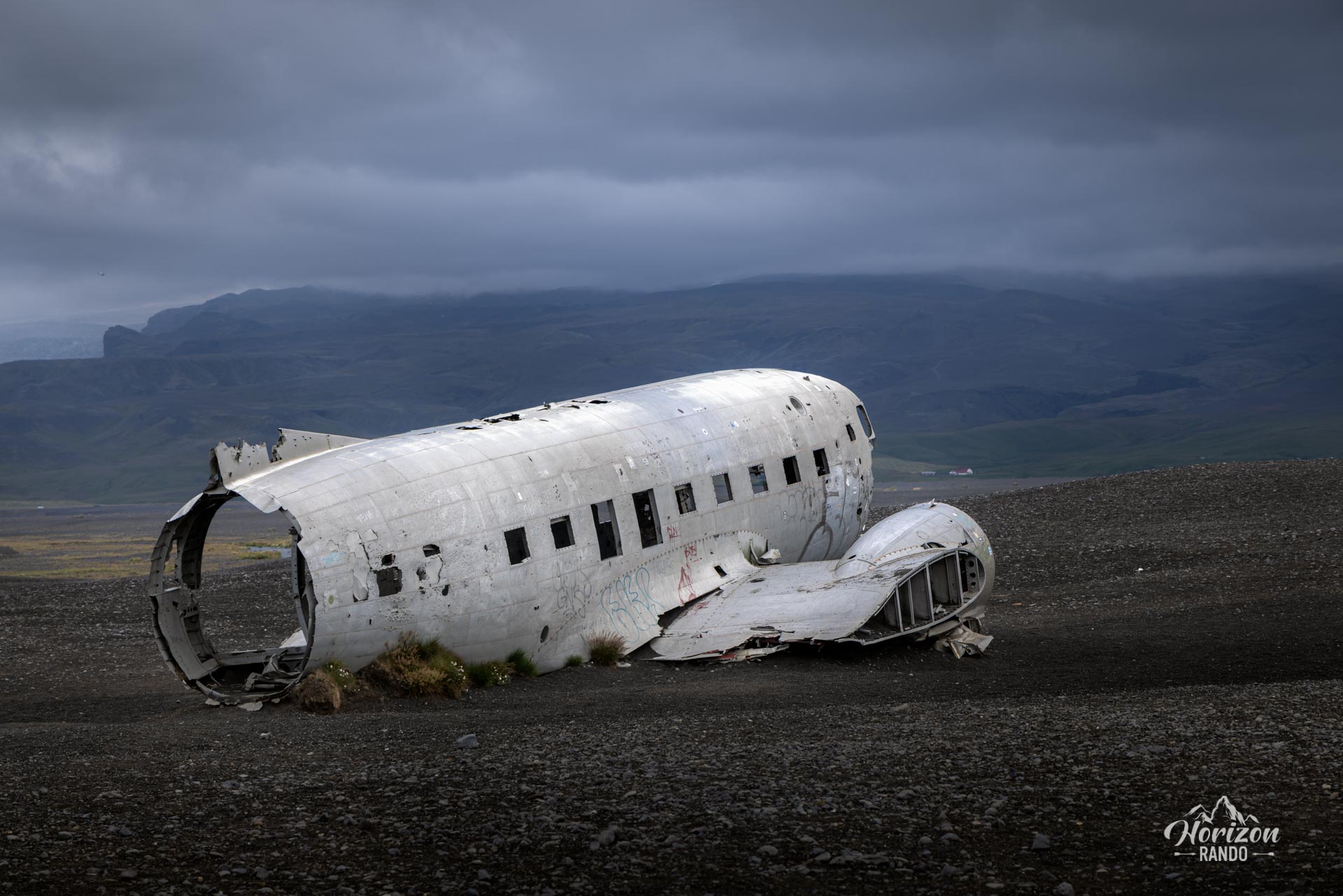
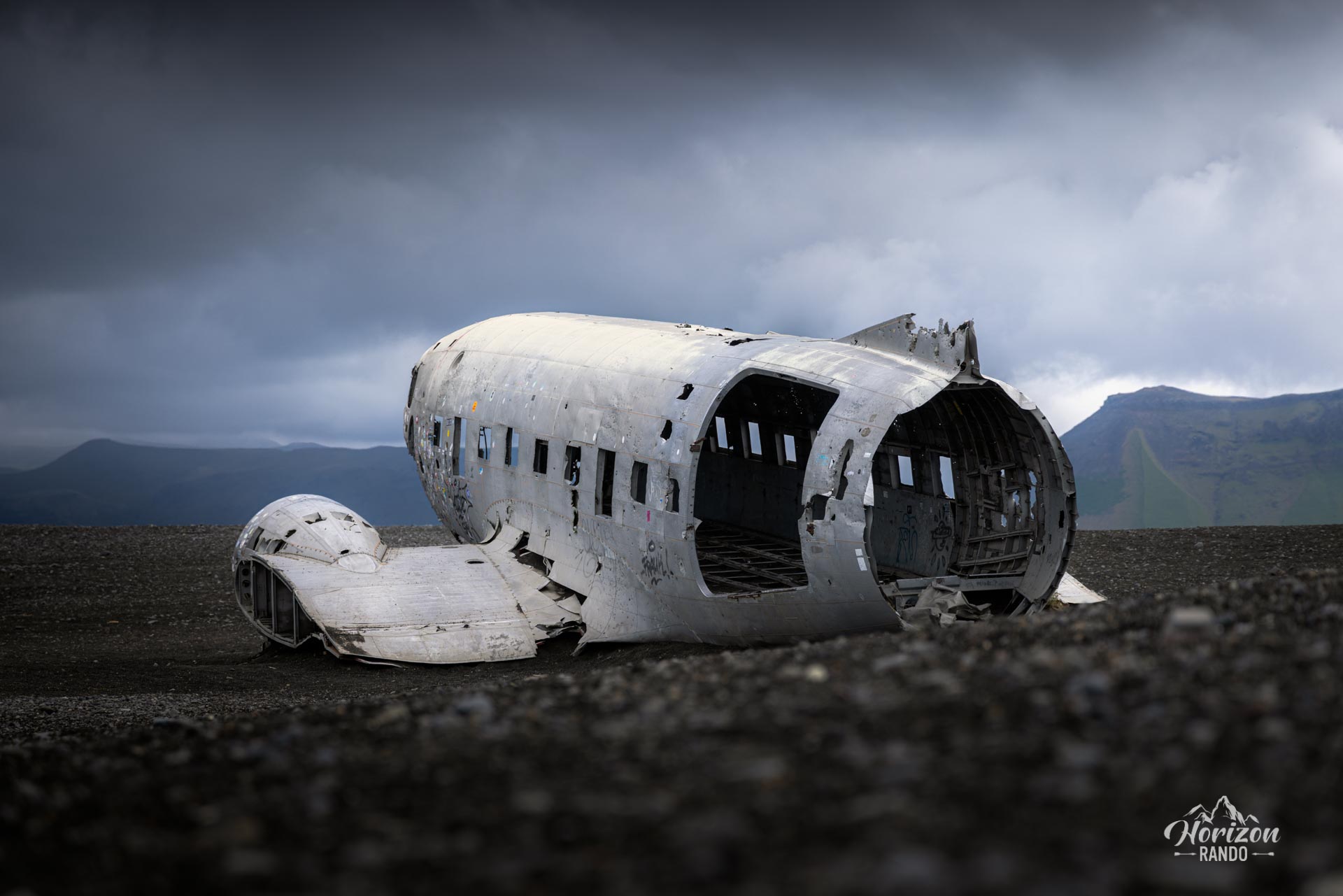
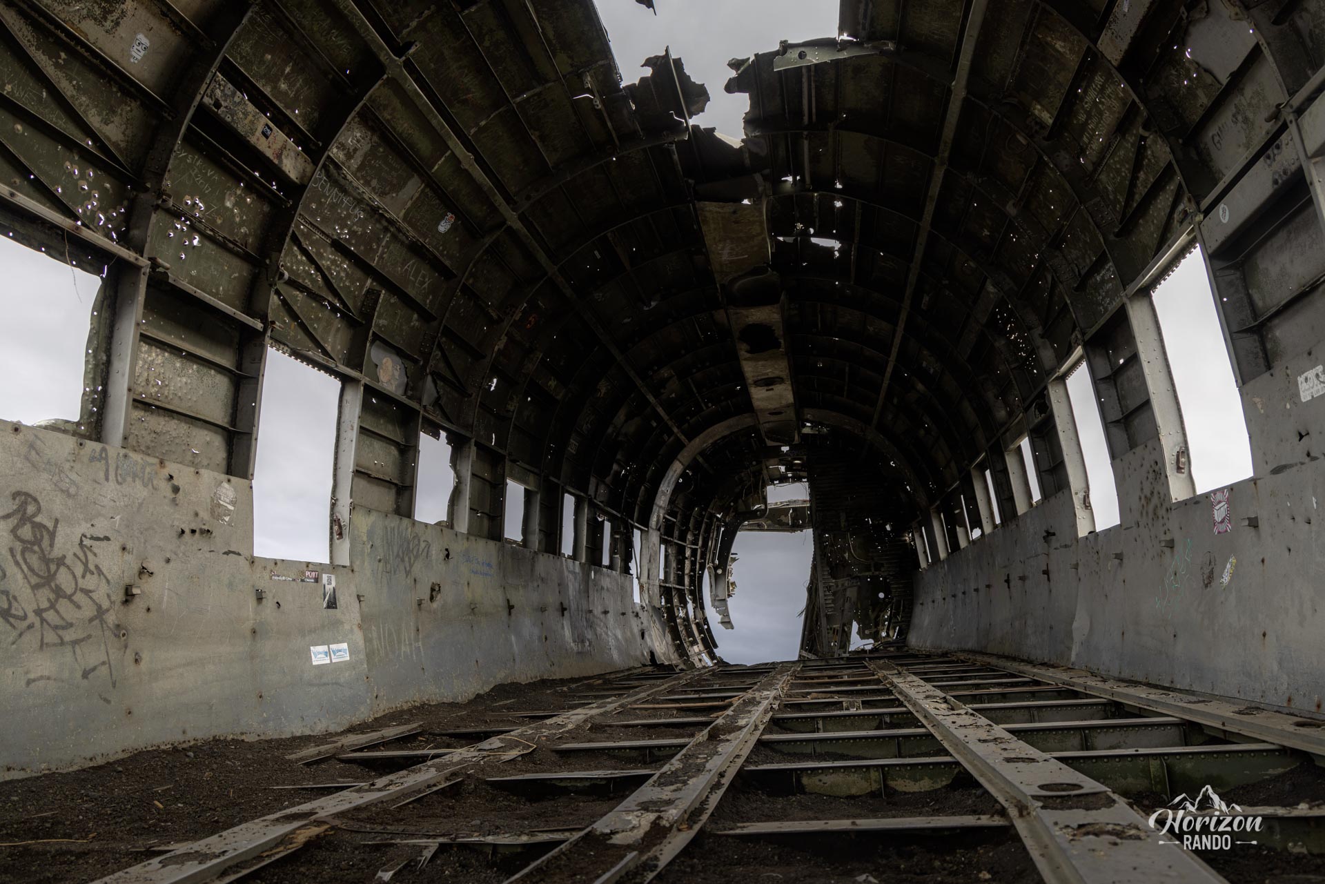
The wreckage of a US military DC-3 aircraft has lain lost on a black sand beach on Iceland's south coast since its crash in 1973. The aircraft encountered severe icing at the time, forcing the crew to make an emergency landing on a frozen river at Sólheimasandur. Fortunately, all seven crew members survived and were rescued by helicopter. The US military then abandoned the aircraft after removing any spare parts. The fuselage remained relatively intact, gradually turning the site into a popular tourist destination.
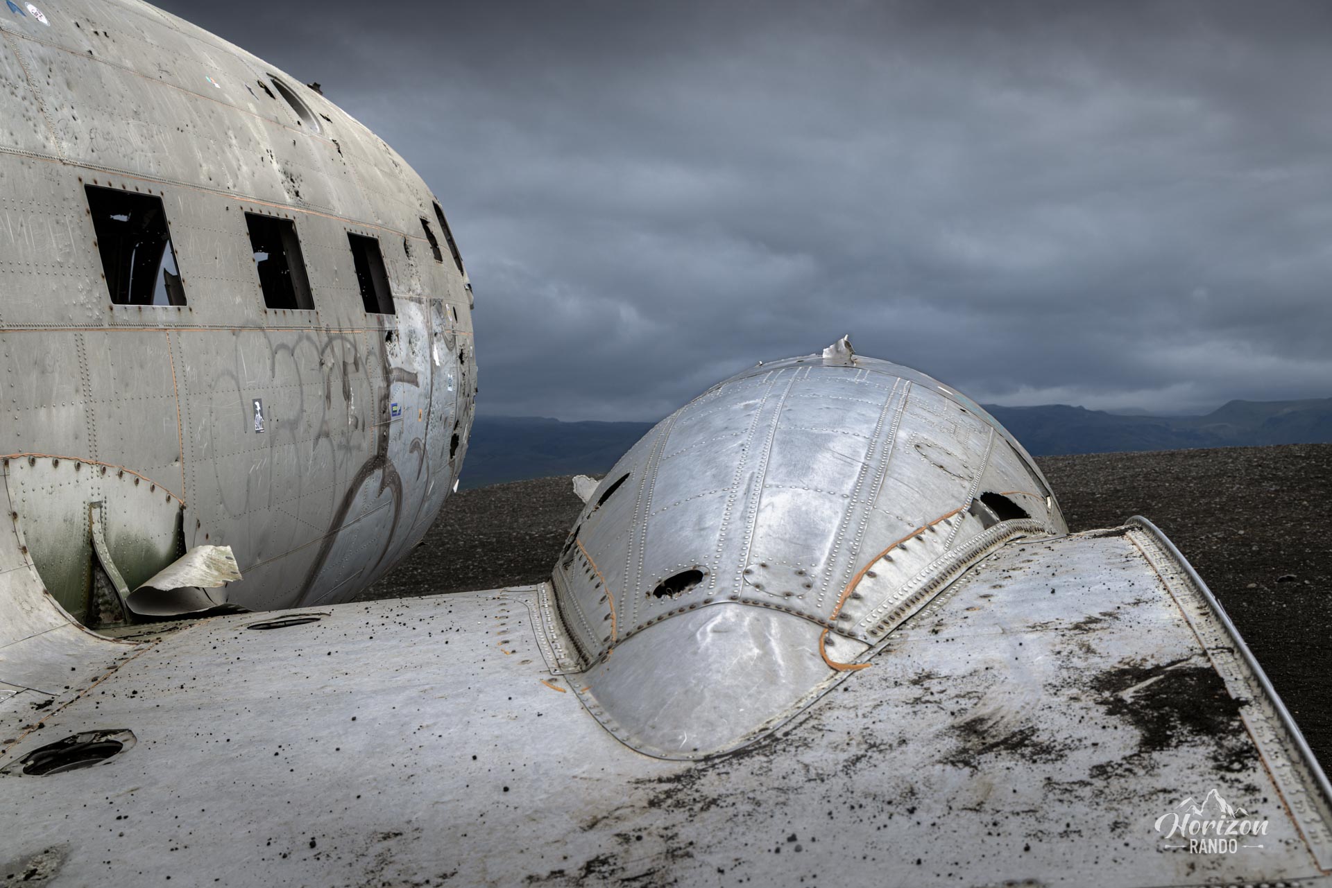
Over the years, the wreckage has suffered superficial damage from graffiti, gunfire, and tourists, as well as the effects of time. To protect this piece of history, it is now illegal to enter the plane or climb on the fuselage.
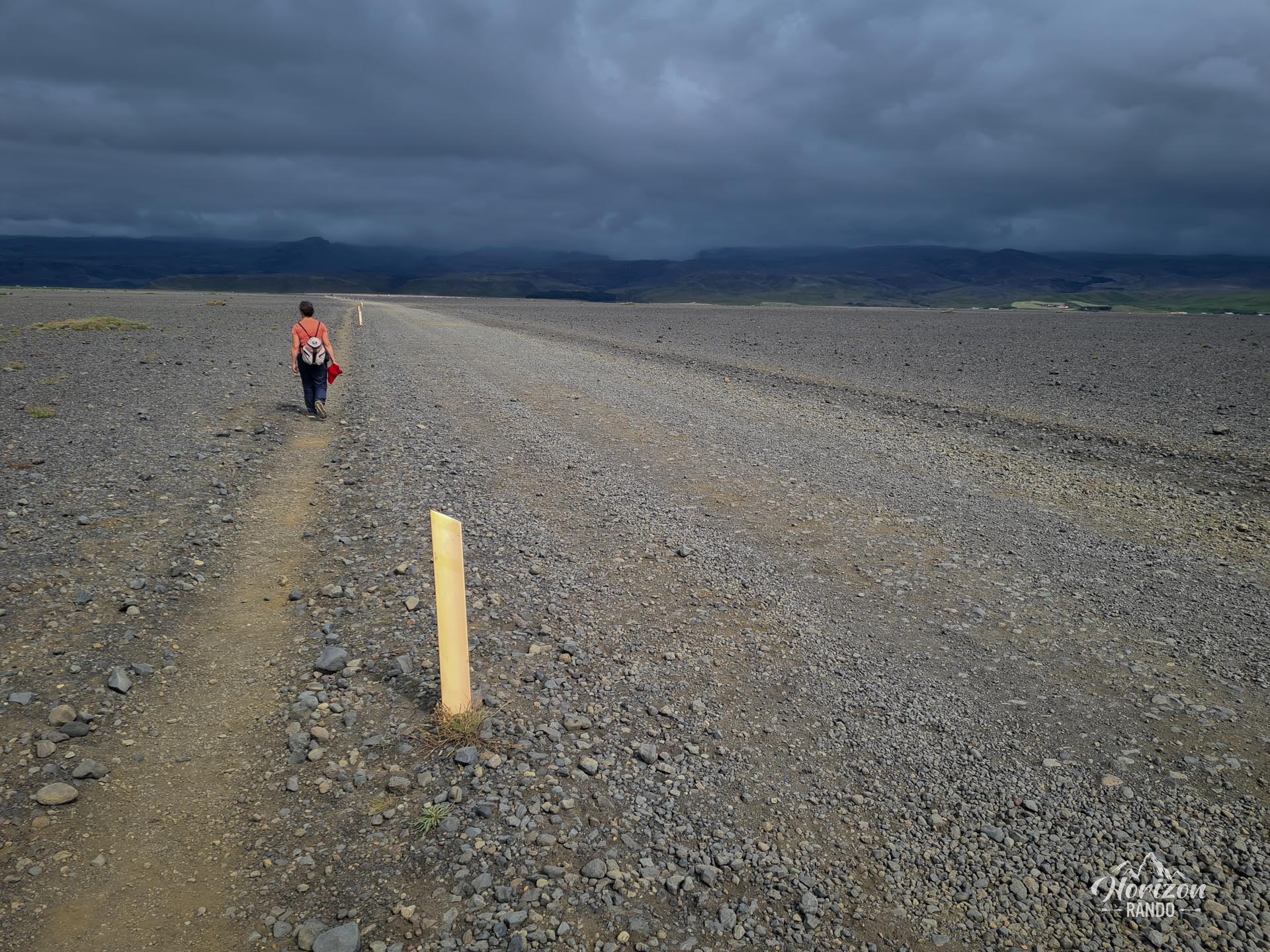
The hike to the wreck is interesting only for the sake of seeing the plane itself. The trail is completely flat and straight, crossing a bleak and desolate landscape, as shown in the last photo.
Map and elevation profile of the hike
Sólheimasandur Plane Wreck Hike
Difficulties of the hike
The hike to the wreck presents absolutely no technical difficulty. The trail is perfectly flat with no elevation gain and follows a straight line for about seven kilometers round trip. The route crosses a vast expanse of gravel and black volcanic sand marked by yellow posts.
What you'll love
- The impressive and photogenic wreck itself, set in a fascinating post-apocalyptic landscape of black sand stretching as far as the eye can see.
Practical information
Parking
Paid parking is available at Sólheimasandur along Route 1 (Ring Road), about 8 km east of Skógar and the famous Skógafoss waterfall. Indicative price in 2025: ISK 750 (about €5) per vehicle.
Shuttle
A paid shuttle runs daily from 10:00 a.m. to 5:00 p.m. between the parking lot and the wreck (about a 15-minute ride).
Photos
More hikes to do in Iceland
Nearby hikes

Printed from www.horizonrando.fr/en/iceland/dc-3-plane-wreck/