





Bavella needles Hike
Key facts about the hike
- Difficulty
- Hard Hikes are rated from very easy to very hard: my difficulty scale
- Duration
- 5h30 Estimated time, short breaks included (photos, water, snacks), picnic not included: how it is calculated
- Distance
- 11.4km
- Elevation gain
- 890m
- Type of route
- Loop
- Maximum altitude
- 1,687 m
- Vertiginous Five levels, depending on how exposed the route is: the levels in detail
- Moderately
- Marked
- Yes
- Popularity
- Moderate
- Region
- South-East
- Start point
- 41.79575, 9.22486
- Activity
- Hiking
Hike overview
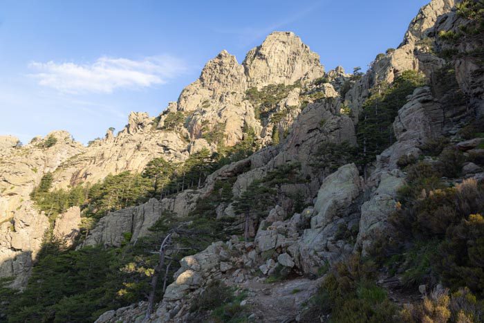
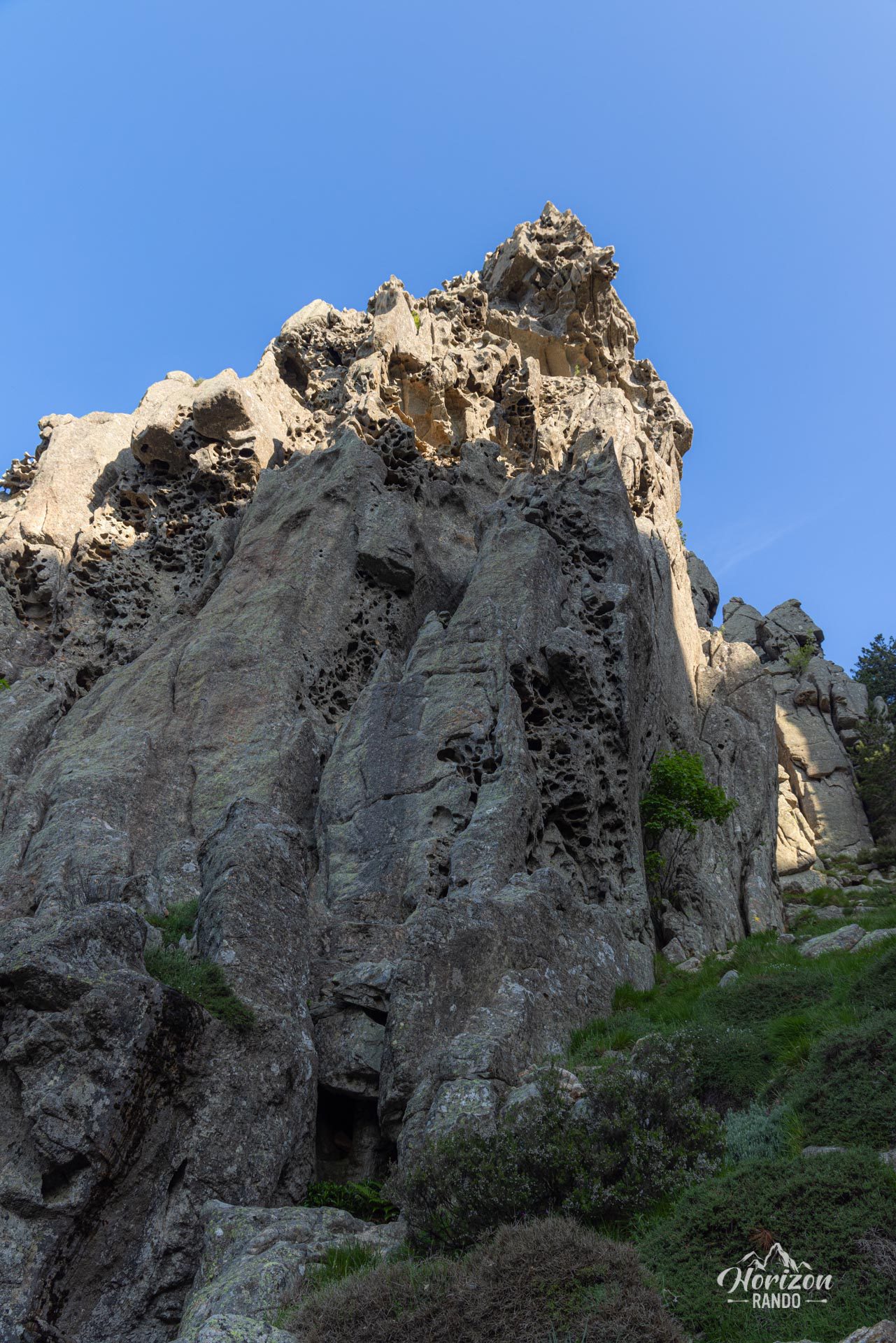
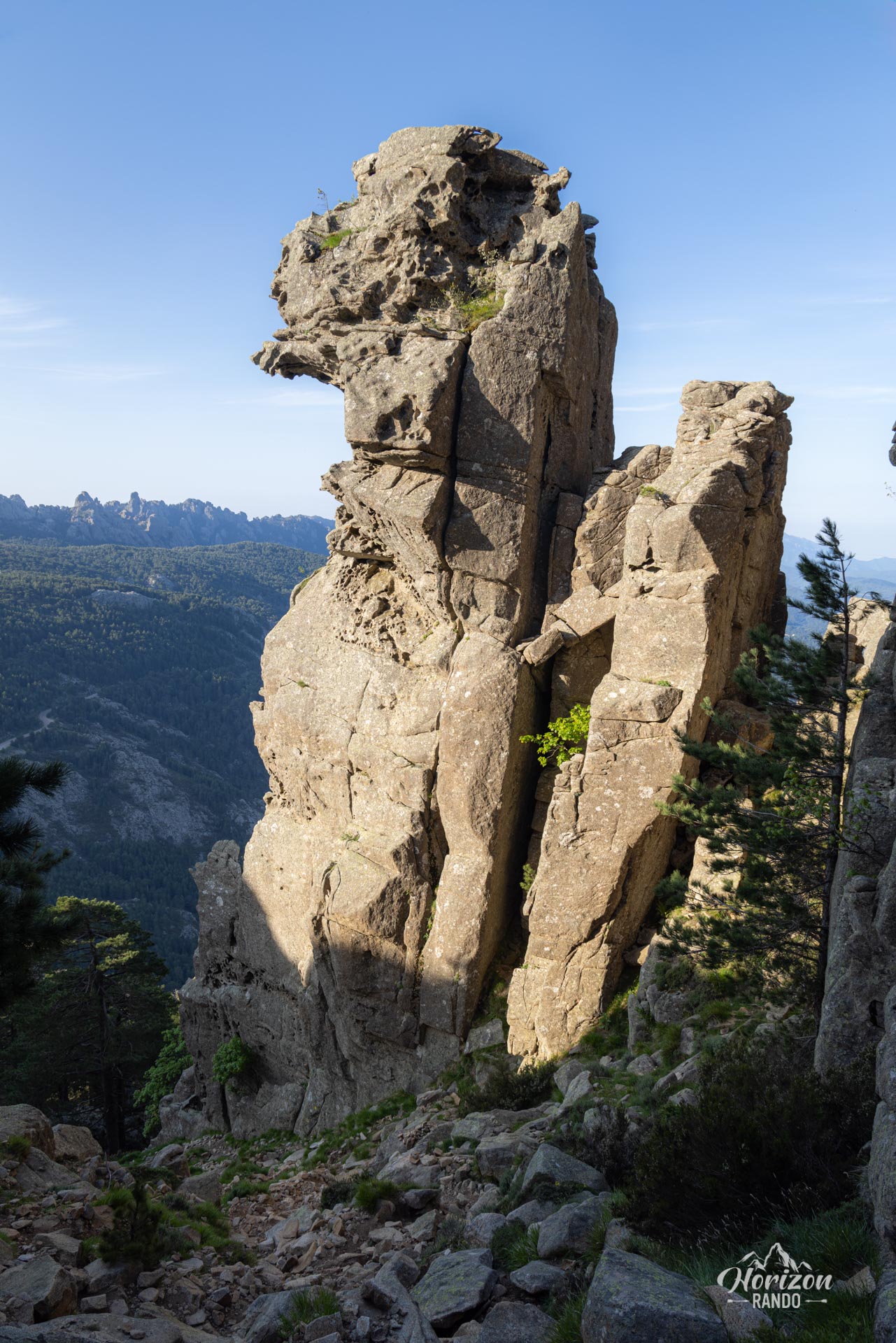
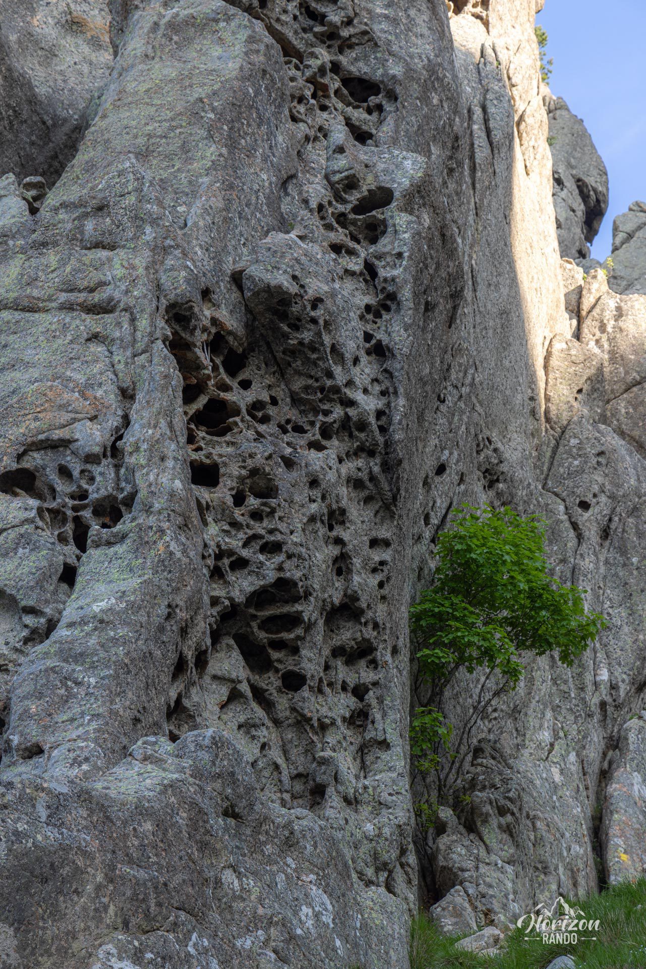
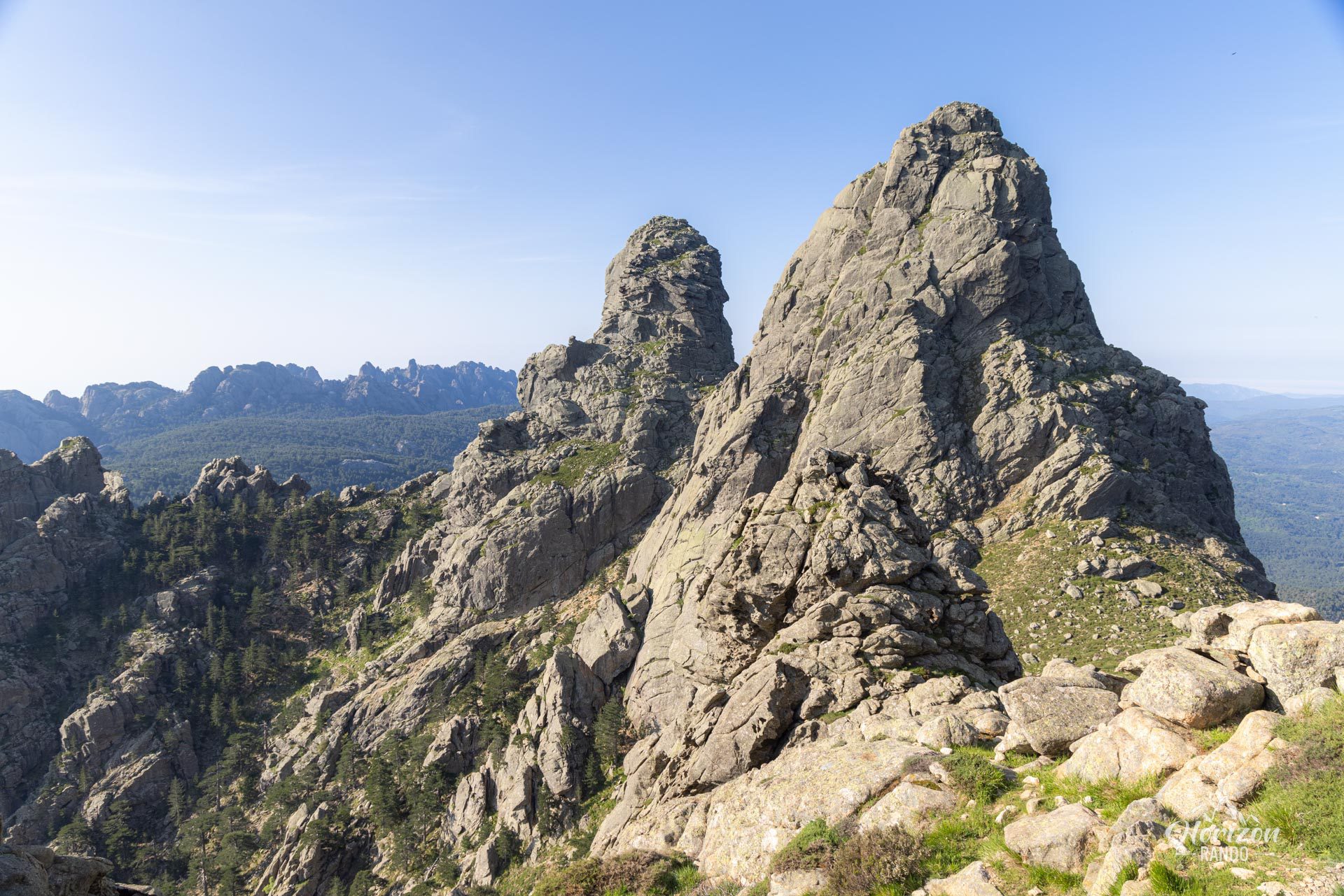
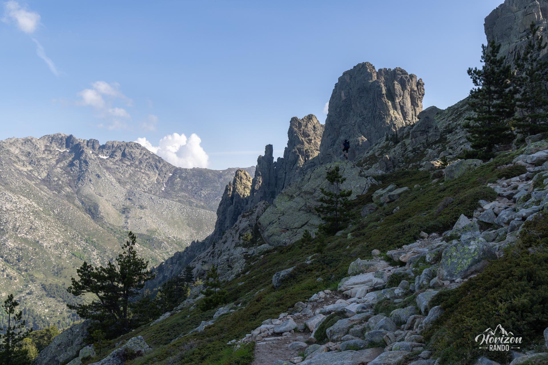
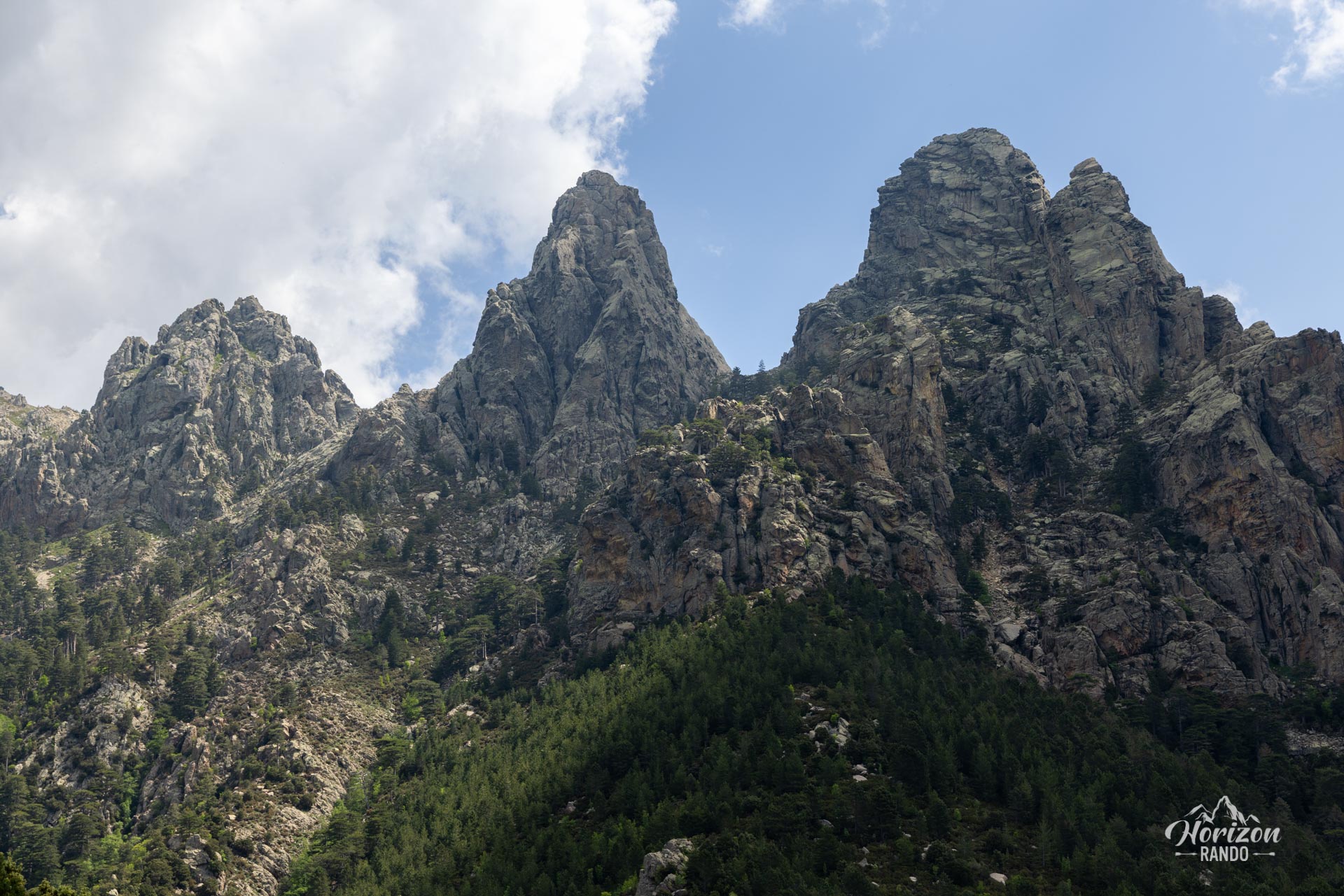
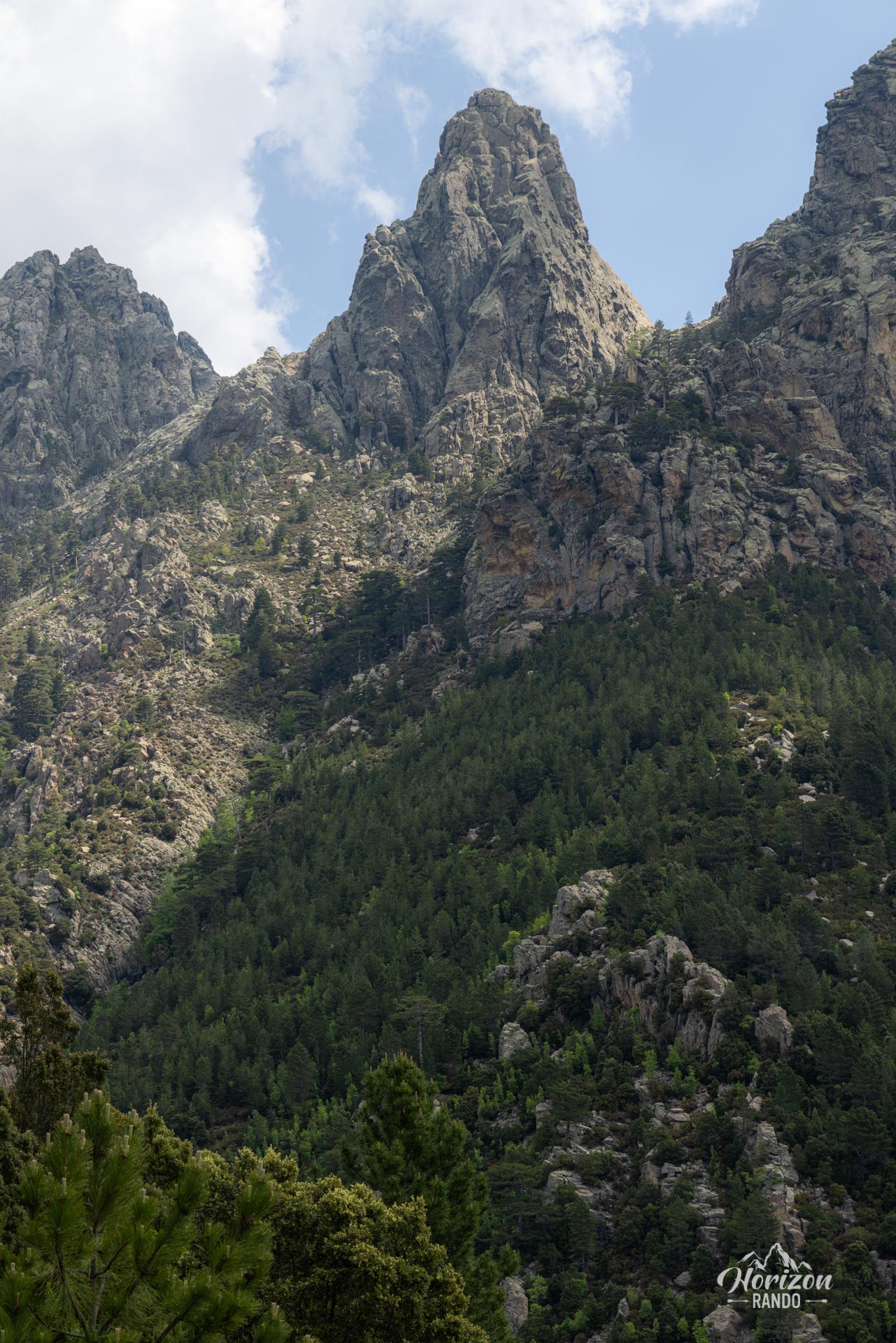
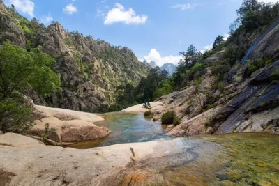
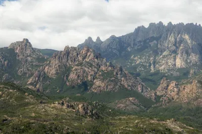
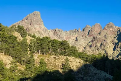
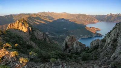
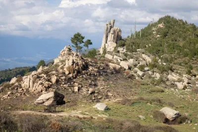
The Bavella needles hike takes you to the heart of one of Corsica's most iconic mountain ranges, which is famous for its spectacular red granite pinnacles. Starting at Bavella Pass, widely considered the most beautiful on the island, the loop trail first follows the alpine variant of the GR20 before descending via the classic route.
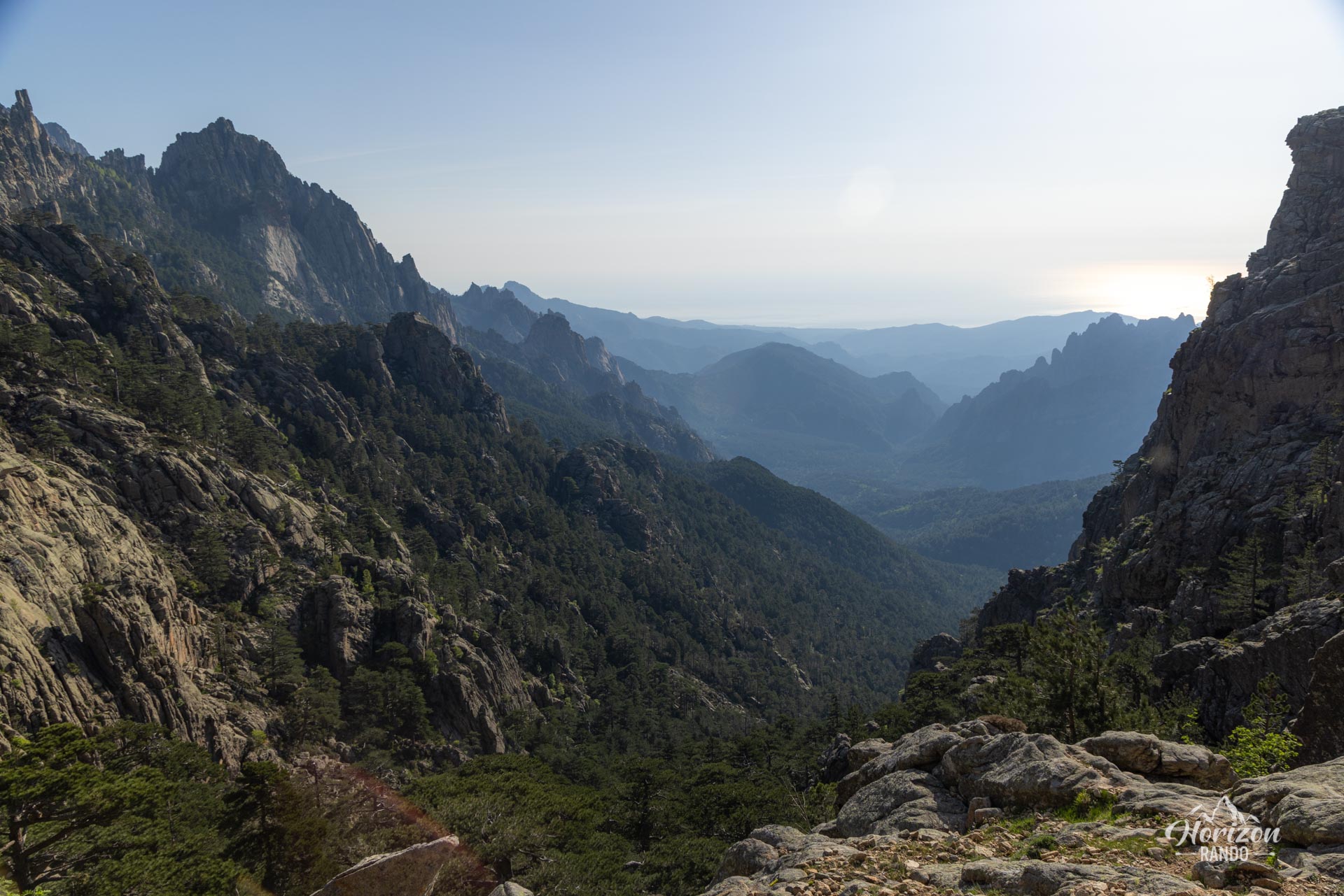
This challenging yet unforgettable hike is one of the must-dos in southern Corsica. It reveals remarkable panoramas and makes you feel small in the presence of the majestic peaks that dominate the Alta Rocca region.
Map and elevation profile of the hike
Bavella needles Hike
Description and difficulties of the hike
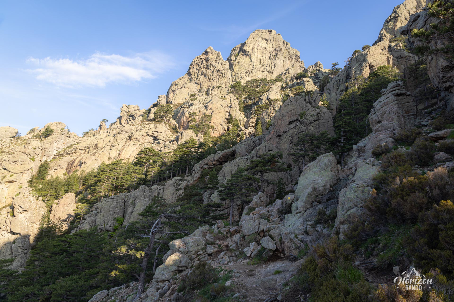
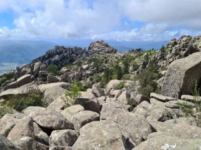
The Bavella needles circuit is physically demanding, with nearly 900 meters of elevation gain on rugged terrain. The ascent via the alpine variant is steep and rocky, and sometimes requires the use of your hands to navigate the most precipitous sections.
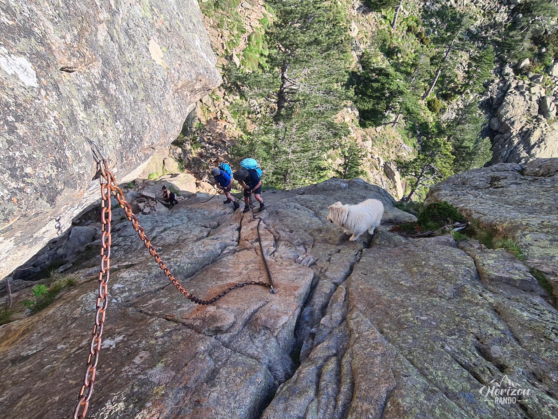
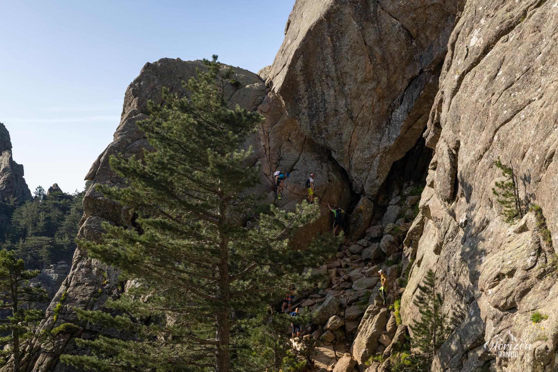
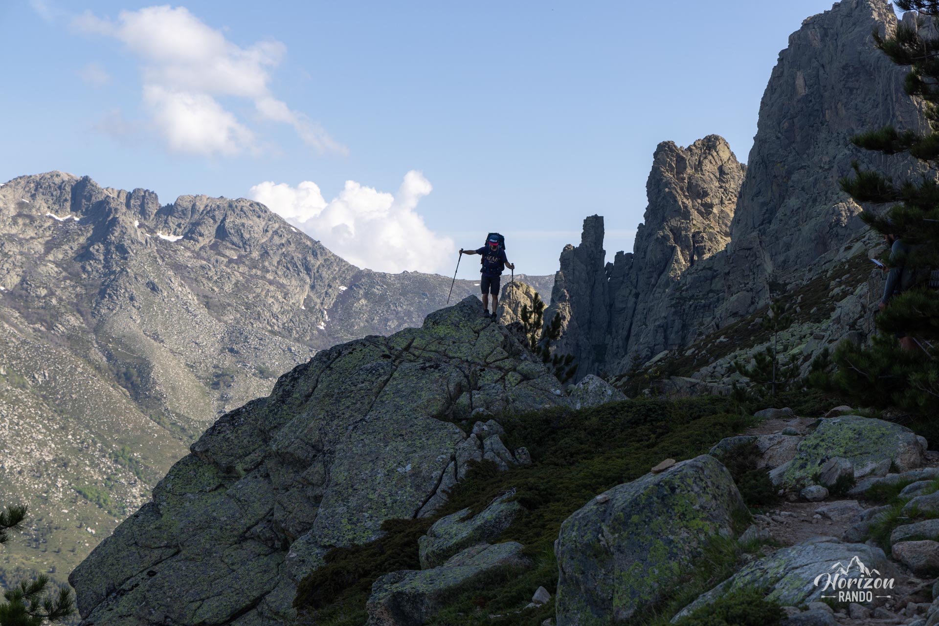
The main technical difficulty is an exposed descent of about ten meters equipped with chains that must be climbed down. Although this passage may look impressive in photos, it should not pose a major problem unless you are prone to vertigo.
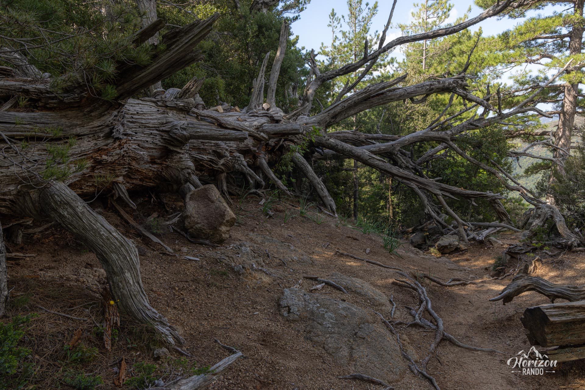
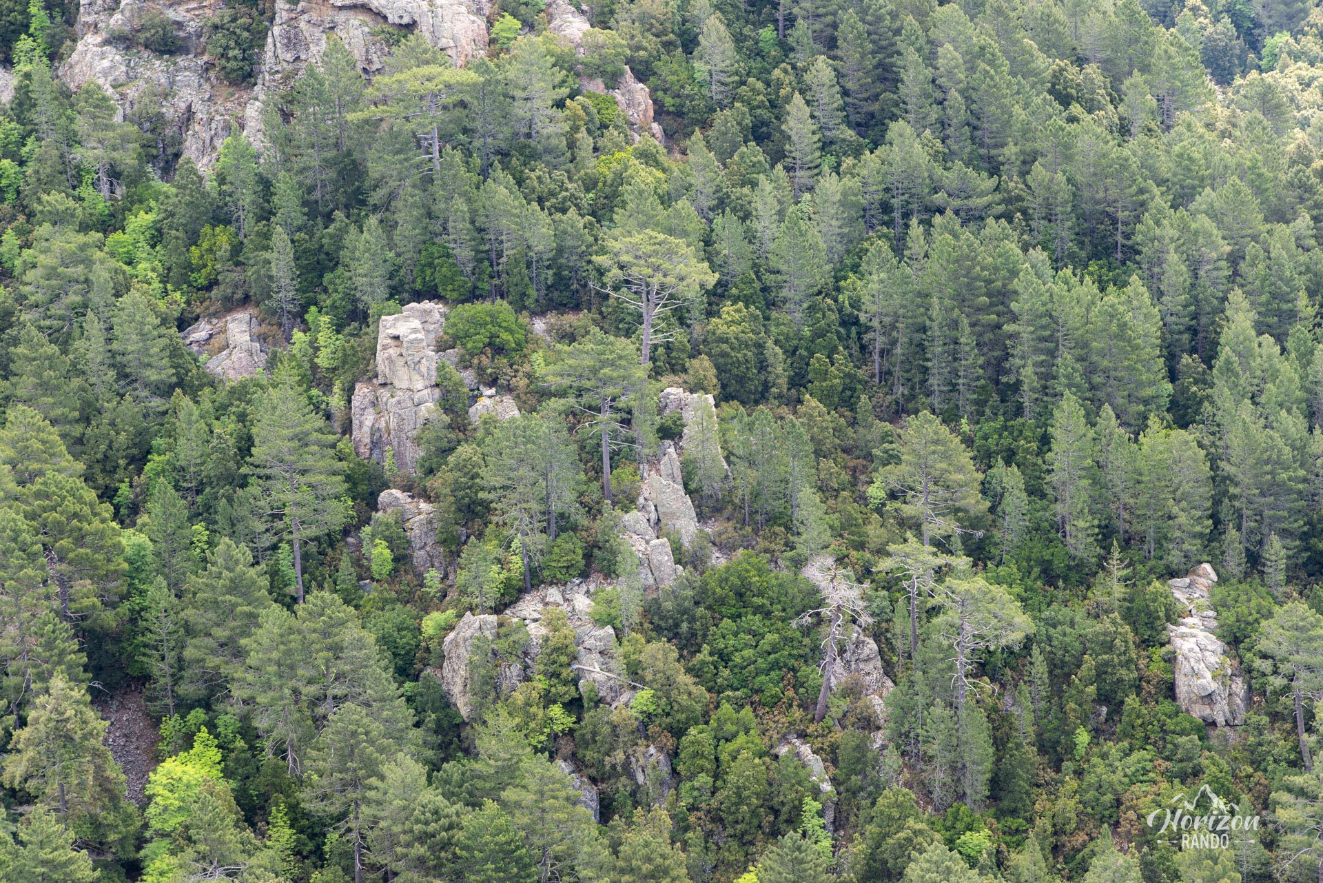
The trail is well marked throughout: yellow for the alpine route and red and white for the GR20 during the descent. Though less spectacular, the latter route is easier technically and passes through a beautiful pine forest, offering stunning views of the other side of the massif.
What you'll love
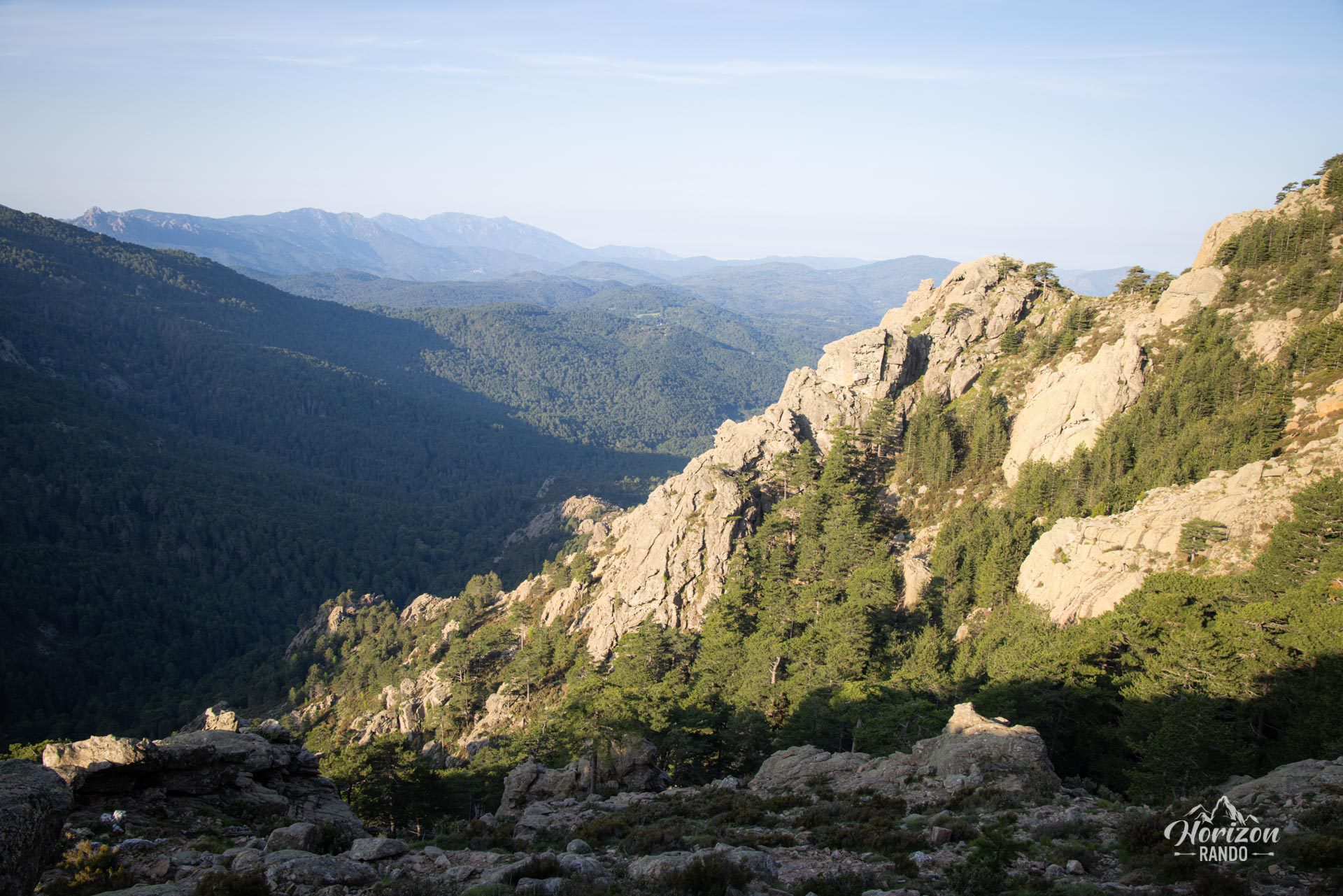
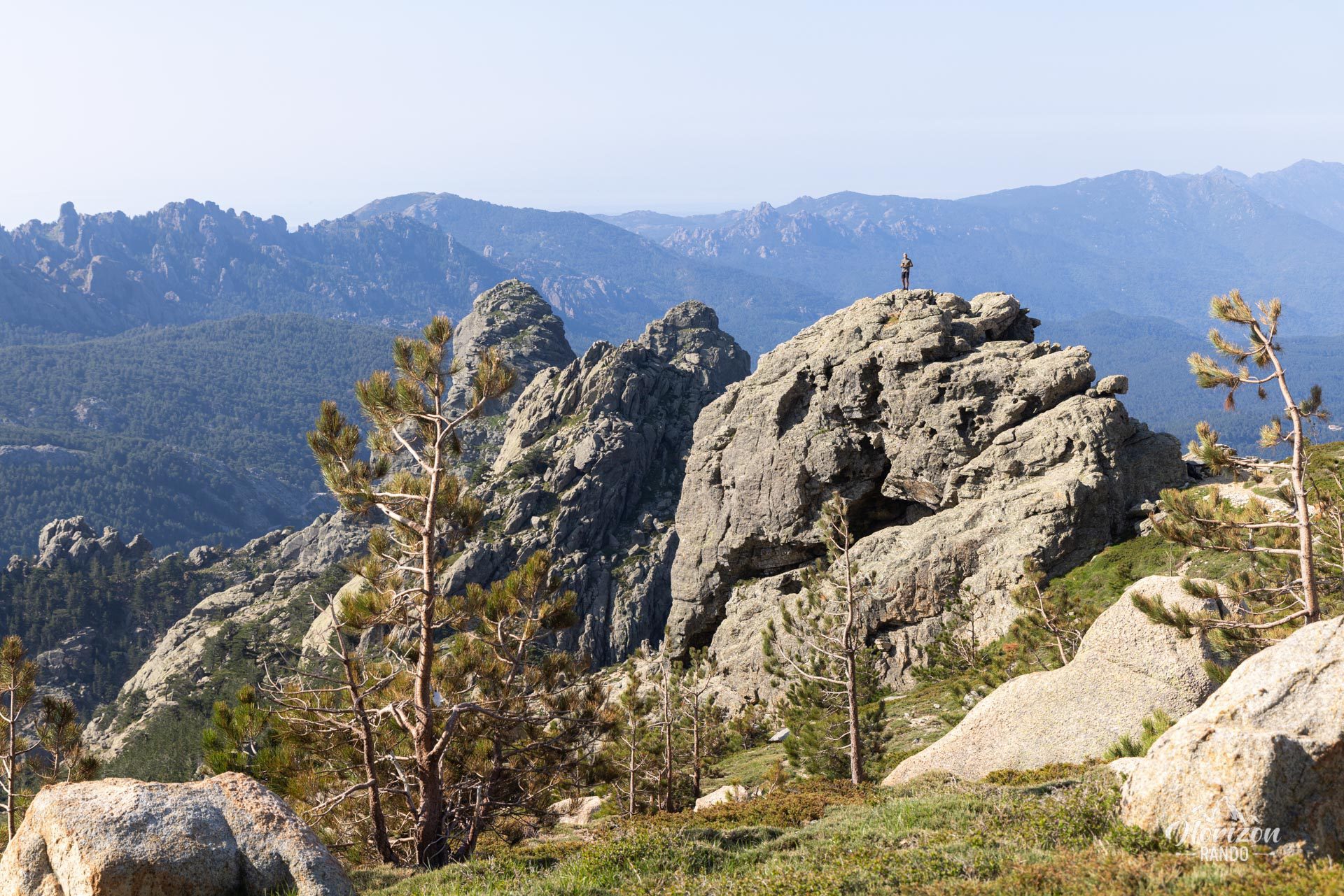
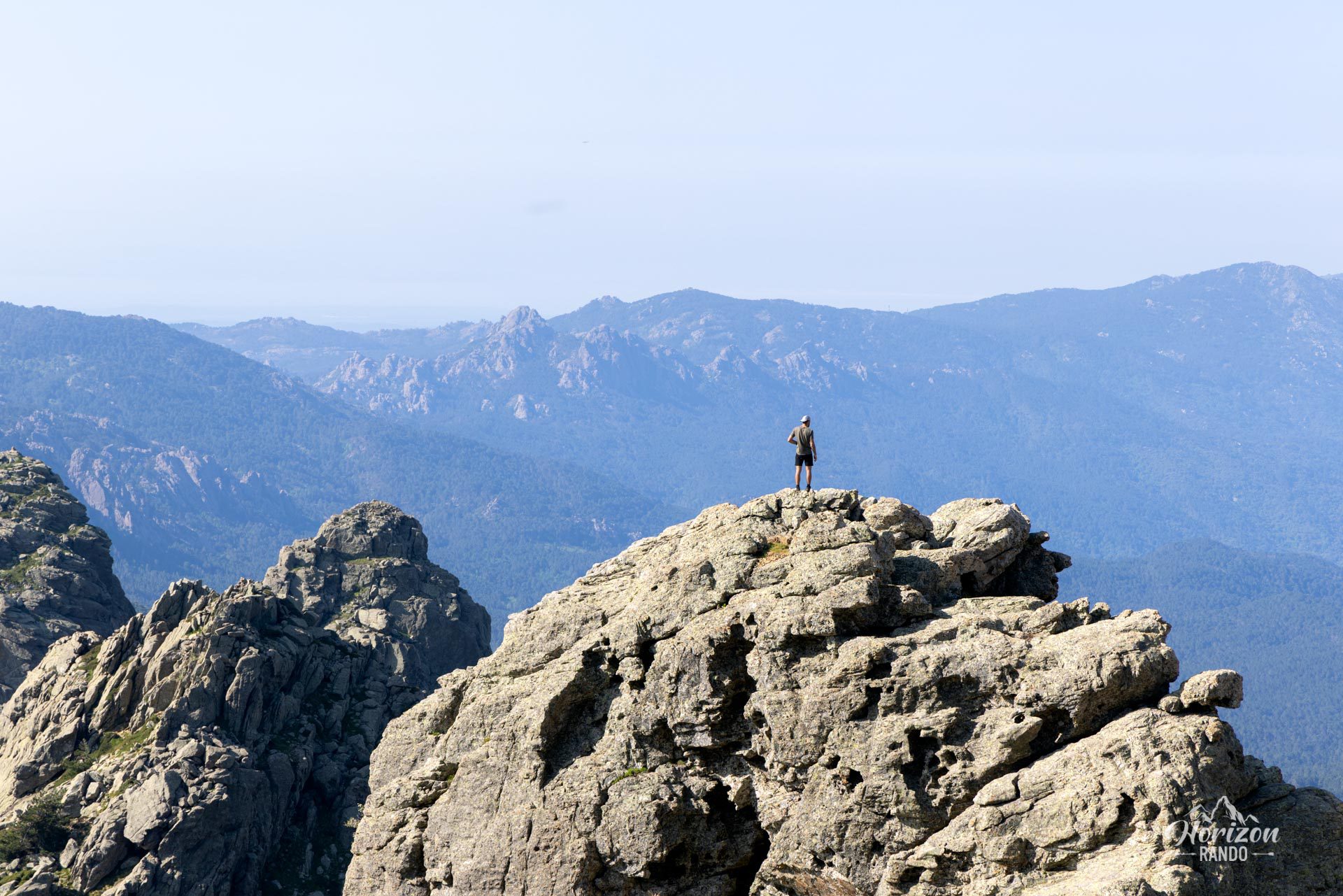
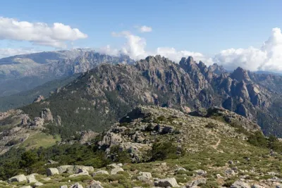
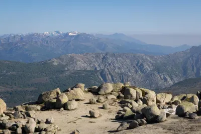
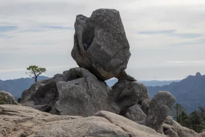
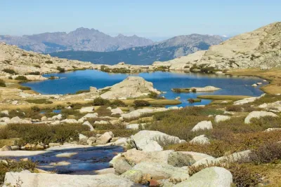
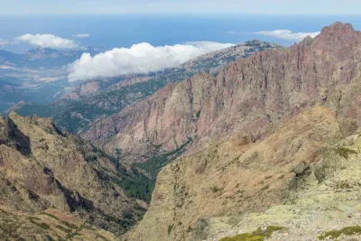
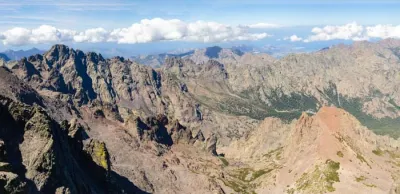
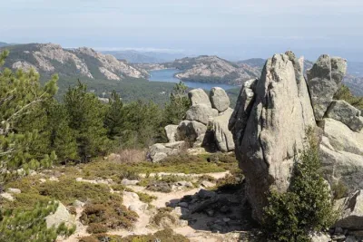
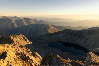
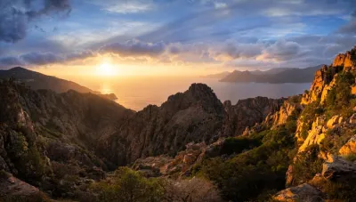
- Magnificent and impressive views throughout the route: The unique perspective of the seven red granite towers of the Aiguilles de Bavella, the Zonza Valley, and the entire Alta Rocca Massif as far as the east coast.
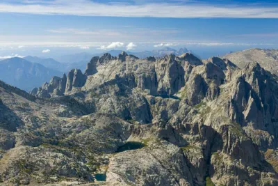
- The immersive experience of crossing through the heart of the peaks via the alpine variant, which offers spectacular views of these iconic geological formations.
Practical information
Parking
There is parking at the Bavella Pass (1,218 m above sea level). There are several lots, some free and some paid, which can fill up quickly in the summer.
Technical difficulty
Though often described as very difficult and technical, this hike is not as daunting as it seems. The main difficulty lies in a descent for which chains have been installed. As long as you are not afraid of heights and the terrain is not too wet, you should not encounter any major difficulties.
Photos
See all 19 photos →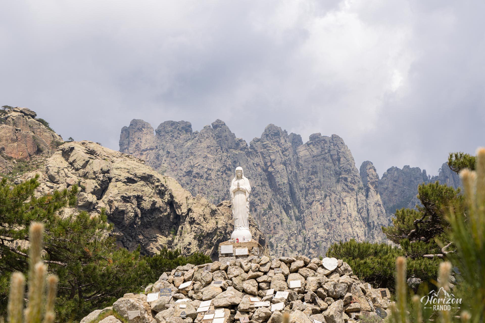
More hikes to do in Corsica
Nearby hikes
Printed from www.horizonrando.fr/en/corsica/aiguilles-de-bavella/