





Trou de la Bombe Hike
Key facts about the hike
- Difficulty
- Easy Hikes are rated from very easy to very hard: my difficulty scale
- Duration
- 2h30 Estimated time, short breaks included (photos, water, snacks), picnic not included: how it is calculated
- Distance
- 6.2km
- Elevation gain
- 260m
- Type of route
- Loop
- Maximum altitude
- 1,325 m
- Vertiginous Five levels, depending on how exposed the route is: the levels in detail
- Slightly
- Marked
- Yes
- Popularity
- High
- Region
- South-East
- Start point
- 41.79575, 9.22486
- Activity
- Hiking
Hike overview
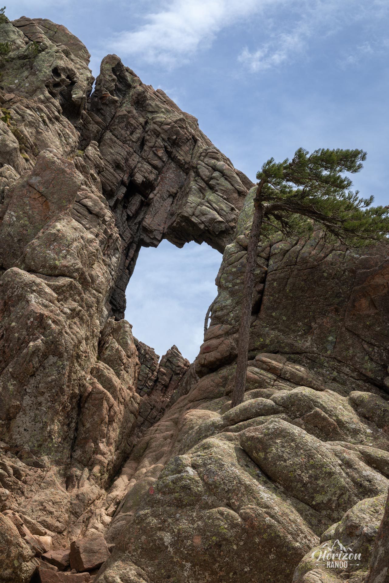
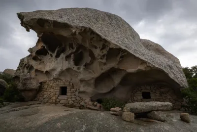
The Trou de la Bombe hike leads to one of southern Corsica's most spectacular geological curiosities: an 8-meter-wide natural hole carved into a rock face by erosion.
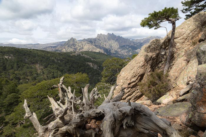
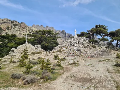
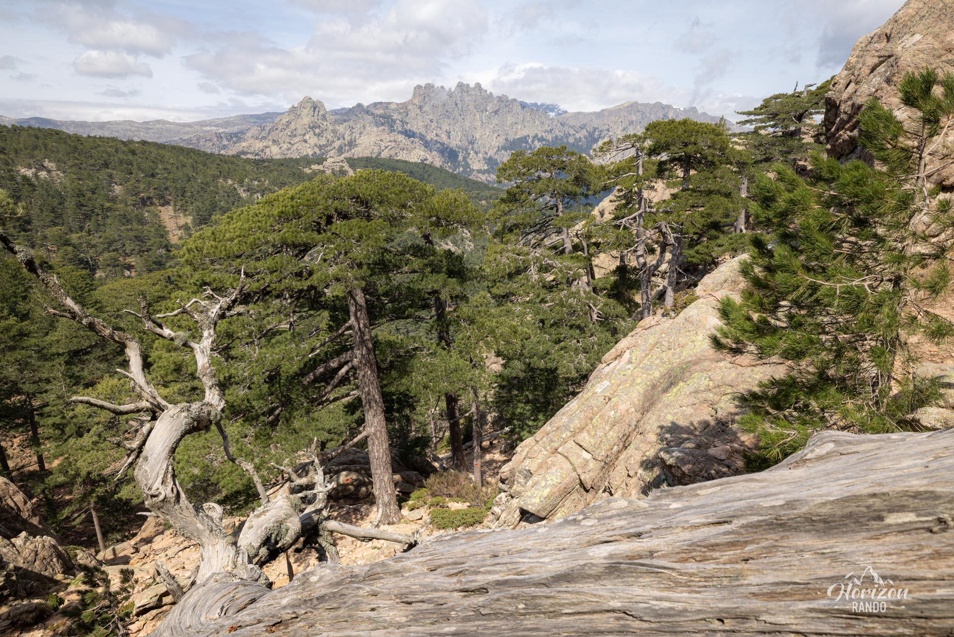
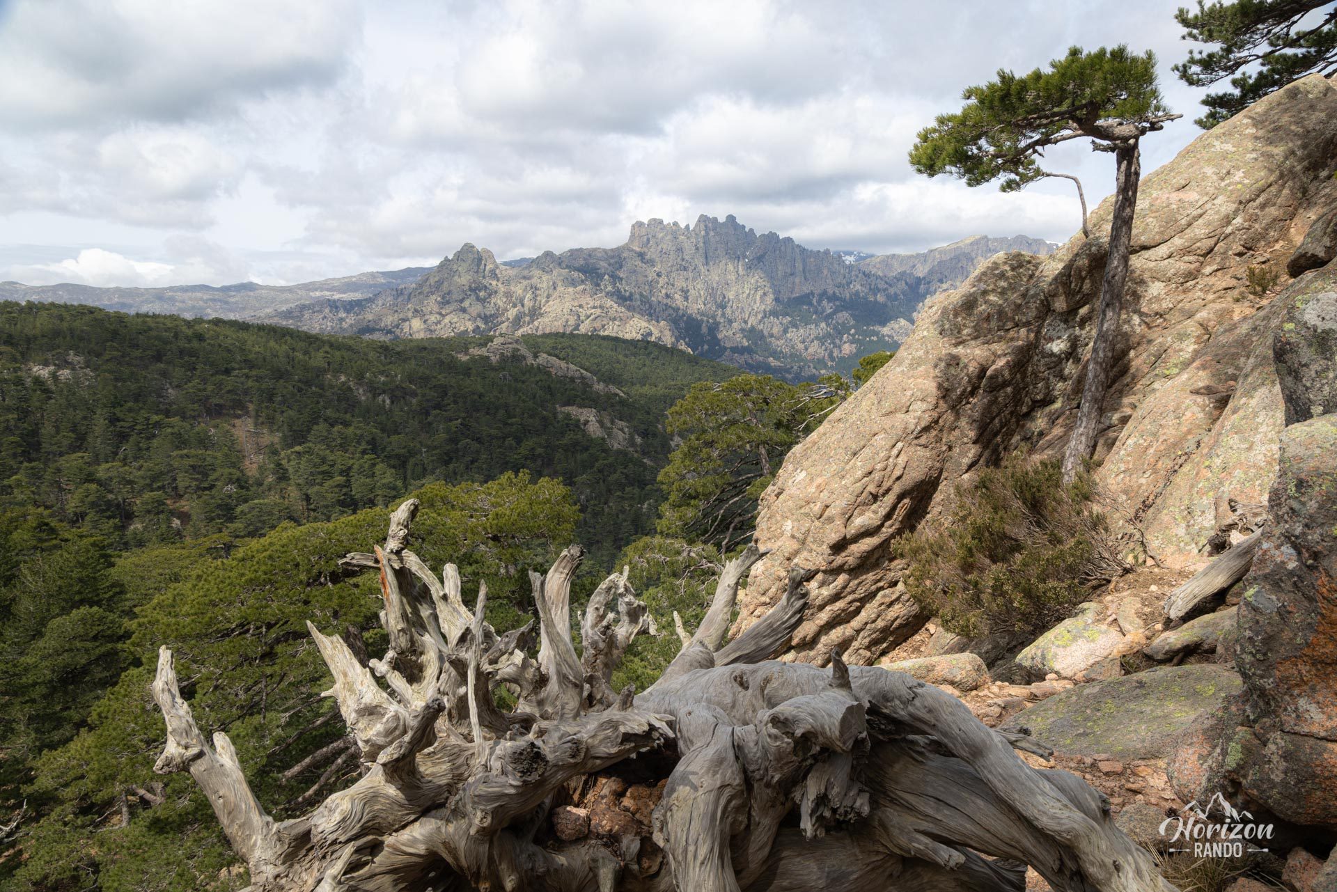
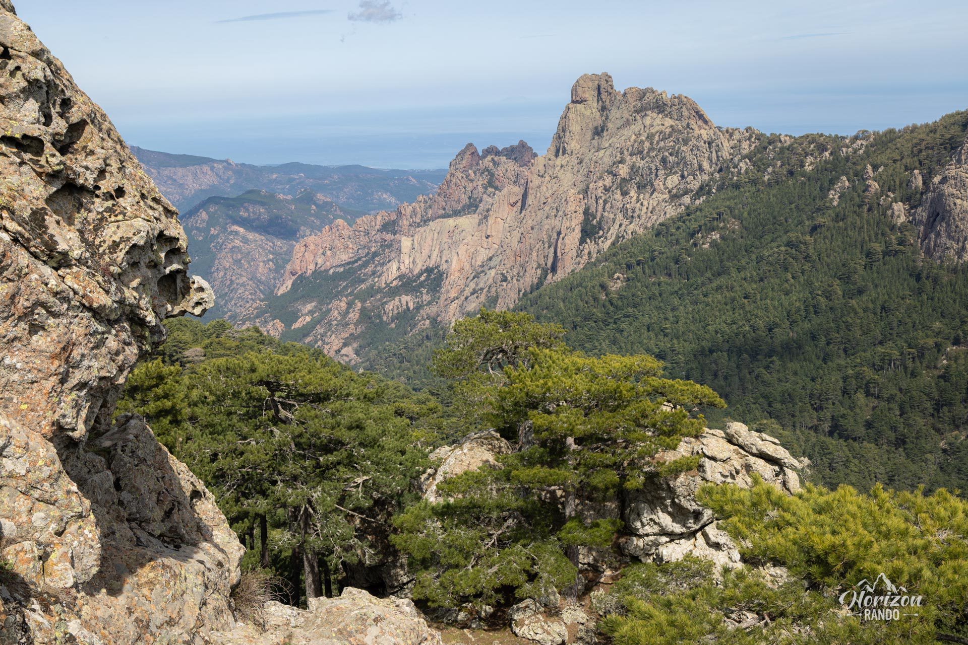
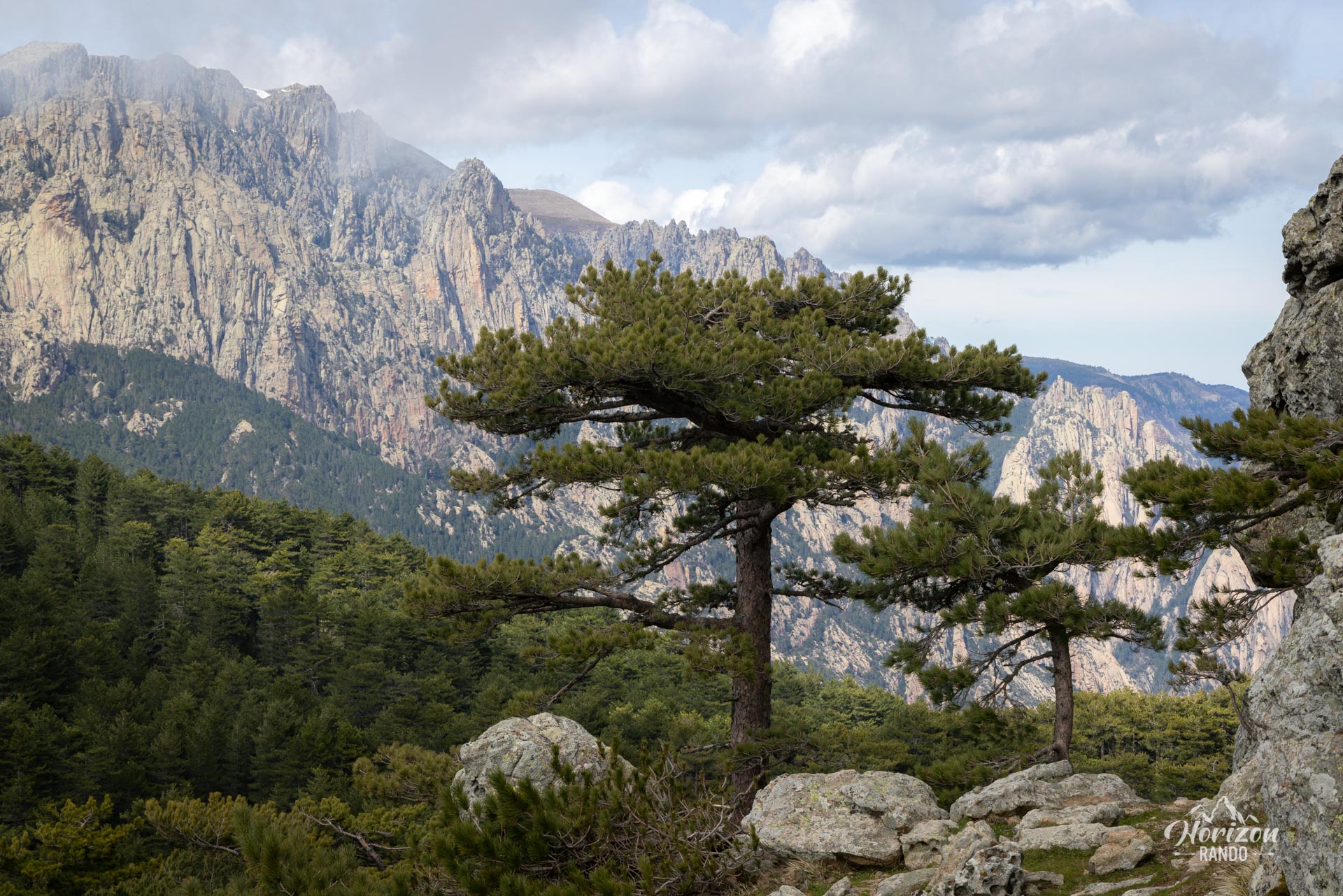
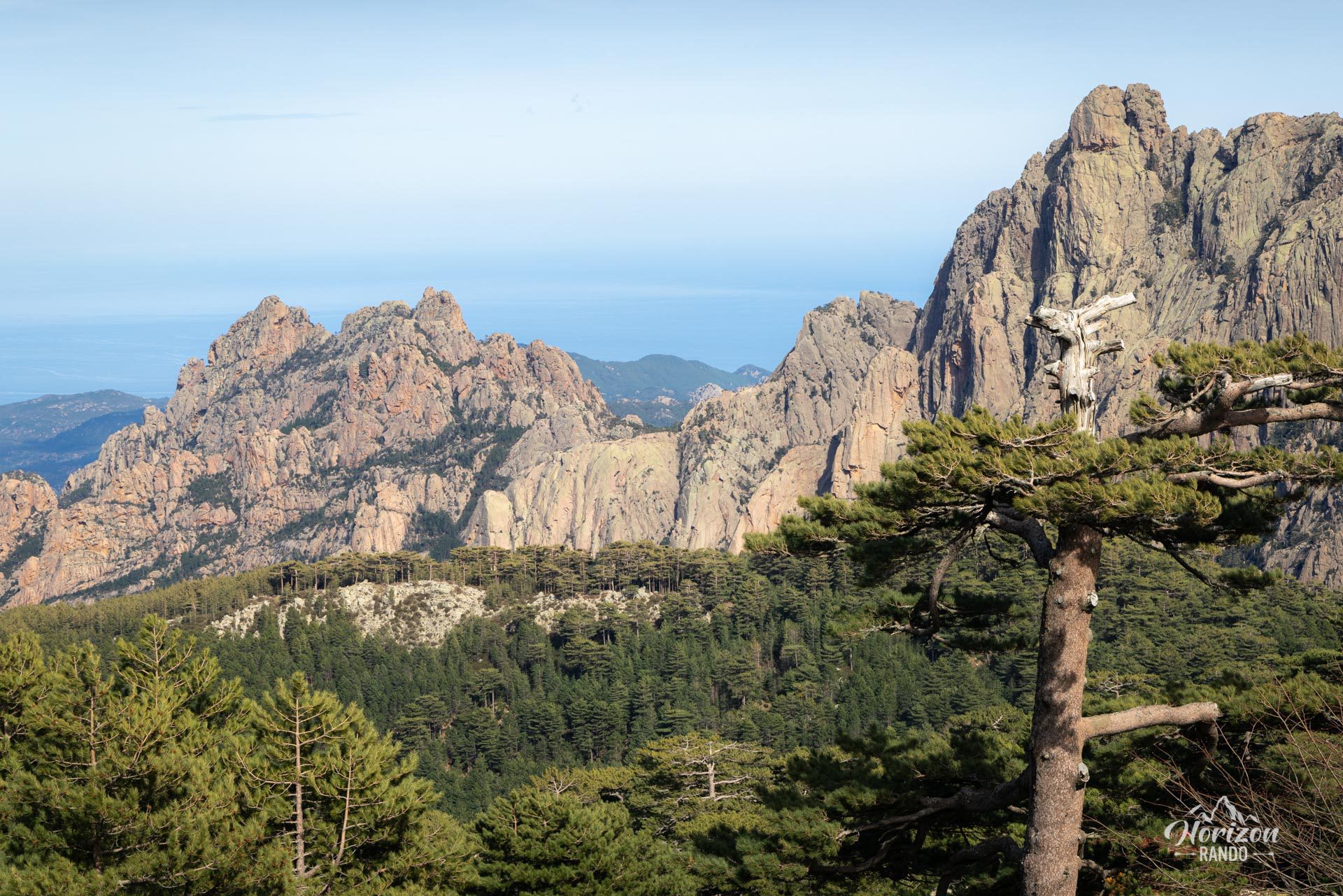
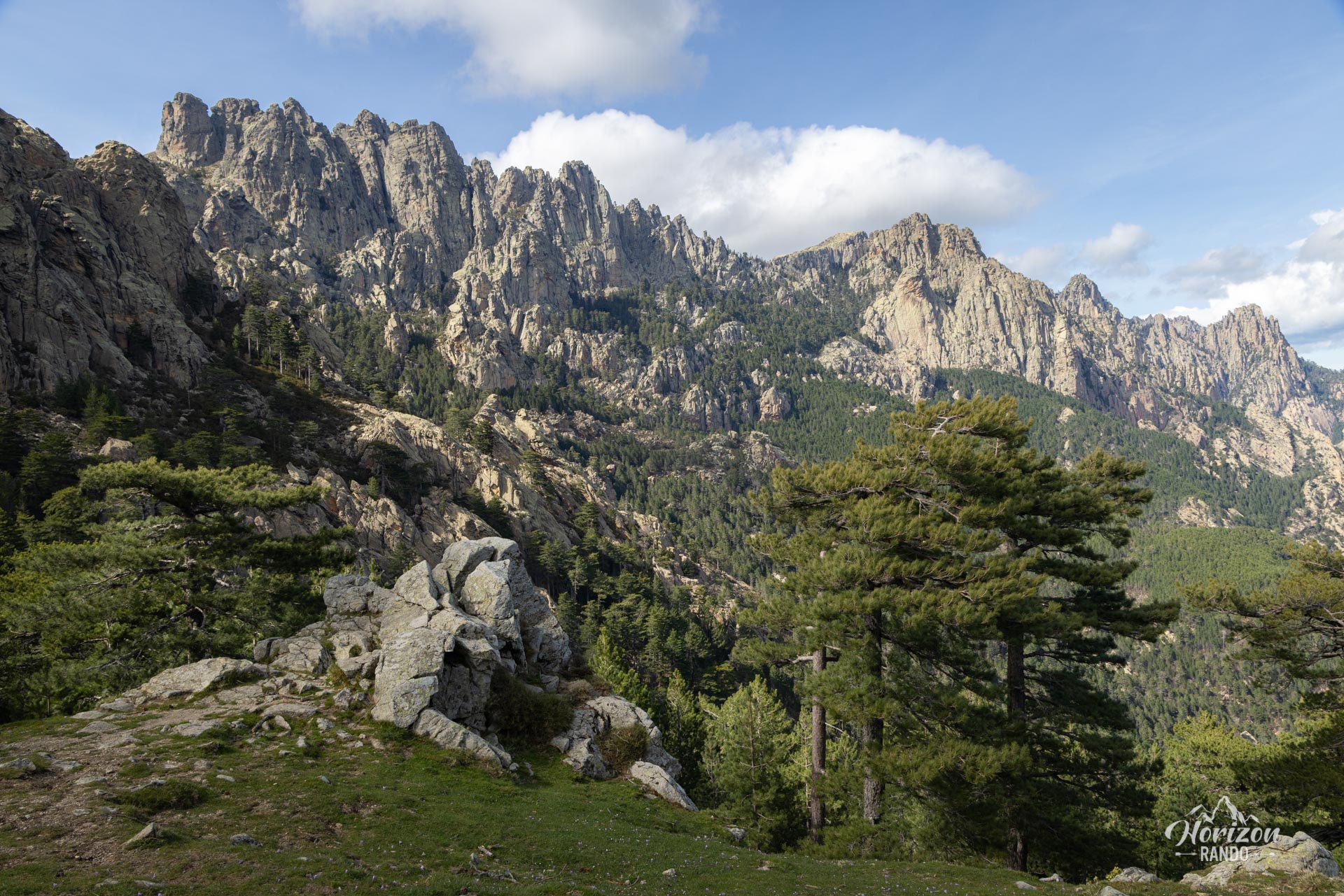
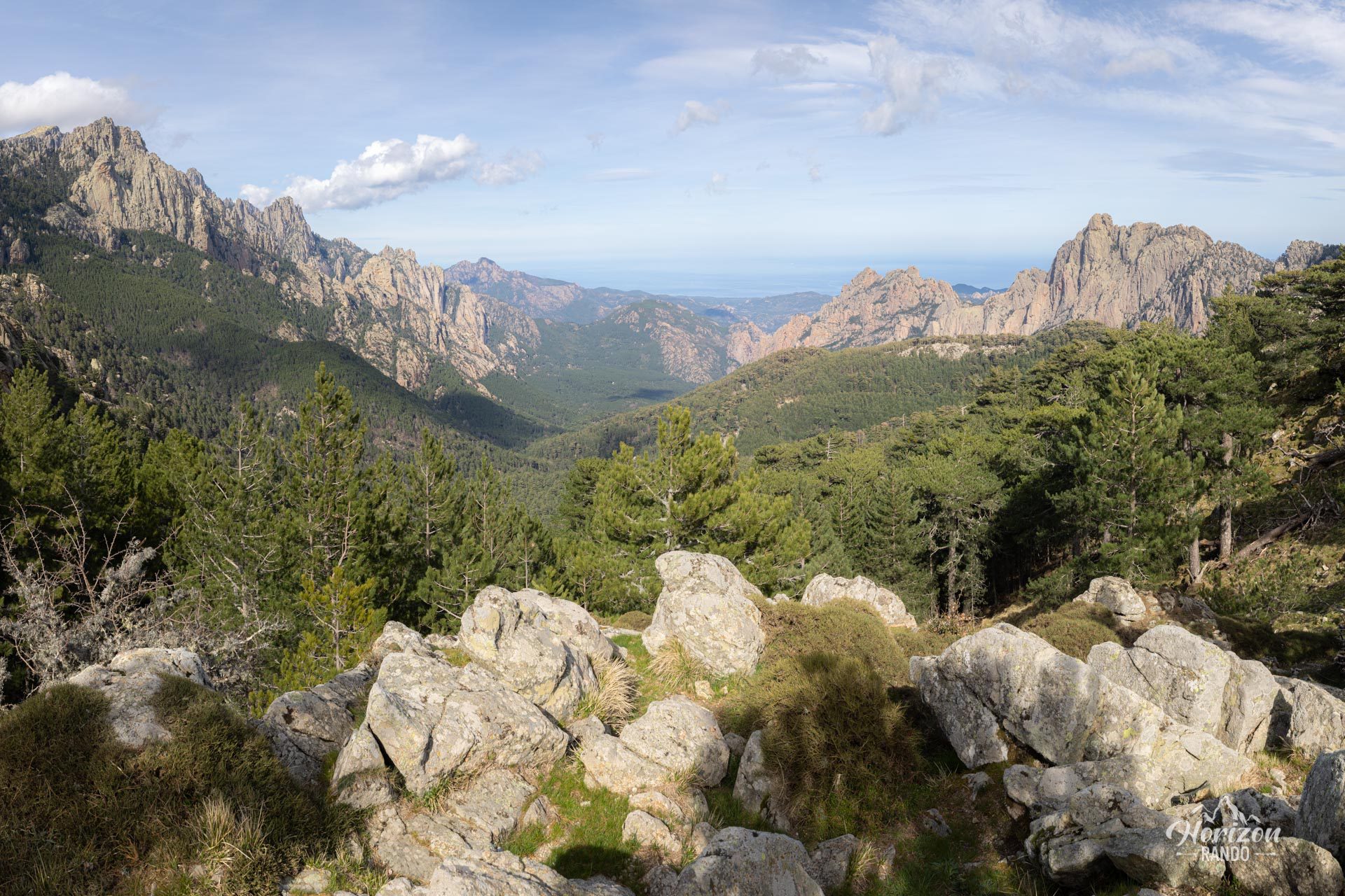
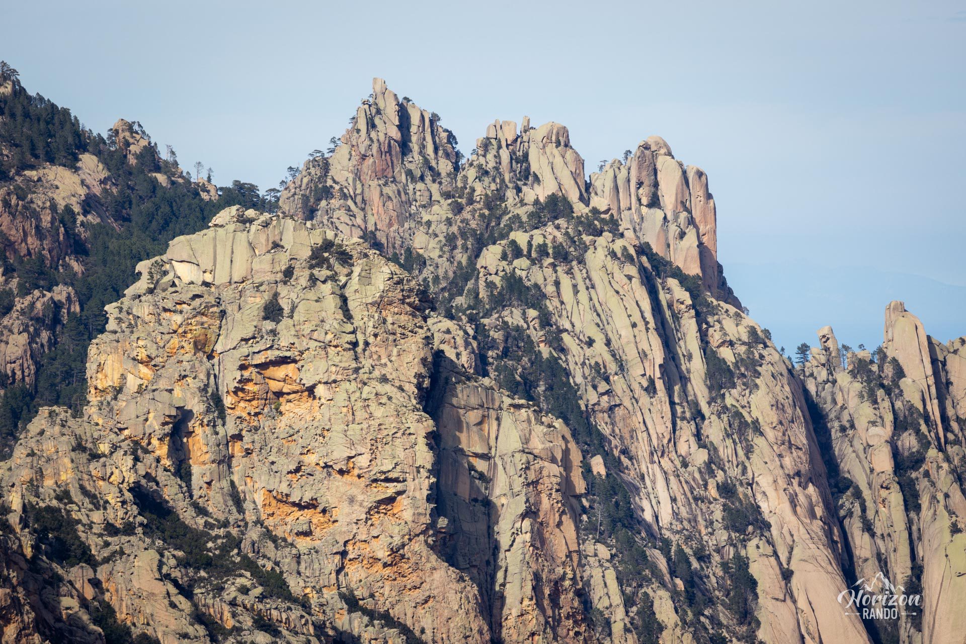
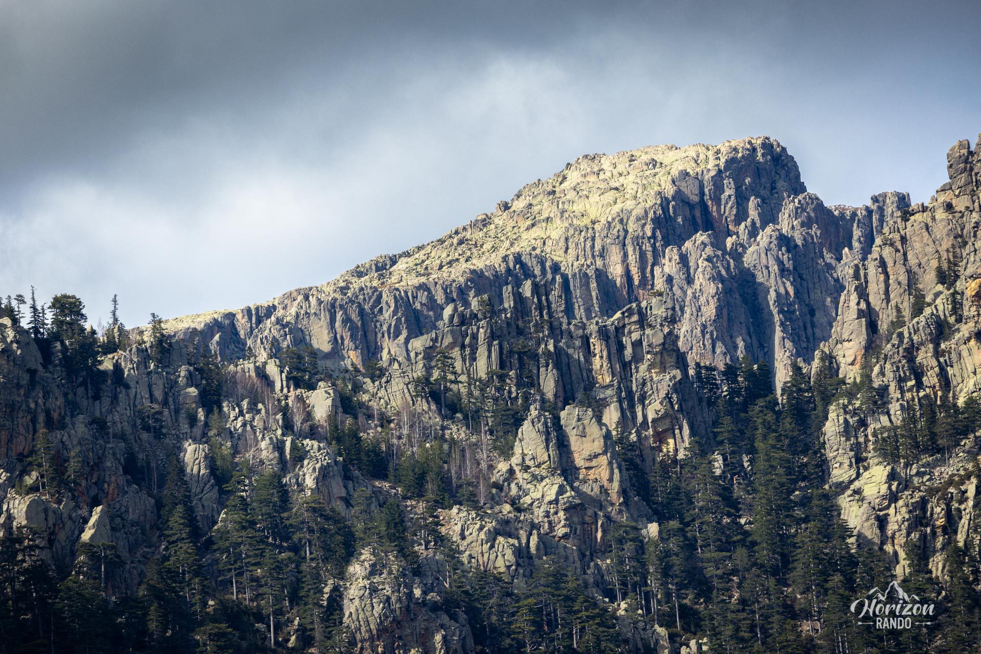
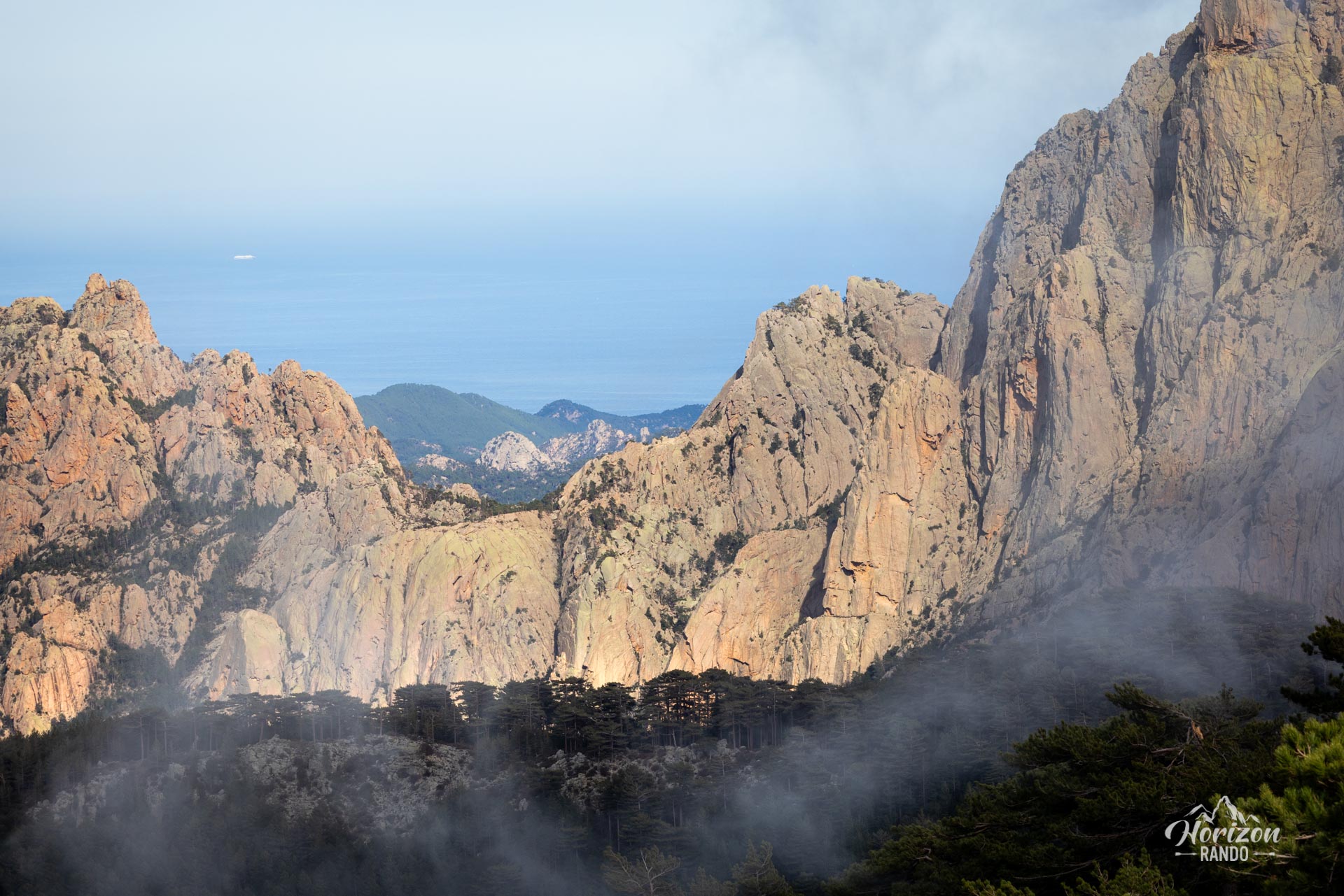
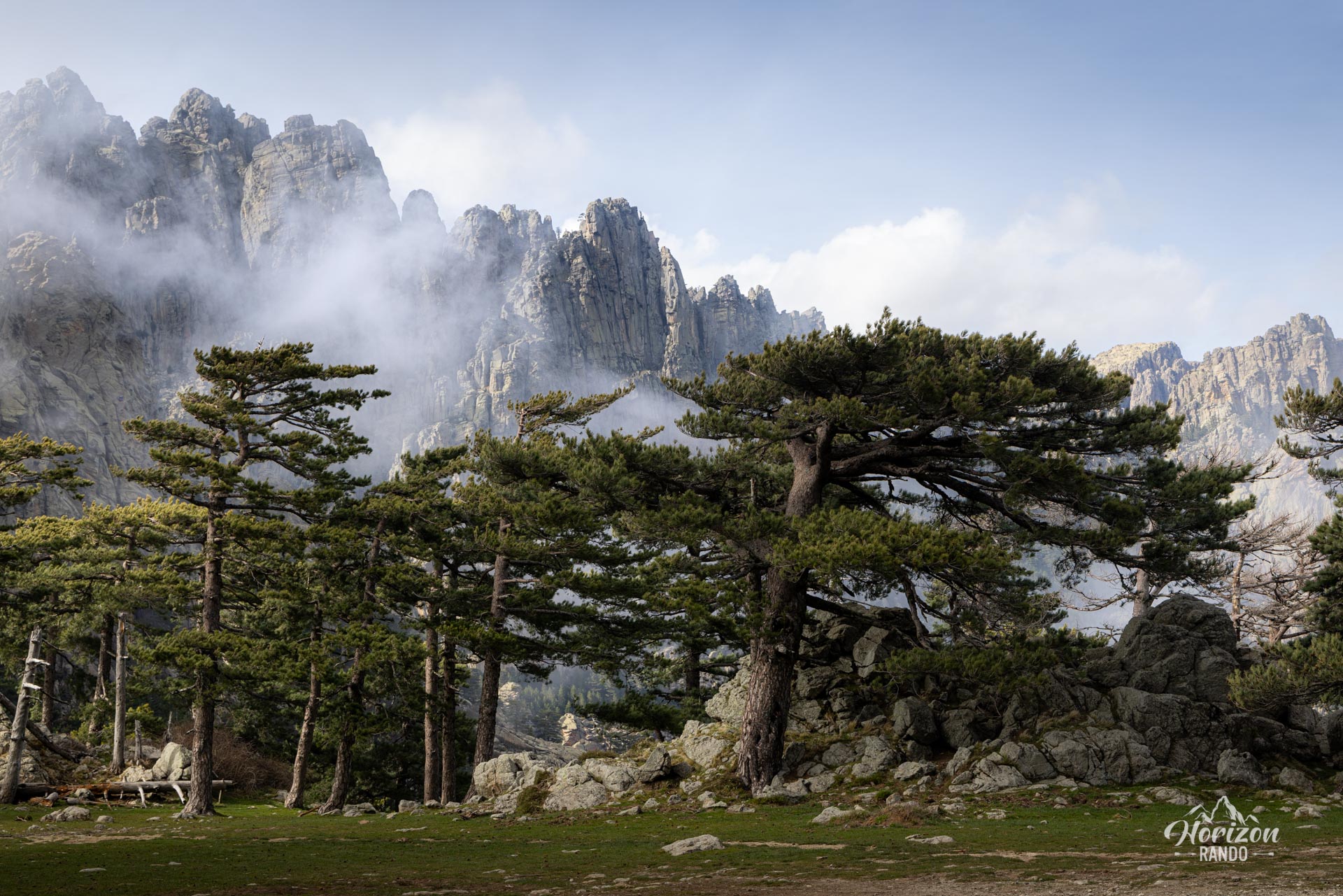
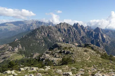
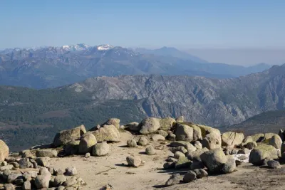
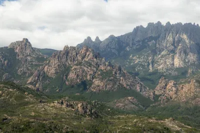
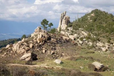
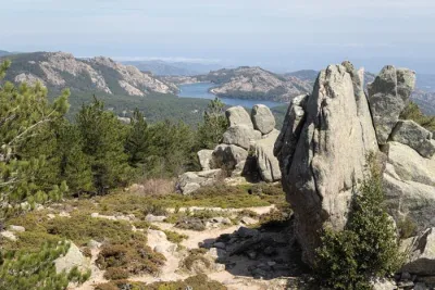
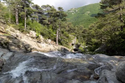
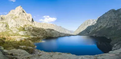
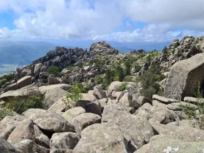
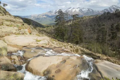
The trail begins at the renowned Bavella Pass and passes through a stunning pine forest, which provides welcome shade on the way to this unique formation. Along the way, you can enjoy superb views of the Aiguilles de Bavella and, in the distance, the Mediterranean Sea. This accessible and relatively short hike is one of the most popular in the massif and attracts many hikers in the summer. However, it is not advisable to venture to the hole itself, as access requires climbing.
Map and elevation profile of the hike
Trou de la Bombe Hike
Difficulties of the hike
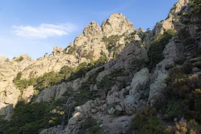
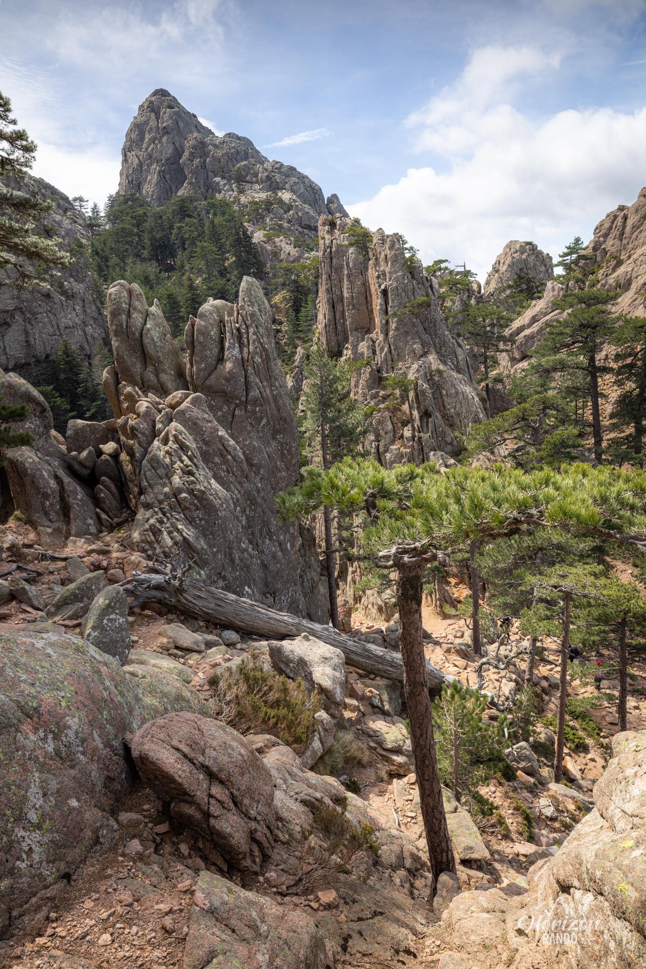
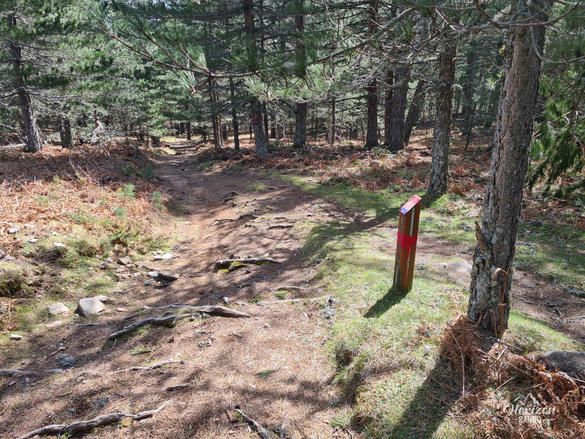
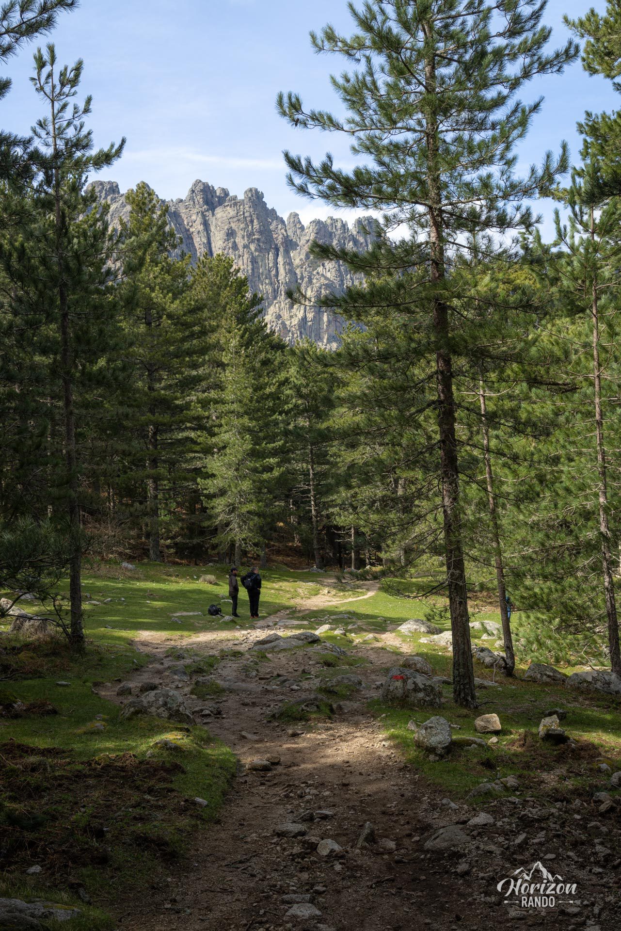
The red-marked trail does not present any particular difficulties. The route begins with a gentle climb through the pine forest. Then, the terrain gradually becomes more rugged and rocky towards the end of the trail.
What you'll love
- Spectacular panoramic views of the Aiguilles de Bavella, especially from the Dame-Jeanne viewpoint, accessible via a short detour
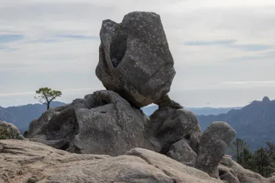
- The unique geological formation of the Trou de la Bombe, a natural window shaped by thousands of years of erosion
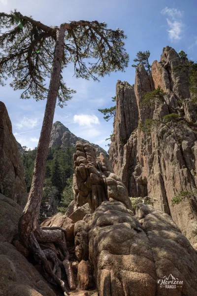
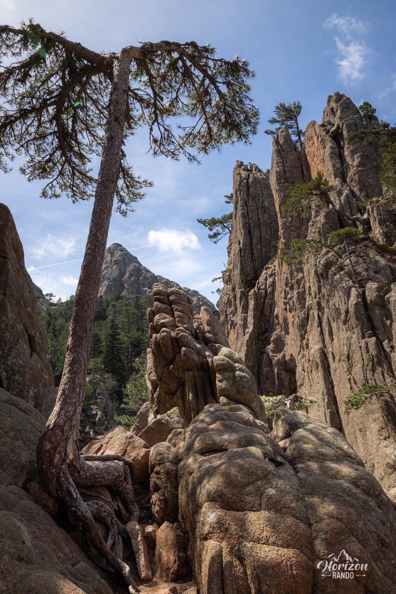
- The coolness of the magnificent Laricio pine forest, which provides welcome shade and makes for a very pleasant walk
Practical information
Parking
Park at the Bavella Pass (1,218 m). Several lots are available, some free and some paid. They can fill up quickly during the high season.
Important point
The trail markers end a few dozen meters before the Trou de la Bombe. Reaching the hole itself requires climbing a few steps before emerging onto a ravine. Additionally, the most spectacular viewpoints are found along the route.
Photos
See all 17 photos →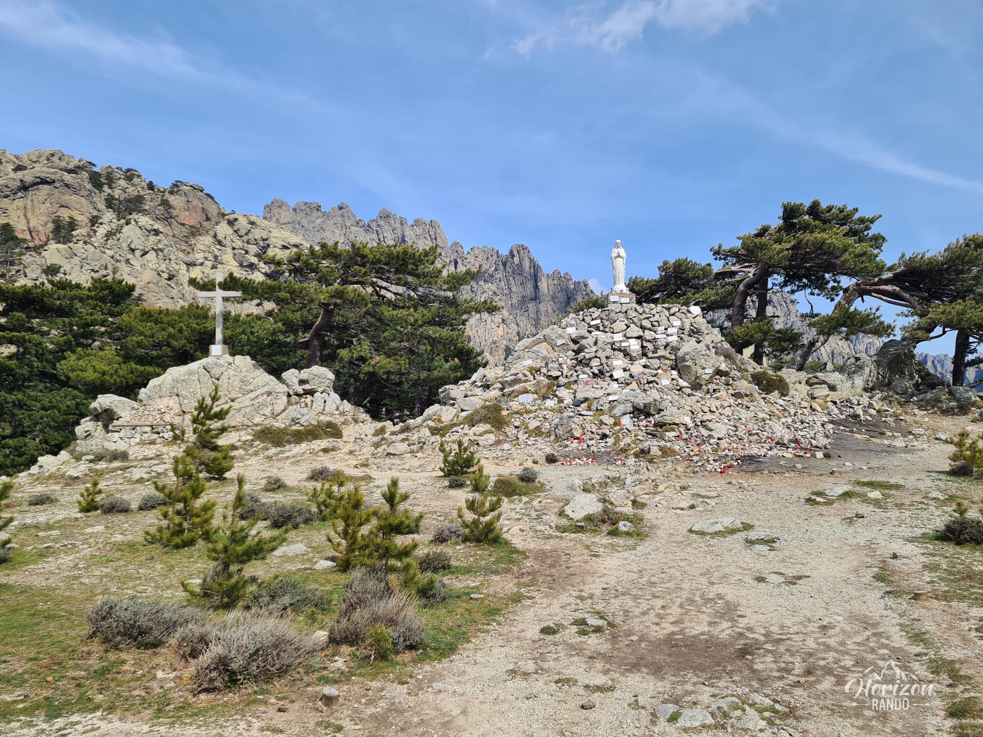
More hikes to do in Corsica
Nearby hikes
Printed from www.horizonrando.fr/en/corsica/trou-de-la-bombe/